- Parsons, West Virginia
Infobox Settlement
official_name = Parsons, West Virginia
settlement_type =City
nickname =
motto =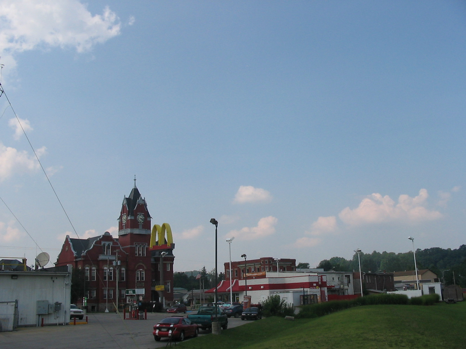
imagesize = 250px
image_caption = Central Parsons, with the Tucker County Courthouse visible in the lower left corner
image_
mapsize = 250x200px
map_caption = Location of Parsons, West Virginia
mapsize1 =
map_caption1 =subdivision_type = Country
subdivision_name =United States
subdivision_type1 = State
subdivision_name1 =West Virginia
subdivision_type2 = County
subdivision_name2 = Tuckergovernment_footnotes =
government_type =
leader_title =
leader_name =
leader_title1 =
leader_name1 =
established_title =
established_date =unit_pref = Imperial
area_footnotes =area_magnitude =
area_total_km2 = 3.1
area_land_km2 = 2.8
area_water_km2 = 0.3
area_total_sq_mi = 1.2
area_land_sq_mi = 1.1
area_water_sq_mi = 0.1population_as_of = 2000
population_footnotes =
population_total = 1463
population_density_km2 = 514.5
population_density_sq_mi = 1332.5timezone = Eastern (EST)
utc_offset = -5
timezone_DST = EDT
utc_offset_DST = -4
elevation_footnotes =
elevation_m = 502
elevation_ft = 1647
latd = 39 |latm = 5 |lats = 45 |latNS = N
longd = 79 |longm = 40 |longs = 46 |longEW = Wpostal_code_type =
ZIP code
postal_code = 26287
area_code = 304
blank_name = FIPS code
blank_info = 54-62284GR|2
blank1_name = GNIS feature ID
blank1_info = 1555312GR|3
website =
footnotes = The town of Parsons is thecounty seat GR|6 of Tucker County,West Virginia , in theUnited States . The population was 1,463 at the 2000 census. The town was named for Ward Parsons, described by one source as having once owned the land on which the town was built, and by another as having been an aged wilderness pioneer in the area. [cite book| author=Kenny, Hamill |title= West Virginia Place Names: Their Origin and Meaning, Including the Nomenclature of the Streams and Mountains |year=1945 |publisher=The Place Name Press |location=Piedmont, West Virginia |pages= p.475]Geography
Parsons is located at coor dms|39|5|45|N|79|40|46|W|city (39.095721, -79.679465)GR|1. The
Cheat River is formed at Parsons by the confluence of theShavers Fork and the Black Fork. [cite book| title= West Virginia Atlas & Gazetteer |year=1997 |publisher=DeLorme |location=Yarmouth, Me. |isbn= 0-89933-246-3 |pages= p. 37]According to the
United States Census Bureau , the city has a total area of 1.2square mile s (3.1km² ), of which, 1.1 square miles (2.8 km²) of it is land and 0.1 square miles (0.3 km²) of it (9.17%) is water.Demographics
As of the
census GR|2 of 2000, there were 1,463 people, 642 households, and 426 families residing in the city. Thepopulation density was 1,332.5 people per square mile (513.5/km²). There were 731 housing units at an average density of 665.8/sq mi (256.6/km²). The racial makeup of the city was 98.97% White, 0.21% Native American, 0.07% from other races, and 0.75% from two or more races. Hispanic or Latino of any race were 0.34% of the population.There were 642 households out of which 27.4% had children under the age of 18 living with them, 52.5% were married couples living together, 10.3% had a female householder with no husband present, and 33.5% were non-families. 29.9% of all households were made up of individuals and 14.5% had someone living alone who was 65 years of age or older. The average household size was 2.28 and the average family size was 2.82.
In the city the population was spread out with 22.4% under the age of 18, 6.7% from 18 to 24, 27.8% from 25 to 44, 25.2% from 45 to 64, and 18.0% who were 65 years of age or older. The median age was 40 years. For every 100 females there were 89.5 males. For every 100 females age 18 and over, there were 86.8 males.
The median income for a household in the city was $26,424, and the median income for a family was $31,645. Males had a median income of $22,331 versus $20,069 for females. The
per capita income for the city was $16,565. About 16.1% of families and 18.7% of the population were below thepoverty line , including 22.7% of those under age 18 and 13.0% of those age 65 or over.References
External links
Wikimedia Foundation. 2010.