- National Register of Historic Places listings in Greene County, Pennsylvania
-
 Location of Greene County in Pennsylvania
This is a list of the National Register of Historic Places listings in Greene County, Pennsylvania.
This is intended to be a complete list of the properties and districts on National Register of Historic Places in Greene County, Pennsylvania, United States. The locations of National Register properties and districts for which the latitude and longitude coordinates are included below, may be seen in a Google map.[1]
There are 44 properties and districts listed on the National Register in the county.
-
- This National Park Service list is complete through NPS recent listings posted November 10, 2011.[2]
Current listings
[3] Landmark name Image Date listed Location City or town Summary 1 Alexander V. Boughner House March 9, 1995 Junction of 2nd and Minor Streets
39°47′30″N 79°54′51″W / 39.791667°N 79.914167°WGreensboro 2 Bridge in Franklin Township 
June 22, 1988 Pennsylvania Route 188 over Ten Mile Creek at Morrisville
39°54′08″N 80°09′20″W / 39.9023°N 80.155667°WFranklin Township 3 Carmichaels Covered Bridge 
June 22, 1979 Old Town Road and Muddy Creek
39°53′55″N 79°58′38″W / 39.898611°N 79.977222°WCarmichaels 4 Colver-Rogers Farmstead November 21, 2003 East of State Route 1011 at Township 159, north of Jefferson
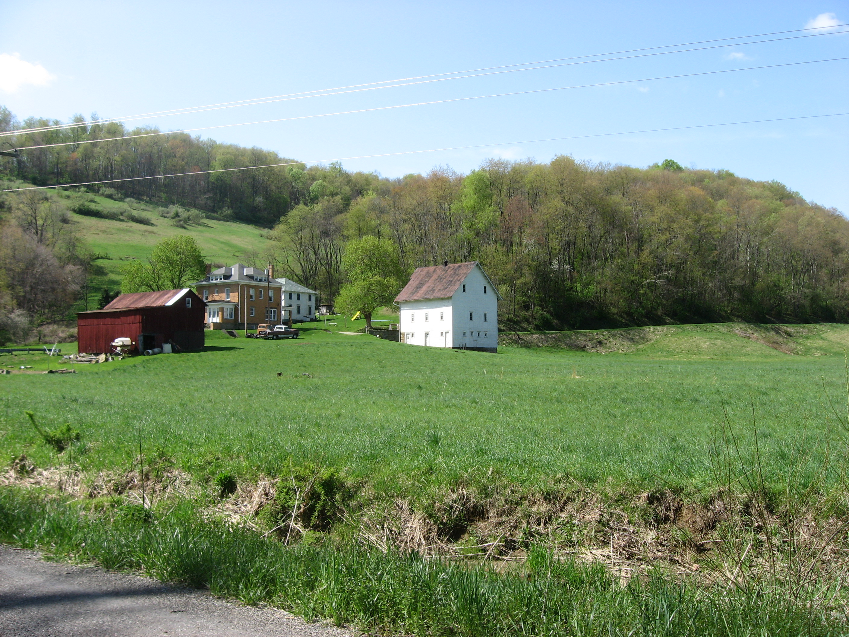
39°56′29″N 80°03′41″W / 39.941389°N 80.061389°WMorgan Township 5 John Corbley Farm May 3, 1984 North of Garards Fort
39°49′32″N 80°01′33″W / 39.825556°N 80.025833°WGreene Township 6 John Minor Crawford House July 27, 1995 State Route 2014 in Glassworks
39°48′04″N 79°54′50″W / 39.801111°N 79.913889°WMonongahela Township 7 William Crawford House November 12, 1992 Off the junction of Brown's Ferry Road and Stevenson's Lane, east of Carmichaels
39°53′39″N 79°56′57″W / 39.894167°N 79.949167°WCumberland Township 8 William Cree House July 15, 2002 Western side of State Route 1011, 0.1 miles (0.16 km) north of Pennsylvania Route 21
39°53′29″N 80°02′46″W / 39.891389°N 80.046111°WJefferson Township 9 Horn Davis Overholtzer Bridge June 22, 1979 Southeast of Fairfield
40°00′29″N 80°03′45″W / 40.008056°N 80.0625°WMorgan Township Extends into Washington County 10 Fisher Site (36GR21) 
November 15, 1982 Off Camp Resort Road along Enlow Fork Wheeling Creek, south of West Finley
39°57′36″N 80°28′0″W / 39.96°N 80.466667°W[4]Richhill Township 11 Richard T. Foley Site (36GR52) 
May 10, 1984 Along Job Creek, southwest of Holbrook
39°49′50.7″N 80°22′53.904″W / 39.83075°N 80.38164°W[5]Jackson Township 12 Glassworks-Core House July 27, 1995 State Route 2014 in Glassworks
39°48′00″N 79°54′48″W / 39.8°N 79.913333°WMonongahela Township 13 Glassworks-Gabler House July 27, 1995 State Route 2014 in Glassworks
39°48′00″N 79°54′48″W / 39.8°N 79.913333°WMonongahela Township 14 George West Gordon Farm August 24, 2000 333 Mary Hoge Road, 0.3 miles (0.48 km) southwest of Gordon Hill
39°51′06″N 80°09′24″W / 39.851667°N 80.156667°WWhiteley Township 15 Greene Academy December 12, 1976 314 North Market Street
39°53′58″N 79°58′38″W / 39.899444°N 79.977222°WCarmichaels 16 Greene Hills Farm April 23, 1973 3.5 miles (5.6 km) east of Waynesburg on Pennsylvania Route 21
39°53′20″N 80°07′29″W / 39.888889°N 80.124722°WFranklin Township 17 Greensboro Historic District November 17, 1995 Roughly bounded by County, Second, Walnut, Front and Clear Streets and the Monongahela River
39°47′29″N 79°54′45″W / 39.791389°N 79.9125°WGreensboro 18 Greensboro Public School 
March 9, 1995 Junction of Second and Clear Streets
39°47′36″N 79°54′45″W / 39.793333°N 79.9125°WGreensboro 19 Grimes Covered Bridge June 22, 1979 Off Pennsylvania Route 221 at the crossing of Ruff Creek, north of Waynesburg
39°57′16″N 80°09′35″W / 39.954444°N 80.159722°WWashington Township 20 Hamilton-Ely Farmstead March 2, 2006 1055 Sugar Run Road
39°50′17″N 80°10′43″W / 39.838056°N 80.178611°WWhiteley Township 21 Hanna Hall 
April 18, 1979 College Street
39°53′58″N 80°11′13″W / 39.899444°N 80.186944°WWaynesburg 22 Charles Grant Heasley House February 21, 1991 75 Sherman Avenue in the Bonar Addition, east of Waynesburg
39°53′50″N 80°10′30″W / 39.897222°N 80.175°WFranklin Township 23 Hughes House 
December 27, 1972 Hatfield Street, north of Jefferson
39°55′58″N 80°03′36″W / 39.932778°N 80.06°WJefferson Township 24 James Jones House March 9, 1995 Junction of Front and Stone Streets
39°47′37″N 79°54′41″W / 39.793611°N 79.911389°WGreensboro 25 Thomas Kent, Jr., Farm August 16, 2000 208 Laurel Road, south of Waynesburg
39°52′31″N 80°10′13″W / 39.875278°N 80.170278°WFranklin Township 26 King Covered Bridge 
June 22, 1979 South of Kuhntown at the crossing of Hoover Run
39°45′25″N 80°16′21″W / 39.757°N 80.2725°WWayne Township 27 Lippincott Covered Bridge June 22, 1979 Off Pennsylvania Route 221 at the crossing of Ruff Creek, northeast of Waynesburg
39°56′36″N 80°07′35″W / 39.943333°N 80.126389°WMorgan Township 28 Marion Bridge 
June 22, 1988 Pennsylvania Route 88 over the Monongahela River
39°44′22″N 79°54′19″W / 39.739444°N 79.905278°WPoint Marion Demolished November 16, 2009.[6] Extended into Fayette County. 29 Mason and Dixon Survey Terminal Point June 25, 1973 2.25 miles (3.62 km) northeast of Pentress on Monongalia County Route 39
39°43′16″N 80°07′07″W / 39.721111°N 80.118611°WPerry Township Extends into Monongalia County, West Virginia 30 McClelland-Grimes Farm June 28, 2010 844 Craynes Run Rd.
39°57′14″N 80°08′58″W / 39.953889°N 80.149444°WMorgan and Washington Townships 31 Miller Hall 
April 14, 1978 51 West College Street
39°53′58″N 80°11′17″W / 39.899444°N 80.188056°WWaynesburg 32 James Parreco House 
March 9, 1995 Junction of Third and Clear Streets
39°47′38″N 79°54′48″W / 39.793889°N 79.913333°WGreensboro 33 Peters-Graham House March 9, 1995 Junction of Walnut and Second Streets
39°47′34″N 79°54′47″W / 39.792778°N 79.913056°WGreensboro 34 Neils Red Covered Bridge June 22, 1979 East of Garards Fort at the crossing of Whiteley Creek
39°48′43″N 80°00′50″W / 39.811944°N 80.013889°WGreene Township 35 Reppert-Gabler House July 27, 1995 State Route 2014 in Glassworks
39°47′58″N 79°54′49″W / 39.799444°N 79.913611°WMonongahela Township 36 John Rex Farm May 8, 1998 0.5 miles (0.80 km) east of Jefferson on Pennsylvania Route 188
39°56′22″N 80°03′00″W / 39.939444°N 80.05°WJefferson Township 37 Rice's Landing Historic District 
December 24, 1992 Roughly bounded by the Monongahela River, Water, Second, Bayard, Carmichael, High, Main and Ferry including Pumpkin Run Peak
39°56′57″N 80°00′00″W / 39.949167°N 80.0°WRices Landing 38 Scott Covered Bridge 
June 22, 1979 Covered Bridge Road off Pennsylvania Route 21 at the crossing of Ten Mile Creek, west of Rogersville
39°53′15″N 80°19′33″W / 39.8875°N 80.325833°WCenter Township 39 Shriver Covered Bridge 
June 22, 1979 South of Rogersville at the crossing of Harqus Creek
39°51′09″N 80°16′46″W / 39.8525°N 80.279444°WCenter Township 40 Sugar Grove Petroglyph Site (36GR5) March 20, 1986 Off Pennsylvania Route 88, 0.7 miles (1.1 km) northwest of its bridge over Whiteley Creek
39°49′36″N 79°57′40″W / 39.82667°N 79.96111°W[7]Monongahela Township 41 Ernest Thralls House May 12, 1999 Pennsylvania Route 218 at Township Routes 353 and 522, south of Spraggs
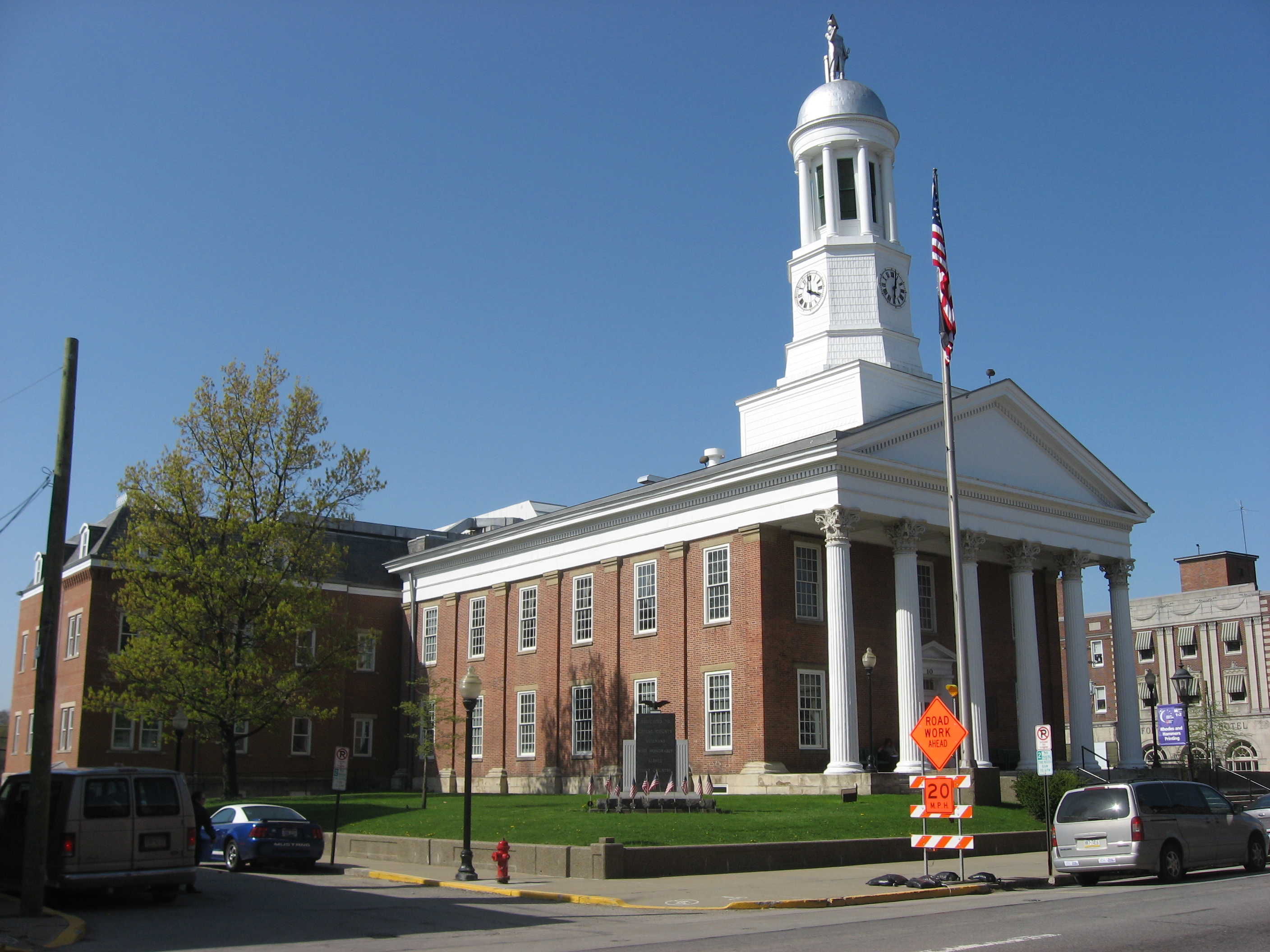
39°45′08″N 80°13′09″W / 39.752222°N 80.219167°WWayne Township 42 Waynesburg Historic District 
March 1, 1984 Roughly bounded by 2nd Alley, Cherry Avenue, East and Bowlby Streets
39°53′51″N 80°11′18″W / 39.8975°N 80.188333°WWaynesburg 43 White Covered Bridge 
June 22, 1979 Roberts Run Road, west of Garards Fort at the crossing of Whiteley Creek
39°48′24″N 80°03′39″W / 39.806667°N 80.060833°WGreene Township 44 Nettie Woods Covered Bridge 
June 22, 1979 North of Oak Forest at the crossing of Pursley Creek
39°51′47″N 80°14′04″W / 39.863°N 80.234444°WCenter Township See also
- List of National Historic Landmarks in Pennsylvania
- National Register of Historic Places listings in Pennsylvania
- List of Pennsylvania state historical markers in Greene County
References
- ^ The latitude and longitude information provided in this table was derived originally from the National Register Information System, which has been found to be fairly accurate for about 99% of listings. For about 1% of NRIS original coordinates, experience has shown that one or both coordinates are typos or otherwise extremely far off; some corrections may have been made. A more subtle problem causes many locations to be off by up to 150 yards, depending on location in the country: most NRIS coordinates were derived from tracing out latitude and longitudes off of USGS topographical quadrant maps created under North American Datum of 1927, which differs from the current, highly accurate GPS system used by Google maps. Chicago is about right, but NRIS longitudes in Washington are higher by about 4.5 seconds, and are lower by about 2.0 seconds in Maine. Latitudes differ by about 1.0 second in Florida. Some locations in this table may have been corrected to current GPS standards.
- ^ "National Register of Historic Places: Weekly List Actions". National Park Service, United States Department of the Interior. Retrieved on November 10, 2011.
- ^ Numbers represent an ordering by significant words. Various colorings, defined here, differentiate National Historic Landmark sites and National Register of Historic Places Districts from other NRHP buildings, structures, sites or objects.
- ^ Location derived from this county webpage; the NRIS lists the site as "Address Restricted"
- ^ Location derived from its NRHP nomination form; the NRIS lists the site as "Address Restricted"
- ^ "Old bridge at Point Marion brought down in controlled implosion". Pittsburgh Post-Gazette. November 16, 2009. http://www.post-gazette.com/pg/09320/1013926-100.stm. Retrieved March 22, 2010.
- ^ Location derived from Swauger, James L. Rock Art of the Upper Ohio Valley. Graz: Akademische Druck und Verlagsanstalt, 1974, 115. The NRIS lists the site as "Address Restricted".
Municipalities and communities of Greene County, Pennsylvania County seat: Waynesburg Boroughs 
Townships Aleppo | Center | Cumberland | Dunkard | Franklin | Freeport | Gilmore | Gray | Greene | Jackson | Jefferson | Monongahela | Morgan | Morris | Perry | Richhill | Springhill | Washington | Wayne | Whiteley
CDPs Unincorporated
communitiesCategories:- Greene County, Pennsylvania
- National Register of Historic Places in Pennsylvania by county
-


Wikimedia Foundation. 2010.