- National Register of Historic Places listings in Berks County, Pennsylvania
-
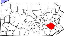 Location of Berks County in Pennsylvania
This is a list of the National Register of Historic Places listings in Berks County, Pennsylvania.
This is intended to be a complete list of the properties and districts on National Register of Historic Places in Berks County, Pennsylvania, United States. The locations of National Register properties and districts for which the latitude and longitude coordinates are included below, may be seen in a Google map.[1]
There are 133 properties and districts listed on the National Register in the county. One site is further designated a National Historic Landmark and another is a National Historic Site.
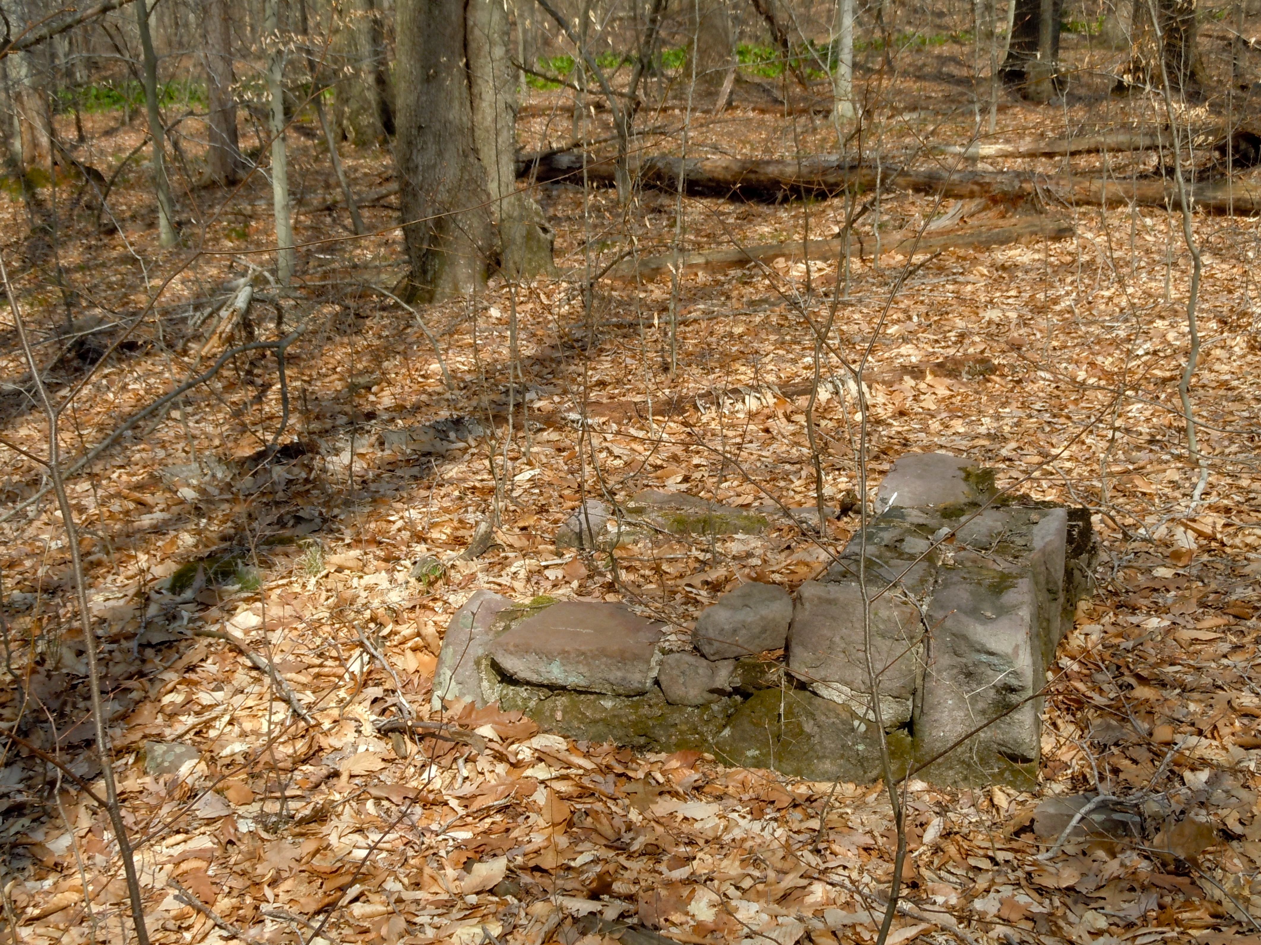
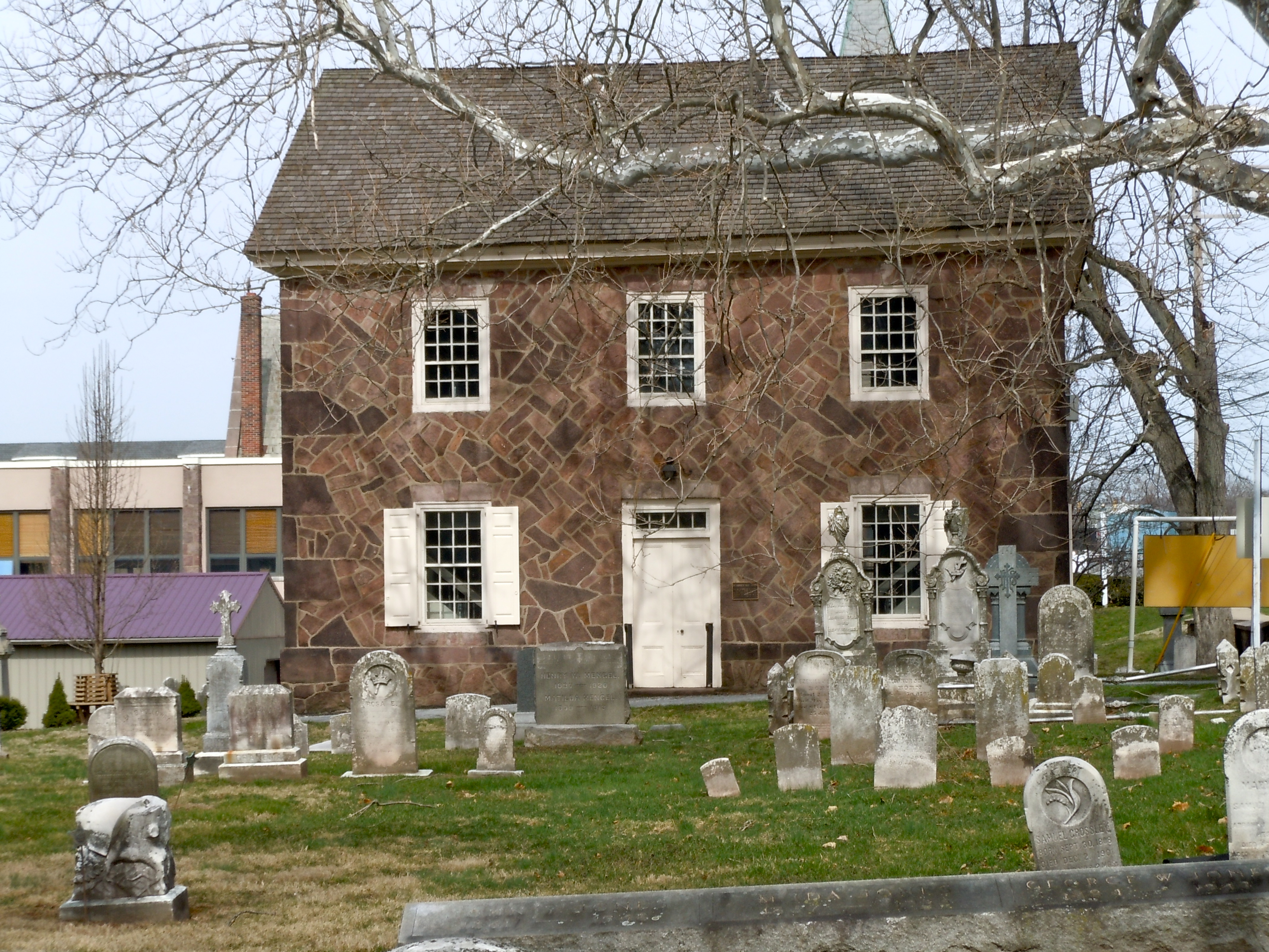
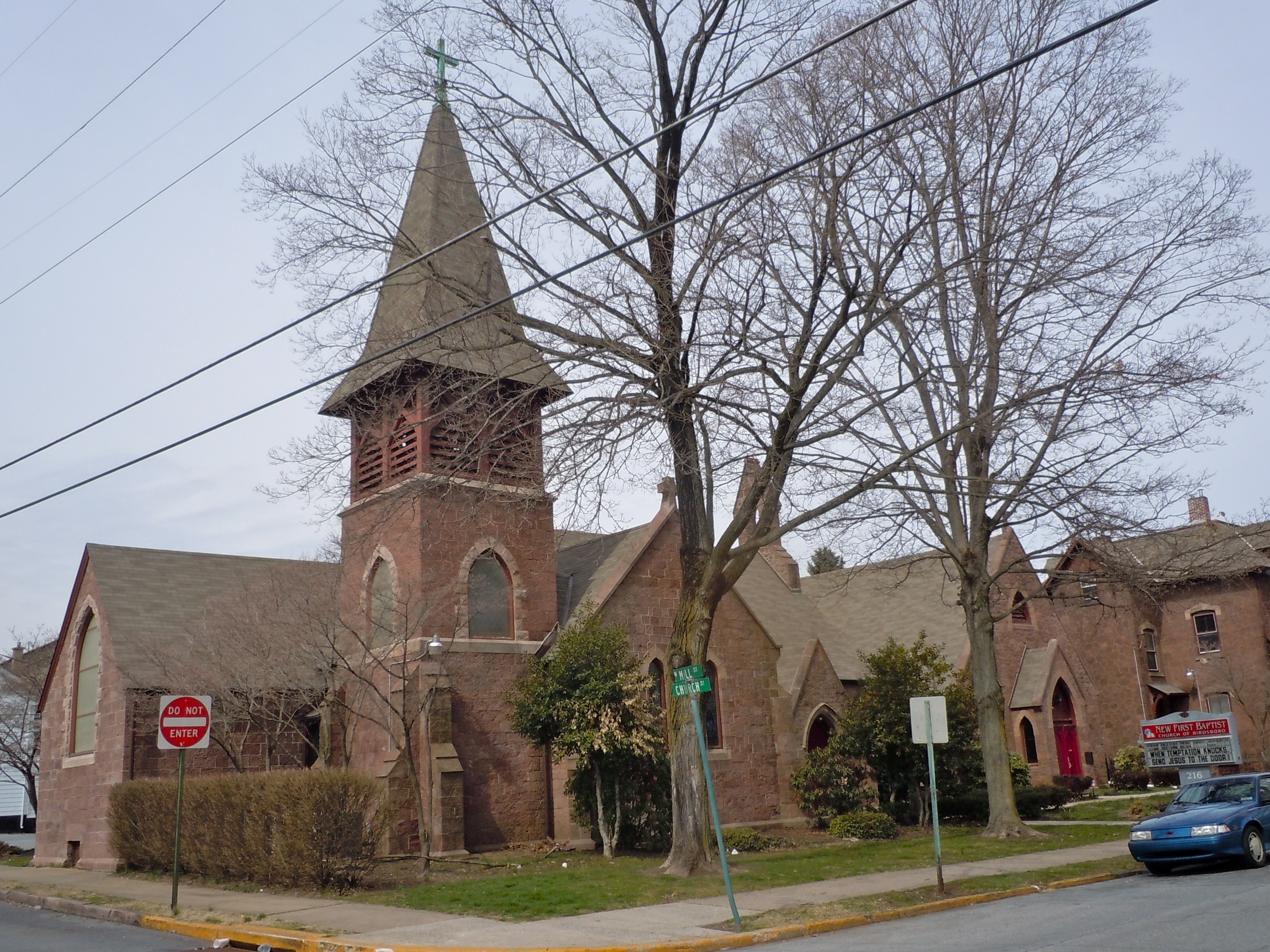
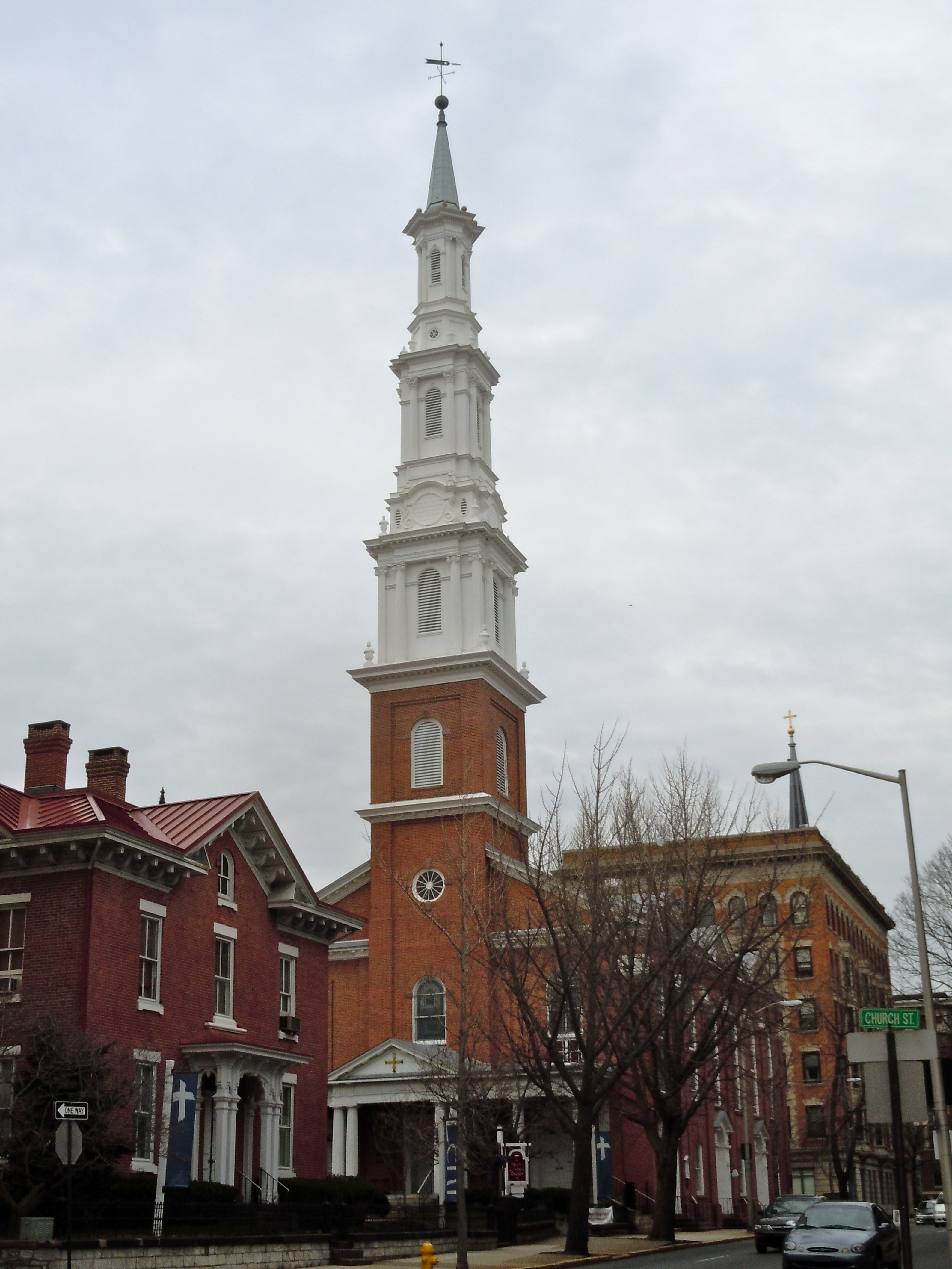
-
- This National Park Service list is complete through NPS recent listings posted November 10, 2011.[2]
Current listings
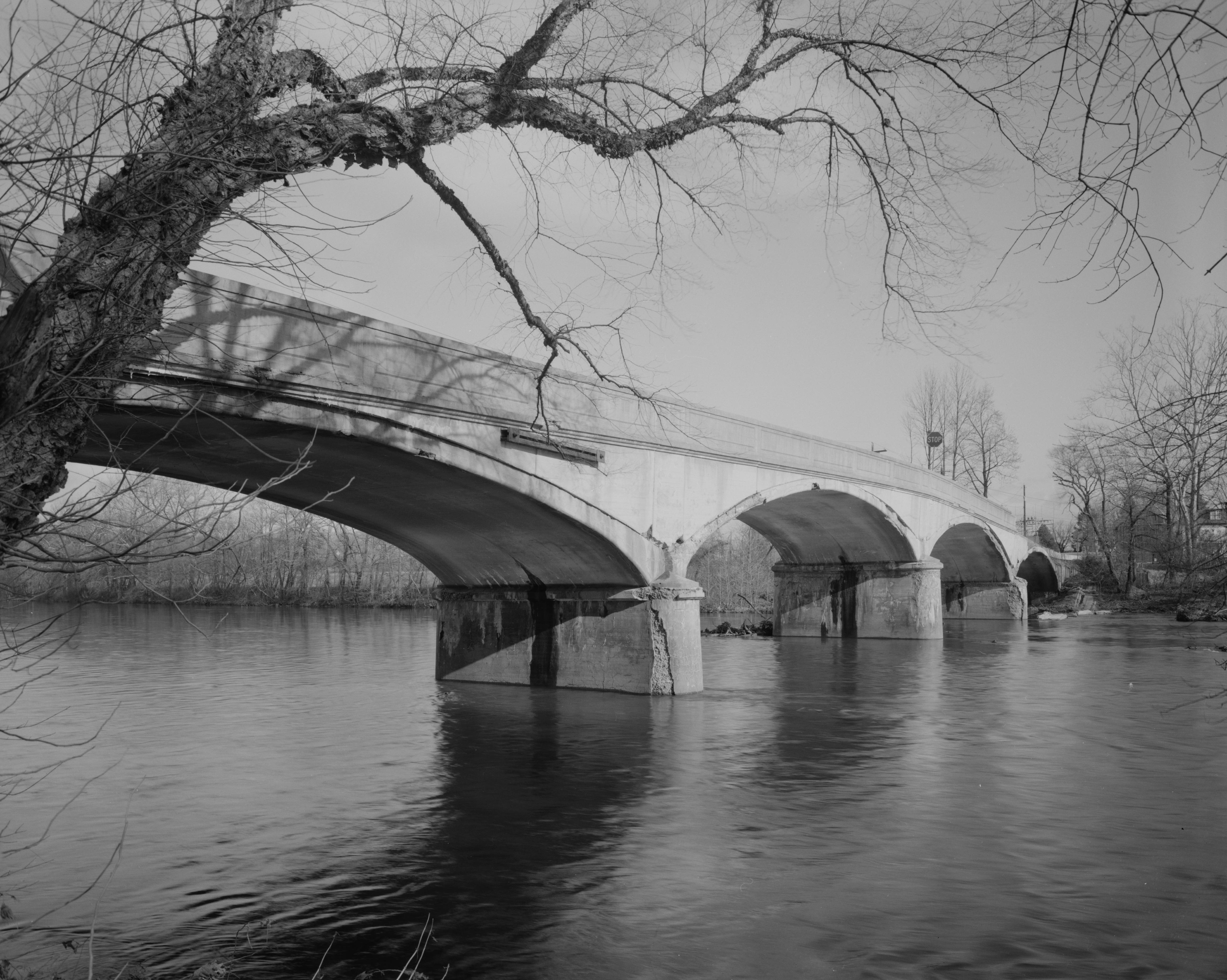
[3] Landmark name Image Date listed Location City or town Summary 1 Allegheny Aqueduct February 23, 1984 Pennsylvania Route 724 and Allegheny Creek at Gibraltar
40°17′10″N 75°53′13″W / 40.286111°N 75.886944°WRobeson Township 2 Alleghany Mennonite Meetinghouse June 6, 2009 39 Horning Road
40°14′07″N 75°58′17″W / 40.235278°N 75.971389°WBrecknock Township 3 Askew Bridge 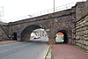
March 1, 1973 North 6th Street near Woodward Street
40°20′37″N 75°55′34″W / 40.343611°N 75.926111°WReading 4 Bahr Mill Complex November 8, 1990 Ironstone Drive
40°20′19″N 75°39′31″W / 40.338611°N 75.658611°WColebrookdale Township 5 Barto Bridge June 22, 1988 Legislative Route 284 over a tributary of Perkiomen Creek near Bally
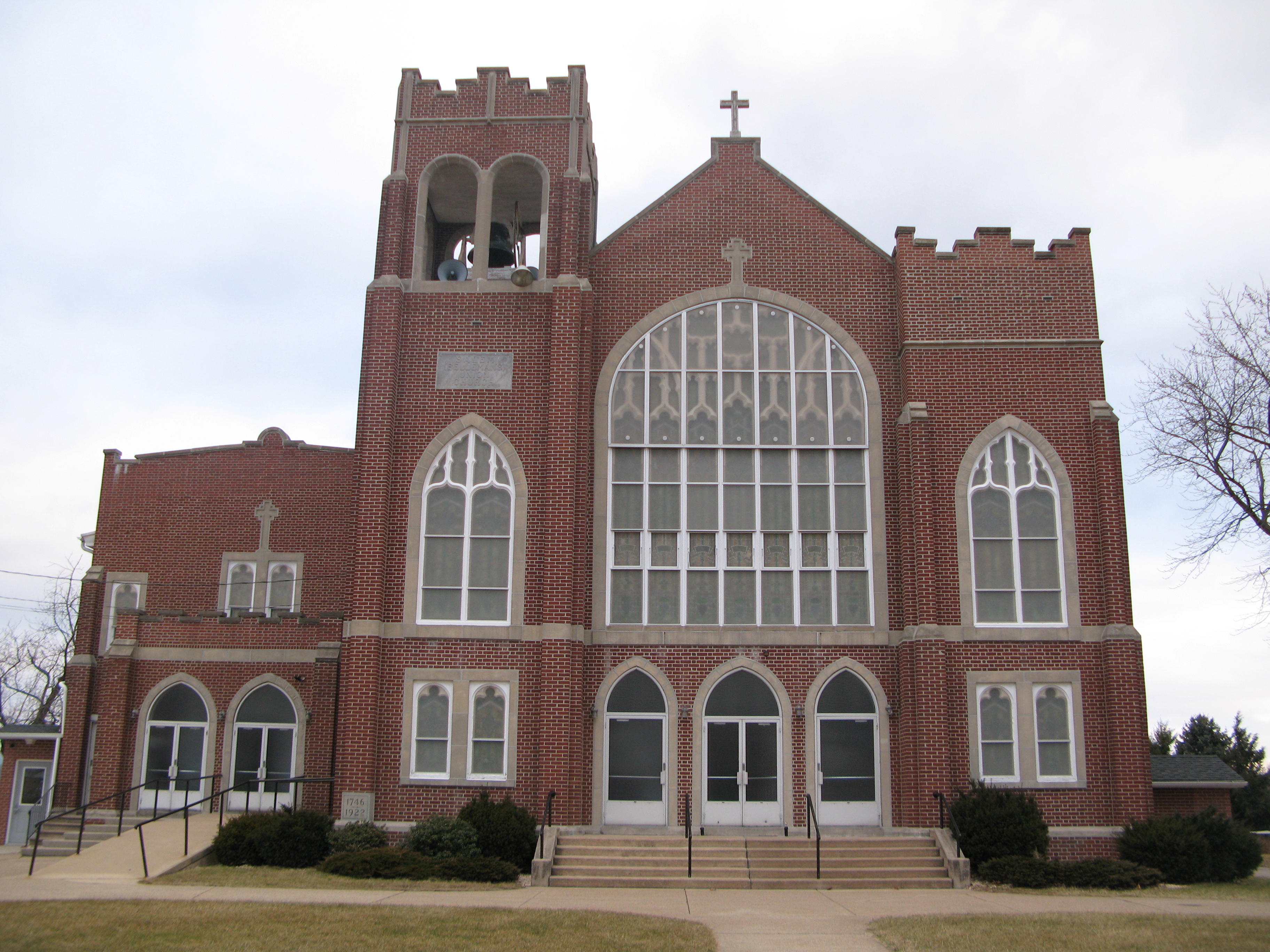
40°23′46″N 75°36′31″W / 40.396111°N 75.608611°WWashington Township 6 Belleman's Union Church 
December 4, 1973 Southwest of Centerport off Bellemans Church Road
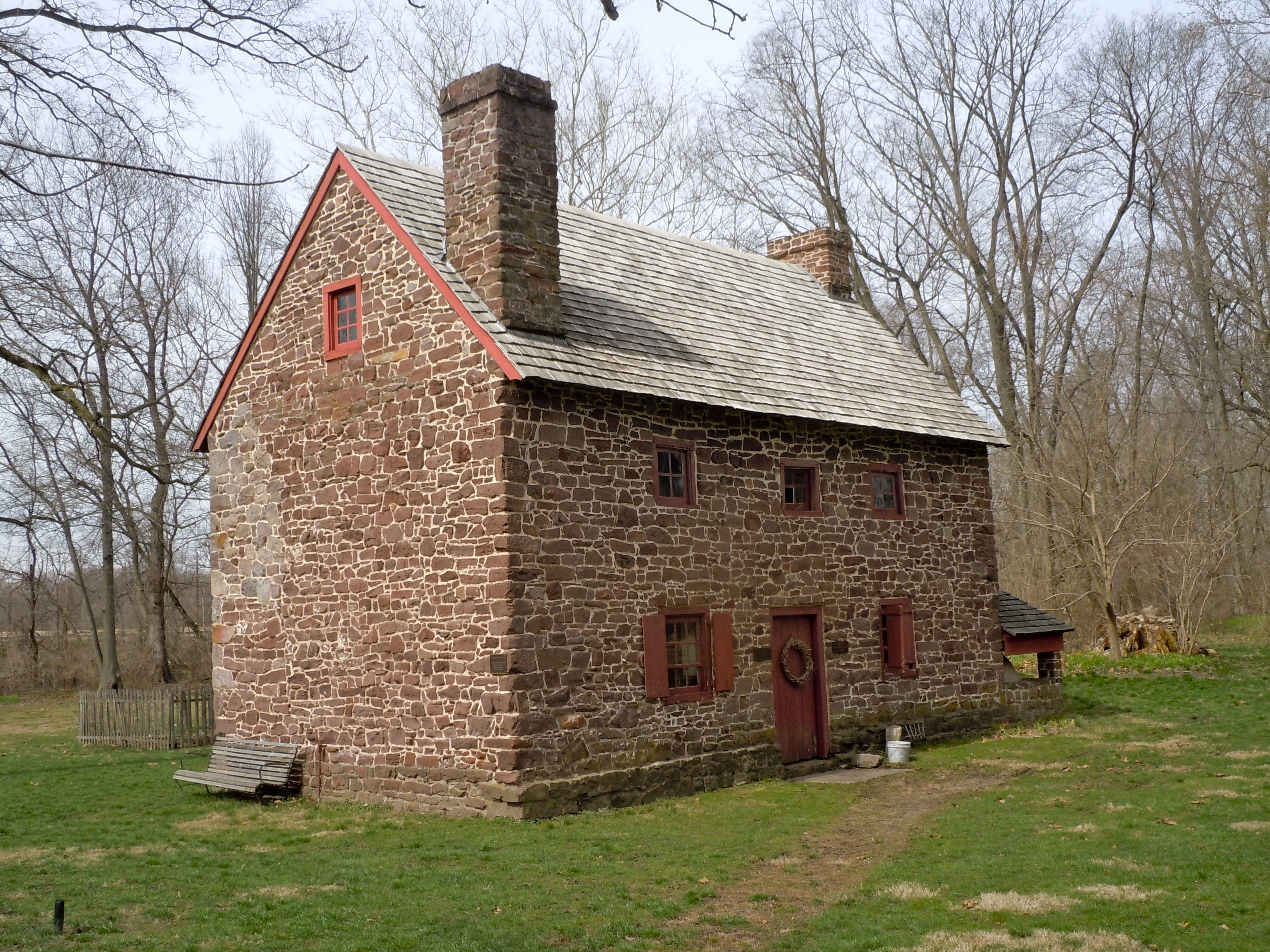
40°27′31″N 76°01′52″W / 40.458611°N 76.031111°WCentre Township 7 Daniel Berk Log House December 16, 1977 South of Albany on Maiden Creek
40°36′15″N 75°52′24″W / 40.604167°N 75.873333°WAlbany Township 8 Berkley Historic District August 22, 2002 Section of Snyder Road between Pennsylvania Route 61 and Berkley Road
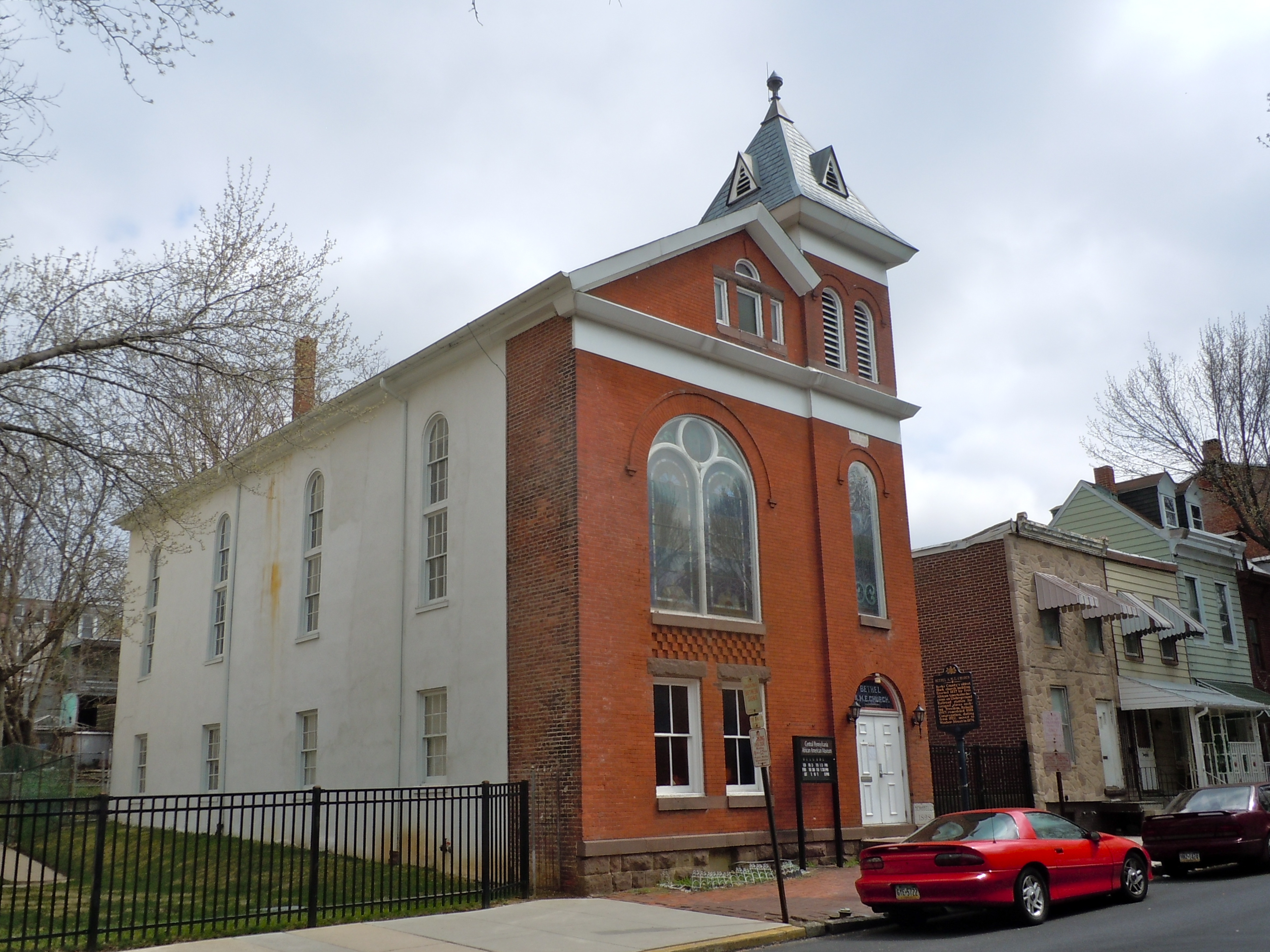
40°25′39″N 75°56′16″W / 40.42763°N 75.93782°WOntelaunee Township 9 Bethel A.M.E. Church 
September 7, 1979 119 North 10th Street
40°20′15″N 75°55′05″W / 40.3375°N 75.918056°WReading 10 John Bishop House 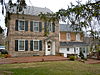
June 27, 1985 Perkiomen Avenue east of Reading
40°18′02″N 75°50′56″W / 40.300556°N 75.848889°WExeter Township 11 Daniel Boone Homestead Site and Bertolet Cabin 
March 24, 1972 2 miles (3.2 km) north of Birdsboro
40°17′37″N 75°48′13″W / 40.293611°N 75.803611°WAlbany Township 12 Boonecroft July 26, 1982 Oley Line Road near Limekiln
40°19′56″N 75°48′10″W / 40.332222°N 75.802778°WExeter Township 13 Borneman Mill November 8, 1990 Off Pennsylvania Route 100 southwest of Clayton
40°24′57″N 75°34′39″W / 40.415833°N 75.5775°WWashington Township 14 Boyer-Mertz Farm September 9, 1992 Junction of Noble Street and Bastian Road
40°29′50″N 75°45′59″W / 40.497222°N 75.766389°WMaxatawny Township 15 Bridge in Albany Township June 22, 1988 Legislative Route 06173 over Maiden Creek
40°38′07″N 75°51′21″W / 40.635278°N 75.855833°WAlbany Township 16 Brobst Mill November 8, 1990 Off Township 814 on Pine Creek
40°37′23″N 75°53′50″W / 40.623056°N 75.897222°WAlbany Township 17 Philip Christman House March 7, 1973 1 mile (1.6 km) southeast of Bally at the Berks
40°24′00″N 75°34′13″W / 40.4°N 75.570278°WWashington Township 18 City Hall 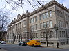
April 13, 1982 8th and Washington Streets
40°20′16″N 75°55′18″W / 40.337778°N 75.921667°WReading 19 Cotton and Maple Streets School 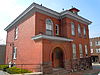
July 17, 1986 Cotton and Maple Streets
40°19′42″N 75°55′05″W / 40.328333°N 75.918056°WReading 20 Dale Furnace and Forge Historic District September 6, 1991 Forgedale Road northwest of Bally
40°25′21″N 75°37′01″W / 40.4225°N 75.616944°WWashington Township 21 Dauberville Bridge 
June 22, 1988 Belleman's Church Road over the Schuylkill River at Dauberville
40°27′25″N 75°58′37″W / 40.456944°N 75.976944°WCentre and Ontelaunee Townships 22 Davies House November 14, 1982 Berkley Road in Berkley
40°25′39″N 75°56′06″W / 40.4275°N 75.935°WOntelaunee Township 23 H.K. Deisher Knitting Mill September 5, 1985 56 Noble Street
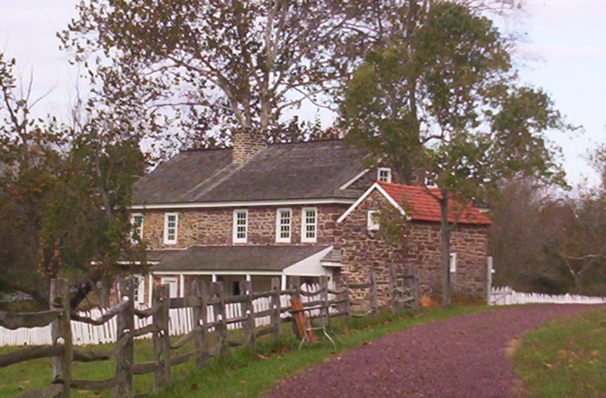
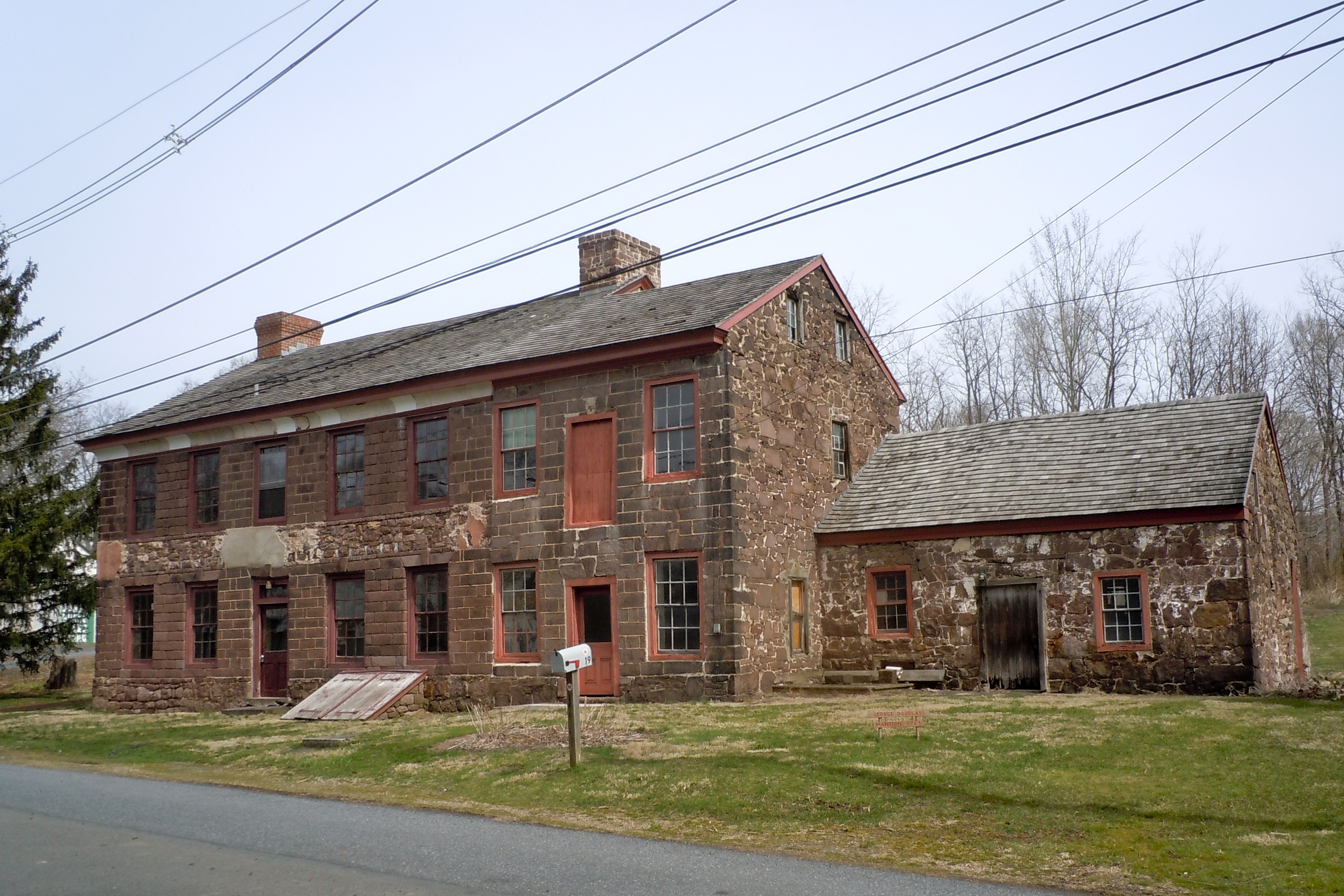
40°30′58″N 75°46′36″W / 40.516111°N 75.776667°WKutztown 24 George Douglass House 
June 25, 2009 19 Old Philadelphia Pike
40°15′15″N 75°43′34″W / 40.254167°N 75.726111°WAmity Township 25 Dreibelbis Mill November 8, 1990 Junction of Dreibelbis Mill and Bellevue Roads
40°30′22″N 75°57′23″W / 40.506111°N 75.956389°WPerry Township 26 Dreibelbis Station Bridge 
February 23, 1981 South of Lenhartsville on Township 745
40°33′17″N 75°52′48″W / 40.554722°N 75.88°WGreenwich Township 27 Joel Dreibelbis Farm October 30, 1989 Pennsylvania Route 143 near Virginville
40°31′04″N 75°52′35″W / 40.517778°N 75.876389°WRichmond Township 28 First National Bank in Fleetwood May 20, 2005 Main and Franklin Street
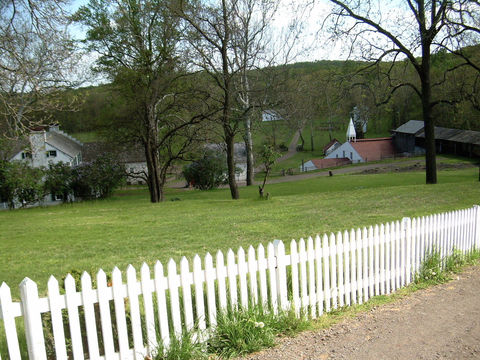
40°27′20″N 75°49′06″W / 40.455556°N 75.818333°WFleetwood 29 Henry Fisher House June 4, 1973 About 1.25 miles (2.01 km) north of Yellow House on Pennsylvania Route 662
40°20′27″N 75°45′40″W / 40.340833°N 75.761111°WOley Township 30 Charles S. Foos Elementary School 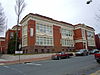
November 10, 1983 Douglass and Weiser Streets
40°20′52″N 75°56′18″W / 40.347778°N 75.938333°WReading 31 French Creek State Park: Six Penny Day Use District 
February 11, 1987 7 miles (11 km) northeast of Morgantown on Pennsylvania Route 345
40°14′00″N 75°47′42″W / 40.233333°N 75.795°WUnion Township 32 French Creek State Park: Organized Group Camp 4 District 
February 12, 1987 7 miles (11 km) northeast of Morgantown on Pennsylvania Route 345
40°11′58″N 75°47′43″W / 40.199444°N 75.795278°WUnion Township 33 John Gehman Farm May 7, 1992 Township Road north of Harlem
40°28′08″N 75°35′09″W / 40.468889°N 75.585833°WHereford Township 34 Geiger Mill 
November 8, 1990 Junction of Mill Road and Hay Creek Road in Geiger
40°12′00″N 75°50′15″W / 40.2°N 75.8375°WRobeson Township 35 Grand View Dairy Farm July 29, 1992 Preston Road south of Wernersville
40°18′51″N 76°05′10″W / 40.314167°N 76.086111°WSouth Heidelberg Township 36 Greisemer's Mill Bridge 
February 23, 1981 Northwest of Boyerstown on Township 579
40°21′46″N 75°44′18″W / 40.362778°N 75.738333°WOley Township 37 Griesemer-Brown Mill Complex November 8, 1990 Brown's Mill Road at Monocacy Creek
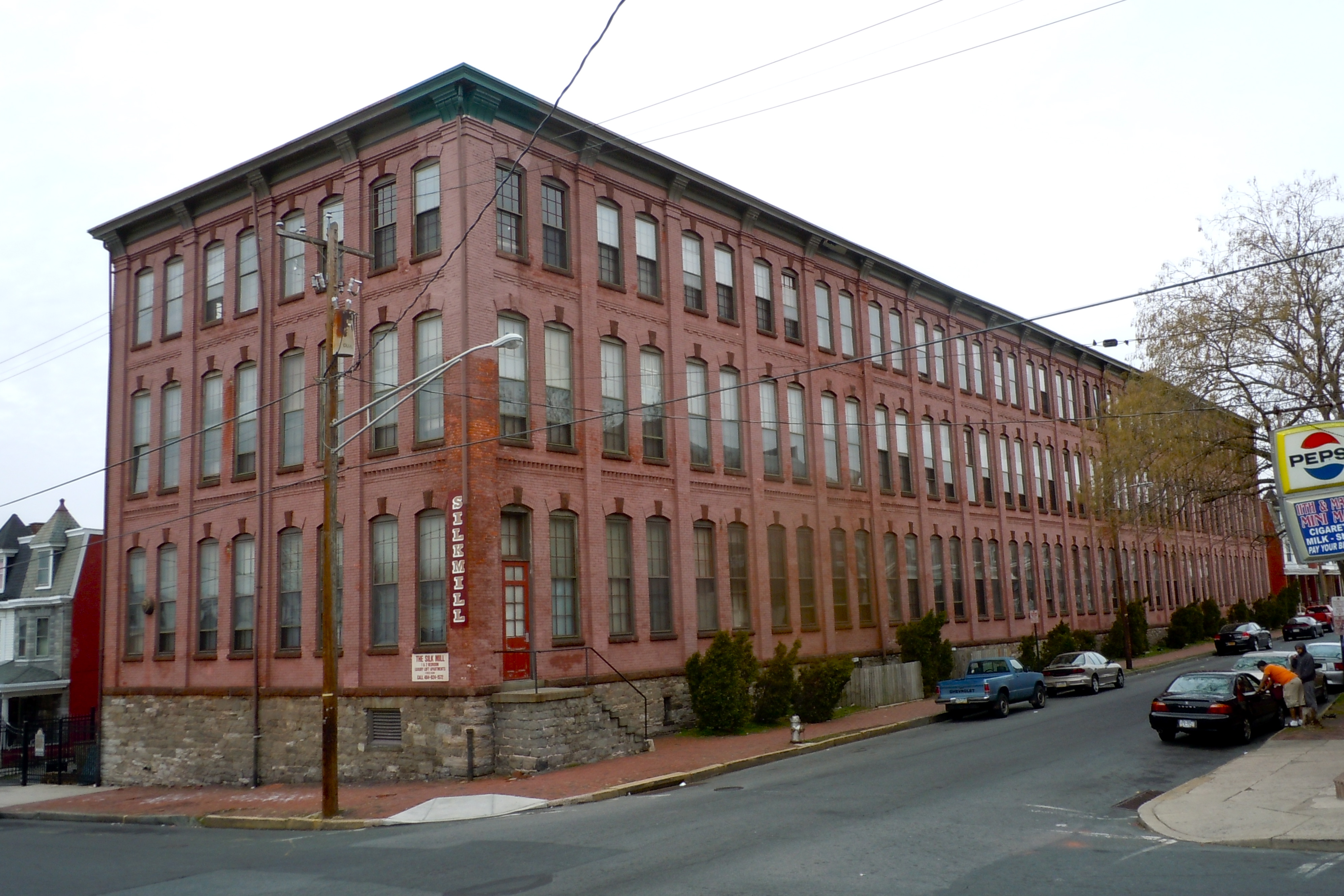
40°18′08″N 75°46′57″W / 40.302222°N 75.7825°WAmity Township 38 Grimshaw Silk Mill 
January 31, 1985 1200 North 1100 Street
40°21′10″N 75°54′58″W / 40.352778°N 75.916111°WReading 39 Gruber Wagon Works 
June 2, 1972 West of Reading off Pennsylvania Route 183 in Tulpehocken Creek Park
40°22′13″N 75°58′45″W / 40.370278°N 75.979167°WBern Township 40 Guldin Mill November 8, 1990 Off Pennsylvania Route 73 southeast of junction with U.S. Route 222
40°26′08″N 75°52′42″W / 40.435556°N 75.878333°WMaidencreek Township 41 Hain Mill November 8, 1990 Junction of Hain Mill Road and Township 495
40°21′16″N 76°04′58″W / 40.354444°N 76.082778°WLower Heidelberg Township 42 Hamburg Armory May 9, 1991 North 5th Street, south of Interstate 78
40°33′41″N 75°58′49″W / 40.561389°N 75.980278°WHamburg 43 Hamburg Historic District June 28, 2010 Roughly bounded by Franklin, Windsor, Walnut and Second Sts., Quince, Primrose, Peach and Plum Alleys and Mill Creek
40°33′20″N 75°58′55″W / 40.555556°N 75.981944°WHamburg 44 Hamburg Public Library November 3, 1988 35 North 3rd Street
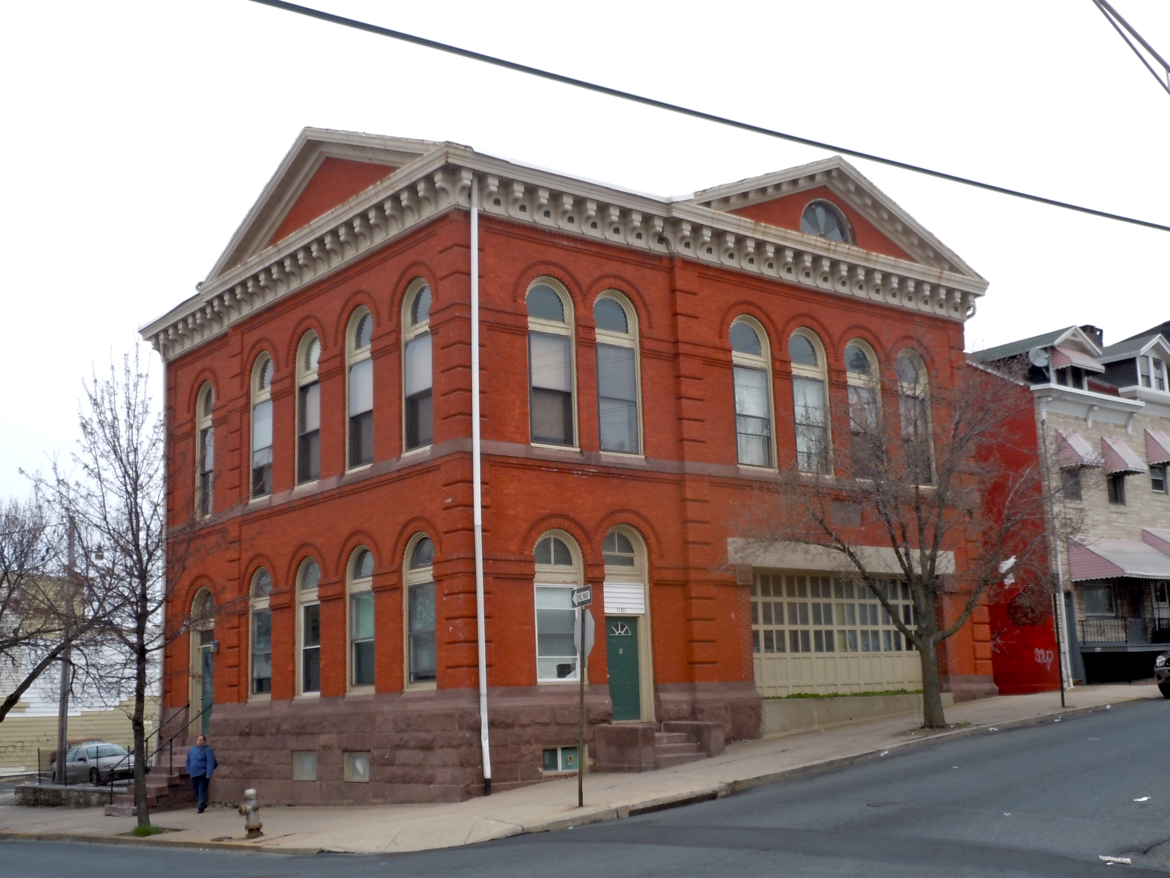
40°33′21″N 75°59′04″W / 40.555833°N 75.984444°WHamburg 45 Hampden Firehouse 
April 13, 1982 1101 Greenwich Street
40°20′39″N 75°54′57″W / 40.344167°N 75.915833°WReading 46 Hartman Cider Press January 7, 1988 Keim Road, 1.1 miles (1.8 km) west of Lobachsville
40°24′39″N 75°44′58″W / 40.410833°N 75.749444°WPike Township 47 Hendel Brothers, Sons and Company Hat Factory 
November 20, 1979 517–539 South 5th Street
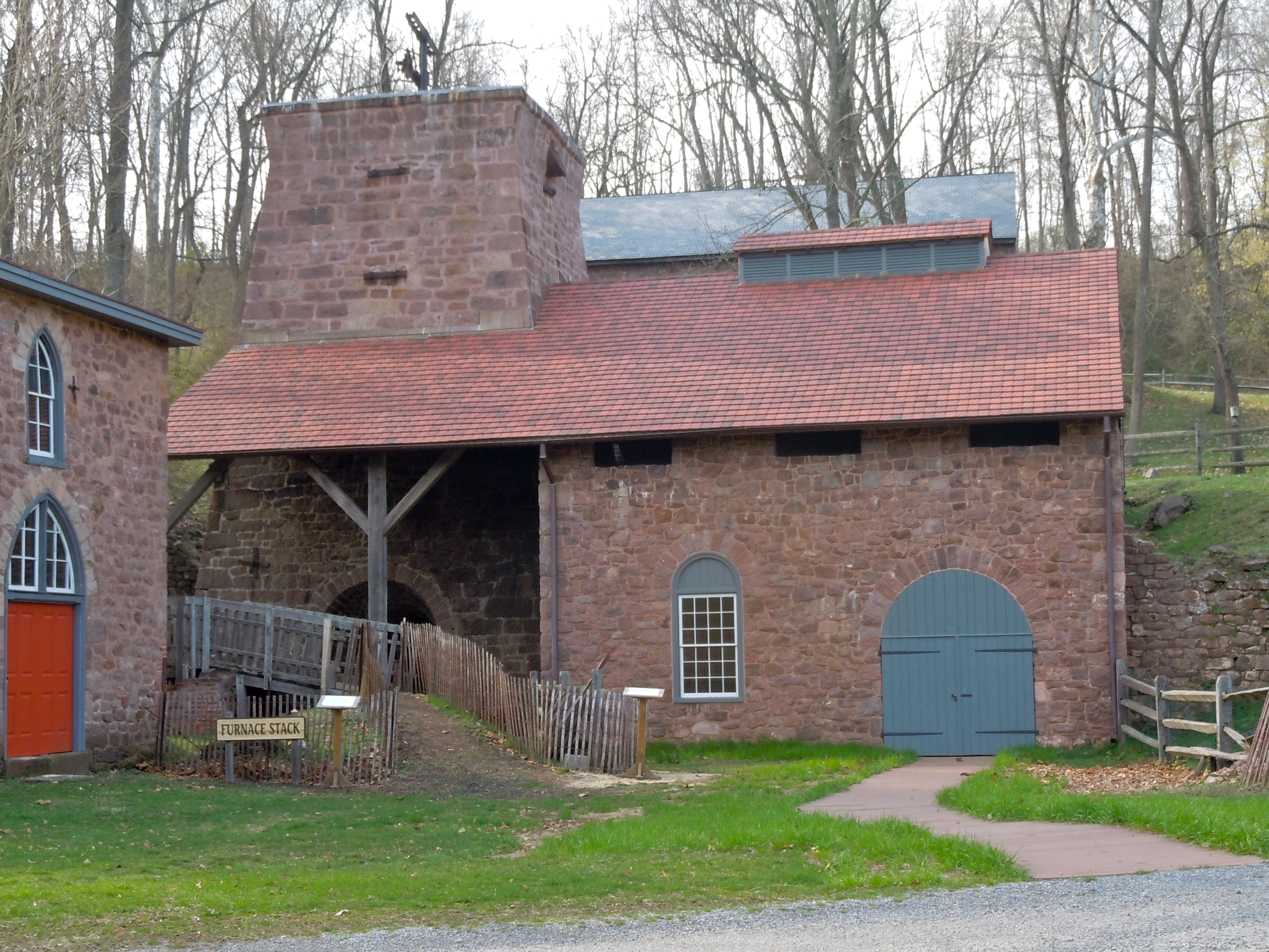
40°19′32″N 75°55′35″W / 40.325556°N 75.926389°WReading 48 Hopewell Furnace National Historic Site 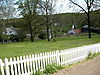
October 15, 1966 5 miles (8.0 km) south of Birdsboro
40°12′20″N 75°46′6″W / 40.20556°N 75.76833°WUnion Township Extends into Chester County 49 Hottenstein Mansion June 22, 1972 2 miles (3.2 km) east of Kutztown on U.S. Route 222
40°32′06″N 75°44′36″W / 40.535°N 75.743333°WMaxatawny Township 50 Hunter's Mill Complex December 22, 1988 Forgedale Road
40°25′41″N 75°37′15″W / 40.428056°N 75.620833°WHerreford Township 51 Ironstone Bridge June 22, 1988 Farmington Avenue over Ironstone Creek
40°19′12″N 75°39′08″W / 40.32°N 75.652222°WDouglass Township 52 Joanna Furnace Complex 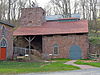
April 23, 1980 North of Morgantown on Pennsylvania Route 10
40°11′28″N 75°53′22″W / 40.191111°N 75.889444°WRobeson Township 53 Nicholas Johnson Mill November 8, 1990 Mill Crest Road
40°20′58″N 75°37′12″W / 40.349444°N 75.62°WColebrookdale Township 54 Kauffman Mill November 8, 1990 Junction of Mill and Mill Hill Roads
40°31′30″N 76°03′47″W / 40.525°N 76.063056°WUpper Bern Township 55 Keim Homestead May 1, 1974 West of Lobachsville
40°24′35″N 75°44′54″W / 40.409722°N 75.748333°WPike Township 56 Kemp's Hotel December 19, 1978 East of Kutztown on U.S. Route 222
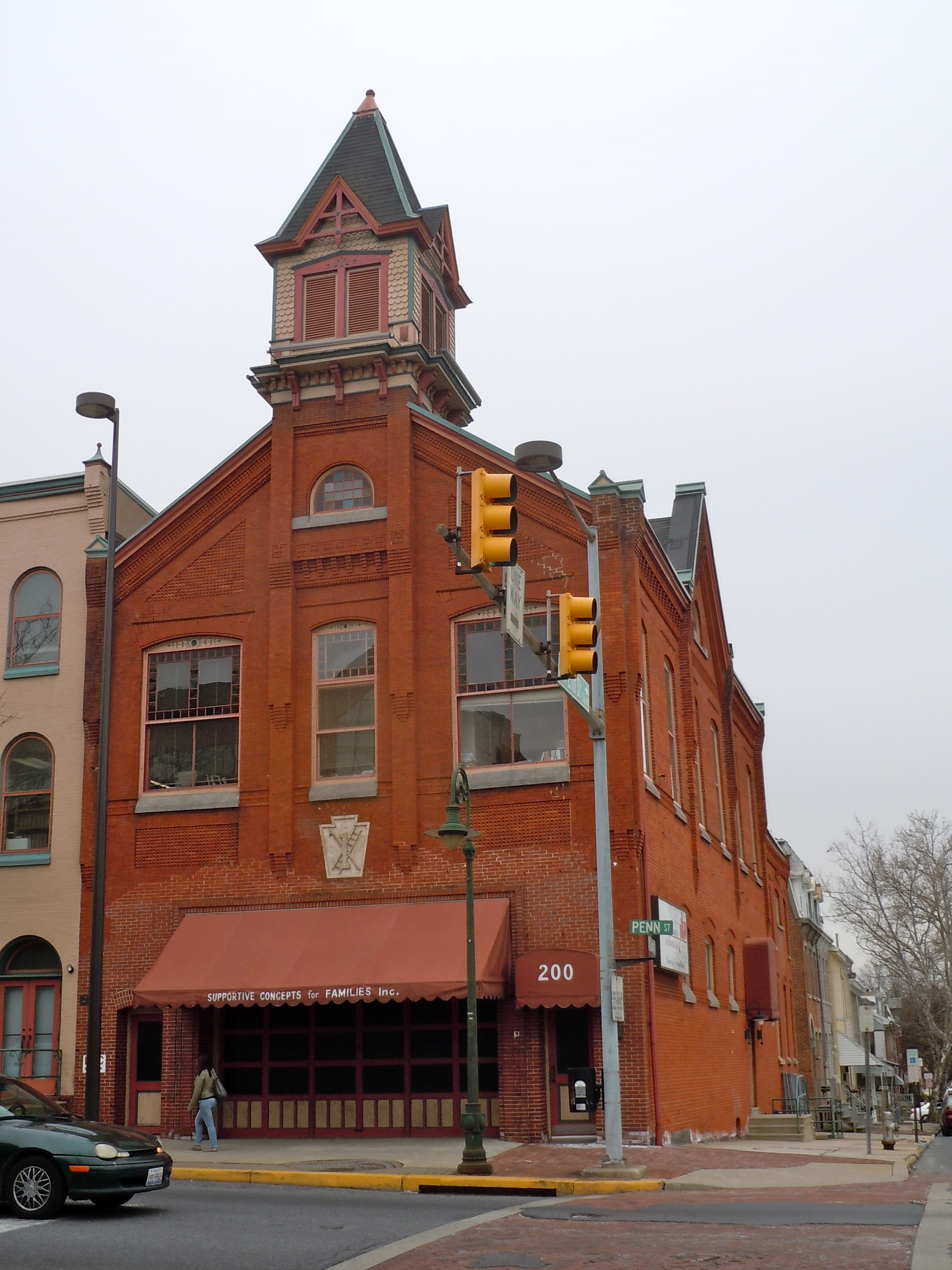
40°31′48″N 75°45′48″W / 40.53°N 75.763333°WMaxatawny Township 57 Keystone Hook and Ladder Company 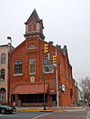
October 31, 1985 2nd and Penn Streets
40°20′06″N 75°56′01″W / 40.335°N 75.933611°WReading 58 Kissling Farm July 29, 1992 Brownsville Road east of Robesonia
40°22′03″N 76°06′05″W / 40.3675°N 76.101389°WHeidelberg Township 59 Knabb-Bieber Mill 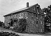
November 8, 1990 Bieber Mill Road at Monocacy Creek
40°21′33″N 75°48′38″W / 40.359167°N 75.810556°WOley Township 60 Knorr-Bare Farm 
July 29, 1992 4995 Penn Avenue
40°19′23″N 76°03′43″W / 40.323056°N 76.061944°WLower Heidelberg Township 61 Kutz Mill November 8, 1990 Kutz Mill Road at Sacony Creek
40°32′03″N 75°48′20″W / 40.534167°N 75.805556°WGreenwich Township 62 Kutz's Mill Bridge February 23, 1981 Northwest of Kutztown on Township 798
40°32′04″N 75°48′21″W / 40.534444°N 75.805833°WGreenwich Township 63 Kutztown 1892 Public School Building June 27, 1980 Whiteoak Street and Normal Avenue
40°30′47″N 75°46′34″W / 40.513056°N 75.776111°WKutztown 64 Leesport Lock House 
June 9, 1977 Wall Street
40°26′48″N 75°58′04″W / 40.446667°N 75.967778°WLeesport 65 Jacob Leiby Farm July 29, 1992 Pennsylvania Route 143
40°32′05″N 75°52′40″W / 40.534722°N 75.877778°WPerry Township 66 Lenhart Farm September 18, 1978 Junction of U.S. Route 22 and Pennsylvania Route 143
40°34′33″N 75°53′18″W / 40.575833°N 75.888333°WLenhartsville 67 Lerch Tavern 
September 12, 1979 182–184 West Penn Avenue
40°19′47″N 76°05′03″W / 40.329722°N 76.084167°WWernersville 68 Levan Farm December 19, 1978 Pennsylvania Route 562
40°19′16″N 75°51′36″W / 40.321111°N 75.86°WExeter Township 69 Liberty Fire Company No. 5 
January 18, 1985 501 South 5th Street
40°19′39″N 75°55′36″W / 40.3275°N 75.926667°WReading 70 Mordecai Lincoln House 
November 3, 1988 Lincoln Road in Lorane
40°16′53″N 75°50′02″W / 40.281389°N 75.833889°WExeter Township 71 Lindbergh Viaduct 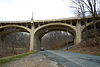
June 22, 1988 U.S. Route 422/Mineral Spring Road over Mineral Spring Creek
40°19′52″N 75°54′00″W / 40.331111°N 75.9°WReading 72 Livingood House-Stryker Hospital 
November 7, 1996 417–419 Walnut Street
40°20′14″N 75°55′45″W / 40.337222°N 75.929167°WReading 73 Log House, Hiester House and Market Annex 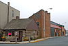
November 20, 1979 30 South 4th Street
40°20′03″N 75°55′49″W / 40.334167°N 75.930278°WReading 74 Long-Hawerter Mill November 8, 1990 Longsdale Road at Little Lehigh Creek
40°29′21″N 75°39′50″W / 40.489167°N 75.663889°WLongswamp Township 75 John F. Lutz Furniture Co. & Funerary February 16, 1996 3559 and 3561 St. Lawrence Avenue
40°19′33″N 75°51′51″W / 40.325833°N 75.864167°WSt. Lawrence 76 Mary Ann Furnace Historic District September 6, 1991 Centennial Road southeast of Longswamp
40°29′05″N 75°38′54″W / 40.484722°N 75.648333°WLongswamp Township 77 Meinig Glove Factory-E. Richard Meinig Co. 
August 30, 1985 621–641 McKnight Street
40°20′44″N 75°56′13″W / 40.345556°N 75.936944°WReading 78 Merit Underwear Company June 28, 1996 43 East Noble Avenue
40°30′06″N 75°58′06″W / 40.501667°N 75.968333°WShoemakersville 79 Merkel Mill November 8, 1990 Dreibelbis Station Road at Maiden Creek
40°34′13″N 75°52′49″W / 40.570278°N 75.880278°WGreenwich Township 80 Merkel Mill Complex November 8, 1990 Junction of Pennsylvania Routes 662 and 143 near Moselem Springs
40°30′02″N 75°51′03″W / 40.500556°N 75.850833°WRichmond Township 81 Metropolitan Edison Building 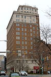
October 28, 1983 412 Washington Street
40°20′11″N 75°55′46″W / 40.336389°N 75.929444°WReading 82 Mill at Lobachsville November 8, 1990 Mill Road at Pine Creek
40°24′43″N 75°43′51″W / 40.411944°N 75.730833°WPike Township 83 Mill Tract Farm September 22, 1977 Northeast of Stonersville on Mill Road
40°19′30″N 75°47′26″W / 40.325°N 75.790556°WExeter Township 84 Morgantown Historic District 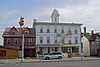
November 7, 1995 Roughly the area surrounding Main Street between Walnut and Washington Streets in Morgantown
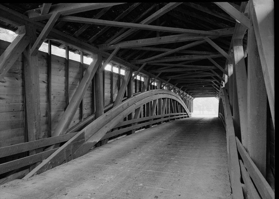
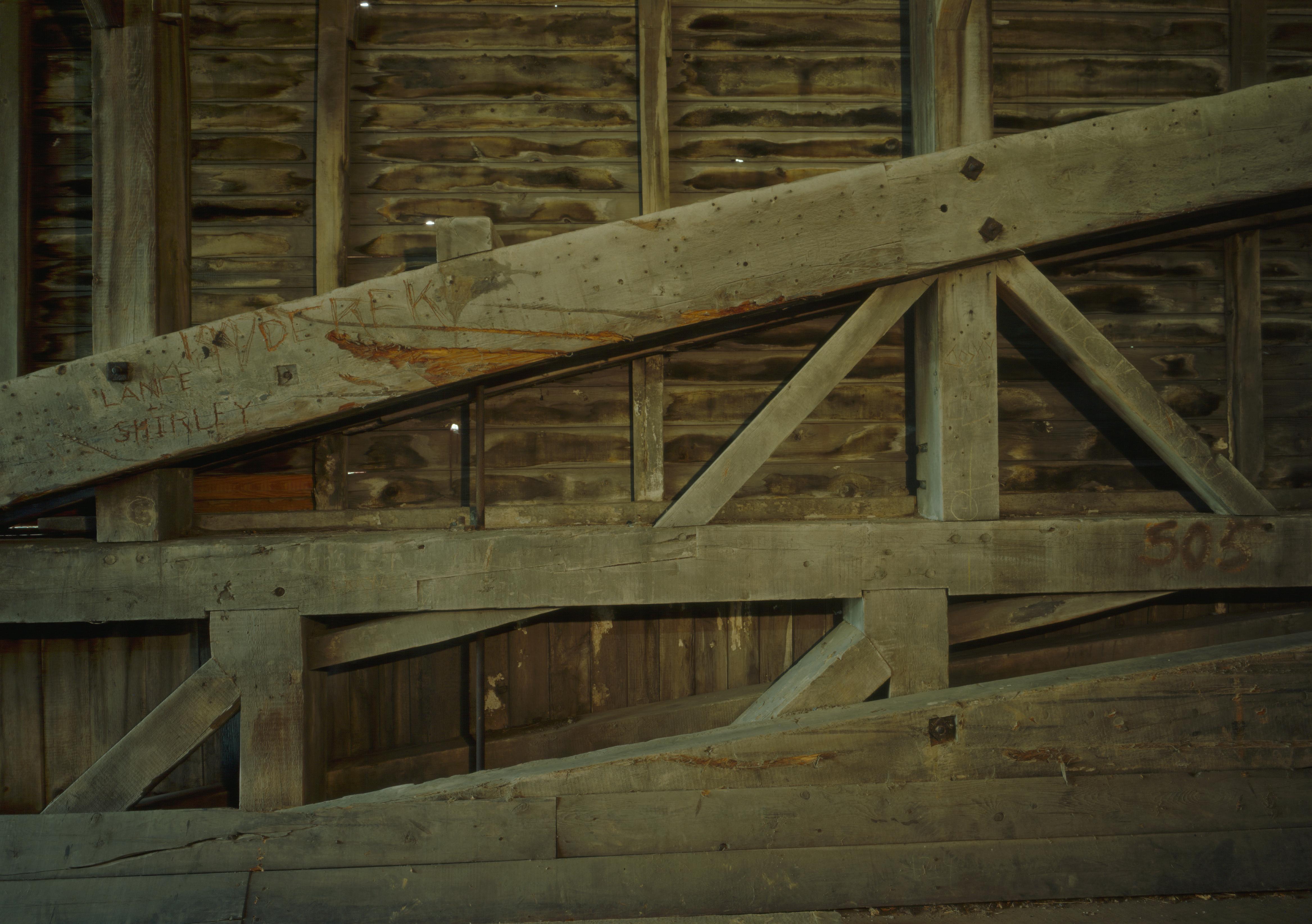
40°09′20″N 75°53′25″W / 40.155556°N 75.890278°WCaernarvon Township 85 Moselem Farms Mill November 8, 1990 Junction of Pennsylvania Route 662 and Forge Road
40°30′08″N 75°52′47″W / 40.502222°N 75.879722°WRichmond Township 86 John Nicholas and Elizabeth Moyer House May 2, 2001 152 Hetrick Road
40°25′29″N 76°10′34″W / 40.424722°N 76.176111°WJefferson Township 87 Old Dry Road January 23, 1978 3 miles (4.8 km) northwest of Wernersville on Highland Road
40°22′26″N 76°03′30″W / 40.373889°N 76.058333°WLower Heidelberg Township 88 Old Swede's House 
January 21, 1974 Old Philadelphia Pike in Douglassville
40°15′12″N 75°43′42″W / 40.253333°N 75.728333°WAmity Township 89 Oley Township Historic District 
March 11, 1983 Pennsylvania Route 73
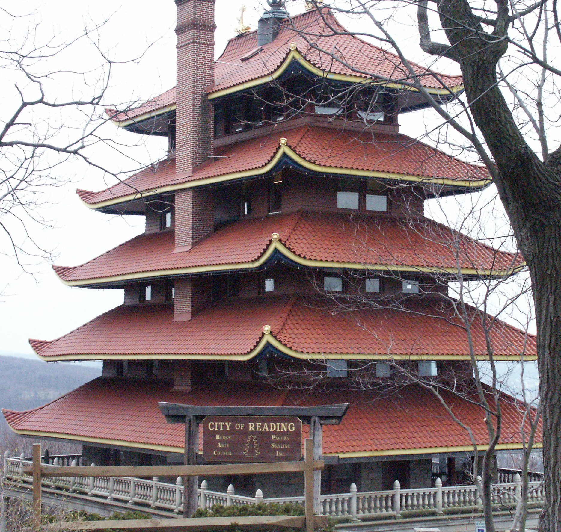
40°22′07″N 75°46′17″W / 40.368611°N 75.771389°WOley Township Includes the entire township 90 Pagoda 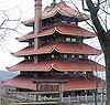
November 7, 1972 Mount Penn, at the junction of Duryea Drive and Skyline Boulevard
40°20′09″N 75°54′22″W / 40.335833°N 75.906111°WReading 91 Pine Forge Mansion and Industrial Site March 18, 2004 Pine Forge Road and Douglass Drive, Pine Forge
40°17′02″N 75°42′19″W / 40.283889°N 75.705278°WDouglass Township 92 Pleasantville Bridge 
February 23, 1981 South of Mantawny on Township 916
40°22′44″N 75°44′21″W / 40.378889°N 75.739167°WOley Township 93 Queen Anne Historic District 
November 12, 2004 Roughly bounded by Robeson Street, North 3rd Street, railroad tracks, and Clinton Street
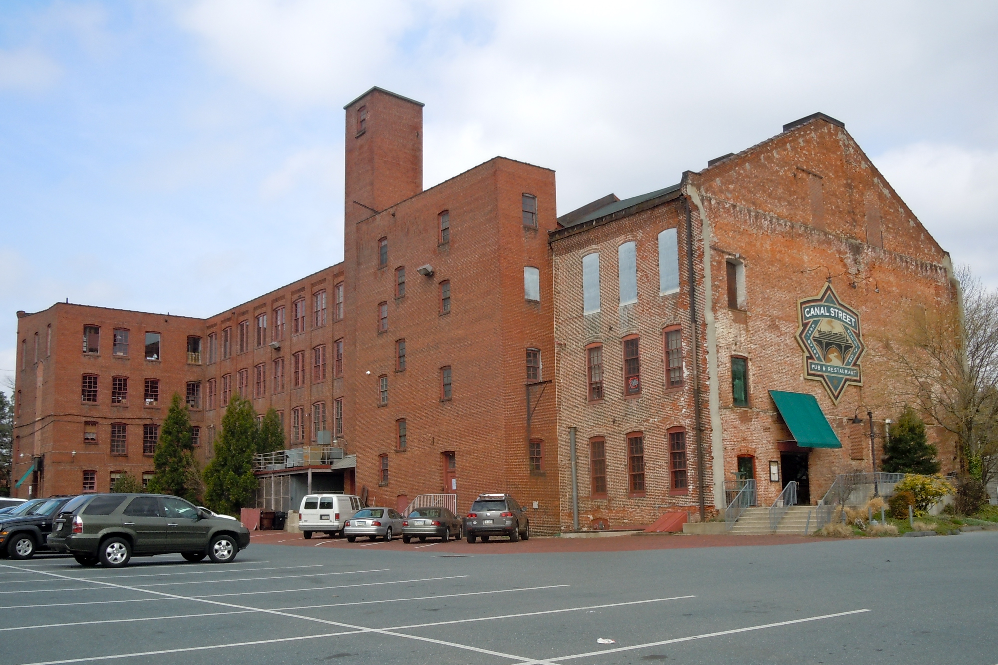
40°20′55″N 75°56′13″W / 40.348611°N 75.936944°WReading 94 Reading Hardware Company 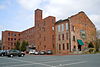
June 13, 1997 Roughly bounded by Willow, South 6th, and Canal Streets, and alleyway
40°19′32″N 75°55′38″W / 40.325556°N 75.927222°WReading 95 Reading Hardware Company Butt Works 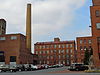
November 20, 1979 537 Willow Street
40°19′29″N 75°55′33″W / 40.324722°N 75.925833°WReading 96 Reading Knitting Mills 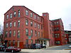
April 13, 1982 350 Elm Street
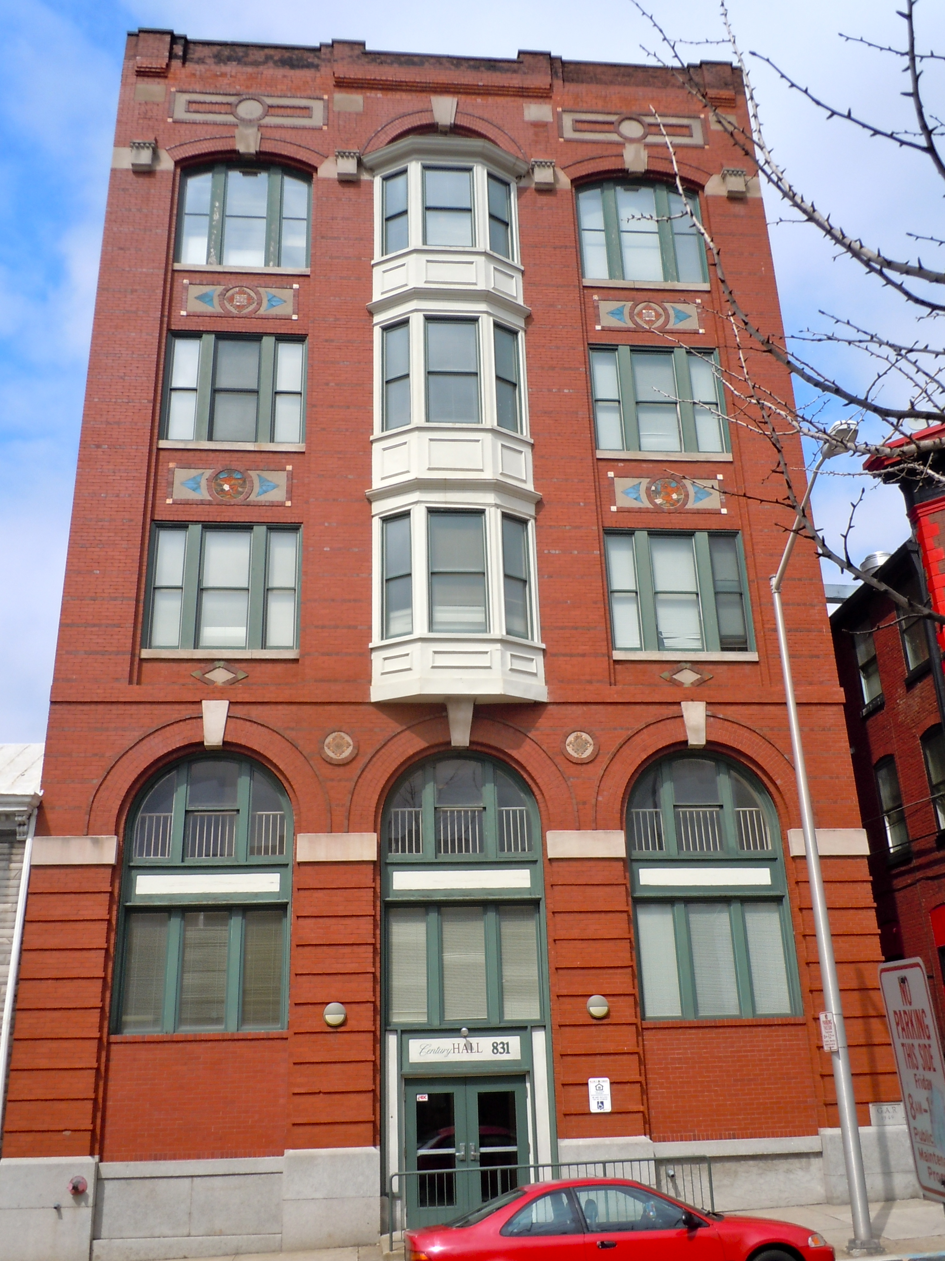
40°20′23″N 75°55′49″W / 40.339722°N 75.930278°WReading 97 Red Men Hall 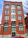
July 27, 2000 831–833 Walnut Street
40°20′21″N 75°55′21″W / 40.339167°N 75.9225°WReading Now known as Century Hall Apartments. 98 Reiff Farm February 25, 1982 Southwest of Oley on Township 454
40°22′55″N 75°48′30″W / 40.381944°N 75.808333°WOley Township 99 Rhoads-Lorah House and Barn March 29, 2007 1832 Old Swede Road
40°19′03″N 75°45′14″W / 40.3175°N 75.753889°WAmity Township 100 Ridgewood Farm May 7, 1992 Junction of Pennsylvania Route 724 and Interstate 176
40°17′43″N 75°53′50″W / 40.295278°N 75.897222°WCumru Township 101 Rieser Mill November 8, 1990 Junction of Grange and Cross Keys Roads
40°16′11″N 75°58′28″W / 40.269722°N 75.974444°WBern Township 102 Rieser-Shoemaker Farm July 29, 1992 Cross Keys Road
40°25′51″N 75°58′25″W / 40.430833°N 75.973611°WBern Township 103 Robesonia Furnace Historic District 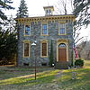
September 6, 1991 Furnace, South Church and Freeman Streets and Mountain and East Meadow Avenues
40°20′34″N 76°08′26″W / 40.342778°N 76.140556°WRobesonia 104 S Bridge June 22, 1988 Legislative Route 06024 over Tulpehocken Creek west of Womelsdorf
40°22′25″N 76°13′07″W / 40.373611°N 76.218611°WMarion Township 105 Old St. Gabriel's Episcopal Church 
March 8, 1978 U.S. Route 422 in Douglassville
40°15′26″N 75°43′45″W / 40.257222°N 75.729167°WAmity Township 106 St. Michael's Protestant Episcopal Church, Parish House and Rectory 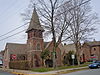
December 20, 1982 Mill and Church Streets
40°15′54″N 75°48′26″W / 40.265°N 75.807222°WBirdsboro 107 Sally Ann Furnace Complex August 17, 1976 Southwest of Topton
40°28′19″N 75°43′22″W / 40.471944°N 75.722778°WRockland Township 108 Schaumboch's Tavern November 20, 1979 Northwest of Hamburg on Hawk Mountain Road
40°38′00″N 75°58′52″W / 40.633333°N 75.981111°WAlbany Township 109 Christian Schlegel Farm July 29, 1992 Fleetwood–Lyons Road
40°27′32″N 75°49′19″W / 40.458889°N 75.821944°WRichmond Township 110 Seyfert Mill November 8, 1990 Junction of Old U.S. Route 22 and Campsite Road
40°30′35″N 76°07′34″W / 40.509722°N 76.126111°WUpper Tulpehocken Township 111 Siegfried's Dale Farm May 10, 1984 Siegfried's Road
40°32′58″N 75°43′23″W / 40.549444°N 75.723056°WMaxatawny Township 112 Snyder Mill November 8, 1990 Oley Line Road at Monocacy Creek
40°20′12″N 75°48′18″W / 40.336667°N 75.805°WExeter Township 113 Spannuth Mill November 8, 1990 Junction of Frystown and Crosskill Creek Roads
40°26′51″N 76°21′17″W / 40.4475°N 76.354722°WBethel Township 114 Peter Spicker House April 22, 1983 150 Main Street in Stouchsburg
40°22′52″N 76°14′13″W / 40.381111°N 76.236944°WMarion Township 115 Stein Mill November 8, 1990 Pennsylvania Route 737 at Mill Creek
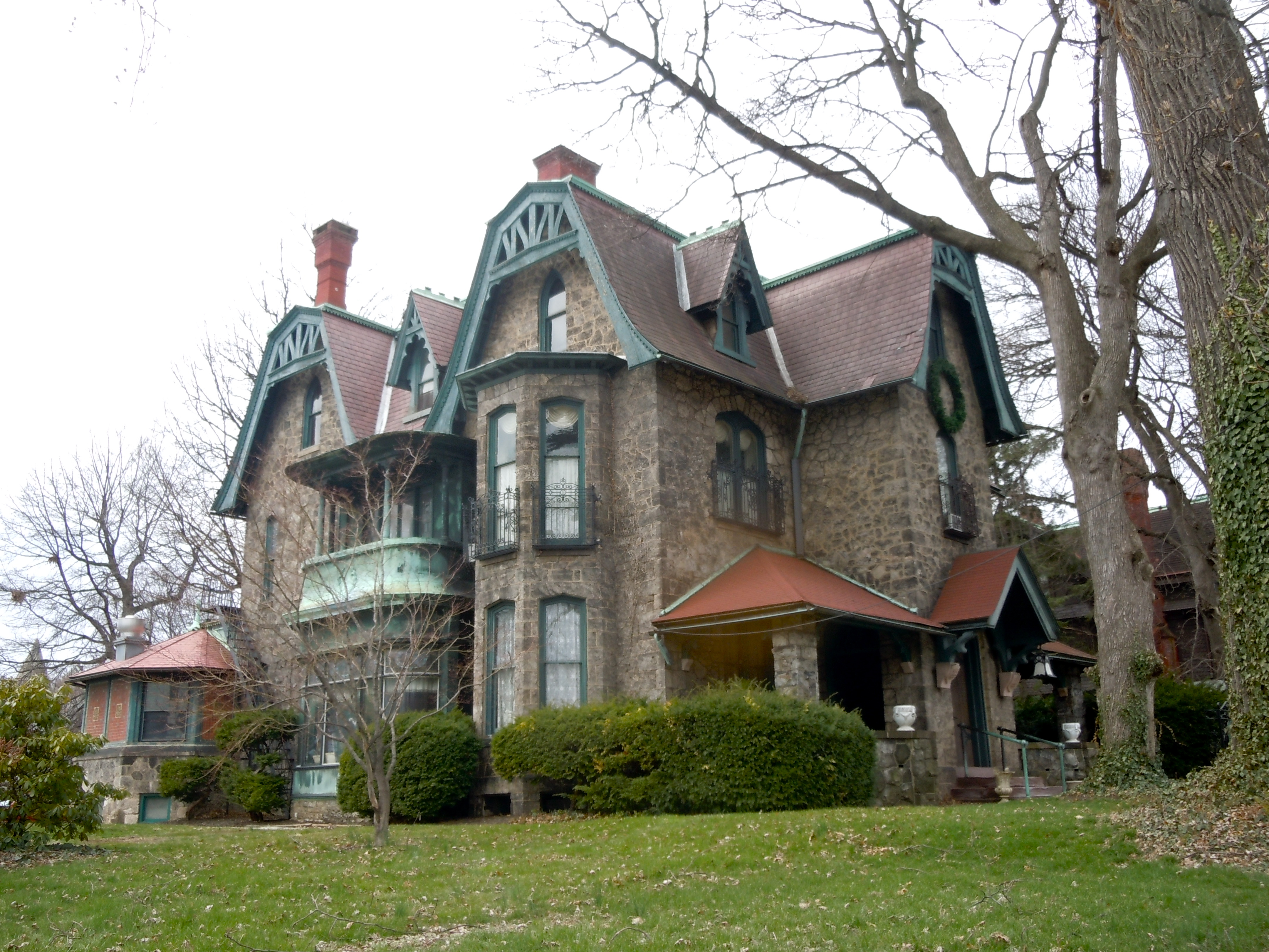
40°33′11″N 75°48′12″W / 40.553056°N 75.803333°WGreenwich Township 116 Stirling 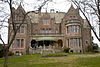
April 17, 1980 1120 Centre Avenue
40°21′09″N 75°56′03″W / 40.3525°N 75.934167°WReading 117 Stouchsburg Historic District January 8, 1985 12 to 153 Main Street and Water Street in Stouchsburg
40°22′46″N 76°13′52″W / 40.379444°N 76.231111°WMarion Township 118 Stupp-Oxenrider Farm July 29, 1992 Dundore Road northwest of Robesonia
40°22′56″N 76°09′27″W / 40.382222°N 76.1575°WNorth Heidelberg Township 119 Thompson Mill November 8, 1990 Golf Course Road at Seidel Creek
40°16′38″N 75°51′48″W / 40.277222°N 75.863333°WRobeson Township 120 Trexler Historic District September 7, 2001 375–424 Old Philadelphia Pike
40°38′09″N 75°51′12″W / 40.635833°N 75.853333°WAlbany Township 121 Trinity Lutheran Church 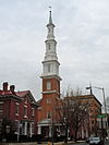
June 7, 1976 6th and Washington Streets
40°20′13″N 75°55′35″W / 40.336944°N 75.926389°WReading 122 Tulpehocken Creek Historic District March 28, 1985 Tulpehocken and Mill Creeks from the Berks–Lebanon county line to the Blue Marsh Dam between Millardsville and Bernville
40°23′13″N 76°11′21″W / 40.386944°N 76.189167°WMarion, North Heidelberg, and Lower Heidelberg Townships 123 Virginville Historic District September 28, 2000 Main, 2nd, 1st, and Front Streets and Chapel Drive in Virginville
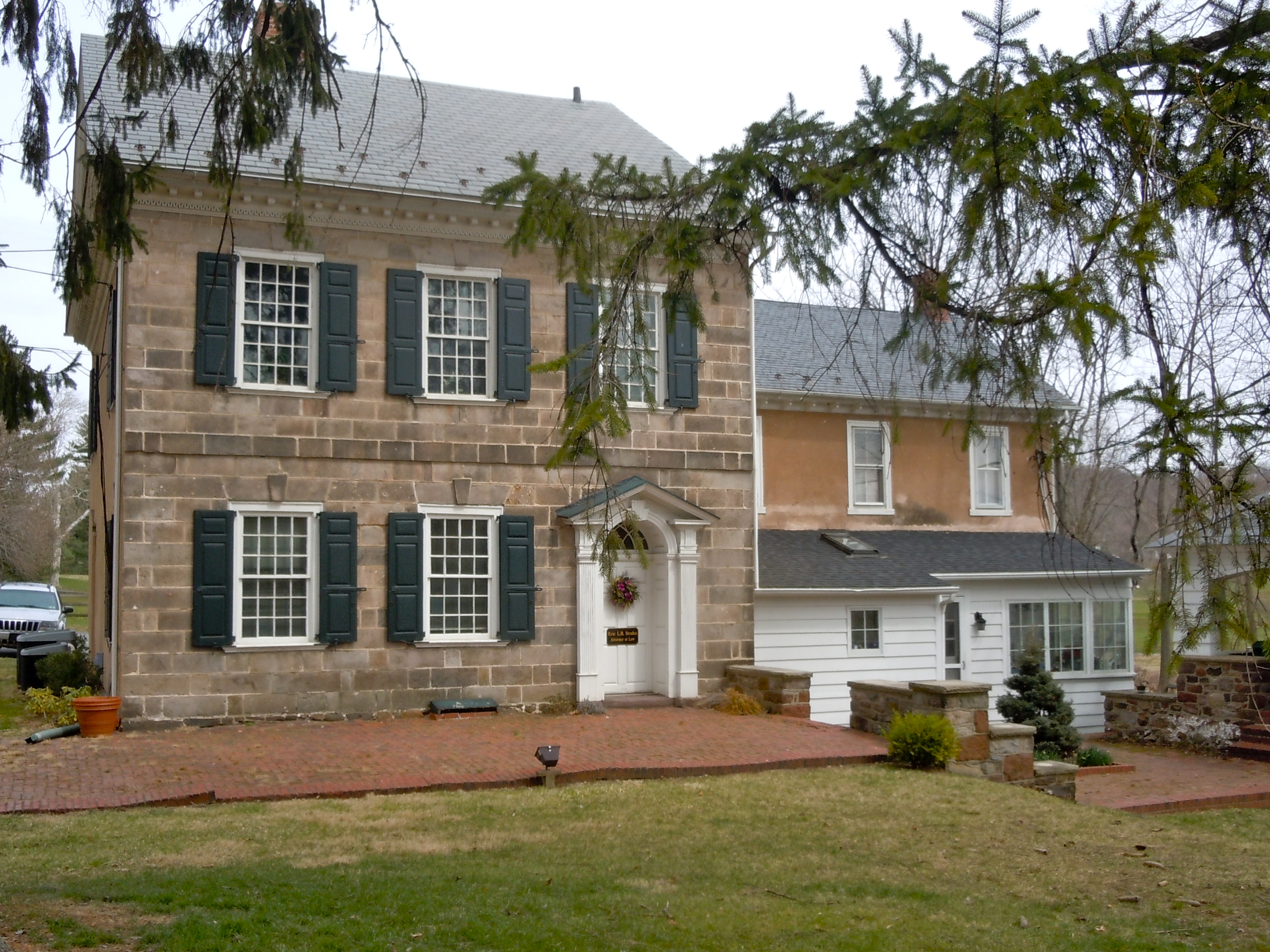
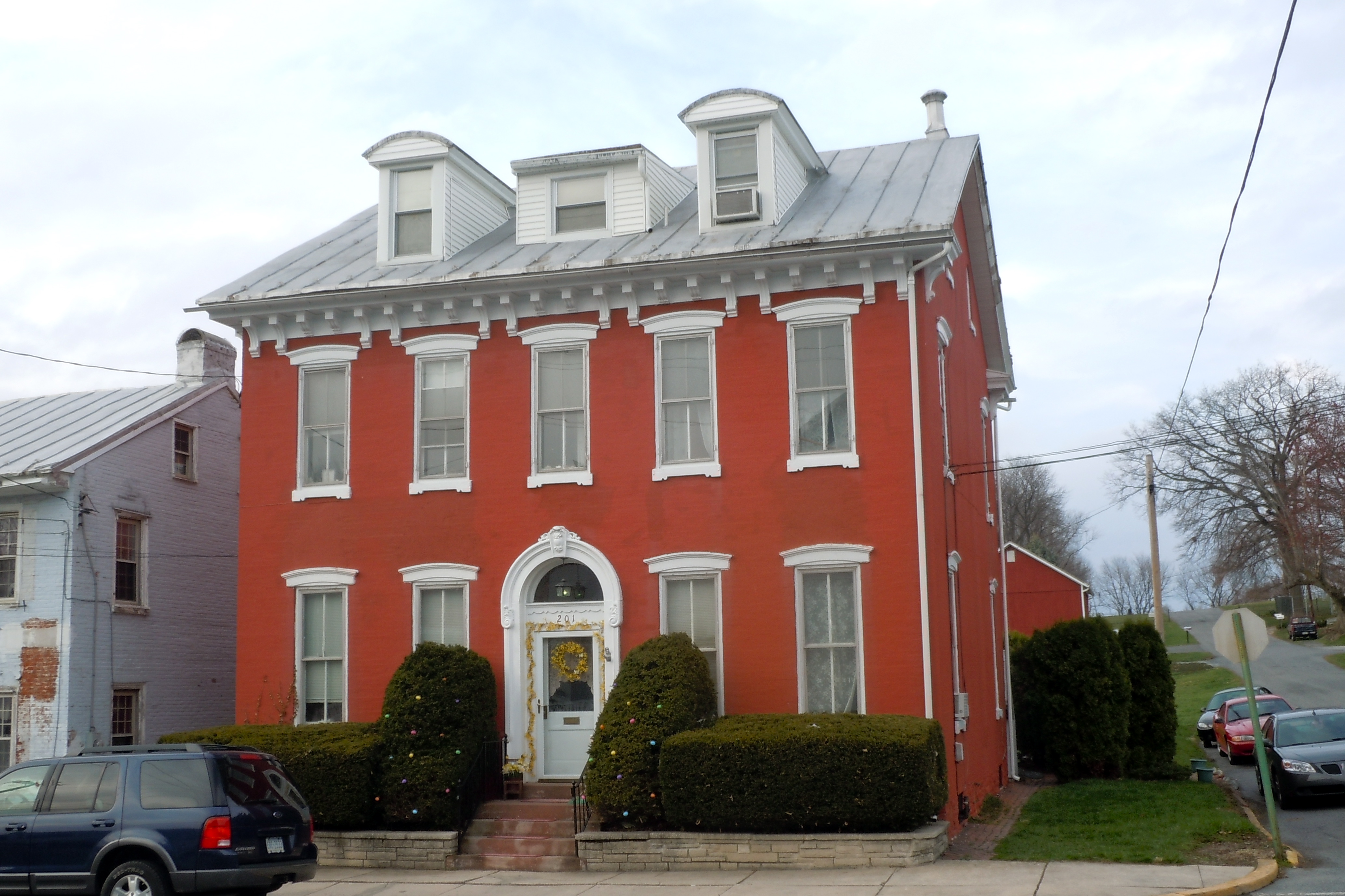
40°31′24″N 75°52′14″W / 40.523333°N 75.870556°WRichmond Township 124 Peter Wanner Mansion 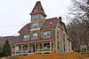
November 5, 1987 1401 Walnut Street
40°20′18″N 75°54′27″W / 40.338333°N 75.9075°WReading 125 Weidner Mill November 8, 1990 Blacksmith Road at Manatawny Creek
40°18′18″N 75°43′37″W / 40.305°N 75.726944°WAmity Township 126 Conrad Weiser House 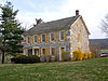
October 15, 1966 2 miles (3.2 km) east of Womelsdorf
40°21′33″N 76°10′26″W / 40.359167°N 76.173889°WHeidelberg Township 127 Wertz Mill 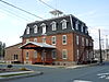
November 8, 1990 60 Werner Street
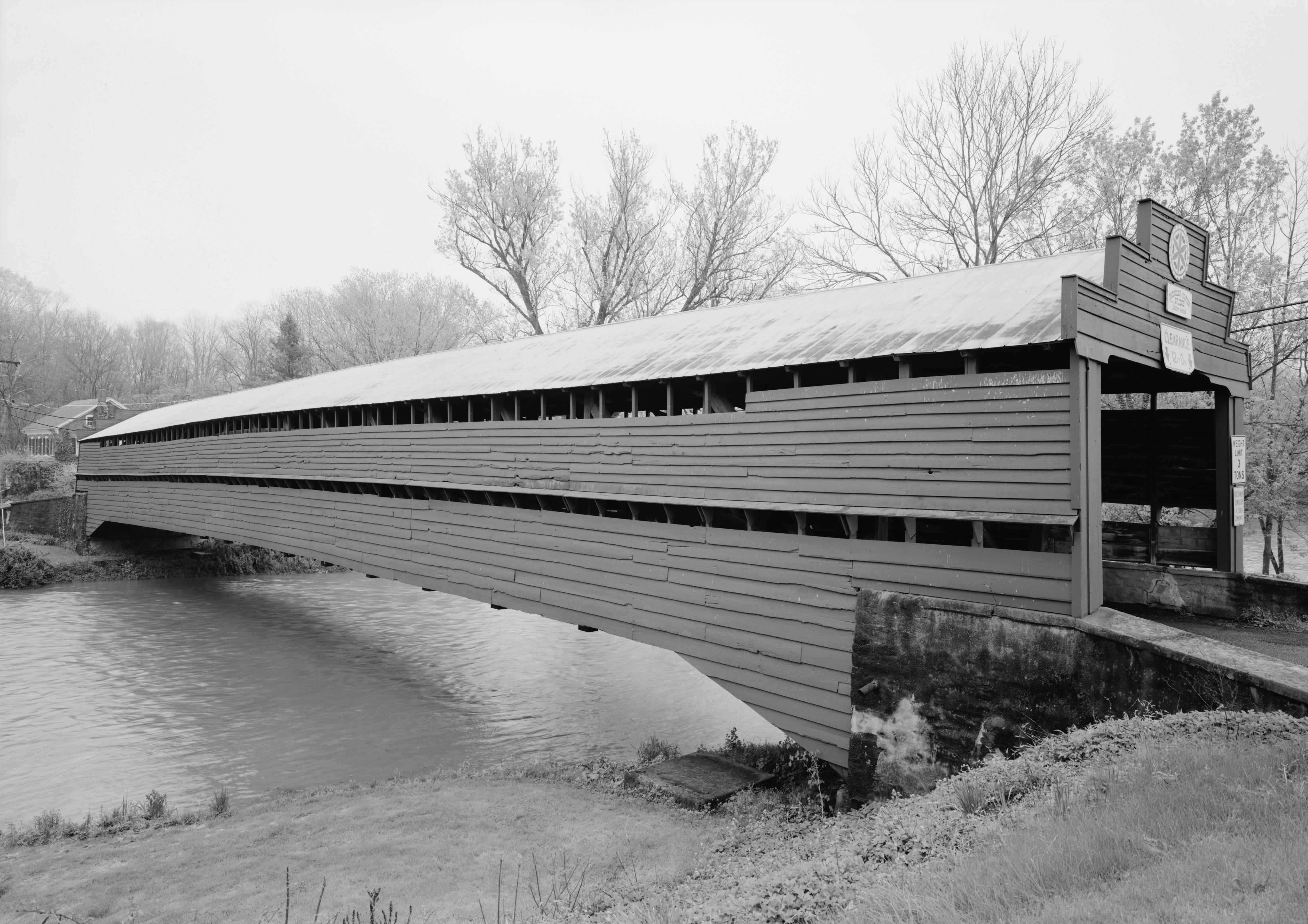
40°19′41″N 76°04′47″W / 40.328056°N 76.079722°WWernersville 128 Wertz's Covered Bridge November 17, 1978 Northwest of Reading on Township 921
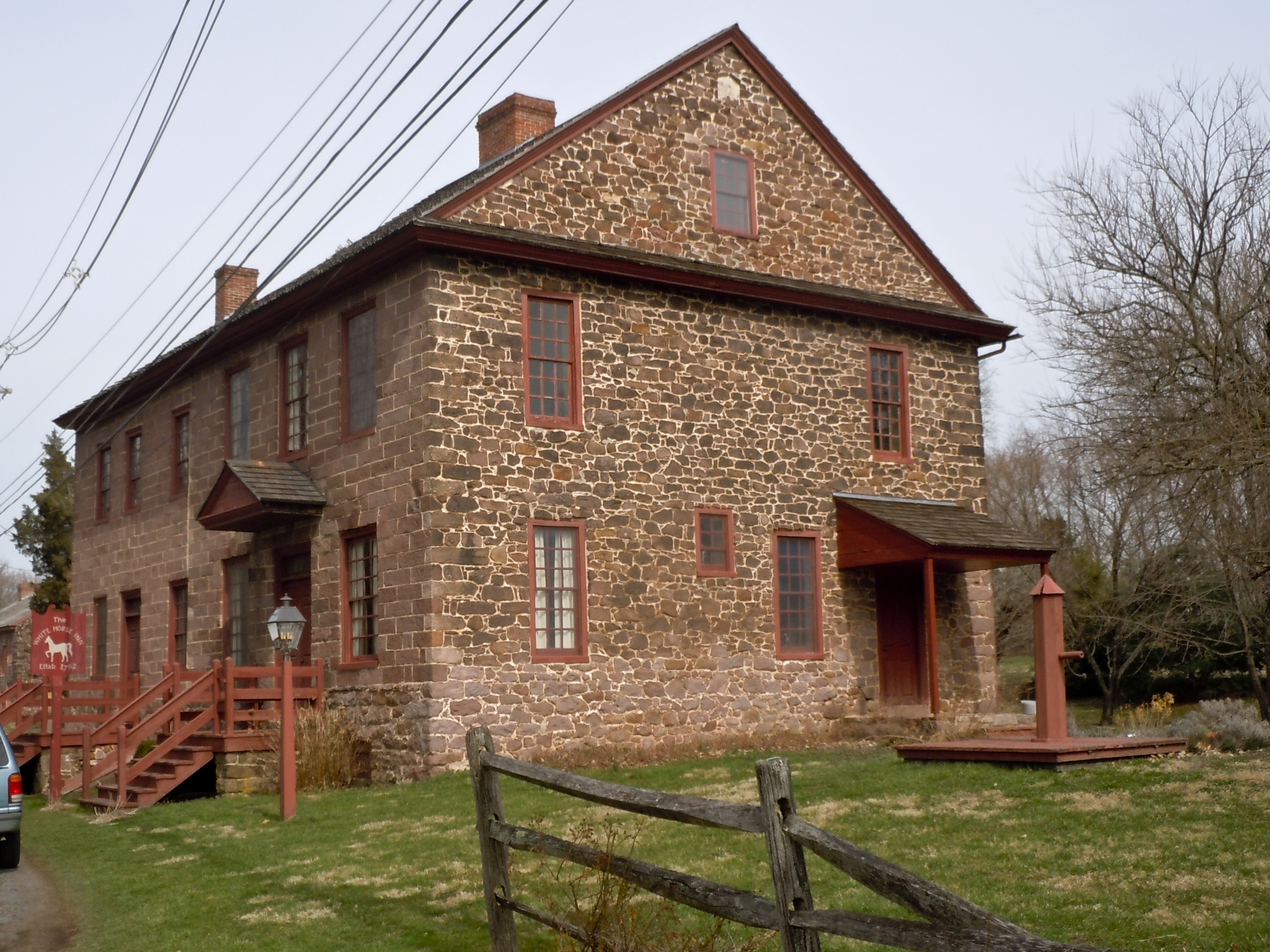
40°22′07″N 75°58′44″W / 40.368611°N 75.978889°WBern and Spring Townships 129 White Horse Tavern 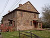
April 21, 1975 509 Old Philadelphia Pike in Douglassville
40°15′13″N 75°43′31″W / 40.253611°N 75.725278°WAmity Township 130 Wilhelm Mansion and Carriage House 
March 1, 1982 730 Centre Avenue
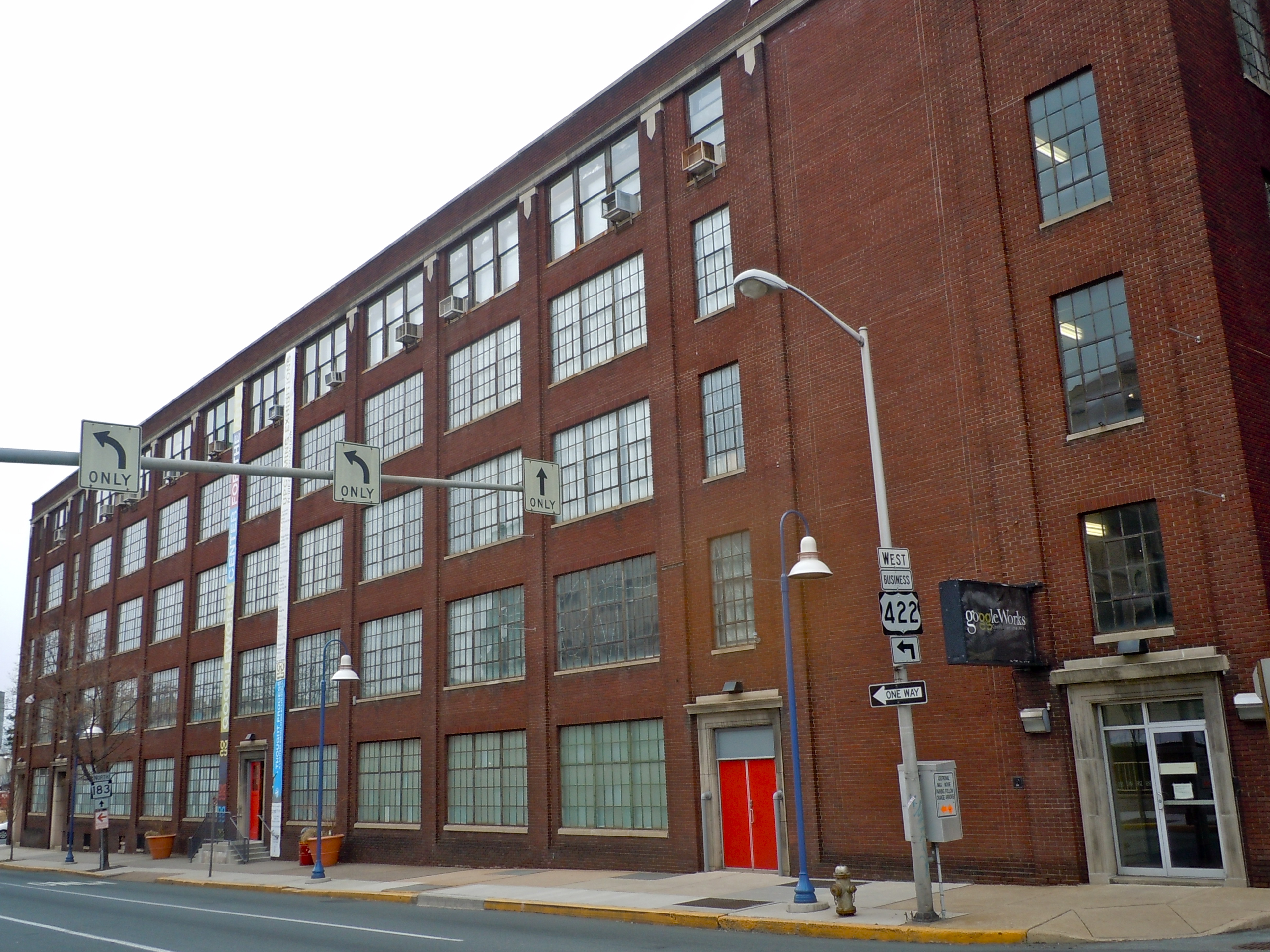
40°20′47″N 75°55′52″W / 40.346389°N 75.931111°WReading 131 Thomas A. Willson and Co. 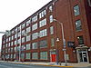
May 24, 2006 201 Washington Street
40°20′20″N 75°56′09″W / 40.338889°N 75.935833°WReading 132 Womelsdorf Historic District 
March 10, 1982 Roughly bounded by Water, 4th, Franklin and Jefferson Streets
40°21′47″N 76°11′13″W / 40.363056°N 76.186944°WWomelsdorf 133 Yoder Mill November 8, 1990 Yoder Road at Oysterville Creek
40°23′48″N 75°43′14″W / 40.396667°N 75.720556°WPike Township See also
- List of National Historic Landmarks in Pennsylvania
- National Register of Historic Places listings in Pennsylvania
- List of Pennsylvania state historical markers in Berks County
References
- ^ The latitude and longitude information provided in this table was derived originally from the National Register Information System, which has been found to be fairly accurate for about 99% of listings. For about 1% of NRIS original coordinates, experience has shown that one or both coordinates are typos or otherwise extremely far off; some corrections may have been made. A more subtle problem causes many locations to be off by up to 150 yards, depending on location in the country: most NRIS coordinates were derived from tracing out latitude and longitudes off of USGS topographical quadrant maps created under North American Datum of 1927, which differs from the current, highly accurate GPS system used by Google maps. Chicago is about right, but NRIS longitudes in Washington are higher by about 4.5 seconds, and are lower by about 2.0 seconds in Maine. Latitudes differ by about 1.0 second in Florida. Some locations in this table may have been corrected to current GPS standards.
- ^ "National Register of Historic Places: Weekly List Actions". National Park Service, United States Department of the Interior. Retrieved on November 10, 2011.
- ^ Numbers represent an ordering by significant words. Various colorings, defined here, differentiate National Historic Landmark sites and National Register of Historic Places Districts from other NRHP buildings, structures, sites or objects.
Municipalities and communities of Berks County, Pennsylvania City 
Boroughs Adamstown‡ | Bally | Bechtelsville | Bernville | Birdsboro | Boyertown | Centerport | Fleetwood | Hamburg | Kenhorst | Kutztown | Laureldale | Leesport | Lenhartsville | Lyons | Mohnton | Mount Penn | New Morgan | Robesonia | St. Lawrence | Shillington | Shoemakersville | Sinking Spring | Strausstown | Topton | Wernersville | West Reading | Womelsdorf | Wyomissing
Townships Albany | Alsace | Amity | Bern | Bethel | Brecknock | Caernarvon | Centre | Colebrookdale | Cumru | District | Douglass | Earl | Exeter | Greenwich | Heidelberg | Hereford | Jefferson | Longswamp | Lower Alsace | Lower Heidelberg | Maidencreek | Marion | Maxatawny | Muhlenberg | North Heidelberg | Oley | Ontelaunee | Penn | Perry | Pike | Richmond | Robeson | Rockland | Ruscombmanor | South Heidelberg | Spring | Tilden | Tulpehocken | Union | Upper Bern | Upper Tulpehocken | Washington | Windsor
CDPs Unincorporated
communitiesAlbany | Alleghenyville | Alsace Manor | Amityville | Barto | Basket | Baumstown | Beckersville | Berne | Bethel | Blandon | Bowers | Boyers Junction | Breezy Corner | Brownsville | Chapel‡ | Clayton | Dale | Dauberville | Douglassville | Dreibelbis | Dryville | Eckville | Edenburg | Eshbach | Evansville | Five Points | Fredericksville | Fritztown | Frystown | Geigertown | Gibraltar | Gouglersville | Greenawald | Grill | Grimville | Hancock | Harlem | Henningsville | Hereford | Hinterleiter | Host | Huffs Church | Hyde Park | Jacksonwald | Jalappa | Joanna | Joanna Heights | Kempton | Kempville | Kirbyville | Klinesville | Knauers | Krumsville | Kulptown | Landis Store | Leinbachs | Limekiln | Lincoln Park | Lobachsville | Longswamp | Manatawny | Maple Grove | Maxatawny | Mertztown | Mohrsville | Molltown | Montello | Monterey | Morgantown | Morysville | Moselem | Moselem Springs | Mount Aetna | New Hensingersville‡ | New Jerusalem | North Heidelberg | Pine Waters | Pleasant Valley | Pleasantville | Plowville | Pricetown | Quaker City | Rehrersburg | Rittenhouse Gap | Sally Ann | Scarlets Mill | Seisholtzville | Shartlesville | South Temple | State Hill | Stony Run | Stouchsburg | Temple | Trexler | Unionville | Vinemont | Virginville | Walnuttown | Weavertown | West Hamburg | West Lawn | Windsor Castle | Wintersville | Woodchoppertown | Wyomissing Hills | Yellow House
Footnotes ‡This populated place also has portions in an adjacent county or counties
Categories:- Berks County, Pennsylvania
- National Register of Historic Places in Pennsylvania by county
-


Wikimedia Foundation. 2010.