- National Register of Historic Places listings in Delaware County, Pennsylvania
-
 Location of Delaware County in Pennsylvania
This is a list of the National Register of Historic Places listings in Delaware County, Pennsylvania.
This is intended to be a complete list of the properties and districts on the National Register of Historic Places in Delaware County, Pennsylvania, United States. The locations of National Register properties and districts for which the latitude and longitude coordinates are included below, may be seen in a Google map.[1]
There are 87 properties and districts listed on the National Register in the county. Five sites are further designated as National Historic Landmarks.
-
- This National Park Service list is complete through NPS recent listings posted November 10, 2011.[2]
Current listings
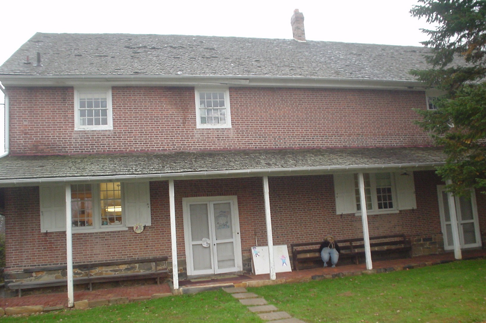
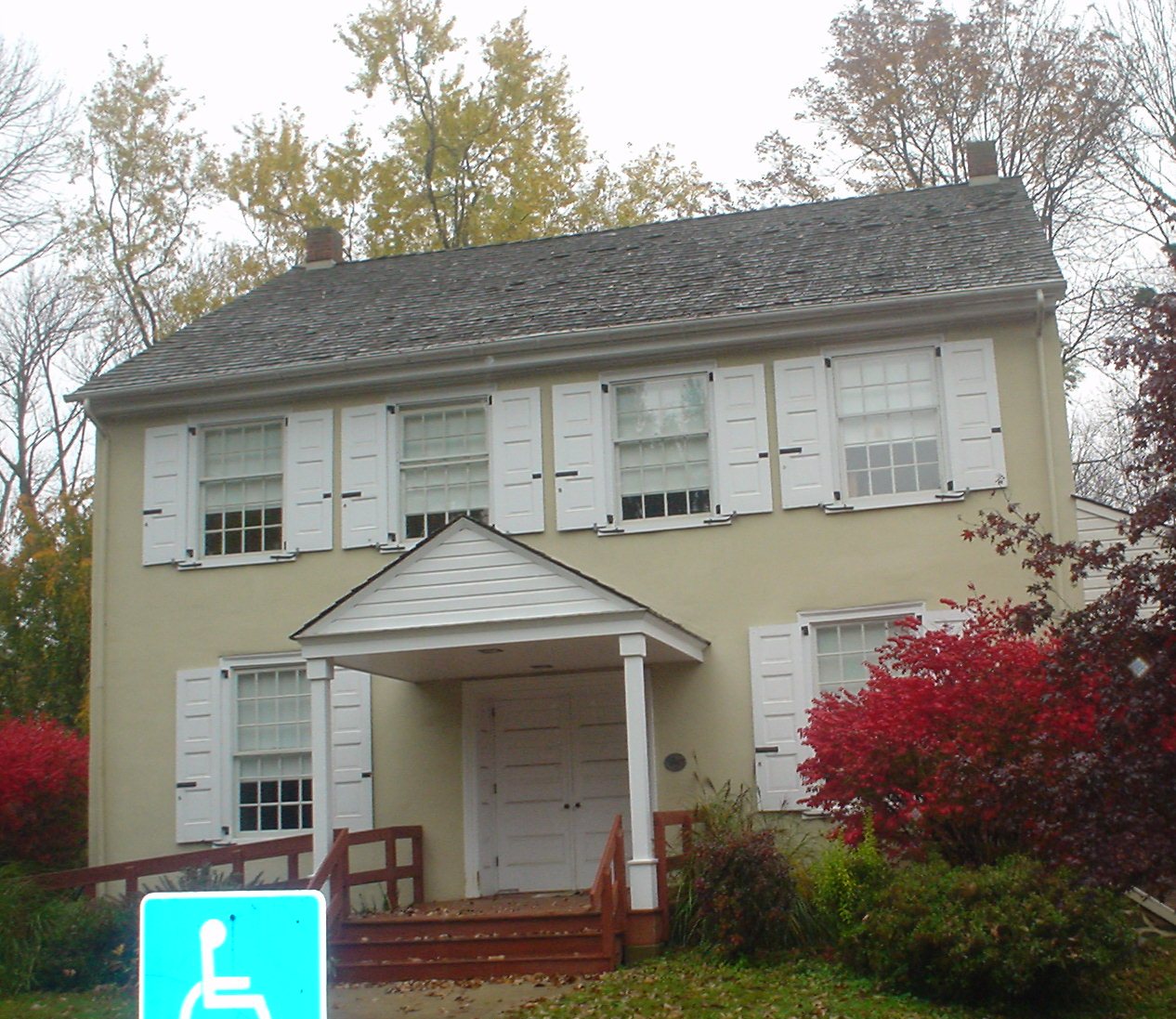
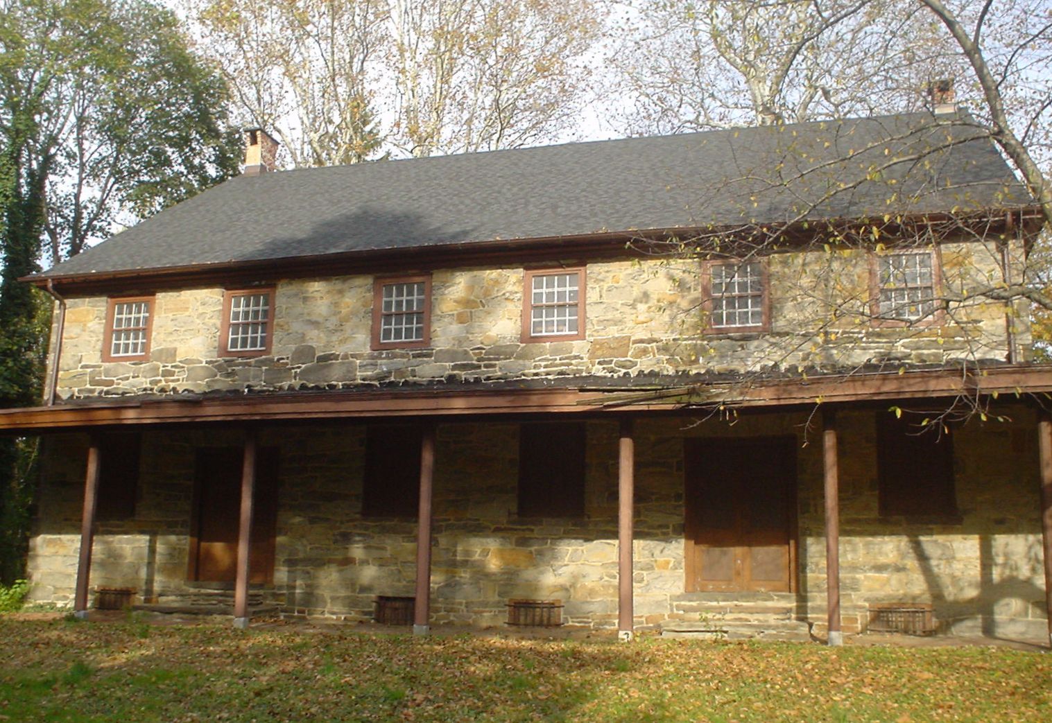
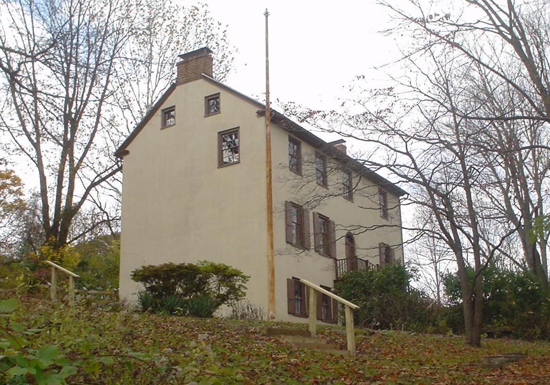
[3] Landmark name Image Date listed Location City or town Summary 1 1724 Chester Courthouse 
May 27, 1971 Market Street below 5th Street
39°50′57″N 75°21′36″W / 39.849167°N 75.36°WChester 2 Henry Albertson Subdivision Historic District 
January 30, 1998 Roughly bounded by North Lansdowne, Clover, Wycombe, Price, and Stewart Avenues, and Balfour Cir.
39°56′34″N 75°16′21″W / 39.942778°N 75.2725°WLansdowne 3 Allgates 
May 15, 1979 Coopertown Road
39°59′54″N 75°19′36″W / 39.998333°N 75.326667°WHaverford Wilson Eyre, architect (1910, expanded 1917). 4 Bartram's Covered Bridge 
December 10, 1980 West of Newtown on Legislative Route 15098
39°59′23″N 75°26′15″W / 39.989722°N 75.4375°WNewtown Township Extends into Willistown Township in Chester County 5 Booth Farm 
June 13, 2003 3221 Foulk Road
39°51′15″N 75°29′24″W / 39.854167°N 75.49°WBoothwyn 6 Brandywine Battlefield 
October 15, 1966 Brandywine Battlefield Park
39°53′17″N 75°35′37″W / 39.888056°N 75.593611°WChadds Ford Township 7 Brandywine Summit Camp Meeting 
February 24, 1995 119 Beaver Valley Road, Concord Township
39°51′04″N 75°32′50″W / 39.851111°N 75.547222°WChadds Ford Township 8 Bridge in Radnor Township No. 1 
June 22, 1988 Goshen Road over Darby Creek
40°00′13″N 75°22′19″W / 40.003611°N 75.371944°WBroomall 9 Bridge in Radnor Township No. 2 
June 22, 1988 Bryn Mawr Avenue over Meadow Brook Creek
40°00′41″N 75°20′39″W / 40.011389°N 75.344167°WVillanova 10 Camp-Woods September 1, 1983 745 Newtown Road
40°01′15″N 75°22′30″W / 40.020833°N 75.375°WVillanova 11 Chad House 
March 11, 1971 Pennsylvania Route 100
39°52′29″N 75°35′31″W / 39.874722°N 75.591944°WChadds Ford Township 12 Chadds Ford Historic District 
November 23, 1971 Junction of U.S. Route 1 and Pennsylvania Route 100
39°52′17″N 75°35′31″W / 39.871389°N 75.591944°WChadds Ford Township 13 Chamberlain-Pennell House 
December 27, 1977 West of Media off U.S. Route 1 at Valley Brook Road
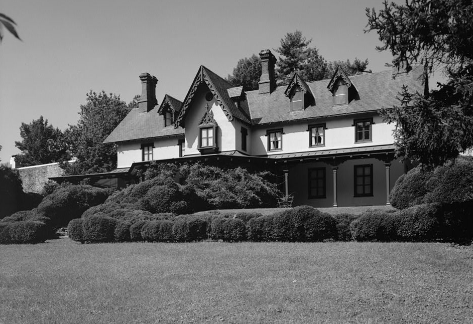
39°53′52″N 75°28′47″W / 39.897778°N 75.479722°WChester Heights 14 Chanticleer 
July 24, 1984 786 Church Road
40°1′49.8″N 75°23′11.6″W / 40.0305°N 75.386556°W[4]Wayne 15 Chester Creek Historic District 
March 24, 1972 North, east, and south of Glen Mills along the western branch of Chester Creek
39°55′23″N 75°29′27″W / 39.923056°N 75.490833°WThornbury Township 16 Chester Heights Camp Meeting Historic District 
May 8, 2001 320 Valley Brook Road
39°53′24″N 75°28′03″W / 39.89°N 75.4675°WChester Heights 17 Chester Waterside Station of the Philadelphia Electric Company 
May 24, 2007 2501 Seaport Dr.
39°49′45″N 75°23′02″W / 39.829167°N 75.383889°WChester 18 John Cheyney Log Tenant House and Farm 
November 21, 1978 Station Road
39°55′50″N 75°30′52″W / 39.930556°N 75.514444°WCheyney 19 Chichester Friends Meetinghouse 
March 14, 1973 611 Meetinghouse Road
39°50′11″N 75°25′53″W / 39.836389°N 75.431389°WBoothwyn 20 Collen Brook Farm 
December 22, 1988 Off Mansion and Marvine Roads
39°57′05″N 75°19′16″W / 39.951389°N 75.321111°WUpper Darby Township 21 Concord Friends Meetinghouse 
June 17, 1977 Old Concord Road
39°53′07″N 75°31′13″W / 39.885278°N 75.520278°WConcordville 22 Concordville Historic District 
April 3, 1973 Concord Road and Baltimore Pike
39°53′09″N 75°31′15″W / 39.885833°N 75.520833°WConcordville 23 Crosley-Garrett Mill Workers' Housing, Store and Mill Site 
February 27, 2003 Paper Mill Road and St. David's Road
40°01′09″N 75°24′16″W / 40.019167°N 75.404444°WNewtown Township 24 George K. Crozer Mansion 
August 14, 1973 6th Street
39°51′19″N 75°23′16″W / 39.855278°N 75.387778°WUpland 25 John P. Crozer II Mansion 
July 23, 1980 900, 922, 924 and 926 Main Street
39°51′31″N 75°23′00″W / 39.858611°N 75.383333°WUpland 26 Darby Meeting 
September 13, 1978 1017 Main Street
39°55′15″N 75°15′48″W / 39.920833°N 75.263333°WDarby 27 Delaware County National Bank 
November 5, 1987 1 West Third Street
39°50′49″N 75°21′34″W / 39.846944°N 75.359444°WChester 28 Eden Cemetery 
December 13, 2010 1434 Springfield Rd.
39°55′20″N 75°16′24″W / 39.922222°N 75.273333°WCollingdale 29 Federal School 
November 5, 1971 Haverford-Darby Road
39°59′48″N 75°19′34″W / 39.996667°N 75.326111°WHaverford 30 Forge Hill 
March 7, 1973 Off U.S. Route 1
39°54′02″N 75°27′48″W / 39.900556°N 75.463333°WWawa 31 Gilpin Homestead 
May 27, 1971 Harvey Road
39°53′02″N 75°33′50″W / 39.883889°N 75.563889°WChadds Ford Township 32 Glenays 
December 27, 1977 926 Coopertown Road
40°00′41″N 75°19′49″W / 40.011389°N 75.330278°WBryn Mawr 33 The Grange 
January 11, 1976 Grove Pl.
39°58′33″N 75°17′05″W / 39.975833°N 75.284722°WHavertown 34 Handwrought 
January 18, 1978 Concord and Station Road
39°52′52″N 75°30′52″W / 39.881111°N 75.514444°WConcordville 35 High Hill Farm 
August 21, 1986 180 Thornton Road
39°53′48″N 75°31′30″W / 39.896667°N 75.525°WConcordville 36 Hood Octagonal School 
February 14, 2006 3500 West Chester Pike, Newtown Square
39°59′10″N 75°23′22″W / 39.986111°N 75.389444°WNewtown Township On grounds of Dunwoody Village 37 Ivy Mills Historic District 
August 21, 1972 Corner of Ivy Mills and Pole Cat Roads
39°53′10″N 75°29′14″W / 39.886111°N 75.487222°WConcord Township 38 Kuerner Farm 
July 11, 2011 14 Ring Road
39°52′09″N 75°34′32″W / 39.869167°N 75.575556°WChadds Ford Township The Kuerner Farm was the inspiration for more than 1,000 Wyeth paintings over a 64-year period. 39 Lansdowne Park Historic District 
November 5, 1987 West Greenwood, Owen, West Baltimore, Windermere, and West Stratford Avenues
39°56′22″N 75°16′33″W / 39.939444°N 75.275833°WLansdowne 40 Lansdowne Theatre 
January 6, 1987 29 North Lansdowne Avenue
39°56′20″N 75°16′20″W / 39.938889°N 75.272222°WLansdowne 41 The Lazaretto 
March 16, 1972 Wanamaker Avenue and 2nd Street
39°51′38″N 75°18′02″W / 39.860556°N 75.300556°WEssington 42 Thomas Leiper Estate 
December 29, 1970 Avondale Road
39°53′12″N 75°21′30″W / 39.886667°N 75.358333°WWallingford 43 Lower Swedish Cabin 
June 9, 1980 Creek Road
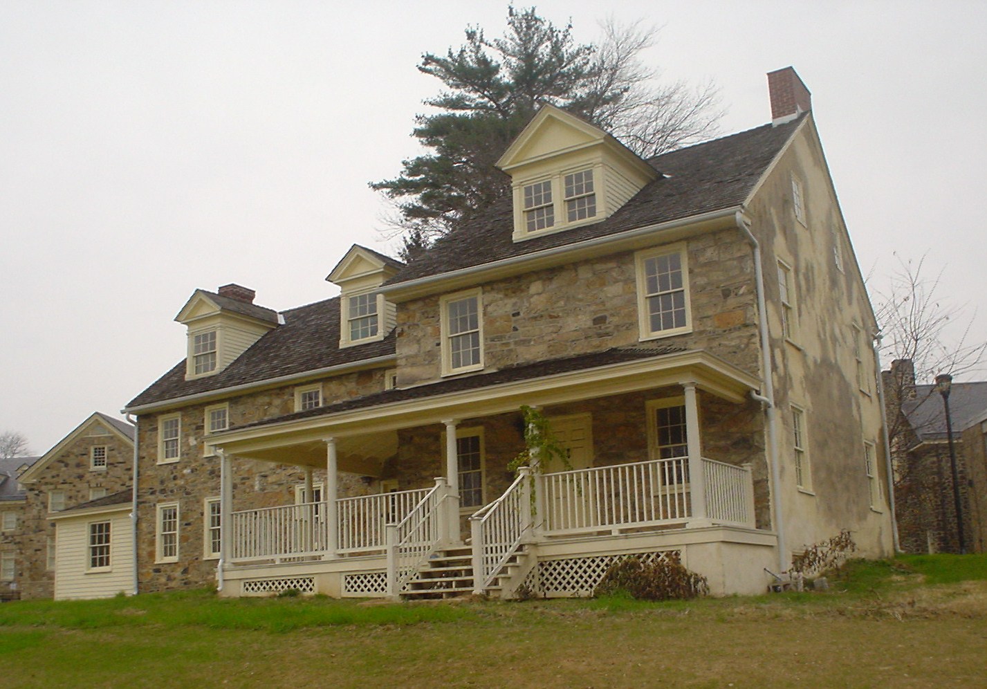
39°56′05″N 75°17′43″W / 39.934722°N 75.295278°WClifton Heights 44 Thomas Massey House 
November 16, 1970 Lawrence and Springhouse Roads
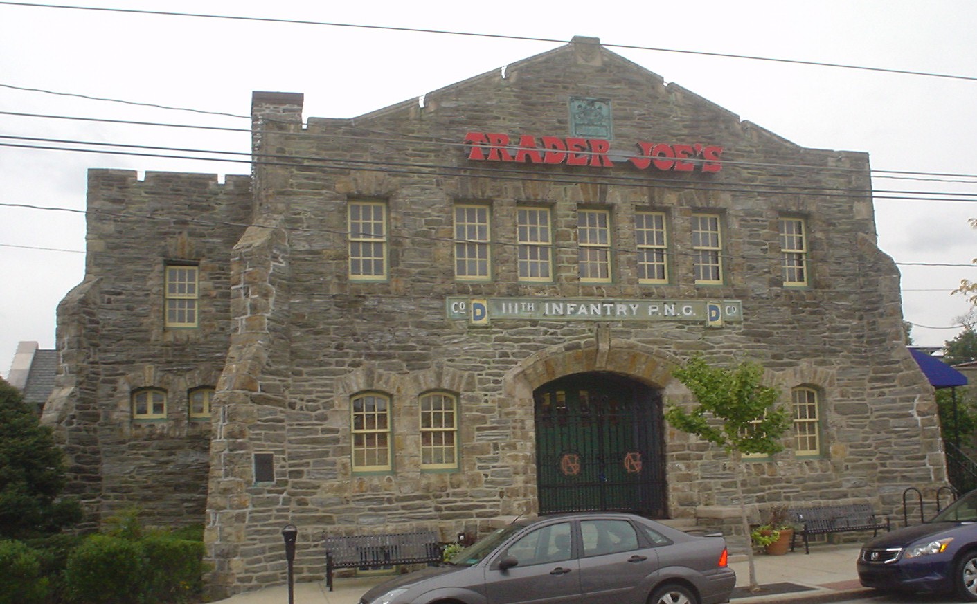
39°57′57″N 75°21′07″W / 39.965778°N 75.351889°WBroomall 45 Media Armory 
December 22, 1989 12 East State Street
39°55′06″N 75°23′20″W / 39.918333°N 75.388889°WMedia Will Price, architect. 46 Melrose 
September 4, 1986 Hill Dr.
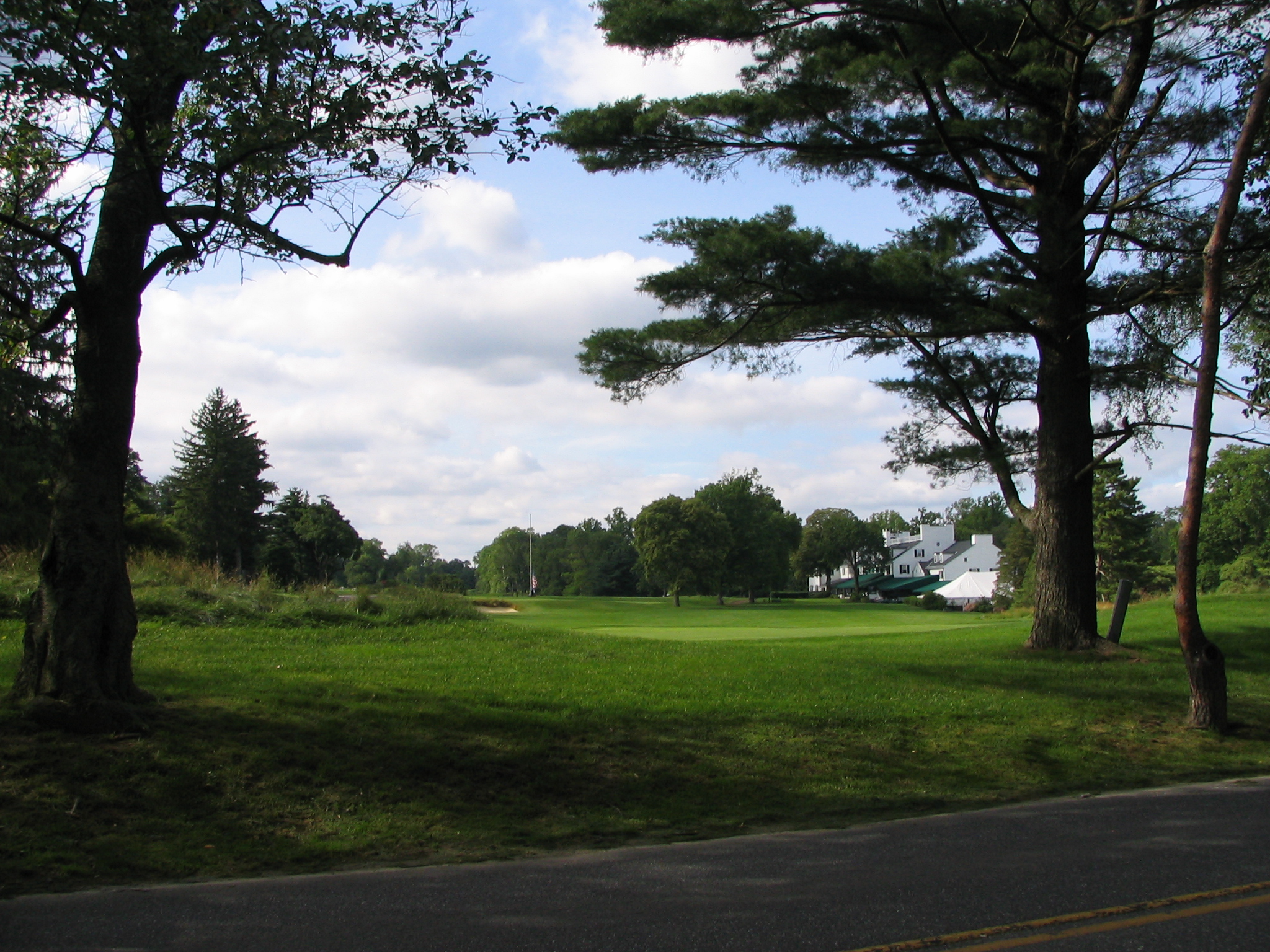
39°55′56″N 75°31′38″W / 39.932222°N 75.527222°WCheyney 47 Merion Golf Club, East and West Courses 
December 21, 1989 Ardmore Avenue
39°59′36″N 75°19′35″W / 39.993333°N 75.326389°WArdmore 48 Morton Homestead 
December 2, 1970 100 Lincoln Avenue
39°52′37″N 75°18′21″W / 39.876944°N 75.305833°WProspect Park 49 Morton Morton House 
February 4, 2000 Junction of Muckinipates and Darby Creeks
39°52′50″N 75°17′27″W / 39.880556°N 75.290833°WNorwood 50 Newlin Mill Complex 
March 9, 1983 South Cheyney Road
39°53′25″N 75°30′22″W / 39.890278°N 75.506111°WGlen Mills 51 Nicholas Newlin House 
April 26, 1972 Concord Road
39°53′10″N 75°31′19″W / 39.886111°N 75.521944°WConcordville 52 Nitre Hall 
December 18, 1970 Karakung Dr.
39°59′01″N 75°17′09″W / 39.983611°N 75.285833°WHavertown 53 North Wayne Historic District 
July 25, 1985 Roughly bounded by Eagle Road, Woodland Ct., Radnor Street, Poplar, and North Wayne Avenue
40°02′59″N 75°23′12″W / 40.049722°N 75.386667°WWayne 54 Ogden House 
November 20, 1979 530 Cedar Lane
39°54′41″N 75°21′04″W / 39.911389°N 75.351111°WSwarthmore 55 Old Main 
June 18, 1973 21st Street and Upland Avenue
39°51′21″N 75°22′17″W / 39.855833°N 75.371389°WUpland 56 Old Main and Chemistry Building 
May 22, 1978 14th Street between Melrose Avenue and Walnut Street
39°51′42″N 75°21′19″W / 39.861667°N 75.355278°WChester 57 Old Rose Tree Tavern 
June 21, 1971 Northeast of junction of Rose Tree and Providence Roads
39°56′17″N 75°23′34″W / 39.938056°N 75.392778°WMedia 58 William Painter Farm 
July 27, 1971 2 miles (3.2 km) northeast of Chadds Ford on U.S. Route 1
39°52′42″N 75°33′10″W / 39.878333°N 75.552778°WChadds Ford Township 59 William Penn Landing Site 
March 11, 1971 Penn and Front Streets
39°50′36″N 75°21′41″W / 39.843333°N 75.361389°WChester 60 Pennsylvania Railroad Station at Wayne 
May 7, 1999 Junction of North Wayne Avenue and Station Road
40°02′44″N 75°23′16″W / 40.045556°N 75.387778°WWayne 61 Pont Reading 
October 26, 1972 2713 Haverford Road
39°59′47″N 75°18′10″W / 39.996389°N 75.302778°WArdmore 62 The Printzhof 
October 15, 1966 Taylor Avenue and 2nd Street
39°51′40″N 75°18′11″W / 39.861111°N 75.303056°WEssington 63 Caleb Pusey House 
March 11, 1971 15 Race Street
39°51′04″N 75°23′13″W / 39.851111°N 75.386944°WUpland 64 Pusey-Crozier Mill Historic District 
September 27, 1976 Race Street
39°51′05″N 75°23′12″W / 39.851389°N 75.386667°WUpland 65 Radnor Friends Meetinghouse 
August 31, 1978 Sproul and Conestoga Roads
40°01′48″N 75°21′53″W / 40.03°N 75.364722°WIthan 66 Ridley Creek State Park 
October 8, 1976 Northwest of Media between Pennsylvania Routes 3 and 352
39°57′13″N 75°26′41″W / 39.953611°N 75.444722°WMedia 67 Dr. Samuel D. Risley House 
April 26, 1990 430 North Monroe Street
39°55′19″N 75°23′14″W / 39.921944°N 75.387222°WMedia 68 Rose Valley Historic District 
July 19, 2010 Roughly bounded by Ridley Creek, Woodward Rd., Providence and Brookhaven Rds. and Todmorden Ln. within Rose Valley Borough
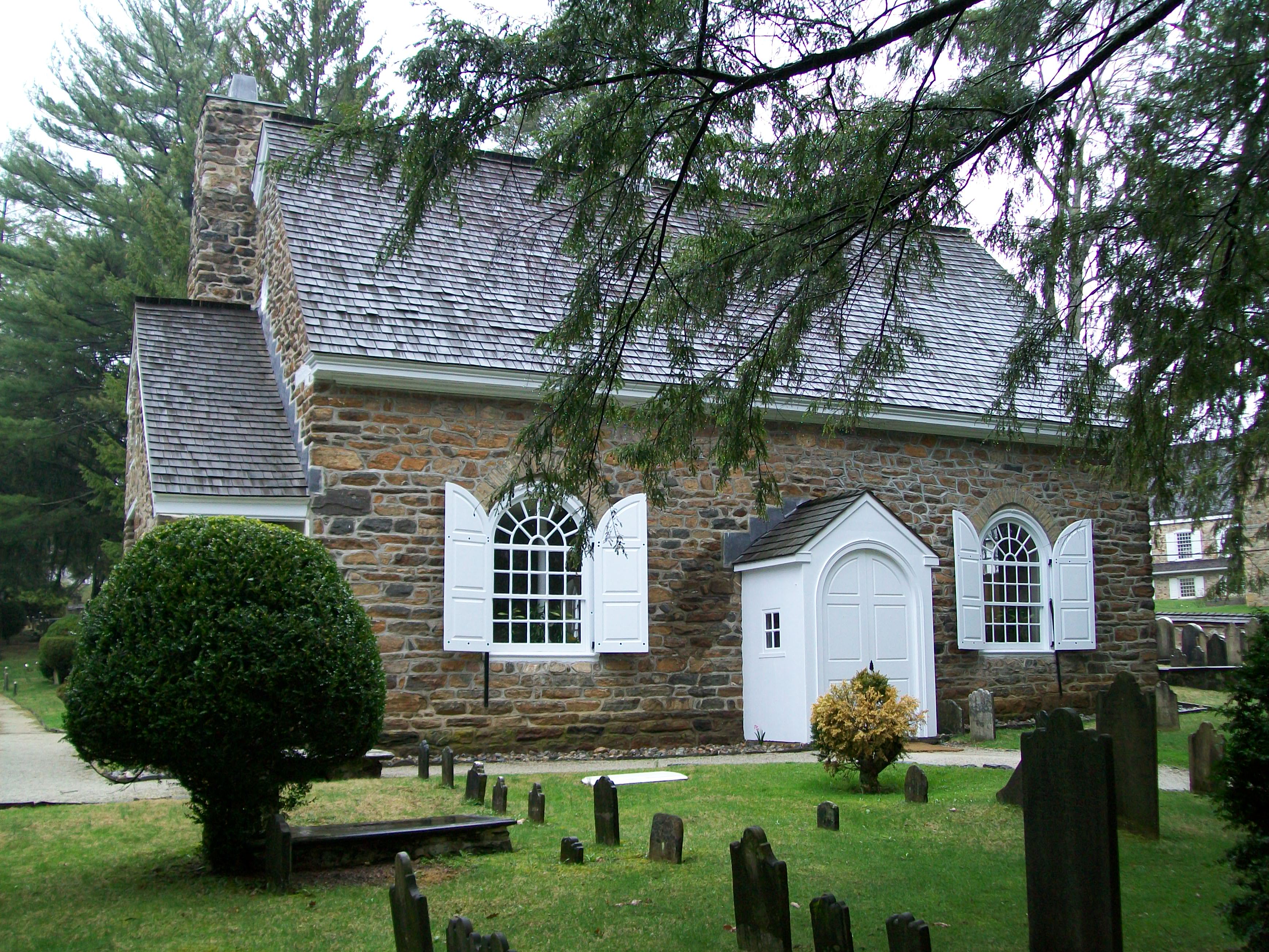
39°53′46″N 75°23′06″W / 39.896111°N 75.385°WRose Valley 69 St. David's Church and Graveyard 
September 20, 1978 7 miles (11 km) north of Media
40°01′37″N 75°24′16″W / 40.026944°N 75.404583°WNewtown Township 70 Saturday Club 
March 14, 1978 117 West Wayne Avenue
40°02′36″N 75°23′21″W / 40.043333°N 75.389167°WWayne 71 Second Street Bridge 
June 22, 1988 Pennsylvania Route 291/Second Street over Chester Creek
39°50′41″N 75°21′39″W / 39.844722°N 75.360833°WChester Destroyed[5] 72 Seventeen-hundred-and-four House 
December 24, 1967 Oakland Road, near junction of U.S. Route 202 and County Road 15199
39°53′47″N 75°33′40″W / 39.896389°N 75.561111°WDilworthtown 73 South Wayne Historic District 
April 18, 1991 Roughly bounded by Lancaster Avenue, Conestoga Road and Iven Avenue, Radnor Township
40°02′22″N 75°22′59″W / 40.039444°N 75.383056°WWayne 74 Square Tavern 
September 7, 1984 Newtown Street Road and Goshen Road
39°59′46″N 75°24′30″W / 39.996111°N 75.408333°WNewtown Square 75 Stonehaven 
October 24, 1996 484 Lenni Road, junction with New Road, Borough of Chester Heights
39°53′35″N 75°27′09″W / 39.893056°N 75.4525°WChester Heights 76 Thompson Cottage 
April 13, 1977 Southeast of West Chester on Thornton Road
39°53′38″N 75°31′24″W / 39.893889°N 75.523333°WConcord Township 77 Thornton Village Historic District 
November 14, 2006 Centered on Thornton and Glen Mills Roads
39°54′36″N 75°31′54″W / 39.91°N 75.531667°WThornbury Township 78 Thunderbird Lodge 
August 18, 1989 45 Rose Valley Road
39°53′55″N 75°23′17″W / 39.898611°N 75.388056°WRose Valley Will Price, architect. 79 Twaddell's Mill and House March 7, 1973 Rock Hill Road south of Chadds Ford
39°50′39″N 75°34′43″W / 39.844167°N 75.578611°WChadds Ford Township 80 Twentieth Century Club of Lansdowne 
July 23, 1980 84 South Lansdowne Avenue
39°56′08″N 75°16′24″W / 39.935556°N 75.273333°WLansdowne 81 John J. Tyler Arboretum 
February 27, 2003 515 Painter Road
39°56′05″N 75°25′52″W / 39.934722°N 75.431111°WLima 82 Wayne Hotel 
November 5, 1987 139 East Lancaster Avenue
40°02′38″N 75°23′12″W / 40.043889°N 75.386667°WWayne 83 Benjamin West Birthplace 
October 15, 1966 Swarthmore College campus
39°54′18″N 75°21′06″W / 39.905°N 75.351667°WSwarthmore 84 Westlawn 
November 18, 1988 123 North Providence Road
39°54′23″N 75°22′37″W / 39.906389°N 75.376944°WWallingford 85 Wolley Stille 
June 27, 1980 Harvey Road
39°52′28″N 75°21′58″W / 39.874444°N 75.366111°WWallingford 86 Woodcrest 
December 30, 2008 610 King of Prussia Road, Cabrini College campus
40°03′16″N 75°22′30″W / 40.054444°N 75.375°WRadnor Township 87 N. C. Wyeth House and Studio 
December 9, 1997 Murphy Road
39°51′59″N 75°35′09″W / 39.866342°N 75.585785°WChadds Ford Township Home and studio of painter N.C. Wyeth and family. Managed by the Brandywine River Museum See also
- List of National Historic Landmarks in Pennsylvania
- National Register of Historic Places listings in Pennsylvania
- List of Pennsylvania state historical markers in Delaware County
References
- ^ The latitude and longitude information provided in this table was derived originally from the National Register Information System, which has been found to be fairly accurate for about 99% of listings. For about 1% of NRIS original coordinates, experience has shown that one or both coordinates are typos or otherwise extremely far off; some corrections may have been made. A more subtle problem causes many locations to be off by up to 150 yards, depending on location in the country: most NRIS coordinates were derived from tracing out latitude and longitudes off of USGS topographical quadrant maps created under the North American Datum of 1927, which differs from the current, highly accurate WGS84 GPS system used by Google maps. Chicago is about right, but NRIS longitudes in Washington are higher by about 4.5 seconds, and are lower by about 2.0 seconds in Maine. Latitudes differ by about 1.0 second in Florida. Some locations in this table may have been corrected to current GPS standards.
- ^ "National Register of Historic Places: Weekly List Actions". National Park Service, United States Department of the Interior. Retrieved on November 10, 2011.
- ^ Numbers represent an ordering by significant words. Various colorings, defined here, differentiate National Historic Landmark sites and National Register of Historic Places Districts from other NRHP buildings, structures, sites or objects.
- ^ Location is derived from the Chanticleer website; the NRIS lists the property as "Address Restricted"
- ^ View provided by File:MouthChesterCreek.JPG
Municipalities and communities of Delaware County, Pennsylvania City 
Boroughs Aldan | Brookhaven | Chester Heights | Clifton Heights | Collingdale | Colwyn | Darby | East Lansdowne | Eddystone | Folcroft | Glenolden | Lansdowne | Marcus Hook | Media | Millbourne | Morton | Norwood | Parkside | Prospect Park | Ridley Park | Rose Valley | Rutledge | Sharon Hill | Swarthmore | Trainer | Upland | Yeadon
Townships Aston | Bethel | Chadds Ford | Chester | Concord | Darby | Edgmont | Haverford | Lower Chichester | Marple | Middletown | Nether Providence | Newtown | Radnor | Ridley | Springfield | Thornbury | Tinicum | Upper Chichester | Upper Darby | Upper Providence
CDPs Ardmore‡ | Boothwyn | Broomall | Drexel Hill | Folsom | Lima | Linwood | Village Green-Green Ridge | Woodlyn
Unincorporated
communitiesBortondale | Bowling Green | Briarcliffe | Chadds Ford‡ | Cheyney‡ | Chichester | Concordville | Crum Lynne | Drexel Park | Elwyn | Garden City | Garnet Valley | Garrett Hill | Glen Mills | Glen Riddle | Gradyville | Haverford‡ | Havertown | Holmes | Lenni | Moylan | Pilgrim Gardens | Pine Ridge | Primos | Radnor | Riddlewood | Rosemont‡ | Rose Tree | Secane | South Media | St. Davids | Strafford‡ | Twin Oaks | Villanova‡ | Wallingford | Wawa | Wayne‡ | Wyola
Footnotes ‡This populated place also has portions in an adjacent county or counties
Categories:- Delaware County, Pennsylvania
- National Register of Historic Places in Pennsylvania by county
-


Wikimedia Foundation. 2010.