- National Register of Historic Places listings in Montour County, Pennsylvania
-
 Location of Montour County in Pennsylvania
This is a list of the National Register of Historic Places listings in Montour County, Pennsylvania.
This is intended to be a complete list of the properties and districts on the National Register of Historic Places in Montour County, Pennsylvania, United States. The locations of National Register properties and districts for which the latitude and longitude coordinates are included below, may be seen in a Google map.[1]
There are 7 properties and districts listed on the National Register in the county.
-
- This National Park Service list is complete through NPS recent listings posted November 10, 2011.[2]
Current listings
[3] Landmark name[4] Image Date listed Location City or Town Summary 1 Thomas Beaver Free Library and Danville YMCA 
January 15, 1987 East Market and Ferry Streets
40°57′36″N 76°36′23″W / 40.96°N 76.60639°WDanville 2 Gottlieb Brown Covered Bridge 
August 8, 1979 East of Potts Grove on Township 594
41°0′6″N 76°46′26″W / 41.00167°N 76.77389°WLiberty Township Extends into East Chillisquaque Township in Northumberland County 3 Danville Historic District 
August 18, 1994 Roughly bounded by Bloom Street, Cedar Street, the Susquehanna River, and Chestnut Street
40°57′42″N 76°37′2″W / 40.96167°N 76.61722°WDanville 4 Danville West Market Street Historic District 
May 29, 1985 Bounded by Courthouse Alley, Front Street, Haney's Alley and Mahoning Street
40°57′46″N 76°37′28.75″W / 40.96278°N 76.6246528°WDanville 5 Keefer Covered Bridge No. 7 
November 29, 1979 Pennsylvania Route 346, southwest of Washingtonville
41°1′59″N 76°41′31″W / 41.03306°N 76.69194°WLiberty Township 6 Gen. William Montgomery House 
August 9, 1979 1 and 3 Bloom Street
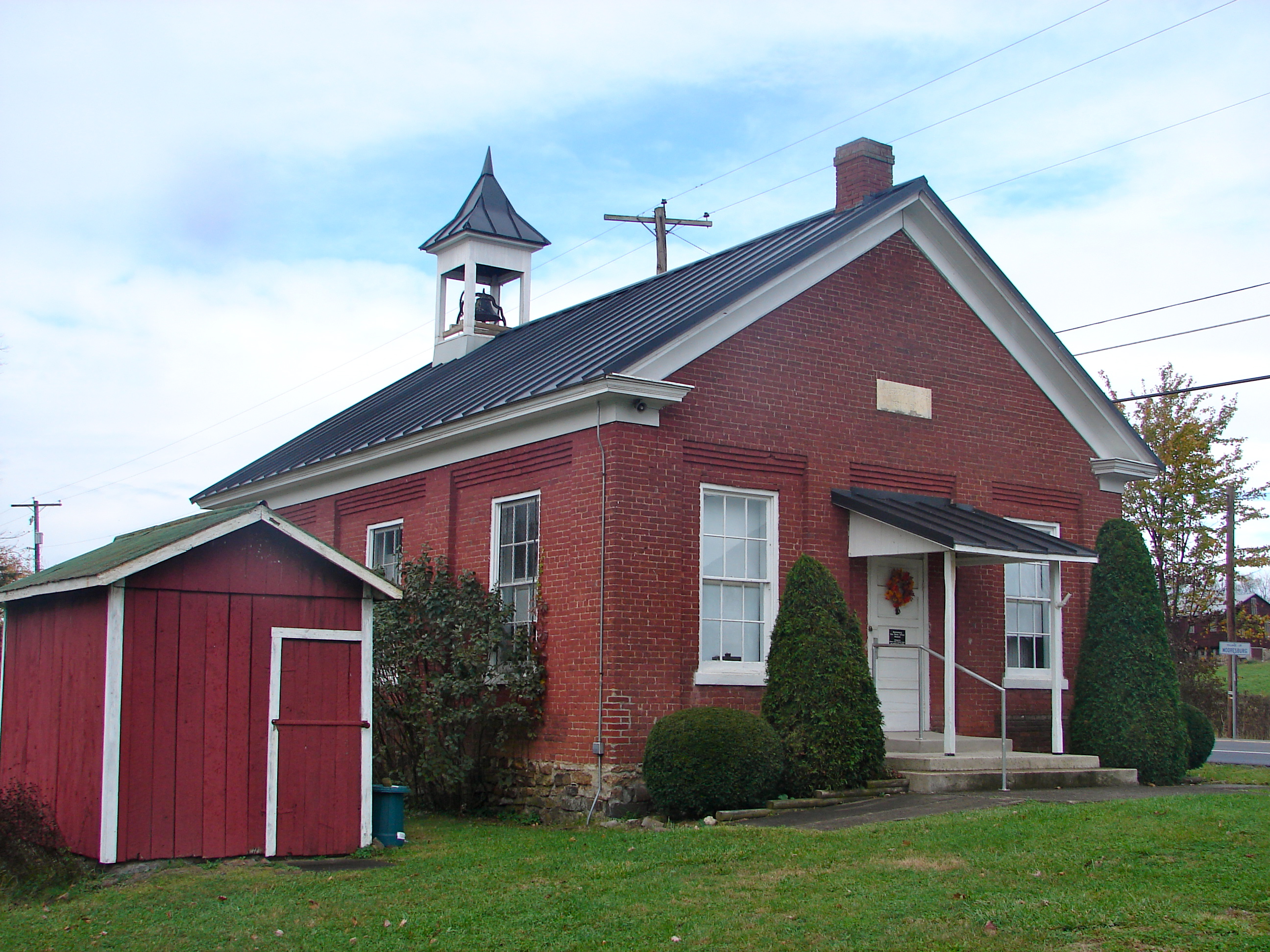
40°57′52″N 76°37′0″W / 40.96444°N 76.616667°WDanville 7 Mooresburg School 
December 30, 1987 Pennsylvania Routes 45/642
40°59′6″N 76°41′49″W / 40.985°N 76.69694°WLiberty Township See also
- List of National Historic Landmarks in Pennsylvania
- National Register of Historic Places listings in Pennsylvania
- List of Pennsylvania state historical markers in Montour County
References
- ^ The latitude and longitude information provided in this table was derived originally from the National Register Information System, which has been found to be fairly accurate for about 99% of listings. For about 1% of NRIS original coordinates, experience has shown that one or both coordinates are typos or otherwise extremely far off; some corrections may have been made. A more subtle problem causes many locations to be off by up to 150 yards, depending on location in the country: most NRIS coordinates were derived from tracing out latitude and longitudes off of USGS topographical quadrant maps created under North American Datum of 1927, which differs from the current, highly accurate GPS system used by Google maps. Chicago is about right, but NRIS longitudes in Washington are higher by about 4.5 seconds, and are lower by about 2.0 seconds in Maine. Latitudes differ by about 1.0 second in Florida. Some locations in this table may have been corrected to current GPS standards.
- ^ "National Register of Historic Places: Weekly List Actions". National Park Service, United States Department of the Interior. Retrieved on November 10, 2011.
- ^ Numbers represent an ordering by significant words. Various colorings, defined here, differentiate National Historic Landmark sites and National Register of Historic Places Districts from other NRHP buildings, structures, sites or objects.
- ^ "NPS Focus". National Register of Historic Places. National Park Service. http://nrhp.focus.nps.gov. Retrieved November 20, 2009.
Municipalities and communities of Montour County, Pennsylvania County seat: Danville Boroughs 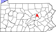
Townships CDP Unincorporated
communitiesCategories:- Montour County, Pennsylvania
- National Register of Historic Places in Pennsylvania by county
-


Wikimedia Foundation. 2010.