- National Register of Historic Places listings in Southern Chester County, Pennsylvania
-
 Location of Chester County in Pennsylvania
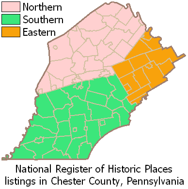
 Map of Chester County (clickable)
This is a list of the National Register of Historic Places listings in southern Chester County, Pennsylvania.
This is intended to be a complete list of the properties and districts on the National Register of Historic Places in southern Chester County, Pennsylvania, United States. Southern Chester County is defined as being the municipalities south of the Pennsylvania Main Line and west of West Chester. The locations of National Register properties and districts for which the latitude and longitude coordinates are included below, may be seen in a Google map.[1]
There are 310 properties and districts listed on the Register in Chester County, including 7 National Historic Landmarks. Southern Chester County includes 117 properties and districts, including 2 National Historic Landmarks; the county's remaining properties and districts are listed elsewhere.
-
- This National Park Service list is complete through NPS recent listings posted November 10, 2011.[2]
Current listings
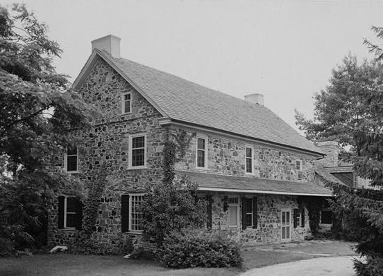
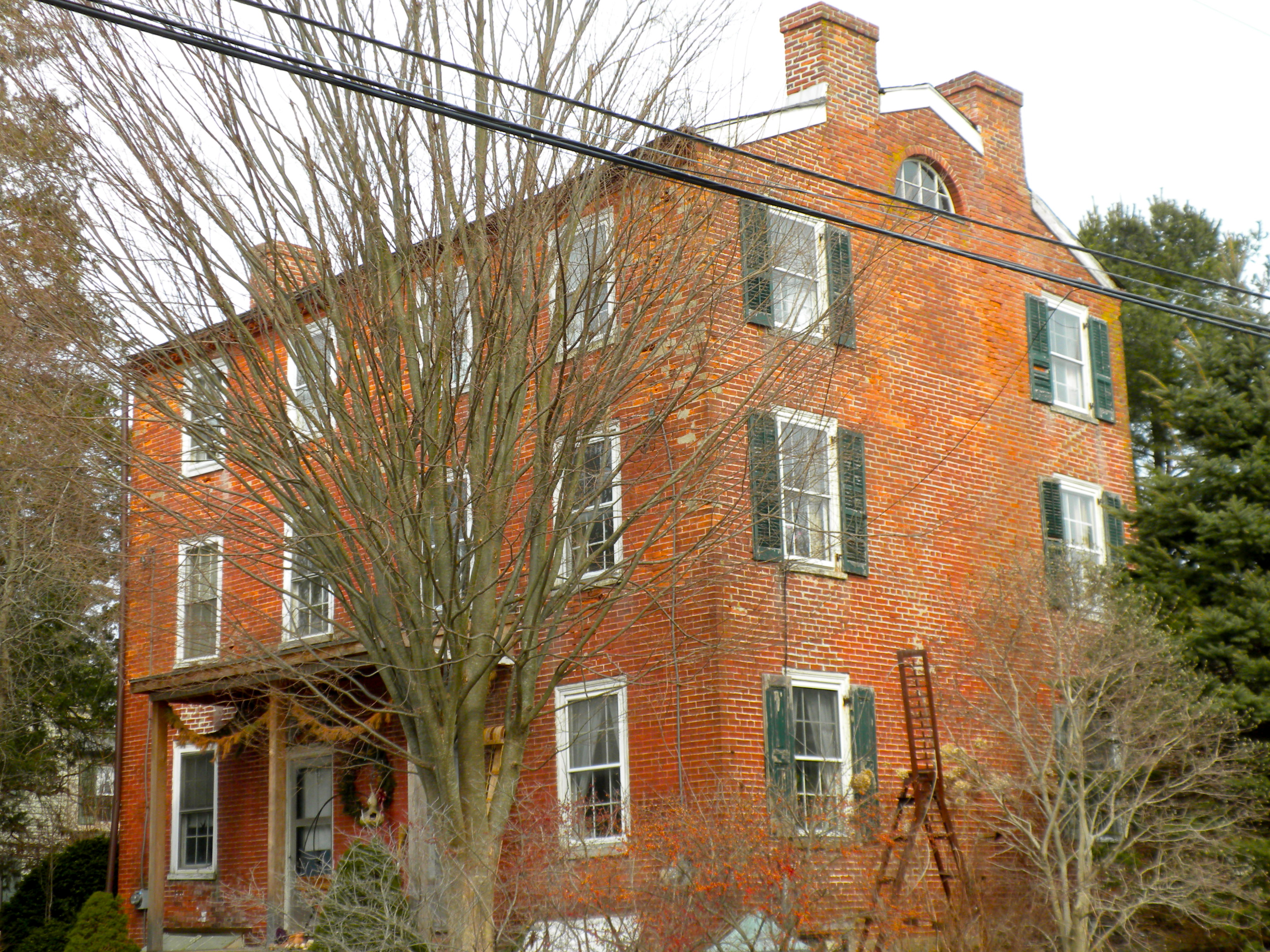
[3] Landmark name Image Date listed Location City or town Summary 1 John Bailey Farm May 20, 1985 Springdell Road near Coatesville
39°55′41″N 75°50′28″W / 39.928056°N 75.841111°WEast Fallowfield Township 2 Baily Farm 
September 16, 1985 Strasburg and Broad Run Roads
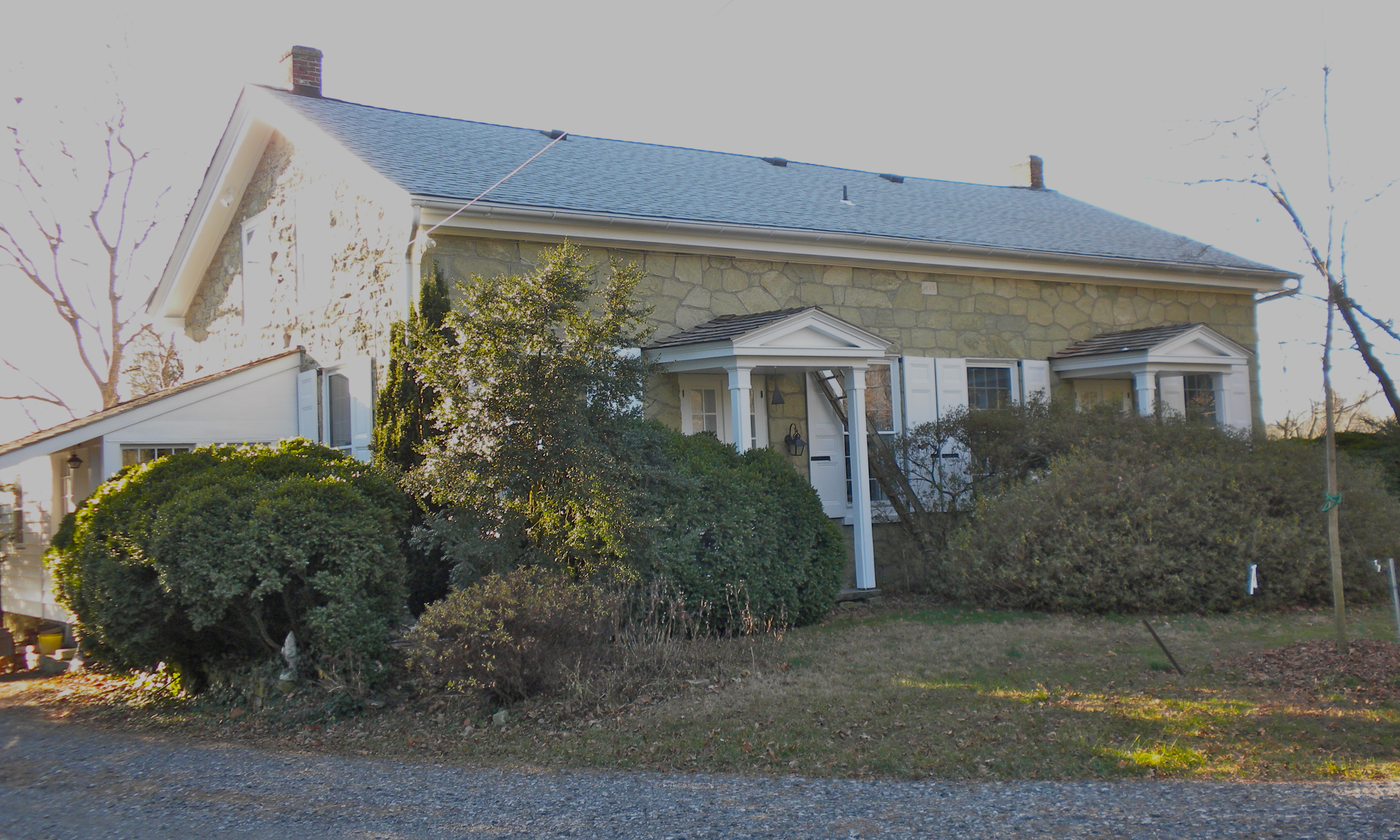
39°56′55″N 75°42′11″W / 39.948611°N 75.703056°WWest Bradford Township 3 Barns-Brinton House 
May 27, 1971 East of Hamorton on U.S. Route 1
39°52′24″N 75°37′35″W / 39.873333°N 75.626389°WPennsbury Township 4 Birmingham Friends Meetinghouse and School 
July 27, 1971 1245 Birmingham Road
39°54′20″N 75°35′42″W / 39.905556°N 75.595°WBirmingham Township 5 Bradford Friends Meetinghouse 
July 27, 1971 Eastern side of Northbrook Road in Marshallton
39°56′54″N 75°40′47″W / 39.948333°N 75.679722°WWest Bradford Township 6 Brandywine Building and Loan Assoc. Rowhouses 
May 20, 1985 Hephzibah Hill Road near Coatesville
39°57′13″N 75°48′24″W / 39.953611°N 75.806667°WEast Fallowfield Township 7 Bridge in East Fallowfield Township June 22, 1988 Strasburg Road over Mill Race near Mortonville
39°56′46″N 75°46′43″W / 39.946111°N 75.778611°WEast Fallowfield Township 8 Bridge in West Fallowfield Township 
June 22, 1988 Ross Fording Road over Octoraro Creek, near Steelville
39°52′58″N 75°59′31″W / 39.882778°N 75.991944°WWest Fallowfield Township 9 Brinton's Mill 
May 27, 1971 North of Chadds Ford on Creek Road
39°53′07″N 75°36′13″W / 39.885278°N 75.603611°WBirmingham Township 10 Edward Brinton House 
June 19, 1973 Northwest of Chadds Ford on Creek Road
39°53′17″N 75°36′29″W / 39.888056°N 75.608056°WBirmingham Township 11 George Brinton House October 25, 1990 Pennsylvania Route 100, 1 mile north of its junction with U.S. Route 1, near Chadds Ford
39°52′51″N 75°35′56″W / 39.880833°N 75.598889°WBirmingham Township 12 Brinton-King Farmstead 
March 21, 2002 1301 Brinton's Bridge Road, 162 Baltimore Pike
39°52′29″N 75°37′13″W / 39.874597°N 75.620275°WPennsbury Township 13 Carter-Worth House and Farm 
September 15, 1977 450 Lucky Hill Road near Marshallton
39°56′43″N 75°40′02″W / 39.945278°N 75.667222°WEast Bradford Township 14 Cedarcroft 
November 11, 1971 North of Kennett Square
39°51′35″N 75°43′09″W / 39.859722°N 75.719167°WEast Marlborough Township 15 Chandler Mill Bridge 
January 11, 2010 Chandler Mill Road over West Branch Red Clay Creek
39°48′41″N 75°42′48″W / 39.811389°N 75.713417°WKennett Township 16 Como Farm 
September 16, 1985 Broad Run Road
39°57′08″N 75°42′26″W / 39.952222°N 75.707222°WWest Bradford Township 17 Cope's Bridge 
March 7, 1985 Strasburg Road (Pennsylvania Route 162) west of its junction with Creek Road and east of Marshallton
39°57′31.9″N 75°39′19.3″W / 39.958861°N 75.655361°W[4]West Bradford Township 18 Daniel Davis House and Barn 
April 11, 1973 Birmingham and Street Road
39°54′47″N 75°36′00″W / 39.913056°N 75.6°WBirmingham Township 19 Harry DeHaven House 
September 18, 1985 Strasburg Road near Coatesville
39°57′18″N 75°50′56″W / 39.955°N 75.848889°WEast Fallowfield Township 20 Derbydown Homestead 
February 4, 1973 At the junction of CR 15077 and 15080
39°55′31″N 75°41′12″W / 39.925278°N 75.686667°WWest Bradford Township 21 Dilworthtown Historic District 
January 18, 1973 Junction of CR 15199 and 15087
39°53′57″N 75°34′06″W / 39.899167°N 75.568333°WBirmingham Township 22 Doe Run Village Historic District 
September 16, 1985 Highland Dairy, DuPont & Chapel Roads, and Pennsylvania Routes 82 and 841
39°55′08″N 75°49′04″W / 39.918889°N 75.817778°WWest Marlborough Township 23 Edward Dougherty House 
May 20, 1985 Mt. Carmel Road near Coatesville
39°57′45″N 75°51′43″W / 39.9625°N 75.861944°WEast Fallowfield Township 24 Philip Dougherty House 
September 18, 1985 Strasburg Road near Coatesville
39°57′32″N 75°52′20″W / 39.958889°N 75.872222°WEast Fallowfield Township 25 Philip Dougherty Tavern September 18, 1985 Strasburg Road near Coatesville
39°57′40″N 75°51′42″W / 39.961111°N 75.861667°WEast Fallowfield Township 26 Drovers Inn 
September 18, 1985 Strasburg Road near Coatesville
39°57′14″N 75°50′18″W / 39.953889°N 75.838333°WEast Fallowfield Township 27 East Bradford Boarding School for Boys 
March 7, 1973 1 mile (1.6 km) east of Lenape at West Chester and Sconnelltown Roads
39°55′47″N 75°37′07″W / 39.929722°N 75.618611°WEast Bradford Township 28 Edgewood 
March 7, 1973 Southeast of the junction of County Roads 15087 and 15221, near West Chester
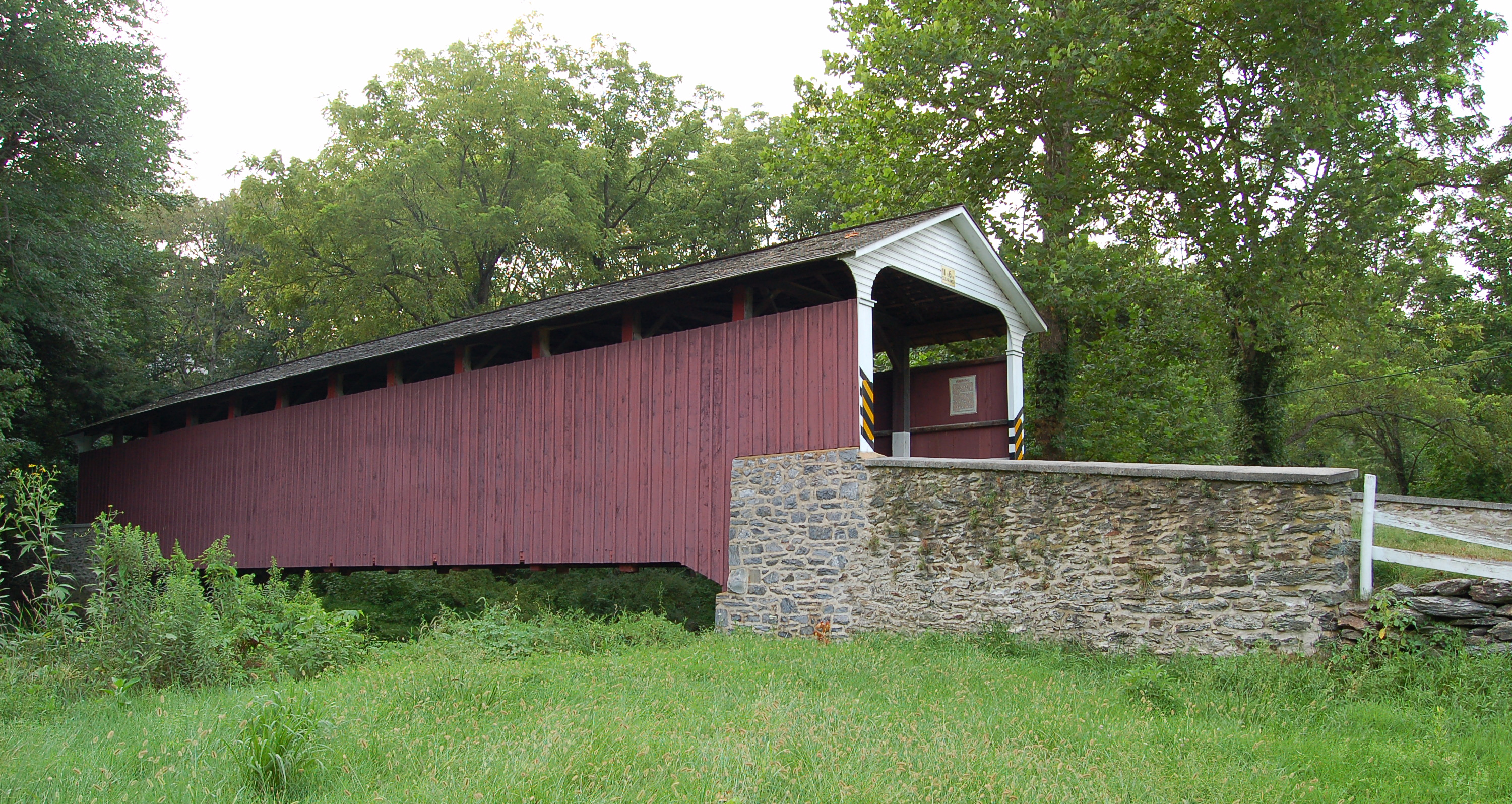
39°54′08″N 75°35′21″W / 39.902333°N 75.589167°WBirmingham Township 29 Embreeville Historic District September 16, 1985 Pennsylvania Route 162
39°55′35″N 75°43′55″W / 39.926389°N 75.731944°WNewlin Township 30 Ercildoun Historic District 
May 20, 1985 Pennsylvania Route 82, Township 368, Legislative Route 15236, and Township 371 and 182
39°56′35″N 75°50′31″W / 39.943056°N 75.841944°WEast Fallowfield Township 31 Fairville Historic District 
November 7, 1996 Kennett Pike between Fairville Road and Hickory Hill Road
39°50′52″N 75°38′00″W / 39.847778°N 75.633333°WPennsbury Township 32 John Ferron House 
November 26, 1985 Saint Malachi Road
39°53′57″N 75°51′06″W / 39.899167°N 75.851667°WLondonderry Township 33 Gibson's Covered Bridge 
December 10, 1980 Southeast of Downingtown on Township 391
39°58′34″N 75°41′00″W / 39.976111°N 75.683333°WEast and West Bradford Townships 34 Joseph Gladden House May 20, 1985 West Chester Road near Coatesville
39°58′45″N 75°47′29″W / 39.979167°N 75.791389°WEast Fallowfield Township 35 Glen Hope Covered Bridge 
December 10, 1980 West of Lewisville on Township 344, near West Grove
39°43′37″N 75°54′28″W / 39.726944°N 75.907778°WElk Township 36 Glen Rose Historic District 
September 18, 1985 Legislative Route 15178 and Township 371
39°56′37″N 75°51′33″W / 39.943611°N 75.859167°WEast Fallowfield Township 37 Green Valley Historic District 
September 16, 1985 Green Valley Road
39°55′18″N 75°45′40″W / 39.921667°N 75.761111°WEast Marlborough and Newlin Townships 38 Joseph Gregg House February 4, 1994 500 Chandler Mill Road
39°49′05″N 75°43′07″W / 39.818056°N 75.718611°WKennett Township 39 Hamorton Historic District 
April 26, 1990 Junction of U.S. Route 1 and Pennsylvania Route 52
39°52′08″N 75°39′18″W / 39.868889°N 75.655°WKennett Township 40 Hance House and Barn 
September 16, 1985 Pennsylvania Route 842
39°55′39″N 75°39′12″W / 39.9275°N 75.653333°WEast Bradford Township 41 John Hanna Farm 
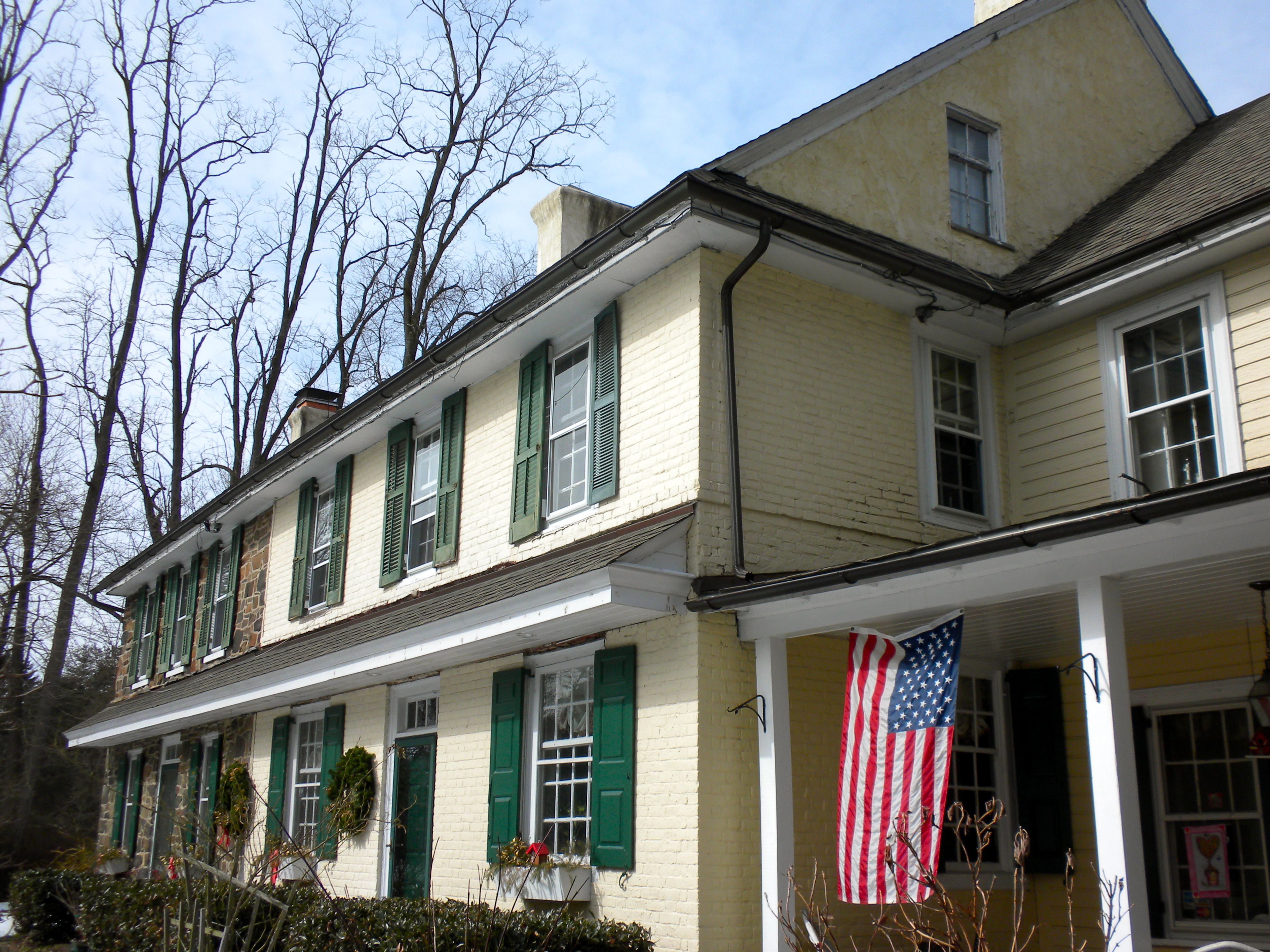
May 20, 1985 Fairview Road near Coatesville
39°56′11″N 75°47′42″W / 39.936389°N 75.795°WEast Fallowfield Township 42 Col. John Hannum House December 10, 1980 Northeast of Marshallton at 898 Frank Road
39°57′27″N 75°39′40″W / 39.9575°N 75.661111°WEast Bradford Township 43 Harlan House 
May 9, 1985 Pennsylvania Route 162 and Star Gazer Road, near Embreeville
39°56′17″N 75°43′56″W / 39.938056°N 75.732222°WNewlin Township 44 Harlan Log House 
July 16, 1987 Fairville Road
39°50′25″N 75°38′14″W / 39.840278°N 75.637222°WKennett Square 45 Peter Harvey House and Barn 
April 20, 1978 East of Kennett Square on Hillendale Road near Mendenhall
39°51′54″N 75°37′26″W / 39.865°N 75.623889°WPennsbury Township 46 William Harvey House 
May 27, 1971 Northwest of Chadds Ford on Brinton's Bridge Road off U.S. Route 1
39°52′35″N 75°37′04″W / 39.876389°N 75.617778°WPennsbury Township 47 Hayes Homestead 
September 16, 1985 Pennsylvania Route 162 and Harvey's Bridge Road
39°56′09″N 75°44′10″W / 39.935833°N 75.736111°WNewlin Township 48 Hayes Mill House September 16, 1985 Star Gazer Road
39°56′23″N 75°44′01″W / 39.939722°N 75.733611°WNewlin Township 49 Jacob Hayes House September 16, 1985 Pennsylvania Route 162
39°56′09″N 75°44′07″W / 39.935833°N 75.735278°WNewlin Township 50 Cyrus Hoopes House and Barn 
November 26, 1985 Springdell Road
39°54′33″N 75°49′59″W / 39.909167°N 75.833056°WWest Marlborough Township 51 Hopewell Historic District 
February 28, 1991 Roughly Hopewell Road from Lower Hopewell Road to Roneys Corner Road and area south, and Lower Hopewell Road north past Calvery Road
39°46′46″N 76°01′01″W / 39.779444°N 76.016944°WEast Nottingham and Lower Oxford Townships 52 House at Springdell 
September 16, 1985 Pennsylvania Route 841
39°54′25″N 75°50′09″W / 39.906944°N 75.835833°WWest Marlborough Township 53 House at Upper Laurel Iron Works September 16, 1985 McCorkel's Rock Road
39°56′00″N 75°46′47″W / 39.933333°N 75.779722°WNewlin Township 54 Indian Deep Farm 
September 16, 1985 Glenhall and Groundhog College Roads
39°55′34″N 75°41′59″W / 39.926111°N 75.699722°WNewlin Township 55 Kennett Square Historic District 
August 18, 1989 Roughly bounded by Sickles, Willow, Mulberry, Broad, South, Union, Cedar, Lafayette, State, and Washington
39°50′41″N 75°42′44″W / 39.844722°N 75.712222°WKennett Square 56 Lenape Bridge 
June 22, 1988 Pennsylvania Route 52 over parking lot
39°54′54″N 75°37′47″W / 39.915°N 75.629722°WBirmingham and Pocopson Townships 57 Longwood Gardens District 
December 10, 1972 On U.S. Route 1 near Hamorton
39°52′11″N 75°40′43″W / 39.869722°N 75.678611°WEast Marlborough Township 58 Lunn's Tavern 
October 25, 1979 Pennsylvania Route 896 at Strickersville
39°44′06″N 75°47′38″W / 39.735°N 75.793889°WLondon Britain Township 59 Marlborough Village Historic District 
March 8, 1995 354–418 Marlborough Road and 901 and 940 Marlborough Springs Road, near Kennett Square
39°54′00″N 75°42′11″W / 39.9°N 75.703056°WEast Marlborough and Newlin Townships 60 Humphry Marshall House 
May 27, 1971 Strasburg Road / Pennsylvania Route 162 at the junction with Northbrook Road, near Marshallton
39°57′02″N 75°40′54″W / 39.950556°N 75.681667°WWest Bradford Township 61 Marshallton Historic District 
January 8, 1986 Strasburg Road in Marshallton
39°57′00″N 75°40′35″W / 39.95°N 75.676389°WWest Bradford Township 62 Marshallton Inn 
July 29, 1977 West Strasburg Road in Marshallton
39°57′01″N 75°40′43″W / 39.950278°N 75.678611°WWest Bradford Township 63 Mercer's Mill Covered Bridge 
December 11, 1980 Northeast of Christiana and south of Atglen
39°55′53″N 75°58′54″W / 39.931389°N 75.981667°WWest Fallowfield Township Extends into Lancaster County 64 Merestone 
March 2, 1995 Yeatman's Station Rd.
39°45′45″N 75°44′57″W / 39.7625°N 75.749167°WNew Garden Township Extends into New Castle County, Delaware 65 Mortonville Hotel 
September 18, 1985 Strasburg Road near Coatesville
39°56′49″N 75°46′41″W / 39.946944°N 75.778056°WNewlin Township 66 Mountain Meadow Farm 
September 16, 1985 Harvey's Bridge Road
39°56′00″N 75°44′48″W / 39.933333°N 75.746667°WNewlin Township 67 Northbrook Historic District 
September 16, 1985 Northbrook, Indian Hannah, and Bragg Hill Roads
39°55′19″N 75°41′29″W / 39.921944°N 75.691389°WNewlin, Pocopson, and West Bradford Townships 68 Oakdale 
January 13, 1972 Hillendale Road near Chadds Ford
39°51′39″N 75°37′18″W / 39.860833°N 75.621667°WPennsbury Township 69 Old Kennett Meetinghouse 
July 15, 1974 South of West Chester on U.S. Route 1, east of its junction with Pennsylvania Route 52
39°52′16″N 75°38′54″W / 39.871111°N 75.648333°WKennett Township 70 Orthodox Meetinghouse 
April 26, 1972 Southwest of West Chester on Birmingham Road
39°54′16″N 75°35′38″W / 39.904444°N 75.593889°WBirmingham Township 71 Oxford Historic District 
February 1, 2007 Roughly bounded by Church Road, Chase Street, Hodgson Street
39°47′07″N 75°58′44″W / 39.785386°N 75.978836°WOxford 72 Oxford Hotel 
August 26, 1994 Junction of Market and North 3rd Streets
39°47′07″N 75°58′44″W / 39.785278°N 75.978889°WOxford 73 Paradise Valley Historic District 
December 24, 1992 Roughly Valley Creek Road from U.S. Route 322 to Ravine Road, near Marshallton
39°59′04″N 75°39′55″W / 39.984444°N 75.665278°WEast Bradford Township 74 Parkersville Friends Meetinghouse March 20, 1973 South of Parkersville off Pennsylvania Route 926
39°53′10″N 75°38′44″W / 39.886111°N 75.645556°WPennsbury Township 75 Mansel Passmore House 
May 20, 1985 Glen Rose Road near Coatesville
39°56′25″N 75°51′06″W / 39.940278°N 75.851667°WEast Fallowfield Township 76 Isaac Pawling House 
September 18, 1985 Strasburg Road near Coatesville
39°57′21″N 75°50′55″W / 39.955833°N 75.848611°WEast Fallowfield Township 77 Martha Pennock House May 20, 1985 Pennsylvania Route 82 near Coatesville
39°55′59″N 75°49′57″W / 39.933056°N 75.8325°WEast Fallowfield Township 78 Pennsbury Inn 
March 16, 1972 On U.S. Route 1 at its junction with Hickory Hill Road, near Chadds Ford
39°52′29″N 75°38′13″W / 39.874722°N 75.636944°WPennsbury Township 79 William Peters House 
May 27, 1971 Hillendale Road near Mendenhall
39°51′50″N 75°37′36″W / 39.863889°N 75.626667°WPennsbury Township 80 Joseph and Esther Phillips Plantation 
September 5, 1990 Bailey's Crossroads, south of Glen Run Road and south of Atglen
39°55′36″N 75°58′25″W / 39.926667°N 75.973611°WWest Fallowfield Township 81 Lukens Pierce House 
March 14, 1973 Northwest of Ercildoun on Wilmington Road
39°57′09″N 75°51′00″W / 39.9525°N 75.85°WEast Fallowfield Township 82 Pine Grove Covered Bridge 
December 11, 1980 Southeast of Kirkwood on Legislative Route 36018
39°47′37″N 76°02′41″W / 39.793611°N 76.044722°WEast Nottingham Township Extends into Lancaster County 83 Powell Farm August 20, 1985 Dupont Road near Coatesville
39°56′13″N 75°48′29″W / 39.936944°N 75.808056°WEast Fallowfield Township 84 John Powell House May 20, 1985 Hephzibah Hill Road near Coatesville
39°56′16″N 75°48′50″W / 39.937778°N 75.813889°WEast Fallowfield Township 85 Primitive Hall 
March 19, 1975 2 miles (3.2 km) northwest of Chatham on Pennsylvania Route 841
39°52′33″N 75°50′02″W / 39.875833°N 75.833889°WWest Marlborough Township 86 Joshua Pusey House May 20, 1985 Saw Mill Road near Coatesville
39°57′24″N 75°46′47″W / 39.956667°N 75.779722°WEast Fallowfield Township 87 Moses Ross House 
September 16, 1985 Off Creek Road north of Daleville
39°53′45″N 75°52′21″W / 39.895833°N 75.8725°WLondonderry Township 88 Rudolph and Arthur Covered Bridge 
December 10, 1980 North of Lewisville on Township 307 near West Grove
39°44′45″N 75°52′57″W / 39.745833°N 75.8825°WElk and New London Townships 89 St. Milachi Church 
September 16, 1985 St. Milachi Road
39°53′48″N 75°50′57″W / 39.896667°N 75.849167°WLondonderry Township 90 David Scott House 
May 20, 1985 Mt. Carmel Road near Coatesville
39°57′35″N 75°51′41″W / 39.959722°N 75.861389°WEast Fallowfield Township 91 Thomas Scott House 
May 20, 1985 Park Avenue near Coatesville
39°57′55″N 75°51′09″W / 39.965278°N 75.8525°WEast Fallowfield Township 92 South Brook Farm November 14, 1991 Junction of Street Road and Bird Road
39°52′00″N 75°45′13″W / 39.866667°N 75.753611°WEast Marlborough Township 93 Speakman No. 1 
December 10, 1980 South of Coatesville on Legislative Route 15068, near Modena
39°55′46″N 75°49′23″W / 39.929444°N 75.823056°WEast Fallowfield Township 94 Speakman No. 2, Mary Ann Pyle Bridge December 10, 1980 South of Coatesville on Township 371, near Modena
39°55′19″N 75°48′01″W / 39.921944°N 75.800278°WEast Fallowfield Township 95 Springdale Farm 
March 7, 1973 Northeast of Mendenhall on Hillendale Road
39°51′39″N 75°37′45″W / 39.860833°N 75.629167°WPennsbury Township 96 Spruce Grove School September 16, 1985 Brandywine Creek Road
39°56′07″N 75°46′08″W / 39.935278°N 75.768889°WNewlin Township 97 Robert Steen House May 20, 1985 Fairview Road near Coatesville
39°56′28″N 75°47′16″W / 39.941111°N 75.787778°WEast Fallowfield Township 98 Linton Stevens Covered Bridge 
December 10, 1980 Southwest of New London on Township 344
39°45′23″N 75°54′46″W / 39.756389°N 75.912778°WEast Nottingham and New London Townships 99 Strode's Mill 
May 27, 1971 Junction of Pennsylvania Route 52 and Birmingham Road
39°55′43″N 75°37′04″W / 39.928611°N 75.617778°WEast Bradford Township 100 Strode's Mill Historic District 
May 5, 1989 Junction of Pennsylvania Route 52 and Birmingham Road
39°55′42″N 75°37′03″W / 39.928333°N 75.6175°WEast Bradford Township 101 Taylor House August 1, 1979 East of Marshallton on West Strasburg Road
39°57′27″N 75°39′40″W / 39.9575°N 75.661111°WEast Bradford Township 102 Taylor-Cope Historic District 
July 16, 1987 890–1100 blocks of Strasburg Road/Pennsylvania Route 162 in Marshallton
39°57′32″N 75°38′50″W / 39.958889°N 75.647222°WWest Bradford Township 103 Temple-Webster-Stoner House 
March 7, 1973 East of Romansville off Pennsylvania Route 162
39°56′42″N 75°42′05″W / 39.945°N 75.701389°WWest Bradford Township 104 Thompson Farm 
July 14, 1983 632 Chambers Rock Road near New London
39°43′54″N 75°46′57″W / 39.731667°N 75.7825°WLondon Britain Township 105 Trimbleville Historic District 
September 16, 1985 Northbrook, Broad Run, and Camp Linden Roads
39°55′55″N 75°40′56″W / 39.931944°N 75.682222°WPocopson and West Bradford Townships 106 Unionville Village Historic District 
June 6, 1979 Pennsylvania Routes 82 and 162, at Unionville
39°53′42″N 75°44′09″W / 39.895°N 75.735833°WEast Marlborough Township 107 Rev. Joshua Vaughan House September 18, 1985 Strasburg Road near Coatesville
39°57′03″N 75°48′54″W / 39.950833°N 75.815°WEast Fallowfield Township 108 Asa Walton House 
September 18, 1985 Strasburg and Old Wilmington Roads, near Coatesville
39°57′20″N 75°51′16″W / 39.955556°N 75.854444°WEast Fallowfield Township 109 John Wentz House May 20, 1985 Pennsylvania Route 82 near Coatesville
39°56′40″N 75°49′59″W / 39.944444°N 75.833056°WEast Fallowfield Township 110 White Horse Tavern 
September 18, 1985 Strasburg Road near Coatesville
39°57′02″N 75°49′11″W / 39.950556°N 75.819722°WEast Fallowfield Township 111 Gideon Wickersham Farmstead 
January 30, 1988 750 Northbrook Road
39°53′19″N 75°41′23″W / 39.888611°N 75.689722°WKennett Square 112 Wilkinson House September 16, 1985 Pennsylvania Route 842
39°55′33″N 75°39′57″W / 39.925833°N 75.665833°WPocopson Township 113 Robert Wilson House 
September 18, 1985 Strasburg Road near Coatesville
39°57′09″N 75°50′32″W / 39.9525°N 75.842222°WEast Fallowfield Township 114 Worker's House at Lower Laurel Iron Works September 16, 1985 Creek Road
39°56′14″N 75°46′08″W / 39.937222°N 75.768889°WNewlin Township 115 Worth-Jefferis Rural Historic District 
April 27, 1995 Roughly along Lucky Hill, North Wawaset, Allerton, and Creek Roads, near Marshallton
39°56′15″N 75°39′13″W / 39.9375°N 75.653611°WEast and West Bradford Townships 116 Joseph Young House September 16, 1985 Creek Road
39°56′12″N 75°45′39″W / 39.936667°N 75.760833°WNewlin Township 117 Robert Young House 
September 18, 1985 Strasburg Road near Coatesville
39°57′02″N 75°49′13″W / 39.950556°N 75.820278°WEast Fallowfield Township Former listings
[3] Landmark name Image Date listed Location City or town Summary 1 Bridge in New Garden Township 
March 23, 2010 Landenberg Road over White Clay Creek, near Landenberg
39°46′39″N 75°46′19″W / 39.7775°N 75.77194°WNew Garden Township Listed on June 22, 1988. 2 Mortonville Bridge 
July 16, 2010 Strasburg Road near Coatesville
39°56′47″N 75°46′47″W / 39.94639°N 75.77972°WEast Fallowfield and Newlin Townships Listed on September 18, 1985 See also
- List of National Historic Landmarks in Pennsylvania
- National Register of Historic Places listings in Pennsylvania
References
- ^ The latitude and longitude information provided in this table was derived originally from the National Register Information System, which has been found to be fairly accurate for about 99% of listings. For about 1% of NRIS original coordinates, experience has shown that one or both coordinates are typos or otherwise extremely far off; some corrections may have been made. A more subtle problem causes many locations to be off by up to 150 yards, depending on location in the country: most NRIS coordinates were derived from tracing out latitude and longitudes off of USGS topographical quadrant maps created under North American Datum of 1927, which differs from the current, highly accurate GPS system used by Google maps. Chicago is about right, but NRIS longitudes in Washington are higher by about 4.5 seconds, and are lower by about 2.0 seconds in Maine. Latitudes differ by about 1.0 second in Florida. Some locations in this table may have been corrected to current GPS standards.
- ^ "National Register of Historic Places: Weekly List Actions". National Park Service, United States Department of the Interior. Retrieved on November 10, 2011.
- ^ Numbers represent an ordering by significant words. Various colorings, defined here, differentiate National Historic Landmark sites and National Register of Historic Places Districts from other NRHP buildings, structures, sites or objects.
- ^ Location derived from its NRHP nomination form; the NRIS lists the site as "Address Restricted"
Municipalities and communities of Chester County, Pennsylvania County seat: West Chester City 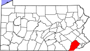
Boroughs Atglen | Avondale | Downingtown | Elverson | Honey Brook | Kennett Square | Malvern | Modena | Oxford | Parkesburg | Phoenixville | South Coatesville | Spring City | West Chester | West Grove
Townships Birmingham | Caln | Charlestown | East Bradford | East Brandywine | East Caln | East Coventry | East Fallowfield | East Goshen | East Marlborough | East Nantmeal | East Nottingham | East Pikeland | East Vincent | East Whiteland | Easttown | Elk | Franklin | Highland | Honey Brook | Kennett | London Britain | London Grove | Londonderry | Lower Oxford | New Garden | New London | Newlin | North Coventry | Penn | Pennsbury | Pocopson | Sadsbury | Schuylkill | South Coventry | Thornbury | Tredyffrin | Upper Oxford | Upper Uwchlan | Uwchlan | Valley | Wallace | Warwick | West Bradford | West Brandywine | West Caln | West Fallowfield | West Goshen | West Marlborough | West Nantmeal | West Nottingham | West Pikeland | West Sadsbury | West Vincent | West Whiteland | Westtown | Willistown
CDPs Unincorporated
communitiesBirchrunville | Bucktown | Chester Springs | Cheyney | Cossart | Coventryville | Daylesford | Eagle | Embreeville | Ercildoun | Hopewell | Kemblesville | Kimberton | Knauertown | Landenberg | Lower Hopewell | Ludwigs Corner | Marshallton | Mortonville | Nottingham | Pughtown | Southeastern | Strafford | Strickersville | Sugartown | Unionville | Valley Forge | Wayne | Willowdale | Yellow Springs
Categories:- Chester County, Pennsylvania
- National Register of Historic Places in Pennsylvania by county
-


Wikimedia Foundation. 2010.