- National Register of Historic Places listings in Pike County, Pennsylvania
-
 Location of Pike County in Pennsylvania
This is a list of the National Register of Historic Places listings in Pike County, Pennsylvania.
This is intended to be a complete list of the properties and districts on the National Register of Historic Places in Pike County, Pennsylvania, United States. The locations of National Register properties and districts for which the latitude and longitude coordinates are included below, may be seen in a Google map.[1]
There are 26 properties and districts listed on the National Register in the county. Two sites are further designated as National Historic Landmarks and another is designated as a National Historic Site.
-
- This National Park Service list is complete through NPS recent listings posted November 4, 2011.[2]
Current listings
[3] Landmark name[4] Image Date listed Location City or Town Summary 1 Brodhead Farm 
July 23, 1979 Northeast of Bushkill on U.S. Route 209
41°8′59″N 74°55′12″W / 41.14972°N 74.92°WLehman Township 2 Callahan House 
July 23, 1979 U.S. Route 209, south of Milford
41°19′0″N 74°48′1″W / 41.316667°N 74.80028°WDingman Township 3 D & H Canal Co. Office 
August 9, 1993 Northwestern side of Scenic Drive in Lackawaxen
41°29′1″N 74°59′13″W / 41.48361°N 74.98694°WLackawaxen Township Intact 1855 house built as local office for canal; now used as bed and breakfast 3 Delaware and Hudson Canal 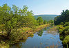
November 24, 1968 Delaware and Hudson Canal Lackawaxen Township Extends into Wayne County 5 Delaware Aqueduct 
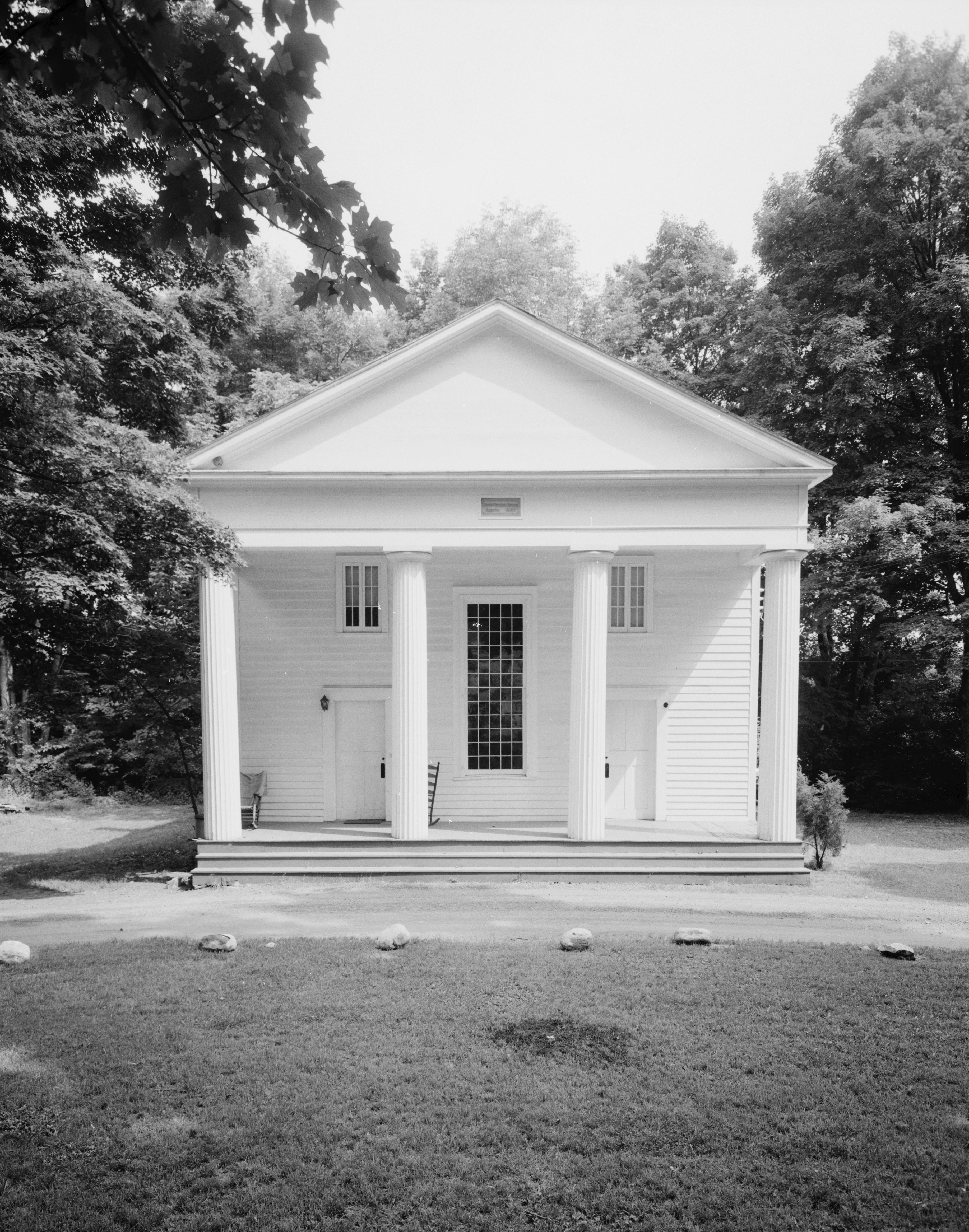
November 24, 1968 Between Minisink Ford, New York and Lackawaxen Lackawaxen Township 6 Dingman's Ferry Dutch Reformed Church 
July 23, 1979 U.S. Route 209 in Dingman's Ferry
41°13′32″N 74°52′10″W / 41.22556°N 74.86944°WDelaware Township 7 Forester's Hall 
July 14, 1983 Broad and Hartford Streets
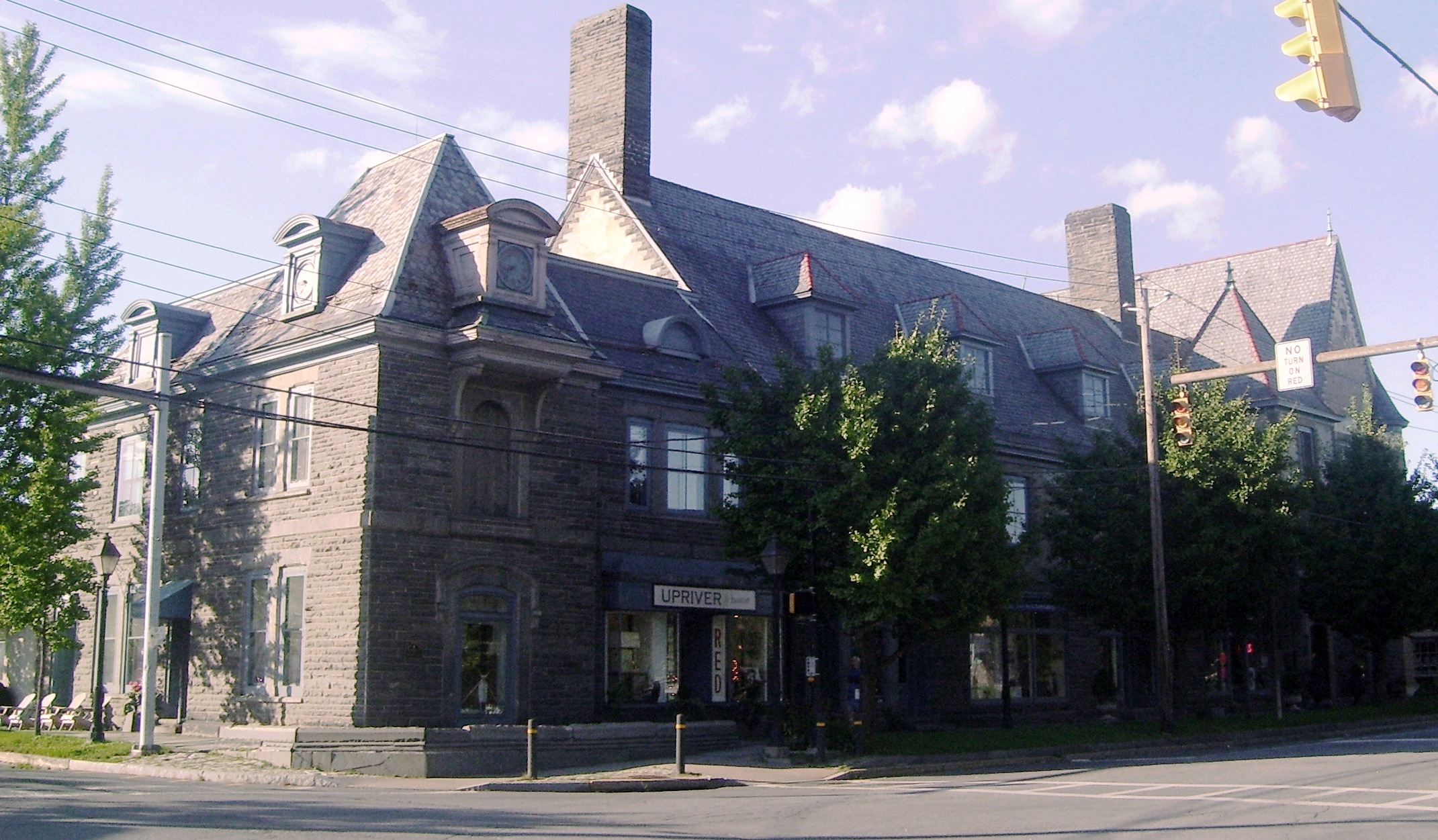
41°19′21″N 74°48′14″W / 41.3225°N 74.80389°WMilford 8 Jervis Gordon Grist Mill Historic District December 26, 1985 Water, Mill, and Seventh Streets
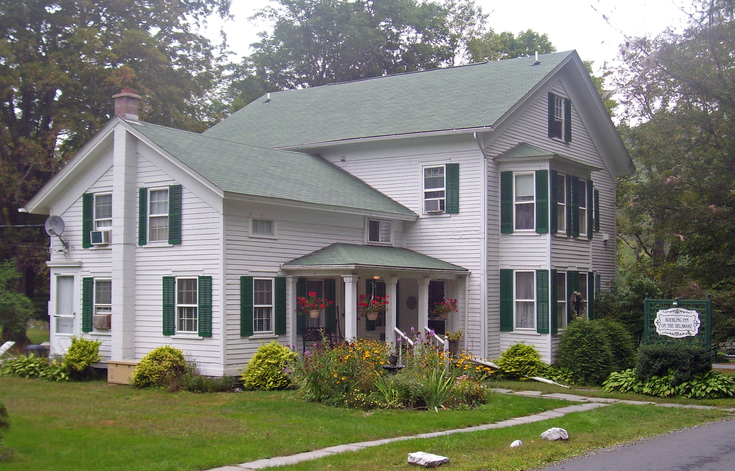
41°19′26″N 74°48′40″W / 41.32389°N 74.81111°WMilford 9 Zane Grey House 
May 6, 1983 Roebling Road in Lackawaxen; also 135 Lackawaxen Scenic Dr.
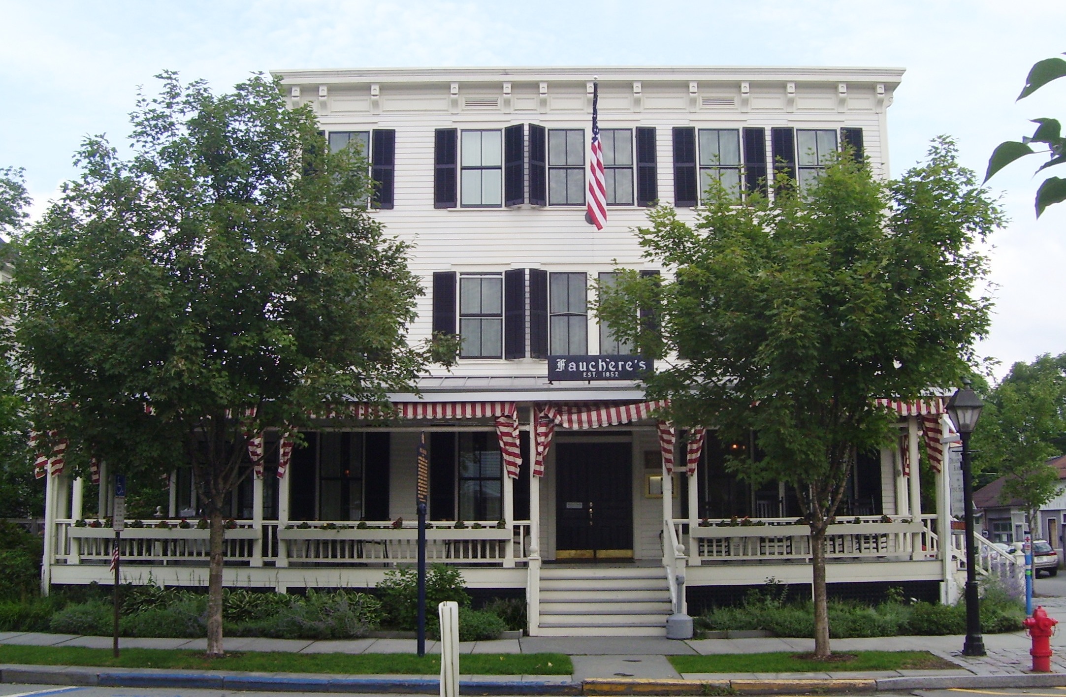
41°29′8″N 74°59′16″W / 41.48556°N 74.98778°WLackawaxen Township Self-designed 1905–18 home of the novelist; wrote Riders of the Purple Sage here. Now museum run by the National Park Service. Scenic Drive represents a boundaries increase of April 29, 2011 10 Hotel Fauchere and Annex 
August 29, 1980 401 and 403 Broad Street
41°19′25″N 74°48′5″W / 41.32361°N 74.80139°WMilford 11 Lord House June 30, 1980 Pennsylvania Route 739 at Lords Valley
41°22′4″N 75°3′49″W / 41.36778°N 75.06361°WBlooming Grove Township 12 Metz Ice Plant 
November 19, 2007 Harford Street
41°19′2″N 74°47′59″W / 41.31722°N 74.79972°WMilford 13 Milford Historic District 
July 23, 1998 Roughly along Broad, Harford, Ann, Catharine, High, and Fourth Streets
41°19′23″N 74°48′8″W / 41.32306°N 74.80222°WMilford 14 Mill Rift Hall August 9, 1993 Bluestone Boulevard
41°24′42″N 74°44′45″W / 41.41167°N 74.74583°WWestfall Township 15 Minisink Archeological Site April 19, 1993 In the vicinity of Minisink Island
41°17′26.16″N 74°49′44.4″W / 41.2906°N 74.829°W[5]Dingman Township Extends into Sussex County, New Jersey 16 Nearpass House August 19, 1993 Cemetery Road
41°25′7″N 74°44′30″W / 41.41861°N 74.74167°WWestfall Township 17 Nyce Farm 
July 23, 1979 Northwest of Bushkill on U.S. Route 209
41°8′24″N 74°55′50″W / 41.14°N 74.93056°WLehman Township 18 Peters House 
August 24, 1979 U.S. Route 209 in Bushkill
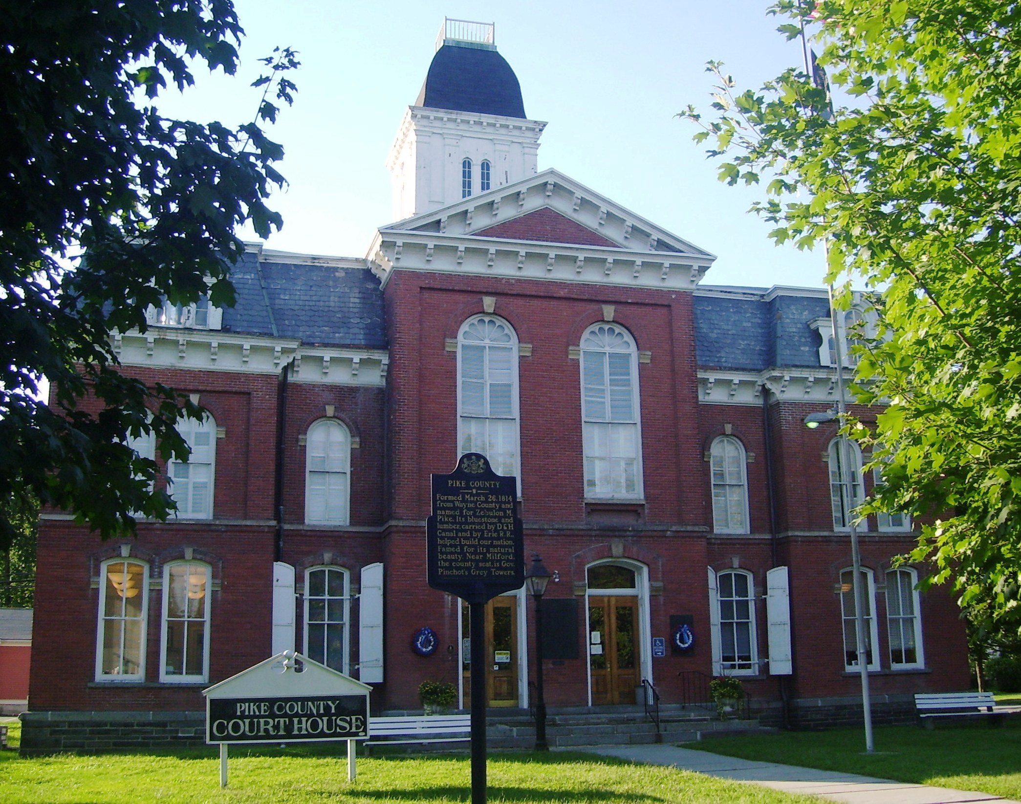
41°5′36″N 75°0′8″W / 41.09333°N 75.00222°WLehman Township 19 Pike County Courthouse 
July 23, 1979 Broad and High Streets
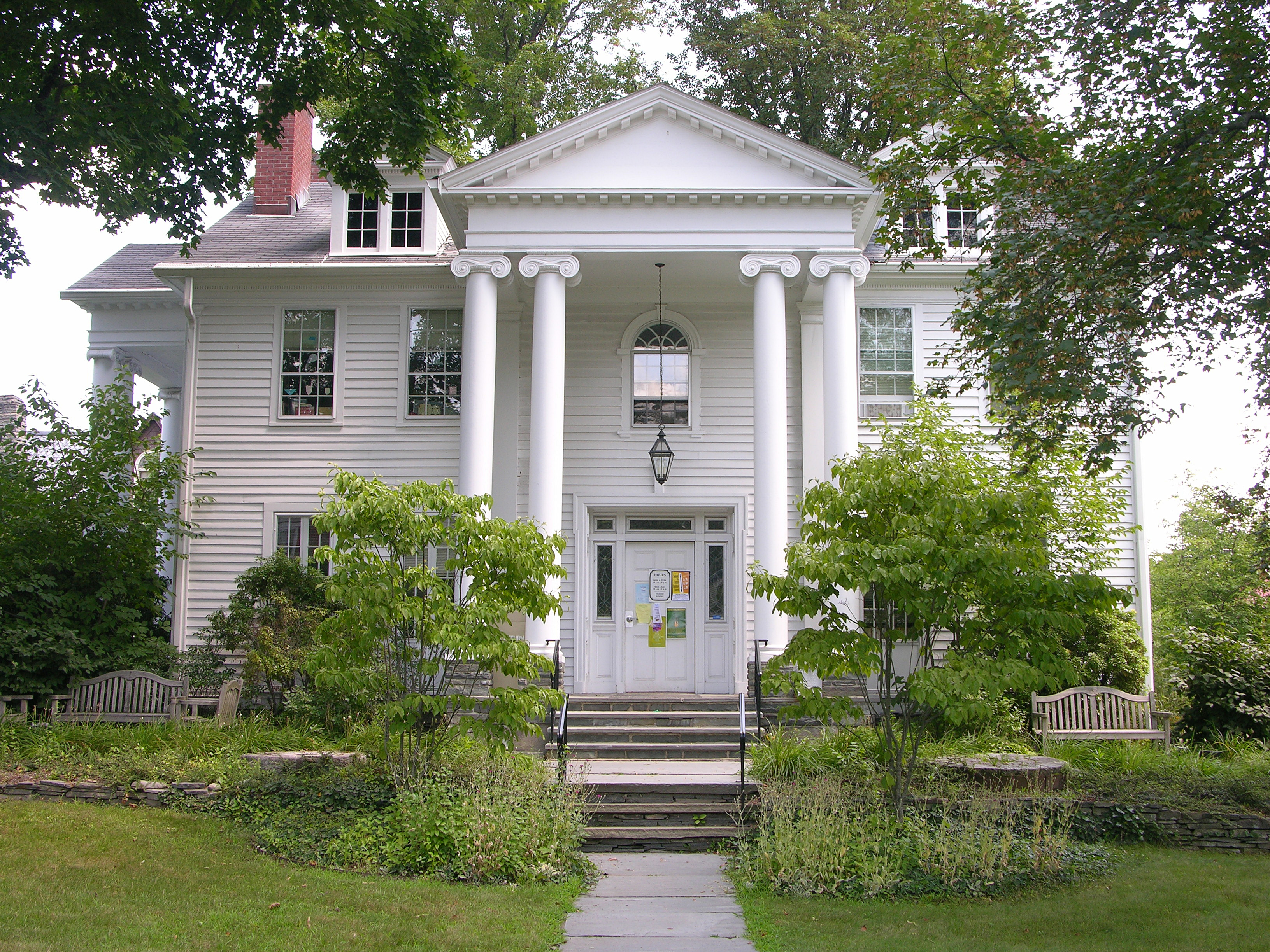
41°19′28″N 74°48′4″W / 41.32444°N 74.80111°WMilford 20 Gifford Pinchot House 
October 15, 1966 Western edge of Milford
41°19′46″N 74°49′10″W / 41.32944°N 74.81944°WDingman Township Family home of Gifford Pinchot, founder of U.S. Forest Service, is only National Historic Site run by that agency. Also home to Pinchot Institute 21 Pond Eddy Bridge 
November 14, 1988 Quadrant Route 1011 over the Delaware River at Pond Eddy
41°26′21″N 74°49′13″W / 41.43917°N 74.82028°WShohola Township Extends into Sullivan County, New York 22 Promised Land State Park-Whittaker Lodge District February 11, 1987 10 miles (16 km) north of Canadensis on Pennsylvania Route 390
41°18′44″N 75°11′29″W / 41.31222°N 75.19139°WPalmyra Township 23 Promised Land State Park-Bear Wallow Cabins February 11, 1987 10 miles (16 km) north of Canadensis on Pennsylvania Route 390
41°19′10″N 75°12′46″W / 41.31944°N 75.21278°WPalmyra Township 24 Shohola Glen Hotel March 28, 1997 100 Rohman Road
41°28′29″N 74°54′55″W / 41.47472°N 74.91528°WShohola Township 25 Turn Store and the Tinsmith's Shop September 18, 1978 U.S. Route 209 in Bushkill
41°5′32″N 75°0′11″W / 41.09222°N 75.00306°WLehman Township 26 Marie Zimmermann Farm 
November 1, 1979 Southwest of Milford on U.S. Route 209
41°15′7″N 74°51′30″W / 41.25194°N 74.85833°WDelaware Township Former listing
[3] Landmark name[4] Image Date delisted Location City or Town Summary 1 Shanna House March 10, 1998 U.S. Route 209 Dingman Township See also
- List of National Historic Landmarks in Pennsylvania
- National Register of Historic Places listings in Pennsylvania
- List of Pennsylvania state historical markers in Pike County
References
- ^ The latitude and longitude information provided in this table was derived originally from the National Register Information System, which has been found to be fairly accurate for about 99% of listings. For about 1% of NRIS original coordinates, experience has shown that one or both coordinates are typos or otherwise extremely far off; some corrections may have been made. A more subtle problem causes many locations to be off by up to 150 yards, depending on location in the country: most NRIS coordinates were derived from tracing out latitude and longitudes off of USGS topographical quadrant maps created under North American Datum of 1927, which differs from the current, highly accurate GPS system used by Google maps. Chicago is about right, but NRIS longitudes in Washington are higher by about 4.5 seconds, and are lower by about 2.0 seconds in Maine. Latitudes differ by about 1.0 second in Florida. Some locations in this table may have been corrected to current GPS standards.
- ^ "National Register of Historic Places: Weekly List Actions". National Park Service, United States Department of the Interior. Retrieved on November 4, 2011.
- ^ a b Numbers represent an ordering by significant words. Various colorings, defined here, differentiate National Historic Landmark sites and National Register of Historic Places Districts from other NRHP buildings, structures, sites or objects.
- ^ a b "NPS Focus". National Register of Historic Places. National Park Service. http://nrhp.focus.nps.gov. Retrieved November 20, 2009.
- ^ Location derived from its NRHP nomination form; the NRIS lists the site as "Address Restricted"
Municipalities and communities of Pike County, Pennsylvania County seat: Milford Boroughs 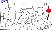
Townships Unincorporated
communitiesBushkill | Dingmans Ferry | Greentown | Lords Valley | Panther | Tafton
Categories:- Pike County, Pennsylvania
- National Register of Historic Places in Pennsylvania by county
-


Wikimedia Foundation. 2010.