- National Register of Historic Places listings in Lackawanna County, Pennsylvania
-
 Location of Lackawanna County in Pennsylvania
This is a list of the National Register of Historic Places listings in Lackawanna County, Pennsylvania.
This is intended to be a complete list of the properties and districts on the National Register of Historic Places in Lackawanna County, Pennsylvania, United States. The locations of National Register properties and districts for which the latitude and longitude coordinates are included below, may be seen in a Google map.[1]
There are 31 properties and districts listed on the National Register in the county. One site is further designated as a National Historic Landmark and another is designated as a National Historic Site.
-
- This National Park Service list is complete through NPS recent listings posted November 10, 2011.[2]
Current listings
[3] Landmark name Image Date listed Location City or town Summary 1 Ad-Lin Building November 5, 1987 600 Linden Street
41°24′29″N 75°39′41″W / 41.408056°N 75.661389°WScranton 2 Albright Memorial Building May 22, 1978 North Washington Avenue and Vine Street
41°24′39″N 75°39′35″W / 41.410833°N 75.659722°WScranton 3 Carbondale City Hall and Courthouse January 6, 1983 One North Main Street
41°34′20″N 75°30′13″W / 41.572222°N 75.503611°WCarbondale 4 Joseph Cassese House October 24, 1997 1000 Clay Avenue
41°24′47″N 75°38′48″W / 41.413056°N 75.646667°WScranton 5 Central Railroad of New Jersey Freight Station 
August 1, 1979 602 West Lackawanna Avenue
41°24′42″N 75°40′16″W / 41.411667°N 75.671111°WScranton 6 Century Club of Scranton March 28, 1996 612 Jefferson Avenue
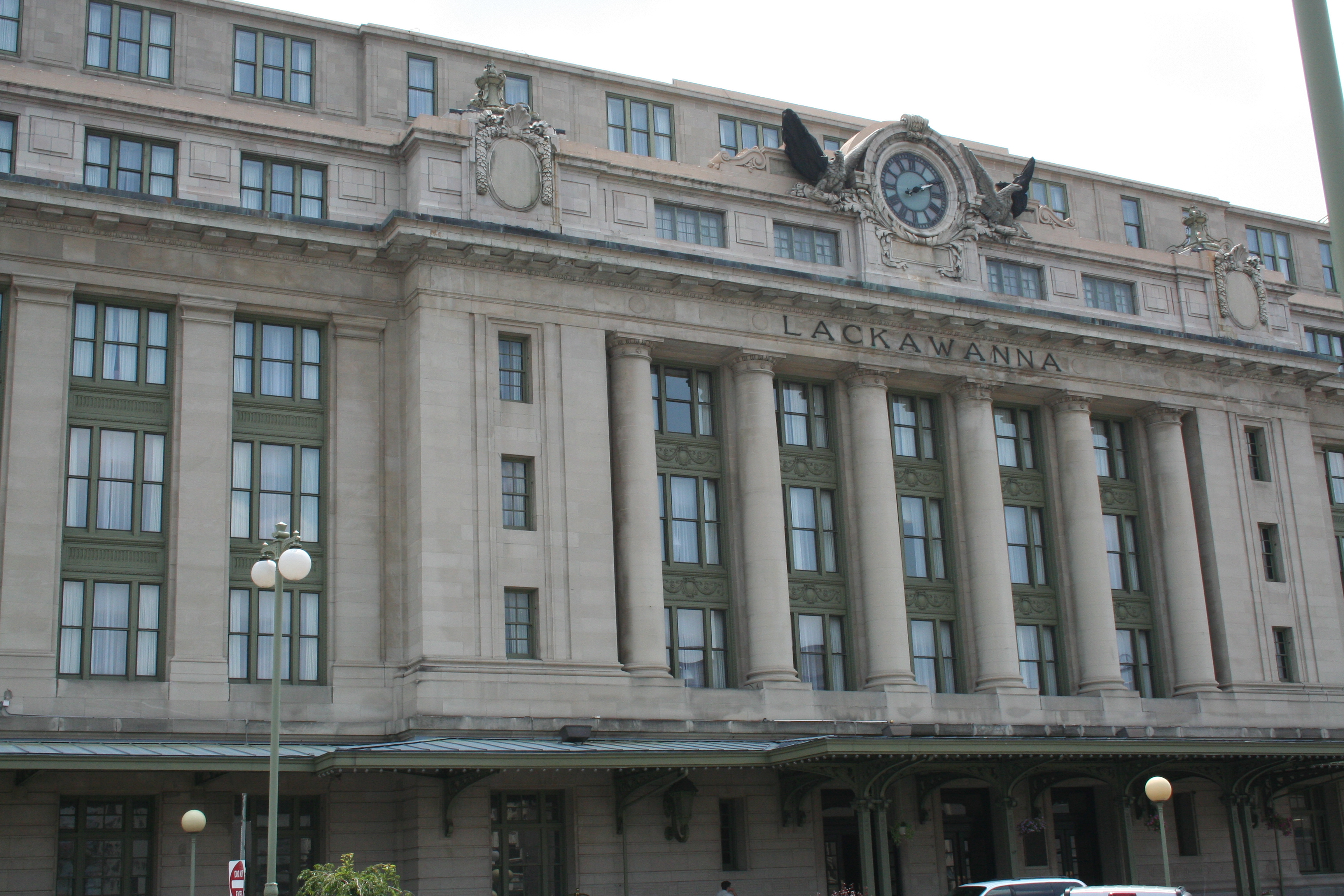
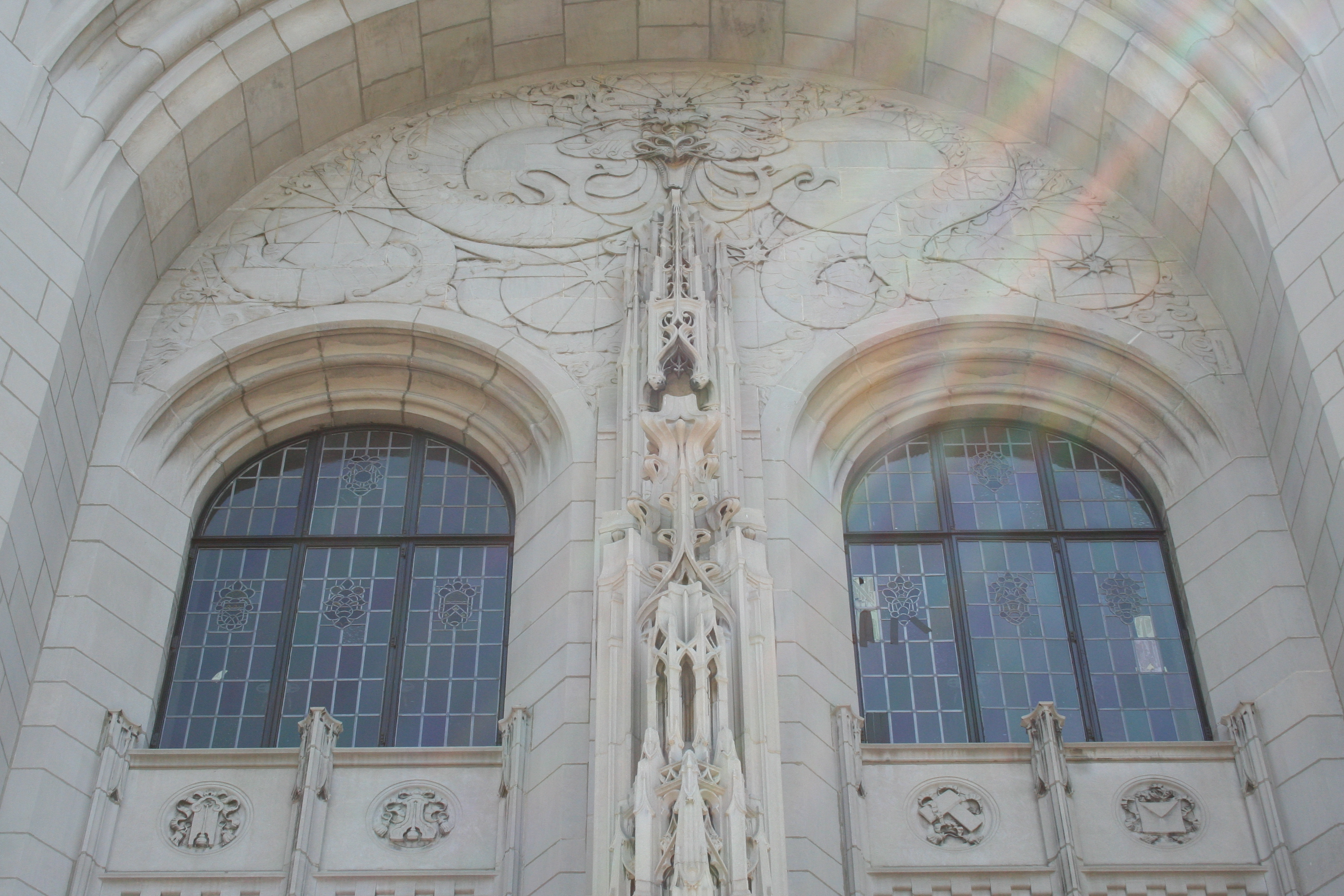
41°24′42″N 75°39′21″W / 41.411667°N 75.655833°WScranton 7 Delaware, Lackawanna and Western Railroad Station 
December 6, 1977 Lackawanna and Jefferson Avenues
41°24′19″N 75°39′43″W / 41.405278°N 75.661944°WScranton 8 Delaware, Lackawanna and Western Railroad Yard-Dickson Manufacturing Co. Site 
November 21, 1990 Roughly bounded by Cliff Street, Lackawanna Avenue, Mattes Avenue, River Street and the Lackawanna River
41°24′23″N 75°40′09″W / 41.406389°N 75.669167°WScranton 9 Dickson Works May 14, 1979 225 Vine Street
41°24′49″N 75°39′45″W / 41.413611°N 75.6625°WScranton 10 Dime Bank Building 
July 14, 1978 Wyoming Avenue and Spruce Street
41°24′30″N 75°39′56″W / 41.408333°N 75.665556°WScranton 11 Finch Building 
June 14, 1976 424 Wyoming Avenue
41°24′42″N 75°39′43″W / 41.411667°N 75.661944°WScranton 12 First Church of Christ, Scientist May 9, 1988 520 Vine Street
41°24′32″N 75°39′38″W / 41.408889°N 75.660556°WScranton 13 Florence Apartments January 5, 1984 643 Adams Avenue
41°24′46″N 75°39′24″W / 41.412778°N 75.656667°WScranton 14 Grand Army of the Republic Building May 17, 1984 303 Linden Street
41°24′39″N 75°39′55″W / 41.410833°N 75.665278°WScranton 15 Harrison Avenue Bridge 
June 22, 1988 Legislative Route 5 over Legislative Route 35009, Par–Roaring Brook and railroad
41°24′00″N 75°39′06″W / 41.4°N 75.651667°WScranton 16 Lackawanna Avenue Commercial Historic District 
November 10, 1983 Roughly bounded by Adams, Franklin, Bogart Place, and Spruce Streets
41°24′27″N 75°39′55″W / 41.4075°N 75.665278°WScranton 17 Lackawanna County Courthouse and John Mitchell Monument 
November 5, 1997 Bounded by Washington Avenue, Linden Street, Adams Avenue, and Spruce Street
41°24′29″N 75°39′46″W / 41.408056°N 75.662778°WScranton 18 Lackawanna Iron and Coal Company Furnace 
September 6, 1991 159 Cedar Avenue
41°24′16″N 75°39′45″W / 41.404444°N 75.6625°WScranton 19 James Madison School June 24, 2009 528 Quincy Avenue
41°24′30″N 75°39′11″W / 41.408333°N 75.652917°WScranton Educational Resources of Pennsylvania MPS 20 Masonic Temple and Scottish Rite Cathedral 
November 7, 1997 416–420 North Washington Avenue
41°24′39″N 75°39′38″W / 41.410833°N 75.660556°WScranton 21 Municipal Building and Central Fire Station, 340 
September 11, 1981 North Washington Avenue and 518 Mulberry Street
41°24′36″N 75°39′41″W / 41.41°N 75.661389°WScranton 22 North Scranton Junior High School September 24, 1999 1539 North Main Avenue
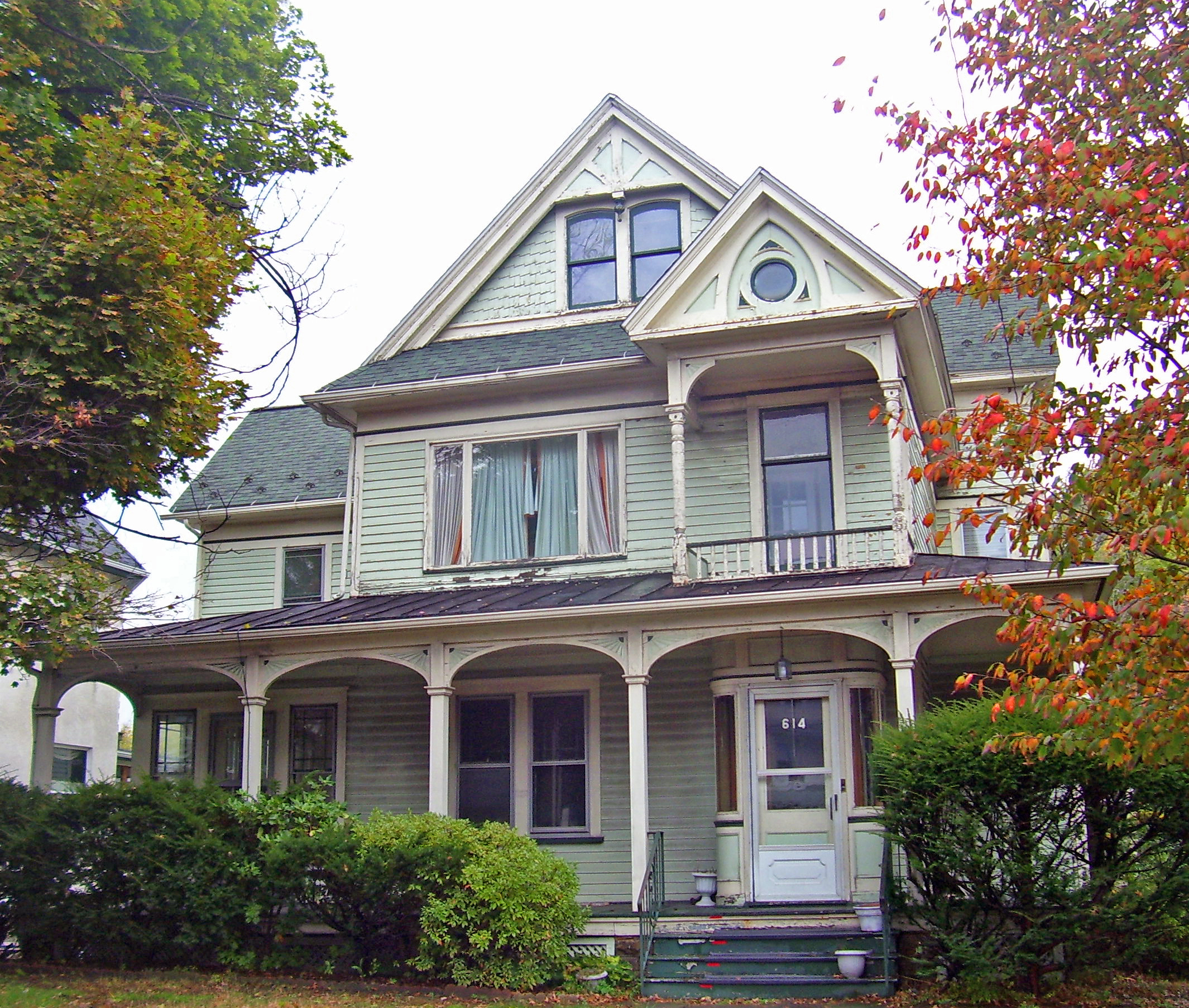
41°25′42″N 75°38′51″W / 41.428333°N 75.6475°WScranton 23 Terence V. Powderly House 
October 15, 1966 614 North Main Street
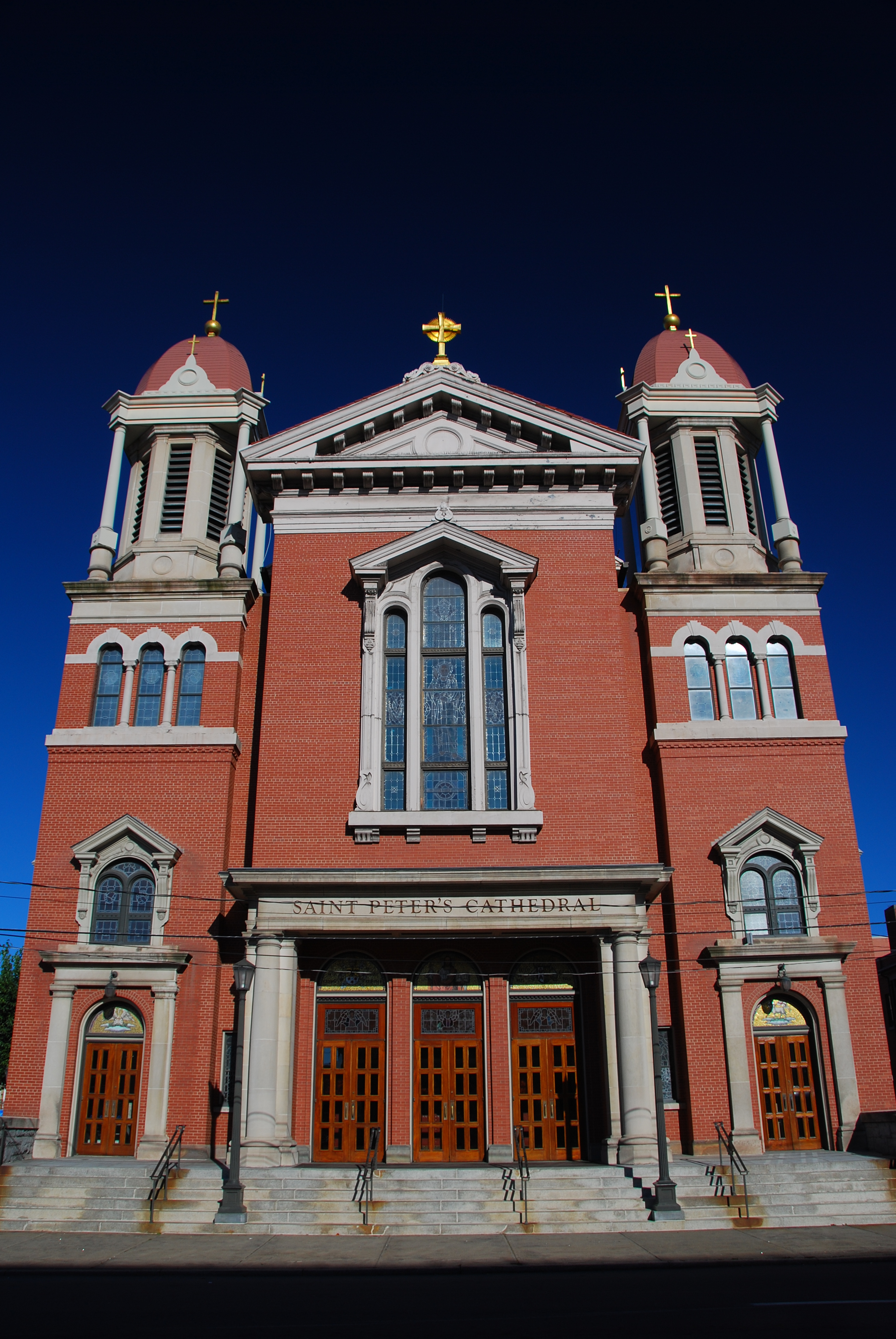
41°25′07″N 75°40′30″W / 41.418611°N 75.675°WScranton 24 St. Peter's Cathedral Complex 
July 19, 1976 315 Wyoming Avenue
41°24′38″N 75°39′50″W / 41.410556°N 75.663889°WScranton 25 Scranton Armory December 22, 1989 900 Adams Avenue
41°24′55″N 75°39′10″W / 41.415278°N 75.652778°WScranton 26 Scranton Chamber of Commerce Building September 8, 2011 426 Mulberry Street
41°24′37.5″N 75°39′41.5″W / 41.410417°N 75.661528°WScranton 27 Silkman House 
December 18, 1978 2006 North Main Avenue
41°26′17″N 75°39′21″W / 41.438056°N 75.655833°WScranton 28 Steamtown National Historic Site 
October 30, 1986 150 South Washington Avenue
41°24′26″N 75°40′12″W / 41.40722°N 75.67°WScranton 29 Tripp Family Homestead June 19, 1972 1101 North Main Avenue
41°25′36″N 75°40′12″W / 41.426667°N 75.67°WScranton 30 Waverly Historic District August 20, 2004 Roughly centered on Academy Street and Abington Road, including Carbondale Road and Beech, Cole, Church, and Dearborn Streets
41°31′38″N 75°42′18″W / 41.527222°N 75.705°WWaverly Township 31 Roger Williams Public School No. 10 June 13, 1997 901 Prospect Avenue
41°23′38″N 75°39′57″W / 41.393889°N 75.665833°WScranton Former listings
[3] Landmark name Image Date listed Location City or town Summary 1 Dalton House November 11, 2002 East Main Street Dalton Listed on May 22, 1978 2 Delaware and Hudson Canal Gravity Railroad Shops September 15, 1987 91 North Main Street Carbondale Listed on November 30, 1978 3 Watkins-Maxey House June 27, 1986 520 Monroe Avenue Scranton See also
- List of National Historic Landmarks in Pennsylvania
- National Register of Historic Places listings in Pennsylvania
- List of Pennsylvania state historical markers in Lackawanna County
References
- ^ The latitude and longitude information provided in this table was derived originally from the National Register Information System, which has been found to be fairly accurate for about 99% of listings. For about 1% of NRIS original coordinates, experience has shown that one or both coordinates are typos or otherwise extremely far off; some corrections may have been made. A more subtle problem causes many locations to be off by up to 150 yards, depending on location in the country: most NRIS coordinates were derived from tracing out latitude and longitudes off of USGS topographical quadrant maps created under North American Datum of 1927, which differs from the current, highly accurate GPS system used by Google maps. Chicago is about right, but NRIS longitudes in Washington are higher by about 4.5 seconds, and are lower by about 2.0 seconds in Maine. Latitudes differ by about 1.0 second in Florida. Some locations in this table may have been corrected to current GPS standards.
- ^ "National Register of Historic Places: Weekly List Actions". National Park Service, United States Department of the Interior. Retrieved on November 10, 2011.
- ^ Numbers represent an ordering by significant words. Various colorings, defined here, differentiate National Historic Landmark sites and National Register of Historic Places Districts from other NRHP buildings, structures, sites or objects.
Municipalities and communities of Lackawanna County, Pennsylvania County seat: Scranton Cities 
Boroughs Townships Benton | Carbondale | Clifton | Covington | Elmhurst | Fell | Glenburn | Greenfield | Jefferson | La Plume | Madison | Newton | North Abington | Ransom | Roaring Brook | Scott | South Abington | Spring Brook | Thornhurst | Waverly | West Abington
CDPs Unincorporated
communityCategories:- Lackawanna County, Pennsylvania
- National Register of Historic Places in Pennsylvania by county
-


Wikimedia Foundation. 2010.