- Matamoras, Pennsylvania
-
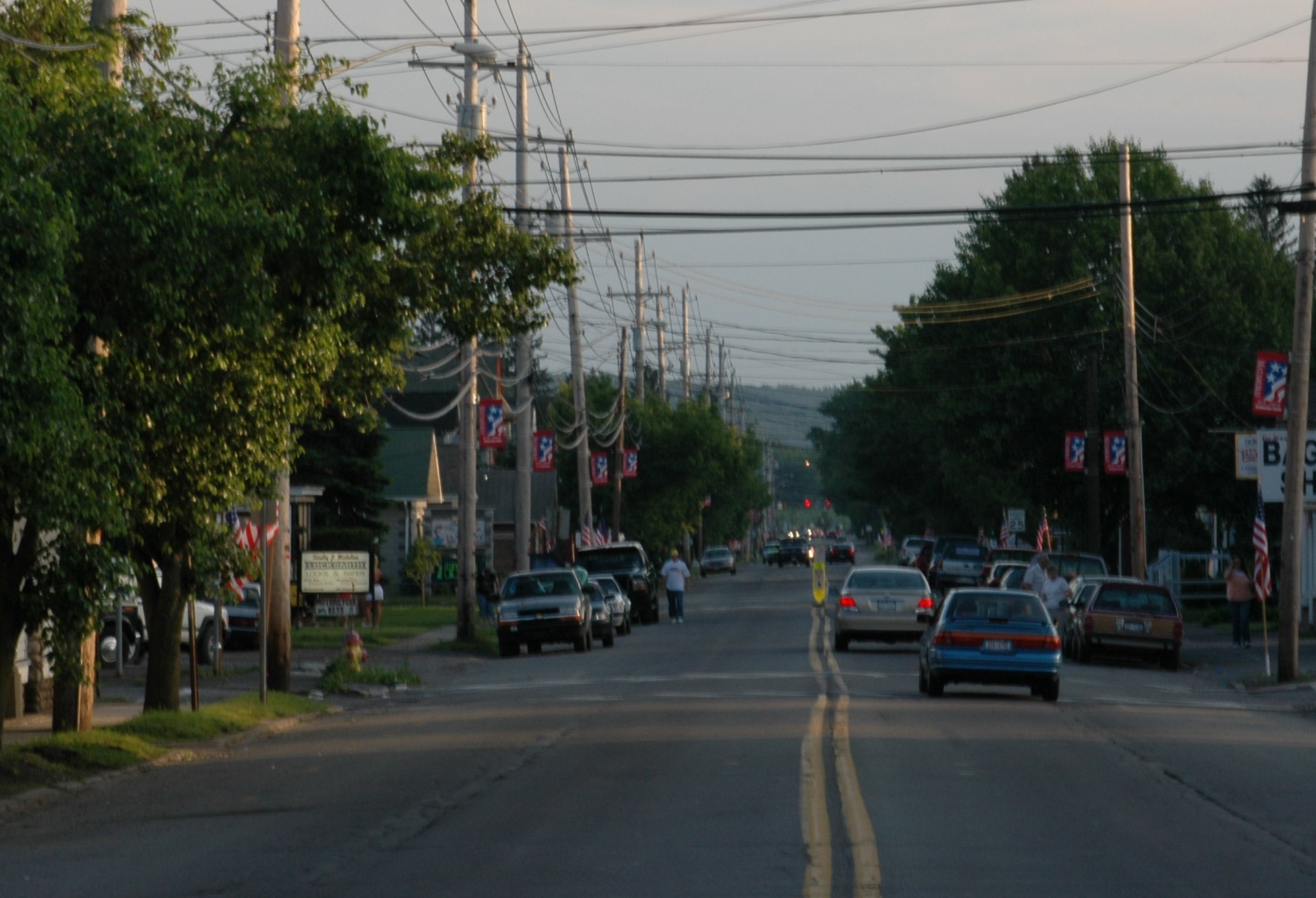
Borough of Matamoras Borough 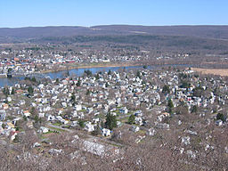 A view of Matamoras from the hills behind the town. Mid-Delaware Bridge connects it to Port Jervis, NY
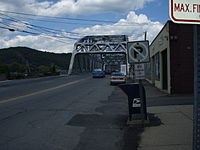
Country United States State Pennsylvania County Pike Elevation 427 ft (130.1 m) Coordinates 41°22′04″N 74°42′07″W / 41.36778°N 74.70194°W Area 0.8 sq mi (2.1 km2) - land 0.7 sq mi (2 km2) - water 0.1 sq mi (0 km2), 12.5% Population 2,469 (2010) Density 3,527.1 / sq mi (1,361.8 / km2) Incorporated January 18, 1905 Mayor Richard Gassmann Timezone EST (UTC-5) - summer (DST) EDT (UTC-4) ZIP code 18336 Area code 570 Exchange: 491 
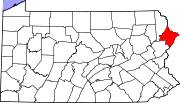
 Location of Matamoras in Pennsylvania
 Location of Pennsylvania in the United States
Website: http://www.matamorasborough.com/ Matamoras is a borough in Pike County, Pennsylvania, United States. The population was 2,469 at the 2010 census. It is the easternmost town in Pennsylvania.
Contents
History
Matamoras was originally part of Westfall Township. Its name came from the Mexican town of Matamoros, which was the first to be occupied by U.S. troops during the Mexican-American War. It was incorporated as a borough on January 18, 1905.[1]
Geography
Matamoras is located at 41°22′4″N 74°42′7″W / 41.36778°N 74.70194°W (41.367818, −74.701831).[2] It is the easternmost point in Pennsylvania. Across the Delaware River are Port Jervis, New York and Montague, New Jersey.
According to the United States Census Bureau, the borough has a total area of 0.8 sq mi. 0.7 sq mi (1.8 km2) of it is land and 0.1 sq mi (0.26 km2) of it (11.54%) is water.
Demographics
As of the census[3] of 2010, there were 2,469 people, 955 households, and 665 families residing in the borough. The population density was 3,527.1/sq mi. There were 1,020 housing units at an average density of 1,457.1 per square mile. The racial makeup of the borough was 93.3% White, 1.4% African American, 0.3% Native American, 1.8% Asian, 0.6% from other races, and 2.7% from two or more races. Hispanic or Latino of any race were 5.5% of the population.
There were 955 households out of which 33.7% had children under the age of 18 living with them, 48.5% were married couples living together, 14.6% had a female householder with no husband present, and 30.4% were non-families. 24.9% of all households were made up of individuals and 12.4% had someone living alone who was 65 years of age or older. The average household size was 2.59 and the average family size was 3.09.
In the borough the population was spread out with 26.2% under the age of 18, 57.8% from 18 to 64, and 16% who were 65 years of age or older. The median age was 39 years.
The median income for a household in the borough was $37,361, and the median income for a family was $45,917. Males had a median income of $32,875 versus $26,176 for females. The per capita income for the borough was $18,946. About 2.4% of families and 4.0% of the population were below the poverty line, including 1.9% of those under age 18 and 7.4% of those age 65 or over.
See also
- Matamoras is the setting for photographer Amy Stein's Domesticated series.[4]
References
- ^ History of Pike County. Pike County, Pennsylvania home page.
- ^ "US Gazetteer files: 2010, 2000, and 1990". United States Census Bureau. 2011-02-12. http://www.census.gov/geo/www/gazetteer/gazette.html. Retrieved 2011-04-23.
- ^ "American FactFinder". United States Census Bureau. http://factfinder2.census.gov. Retrieved 2011-05-14.
- ^ http://www.amysteinphoto.com/domesticated.html
External links
Municipalities and communities of Pike County, Pennsylvania Boroughs Matamoras | Milford
Townships Unincorporated
communitiesBushkill | Dingmans Ferry | Greentown | Lords Valley | Panther | Tafton
Categories:- Populated places established in 1905
- Boroughs in Pike County, Pennsylvania


Wikimedia Foundation. 2010.