St. Davids, Pennsylvania

St. Davids, Pennsylvania

Geobox Settlement
name = St. Davids
native_name =
other_name =
other_name1 =
category =


image_size =
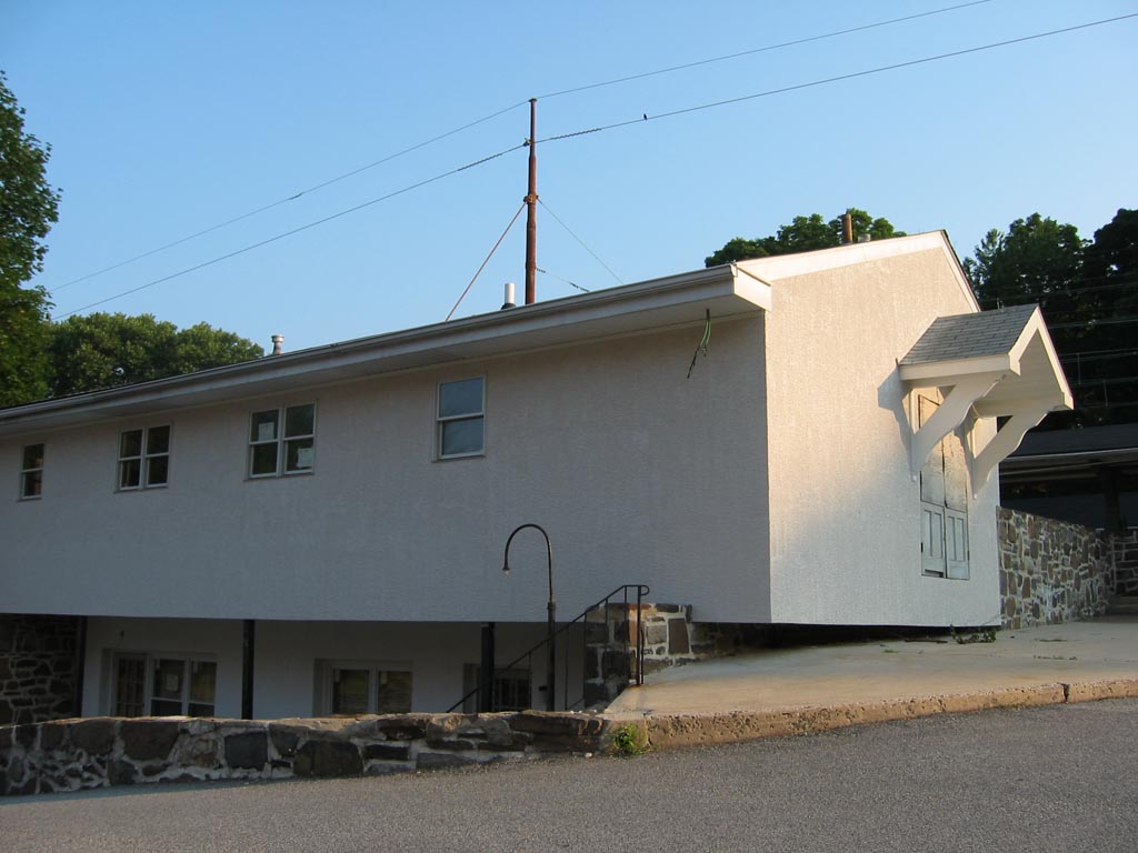
image_caption = St. Davids train station


flag_size =
symbol =
symbol_size =
nickname =
motto =
country = United States
state = Pennsylvania
region_type = County
region = Delaware
district_type = Township
district = Radnor
area_imperial =
area_land_imperial =
area_water_imperial =
area_water_percentage = auto
area_percentage_round = 2
area_round = 1
location =
lat_d = 40
lat_m = 02
lat_s = 27
lat_NS = N
long_d = 75
long_m = 22
long_s = 43
long_EW = W
elevation_imperial = 351
elevation_round = 1
population_as_of =
population =
population_density_imperial =
population_density_round = 1
established_type =
established =
mayor =
timezone = EST
utc_offset = -5
timezone_DST = EDT
utc_offset_DST = -4
postal_code =
postal_code_type =
area_code = 610
area_code_type =
code2_type =
code2 =
free_type =
free =
free1_type =
free1 =


map_size =
map_caption = Location of St. Davids in Pennsylvania
map_locator = Pennsylvania
map1 = Map of USA PA.svg
map1_caption = Location of Pennsylvania in the United States
website =

St. Davids is a community in Radnor Township, Pennsylvania. It is served by its own train station.

The community, on the Pennsylvania Main Line, was named for St. Davids Church, an 18th century church in the area that was in turn named for St. David, the patron saint of Wales (the country of origin of many of the area's first European settlers).

Located near I-476 (The Blue Route) and Lancaster Avenue, St. Davids is about 15 miles from Philadelphia and has recently experienced a large growth spurt, however it is still a quiet residential community which shares a zip code (19087) with the adjacent community of Wayne, Pennsylvania.


Wikimedia Foundation. 2010.

Игры ⚽ Поможем решить контрольную работу

Look at other dictionaries:

  • Pennsylvania Main Line — The Main Line is a collection of affluent towns in the western suburbs of Philadelphia named after the Main Line of the Pennsylvania Railroad (currently Amtrak s Keystone Corridor and SEPTA s R5 line). History The area comprising the Main Line… …   Wikipedia

  • St. David's Episcopal Church (Radnor, Pennsylvania) — St. David’s Church and Graveyard U.S. National Register of Historic Places …   Wikipedia

  • Delaware County, Pennsylvania — A collage of notable places in Delaware County …   Wikipedia

  • Chester, Pennsylvania — Coordinates: 39°50′50″N 75°22′22″W / 39.84722°N 75.37278°W / 39.84722; 75.37278 …   Wikipedia

  • St. Davids (SEPTA station) — Infobox Station name=St. Davids type=SEPTA regional rail image size= image caption= address= coordinates= line= other= structure= platform=2 side platforms levels= tracks=4 parking= bicycle= baggage check= passengers= pass year= pass percent=… …   Wikipedia

  • Media, Pennsylvania — Coordinates: 39°55′08″N 75°23′17″W / 39.91889°N 75.38806°W / 39.91889; 75.38806 …   Wikipedia

  • National Register of Historic Places listings in Delaware County, Pennsylvania — Location of Delaware County in Pennsylvania This is a list of the National Register of Historic Places listings in Delaware County, Pennsylvania. This is intended to be a complete list of the properties and districts on the National Register of… …   Wikipedia

  • Concordville, Pennsylvania — Concordville Historic District U.S. National Register of Historic Places U.S. Historic district …   Wikipedia

  • Chichester, Pennsylvania — Coordinates: 39°50′06″N 75°26′40″W / 39.835°N 75.44444°W / 39.835; 75.44444 …   Wikipedia

  • Chester Heights, Pennsylvania — Coordinates: 39°53′22″N 75°28′15″W / 39.88944°N 75.47083°W / 39.88944; 75.47083 …   Wikipedia

Share the article and excerpts

Direct link
Do a right-click on the link above
and select “Copy Link”