- Pennsylvania Route 143
-
PA Route 143
Route information Maintained by PennDOT Length: 21 mi[1] (34 km) Existed: 1962 – present Major junctions South end:  PA 662 in Richmond Township
OLD  US 22 in Lenhartsville
 I-78 / US 22 near Lenhartsville
 PA 737 in Kempton
 PA 863 in Lynnport
North end:  PA 309 in New Tripoli
Location Counties: Berks, Lehigh Highway system Roads in Pennsylvania
Interstate • US • State • Legislative←  PA 142
PA 144  →
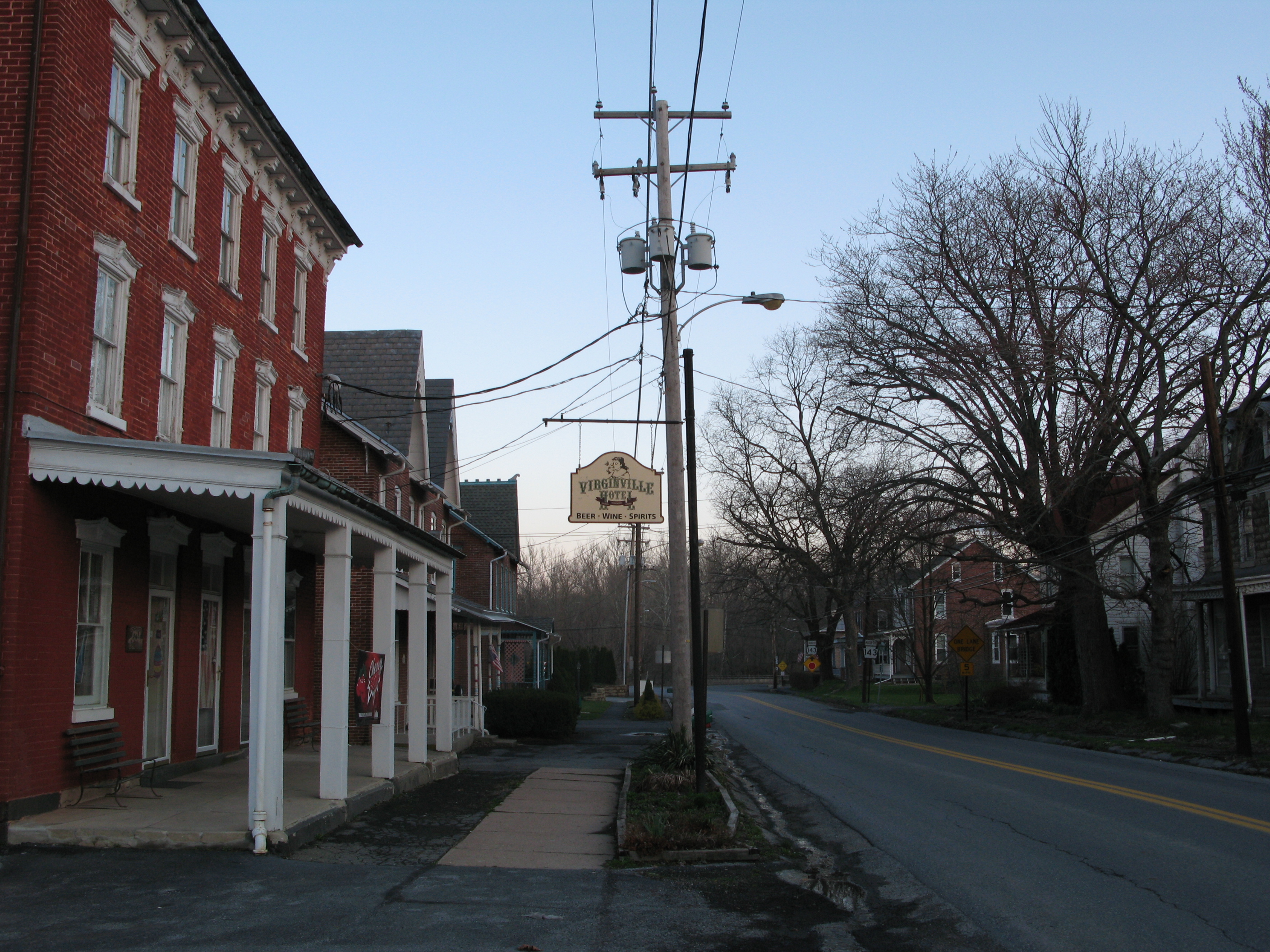
→Pennsylvania Route 143 is a 21-mile (34 km) long state highway in Pennsylvania. It runs from Pennsylvania Route 309 near New Tripoli to Pennsylvania Route 662 in Richmond Township just east of the town of Shoemakersville. It is also known as "Kings Highway" throughout its entire routing. It is also known as Decatur Street through New Tripoli, Willow Street in Lenhartsville, and Virginville Road in the vicinity of Virginville, as well as Main Street through the town of Virginville.
Some popular tourist attractions along the route include Crystal Cave near Virginville, The Wanamakers General Store, Wanamakers, Kempton & Southern (WK&S) Railroad, in Kempton, and Blue Mountain Vineyards, a regional winery, in New Tripoli.
Contents
Route description
Berks County

PA 143 begins at an intersection with PA 662 in Richmond Township, Berks County, heading to the north on two-lane undivided Hard Hill Road. It turns northwest through a mix of hilly farms and woods with some homes, reaching the community of Virginville and becoming Main Street. In Virginville, the road crosses the Maiden Creek into Perry Township, where it runs a short distance to the west of the creek with woods to the east and farm fields to the west as an unnamed road. PA 143 continues through rural surroundings as it passes through Windsor Township and into Greenwich Township. The road enters more wooded surroundings and makes a few sharp turns prior to heading west into Lenhartsville. Here, the road becomes Chestnut Street and passes homes and businesses, making a right turn to the north onto Willow Street as it intersects the former alignment of US 22. Upon leaving Lenhartsville for Greenwich Township again, PA 143 becomes unnamed and reaches an interchange with I-78/US 22. From this point, the road winds north through more forested areas, still running to the west of Maiden Creek. The route enters Albany Township and enters a mix of woods and farms as it comes to an intersection with the northern terminus of PA 737 near the community of Kempton. Following this intersection, the road passes through more rural areas as it runs to the west of Ontelaunee Creek and the Wanamaker, Kempton and Southern Railroad.[2][3]
Lehigh County
PA 143 crosses into Lynn Township, Lehigh County, continuing northeast to the community of Wanamakers as Kings Highway. At this point, the road turns more to the east and passes the terminus of the Wanamaker, Kempton and Southern Railroad and heads into more agricultural areas with some homes. Upon reaching the community of Lynnport, PA 143 comes to the northern terminus of PA 863. From this intersection, the route continues farther east, passing through New Tripoli as Decatur Street before reaching its northern terminus at PA 309.[2][4]
Major intersections
County Location Mile Destinations Notes Berks Richmond Township 0.0 PA 662 (Moselem Springs Road)Southern terminus Greenwich Township I-78 / US 22I-78/US 22 exit 35 Albany Township PA 737 southLehigh Lynn Township PA 863 south (Behler Road) PA 309Northern terminus 1.000 mi = 1.609 km; 1.000 km = 0.621 mi References
- ^ Pennsylvania Highways - Pennsylvania Route 143
- ^ a b Google, Inc. Google Maps – overview of Pennsylvania Route 143 (Map). Cartography by Google, Inc. http://maps.google.com/maps?f=d&source=s_d&saddr=PA+143+and+PA+662&daddr=PA+143+and+PA+309&hl=en&geocode=FRb9aQIdM5Z6-ynbK4twJ9HFiTEjig7gvOsU2Q%3BFSHJbAIdPUJ8-ynh_nat6MrFiTE9_0cP28EKgQ&mra=ls&sll=40.684348,-75.74069&sspn=0.029679,0.084543&ie=UTF8&t=h&z=11. Retrieved 2010-11-25.
- ^ PennDOT (2010). Berks County, Pennsylvania Highway Map (Map). ftp://ftp.dot.state.pa.us/public/pdf/BPR_pdf_files/Maps/GHS/Roadnames/berks_GHSN.PDF. Retrieved 2010-11-25.
- ^ PennDOT (2010). Lehigh County, Pennsylvania Highway Map (Map). ftp://ftp.dot.state.pa.us/public/pdf/BPR_pdf_files/Maps/GHS/Roadnames/lehigh_GHSN.PDF. Retrieved 2010-11-25.
Transportation infrastructure of the Lehigh Valley Interstates U.S. Routes Pennsylvania Routes New Jersey Routes County Routes Named roads/streets Bridges Albertus L. Meyers Bridge · Hill to Hill Bridge · Philip J. Fahy Memorial Bridge · Minsi Trail Bridge · Easton–Phillipsburg Toll Bridge · Northampton Street Bridge · Interstate 78 Toll Bridge
Tunnels Public transportation Lehigh and Northampton Transportation Authority (Bethlehem Loop) · Trans-Bridge Lines · NJ Transit
Airports Waterways Rail Categories:- State highways in Pennsylvania
- Lehigh Valley

Wikimedia Foundation. 2010.