- Pennsylvania Route 10
-
This article is about the current route. For the PA Route 10 in the 1920s, see Pennsylvania Route 10 (1920s)."PA 10" redirects here. PA 10 may also refer to Pennsylvania's 10th congressional district.
PA Route 10
Route information Maintained by PennDOT Length: 43.90 mi[1] (70.65 km) Existed: 1956 – present Major junctions South end:  PA 472 in Oxford
 US 1 near Oxford
 PA 41 in Cochranville
 US 30 near Parkesburg
 US 322 in Honey Brook


 I-76/PA Tpk./I-176 in Morgantown
I-176 in Robeson TownshipNorth end: 

 US 222 BUS in Reading
Location Counties: Berks, Chester, Lancaster Highway system Roads in Pennsylvania
Interstate • US • State • Legislative←  PA 9
PA 9US 11  →
→Pennsylvania Route 10 (PA 10) is a 43-mile (69 km) long state route in southeastern Pennsylvania. PA 10 runs parallel to Interstate 176 for less than 13 miles (21 km) near Morgantown. Its southern terminus is at Pennsylvania Route 472 in Oxford. Its northern terminus is at U.S. Route 222 Business in Reading.
Contents
Route description
Chester County
PA 10 begins at the intersection with PA 472 in the borough of Oxford on Third Street. Upon exiting the borough, the highway becomes Limestone Road. Near Wyncote Golf Club, PA 10 interchanges U.S. Route 1. The route proceeds northeast through the plains of Chester County, running east of the golf club. In the hamlet of Russellville, PA 10 intersects Newark Road, signed as PA 896. Briefly north, PA 10 intersects PA 926. The road then intersects PA 41 in Cochranville.
After crossing Russellville, the highway runs predominantly north through more agricultural sections of the county. Upon entering Parkesburg as Church Street, PA 10 intersects PA 372 in the downtown district. North of Parkesburg, the highway is known as the Octorara Trail. In the village of West Sadsbury, PA 10 intersects historic Lincoln Highway (U.S. Route 30).
North of US 30, PA 10 proceeds northward, through more hilly sections of Chester County. In the hamlet of Compass, the route overlaps PA 340 for about two blocks. After PA 340, PA 10 proceeds northeast, then northward as Compass Road. The road traverses the town of Honey Brook as Conestoga Avenue, intersecting U.S. Route 322 in downtown. North of Honey Brook, PA 10 continues northward, crossing the low elevated Welsh Mountain as Twin County Road.[2]
Lancaster and Berks Counties
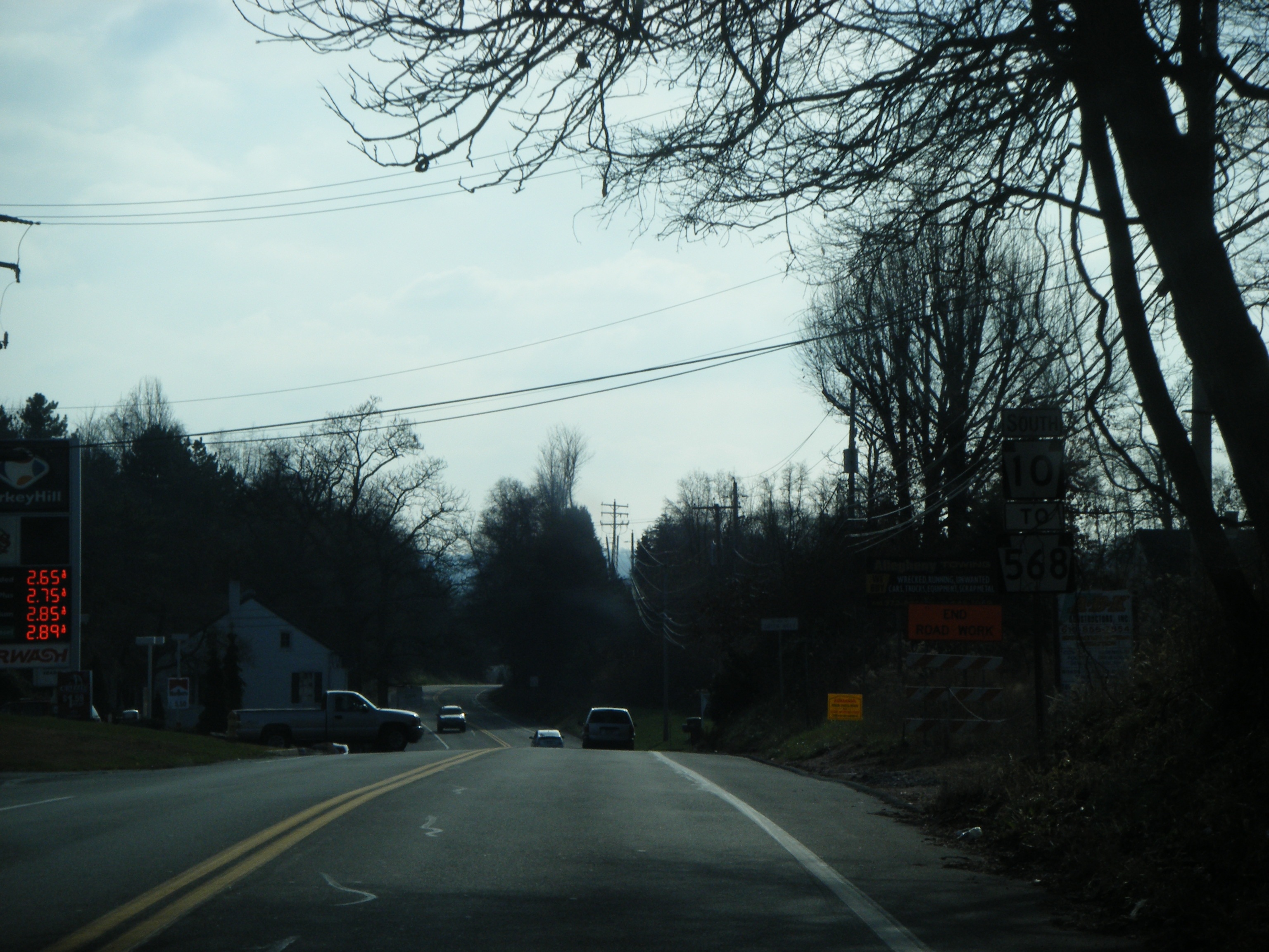
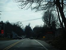 PA 10 southbound past the ramp to southbound I-176 in Robeson Township
PA 10 briefly enters Lancaster County as Twin County Road. 2 miles (3.2 km) west of Morgantown, PA 10 turns east to begin a concurrency with PA 23 on Main Street.
West of Morgantown, a grade-level intersection with the Interstate 176 spur provides access to and from Reading only. The two routes cross the town as Main Street. PA 10 turns north onto Reading Road to leave Main Street and PA 23. The road curves east to interchange I-176, at exit 1, and I-76 (Pennsylvania Turnpike), at exit 298. PA 10 proceeds northward as Reading Road paralleling I-176 for most of the rest of its routing.
North of Plowville, PA 10 becomes Morgantown Road paralleling I-176 to the west closely. Near Green Hills Lake, PA 10 briefly overlaps PA 568 for about a block. North of 568, the highway interchanges I-176, at exit 7 near Flying Hills Golf Club. South of the Schuylkill River course, PA 10 overlaps Pennsylvania Route 724 for a block. Upon entering the city of Reading, PA 10 parallels the U.S. Route 422 expressway before ending at U.S. Route 222 Business at the intersection with Lancaster Avenue.[2]
History
PA 10 was first signed from 1927 to 1928 on the current U.S. Route 119 alignment between DuBois and Blairsville.[3] In the 1927 numbering, when the Pennsylvania Department of Highways signed many two-digit state routes, the entire PA 10 alignment was designated as Pennsylvania Route 42.[4][5]
From 1935 to the late 1950s, the route was signed as U.S. Route 122 for most its entire length. The current PA 10 was signed in 1956 from Morgantown to Oxford and US 122 was truncated from Reading to Morgantown. Then in 1963, US 122 was decommissioned and PA 10 replaced it from Pennsylvania Route 23 to its current location.[6][7][8]
Major intersections
County Location Mile[1] Destinations Notes Chester Oxford 0.00 PA 472 (Pine Street, North Third Street)Southern terminus Lower Oxford Township 1.66 US 1 (Kennett Oxford Bypass)Interchange Upper Oxford Township 4.57  PA 896 (Newark Road)
5.08  PA 926 (Street Road)
Western terminus of PA 926 West Fallowfield Township 8.43 PA 41 (Gap Newport Pike)Village of Cochranville Parkesburg 13.53  PA 372 (First Avenue)
West Sadsbury Township 15.59 US 30 (Lincoln Highway)West Caln Township 18.54  PA 340 east (West Kings Highway)
Southern terminus of concurrency 18.69 PA 340 west (West Kings Highway)Northern terminus of concurrency Honey Brook 24.50 US 322 (Horseshoe Pike)Lancaster Caernarvon Township 28.98  PA 23 west (Main Street)
Southern terminus of concurrency Berks Morgantown 29.64 PA 23 east (Main Street)Northern terminus of concurrency Caernarvon Township 30.58 I-176 to I-76 / Penna. Tpk.Southern terminus of I-176; exit 1 (I-176); exit 298 (Morgantown Exit) (I-76/PA Turnpike) Robeson Township 37.86  PA 568 east (Green Hills Road)
Southern terminus of concurrency 37.93 PA 568 west (Kurtz Mill Road)Northern terminus of concurrency 38.99 I-176Exit 7 (I-176) Cumru Township 41.73  PA 724 west (Philadelphia Avenue)
Southern terminus of concurrency 41.82 PA 724 east (Philadelphia Avenue)Northern terminus of concurrency Reading 43.90 
US 222 Bus. (East Lancaster Avenue)Northern terminus 1.000 mi = 1.609 km; 1.000 km = 0.621 mi References
- ^ a b DeLorme Street Atlas USA 2007 software, Toggle Measure Tool
- ^ a b PennDOT (2007). Pennsylvania Tourism and Transportation Map (Map). ftp://ftp.dot.state.pa.us/public/pdf/BPR_PDF_FILES/MAPS/Statewide/otm/2007/otm_2007.PDF. Retrieved 2007-12-28.
- ^ Pennsylvania Department of Highways (1929). Pennsylvania Highway map (Map). http://filebox.vt.edu/users/bharper/roads/PA1929.jpg. Retrieved 2007-12-28.
- ^ Gulf Oil (1926). Pennsylvania Highway map (eastern) (Map). http://www.mapsofpa.com/art5pics/251c.jpg. Retrieved 2007-12-28.
- ^ Pennsylvania Department of Highways (1927). Pennsylvania Highway map (Map). http://www.mapsofpa.com/roadcart/1927_2043m.jpg. Retrieved 2007-12-28.
- ^ Pennsylvania Department of Highways (1941). Chester County Map (Sheet 1) (Map). ftp://ftp.dot.state.pa.us/public/pdf/BPR_PDF_FILES/Maps/Type_10_GHS_Historical_Scans/Chester_1941_Sheet_1.pdf. Retrieved 2007-12-28.
- ^ Pennsylvania Department of Highways (1962). Lancaster County Map (Sheet 1) (Map). ftp://ftp.dot.state.pa.us/public/pdf/BPR_PDF_FILES/Maps/Type_10_GHS_Historical_Scans/Lancaster_1962_Sheet_1.pdf. Retrieved 2007-12-28.
- ^ Pennsylvania Department of Highways (1966). Berks County Map (Sheet 1) (Map). ftp://ftp.dot.state.pa.us/public/pdf/BPR_PDF_FILES/Maps/Type_10_GHS_Historical_Scans/Berks_1966_Sheet_1.pdf. Retrieved 2007-12-28.
External links
Categories:- State highways in Pennsylvania

Wikimedia Foundation. 2010.