- Leesport, Pennsylvania
Geobox Borough
name = Borough of Leesport
native_name =
other_name =
other_name1 =
category = Borough
image_size =
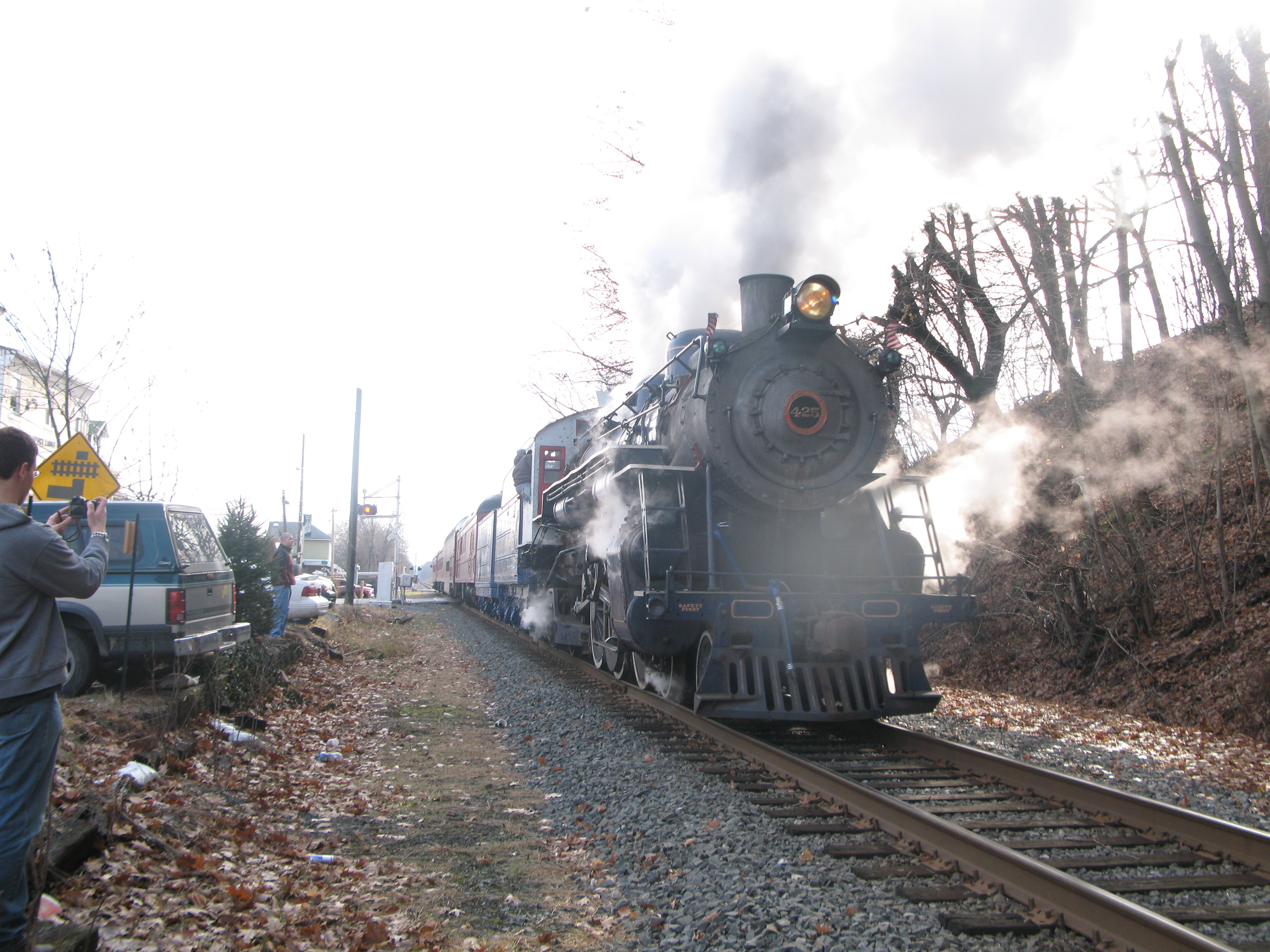
image_caption = The historicReading Railroad in Leesport
flag_size =
symbol =
symbol_size =
country = United States
state = Pennsylvania
region = Berks
region_type = County
district =
area_imperial = 0.8
area_land_imperial = 0.7
area_water_imperial = 0.04
area_round = 1
location =
lat_d = 40
lat_m = 26
lat_s = 38
lat_NS = N
long_d = 75
long_m = 58
long_s = 05
long_EW = W
elevation_imperial = 299
elevation_round = 1
population_as_of = 2000
population = 1805
population_density_imperial = 2507.9
population_density_round = 1
established_type =
established =
mayor =
timezone = EST
utc_offset = -5
timezone_DST = EDT
utc_offset_DST = -4
postal_code_type =zip code
postal_code = 19533
area_code = 610
area_code_type =
code2_type =
code2 =
free_type =
free =
free1_type =
free1 =

map_size =
map_caption = Location of Leesport in Pennsylvania
map_locator = Pennsylvania
map1 = Map of USA PA.svg
map1_caption = Location of Pennsylvania in the United States
website =Leesport is a borough in Berks County,
Pennsylvania ,United States . The population was 1,805 at the 2000 census.Geography
Leesport is located at coor dms|40|26|38|N|75|58|5|W|city (40.443893, -75.968137)GR|1.
According to the
United States Census Bureau , the borough has a total area of 0.8square mile s (1.9km² ), of which, 0.7 square miles (1.9 km²) of it is land and 0.04 square miles (0.1 km²) of it (4.00%) is water.Demographics
As of the
census GR|2 of 2000, there were 1,805 people, 695 households, and 499 families residing in the borough. Thepopulation density was 2,507.9 people per square mile (967.9/km²). There were 718 housing units at an average density of 997.6/sq mi (385.0/km²). The racial makeup of the borough was 98.23% White, 0.33% African American, 0.17% Native American, 0.11% Asian, 0.78% from other races, and 0.39% from two or more races. Hispanic or Latino of any race were 1.55% of the population.There were 695 households out of which 36.5% had children under the age of 18 living with them, 56.3% were married couples living together, 10.5% had a female householder with no husband present, and 28.1% were non-families. 22.4% of all households were made up of individuals and 8.8% had someone living alone who was 65 years of age or older. The average household size was 2.60 and the average family size was 3.01.
In the borough the population was spread out with 27.0% under the age of 18, 7.8% from 18 to 24, 34.3% from 25 to 44, 19.2% from 45 to 64, and 11.6% who were 65 years of age or older. The median age was 35 years. For every 100 females there were 98.1 males. For every 100 females age 18 and over, there were 91.4 males.
The median income for a household in the borough was $47,067, and the median income for a family was $51,761. Males had a median income of $36,453 versus $25,833 for females. The
per capita income for the borough was $20,148. About 2.2% of families and 4.0% of the population were below thepoverty line , including 2.6% of those under age 18 and 9.3% of those age 65 or over.When used as a mailing address, Leesport (
ZIP Code 19533) also includesOntelaunee Township and portions of BernTownship .Leesport is known for the [http://www.leesportmarket.com" Leesport Farmers Market] . The Leesport Historical Society website can be found at [http://www.leesportareahistory.org"Leesport Historical Society]
Current Government and School District
The area is served by the
Schuylkill Valley School District .Emergency services are provided by the Northern Berks Regional Police Department, Union Fire Company of Leesport, and Schuylkill Valley EMS all of which are dispatched by the Berks County Communications Center.
References
Wikimedia Foundation. 2010.