- Cumru Township, Berks County, Pennsylvania
-
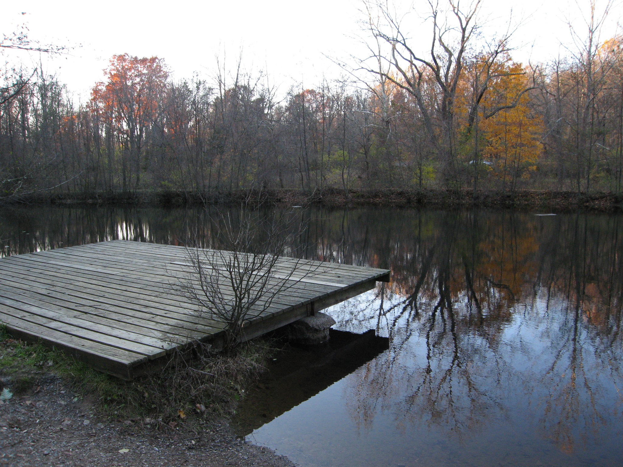
Cumru Township Township  Nolde Forest Environmental Education Center
Country United States State Pennsylvania County Berks Elevation 459 ft (139.9 m) Coordinates 40°17′37″N 75°57′16″W / 40.29361°N 75.95444°W Area 20.9 sq mi (54.1 km2) - land 20.7 sq mi (54 km2) - water 0.2 sq mi (1 km2), 0.96% Population 15,147 (2010) Density 668.0 / sq mi (257.9 / km2) Timezone EST (UTC-5) - summer (DST) EDT (UTC-4) Area code 610 
 Location of Cumru Township in Pennsylvania
 Location of Pennsylvania in the United States
Website: http://www.cumrutownship.com Cumru Township (pronounced "KOOM-roo") is a township in Berks County, Pennsylvania, United States. The population was 15,147 at the 2010 census. The name is Welsh in origin, likely from "Cymru" the Welsh name for Wales.[citation needed] Nolde Forest Environmental Education Center a Pennsylvania state park is in Cumru Township.
Contents
Geography
According to the United States Census Bureau, the township has a total area of 20.9 square miles (54 km2), of which, 20.7 square miles (54 km2) of it is land and 0.2 square miles (0.52 km2) of it (1.15%) is water.
Adjacent townships
- Lower Alsace Township (northeast)
- Exeter Township (northeast)
- Robeson Township (east)
- Brecknock Township (south)
- Spring Township (west)
Adjacent city and boroughs
- Reading (north)
- Wyomissing (north)
- Shillington (north)
- Kenhorst (north)
- Mohnton (surrounded)
Demographics
As of the census[1] of 2000, there were 13,816 people, 5,941 households, and 3,808 families residing in the township. The population density was 668.0 people per square mile (257.9/km²). There were 6,127 housing units at an average density of 296.3/sq mi (114.4/km²). The racial makeup of the township was 93.84% White, 1.92% African American, 0.06% Native American, 1.88% Asian, 0.04% Pacific Islander, 1.27% from other races, and 0.99% from two or more races. Hispanic or Latino of any race were 2.82% of the population.
There were 5,941 households out of which 24.1% had children under the age of 18 living with them, 54.6% were married couples living together, 6.8% had a female householder with no husband present, and 35.9% were non-families. 28.8% of all households were made up of individuals and 12.5% had someone living alone who was 65 years of age or older. The average household size was 2.27 and the average family size was 2.81.
In the township the population was spread out with 19.0% under the age of 18, 7.1% from 18 to 24, 26.9% from 25 to 44, 27.4% from 45 to 64, and 19.7% who were 65 years of age or older. The median age was 43 years. For every 100 females there were 92.2 males. For every 100 females age 18 and over, there were 89.5 males.
The median income for a household in the township was $50,103, and the median income for a family was $58,161. Males had a median income of $42,108 versus $27,701 for females. The per capita income for the township was $28,996. About 1.4% of families and 4.4% of the population were below the poverty line, including 3.1% of those under age 18 and 5.1% of those age 65 or over.
References
- ^ "American FactFinder". United States Census Bureau. http://factfinder.census.gov. Retrieved 2008-01-31.
External links
Municipalities and communities of Berks County, Pennsylvania City 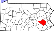
Boroughs Adamstown‡ | Bally | Bechtelsville | Bernville | Birdsboro | Boyertown | Centerport | Fleetwood | Hamburg | Kenhorst | Kutztown | Laureldale | Leesport | Lenhartsville | Lyons | Mohnton | Mount Penn | New Morgan | Robesonia | St. Lawrence | Shillington | Shoemakersville | Sinking Spring | Strausstown | Topton | Wernersville | West Reading | Womelsdorf | Wyomissing
Townships Albany | Alsace | Amity | Bern | Bethel | Brecknock | Caernarvon | Centre | Colebrookdale | Cumru | District | Douglass | Earl | Exeter | Greenwich | Heidelberg | Hereford | Jefferson | Longswamp | Lower Alsace | Lower Heidelberg | Maidencreek | Marion | Maxatawny | Muhlenberg | North Heidelberg | Oley | Ontelaunee | Penn | Perry | Pike | Richmond | Robeson | Rockland | Ruscombmanor | South Heidelberg | Spring | Tilden | Tulpehocken | Union | Upper Bern | Upper Tulpehocken | Washington | Windsor
CDPs Unincorporated
communitiesAlbany | Alleghenyville | Alsace Manor | Amityville | Barto | Basket | Baumstown | Beckersville | Berne | Bethel | Blandon | Bowers | Boyers Junction | Breezy Corner | Brownsville | Chapel‡ | Clayton | Dale | Dauberville | Douglassville | Dreibelbis | Dryville | Eckville | Edenburg | Eshbach | Evansville | Five Points | Fredericksville | Fritztown | Frystown | Geigertown | Gibraltar | Gouglersville | Greenawald | Grill | Grimville | Hancock | Harlem | Henningsville | Hereford | Hinterleiter | Host | Huffs Church | Hyde Park | Jacksonwald | Jalappa | Joanna | Joanna Heights | Kempton | Kempville | Kirbyville | Klinesville | Knauers | Krumsville | Kulptown | Landis Store | Leinbachs | Limekiln | Lincoln Park | Lobachsville | Longswamp | Manatawny | Maple Grove | Maxatawny | Mertztown | Mohrsville | Molltown | Montello | Monterey | Morgantown | Morysville | Moselem | Moselem Springs | Mount Aetna | New Hensingersville‡ | New Jerusalem | North Heidelberg | Pine Waters | Pleasant Valley | Pleasantville | Plowville | Pricetown | Quaker City | Rehrersburg | Rittenhouse Gap | Sally Ann | Scarlets Mill | Seisholtzville | Shartlesville | South Temple | State Hill | Stony Run | Stouchsburg | Temple | Trexler | Unionville | Vinemont | Virginville | Walnuttown | Weavertown | West Hamburg | West Lawn | Windsor Castle | Wintersville | Woodchoppertown | Wyomissing Hills | Yellow House
Footnotes ‡This populated place also has portions in an adjacent county or counties
Categories:- Townships in Berks County, Pennsylvania


Wikimedia Foundation. 2010.