- Little Indian Creek Wildlife Management Area
Geobox|Protected Area
name = Little Indian Creek Wildlife Management Area
native_name =
other_name =
other_name1 =
category = West Virginia Wildlife Management Area
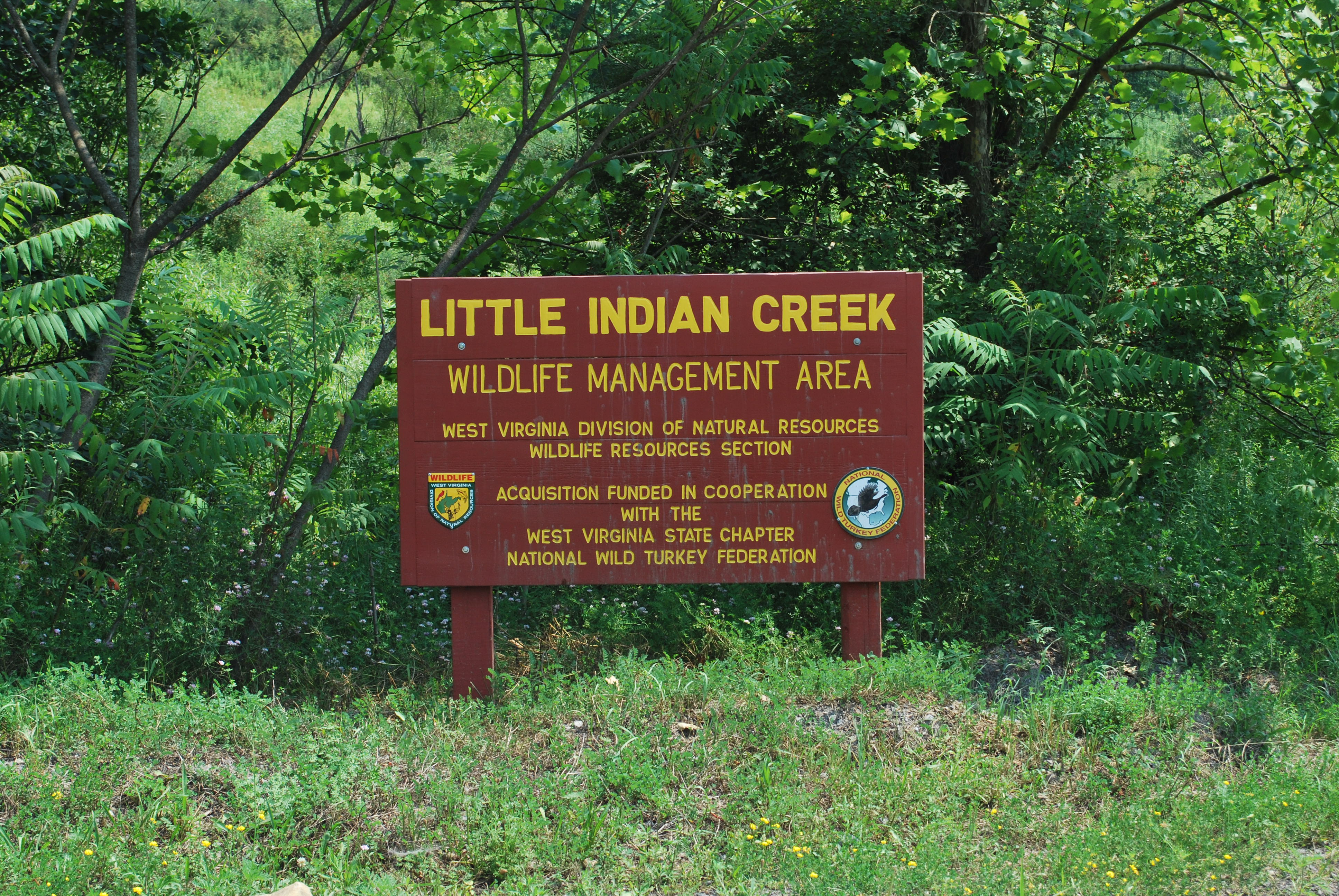
image_caption = Little Indian Creek WMA sign
etymology_type =
etymology =
country = United States
country_
state = West Virginia
state_
region_type = County
region = Monongalia
district_type =
district =
district1 =
district2 =
city =
city1 =
location =
lat_d = 39
lat_m = 36
lat_s = 14
lat_NS = N
long_d = 80
long_m = 04
long_s = 07
long_EW = W
elevation_imperial = 1000
elevation_round = 1
area_unit = acre
area_imperial = 1036
area_round = 1
area_note = [http://www.wvdnr.gov/Hunting/D1WMAareas.shtm WVDNR District 1 Wildlife Management Areas, Accessed April 1, 2008] ]
area1_imperial =
area1_type =
length_imperial =
length_orientation =
width_imperial =
width_orientation =
highest =
highest location =
highest_lat_d =
highest_lat_m =
highest_lat_s =
highest_lat_NS =
highest_long_d =
highest_long_m =
highest_long_s =
highest_long_EW =
highest_elevation_imperial =
lowest =
lowest_location =
lowest_lat_d =
lowest_lat_m =
lowest_lat_s =
lowest_lat_NS =
lowest_long_d =
lowest_long_m =
lowest_long_s =
lowest_long_EW =
lowest_elevation_imperial =
biome =
biome_share =
biome1 =
biome1_share =
geology =
geology1 =
plant =
plant1 =
animal =
animal1 =
established_type = Established
established = 2006
established_note = [http://www.wvdnr.gov/2007news/07news098.shtm " Gov. Manchin Dedicates Little Indian Creek Wildlife Management Area And New Facilities at Pedlar Wildlife Management Area In Monongalia County", accessed April 1, 2008] ]
established1_type = Dedicated
established1 =2007-06-27
established1_note =
owner = West Virginia Division of Natural Resources, Wildlife Resources Section
management_location =
management_lat_d =
management_lat_m =
management_lat_s =
management_lat_NS =
management_long_d =
management_long_m =
management_long_s =
management_long_EW =
management_elevation =
visitation =
visitation_year =
free_type = Nearest city
free_label = Nearest city
free = Westover,West Virginia
free1_type =
free1 =

map_caption = Location of Little Indian Creek Wildlife Management Area in West Virginia
map_locator = West Virginia
map_first =
website = [http://www.wvdnr.gov/Hunting/D1WMAareas.shtm WVDNR District 1 Wildlife Management Areas]
commons = Little Indian Creek Wildlife Management AreaLittle Indian Creek Wildlife Management Area is located on convert|1036|acre southwest of Westover in Monongalia County,
West Virginia . The wildlife management area is centered reclaimed former coal mine land along Little Indian Creek, a tributary of theMonongahela River .Little Indian Creek WMA was purchased at a cost of $388,500 in late 2006. Governor Joe Manchin dedicated the area on
2005-06-27 .References
External links
* [http://www.wvdnr.gov/Hunting/D1WMAareas.shtm West Virginia DNR District 1 Wildlife Management Areas]

Wikimedia Foundation. 2010.