- Holly River State Park
Geobox|Protected Area
name = Holly River State Park
native_name =
other_name =
other_name1 =
category = West Virginia State Park
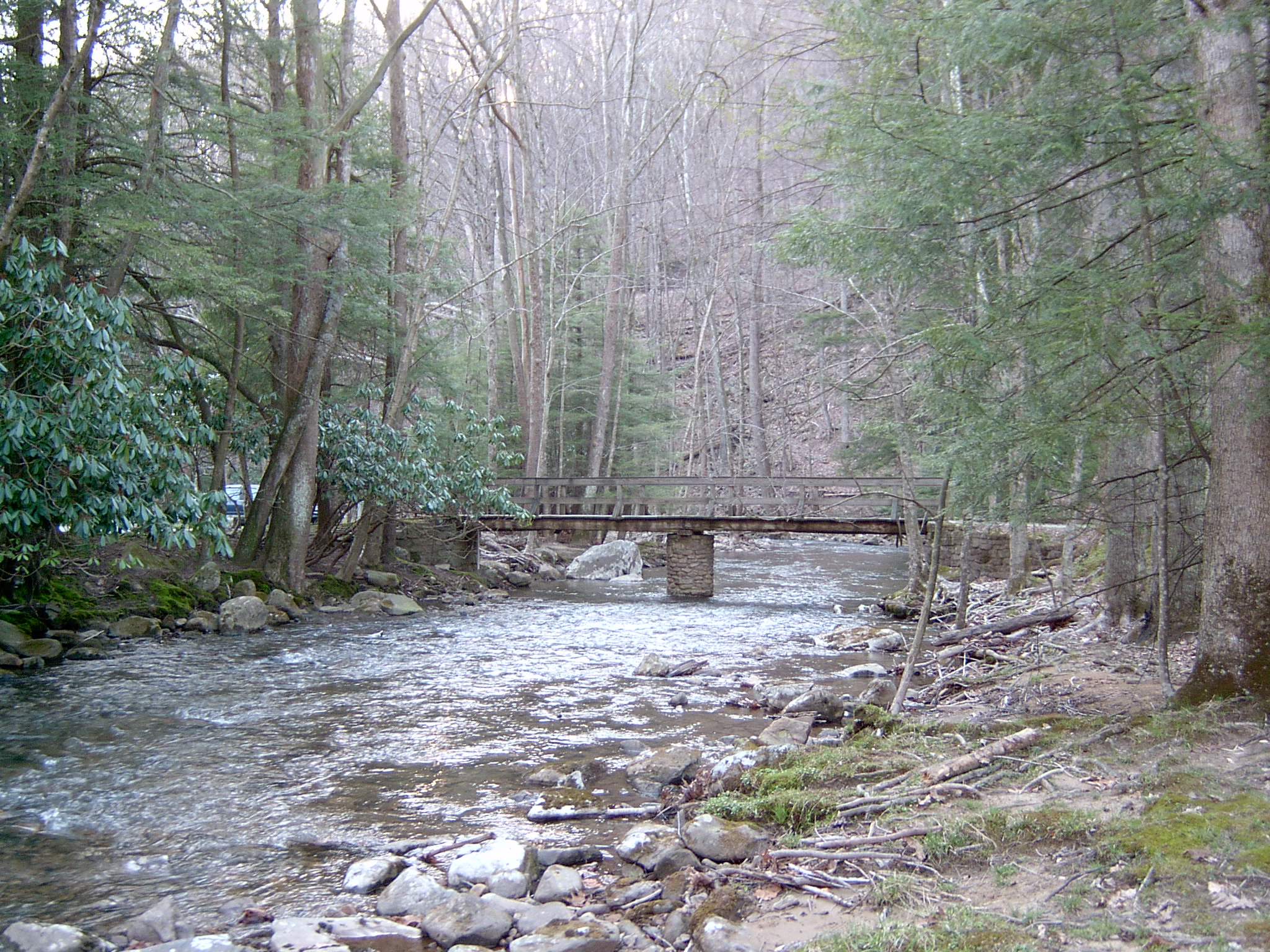
image_caption = Laurel Fork Holly River
etymology_type =
etymology =
country = United States
country_
state = West Virginia
state_
region_type = County
region = Webster
district_type =
district =
district1 =
district2 =
city =
city1 =
location =
lat_d = 38
lat_m = 39
lat_s = 59
lat_NS = N
long_d = 80
long_m = 19
long_s = 37
long_EW = W
elevation_imperial = 2467
elevation_round = 1
area_unit = acre
area_imperial = 8294
area_round = 1
area_note = [http://www.wvstateparks.com/recreation/WVSP_facilities_grid.PDF West Virginia State Parks Facilities Grid, accessed March 29, 2008] ]
area1_imperial =
area1_type =
length_imperial =
length_orientation =
width_imperial =
width_orientation =
highest =
highest location =
highest_lat_d =
highest_lat_m =
highest_lat_s =
highest_lat_NS =
highest_long_d =
highest_long_m =
highest_long_s =
highest_long_EW =
highest_elevation_imperial =
lowest =
lowest_location =
lowest_lat_d =
lowest_lat_m =
lowest_lat_s =
lowest_lat_NS =
lowest_long_d =
lowest_long_m =
lowest_long_s =
lowest_long_EW =
lowest_elevation_imperial =
biome =
biome_share =
biome1 =
biome1_share =
geology =
geology1 =
plant =
plant1 =
animal =
animal1 =
established_type = Established
established = 1938
established_note = cite book|title=Where People and Nature Meet: A History of the West Virginia State Parks|publisher=Pictorial Histories Publishing Company|location=Charleston,West Virginia |date=April 1988|isbn=0-933126-91-3]
established1_type = Land leased from USDA
established1 = 1939
established1_note =
owner =West Virginia Division of Natural Resources
management_location =
management_lat_d =
management_lat_m =
management_lat_s =
management_lat_NS =
management_long_d =
management_long_m =
management_long_s =
management_long_EW =
management_elevation =
visitation =
visitation_year =
free_type = Nearest city
free_label = Nearest city
free = Webster Springs,West Virginia
free1_type =
free1 =

map_caption = Location of Holly River State Park in West Virginia
map_locator = West Virginia
map_first =
website = [http://www.hollyriver.com Holly River State Park]Holly River State Park is located in Webster County,
West Virginia onWV 20 , convert|32|mi|km south of Buckhannon and convert|20|mi|km north of Webster Springs. It is the largest park in theWest Virginia state park system with a total of convert|8294|acre. It features an 88 unitcampground that has electric hookups, picnic tables, and grills at each site.Accessibility
Accessibility for thedisable d was assessed byWest Virginia University . The assessment found the campground, picnic shelters, swimming pool, and playground to be accessible. [ [http://www.cedwvu.org/programs/realchoice/recreation/ "Guide to Accessible Recreation and Travel in WV", WVU Center for Excellence in Disabilities web site, accessed July 31, 2006] ] During the 2005 assessment some issues were identified concerning signage and slippery stairways.ee also
*
List of West Virginia state parks
*Holly River (West Virginia)
*State park References
External links
* [http://www.hollyriver.com/ Holly River State Park website]

Wikimedia Foundation. 2010.