- Gambrill State Park
Infobox_protected_area | name = Gambrill State Park, Maryland, USA
iucn_category = V
caption =
locator_x =
locator_y =
location =
nearest_city =
lat_degrees = 39
lat_minutes = 28
lat_seconds = 24
lat_direction = N
long_degrees = 77
long_minutes = 29
long_seconds = 31
long_direction = W
area = 1,137 acres (4.60 km²)
established =
visitation_num =
visitation_year =
governing_body =Maryland Department of Natural Resources Gambrill State Park is located just outside
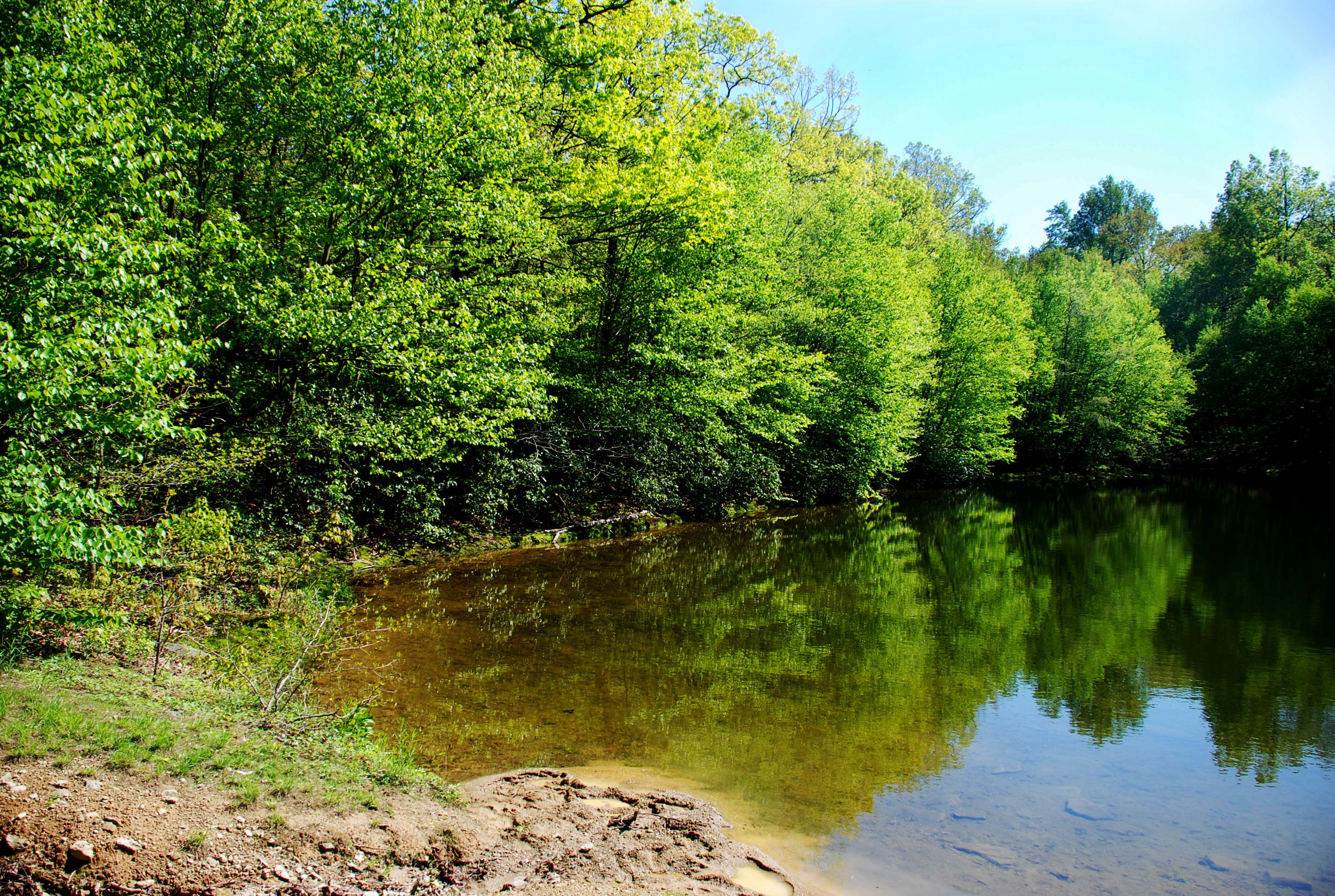
Frederick, Maryland in the easternUnited States . This park has several hiking trails and is a popular destination for area mountain bikers. There is also a picnic area with a playground and a small pond. Fishing is permitted at the pond.Location
Gambrill State Park is approximately 51 miles (82 km) northwest of
Washington, D.C. and 53 miles (85 km) west of Baltimore onCatoctin Mountain . Gambrill Park Road is located approximately six miles (10 km) away from Frederick on Route 40 West. The park road traverses Catoctin Mountain, and accesses the campground, the trailhead, and the High Knob areas of this park.History
Gambrill State Park has its beginnings when conservationists of Frederick County purchased a tract of land on
Catoctin Mountain and donated it to the City of Frederick to be used for a municipal mountain park. OnSeptember 7 ,1934 , the City presented the area to the State for use as a state park, which was later named to honor the late James H. Gambrill, Jr., a Frederick resident and advocate of the conservation of natural resources.Surrounding areas
Three native stone overlooks, strategically located on the 1600-foot (490 m) summit of High Knob, midway between the
Mason-Dixon Line and thePotomac River , offer views of the surrounding area. On a clear day, looking north, a visitor can see the rugged tree-covered mountains of the Frederick City Municipal Forest. Looking south, one can seeCrampton's Gap , a Civil War landmark and the site ofGathland State Park , and the Middletown and Monocacy Valleys. South Mountain, where many engagements between Confederate and Union troops took place during the Civil War, can be seen to the West.Hiking trails
Gambril State Park hosts several hiking trails that go up and through Catoctin Mountain. Each trail is blazed, and each is maintained by a different area volunteer group. Descriptions below are adapted from the official trail guide offered by the State of Maryland.
White Oak Trail - white blaze (1 mile – 1.6 kilometers) This trail is open only to hikers (no mountain bikes).
Red Maple Trail - red blaze (1 mile – 1.8 kilometers) This trail connects the campground area with the rest of the park. One short section of the trail is somewhat steep. The trail is maintained by The Trail House, an outdoor store in Frederick.
Green Ash Trail - green blaze (2.0 miles – 3.2 kilometers) There are several steep slopes and very little level ground on this trail. The trail is maintained by Wheel Base, a bike shop in Frederick.
Black Locust Trail - black-on-white blaze (3.3 miles – 5.3 kilometers) This trail features several steep slopes mixed with fairly level areas. This trail truly shows the beauty of Gambrill State Park from its wooded slopes to the views of both Frederick Valley to the east and Middletown Valley to the west. The trail is maintained by the Potomac Appalachian Trail Club, West Virginia Chapter.
Yellow Poplar Trail - yellow blaze (7.1 miles – 7.4 kilometers) The longest of the Gambrill Trails. Hikers who have several hours can enjoy the beauty of nature. Bringing you up the mountain and out into the far reaches of the park, the trail passes two stone overlooks built by the
Civilian Conservation Corps in the 1930's. The trail is maintained by M.O.R.E. (Mid-Atlantic Off Road Enthusiasts).Catoctin Trail - blue blaze (26.5 miles – 42.4 kilometers) This trail traverses Gambrill State Park for approximately convert|3.0|mi|km|1, and continues north through theFrederick City Watershed ,Cunningham Falls State Park , andCatoctin Mountain Park (CMP). The trail ends at Mt. Zion Road, convert|1.3|mi|km|1 north of Owens Creek Campground in CMP. Along the trail within Gambrill State Park, camping is permitted only at the Rock Run Campground.External links
* [http://www.dnr.state.md.us/publiclands/western/gambrill.html Gambrill State Park]
* [http://www.dnr.state.md.us/publiclands/gambrillguide.html Gambrill Trail Guide]
Wikimedia Foundation. 2010.