- Conococheague Creek
-
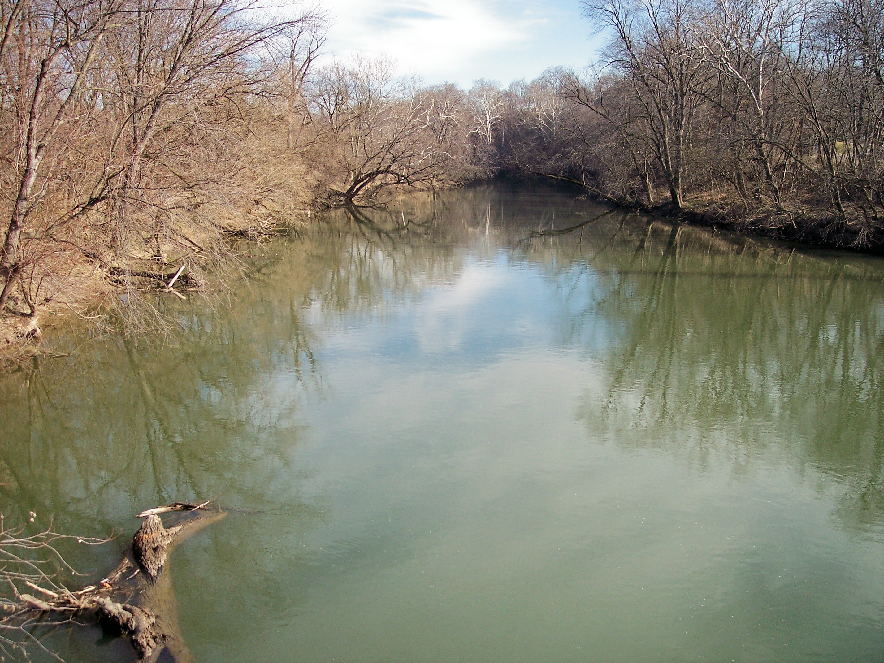
 Conococheague Creek near its mouth in Williamsport, Maryland, as viewed upstream from an aqueduct on the towpath trail in the Chesapeake and Ohio Canal National Historical Park
Conococheague Creek, a tributary of the Potomac River, is a free-flowing stream that originates in Pennsylvania and empties into the Potomac River near Williamsport, Maryland. It is 80 miles (129 km) in length,[1] with 57 miles (92 km) in Pennsylvania and 23 miles (37 km) in Maryland. The watershed of Conococheague Creek has an area of approximately 566 square miles (1,470 km2), out of which only 65 square miles (170 km2) (12% of the area) are in Maryland.
The word "Conococheague" is translated from the Delaware Indian spoken language to mean "Water of many turns". The Conococheague, or Connogochegue, as it was known at the time, was the northernmost extent of the range along the Potomac within which Congress in the Residence Bill of 1790 authorized the establishment of the Federal District, known as the District of Columbia. By presidential proclamation, George Washington placed the District at the lower end of the range, near the "Eastern Branch", later Anacostia River, which marked the southernmost extent of the Residence Bill's range.
The water divide between Conococheague Creek and Conodoguinet Creek is sometimes used as the boundary between the Hagerstown Valley and the Cumberland Valley.
Contents
Main stem above the West Branch
Conococheague Creek, above its confluence with its West Branch, is sometimes referred to as the East Branch Conococheague Creek. At 53.1 miles (85.5 km), the "East Branch" is 7 miles (11 km) shorter than the West Branch.[1] It rises in the South Mountain range of south-central Pennsylvania, forming in northwestern Adams County between East Big Flat Ridge and Piney Mountain. The creek flows southwest, turning west at Caledonia State Park, and continues past Fayetteville into the Great Appalachian Valley, turning southwest at Chambersburg and flowing west of Greencastle.
The creek from Fayetteville to its confluence with Back Creek near Williamson is very polluted from farm runoff. Over the past 30 years there has been a steady decline in the number of available native fish species, such as yellow perch, eel, horned chub, calico bass, rock bass, and white sucker, and overall water quality due to sediment collection on the bottom, thereby severely limiting the ability of these native species to spawn. This in turn has made parts of the lower East Branch ideal for catching huge crayfish at night; however, the food value of this species, due to pollution, is dubious at best.
West Branch Conococheague Creek
The West Branch flows for 60.0 miles (96.6 km),[1] almost the entire length of western Franklin County, before joining the main branch near the borough of Greencastle. The West Branch is the more pure of the two, owing mostly to the fact that a large portion of it runs through wilderness, making for very fine smallmouth bass, warmouth and rock bass fishing. However, there are a few small sewage treatment plants on the lower West Branch, starting at Fort Loudon, that make the lower West Branch less hospitable to native species' spawning. Northern pike and pickerel have been caught in the creek.
The West Branch flows southwest along the Tuscarora Trail to around Fort Loudon, then turns south, and finally southeast, joining the main stem 8.2 kilometres (5.1 mi) north of the Mason–Dixon Line.
Main stem below the West Branch
Conococheague Creek continues south into Maryland and enters the Potomac near Williamsport, where the Great Philadelphia Wagon Road crossed the river at William's Ferry, continuing on to Winchester, Virginia. The crossing is where Braddock's forces crossed the Potomac after leaving Frederick on their way to Winchester. The Tuscarora Trail crosses the Conococheague.
See also
- List of Maryland rivers
- List of rivers of Pennsylvania
References
- ^ a b c U.S. Geological Survey. National Hydrography Dataset high-resolution flowline data. The National Map, accessed August 15, 2011
External links
- U.S. Geological Survey Geographic Names Information System: Conococheague Creek
- Conococheague Creek at Maryland Department of the Environment
Potomac River system
Cities and towns | Bridges | Islands | Tributaries | Variant names
District of Columbia | Maryland | Pennsylvania | Virginia | West Virginia
Streams shown as: Major tributaries • subtributaries • (subsubtributaries) • (subsubsubtributaries)Lakes and reservoirsWaters of Maryland Bays/Estuaries Assawoman • Chesapeake • Chincoteague • Eastern • Fishing • Herring • Isle of Wight • Mallows • Newport • Pocomoke • Sinepuxent • TangierRivers Anacostia • Annemessex (Big) • Annemessex (Little) • Back • Bird • Blackwater • Blackwater (Little) • Bohemia • Bush • Casselman • Chester • Chicamacomico • Choptank • Choptank (Little) • Christina River • Corsica • Elk • Front • Gunpowder • Hawlings • Jones Falls • Magothy • Magothy (Little) • Manokin • Middle • Miles • Monocacy • Monocacy (Little) • Nanticoke • North East • Patapsco • Patuxent • Pocomoke • Port Tobacco • Potomac • Rhode • St. Martin • St. Marys • Sassafras • Savage • Severn • South • Susquehanna • Transquaking • Tred Avon • Warwick • West • Wicomico (Potomac) • Wicomico • Wye • Wye East • YoughioghenyCreeks/Runs/Streams Antietam • Alloway • Ballenger • Bear (Patapsco) • Bear (Sideling Hill) • Bear (Youghiogheny) • Bennett • Big Pipe • Bodkin • Bread and Cheese • Broad (Choptank) • Broad (Potomac) • Broad (Susquehanna) • Broad Run • Budds • Cabin John • Carroll • Catoctin • Catoctin (Little) • Chicamuxen • Conococheague • Conococheague (Little) • Conowingo • Cuckold • Curtis • Deep Run • Deer • Dividing • Double Pipe • Dry Seneca • Dueling • Dundee • Evitts • Fifteenmile • Fishing • Flintstone • Frog Mortar • Furnace • Georges • Great Seneca • Greys • Gwynns Falls • Harris • Henson • Herring Run • Honga • Indian (Anacostia) • Indian (Patuxent) • Israel • Laurel Run • Licking • Linganore • Little Falls Branch • Little Pipe • Little Seneca • Lyons • Main • Marley • Marsh • Marshyhope • Mattawoman • Meekins • Middle • Minnehaha Branch • Moores Run • Muddy Branch • Nanjemoy • Nassawango • Northeast Branch Anacostia River • Northwest Branch Anacostia River • Octoraro • Owens • Oxon • Paint Branch • Parsons • Piney • Piscataway • Pomonkey • Rock (Potomac) • Rock Run • Rockburn Branch • Romney • St. Leonard • Saltpeter • Sams Creek • Sellman • Seneca (Middle) • Seneca (Potomac) • Sideling Hill • Slaughter • Sligo • Stony • Swanson • Toms • Tonoloway • Town (Patuxent) • Town (Potomac) • Town (Tred Avon) • Trappe • Tuckahoe • Turville • Tuscarora (Monocacy) • Tuscarora (Potomac) • Tuscarora (Little) • Watts Branch • Wills • Winters RunLakes Artemesia • Centennial • Deep Creek • Elkhorn • Bernard Frank • Jennings Randolph • Kittamaqundi • Little Seneca • Needwood • Roland • YoughioghenyReservoirs Coordinates: 39°36′02″N 77°49′42″W / 39.60056°N 77.82833°W
Categories:- Geography of Washington County, Maryland
- Rivers of Maryland
- Rivers of Pennsylvania
- Geography of Franklin County, Pennsylvania
- Tributaries of the Potomac River
Wikimedia Foundation. 2010.