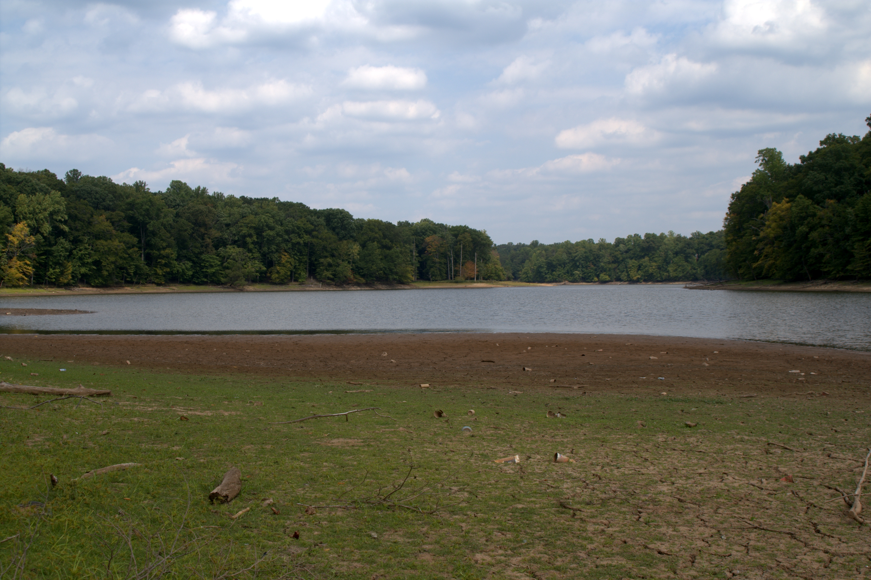
- Occoquan River
-
 Occoquan River
The Occoquan River is a tributary of the Potomac River in northern Virginia, in the mid-Atlantic region of the United States. The river is 24.7 miles (39.8 km) long,[1] and its watershed covers about 590 square miles (1,528 km2). It is formed by the confluence of Broad Run and Cedar Run in Prince William County; Bull Run enters it east-southeast of Manassas, as the Occoquan turns to the southeast. It reaches the Potomac at Belmont Bay. The Occoquan River is part of the Chesapeake Bay watershed. The name Occoquan is derived from a Doeg Algonquian word translated as "at the end of the water".[2]
The river is a scenic area, and many local high schools and colleges use the river for the sport of rowing.
Contents
Dams
The Occoquan has three dams along its length. The first is at the town of Occoquan, a reservoir belonging to the Fairfax County Water Authority, which serves as a source of drinking water for parts of Fairfax and Prince William counties. The Occoquan Reservoir stretches from Occoquan to Bull Run. Further upriver is Lake Jackson. The dam that creates Lake Jackson is at Virginia State Route 234, Dumfries Road, and is a former hydroelectric facility. Today the dam contains the lake, but has not produced electricity in several decades. There is a third dam up Broad Run from its confluence with Cedar Run; this dam forms Lake Manassas, which is the primary water supply for the city of Manassas.
Parks
Sandy Run Regional Park is at Fairfax Station and consists of the northeastern arm of the Occoquan Reservoir. The park is exclusively for the education, practice, and competition of rowing. The high schools that use this park for rowing are members of the Virginia Scholastic Rowing Association (VASRA). The member schools which call this park their home are Robinson Secondary School, W. T. Woodson High School, Thomas Jefferson High School for Science and Technology, James Madison High School, Fairfax High School, Oakton High School, West Springfield High School, Langley High School, J. E. B. Stuart High School, and South County Secondary School.
Fountainhead Regional Park is also in Fairfax Station, further upriver from Sandy Run Regional Park, past Bull Run. Lake Braddock Secondary School, Westfield High School and Woodbridge High School, also VASRA members, use the park for rowing.
The Occoquan River is bordered by three parks administered by the Northern Virginia Regional Park Authority. The three parks are Bull Run, Hemlock and Foundation Head. In addition to horse riding, trailing cycling, fishing and boating access, the Bull Run to Occoquan trail travels through all three parks from the beginning of the river to its end.
See also
References
- ^ U.S. Geological Survey. National Hydrography Dataset high-resolution flowline data. The National Map, accessed August 15, 2011
- ^ "History of the Occoquan". Friends of the Occoquan. http://www.friendsoftheoccoquan.org/history.html. Retrieved 2008-11-08.
External links
- Friends of the Occoquan
- Occoquan River Maritime Association (ORMA)
- Occoquan Watershed Coalition
- Occoquan Watershed Monitoring Laboratory (OWML)
- Northern Virginia Regional Commission: Occoquan Basin Nonpoint Pollution Management Program
- The Potomac Appalachian Trail Club - Bull Run/Occoquan Trail
- A Blog about living and boating on the Occoquan River, includes a map of marinas
Sources
- ADC The map People Street Map Book of Prince William County, Virginia, 28th Edition, 2003
- Occoquan Watershed Monitoring Laboratory
- Northern Virginia Regional Commission
Potomac River system
Cities and towns | Bridges | Islands | Tributaries | Variant names
District of Columbia | Maryland | Pennsylvania | Virginia | West Virginia
Streams shown as: Major tributaries • subtributaries • (subsubtributaries) • (subsubsubtributaries)Lakes and reservoirsCategories:- Chesapeake Bay Watershed
- Geography of Prince William County, Virginia
- Rivers of Virginia
- Tributaries of the Potomac River
Wikimedia Foundation. 2010.