- Mill Creek (South Branch Potomac River)
-
Mill Creek is a 14.0-mile-long (22.5 km)[1] tributary stream of the South Branch Potomac River, belonging to the Potomac River and Chesapeake Bay watersheds. The stream is located in Hampshire County in West Virginia's Eastern Panhandle. Mill Creek flows into the South Branch west of Romney Bridge near Vanderlip along the Northwestern Turnpike (U.S. Route 50).
Contents
Headwaters and course
Mill Creek's source lies in a hollow along Patterson Creek Mountain (2641 feet) in the extreme southwestern corner of Hampshire County near the "four corners" (where Mineral, Hampshire, Hardy, and Grant counties touch). At a confluence with Elmlick Run north of Purgitsville, Mill Creek flows northward parallel to U.S. Route 220/West Virginia Route 28 through the community of Rada. Continuing to follow U.S. Route 220/W.V. Route 28 north, Mill Creek curves eastward at Junction after flowing under U.S. Route 50. East of Junction, the creek runs by the Sloan-Parker House and continues northeastward with Mill Creek Mountain (2119 feet) bounding it to its east and Patterson Creek Mountain to its west. At Mechanicsburg, Mill Creek increases in size as it is joined by Titus Run, Sugar Run, and Dumpling Run. The wider stream makes a ninety degree turn in front of The Burg and enters Mechanicsburg Gap through Mill Creek Mountain. Mechanicsburg Gap is notable because of its many springs and the natural gateway it created for pioneers and settlers heading further west during the mid-18th century. Nearby overlooking Mill Creek and the South Branch are the Fort Mill Ridge Civil War Trenches on Mill Creek Mountain, south of the gap. At the hanging rocks at Phoenix Curve on U.S. Route 50, Mill Creek winds northward towards Vanderlip where it passes under a South Branch Valley Railroad wooden train trestle and joins the South Branch.
Trout fishing
Mill Creek is stocked with rainbow trout from its mouth on the South Branch to Junction. The stream is stocked once in February and once every two weeks from March through May by the West Virginia Division of Natural Resources.
Bridges
Bridge Route Location Bridge at Purgitsville US 220/WV 28 Purgitsville Trinity Road Bridge Trinity Road (CR 220/11) Junction Bridge at Junction Northwestern Turnpike (US 50/WV 28) Junction Mechanicsburg Straight-Away Bridge Northwestern Turnpike (US 50/WV 28) Mechanicsburg Phoenix Curve Bridge Core Road (CR 50/53) Mechanicsburg Mill Meadow Wooden Tressel South Branch Valley Railroad Vanderlip Tributaries
Tributary streams are listed in order from south to north.
- Elmlick Run
- Camp Run
- Horselick Run
- Titus Run
- Sugar Run
- Dumpling Run
- Mayhew Run
- Long Meadow Run
- Core Run
Image gallery
-
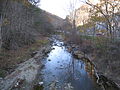
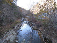
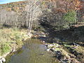
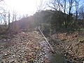
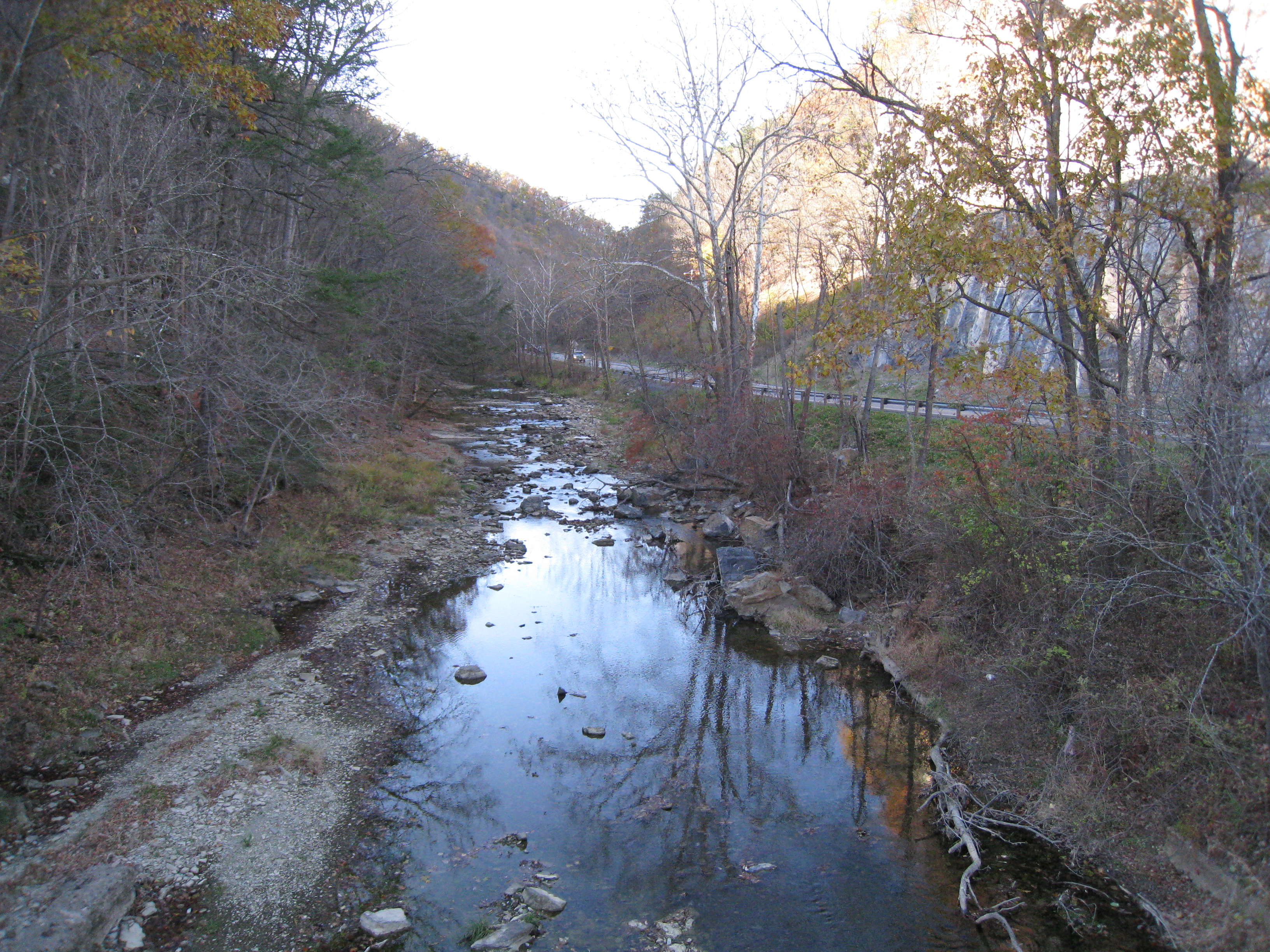
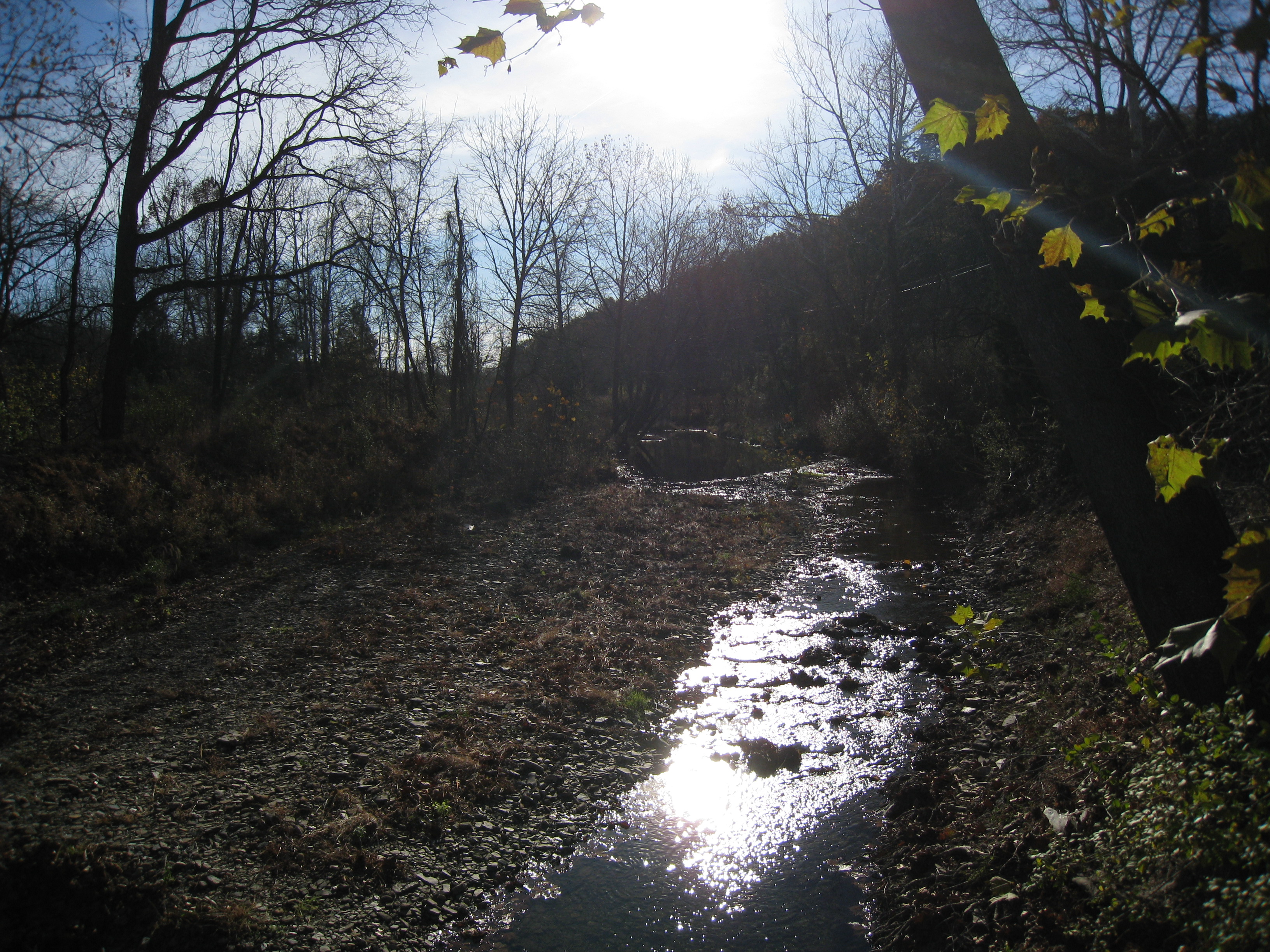
Mill Creek at Mechanicsburg Gap viewed from the Core Road (County Route 50/53) bridge near Romney
-
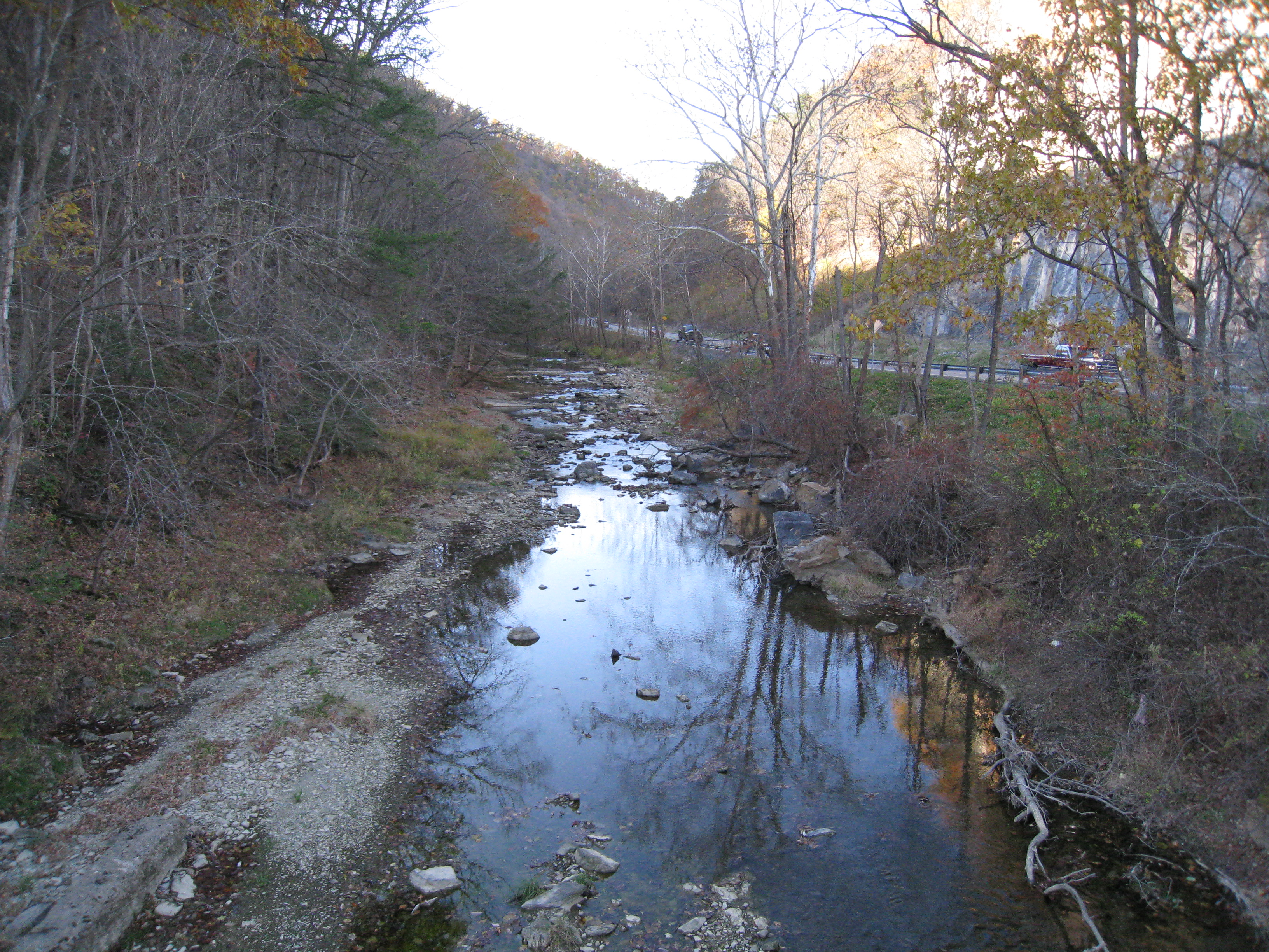
Mill Creek at Mechanicsburg Gap viewed from the Core Road (County Route 50/53) bridge near Romney
-
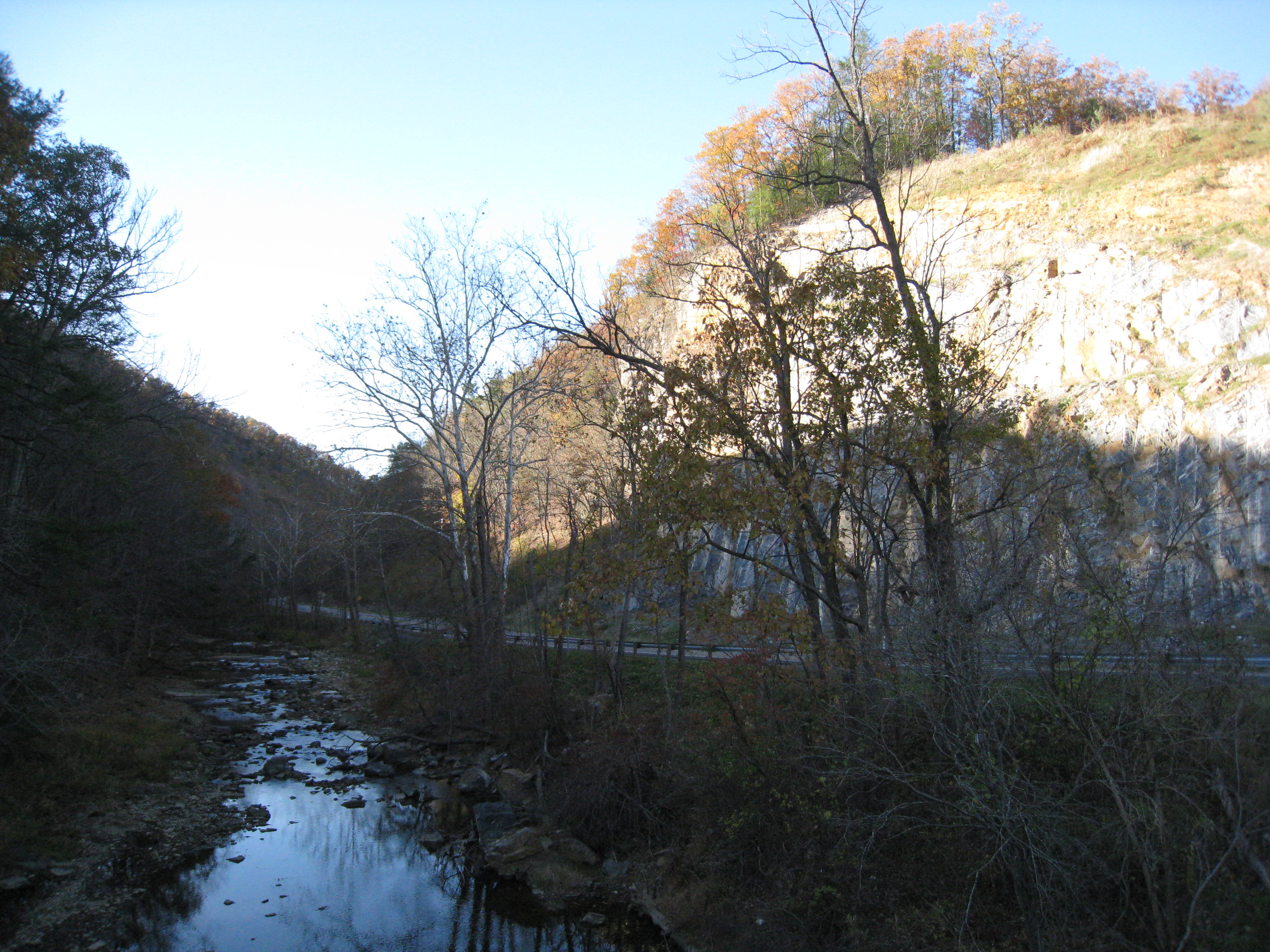
Mill Creek at Mechanicsburg Gap viewed from the Core Road (County Route 50/53) bridge near Romney
-
Mill Creek at Mechanicsburg Gap viewed from the Core Road (County Route 50/53) bridge near Romney
-

Mill Creek at Mechanicsburg Gap viewed from the Core Road (County Route 50/53) bridge near Romney
-

Mill Creek at Mechanicsburg Gap viewed from the Core Road (County Route 50/53) bridge near Romney
-
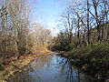
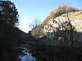
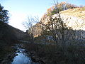
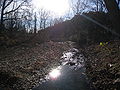
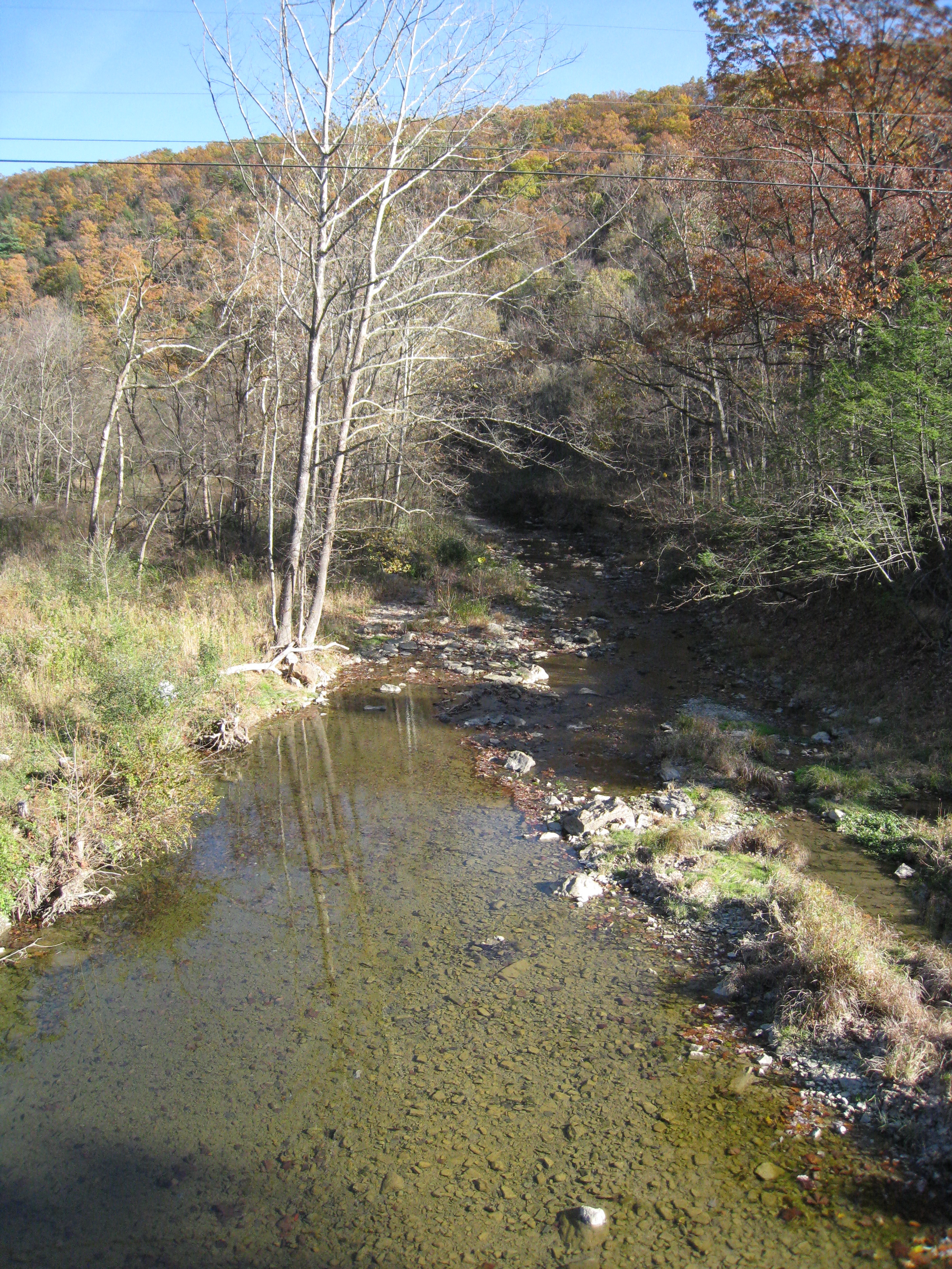
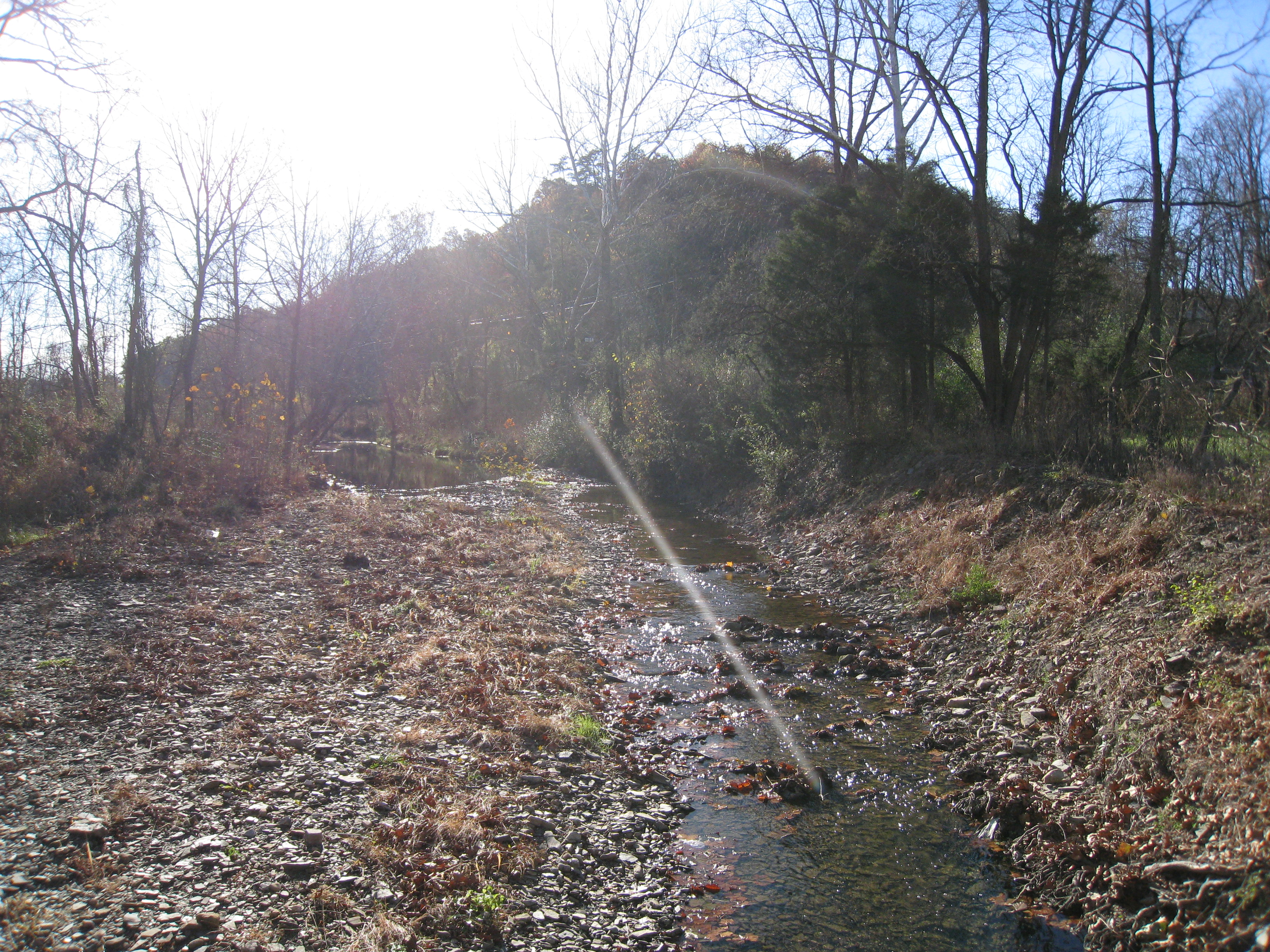
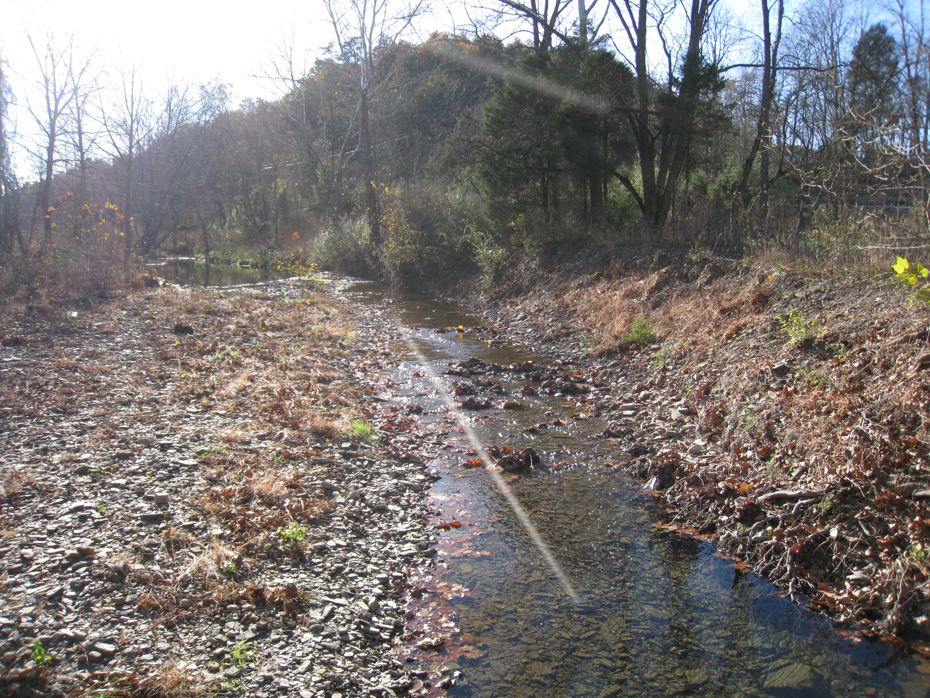
Mill Creek viewed from Trinity Road (County Route 220/11) bridge at Junction
-
Mill Creek viewed from Trinity Road (County Route 220/11) bridge at Junction
-

Mill Creek viewed from Trinity Road (County Route 220/11) bridge at Junction
-
Mill Creek viewed from Trinity Road (County Route 220/11) bridge at Junction
-

Mill Creek viewed from Trinity Road (County Route 220/11) bridge at Junction
See also
- List of West Virginia rivers
References
- ^ U.S. Geological Survey. National Hydrography Dataset high-resolution flowline data. The National Map, accessed August 15, 2011
External links
 Media related to Mill Creek (South Branch Potomac River) at Wikimedia Commons
Potomac River system
Cities and towns | Bridges | Islands | Tributaries | Variant names
District of Columbia | Maryland | Pennsylvania | Virginia | West Virginia
Streams shown as: Major tributaries • subtributaries • (subsubtributaries) • (subsubsubtributaries)Lakes and reservoirsCategories:- Chesapeake Bay Watershed
- Geography of Hampshire County, West Virginia
- Rivers of West Virginia
- Tributaries of the Potomac River


Wikimedia Foundation. 2010.