- Mechanicsburg Gap
-
Mechanicsburg Gap 
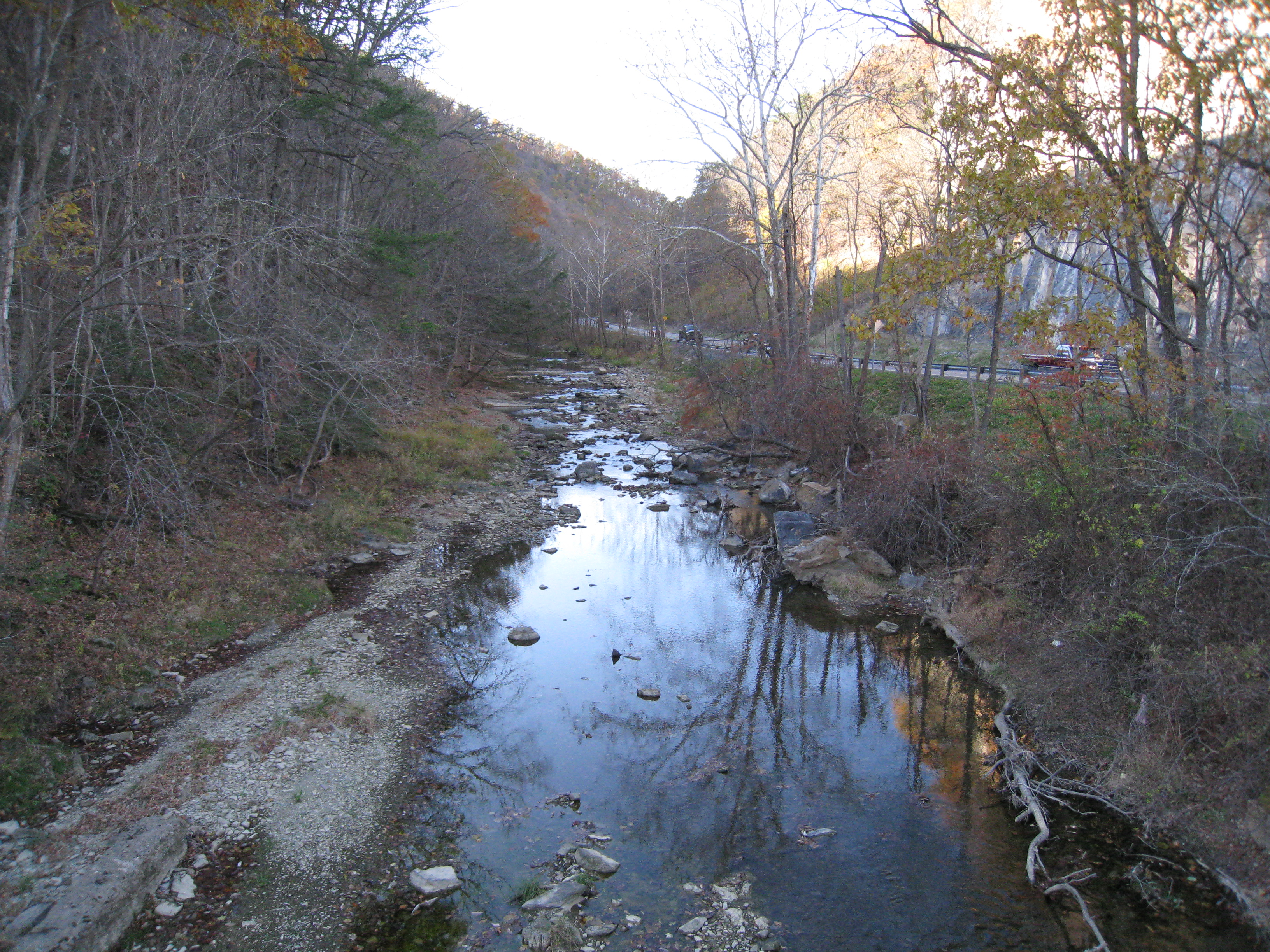
Mill Creek at the eastern entrance of Mechanicsburg Gap.Elevation 876 ft (267 m) Traversed by  U.S. Route 50/
 West Virginia Route 28
Location Location Hampshire County, West Virginia,  United States
Range Mill Creek Mountain
Ridge and Valley AppalachiansCoordinates 39°19′43″N 78°48′11″W / 39.3287105°N 78.8030748°WCoordinates: 39°19′43″N 78°48′11″W / 39.3287105°N 78.8030748°W Topo map USGS Romney Mechanicsburg Gap (also known as Mill Creek Gap) is a water gap mountain pass through Mill Creek Mountain in Hampshire County in the U.S. state of West Virginia.
Mechanicsburg Gap allows for the passage of the Northwestern Turnpike (U.S. Route 50/West Virginia Route 28) and Mill Creek through Mill Creek Mountain. It takes its name from the community of Mechanicsburg at the gap's western entrance.
Today, Mechanicsburg Gap has a number of interesting features within it. Near The Burg (an 18th century home) lies the Romney Spring which flows from a PVC pipe at the foot of the gap which is visited daily by its patrons along the side of U.S. Route 50. Mechanicsburg Gap is also home to the now closed sandstone rock quarry which has cut a massive hole into the gap's northern wall. Adjacent to the quarry is Evelyn's Restaurant, a popular steakhouse and truck stop.
External links
 Media related to Mechanicsburg Gap at Wikimedia CommonsCategories:
- Geography of Hampshire County, West Virginia
- Northwestern Turnpike
- Mountain passes of West Virginia
- Hampshire County, West Virginia in the American Civil War
- Hampshire County, West Virginia geography stubs
Wikimedia Foundation. 2010.