- Manassas, Virginia
-
"Manassas" redirects here. For other uses, see Manassas (disambiguation).
City of Manassas, Virginia — City — View of downtown Manassas looking east on Center Street.

Flag
SealNickname(s): M City[citation needed] Location in Virginia
Coordinates: 38°45′5″N 77°28′35″W / 38.75139°N 77.47639°W Country United States State Virginia Government – Type Council-Manager – Mayor Harry J. (Hal) Parrish II – City Manager Lawrence Hughes – Vice Mayor Andrew L. (Andy) Harrover – City Council J. Steven Randolph – City Council Mark Wolfe Area – Total 10.0 sq mi (25.8 km2) – Land 9.9 sq mi (25.7 km2) – Water .04 sq mi (0.1 km2) Elevation 305 ft (93 m) Population (2010) – Total 37,821 – Density 3,538.2/sq mi (1,366.1/km2) Time zone EST (UTC-5) – Summer (DST) EDT (UTC-4) ZIP codes 20108 (PO Box Only), 20109, 20110, 20111, 20112, 20113 (PO Box Only)[1] Area code(s) 703 571 FIPS code 51-48952[2] GNIS feature ID 1498512[3] Website www.manassascity.org  Manassas Town Hall
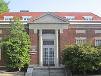 U.S. Post Office in downtown Manassas
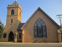 Trinity Episcopal Church in Manassas (founded 1745)
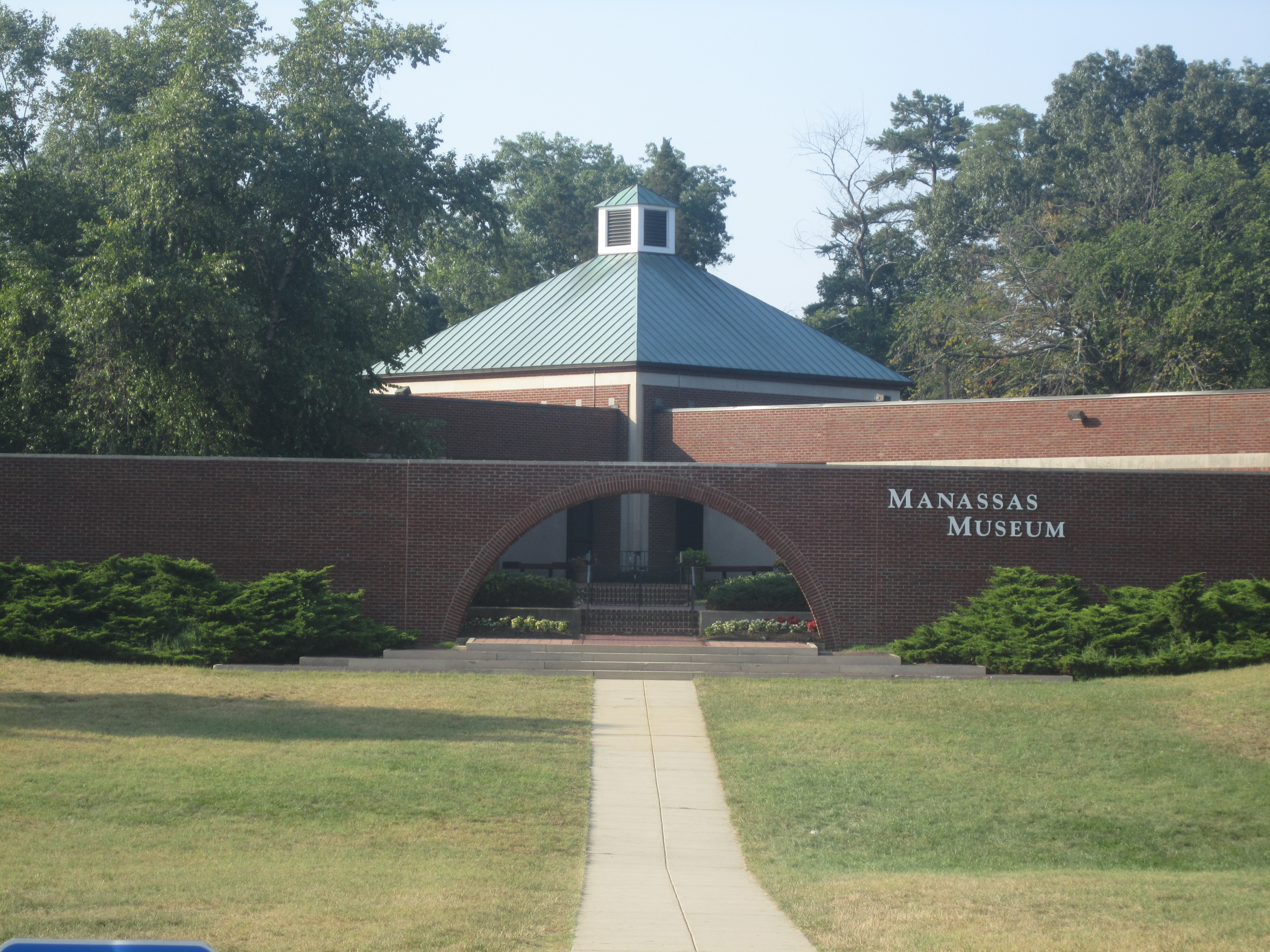
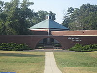 Manassas Museum
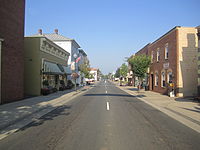 Another look at downtown Manassas
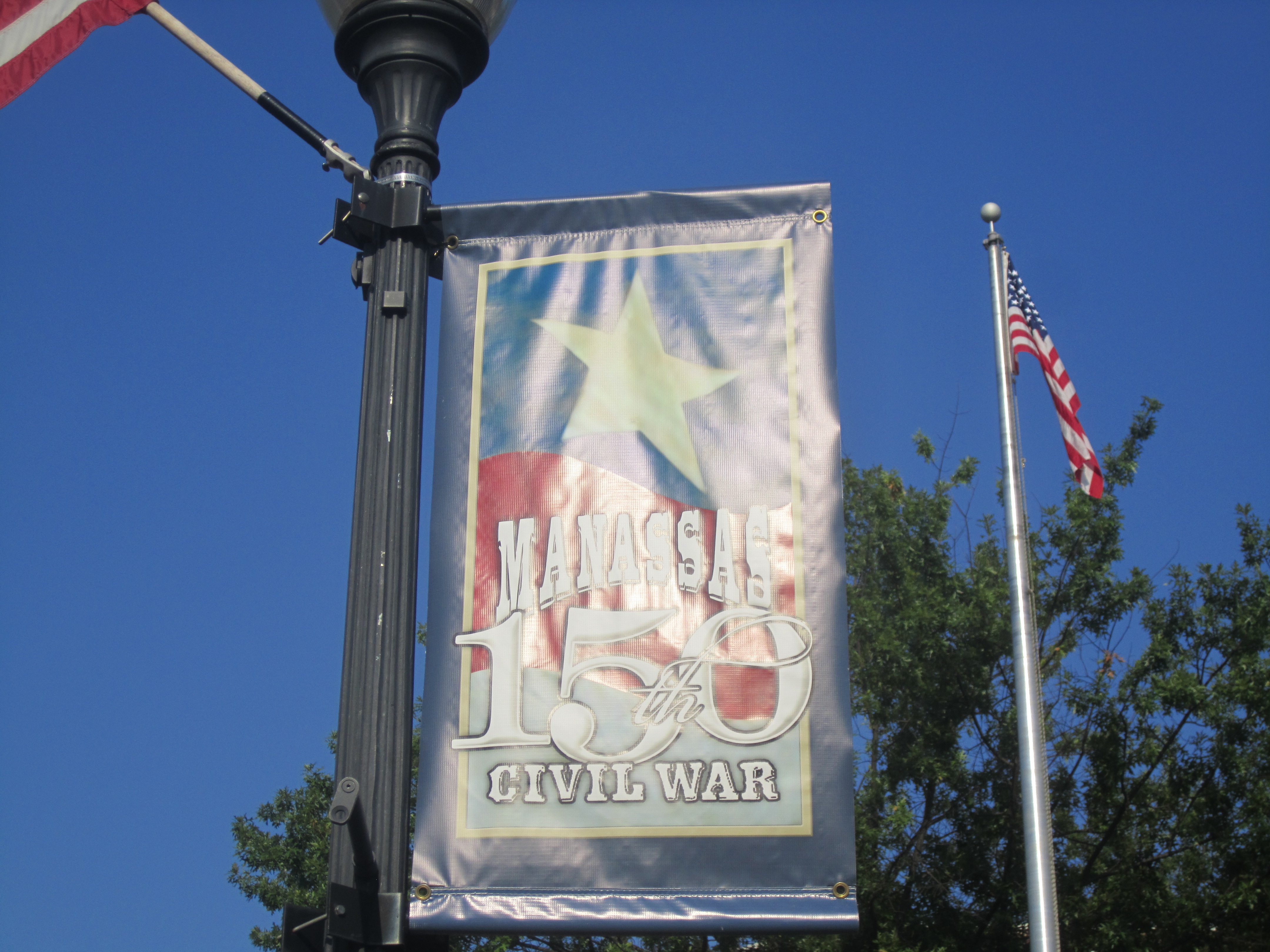
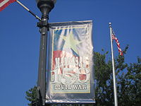 Banner in Manassas noting 150th anniversary of the First Battle of Bull Run
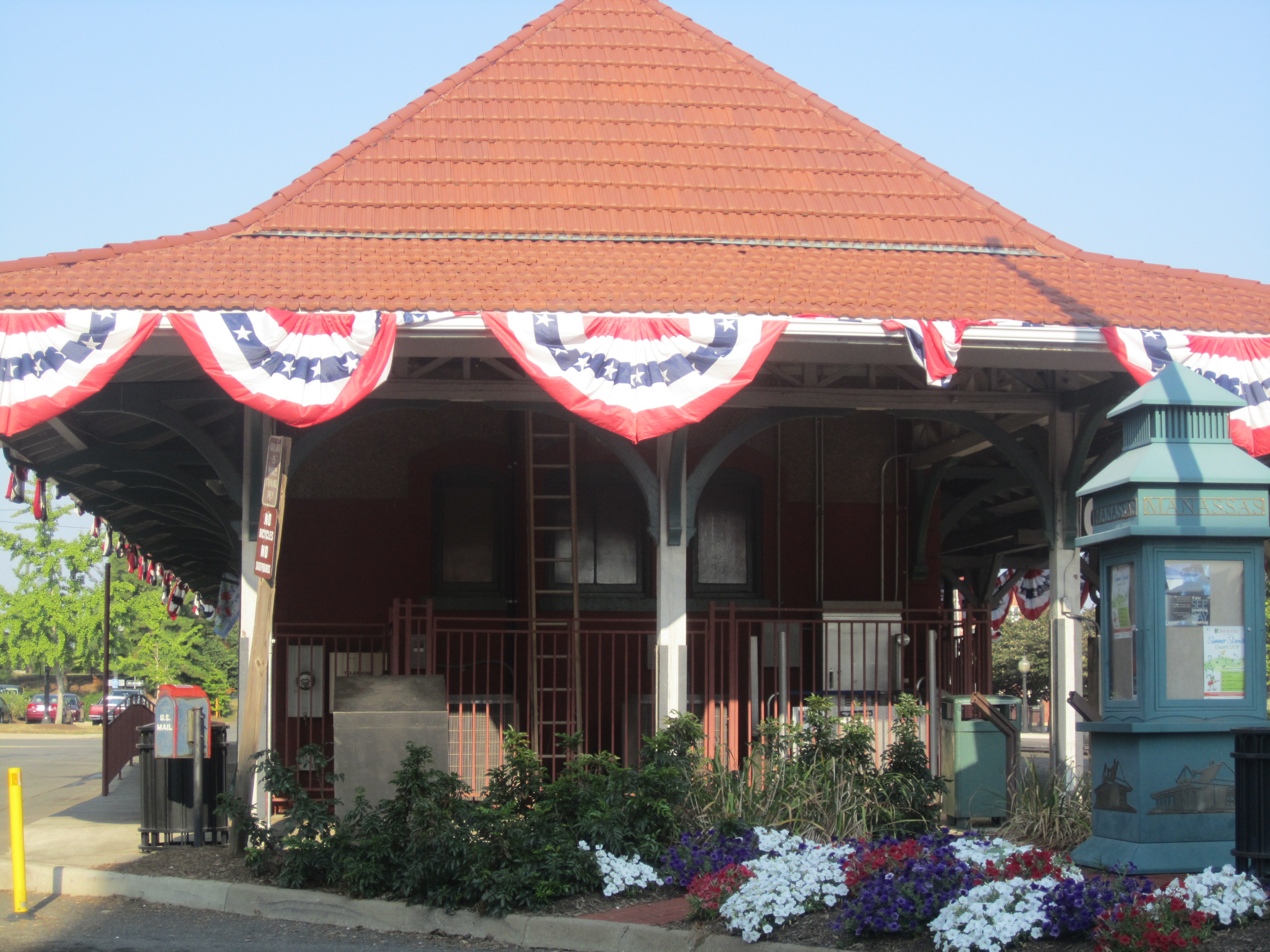
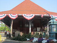 The Amtrak station in Manassas is decorated for the 150th Civil War anniversary.
The City of Manassas is an independent city surrounded by Prince William County and the independent city of Manassas Park in the Commonwealth of Virginia in the United States. Its population was 37,821 as of 2010[4]. Manassas also surrounds the 38-acre (150,000 m2) county seat for Prince William County but that county property is not part of the city. Manassas either contains or is close to several important historic sites from the period 1850 - 70. The Bureau of Economic Analysis combines the city of Manassas (along with Manassas Park) with Prince William County for statistical purposes. The City of Manassas is part of the Washington Metropolitan Area and it is situated in the Northern Virginia region.
Contents
History
In July 1861, the First Battle of Manassas – also known as the First Battle of Bull Run – the first major land battle of the American Civil War, was fought near here. Manassas will commemorate the 150th anniversary of First Battle of Manassas July 21–24, 2011.[5]
Second Battle of Manassas (or the Second Battle of Bull Run) was fought near here on August 28–30, 1862. At that time, Manassas Junction was little more than a railroad crossing, but a strategic one, with rails leading to Richmond, Virginia, Washington, D.C., and the Shenandoah Valley. Despite these two Confederate victories, Manassas Junction was in Union hands for most of the war.
The crossroads grew into the town of Manassas following the war, incorporated in 1873. In 1892, it became the county seat of Prince William County, replacing Brentsville. In 1975, Manassas became an independent city.
In modern times, Manassas's development has been strongly influenced by its position as a suburb of Washington, D.C. It has developed major problems with traffic and urban sprawl.
The trials of John and Lorena Bobbitt (John Wayne Bobbitt's for rape, Lorena Bobbitt's for malicious wounding) occurred at the Prince William County courthouse, which is in the city of Manassas. They lived in Prince William County at the time.[2]
On October 9, 2002, the eleventh of the Beltway sniper attacks occurred outside Manassas city limits when 53-year old Dean Harold Meyers was shot pumping gas at a Sunoco station on Sudley Road near Interstate 66 in Prince William County.
In October 2005, Manassas became the site of the first wide-scale Broadband over Power Lines (BPL) implementation in the United States.[6] The Manassas City Council voted unanimously to end this service in 2010.[7]
Notable residents
- Jim Bucher, in- and outfielder in Major League Baseball
- Jennie Dean, Manassas Industrial School[clarification needed][8]
- Wilmer Fields, pitcher and third baseman in baseball's Negro Leagues
- Brandon Hogan, football player[clarification needed]
- Chaney Kley (1972–2007), American film and television actor
- Jon Knott, Major League Baseball outfielder
- Jeremy Linn, swimmer who competed in the 1996 Summer Olympics
- Mike O'Meara, radio personality
- Harry J. Parrish (1922–2006), a longtime member of the Virginia House of Delegates
- Leven Powell, also Levin, (1737–1810), a US Representative from Virginia
- Ravi Shankar (poet)
- Joanna Mary Berry Shields, founder of Alpha Kappa Alpha Sorority, Inc.; teacher
- Christopher Trizna, motivational speaker
- Leeann Tweeden, model
- Ryan Williams, running back for the Arizona Cardinals
- Jalen Burnette, Rapper, Poet
- Joseph (JoePa) Pascale, Swimmer
- Pete Evick, Musician (Guitarist for Bret Michaels Band)
Geography
Manassas is located at 38°45′5″N 77°28′35″W / 38.75139°N 77.47639°W (38.751415, -77.476396)[9]. The city is mainly served by I-66, US-29, Virginia State Route 234 Business, and Virginia State Route 28.
According to the United States Census Bureau, the city has a total area of 10.0 square miles (26 km2), of which, 9.9 square miles (26 km2) of it is land and 0.04 square miles (0.10 km2) of it (0.20%) is water.
Manassas uses a council-manager system of government. The current city manager is Lawrence Hughes.
Adjacent county / Independent city
- Prince William County, Virginia - northwest, west, south, east
- Manassas Park, Virginia - northeast
Demographics
As of the census[2] of 2000, there were 35,135 people, 11,757 households, and 8,441 families residing in the city. The population density was 3,537.0 people per square mile (1,366.1/km²). There were 12,114 housing units at an average density of 1,219.5 per square mile (471.0/km²). The racial makeup of the city was 72.05% White, 12.91% African American, 0.36% Native American, 3.43% Asian, 0.09% Pacific Islander, 7.89% from other races, and 3.26% from two or more races. Hispanic of any race were 15.13% of the population.
In 2005 non-Hispanic whites were 56.8% of Manassas's population. 13.3% of the population was African-American. 0.5% were Native Americans. 3.8% were Asian. 25.6% were Latinos.
There were 11,757 households out of which 42.3% had children under the age of 18 living with them, 55.8% were married couples living together, 11.3% had a female householder with no husband present, and 28.2% were non-families. 21.1% of all households were made up of individuals and 3.7% had someone living alone who was 65 years of age or older. The average household size was 2.92 and the average family size was 3.39.
In the city the population was spread out with 29.6% under the age of 18, 9.8% from 18 to 24, 35.8% from 25 to 44, 19.4% from 45 to 64, and 5.4% who were 65 years of age or older. The median age was 31 years. For every 100 females there were 103.5 males. For every 100 females age 18 and over, there were 102.0 males.
The median income for a household in the city was $60,409, and the median income for a family was $70,141. Males had a median income of $43,646 versus $30,678 for females. The per capita income for the city was $24,453. About 3.7% of families and 6.3% of the population were below the poverty line, including 7.6% of those under age 18 and 5.4% of those age 65 or over.
In 2007, local Hispanic leaders estimated that the Manassas Hispanic community has grown to about 20,000 to 30,000 members. Other civic groups such as Help Save Manassas [3] ] were expressing concern about the number of illegal immigrants. An accurate count of illegal immigrants for Manassas is not available.[10]
Manassas is part of Virginia's 10th congressional district, represented by Republican Frank Wolf, elected in 1980.
The state's senior member of the United States Senate is Democrat Jim Webb, elected in 2006. The state's junior member of the United States Senate is Democrat Mark Warner, elected in 2008. The Governor of Virginia is Republican Bob McDonnell, elected in 2009.
Crime
For the 21st century, the city of Manassas has had an overall increase in crime since the year 1999. The Total Crime Index for Manassas was 307.3 crimes committed per 100,000 residents in 2006. There were 223.5 crimes committed per 100,000 civilians for the year 1999, The National Average for the United States is 320.9 crimes committed per 100,000 residents.[11] The violent crime levels in Manassas are higher than the Virginia state average, which tends to be a pattern typical within urban areas in the Southern United States.[12][13]
According to CNN MONEY Magazine, there are 5 Personal crime incidents per 1,000 residents, the best places average is 1.3 personal crimes per 1,000 residents. The rate for Property crime incidents for Manassas is 31 per 1,000 residents, the best places average is 20.6.[14]
Economy
Colgan Air, a regional airline, maintains two hangars at Manassas Regional Airport in Manassas.[15] At one time Colgan Air was headquartered in Manassas.[16] In 2009 the company announced that it was moving its headquarters to Memphis to be in proximity to the offices of Pinnacle Airlines Corp., Colgan Air's parent company. 100 jobs in Manassas were lost.[15]
Transportation
Major highways
The major roads into and out of Manassas are VA-28 and VA-234 Business. I-66 and US-29 service Manassas, but neither pass through the city itself.
Airports
Manassas Regional Airport is mostly located within the city limits.
Rail transportation
Manassas began life as Manassas Junction, so-named for the railroad junction between the Orange and Alexandria Railroad and the Manassas Gap Railroad. The O&A owned the trackage from Alexandria through Manassas to points south, ending in Orange, Virginia, while the MGRR was a new line being constructed from Manassas Junction through the Manassas Gap westward.
The current trackage, which roughly follows these original routes, is now owned by the modern day Norfolk Southern system.
Amtrak and the Virginia Railway Express (VRE) supply both regular and commuter service to the city and surrounding area on the tracks owned by the NS. Three Amtrak routes, the Cardinal, the Northeast Regional and Crescent, provide service. The Cardinal terminates in Chicago, the Northeast Regional in Boston, while the Crescent ends at New Orleans. VRE is a very popular commuting option to Alexandria and Washington, D.C..
Schools
The city of Manassas is served by the Manassas Public Schools. There are five elementary schools in Manassas, one middle school, and one high school. On September 5, 2006, Mayfield Intermediate School opened, serving students in fifth and sixth grade.
Some schools in the Prince William County Public Schools district have Manassas addresses; they serve areas outside of the Manassas city limits and are located outside of the Manassas city limits.
Also in the vicinity of Manassas are branch campuses of American Public University System, George Mason University, Northern Virginia Community College, ECPI College of Technology and Strayer University. Despite that some of these may in fact be just outside the city limits in Prince William County, NVCC and Strayer call these branches their "Manassas Campuses."
List of public schools in Manassas:[17]
- Baldwin Elementary School
- Dean Elementary School
- Haydon Elementary School
- Round Elementary School
- Weems Elementary School
- Joseph B. Johnson Learning Center
- Mayfield Intermediate School
- Grace E. Metz Middle School
- Osbourn High School
See also
- List of Famous People from the Washington Metropolitan Area
- Manassas (Amtrak station)
- Manassas Police Department
- National Register of Historic Places listings in Manassas, Virginia
References
- ^ Manassas, VA ZIPs Enter City=Manassas, State=VA Retrieved November 22, 2009
- ^ a b "American FactFinder". United States Census Bureau. http://factfinder.census.gov. Retrieved 2008-01-31.
- ^ "US Board on Geographic Names". United States Geological Survey. 2007-10-25. http://geonames.usgs.gov. Retrieved 2008-01-31.
- ^ [1]. Weldon Cooper Center 2010 Census Count Retrieved September 9, 2011
- ^ "Manassas Civil War Commemorative Event, July 21–24, 2011". Historic Manassa, Inc.. http://www.manassascivilwar.org/home.aspx.
- ^ http://www.manassascity.org/index.aspx?nid=78
- ^ Buske, Jennifer (April 8, 2010). "Manassas to end broadband-over-power line Internet service". The Washington Post. http://www.washingtonpost.com/wp-dyn/content/article/2010/04/06/AR2010040603796.html.
- ^ Industrial School & Jennie Dean Memorial
- ^ "US Gazetteer files: 2010, 2000, and 1990". United States Census Bureau. 2011-02-12. http://www.census.gov/geo/www/gazetteer/gazette.html. Retrieved 2011-04-23.
- ^ For Many Immigrants, No Answers", Washington Post, March 20, 2007; by Pamela Constable; retrieved 1 October 2007
- ^ Manassas, Virginia (VA) profile: population, maps, real estate, averages, homes, statistics, relocation, travel, jobs, hospitals, schools, crime, moving, houses, sex offenders...
- ^ Manassas Profile | Manassas VA | Population, Crime, Map
- ^ http://www.fbi.gov/ucr/cius2007/offenses/standard_links/regional_estimates.html
- ^ "MONEY Magazine: Best places to live 2007: Manassas, VA snapshot". CNN. http://money.cnn.com/magazines/moneymag/bplive/2007/snapshots/PL5148952.html.
- ^ a b "In Brief: Colgan Air to Move Headquarters Out of Manassas, Costing 100 Jobs." Washington Post. Sunday October 4, 2009. Retrieved on February 28, 2010.
- ^ "Employment." Colgan Air. July 3, 2001. Retrieved on February 28, 2010.
- ^ "Manassas City Public Schools - MCPS Home". Manassas City Public Schools. 2010. http://www.manassas.k12.va.us/education/district/district.php?sectionid=1. Retrieved 2010-07-14.
External links
Coordinates: 38°45′05″N 77°28′35″W / 38.751415°N 77.476396°W

Gainesville Manassas Park Clifton Bristow 
Buckhall  Manassas

Nokesville Independent Hill Lake Ridge Categories:- Manassas, Virginia
- Cities in Virginia
- Washington metropolitan area
- Northern Virginia
- Baltimore–Washington metropolitan area
- County seats in Virginia


Wikimedia Foundation. 2010.