- Manassas Regional Airport
-
Manassas Regional Airport
Harry P. Davis Field
IATA: HEF[1] or MNZ[2] – ICAO: KHEF – FAA LID: HEF Summary Airport type Public Owner City of Manassas Serves Manassas, Virginia Elevation AMSL 192 ft / 59 m Coordinates 38°43′17″N 077°30′56″W / 38.72139°N 77.51556°W Runways Direction Length Surface ft m 16L/34R 5,700 1,737 Asphalt 16R/34L 3,702 1,128 Asphalt Statistics (2006) Aircraft operations 139,625 Based aircraft 401 Source: Federal Aviation Administration[3] Manassas Regional Airport (IATA: HEF[1] or MNZ[2], ICAO: KHEF, FAA LID: HEF), also known as Harry P. Davis Field, is a city-owned public-use airport located four nautical miles (7 km) southwest of the central business district of Manassas, in a section of Manassas that was carved out of Prince William County specifically for the purpose of containing the airport.[3] It is mostly located within the city of Manassas, but a small section of the airport grounds are located in unincorporated Prince William County.[4]
Contents
History
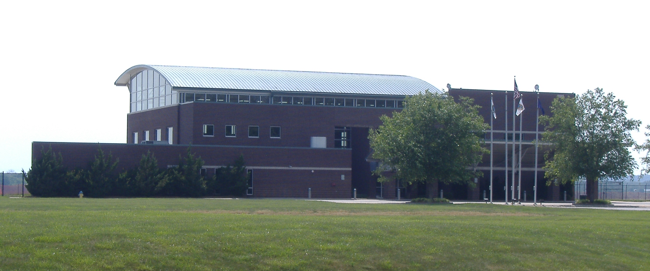
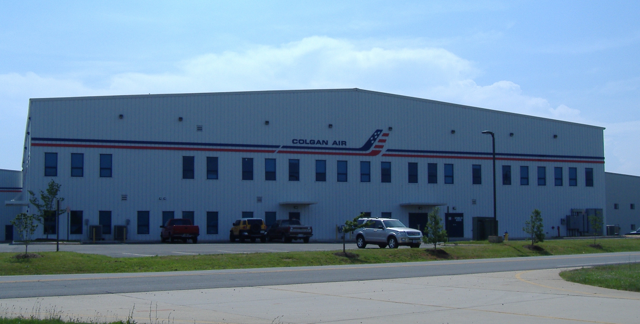
 Colgan Air building
An airport for Manassas was proposed in 1930, when the mayor was Harry P. Davis. It was built in 1931 on 95 acres located along Virginia Route 234, in the area now known as Manaport Shopping Center. Due to airport activity and nearby housing development, the airport was moved to its current location in 1964. The new airport opened with a single 3700' x 100' paved runway. In 1992, the city purchased a control tower from an airport near Denver and reassembled it at Manassas Regional Airport. A new terminal was built in 1996. [5]
Facilities and aircraft
Manassas Regional Airport covers an area of 888 acres (359 ha) at an elevation of 192 feet (59 m) above mean sea level. It has two asphalt paved runways: 16L/34R measuring 5,700 x 100 feet (1,737 x 30 m) and 16R/34L measuring 3,702 x 100 feet (1,128 x 30 m).[3]
For the 12-month period ending August 14, 2006, the airport had 139,625 aircraft operations, an average of 382 per day: 98% general aviation, 1% air taxi and 1% military. At that time there were 401 aircraft based at this airport: 72% single-engine, 18% multi-engine, 6% jet and 4% helicopter.[3]
See also
- Broad Run/Airport (VRE station)
- Colgan Air (headquarters formerly located on airport grounds)
References
- ^ a b Aviation Safety Network (IATA: HEF)
- ^ a b Great Circle Mapper (IATA: MNZ)
- ^ a b c d FAA Airport Master Record for HEF (Form 5010 PDF), effective 2008-04-10
- ^ "Department of GIS/Mapping," City of Manassas
- ^ Airport History at City of Manassas website
External links
- Manassas Regional Airport at City of Manassas website
- Bussmann Aviation
- Coordinates: 38°43′17″N 77°30′55″W / 38.7214°N 77.5154°W
- FAA Airport Diagram (PDF), effective 20 October 2011
- FAA Terminal Procedures for HEF, effective 20 October 2011
- Resources for this airport:
- AirNav airport information for KHEF
- ASN accident history for HEF
- FlightAware airport information and live flight tracker
- NOAA/NWS latest weather observations
- SkyVector aeronautical chart, Terminal Procedures for KHEF
Administration Prince William Board of County Supervisors · Prince William County Public Schools · Prince William County Park Authority · Prince William County Service Authority · Prince William County Public Library · Prince William County Department of Fire and Rescue · Prince William County Police Department · Prince William County Sheriff's OfficeOrganizations Prince William Chamber of Commerce · Prince William Symphony OrchestraLandmarks National Museum of the Marine Corps · Marine Corps Base Quantico · Hylton Performing Arts Center · Manassas National Battlefield Park · Jiffy Lube Live · Old Dominion Speedway · Prince William Forest Park · Leesylvania State Park · Potomac MillsTransportation OmniRide · Washington Dulles International Airport · Ronald Reagan Washington National Airport · Manassas Regional Airport · Prince William Parkway · Virginia State Route 234 · Interstate 66 · Interstate 95 · U.S. Route 1Culture BattlesEventsDale City 4th of July ParadeEducation Categories:- Airports in Virginia
Wikimedia Foundation. 2010.