- Antioch, California
-
City of Antioch — City — 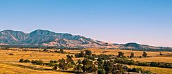

SealMotto: Gateway to the Delta Location of Antioch within California
Coordinates: 38°00′18″N 121°48′21″W / 38.005°N 121.80583°WCoordinates: 38°00′18″N 121°48′21″W / 38.005°N 121.80583°W Country  United States
State  California
County Contra Costa Government – Mayor Jim Davis – State Senate Mark DeSaulnier (D) – State Assembly Susan Bonilla (D) – U. S. Congress John Garamendi (D) Area[1] – City 29.083 sq mi (75.324 km2) – Land 28.349 sq mi (73.422 km2) – Water 0.734 sq mi (1.902 km2) 2.52% Elevation 43 ft (13 m) Population (2010) – City 102,372 – Rank 3rd in Contra Costa County
64th in California
270th in the United States– Density 3,520/sq mi (1,359.1/km2) – Metro 7,468,390 Time zone PST (UTC-8) – Summer (DST) PDT (UTC-7) ZIP codes 94509, 94531 Area code(s) 925 FIPS code 06-02252 GNIS feature ID 1657936 Website http://www.ci.antioch.ca.us/ Antioch (formerly, East Antioch, Smith's Landing,[2] and Marshs Landing[3]) is a city in Contra Costa County, California. Located in the East Bay region of the San Francisco Bay Area along the San Joaquin-Sacramento River Delta, it is a suburb of San Francisco and Oakland. The city's population was 102,372 at the U.S. 2010 census.
Contents
History
Antioch is one of the oldest towns in California, having been founded in 1850. The year following the discovery of gold, there was a plague that over-took the city and wiped out most of the population.
The town was founded by two brothers, William and Joseph Smith, who named the town Smith’s Landing. In 1851, the town's new minister persuaded the residents to change the name of the town to Antioch, for the Biblical city of Antioch, Turkey.[4]
Around 1859, coal was discovered in several places in the hills south of Antioch and coal mining formed the first substantial business apart from farming and dairying by the inhabitants of this community. This new industry resulted in the founding of the towns of Nortonville, Somersville, Stewartsville, and Black Diamond (now Pittsburg, California), and added greatly to the economic activity of the Antioch area. The Empire Coal Company was formed by John C. Rouse and George Hawxhurst in 1876, which built a railroad that passed from Antioch toward the mines over what is now "F Street" (formerly Kimball Street). However, later on, both the mine and the railroad passed into the hands of the Belshaw brothers. The mines have long ago ceased operation, and the railroad tracks have been dug up, though the building that served as the Antioch terminus of the railroad still stands on the corner of F Street and Fourth Street, and the grading and trestles still remain much as they were in those early days.
In 1863, a great excitement arose over the discovery of copper ore near Antioch. Smelting works were built at Antioch, and a value of fifteen to twenty-five dollars per ton was paid for the ore, according to its quality. Unfortunately the copper bubble eventually burst, to the dismay of the citizens with connections. Petroleum was first drilled for near Antioch in 1865, but not enough oil was found to make a decent profit.
The Antioch Post Office was opened in 1851, closed in 1852, re-opened in 1855, closed again in 1862, and it has operated continuously since re-opening in 1863.[3] The city of Antioch was incorporated in 1872.[3]
The Antioch Ledger was first issued on March 10, 1870, and in all its forty-seven years never missed an issue. In memory of when the paper was formed, a copy of its first issue has been framed and hangs over the desk of the present editor. It is five by eight inches in size, printed on one side only, and its sole news item is a report and editorial comment on women's suffrage meeting that had just been held in the town. The Ledger later merged with the Contra Costa Times and printed its last issue in 2005.[5]
During the mid 1950's the Fibreboard Research patented a method of applying wax coatings to cardboard containers that spawned the first milk, juice and ice cream containers hence making Antioch "the home of the milk carton".[6]
Today, Antioch is mainly a "bedroom" community, with most adults working in larger cities toward Oakland and San Francisco. The town has seen an enormous amount of growth in the last 30 years, as the population of the Bay Area continues to grow, and real estate prices force families to move towards the outskirts of the Bay Area.
2000s
In late 2009, Antioch received worldwide media attention following the news of kidnap victim Jaycee Lee Dugard being discovered alive there,[7] and became the focus of several news stories regarding its 122 registered sex offenders. The LA Times ran a story titled "Sex offenders move to Antioch area 'because they can'",[8] The Independent ran a story titled "How Jessica's Law turned Antioch into a phedophile ghetto",[9] and CNN's Anderson Cooper[10] and Larry King both did similar stories for television; the latter with commentary by TV judge Judy Sheindlin.[11] However, the Contra Costa Times and affiliated newspapers contradicted their claim: "Disturbing, if true. Only it's not, according to a Bay Area News Group analysis of sex offender addresses and census data." The report concluded that the 94509 zip code ranked only 39th in the state with 1.5 sex offenders per 1000 (k), with Oakland, San Francisco, San Jose, Bethel Island and Vallejo ZIP codes ranked in the top ten. Monte Rio ranked first with 4.5 per 1000.[12]
Timeline
Antioch Historic Timeline Antioch Historic Timeline - Pre-1600s to Present
- 1926 May 31 War memorial to servicemen lost during World War I was dedicated
- 1928 November 1 The El Campanil Theatre opened by Fred Stamm and Ralph Beede
- 2005 May 7 The Temple-Inland paper mill closed ending 166 years of papermaking in Antioch, California
Geography
Antioch is located at 38°00′18″N 121°48′21″W / 38.005°N 121.80583°W,[13] along the San Joaquin River at the western end of the San Joaquin-Sacramento River Delta.
According to the United States Census Bureau, the city has a total area of 29.1 square miles (75 km2), of which, 28.3 square miles (73 km2) of it is land and 0.7 square miles (1.8 km2) of it (2.52%) is water.
Open space and wildlife
Owl controversy
 Threatened Burrowing Owl, Antioch, California
In late 2008, Western Burrowing Owls (Athene cunicularia) moved into a 25-acre (100,000 m2) housing development slated for construction called Blue Ridge, owned by Kiper Homes. In November 2009 the California Department of Fish & Game gave the developer permission to evict the owls before nesting season begins in February 2010. Eviction is controversial because the birds regularly reuse burrows for years, and there is no requirement that suitable new habitat be found for the owls. Despite being listed as a Species of Special Concern (a pre-listing category under the Endangered Species Act) by the California Department of Fish and Game in 1979, California's population declined 60% from the 1980s to the early 90's, and continues to decline at roughly 8% per year.[14] In 1994, the U.S. Fish and Wildlife Service nominated the Western Burrowing Owl as a Federal Category 2 candidate for listing as endangered or threatened, but loss of habitat continues due to development of the flat, grassy lands used by the owl. According to The Institute for Bird Populations at Point Reyes, there has been a 50 percent decline in burrowing owl populations in the Bay Area in the last 10 to 15 years. Their status protects them from disturbance during nesting season or killing at any time, but does not guarantee them a permanent home, as outside of breeding season, owls can be removed.[15] In November, 2009 local resident Scott Artis tallied 11 owls in the area, including four pairs. Antioch is the first East Bay city to designate habitat protected by deed for burrowing owls, since residents pushed for protections for those displaced by the community center at Prewett Park, said local resident Dee Vieira, who spearheaded the effort.[16] Despite organized protests at Kiper Homes' Blue Ridge property by Friends of East Bay Owls, one-way doors were installed in the birds' burrows so that the owl families could not return to their nests.[17] A 1992-93 survey reported no breeding burrowing owls in Napa, Marin, and San Francisco counties, and only a few in San Mateo and Sonoma. The Santa Clara County population is declining and restricted to a few breeding locations, leaving only Alameda, Contra Costa, and Solano counties as the remnant breeding range.[18] To assist the displaced Antioch owls in finding new homes a group of local residents and environmental group Friends of Marsh Creek Watershed constructed six artificial burrows at a designated burrowing owl habitat preserve in the hills north of Prewett Water Park.[19]
 Sunset over Mt. Diablo as seen from Antioch
Parks and trails
According to the Public Works Department of Antioch, Antioch is home to 31 parks covering a total of 310 acres (1.3 km²) with an additional 600 acres (2.4 km²) of city-owned open space. It also has 11 miles (18 km) of walking paths connecting communities to parks and schools.
Within its boundaries it has Contra Loma Regional Park, the Antioch/Oakley Regional Shoreline and Black Diamond Mines Regional Park, and the Mokelumne Coast to Crest Trail and Delta de Anza Regional Trail. According to the East Bay Regional Parks District, these three parks take up 6,493 acres (26.28 km2); approximately 38% of Antioch’s total land mass.
Just outside Antioch’s city limit is the 2,024 acres (8.19 km2) Round Valley Regional Preserve.
Established in 1980, Antioch Dunes National Wildlife Refuge was the first national wildlife refuge in the country established for the purpose of protecting endangered plants and insects.[20] It is located on the south shore of the San Joaquin River in Antioch.
The city has a municipal marina,[21] along with other private marinas, boatyards, and yacht clubs. There is a public fishing pier in town, and another out near the Antioch Bridge.
There is fishing in the San Joaquin River along the Antioch/Oakley Regional Shoreline, located just upstream from Highway 160's Antioch Bridge (also known as Nejedly Bridge).
Demographics
Historical populations Census Pop. %± 1870 700 — 1880 626 −10.6% 1890 635 1.4% 1900 674 6.1% 1910 1,124 66.8% 1920 1,936 72.2% 1930 3,563 84.0% 1940 5,106 43.3% 1950 11,051 116.4% 1960 17,035 54.1% 1970 28,060 64.7% 1980 43,559 55.2% 1990 62,195 42.8% 2000 90,532 45.6% 2010 102,372 13.1% source:[22][23][24] 2010
The 2010 United States Census[25] reported that Antioch had a population of 102,372. The population density was 3,520.0 people per square mile (1,359.1/km²). The racial makeup of Antioch was 50,083 (48.9%) White, 17,667 (17.3%) African American, 887 (0.9%) Native American, 10,709 (10.5%) Asian (5.7% Filipino, 1.4% Chinese, 0.9% Indian, 0.7% Vietnamese, 0.2% Korean, 0.2% Japanese, 0.1% Laotian, 0.1% Pakistani, 0.1% Cambodian), 817 (0.8%) Pacific Islander, 14,310 (14.0%) from other races, and 7,899 (7.7%) from two or more races. Hispanic or Latino of any race were 32,436 persons (31.7%); 22.6% of Antioch is Mexican, 2.2% Salvadoran, 1.2% Nicaraguan, 1.2% Puerto Rican, 0.7% Peruvian, 0.4% Guatemalan, and 0.2% Cuban.
The Census reported that 101,708 people (99.4% of the population) lived in households, 404 (0.4%) lived in non-institutionalized group quarters, and 260 (0.3%) were institutionalized.
There were 32,252 households, out of which 14,664 (45.5%) had children under the age of 18 living in them, 17,010 (52.7%) were opposite-sex married couples living together, 5,718 (17.7%) had a female householder with no husband present, 2,295 (7.1%) had a male householder with no wife present. There were 2,384 (7.4%) unmarried opposite-sex partnerships, and 306 (0.9%) same-sex married couples or partnerships. 5,296 households (16.4%) were made up of individuals and 1,781 (5.5%) had someone living alone who was 65 years of age or older. The average household size was 3.15. There were 25,023 families (77.6% of all households); the average family size was 3.52.
The population was spread out with 28,807 people (28.1%) under the age of 18, 10,593 people (10.3%) aged 18 to 24, 27,459 people (26.8%) aged 25 to 44, 26,515 people (25.9%) aged 45 to 64, and 8,998 people (8.8%) who were 65 years of age or older. The median age was 33.8 years. For every 100 females there were 94.8 males. For every 100 females age 18 and over, there were 91.7 males.
There were 34,849 housing units at an average density of 1,198.3 per square mile (462.7/km²), of which 20,751 (64.3%) were owner-occupied, and 11,501 (35.7%) were occupied by renters. The homeowner vacancy rate was 2.7%; the rental vacancy rate was 8.2%. 64,284 people (62.8% of the population) lived in owner-occupied housing units and 37,424 people (36.6%) lived in rental housing units.
2000
As of the census[26] of 2000, there were 90,532 people, 29,338 households, and 23,177 families residing in the city. The population density was 3,359.5 people per square mile (1,297.0/km²). There were 30,116 housing units at an average density of 1,117.6/sq mi (431.5/km²). The racial makeup of the city was 65.33% White, 22.12% Hispanic or Latino of any race, 9.75% Black or African American, 0.93% Native American, 7.40% Asian, 0.40% Pacific Islander, 9.23% from other races, and 6.97% from two or more races.
There were 29,338 households out of which 46.3% had children under the age of 18 living with them, 60.3% were married couples living together, 13.5% had a female householder with no husband present, and 21.0% were non-families. 15.9% of all households were made up of individuals and 5.4% had someone living alone who was 65 years of age or older. The average household size was 3.07 and the average family size was 3.42.
In the city the population was spread out with 32.3% under the age of 18, 8.2% from 18 to 24, 32.4% from 25 to 44, 19.8% from 45 to 64, and 7.4% who were 65 years of age or older. The median age was 32 years. For every 100 females there were 96.0 males. For every 100 females age 18 and over, there were 92.0 males.
The median income for a household in the city was $60,359, and the median income for a family was $64,723. Males had a median income of $50,152 versus $34,203 for females. The per capita income for the city was $22,152. About 6.5% of families and 8.5% of the population were below the poverty line, including 11.3% of those under age 18 and 6.3% of those age 65 or over.
Economy
Top employers
According to the City's 2009 Comprehensive Annual Financial Report,[27] the top employers in the city are:
# Employer # of Employees 1 Kaiser Permanente 2,070 2 Antioch Unified School District 1,786 3 Sutter Delta Medical Center 891 4 Contra Costa County Social Services 427 5 Wal-Mart 318 6 City of Antioch 308 7 Target 257 8 Antioch Auto Center 221 9 Costco 207 10 Macy's 130 Transportation
Antioch is served by both the Antioch-Pittsburg Amtrak station, and access to Bay Area Rapid Transit (BART) is available at the Pittsburg/Bay Point Station in Pittsburg. Although public transportation agency Tri-Delta Transit is the predominant provider of public transportation in the Antioch area, County Connection bus #930 also serves Antioch going to John Muir Medical Center, Mitchell Park n' Ride, Railroad Castlewood, Delta Fair Sommersville and Hillcrest Park 'n Ride.
Commercial airports serving this area are:
- Oakland International Airport
- San Francisco International Airport
- San Jose International Airport
- Sacramento International Airport
- Stockton Metropolitan Airport
Other nearby airports serving private aircraft are:
-
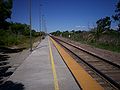
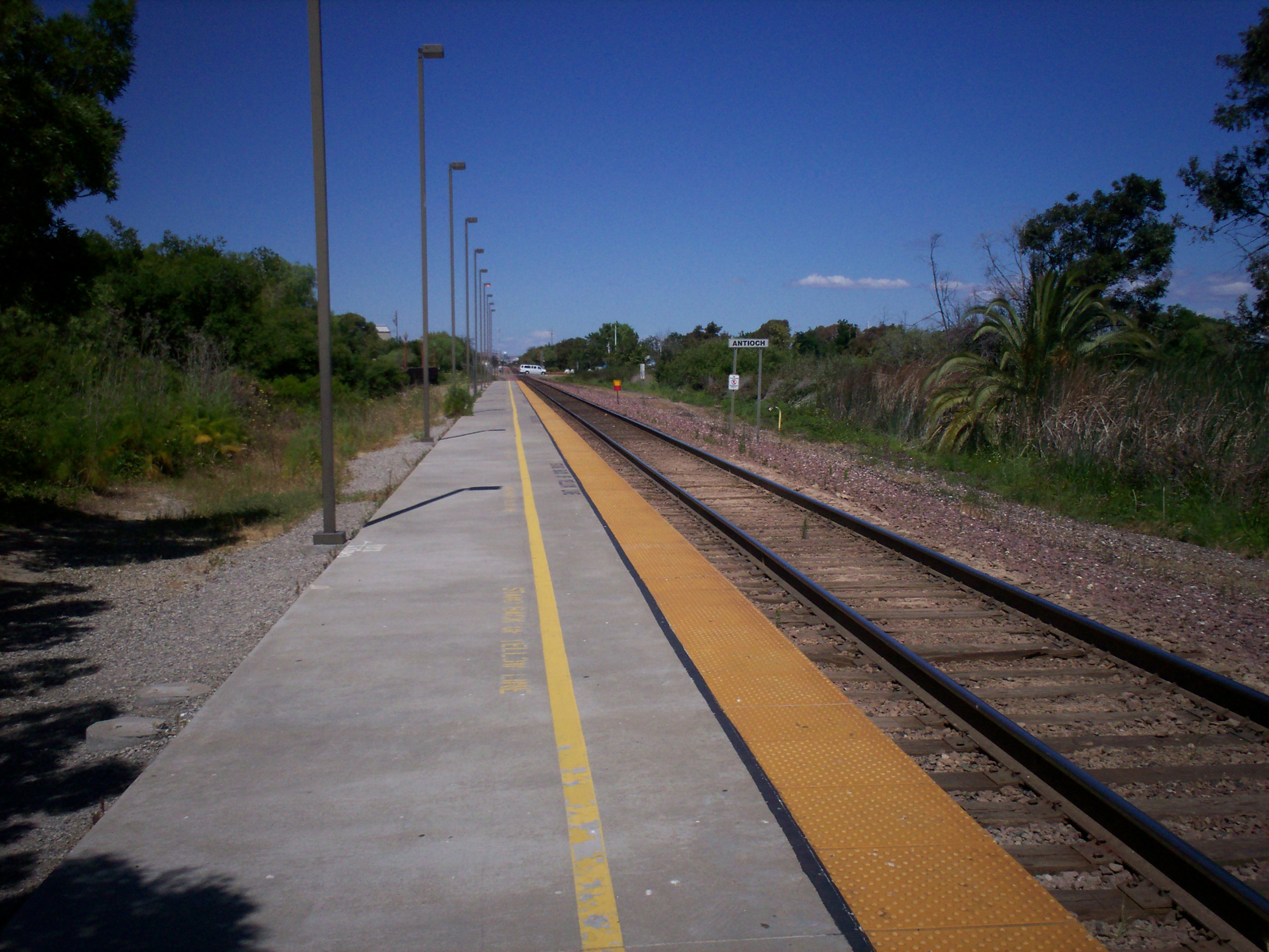
Westbound view of Antioch, California, Amtrak station platform.
-
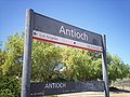
Sign at Antioch, California, Amtrak station.
-

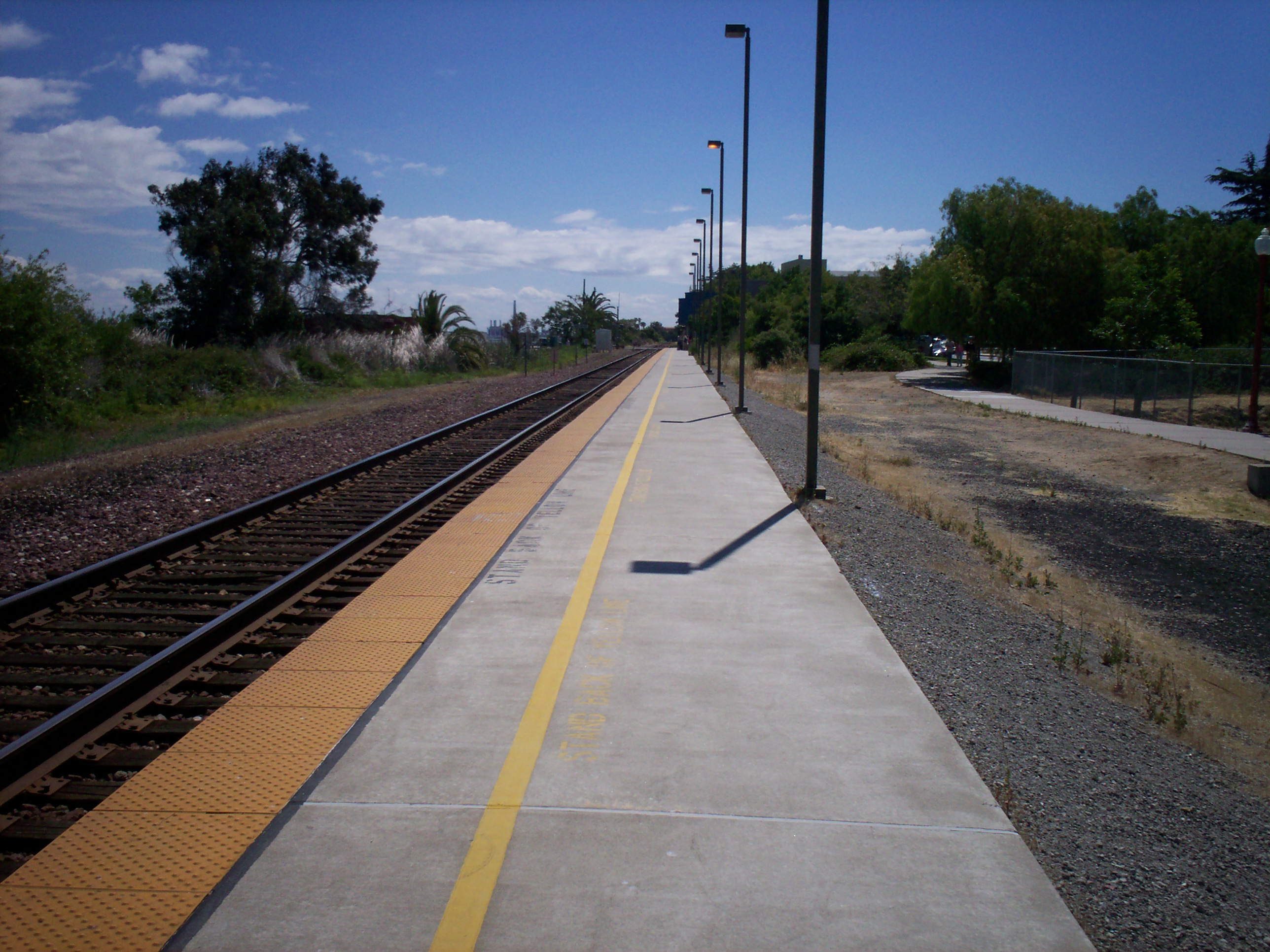
Eastbound view of Antioch, California, Amtrak station platform.
-

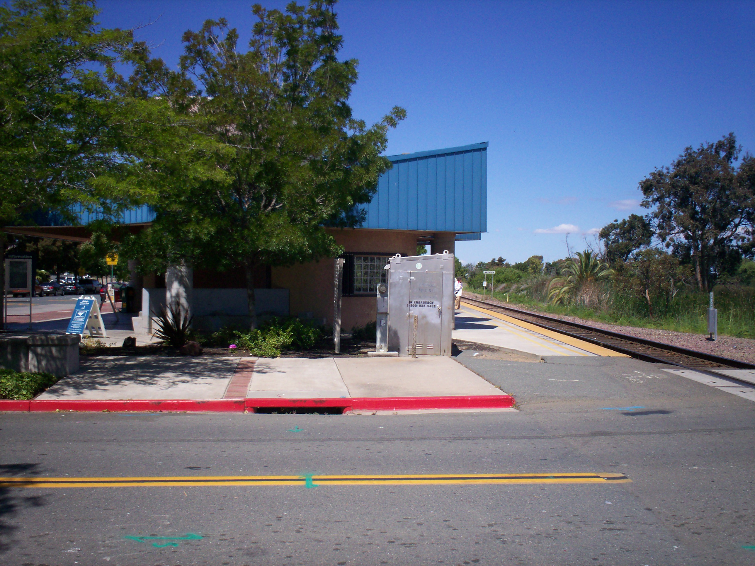
View of Antioch, California, Amtrak station.
Arts, culture and science
Antioch currently has 4 Historic Places or Buildings on the National Register of Historical Places. The Black Diamond Mines, Roswell Butler Hard House, Riverview Union High School Building and the Shannon-Williamson Ranch.
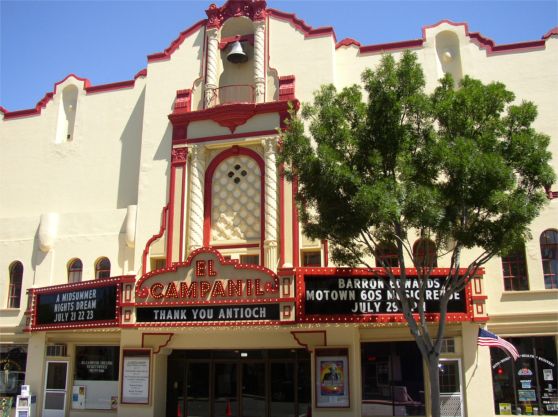
 El Campanil Theatre
El Campanil Theatre
The historic El Campanil Theatre [28] opened on November 1, 1928 in downtown Antioch. It now presents a wide variety of entertainment opportunities including Classic Films, Live Theatre, Concerts, Symphony, Ballet, Comedy and is host to numerous local dance and community based organizations such as the Antioch Rivertown Theatre Group.
Arts and Cultural Foundation of Antioch
The Arts & Cultural Foundation of Antioch [1] organizes education in graphic arts, sculpture, pottery, and performance arts for various age groups. It also hosts the Saturday Summer Concert Series, Delta Blues Festival [2], Holiday De Lights along with other community events.
Antioch Historical Society Museum
Run by the Antioch Historical Society [3], the museum is located in the Riverview Union High School Building. This high school was the first high school constructed in Contra Costa County. It houses moving historical exhibits and offers tours of the grounds.
Lynn House Gallery
The Lynn House Gallery [29] houses exhibits throughout the year, with an emphasis on providing opportunities for local artists.
Rivertown Art Center
Rivertown Art Center is housed in a historic bank building built in 1923. It is administered by the Arts & Cultural Foundation of Antioch and was created to allow local artists additional opportunities to exhibit their art and to conduct art classes.
ESPACE Academy
The ESPACE Academy [4] is located within Deer Valley High School and includes a planetarium.
Government
Public safety
The city is protected by Contra Costa Fire and the Antioch Police Department.
Education
Public schools are run by the Antioch Unified School District, which consists of four high schools, four middle schools, and numerous elementary schools. The four high schools are Antioch High School, Deer Valley High School, Dozier-Libbey Medical High School and Delta Academy for the Performing Arts. The four middle schools are Antioch Middle School, Park Middle School, Black Diamond Middle School, and Dallas Ranch Middle School. All schools in the district follow a single track schedule, where school begins in late August or early September and concludes in June.
The private schools are primarily religious. The private high schools are: Heritage Baptist Academy (K-12), Delta Christian High School, Cornerstone Christian Academy, and Promised Land Christian High School. The private primary and middle schools are: Cornerstone Christian Academy, Holy Rosary Elementary School [5], Hilltop Christian School, Kinder Care Learning Center, Antioch Christian School, Golden Hills Christian School, and Great Beginnings Elementary School.
Antioch is also home to Western Career College, located on Lone Tree Way. Also Antioch has one school for CPR and First Aid Training, Event First Aid & Safety Services located at 201 G Street, 2nd and G streets.
Public libraries
The Antioch Library of the Contra Costa County Library is located in Antioch, across the street from Antioch Middle School.[30]
Media
Antioch, CA is served by the Antioch Press,[31] published by Brentwood Press & Publishing Corporation. Antioch Press is a weekly newspaper that is published every Friday. The current circulation is just over 4,000.
Notable residents
- Jeff Pico, a former Chicago Cubs pitcher.
- Aaron Miles, Los Angeles Dodgers' second baseman.
- Mitchell brothers, James "Jim" Lowell Mitchell and Artie Jay Mitchell, pioneers in the pornography and striptease club business, subject of two books and one movie.
- Kevin Pereira, co-host of G4's Attack of the Show!.
- Maurice Jones-Drew, running back for the Jacksonville Jaguars.
- Jeremy Newberry, center for the San Diego Chargers.
- Mark L. Schneider, the 15th director of Peace Corps (1999–2001).
- Chuck Billy, lead singer of metal band Testament
- Tyler Steelman, actor
- Jerome R. Waldie, United States politician
- Carmen Dragon was an American conductor, composer and arranger. Father of Daryl Dragon of the 1970s pop music duo Captain & Tennille.
- Donovan Cook, film director and animator famous for creating 2 Stupid Dogs
- Gino Marchetti, All-American for the Baltimore Colts.
- Frank Beede
- Mike Lucky
Fraternal orders
- Antioch, Brentwood Masonic Lodge #175, Established 1850
- Fraternal Order of Eagles, Antioch Aerie No. 785, established September 1, 1904.
- Improved Order of Red Men, related to the Sons of Liberty, the group that participated in the Boston Tea Party.
- Independent Order of Odd Fellows
- Antioch Encampment No. 114, I. O. O. F., was founded on October 9, 1908
- Mizpah Rebekah Lodge, instituted June 28, 1888. The Mizpah Lodge is one of the prominent social as well as fraternal societies of the city.
- San Joaquin Lodge No. 151 established January 9, 1869. Located on the corner of H and Second Street, this lodge is one of the largest and most important in Contra Costa County.
- Loyal Order of Moose, Antioch Lodge No. 1612, organized in February, 1915.
- Native Sons of the Golden West, General Winn Parlor No. 32 established July 26, 1884. Every year since its organization it has held a grand masque ball, which has become one of the principal social events of the year. For the last eight years this parlor has given an annual amateur theatrical performance, the entire proceeds being donated to the Homeless Children Fund.
- Young Men's Institute
Sister cities
References
- ^ U.S. Census
- ^ Both U.S. Geological Survey Geographic Names Information System: Antioch, California
- ^ a b c Durham, David L. (1998). California's Geographic Names: A Gazetteer of Historic and Modern Names of the State. Quill Driver Books. p. 595. ISBN 9781884995149.
- ^ Gudde, Erwin; William Bright (2004). California Place Names (Fourth ed. ed.). University of California Press. p. 15. ISBN 0-520-24217-3.
- ^ Contra Costa County History
- ^ Images of Antioch (First. ed.). Arcadia Publishing. 2005. p. 107. ISBN 978-0-7385-3029-1.
- ^ Bulwa, Demian (September 2, 2009). "Crime Scene : Dugard case: The circus comes to town". The San Francisco Chronicle. http://www.sfgate.com/cgi-bin/blogs/crime/detail?&entry_id=46730.
- ^ Google cached page
- ^ Adams, Guy (September 2, 2009). "How Jessica's Law turned Antioch into a paedophile ghetto". The Independent (London). http://www.independent.co.uk/news/world/americas/how-jessicas-law-turned-antioch-into-a-paedophile-ghetto-1780287.html. Retrieved April 25, 2010.
- ^ "CNN.com". CNN. http://transcripts.cnn.com/TRANSCRIPTS/0909/02/acd.02.html.
- ^ Transcript
- ^ Antioch not the sex offender rat's nest that media suggest, data show, By John Simerman, Contra Costa Times. Ranked in the top ten were Oakland (94612 4.4/k, 94607 3.1/k) San Francisco (94103 3.5/k, 94102 3.1/k) San Jose (95126 3.5/k, 95112 3.2/k), Bethel Island (94511 4.2/k), Vallejo (94590 3.3/k) Alviso (95002 2.8/k), and Monte Rio (95462), which ranked first with 4.5 per 1000.
- ^ U.S. Geological Survey Geographic Names Information System: Antioch, California
- ^ Rendon, JIm (Nov.-Dec., 1999). "Owl Be Damned:Developers plow into the homes of the burrowing owl". Metro, Silicon Valley's Weekly Newspaper. http://www.metroactive.com/papers/metro/11.24.99/cover/species5-9947.html.
- ^ Donna Whitmarsh. "Antioch Developer Evicts Burrowing Owls". Bay Nature. http://baynature.org/articles/web-only-articles/burrowing-owls-antioch/?searchterm=burrowing%20owl. Retrieved Jan. 1, 2010.
- ^ Hilary Costa (11/08/09). "Wildlife returns to abandoned Contra Costa County subdivisions". Contra Costa Times. http://www.contracostatimes.com/top-stories/ci_13725999. Retrieved Jan. 1, 2010.
- ^ Katherine Tam (Jan. 3, 2010). "Owl advocates protest birds relocation". Contra Costa Times. http://www.contracostatimes.com/news/ci_14115773?nclick_check=1. Retrieved Jan. 3, 2010.
- ^ Joe Eaton (Jan. 14, 2010). "Wild Neighbors: Antioch Owls Face Evicition". Berkeley Daily Planet. http://www.berkeleydailyplanet.com/issue/2010-01-14/article/34485?headline=Wild-Neighbors-Antioch-Owls-Face-Evicition. Retrieved Jan. 14, 2010.
- ^ Paul Burgarino (March 19, 2010). "Owls at Antioch subdivision may have new home". Contra Costa Times. http://friendsofeastbayowls.org/News/CCTIMES-AntiochOwls032010.pdf. Retrieved June 27, 2010.
- ^ Recreation.gov
- ^ City Services City of Antioch. accessed August 22, 2011.
- ^ "Table 1: Annual Estimates of the Resident Population for Incorporated Places Over 100,000, Ranked by July 1, 2008 Population: April 1, 2000 to July 1, 2008 (SUB-EST2008-01)" (CSV). 2008 Population Estimates. United States Census Bureau, Population Division. 2009-07-01. http://www.census.gov/popest/cities/tables/SUB-EST2008-01.csv. Retrieved 2010-02-13.
- ^ Moffatt, Riley. Population History of Western U.S. Cities & Towns, 1850-1990. Lanham: Scarecrow, 1996, 19.
- ^ "Subcounty population estimates: California 2000-2007" (CSV). United States Census Bureau, Population Division. 2009-03-18. http://www.census.gov/popest/cities/files/SUB-EST2007-6.csv. Retrieved 2009-05-10.
- ^ All data are derived from the United States Census Bureau reports from the 2010 United States Census, and are accessible on-line here. The data on unmarried partnerships and same-sex married couples are from the Census report DEC_10_SF1_PCT15. All other housing and population data are from Census report DEC_10_DP_DPDP1. Both reports are viewable online or downloadable in a zip file containing a comma-delimited data file. The area data, from which densities are calculated, are available on-line here. Percentage totals may not add to 100% due to rounding. The Census Bureau defines families as a household containing one or more people related to the householder by birth, opposite-sex marriage, or adoption. People living in group quarters are tabulated by the Census Bureau as neither owners nor renters. For further details, see the text files accompanying the data files containing the Census reports mentioned above.
- ^ "American FactFinder". United States Census Bureau. http://factfinder.census.gov. Retrieved 2008-01-31.
- ^ City of Antioch CAFR
- ^ http://www.elcampaniltheatre.com/history.htm
- ^ http://art4antioch.org/Lynn_House.htm
- ^ "Antioch Library." Contra Costa County Library. Retrieved on April 1, 2010.
- ^ http://www.usnewspapers.com
External links
- City of Antioch Official Website
- Tri Delta Transit Official Website
- Antioch Local News (Antioch Press)
- Antioch Unified School District
- Friends of East Bay Owls website
Municipalities and communities of Contra Costa County, California Cities and towns 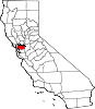
CDPs Acalanes Ridge | Alamo | Alhambra Valley | Bay Point | Bayview | Bethel Island | Blackhawk | Byron | Camino Tassajara | Castle Hill | Clyde | Contra Costa Centre | Crockett | Diablo | Discovery Bay | East Richmond Heights | El Sobrante | Kensington | Knightsen | Montalvin Manor | Mountain View | Norris Canyon | North Gate | North Richmond | Pacheco | Port Costa | Reliez Valley | Rodeo | Rollingwood | San Miguel | Saranap | Shell Ridge | Tara Hills | Vine Hill
Unincorporated
communitiesAlamo Oaks | Arbor | Avon | Bancroft | Bayo Vista | Bayview-Montalvin | Bixler | Blackhawk-Camino Tassajara | Bridgehead | Canyon | Christie | Cornwall | Crolona Heights | Diamond | Eastport | Four Corners | Franklin Canyon | Gateley | Glen Frazer | Hasford Heights | Herpoco | Hookston | Las Juntas | Los Medanos | Luzon | Maltby | Marsh Creek Springs | McAvoy | Meinert | Monsanto | Muir | Neroly | Newlove | Nichols | Oleum | Orinda Village | Orwood | Ozol | Rheem | Rock City | Selby | Shore Acres | Sobrante | Sparkle | Stege | Tassajara | Tormey | Valle Vista | Valona | Waldon | Walnut Heights | Werner
Ghost towns Acelanus | Ambrose | Atchison | Eckley | Empire | Hooper | Horse Haven | Judsonville | Junction | Nortonville | Ohmer | Point of Timber | Port Chicago | Schmidtville | Somersville | Stewartville | Tammukan | West Hartley | Winehaven

Rio Vista Pittsburg 
Oakley • Stockton  Antioch

Livermore Brentwood • Tracy Categories:- Populated places established in 1850
- Incorporated cities and towns in California
- Cities in Contra Costa County, California
- Cities in the San Francisco Bay Area
- Antioch, California
- Sacramento-San Joaquin Delta


Wikimedia Foundation. 2010.