- National Register of Historic Places listings in Bergen County, New Jersey
-
List of the National Register of Historic Places listings in Bergen County, New Jersey
Contents: Counties in New Jersey Atlantic - Bergen - Burlington - Camden - Cape May - Cumberland - Essex - Gloucester - Hudson - Hunterdon - Mercer - Middlesex - Monmouth - Morris - Ocean - Passaic - Salem - Somerset - Sussex - Union - Warren This is intended to be a complete list of properties and districts listed on the National Register of Historic Places in Bergen County, New Jersey. The locations of National Register properties and districts (at least for all showing latitude and longitude coordinates below) may be seen in a Google map by clicking on "Map of all coordinates".[1]
-
- This National Park Service list is complete through NPS recent listings posted November 10, 2011.[2]
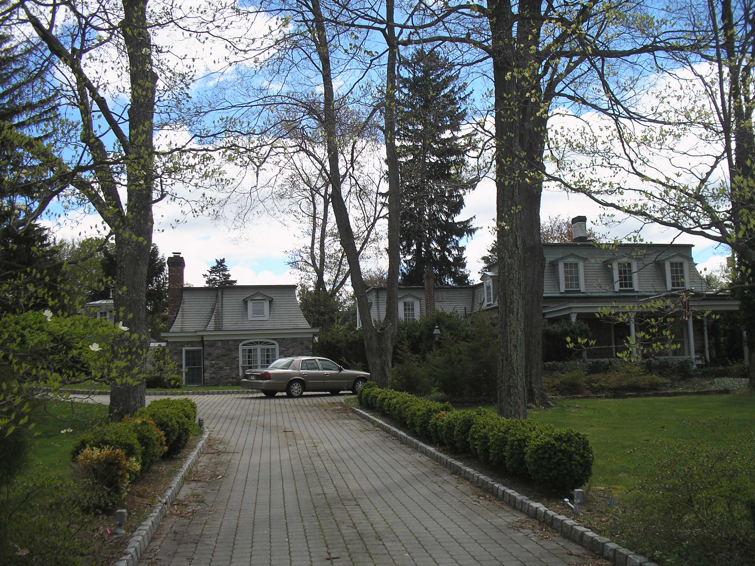
Current listings
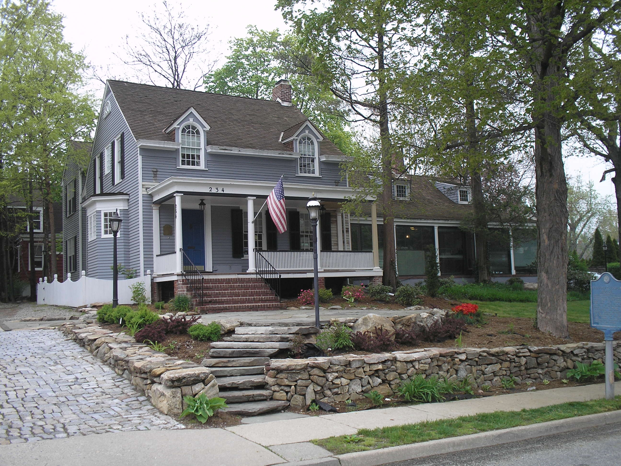
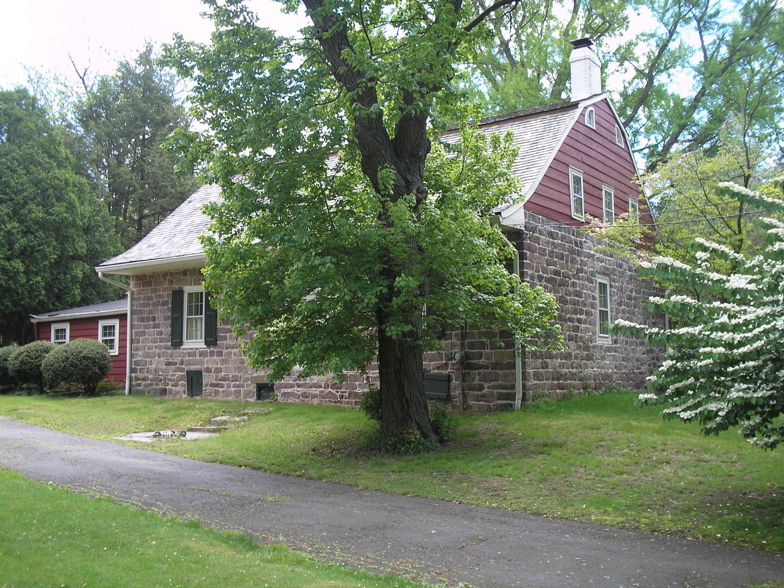
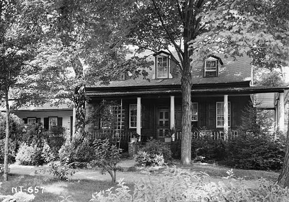
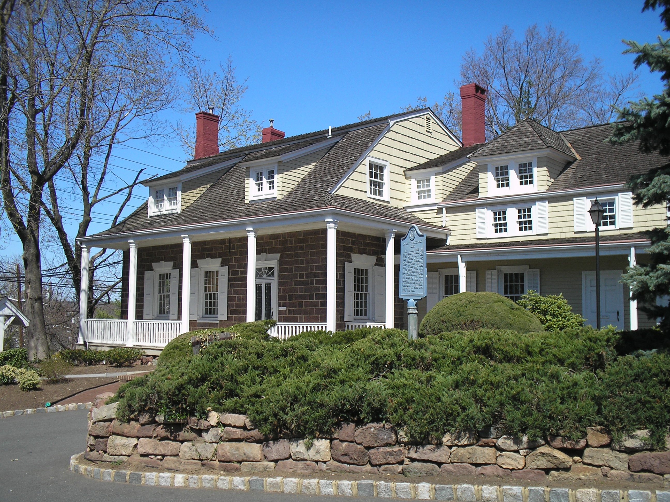
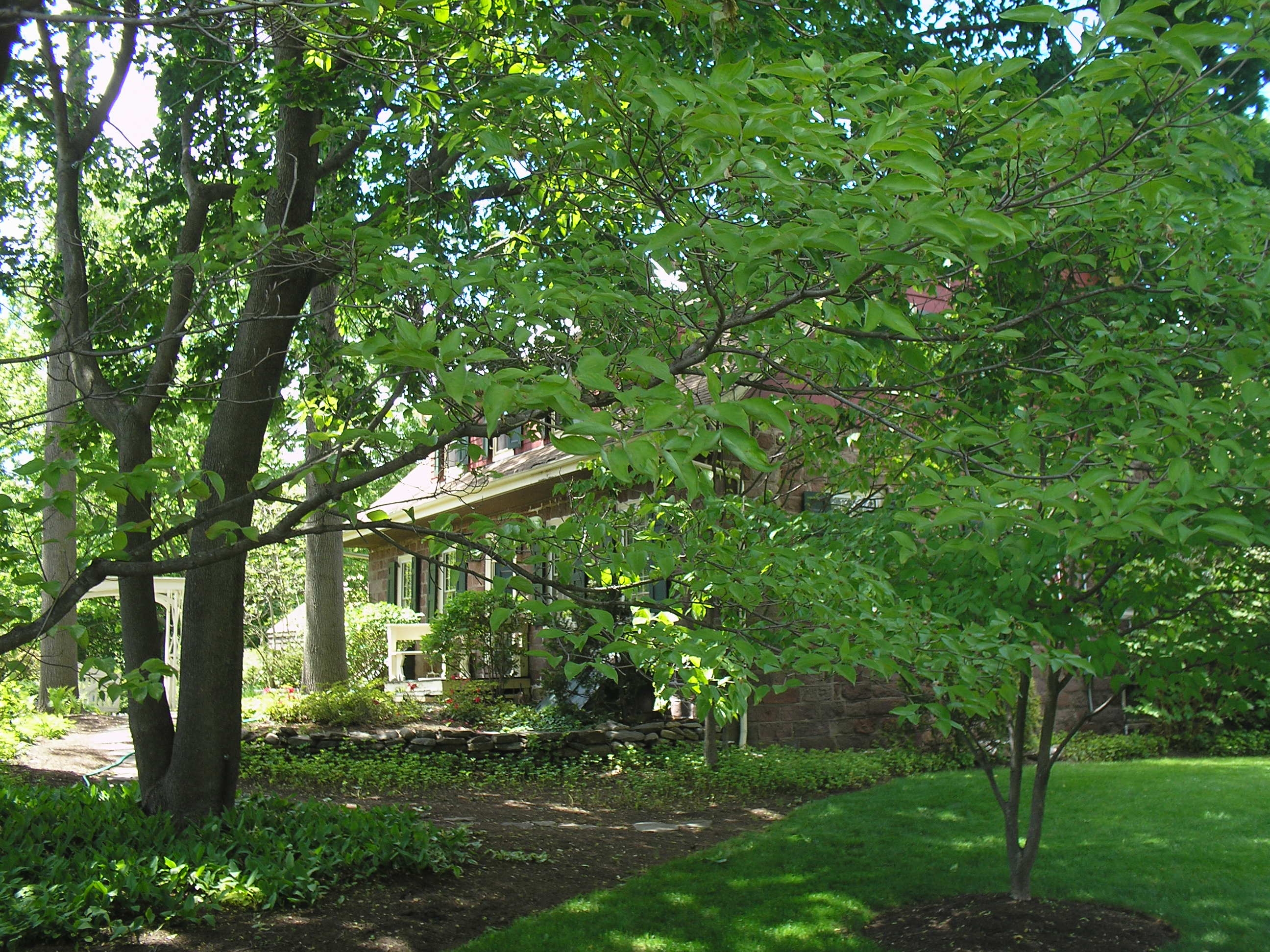
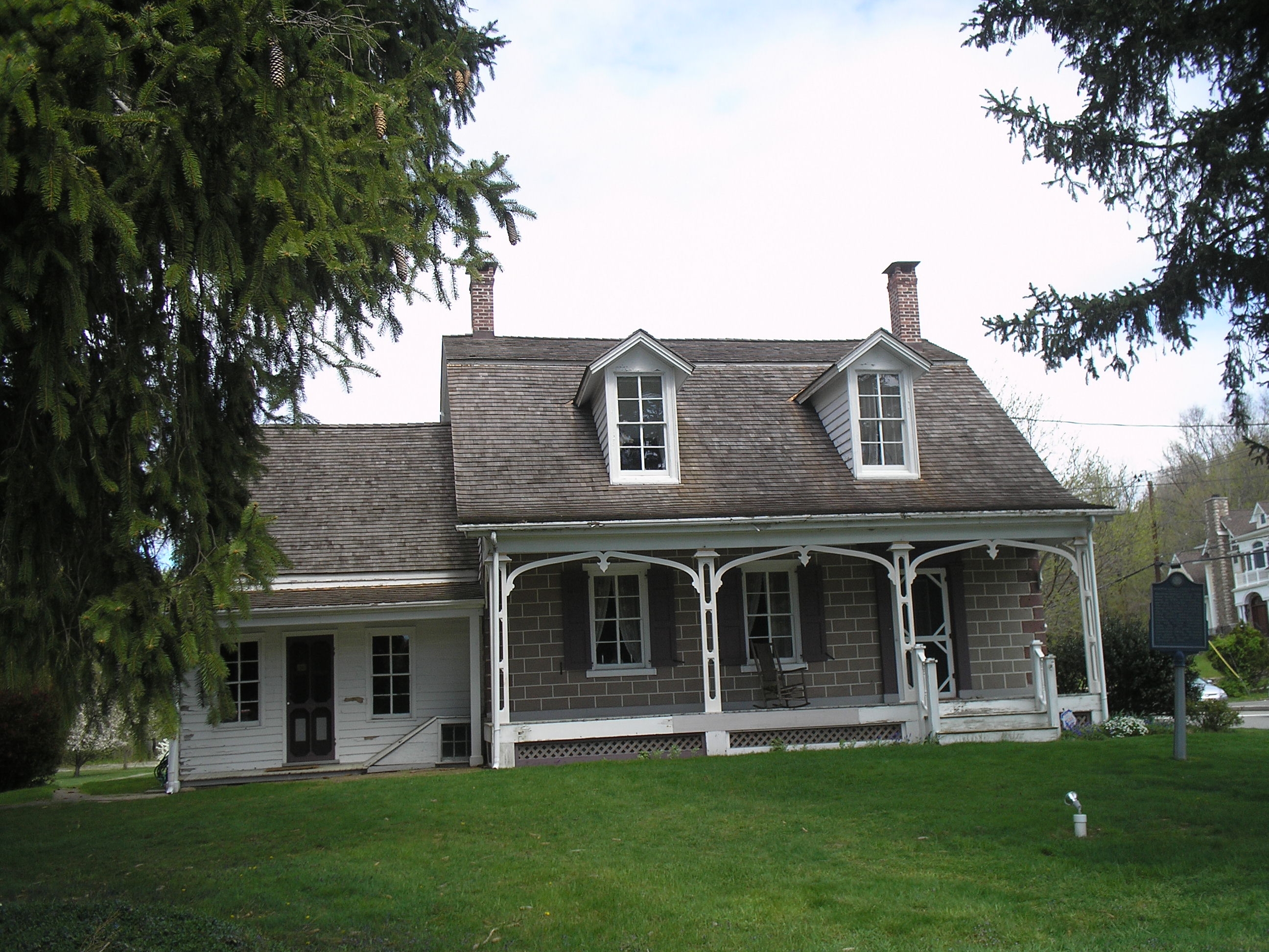
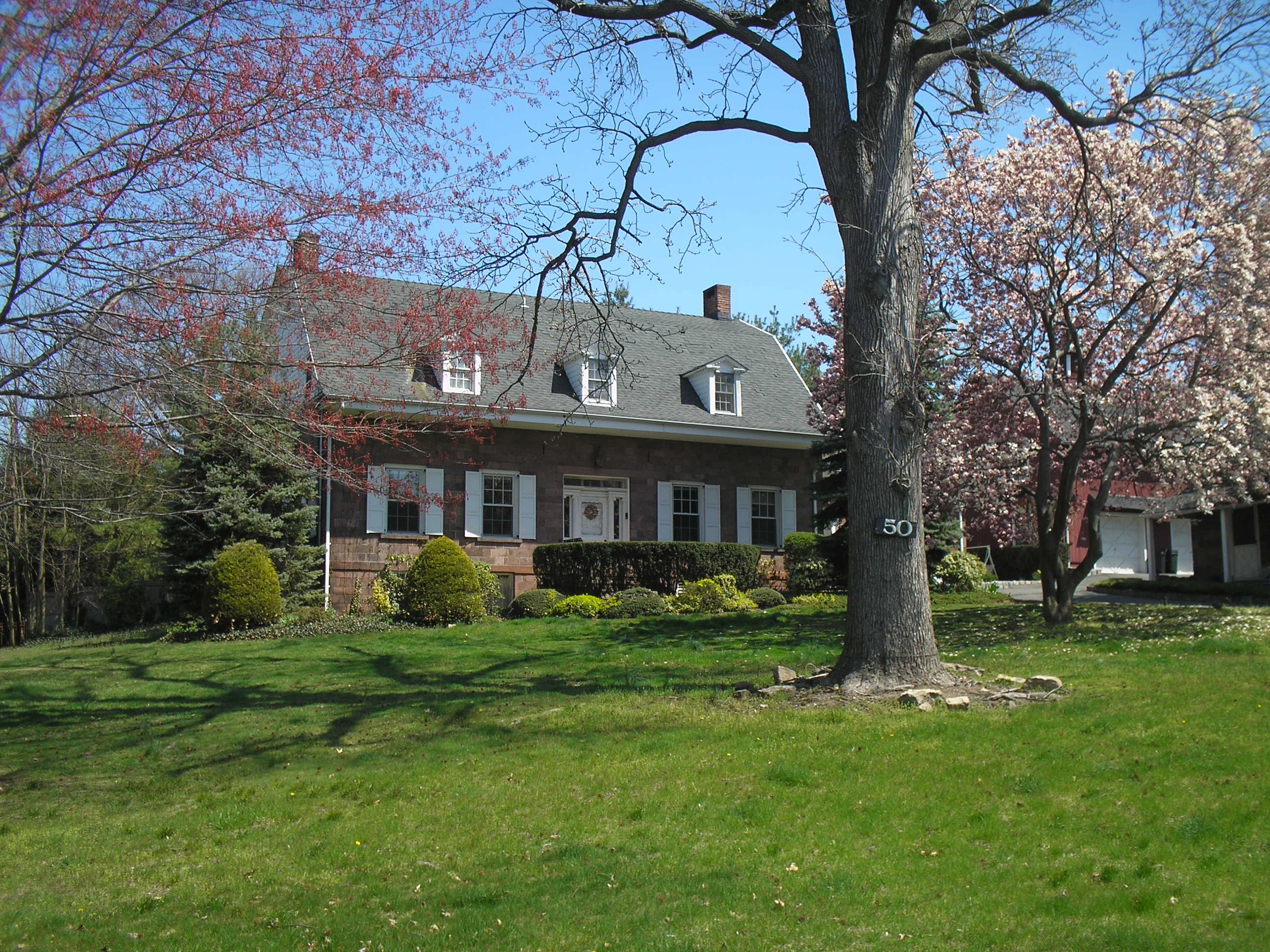
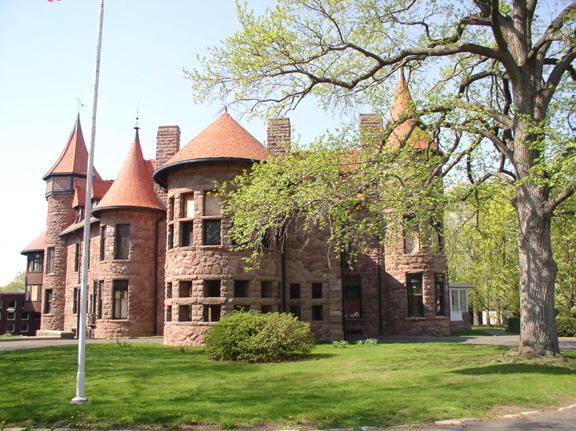
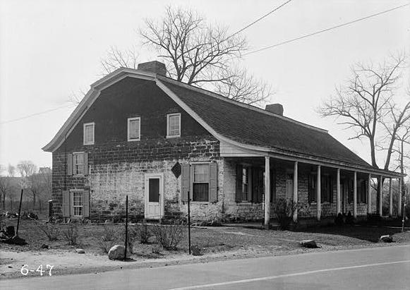
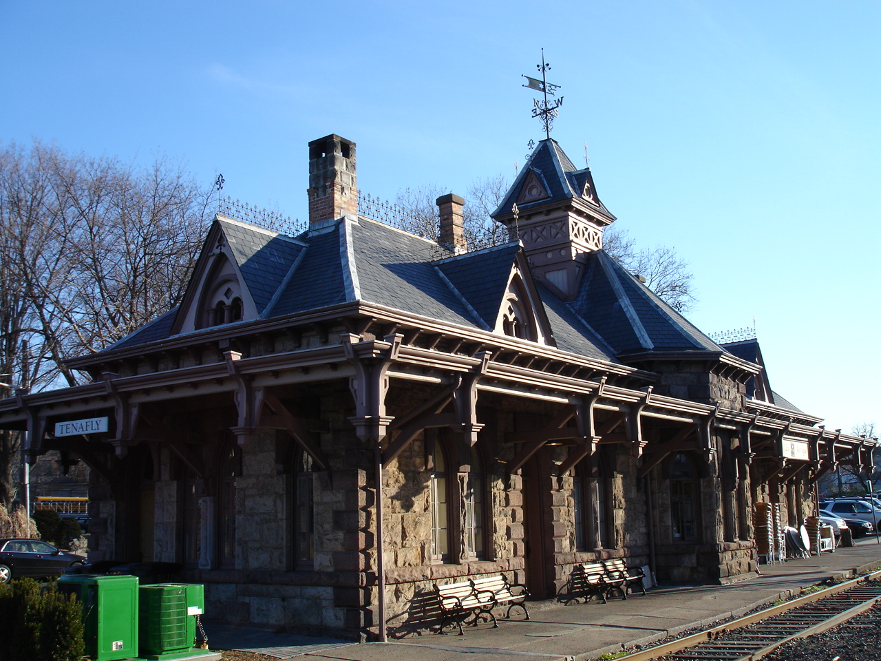
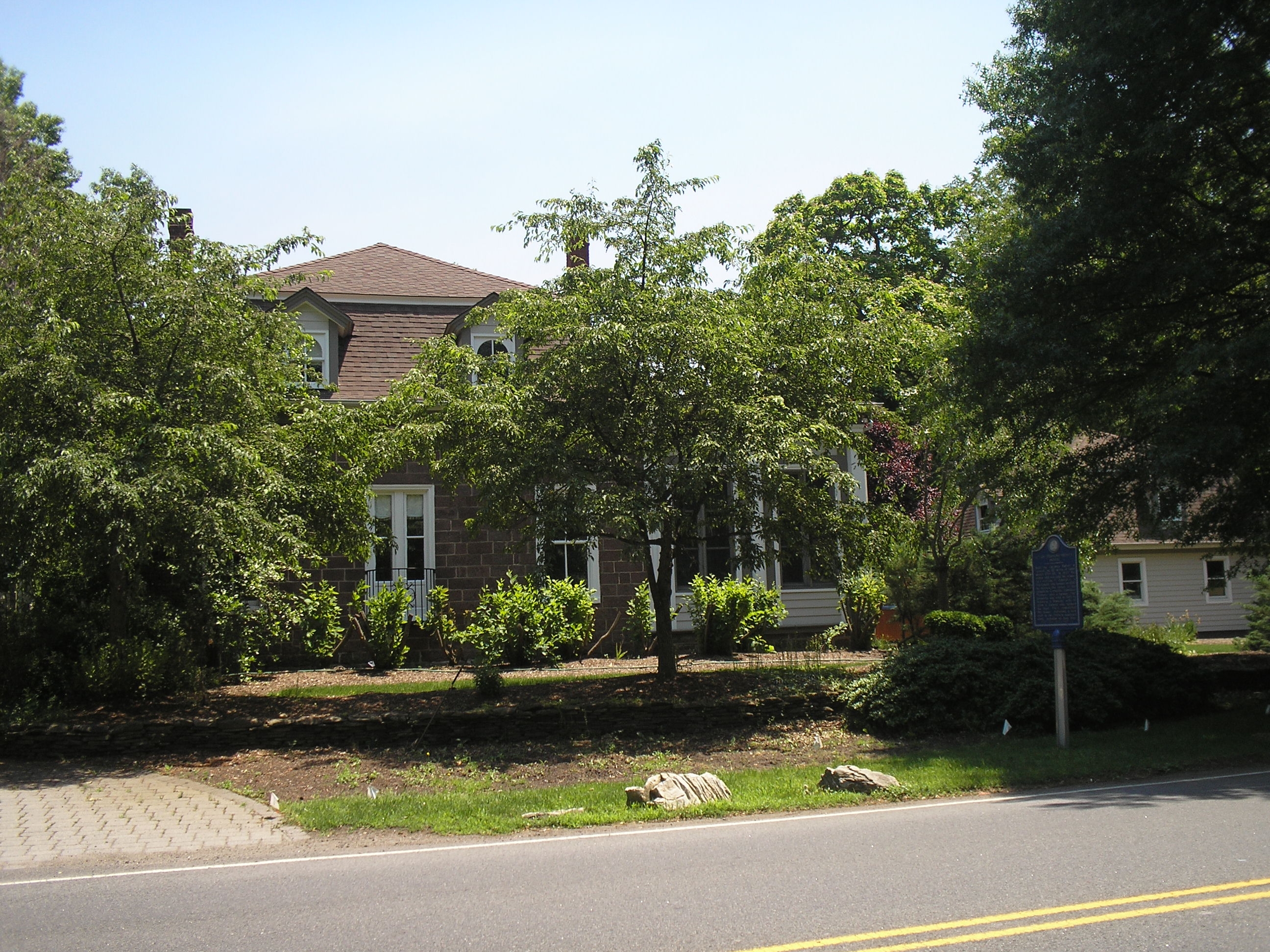
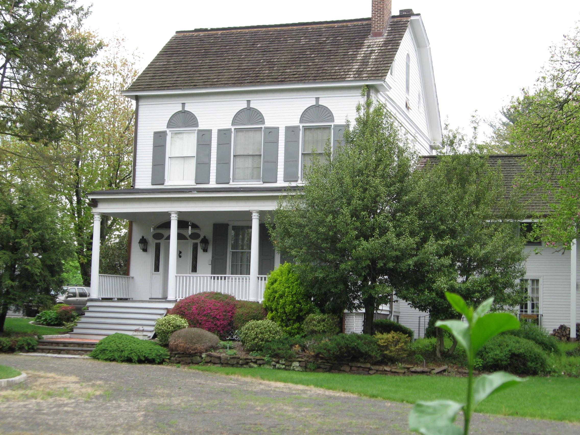
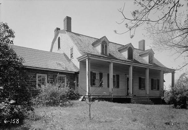
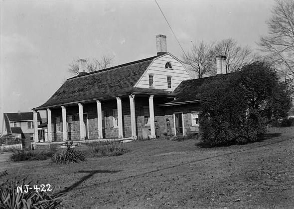
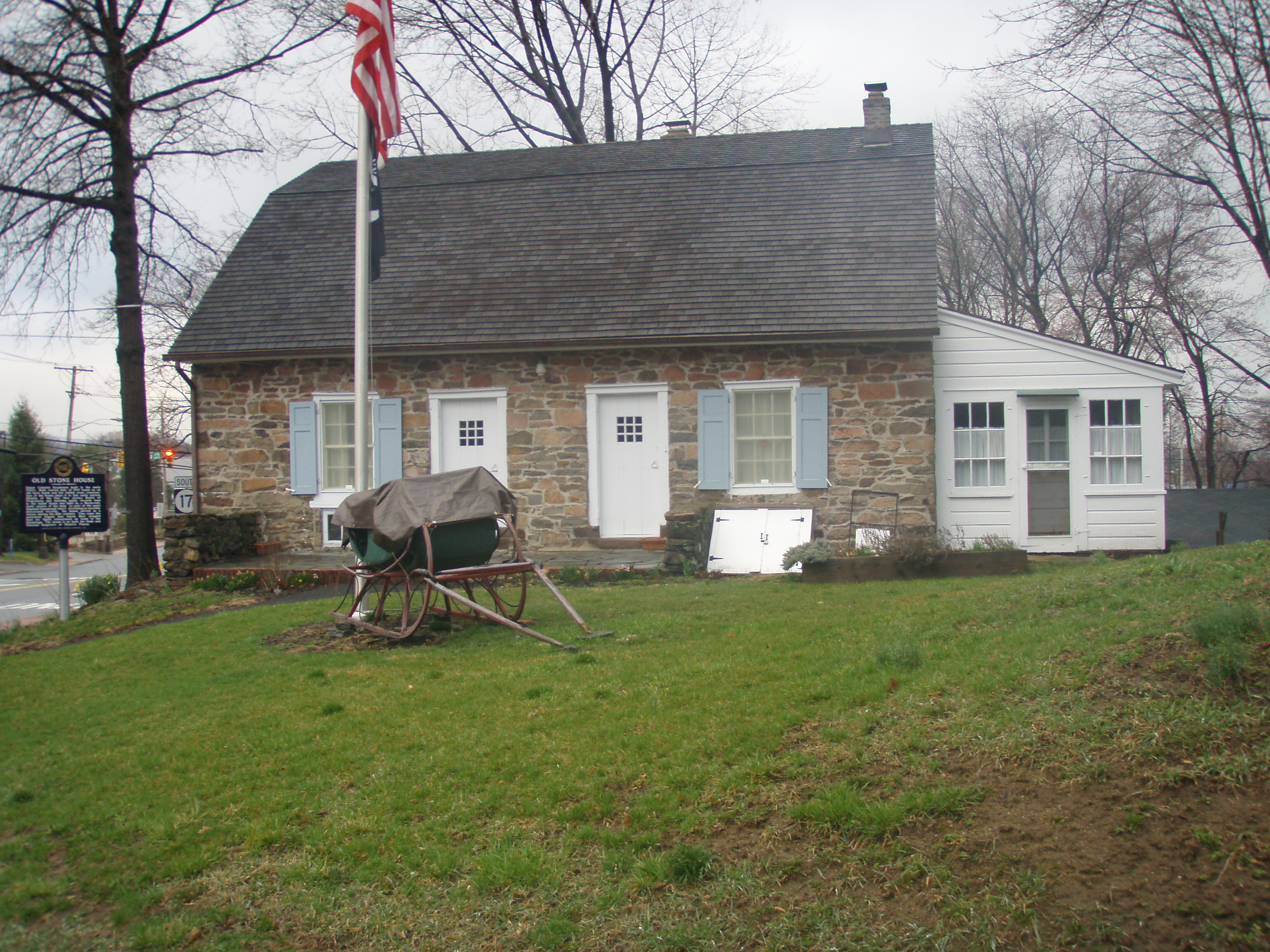
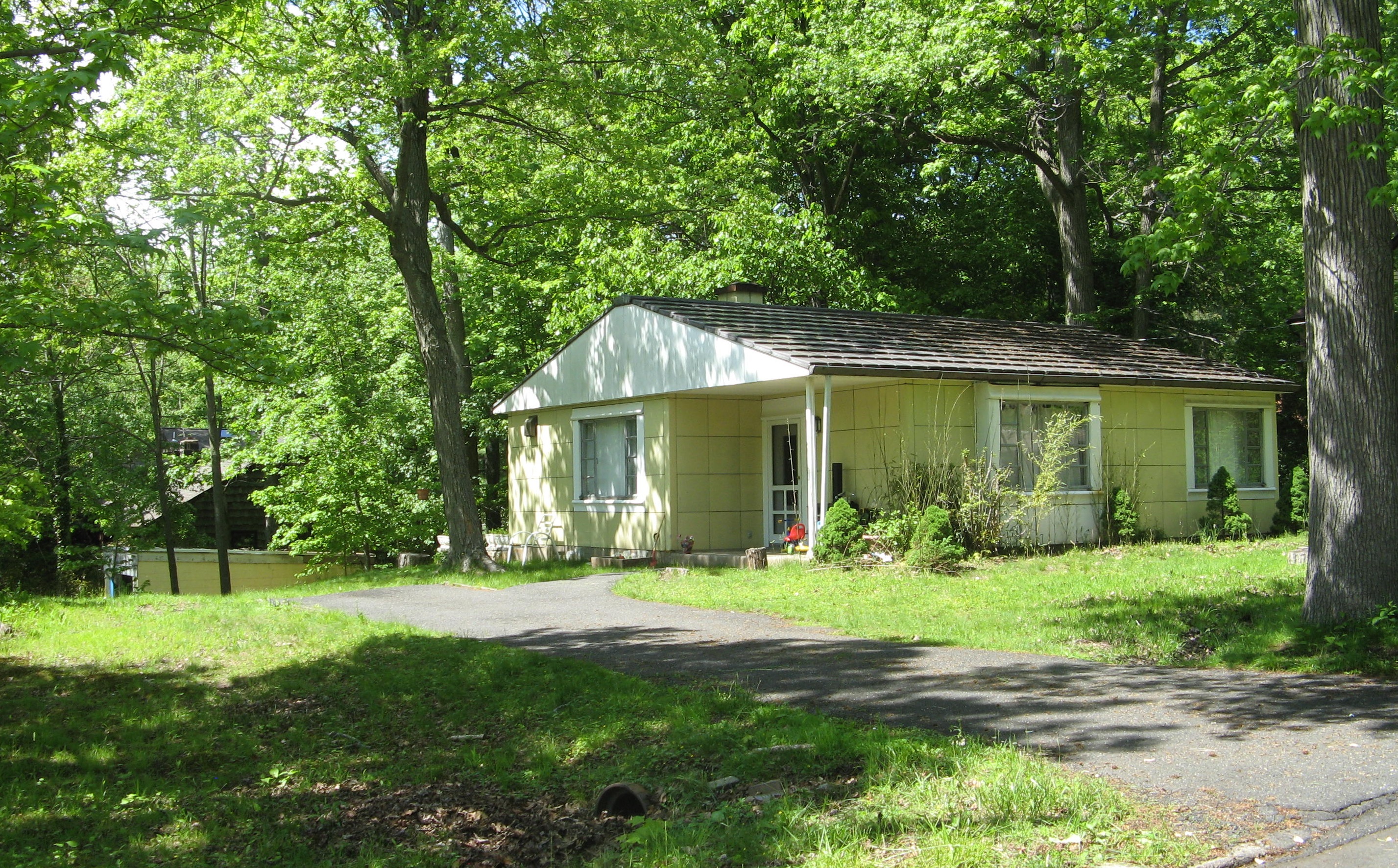
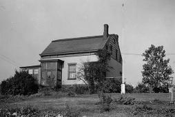
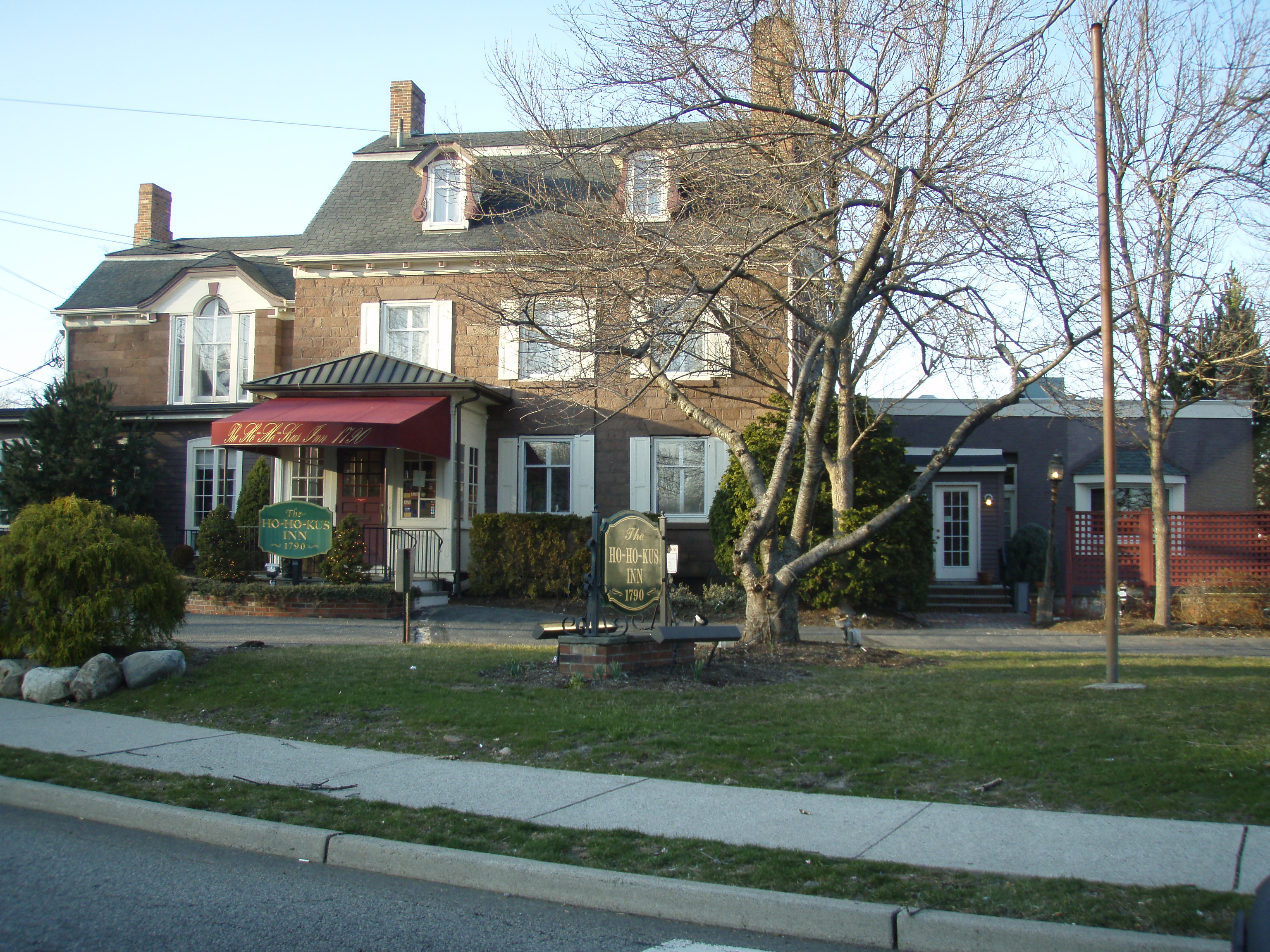
[3] Landmark name [4] Image Date listed Location City or town Summary 1 Achenbach House April 18, 1979 184 Chestnut Ridge Rd.
41°02′13″N 74°04′53″W / 41.036944°N 74.081389°WSaddle River Built in 1757. Destroyed by fire in 2004. 2 Ackerman House (222 Doremus Avenue) January 10, 1983 222 Doremus Ave.
40°58′23″N 74°07′37″W / 40.973056°N 74.126944°WRidgewood 3 Ackerman House (252 Lincoln Avenue) January 10, 1983 252 Lincoln Ave.
40°58′29″N 74°08′05″W / 40.974722°N 74.134722°WRidgewood 4 Ackerman House (Saddle River) 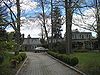
January 10, 1983 136 Chestnut Ridge Rd.
41°01′42″N 74°05′07″W / 41.028333°N 74.085278°WSaddle River 5 Abram Ackerman House 
January 10, 1983 199 E. Saddle River Rd.
41°02′11″N 74°05′59″W / 41.036389°N 74.099722°WSaddle River 6 David Ackerman House 
January 10, 1983 415 E. Saddle River
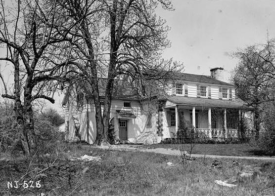
40°59′06″N 74°05′20″W / 40.985°N 74.088889°WRidgewood 7 Garret and Maria Ackerman House August 29, 1986 150 E. Saddle River Rd.
41°01′41″N 74°05′43″W / 41.028056°N 74.095278°WSaddle River 8 Garret Augustus Ackerman House August 29, 1986 212 E. Saddle River Rd.
41°02′16″N 74°06′03″W / 41.037778°N 74.100833°WSaddle River 9 Ackerman-Dewsnap House 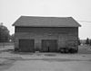
August 29, 1986 176 E. Saddle River Rd.
41°02′00″N 74°05′56″W / 41.033303°N 74.098967°WSaddle River 10 Ackerman-Smith House August 29, 1986 171 E. Allendale Rd.
41°02′09″N 74°04′58″W / 41.035833°N 74.082778°WSaddle River 11 Ackerman-Boyd House January 9, 1983 1095 Franklin Lake Rd.
40°59′59″N 74°14′14″W / 40.999722°N 74.237222°WFranklin Lakes 12 Ackerman-Dater House January 10, 1983 109 W. Saddle River Rd.
41°01′36″N 74°06′10″W / 41.026622°N 74.102892°WSaddle River 13 Ackerman-Demarest House January 10, 1983 745 E. Saddle River Rd.
40°59′41″N 74°05′27″W / 40.994806°N 74.090886°WHo-Ho-Kus 14 Ackerman-Hopper House January 9, 1983 652 Ackerman Ave.
40°57′37″N 74°06′59″W / 40.960278°N 74.116389°WGlen Rock 15 Ackerman-Van Emburgh House January 10, 1983 789 E. Glen Ave.
40°59′03″N 74°05′19″W / 40.984167°N 74.088611°WRidgewood 16 Ackerman-Zabriskie-Steuben House January 10, 1983 1209 Main St.
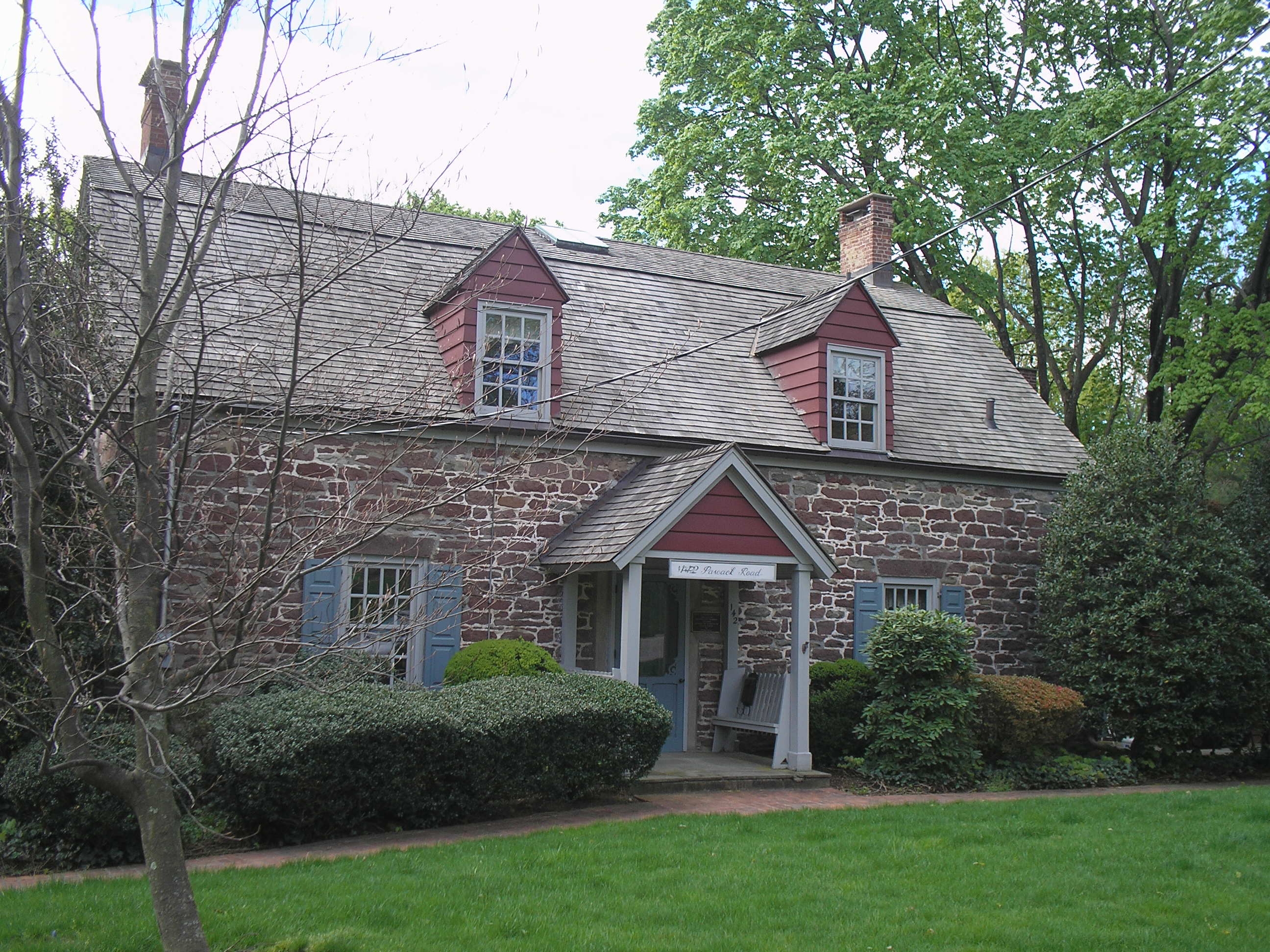
40°54′46″N 74°01′55″W / 40.912683°N 74.031875°WRiver Edge 17 John G. Ackerson House 
January 10, 1983 142 Pascack Rd.
41°02′14″N 74°02′27″W / 41.037111°N 74.040917°WPark Ridge 18 Alcoa Edgewater Works August 10, 1978 700 River Rd.
40°49′12″N 73°58′46″W / 40.82°N 73.979444°WEdgewater Demolished.[5] 19 Anderson Outkitchen August 8, 1985 18 E. Camden St.
40°53′15″N 74°02′25″W / 40.8875°N 74.040278°WHackensack 20 Archibald-Vroom House 
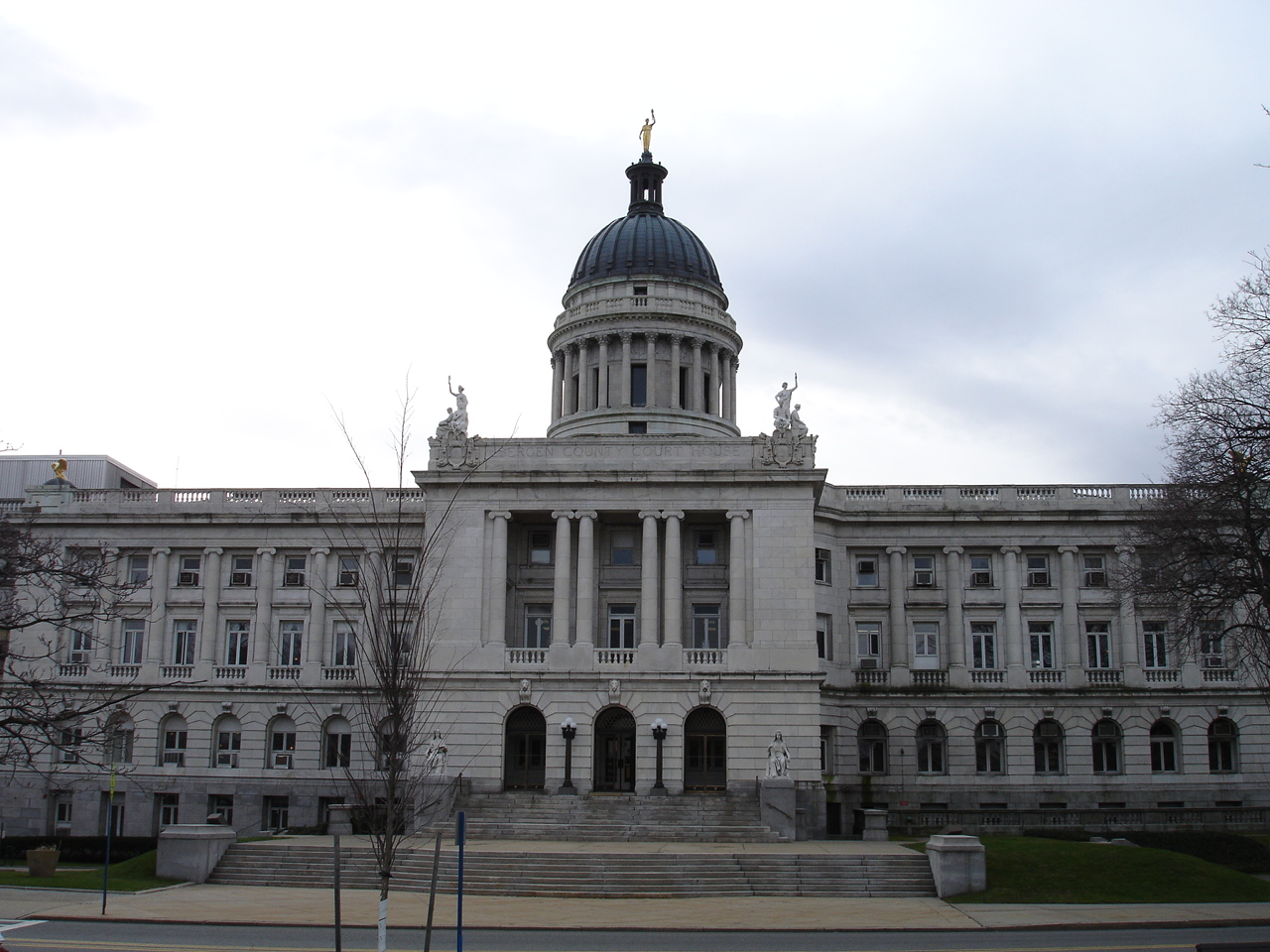
July 24, 1984 160 E. Ridgewood Ave.
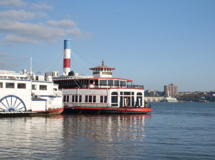
40°58′43″N 74°06′58″W / 40.978611°N 74.116111°WRidgewood 21 Fridolin Arnault House December 23, 2009 111 First St.
40°50′44″N 74°05′13″W / 40.845597°N 74.086933°WWood-Ridge 22 David Baldwin House 
January 10, 1983 60 Lake Ave.
40°58′56″N 74°08′16″W / 40.982222°N 74.137778°WMidland Park 23 Derick Banta House 
January 9, 1983 180 Washington Ave.
40°56′30″N 73°59′39″W / 40.941667°N 73.994167°WDumont 24 John Banta House 
January 9, 1983 211 Pascack Rd.
41°00′29″N 74°03′23″W / 41.008056°N 74.056389°WHillsdale 25 Banta-Coe House 
January 10, 1983 884 Lone Pine Lane
40°53′40″N 74°01′57″W / 40.894444°N 74.0325°WTeaneck 26 John Bartholf House January 9, 1983 1122 Ramapo Valley Rd.
41°03′22″N 74°12′52″W / 41.056111°N 74.214444°WMahwah 27 Beauclaire-Vreeland House January 9, 1983 88 E. Clinton Ave.
40°55′25″N 73°59′37″W / 40.923611°N 73.993611°WBergenfield 28 Beech Street School 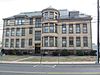
March 12, 1998 49 Cottage Place
40°58′47″N 74°06′53″W / 40.979647°N 74.114825°WRidgewood 29 John G. Benson House 
January 9, 1983 60 Grand Ave.
40°53′27″N 73°58′30″W / 40.890833°N 73.975°WEnglewood 30 G. V. H. Berdan House January 9, 1983 1219 River Rd.
40°55′53″N 74°07′56″W / 40.931389°N 74.132222°WFair Lawn 31 Richard J. Berdan House January 9, 1983 24-07 Fair Lawn Ave.
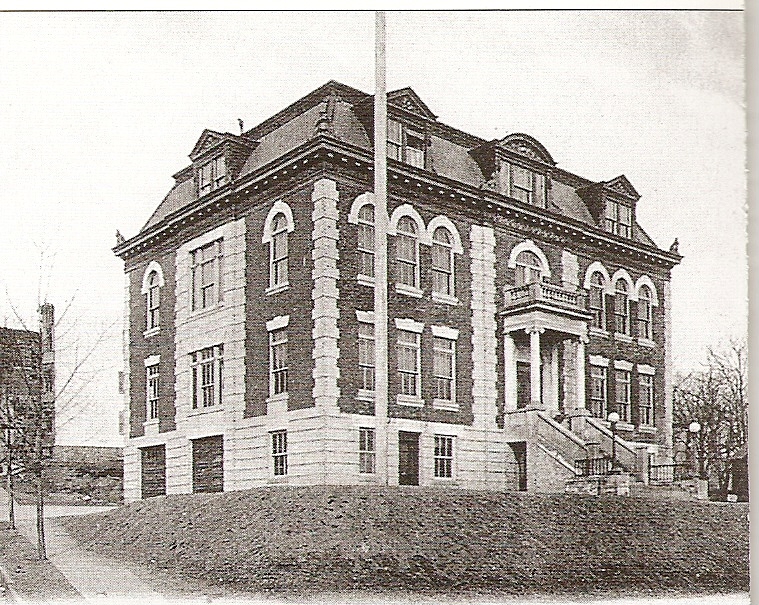
40°56′23″N 74°07′11″W / 40.939722°N 74.119722°WFair Lawn 32 Bergen County Court House Complex 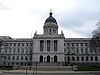
January 11, 1983 Court, Main and Essex Sts.
40°52′41″N 74°02′38″W / 40.878056°N 74.043889°WHackensack 33 Binghamton (ferryboat) 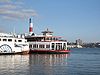
July 9, 1982 725 River Rd.
40°49′10″N 73°58′33″W / 40.819444°N 73.975833°WEdgewater 34 Blackledge-Gair House January 9, 1983 111 Madison Ave.
40°56′31″N 73°58′04″W / 40.941944°N 73.967778°WCresskill 35 Blackledge-Kearney 
July 24, 1984 Alpine Landing
40°56′49″N 73°55′29″W / 40.946944°N 73.924722°WAlpine 36 Capt. Thomas Blanch House January 10, 1983 130 Tappan Rd.
40°59′39″N 73°57′55″W / 40.994167°N 73.965278°WNorwood Destroyed by fire in 1997.[6] 37 Blanch-Haring House 
January 9, 1983 341 Lafayette Rd.
40°59′27″N 73°58′33″W / 40.990833°N 73.975833°WHarrington Park 38 Blauvelt House (Harrington Park) 
January 9, 1983 622 Lafayette Rd.
41°00′00″N 73°58′29″W / 41.0°N 73.974722°WHarrington Park 39 Blauvelt House (Franklin Lakes) August 8, 1985 205 Woodside Ave.
41°01′48″N 74°10′49″W / 41.03°N 74.180278°WFranklin Lakes 40 Blauvelt House (Norwood) January 10, 1983 54 Tappan Rd.
40°59′33″N 73°57′59″W / 40.9925°N 73.966389°WNorwood 41 Blauvelt-Demarest House January 9, 1983 230 Broadway
41°00′25″N 74°02′28″W / 41.007078°N 74.041053°WHillsdale 42 Bogert House (Bogota) January 9, 1983 4 Lynn Court
40°53′00″N 74°01′58″W / 40.883333°N 74.032778°WBogota 43 Bogert House (Demarest) January 9, 1983 324 County Rd.
40°57′43″N 73°57′39″W / 40.961944°N 73.960833°WDemarest 44 Isaac Bogert House January 10, 1983 640 Campgaw Rd.
41°02′18″N 74°11′16″W / 41.038333°N 74.187778°WMahwah 45 John Jacob Bogert House November 26, 2004 163 Bogert's Mill Rd.
40°59′05″N 73°59′33″W / 40.984592°N 73.992536°WHarrington Park 46 Brinkerhoff House 
July 24, 1984 231 Hackensack Ave.
40°50′52″N 74°04′56″W / 40.847778°N 74.082222°WWood-Ridge 47 Brinkerhoff-Demarest House 
January 10, 1983 493 Teaneck Rd.
40°52′34″N 74°00′43″W / 40.876111°N 74.011944°WTeaneck 48 Cadmus House July 24, 1984 264 Glen Rd.
41°02′08″N 74°03′58″W / 41.035464°N 74.0661°WWoodcliff Lake 49 Cadmus-Folly House January 10, 1983 19-21 Fair Lawn Ave.
40°56′19″N 74°07′24″W / 40.938611°N 74.123333°WFair Lawn 50 Cairns-Whitten-Blauvelt House January 10, 1983 160 Ravine Ave.
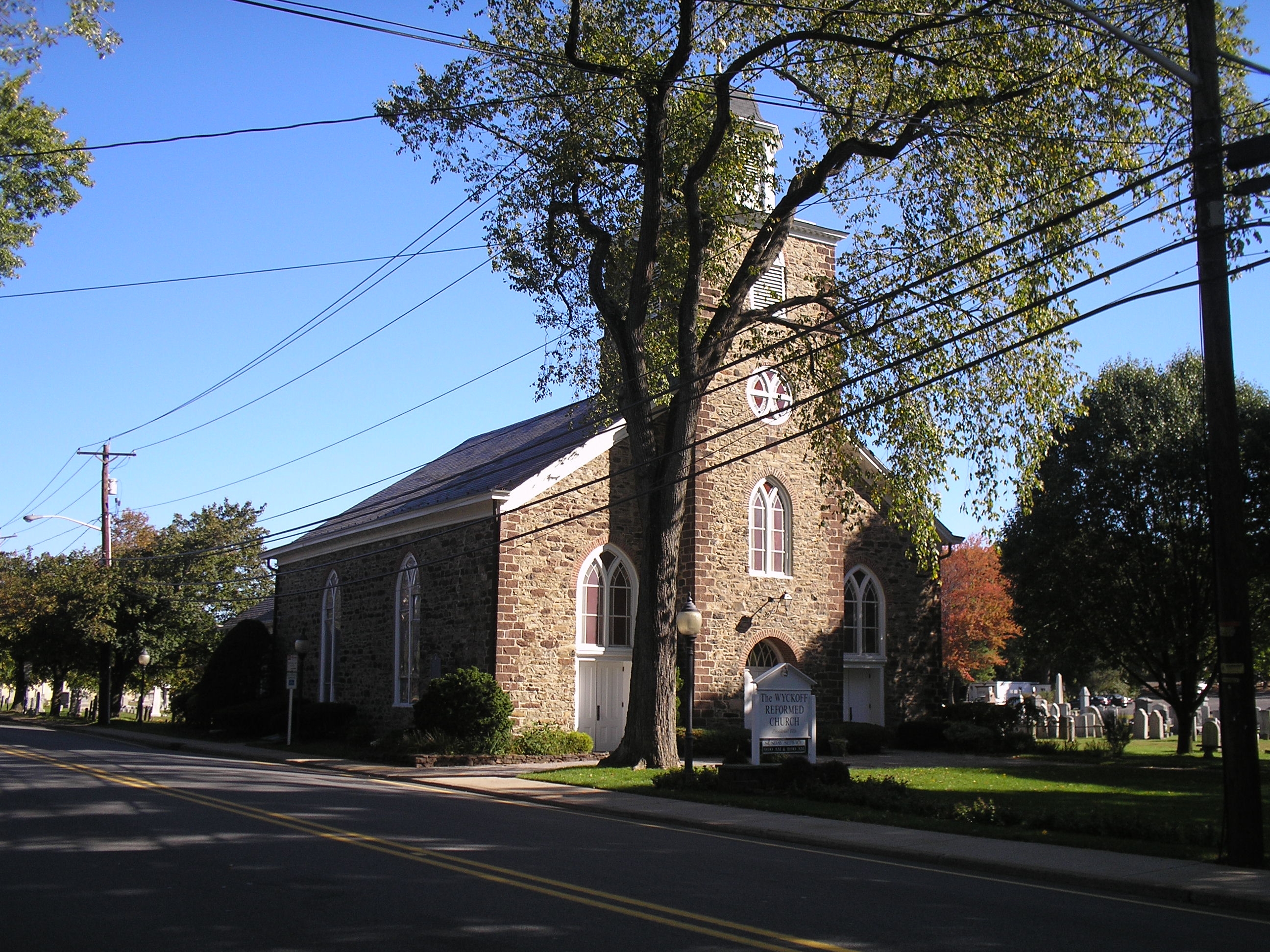
40°58′56″N 74°09′25″W / 40.982222°N 74.156944°WWyckoff 51 Campbell-Christie House 
January 10, 1983 1201 Main St.
40°54′47″N 74°01′58″W / 40.913056°N 74.032778°WRiver Edge 52 J. J. Carlock House August 29, 1986 2 Chestnut Ridge Rd.
41°00′21″N 74°05′22″W / 41.005833°N 74.089444°WSaddle River 53 Christie-Parsels House 
January 10, 1983 195 Jefferson Ave.
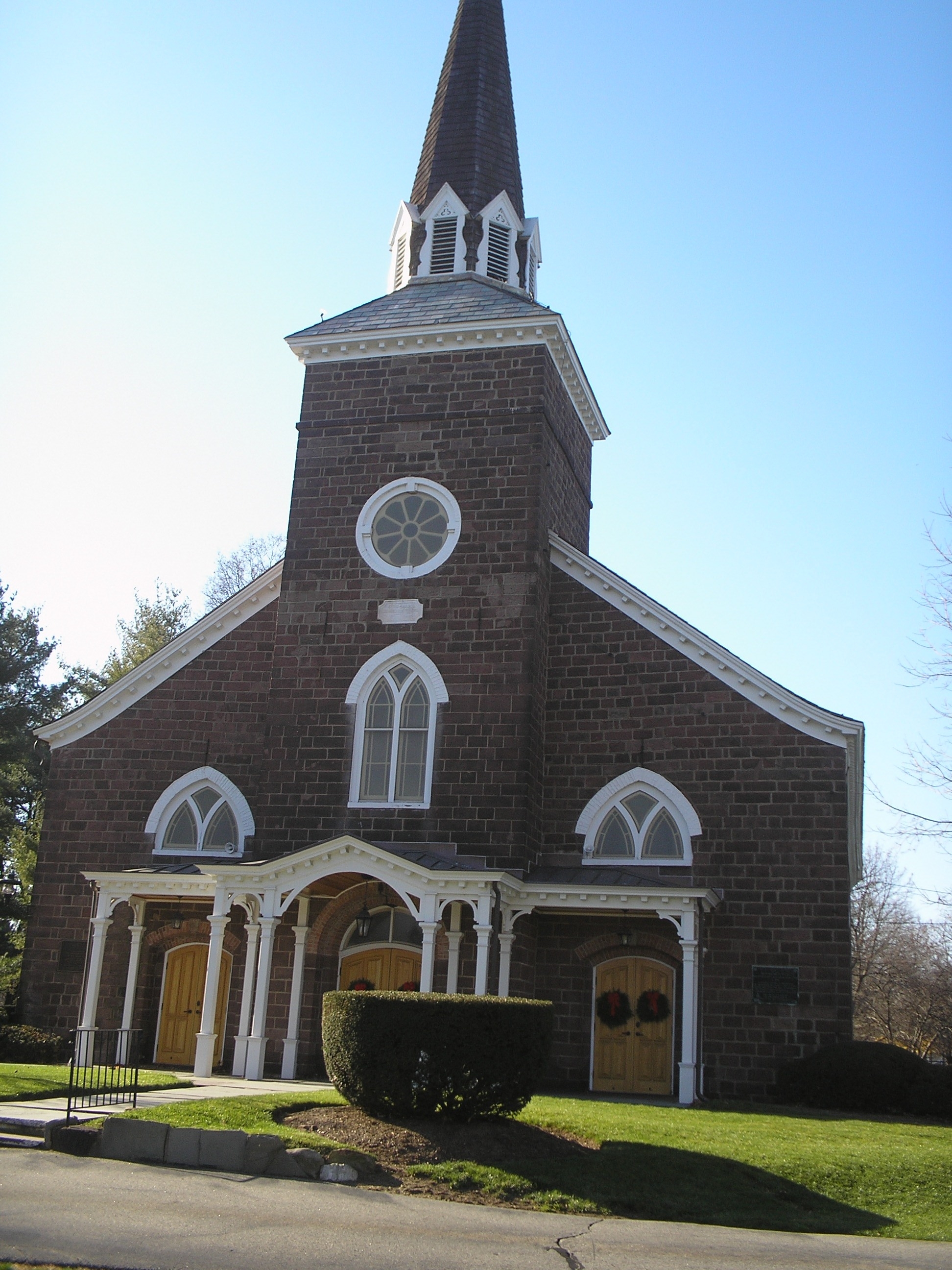
40°55′55″N 73°58′19″W / 40.931944°N 73.971944°WTenafly 54 Church of the Holy Communion June 23, 1988 Summit Ave.
40°59′44″N 73°57′39″W / 40.995556°N 73.960833°WNorwood 55 Church of the Madonna 
April 8, 1976 Hoefley's Lane
40°51′37″N 73°58′44″W / 40.860278°N 73.978889°WFort Lee 56 Civil War Drill Hall and Armory 
October 19, 1978 130 Grand Ave.
40°51′22″N 73°59′53″W / 40.856111°N 73.998056°WLeonia 57 Cole-Allaire House January 10, 1983 112 Prospect St.
40°51′45″N 73°59′38″W / 40.8625°N 73.993889°WLeonia 58 Concklin-Sneden House January 10, 1983 37 Rockleigh Rd.
41°00′11″N 73°55′38″W / 41.003056°N 73.927222°WRockleigh 59 Thunise & Richard Cooper House 
September 12, 1985 608-610 Brookside Ave.
40°56′55″N 74°01′53″W / 40.948611°N 74.031389°WOradell 60 Tunis R. Cooper House September 6, 1995 83 Cooper St.
40°55′50″N 74°00′09″W / 40.930556°N 74.0025°WBergenfield 61 Crim-Tice House January 10, 1983 16 County Rd.
41°02′22″N 74°04′33″W / 41.039444°N 74.075833°WWoodcliff Lake 62 Crocker-McMillin Mansion-Immaculate Conception Seminary May 23, 1997 Ramapo Valley Rd., jct. of Campgaw Rd., Mahwah Township
41°04′20″N 74°11′26″W / 41.072222°N 74.190556°WRamsey 63 Cruse-Hossington House January 10, 1983 301 Newtown Rd.
40°59′43″N 74°09′22″W / 40.995278°N 74.156111°WWyckoff 64 Darlington Schoolhouse March 14, 2008 600 Ramapo Valley Rd.
41°04′46″N 74°11′04″W / 41.079444°N 74.184444°WDarlington 65 William De Clark House 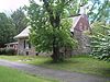
January 9, 1983 145 Piermont Rd.
40°58′41″N 73°56′40″W / 40.978056°N 73.944444°WCloster 66 De Gray House January 9, 1983 650 Ewing Ave.
41°00′07″N 74°11′51″W / 41.001944°N 74.1975°WFranklin Lakes 67 Isaac Debaun House January 10, 1983 124 Rivervale Rd.
41°01′37″N 74°01′40″W / 41.026958°N 74.027797°WPark Ridge 68 Debaun-Demarest House January 10, 1983 56 Spring Valley Rd.
40°56′21″N 74°01′44″W / 40.939167°N 74.028889°WRiver Edge 69 Abram Demaree House November 1, 1979 Schraalenburgh and Old Hooks Rds.
40°58′35″N 73°58′53″W / 40.976389°N 73.981389°WCloster 70 Demarest House (Oakland) January 10, 1983 213 Ramapo Valley Rd.
41°01′04″N 74°15′01″W / 41.017778°N 74.250278°WOakland 71 Demarest House (River Edge) 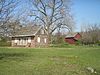
January 10, 1983 Main St.
40°54′47″N 74°01′54″W / 40.913056°N 74.031667°WRiver Edge 72 Demarest House (Oradell) January 10, 1983 268 Grove St.
40°57′00″N 74°01′35″W / 40.95°N 74.026389°WOradell 73 Demarest Railroad Depot 
July 7, 2004 38 Park St.
40°57′31″N 73°57′48″W / 40.958611°N 73.963333°WDemarest Borough 74 Cornelius Demarest House 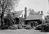
January 10, 1983 12 Rochelle Ave.
40°53′43″N 74°04′43″W / 40.895278°N 74.078611°WRochelle Park 75 Daniel Demarest House 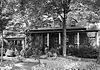
January 9, 1983 404 Washington Ave.
40°56′53″N 73°59′27″W / 40.948056°N 73.990833°WDumont 76 Jacobus Demarest House 
January 10, 1983 252 Ramapo Valley Rd.
41°01′08″N 74°14′53″W / 41.018889°N 74.248056°WOakland 77 John R. Demarest House January 9, 1983 35 County Rd.
40°56′49″N 73°57′16″W / 40.946944°N 73.954444°WDemarest 78 Samuel R. Demarest House July 24, 1984 212 County Rd.
40°57′20″N 73°57′44″W / 40.955556°N 73.962222°WDemarest 79 Thomas Demarest House January 9, 1983 370 Grand Ave.
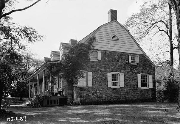
40°53′08″N 73°58′41″W / 40.885556°N 73.978056°WEnglewood 80 Demarest-Bloomer House 
November 7, 1985 147 River Edge Ave.
40°56′06″N 74°01′41″W / 40.935°N 74.028056°WNew Milford 81 Demarest-Atwood House July 24, 1984 84 Jefferson Ave.
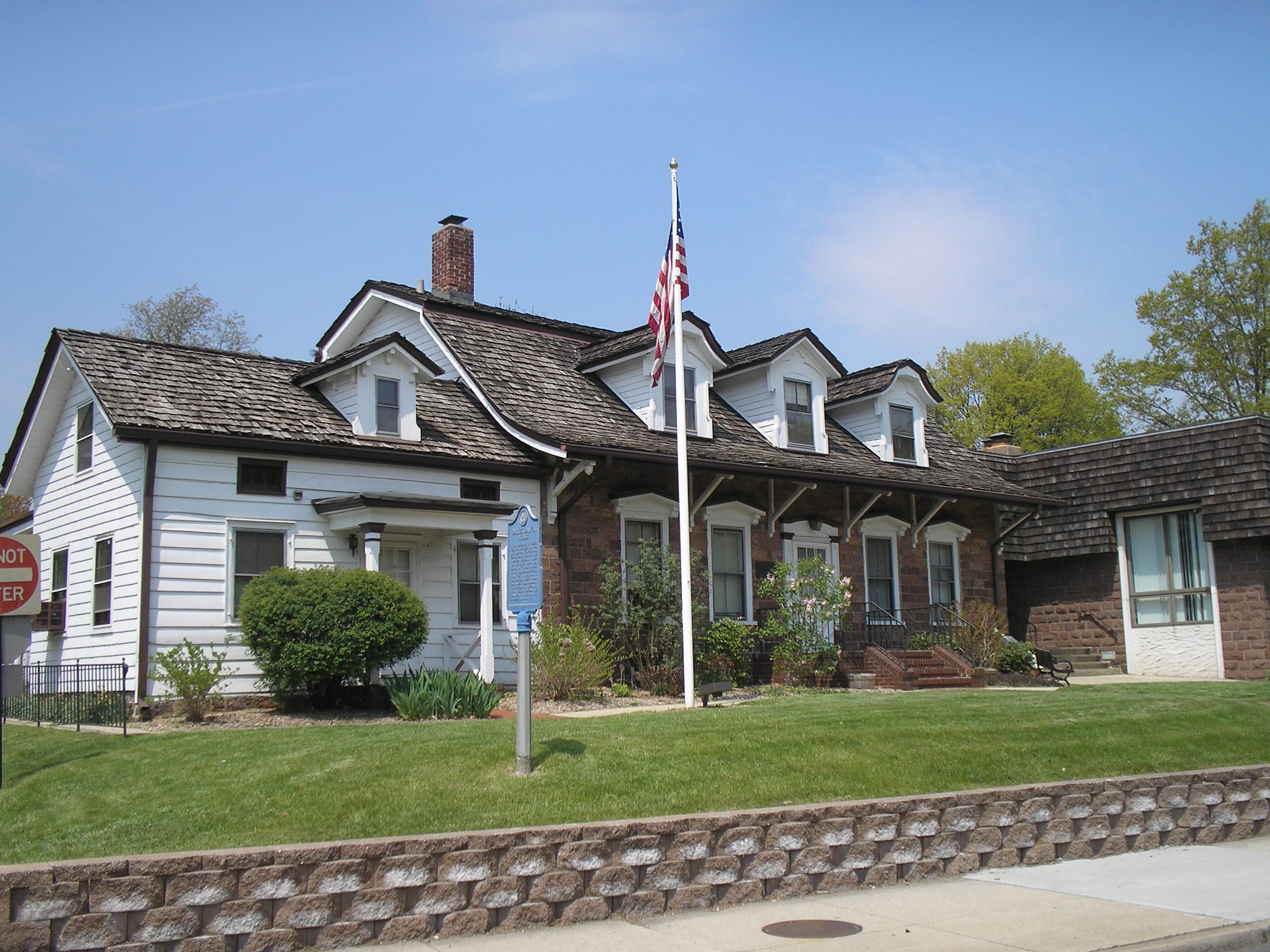
40°56′14″N 73°58′13″W / 40.937222°N 73.970278°WCresskill 82 Demarest-Hopper House January 10, 1983 21 Breakneck Rd.
41°00′03″N 74°14′46″W / 41.000833°N 74.246111°WOakland 83 Demarest-Lyle House January 10, 1983 91 W. Clinton Ave.
40°55′30″N 73°58′13″W / 40.925°N 73.970278°WTenafly 84 Demott-Westervelt House 
January 9, 1983 285 Grand Ave.
40°53′00″N 73°58′40″W / 40.883333°N 73.977778°WEnglewood 85 Jacobus DesMarest House 
February 17, 1978 618 River Rd.
40°56′04″N 74°01′34″W / 40.934444°N 74.026111°WNew Milford 86 Doremus House July 24, 1984 73 Main St.
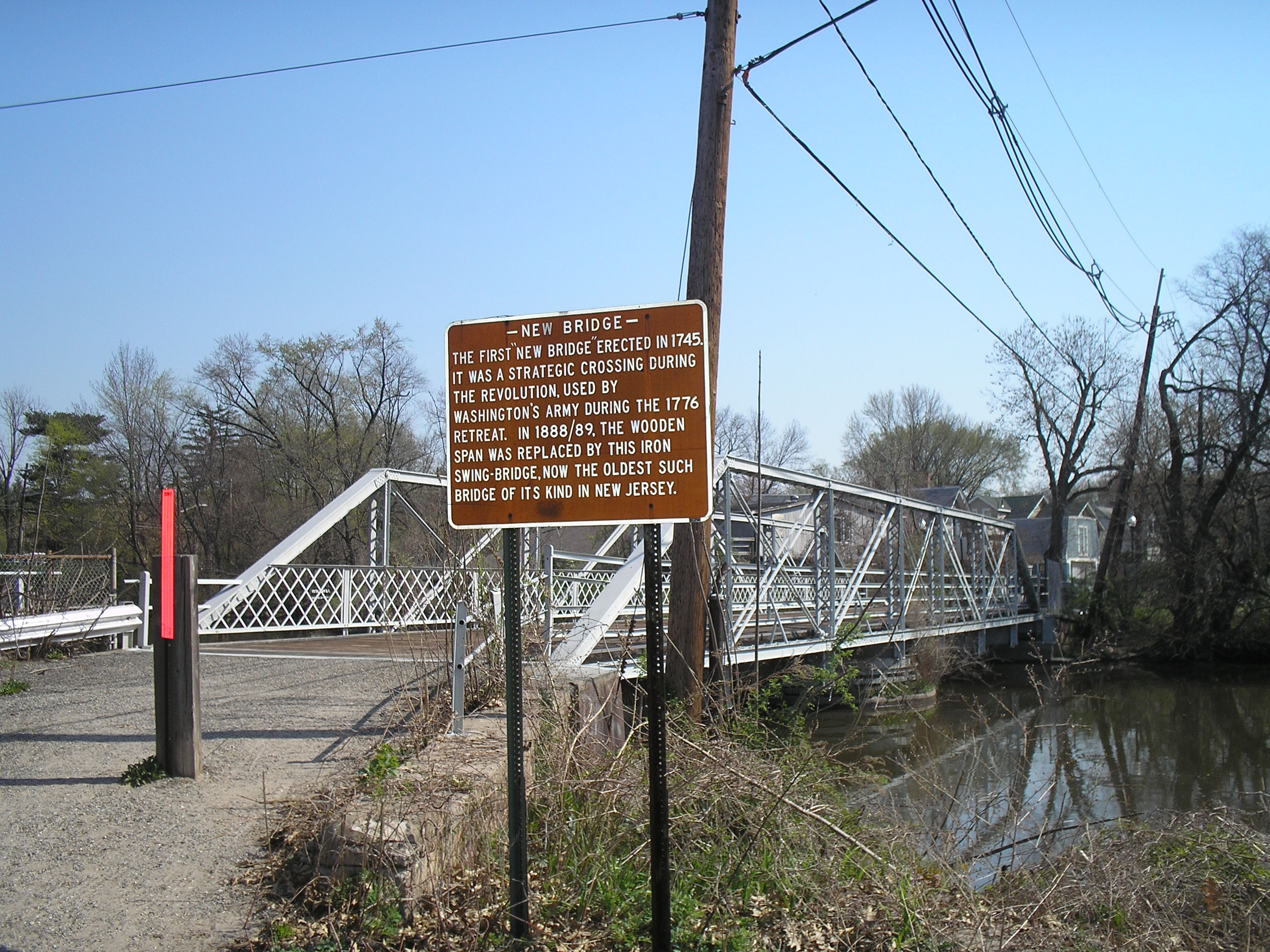
40°52′50″N 74°02′40″W / 40.880556°N 74.044444°WHackensack 87 Draw Bridge at New Bridge 
July 5, 1989 Main St. and Old New Bridge Rd. over Hackensack River
40°54′51″N 74°01′48″W / 40.914167°N 74.03°WRiver Edge, New Milford and Teaneck 88 Garret J. Durie House 
January 9, 1983 371 Schraalenburgh Rd.
40°58′00″N 73°59′00″W / 40.966667°N 73.983333°WHaworth 89 Garret Durie House January 9, 1983 156 Ell Rd.
41°00′03″N 74°03′25″W / 41.000833°N 74.056944°WHillsdale 90 John P. Durie House January 9, 1983 265 Schraalenburgh Rd.
40°57′49″N 73°59′01″W / 40.963611°N 73.983611°WHaworth 91 Dutch Reformed Church at Romopock 
September 5, 1985 Island Rd. at W. Ramapo Ave.
41°05′43″N 74°09′12″W / 41.095278°N 74.153333°WMahwah 92 Dutch Reformed Church in the English Neighborhood 
September 18, 1998 1040 Edgewater Ave.
40°50′03″N 74°00′48″W / 40.834167°N 74.013333°WRidgefield 93 Eckerson House 
January 10, 1983 200 Chestnut Ridge Rd.
41°03′56″N 74°04′06″W / 41.065578°N 74.068247°WMontvale 94 Edgewater Borough Hall 
January 16, 2008 916 River Rd.
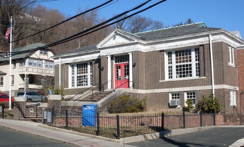
40°49′38″N 73°58′26″W / 40.827222°N 73.973889°WEdgewater 95 Edgewater Public Library 
December 23, 2009 49 Hudson Ave.
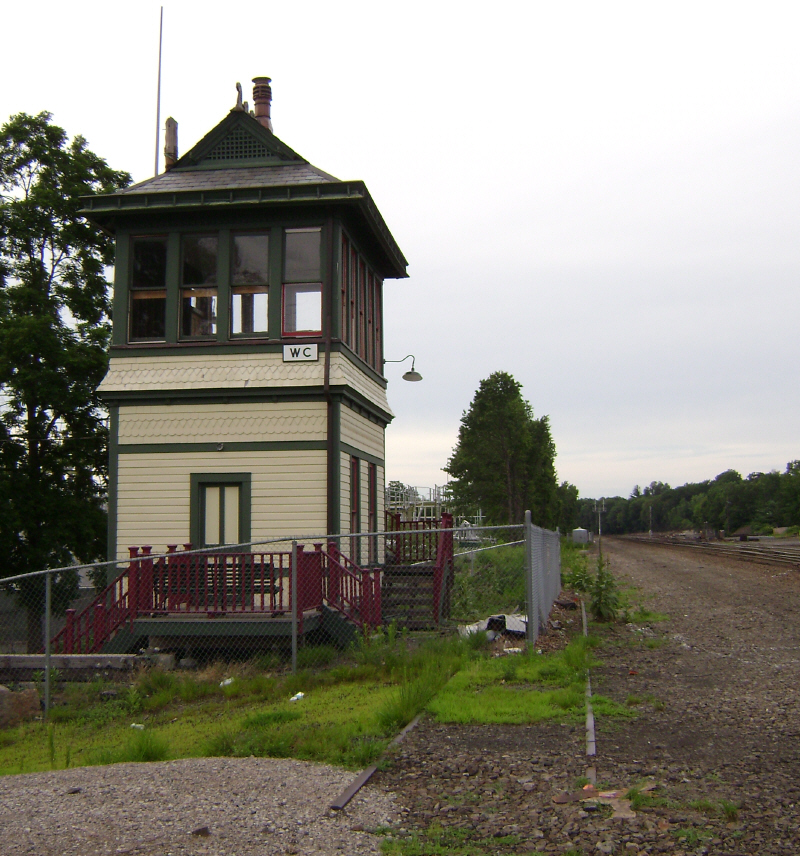
40°49′47″N 73°58′28″W / 40.829717°N 73.974308°WEdgewater 96 Erie Railroad Signal Tower, Waldwick Yard 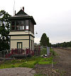
December 23, 1987 NE end of Bohnert Pl., W side of RR Tracks
41°00′55″N 74°07′29″W / 41.015278°N 74.124722°WWaldwick 97 Evangelical Lutheran Church of Saddle River and Ramapough Building August 29, 1986 96 E. Allendale Rd.
41°01′52″N 74°05′49″W / 41.031111°N 74.096944°WSaddle River 98 Ferdon House January 10, 1983 366 14th St.
40°59′18″N 73°56′32″W / 40.988333°N 73.942222°WNorwood 99 Folly House January 10, 1983 310 Crescent Ave.
41°01′06″N 74°09′37″W / 41.018333°N 74.160278°WWyckoff 100 Ford Motor Company Edgewater Assembly Plant September 15, 1983 309 River Rd.
40°48′33″N 73°59′09″W / 40.809167°N 73.985833°WEdgewater Demolished in 2006.[7] 101 Alonzo Foringer House and Studio August 29, 1986 107 and 107B E. Saddle River Rd.
41°01′19″N 74°05′48″W / 41.021944°N 74.096667°WSaddle River 102 Forshee-Van Orden House July 24, 1984 109 Summit Ave.
41°03′34″N 74°03′27″W / 41.059444°N 74.0575°WMontvale 103 Peter Garretson House November 19, 1974 4-02 River Rd.
40°55′26″N 74°07′50″W / 40.923889°N 74.130556°WFair Lawn 104 Garret Garrison House January 10, 1983 980 Ramapo Valley Rd.
41°03′51″N 74°12′36″W / 41.064167°N 74.21°WMahwah 105 Gethsemane Cemetery April 20, 1994 360-370 Liberty St.
40°51′20″N 74°02′29″W / 40.855556°N 74.041389°WLittle Ferry 106 Hardenburgh Avenue Bridge March 12, 2001 Hardenburgh Avenue over the Tenakill Brook
40°57′24″N 73°57′48″W / 40.956667°N 73.963333°WDemarest Borough 107 Abraham A. Haring House 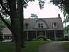
January 10, 1983 Piermont Rd.
40°59′50″N 73°55′56″W / 40.997222°N 73.932222°WRockleigh 108 Frederick Haring House 
January 10, 1983 Old Tappan and De Wolf Rds.
41°01′04″N 73°58′44″W / 41.017778°N 73.978889°WOld Tappan 109 Gerrit Haring House 
January 10, 1983 224 Old Tappan Rd.
41°00′47″N 73°59′12″W / 41.013056°N 73.986667°WOld Tappan 110 Nicholas Haring House 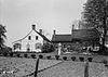
January 10, 1983 Piermont Rd.
40°59′44″N 73°55′58″W / 40.995556°N 73.932778°WRockleigh 111 Teunis Haring House April 20, 1979 70 Old Tappan Rd.
41°01′14″N 73°58′05″W / 41.020556°N 73.968056°WOld Tappan 112 Haring-Auryanson House August 15, 1983 377 Piermont Rd.
40°58′17″N 73°56′53″W / 40.971389°N 73.948056°WCloster 113 Haring-Blauvelt House January 10, 1983 454 Tappan Rd.
41°00′47″N 73°57′07″W / 41.013056°N 73.951944°WNorthvale 114 Haring-Blauvelt-Demarest House January 10, 1983 525 Rivervale Rd.
41°00′57″N 74°00′39″W / 41.015833°N 74.010833°WRiver Vale 115 Haring-Corning House August 8, 1985 Rockleigh Rd.
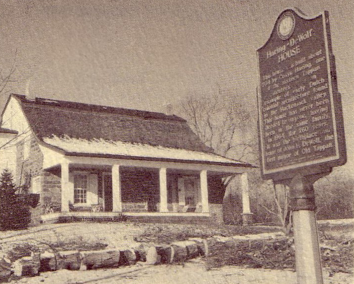
40°59′58″N 73°55′48″W / 40.999444°N 73.93°WRockleigh 116 Haring-DeWolf House 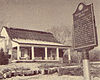
January 10, 1983 95 De Wolf Rd.
41°01′28″N 73°58′42″W / 41.024444°N 73.978333°WOld Tappan 117 Haring-Vervalen House January 10, 1983 200 Tappan Rd.
40°59′48″N 73°57′46″W / 40.996667°N 73.962778°WNorwood 118 Hennion House January 10, 1983 54 Pleasant Ave.
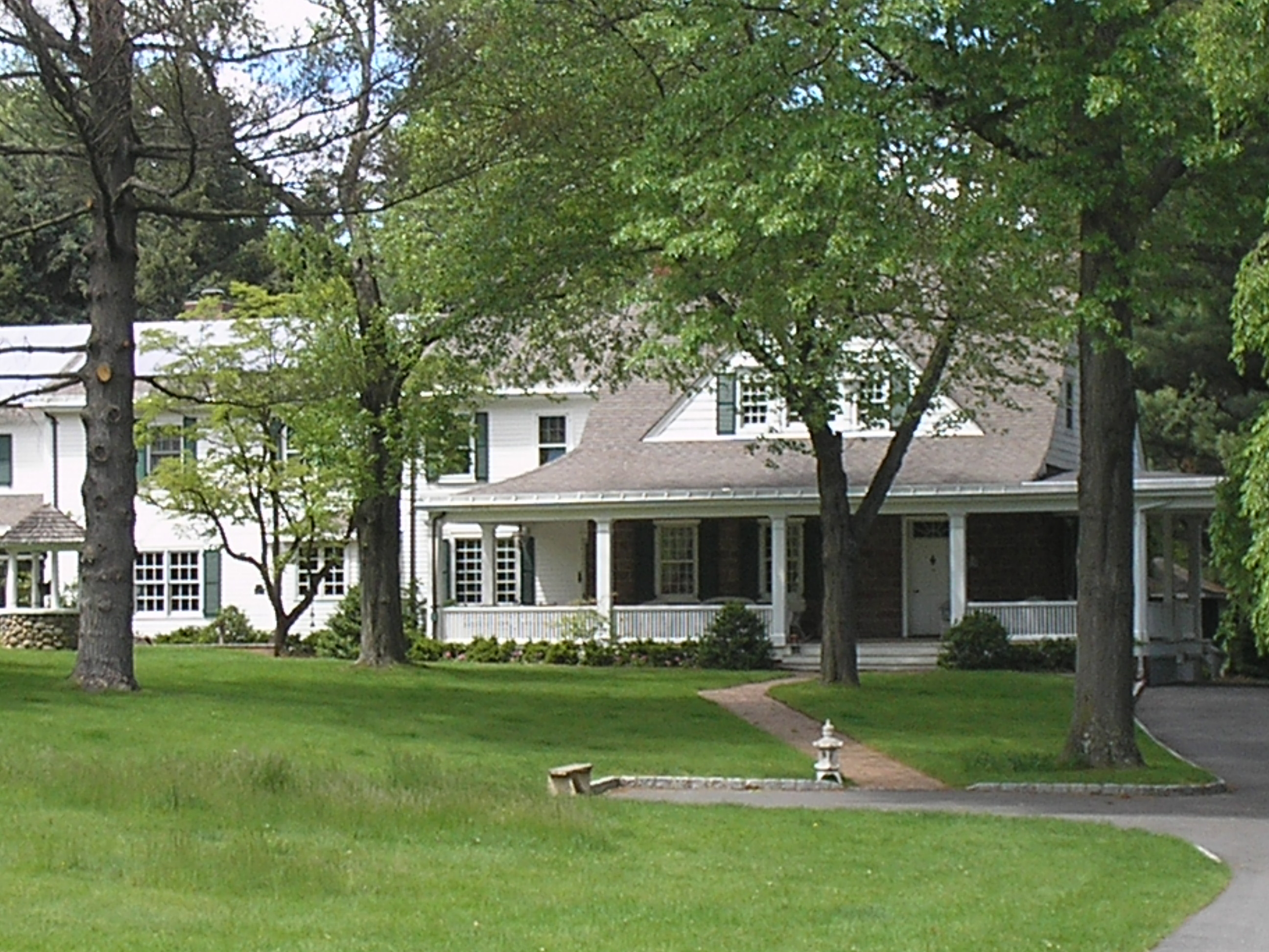
41°02′53″N 74°06′35″W / 41.048056°N 74.109722°WUpper Saddle River 119 The Hermitage 
August 29, 1970 335 N. Franklin Tpke.
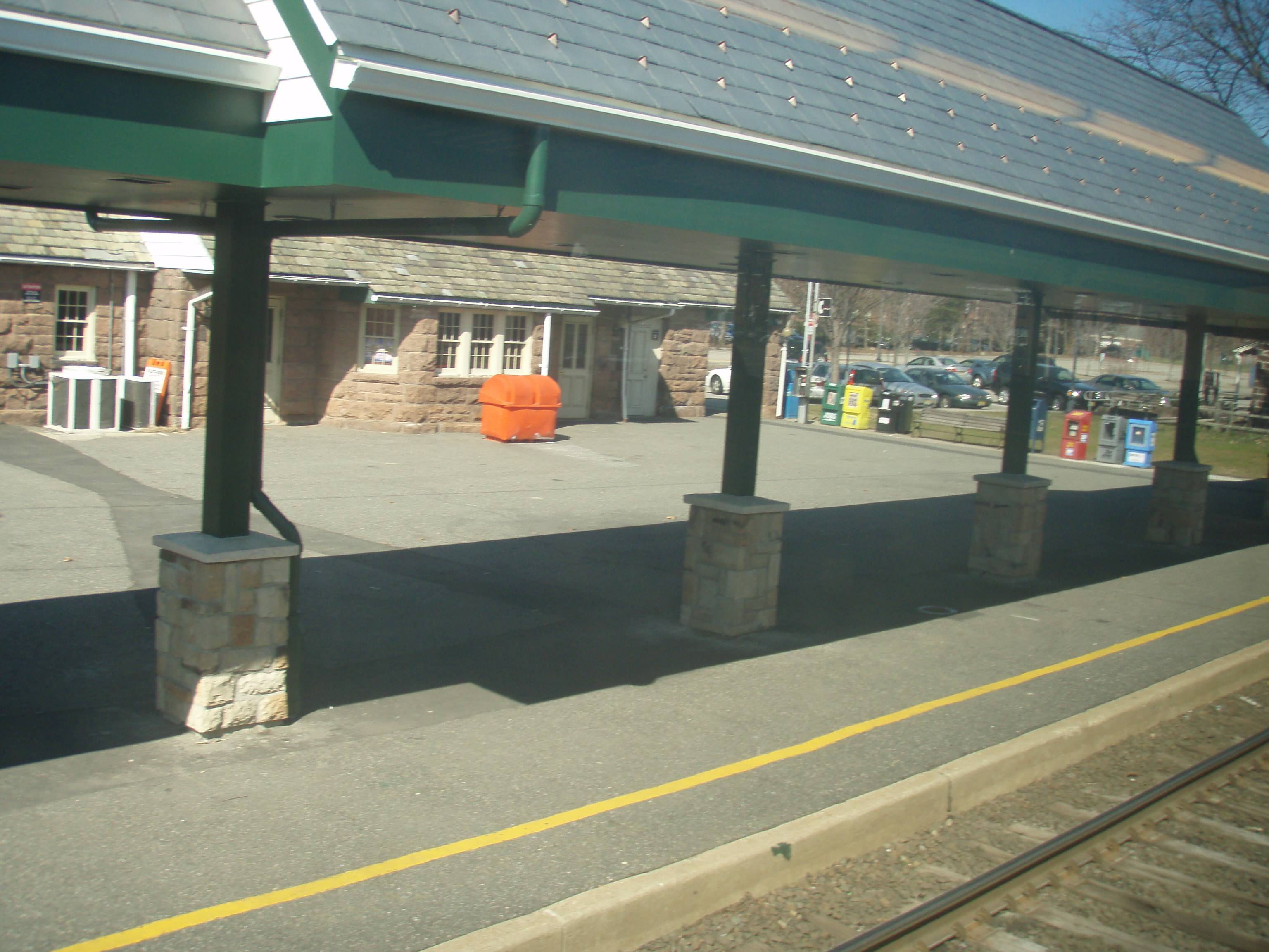
41°00′24″N 74°07′10″W / 41.006667°N 74.119444°WHo-Ho-Kus 120 Harold Hess Lustron House July 25, 2000 421 Durie Ave.
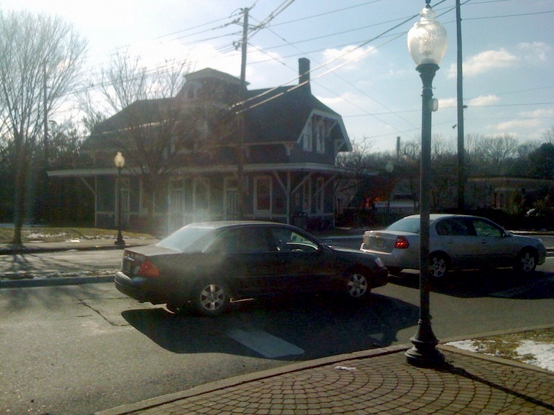
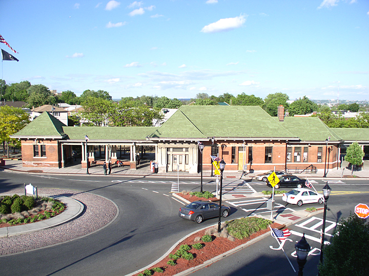
40°58′15″N 73°58′02″W / 40.970833°N 73.967222°WCloster Borough 121 Hillsdale Station 
June 22, 1984 Broadway and Hillsdale Ave.
41°00′09″N 74°02′28″W / 41.0025°N 74.041111°WHillsdale 122 William Holdrum House 
January 10, 1983 606 Prospect St.
41°01′22″N 74°00′39″W / 41.022778°N 74.010833°WRiver Vale 123 Holdrum-Van Houten House January 9, 1983 43 Spring Valley Rd.
41°03′09″N 74°03′05″W / 41.0525°N 74.051389°WMontvale 124 Hopper Gristmill Site March 3, 1983 Address Restricted Mahwah 125 Hopper House (Saddle River) July 24, 1984 45 W. Saddle River Rd.
41°00′59″N 74°06′18″W / 41.016494°N 74.105014°WSaddle River 126 Hopper House (Upper Saddle River) January 10, 1983 72 Hopper Farm Rd.
41°04′22″N 74°05′24″W / 41.072778°N 74.09°WUpper Saddle River 127 Andrew H. Hopper House January 9, 1983 762 Prospect St.
40°57′23″N 74°06′38″W / 40.956389°N 74.110556°WGlen Rock 128 Garret Hopper House January 9, 1983 470 Prospect St.
40°57′57″N 74°06′51″W / 40.965833°N 74.114167°WGlen Rock 129 Hendrick Hopper House January 9, 1983 724 Ackerman Ave.
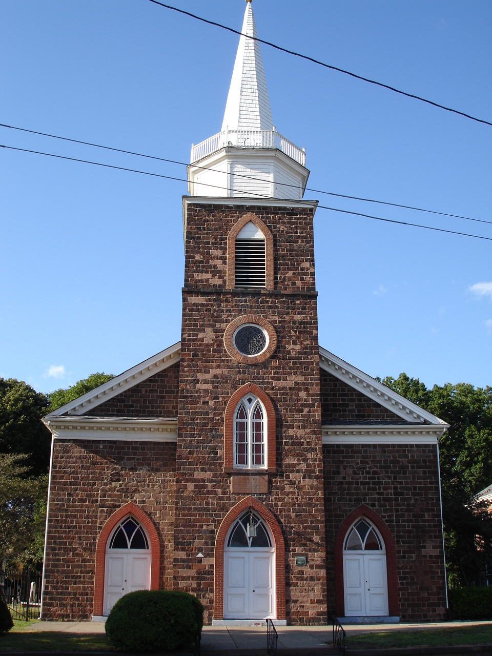
40°57′32″N 74°06′51″W / 40.958889°N 74.114167°WGlen Rock 130 John Hopper House 
January 9, 1983 231 Polifly Rd.
40°52′30″N 74°03′41″W / 40.875°N 74.061389°WHackensack Built in 1818.[8] 131 Hopper-Goetschius House 
January 10, 1983 363 E. Saddle River Rd.
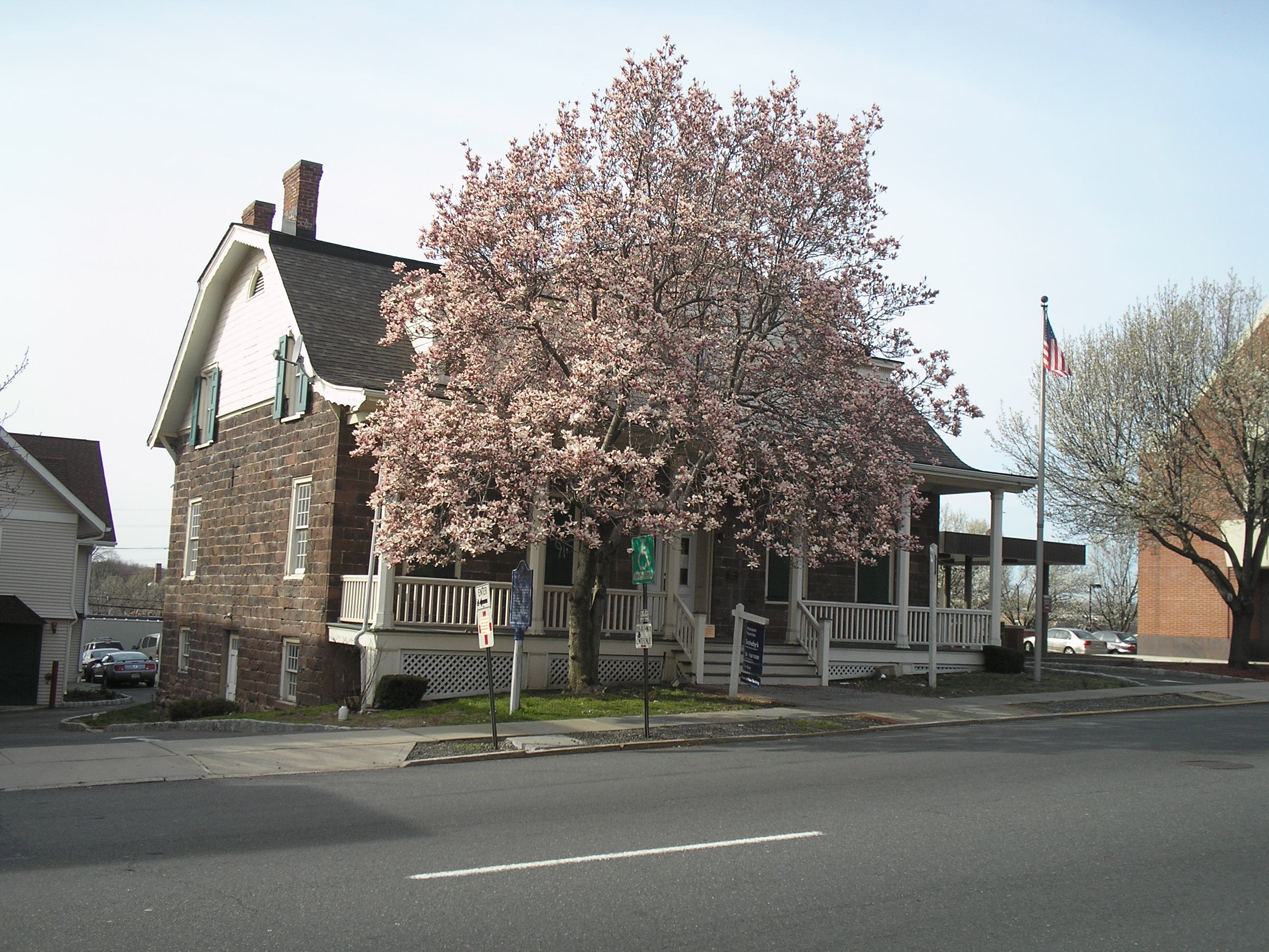
41°03′31″N 74°05′34″W / 41.058611°N 74.092778°WUpper Saddle River 132 Hopper-Van Horn House April 11, 1973 398 Ramapo Valley Rd.
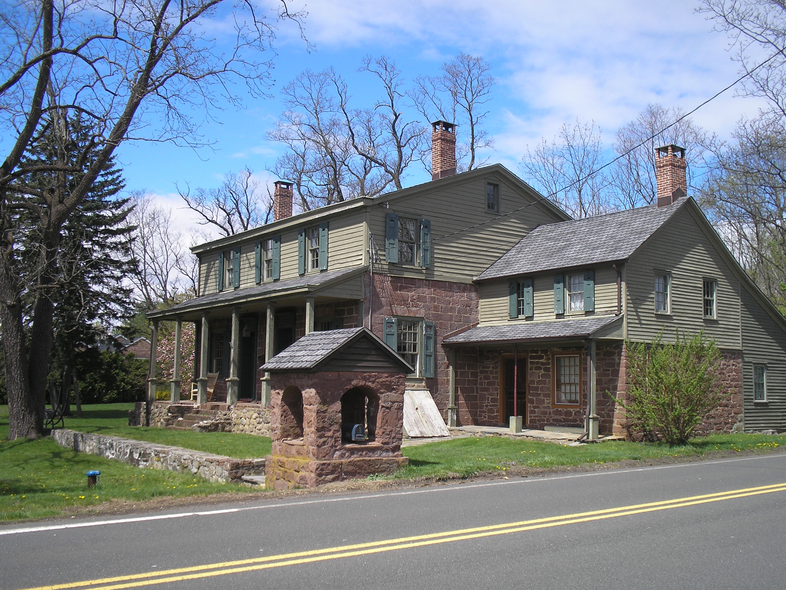
41°05′19″N 74°10′22″W / 41.088611°N 74.172778°WMahwah 133 Peter Huyler House 
January 9, 1983 50 County Rd.
40°56′10″N 73°57′23″W / 40.936111°N 73.956389°WCresskill 134 Iviswold 
November 4, 2004 223 Montross Ave.
40°49′59″N 74°06′45″W / 40.833056°N 74.1125°WRutherford 135 Joe Jefferson Clubhouse August 29, 1986 29 E. Saddle River Rd.
41°00′40″N 74°05′45″W / 41.011111°N 74.095833°WSaddle River 136 Kip Homestead January 10, 1983 12 Meadow Rd.
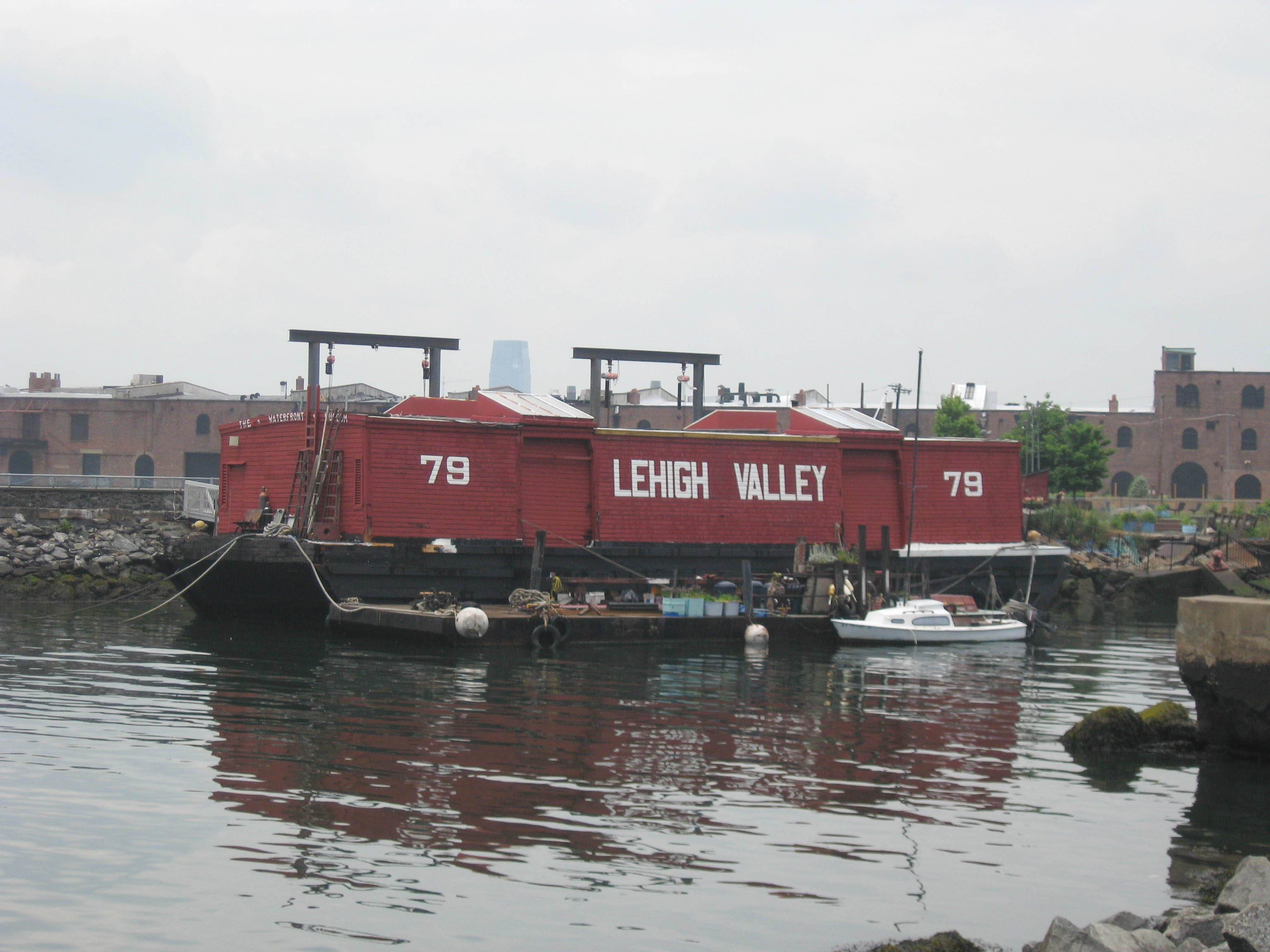
40°49′30″N 74°06′02″W / 40.825°N 74.100556°WRutherford 137 Lehigh Valley Railroad Barge No. 79 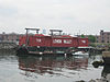
April 10, 1989 1263 River Rd.
40°50′16″N 73°58′08″W / 40.837778°N 73.968889°WEdgewater Now located in New York City at pier 45 in Brooklyn 138 Lozier House and Van Riper Mill 
October 10, 1975 34 Goffle Rd. and 11 Paterson Ave.
40°59′03″N 74°08′28″W / 40.984167°N 74.141111°WMidland Park 139 Garret Lydecker House 
January 9, 1983 228 Grand Ave.
40°53′08″N 73°58′41″W / 40.885556°N 73.978056°WEnglewood 140 Masker House January 10, 1983 470 Wyckoff Ave.
41°00′00″N 74°10′27″W / 41.0°N 74.174167°WWyckoff 141 Maywood Railroad Station 
May 29, 2003 271 Maywood Ave.
40°53′46″N 74°03′58″W / 40.896111°N 74.066111°WMaywood 142 John Meyerhoff House January 9, 1983 279 County Rd.
40°57′37″N 73°57′45″W / 40.960278°N 73.9625°WDemarest 143 Midland School 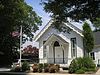
April 7, 1978 239 W. Midland Ave.
40°57′38″N 74°05′25″W / 40.960556°N 74.090278°WParamus 144 Myers-Masker House January 9, 1983 179 Park Ave.
41°00′03″N 74°08′53″W / 41.000833°N 74.148056°WMidland Park 145 John Nagle House 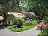
January 9, 1983 75 Harvard St.
40°58′46″N 73°56′27″W / 40.979444°N 73.940833°WCloster 146 Naugle House 
January 9, 1983 42-49 Dunkerhook Rd.
40°56′44″N 74°05′58″W / 40.945556°N 74.099444°WFair Lawn 147 Henry Naugle House January 9, 1983 119 Hickory Lane
40°58′24″N 73°56′26″W / 40.973333°N 73.940556°WCloster 148 Isaac Naugle House January 9, 1983 80 Hickory Lane
40°58′21″N 73°56′34″W / 40.9725°N 73.942778°WCloster 149 New Milford Plant of the Hackensack Water Company August 22, 2001 New Milford Ave.
40°56′49″N 74°01′30″W / 40.946944°N 74.025°WOradell 150 New North Reformed Low Dutch Church 
April 15, 1982 E. Saddle River Rd. at Old Stone Church Rd.
41°04′13″N 74°05′13″W / 41.070278°N 74.086944°WUpper Saddle River 151 New York, Susquehanna & Western Railroad ALCO Type S-2 Locomotive New York, Susquehanna & Western Railroad ALCO Type S-2 LocomotiveMarch 19, 2010 Maywood Station Museum, 271 Maywood Ave.
40°53′47″N 74°03′55″W / 40.896342°N 74.065386°WMaywood New listing, refnum 09001072 152 North Church 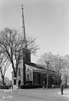
May 26, 1983 120 Washington Ave. and 191 Washington Ave.
40°56′24″N 73°59′43″W / 40.94°N 73.995278°WDumont Also known as Schraalenburgh North Church 153 O'Blenis House August 29, 1986 220 E. Saddle River Rd.
41°02′24″N 74°05′51″W / 41.039942°N 74.097625°WSaddle River 154 Oradell Station 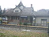
June 22, 1984 400 Maple Ave.
40°57′13″N 74°01′50″W / 40.953611°N 74.030556°WOradell 155 Garret K. Osborn House and Barn August 29, 1986 88 and 90 E. Allendale Rd.
41°01′52″N 74°05′52″W / 41.031111°N 74.097778°WSaddle River 156 Richard Outwater House 
January 9, 1983 231 Hackensack St.
40°49′43″N 74°05′54″W / 40.828611°N 74.098333°WEast Rutherford 157 Packer House 
January 9, 1983 600 Ewing Ave.
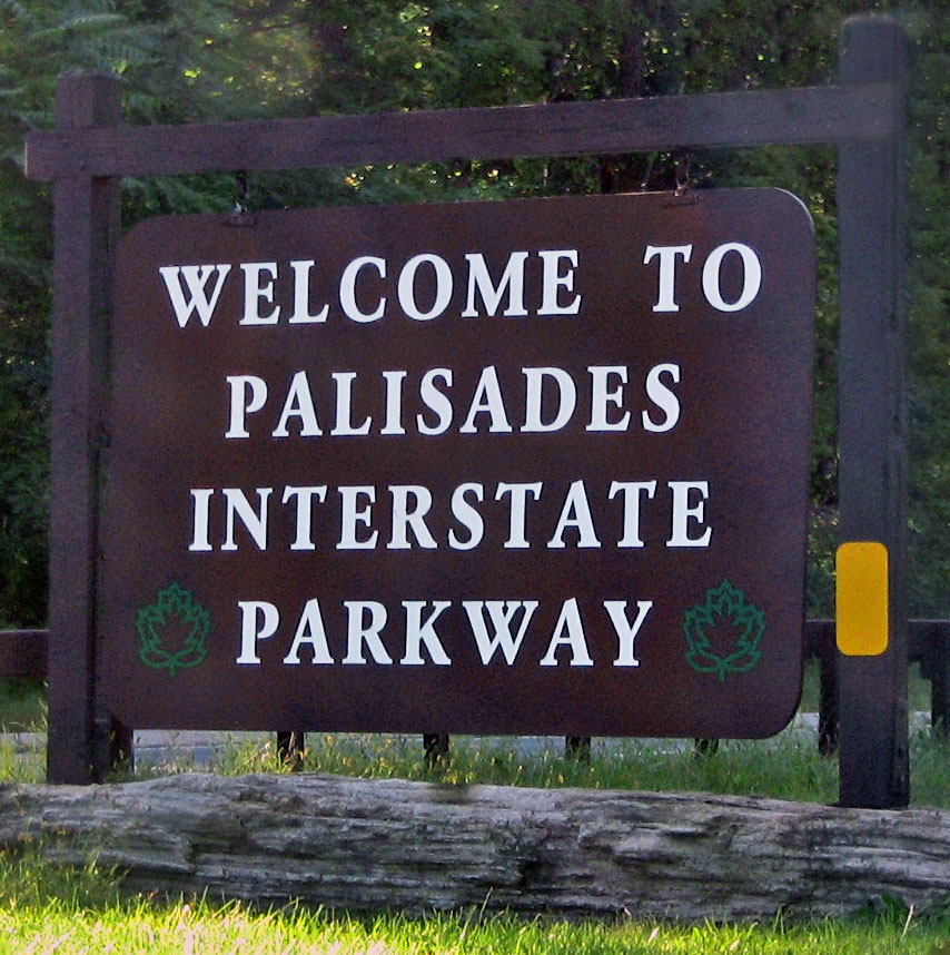
41°00′17″N 74°11′43″W / 41.004722°N 74.195278°WFranklin Lakes 158 Palisades Interstate Parkway 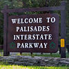
August 2, 1999 Palisade Interstate Parkway
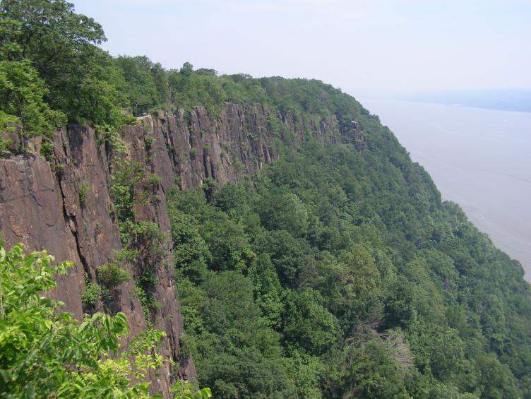
40°51′29″N 73°57′40″W / 40.858158°N 73.961036°WFort Lee 159 Palisades Interstate Park 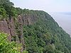
October 15, 1966 W bank of the Hudson River
40°57′19″N 73°55′54″W / 40.955278°N 73.931667°WFort Lee and vicinity 160 Paramus Reformed Church Historic District 
February 25, 1975 Bounded by Franklin Tpke., NJ 17, Saddle River, S side of cemetery, and Glen Ave.
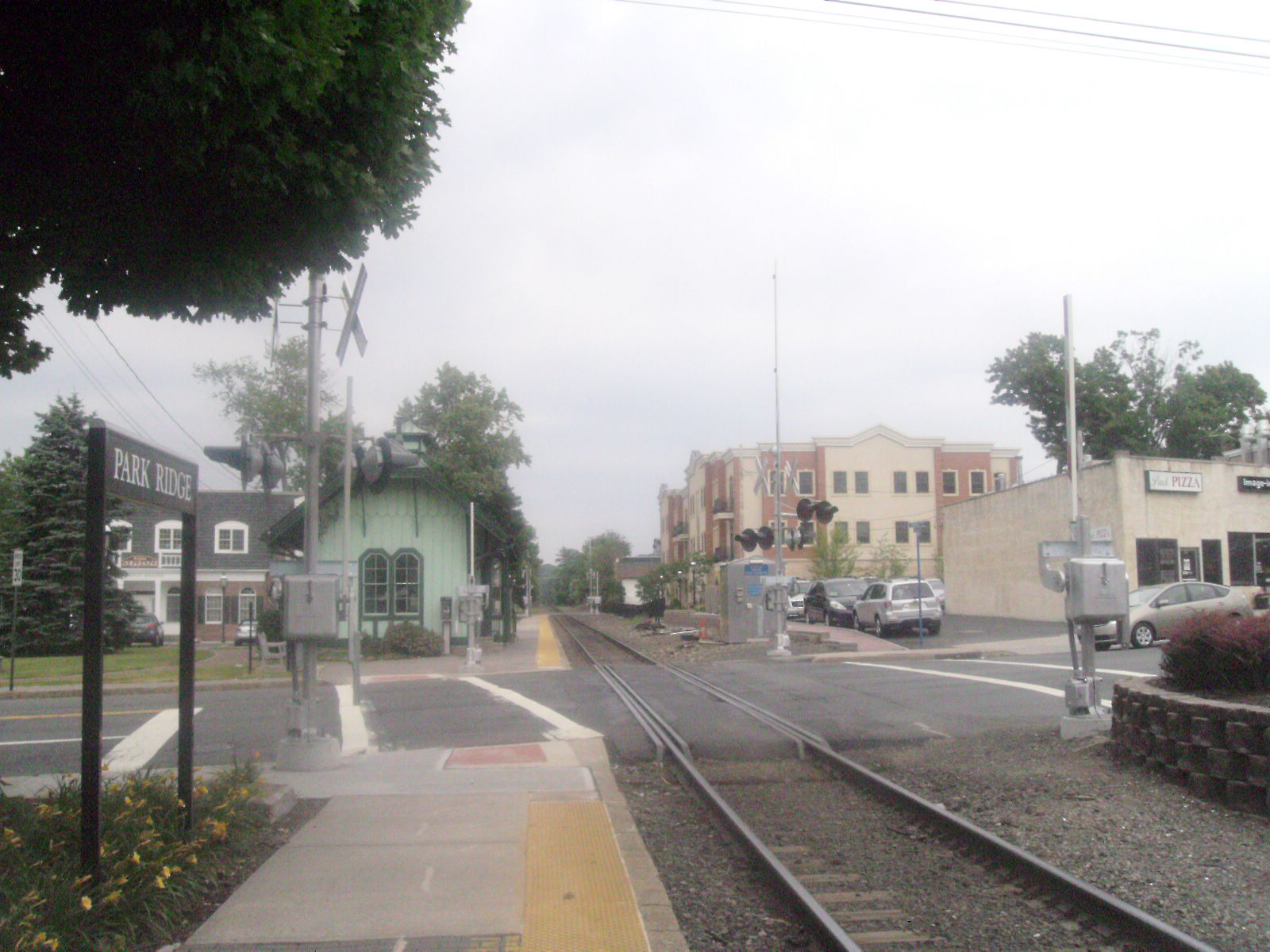
40°59′09″N 74°05′39″W / 40.985939°N 74.094078°WRidgewood 161 Park Ridge Station 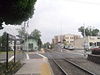
June 22, 1984 Hawthorne and Park Ave.
41°01′58″N 74°02′11″W / 41.032778°N 74.036389°WPark Ridge 162 Paulison-Christie House 
January 10, 1983 8 Homestead Pl.
40°51′10″N 74°01′39″W / 40.852778°N 74.0275°WRidgefield Park 163 Peter D. Perry House January 10, 1983 107 Rivervale Rd.
41°01′42″N 74°01′41″W / 41.028464°N 74.028178°WPark Ridge 164 Peter P. Post House January 10, 1983 259 Pascack Rd.
41°01′03″N 74°02′53″W / 41.0175°N 74.048056°WWoodcliff Lake 165 Presbyterian Church of Norwood February 1, 2006 701 Broadway
41°00′00″N 73°57′39″W / 41.0°N 73.960833°WNorwood 166 Albert Pulis House January 9, 1983 322 Pulis Ave.
41°01′49″N 74°11′44″W / 41.030278°N 74.195556°WFranklin Lakes 167 Radburn 
April 16, 1975 Irregular pattern between Radburn Rd. and Erie RR. tracks
40°56′28″N 74°07′07″W / 40.941111°N 74.118611°WFair Lawn 168 Radburn-Fair Lawn Station 
June 22, 1984 Pollitt Dr.
40°56′22″N 74°07′19″W / 40.939444°N 74.121944°WFair Lawn 169 Rathbone-Zabriskie House January 10, 1983 570 N. Maple Ave.
40°59′43″N 74°06′41″W / 40.995278°N 74.111389°WRidgewood 170 Reaction Motors Rocket Test Facility June 6, 1979 936 Dogwood Trail
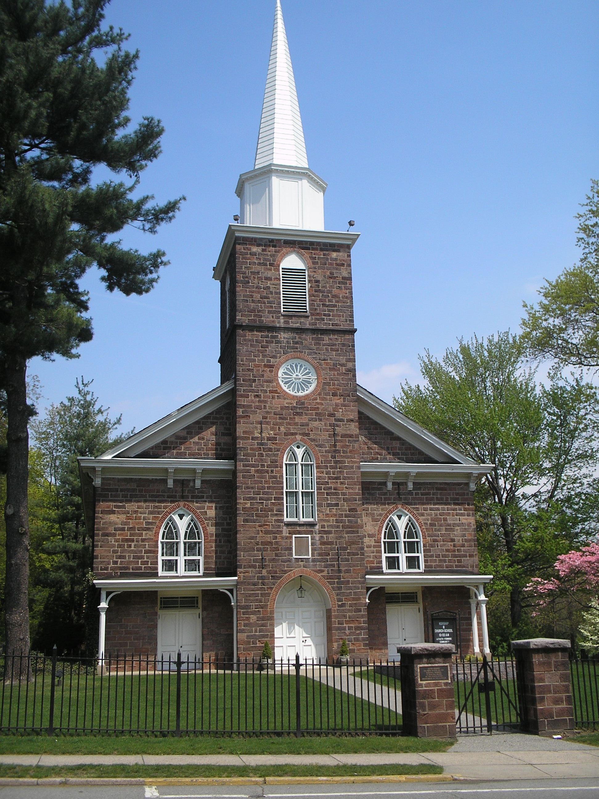
40°59′53″N 74°13′41″W / 40.998056°N 74.228056°WFranklin Lakes 171 Reformed Dutch Church and Green 
June 9, 1983 42 Court St.
40°52′45″N 74°02′34″W / 40.879167°N 74.042778°WHackensack 172 Reformed Dutch Church of Wyckoff 
April 17, 2003 580 Wyckoff Ave.
41°00′24″N 74°03′16″W / 41.006667°N 74.054444°WWyckoff Township 173 Ridgewood Station 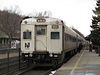
June 22, 1984 Garber Sq.
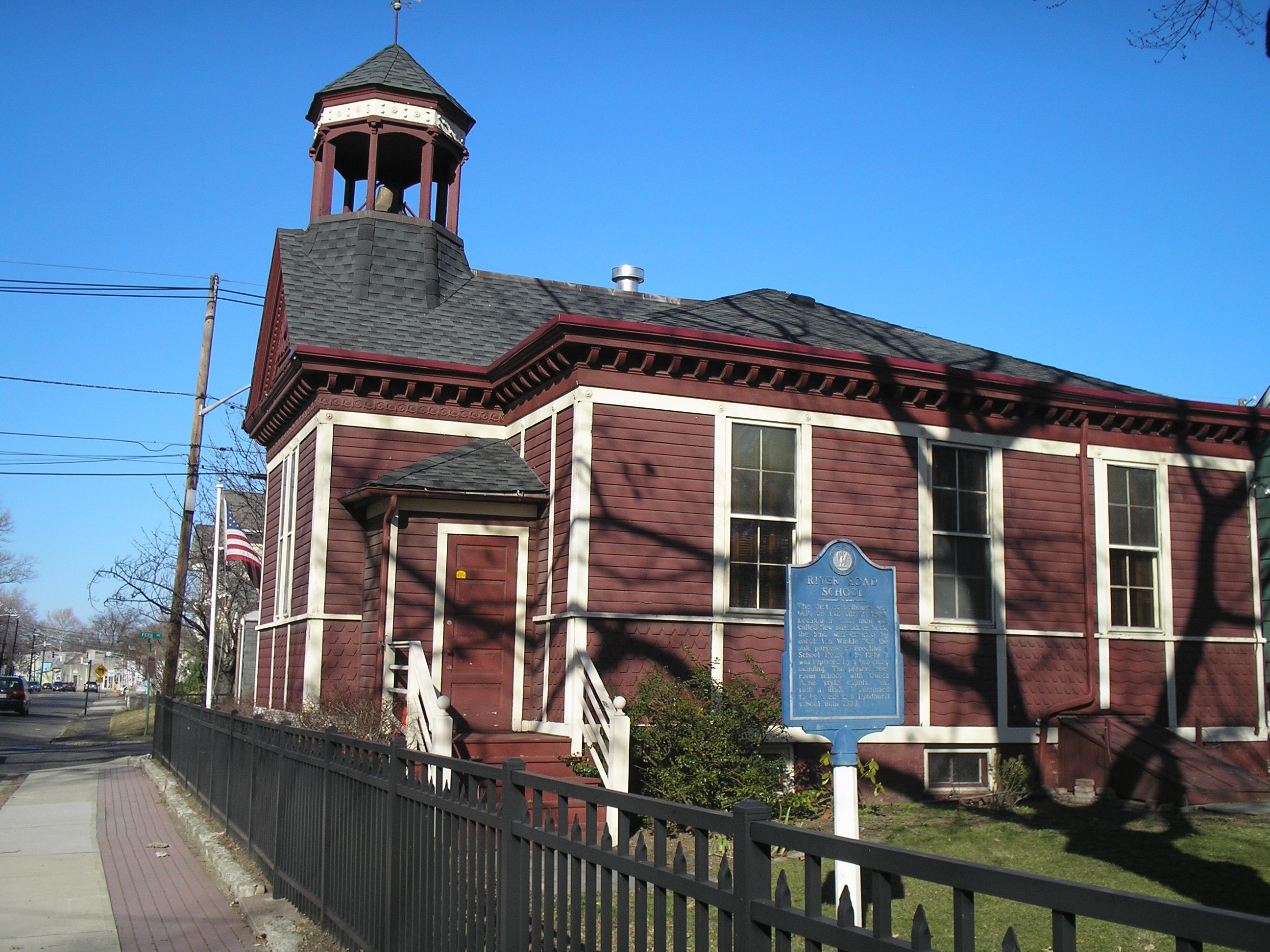
40°58′51″N 74°07′16″W / 40.980833°N 74.121111°WRidgewood 174 River Road School 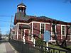
November 11, 1977 400 Riverside Ave.
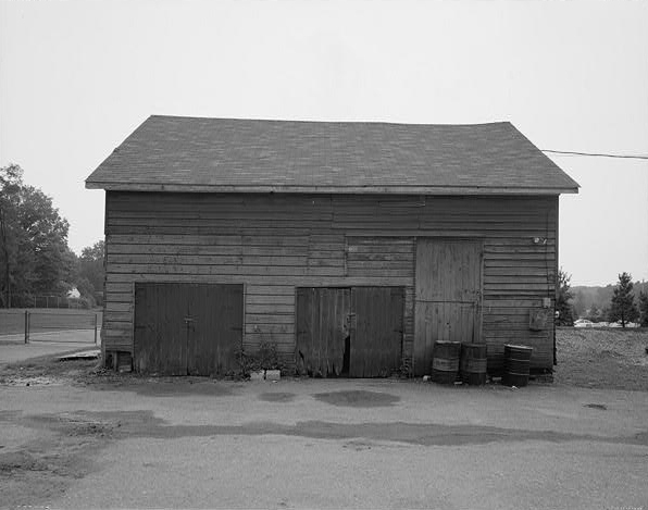
40°48′52″N 74°08′04″W / 40.814444°N 74.134444°WLyndhurst 175 Rockleigh Historic District June 29, 1977 E of Norwood on Willow Ave., Rockleigh and Piermont Rds.
41°00′11″N 73°55′42″W / 41.003056°N 73.928333°WNorwood 176 Romeyn-Oldis-Brinkerhoff House January 10, 1983 279 Maywood Ave.
40°53′48″N 74°03′57″W / 40.896667°N 74.065833°WMaywood 177 Romine-Van Voorhis House January 10, 1983 306 Maywood Ave.
40°53′51″N 74°03′54″W / 40.8975°N 74.065°WMaywood 178 Dr. E. G. Roy House August 29, 1986 229 W. Saddle River Rd.
41°02′46″N 74°06′10″W / 41.046111°N 74.102778°WSaddle River 179 Rutherford Station 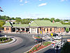
June 22, 1984 Station Sq.
40°49′42″N 74°06′06″W / 40.828333°N 74.101667°WRutherford 180 Saddle River Center Historic District August 29, 1986 Along W. Saddle River Rd. at jct. of E. Allendale Rd.
41°01′53″N 74°06′10″W / 41.031389°N 74.102778°WSaddle River 181 Seven Chimneys 
August 12, 1971 25 Chimney Ridge Ct.
40°58′57″N 74°03′56″W / 40.9825°N 74.065556°WWestwood 182 Albert Smith House January 10, 1983 289 Wyckoff Ave.
41°00′43″N 74°08′42″W / 41.012069°N 74.144917°WWaldwick 183 John Smith House January 10, 1983 290 Forest Rd.
41°01′47″N 74°09′24″W / 41.029722°N 74.156667°WMahwah 184 South Church Manse August 24, 1979 138 W. Church St.
40°55′44″N 74°00′10″W / 40.928889°N 74.002778°WBergenfield 185 South Schraalenburgh Church 
December 6, 1975 Prospect Ave. and W. Church St.
40°55′46″N 74°00′13″W / 40.929444°N 74.003611°WBergenfield 186 John C. Stagg House 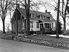
January 10, 1983 308 Sicomac Ave.
40°59′05″N 74°10′19″W / 40.984722°N 74.171944°WWyckoff 187 Elizabeth Cady Stanton House May 15, 1975 135 Highwood Ave.
40°55′33″N 73°57′16″W / 40.925833°N 73.954444°WTenafly 188 Steuben Estate Complex December 9, 1980 New Bridge Rd., Main St. and Hackensack River
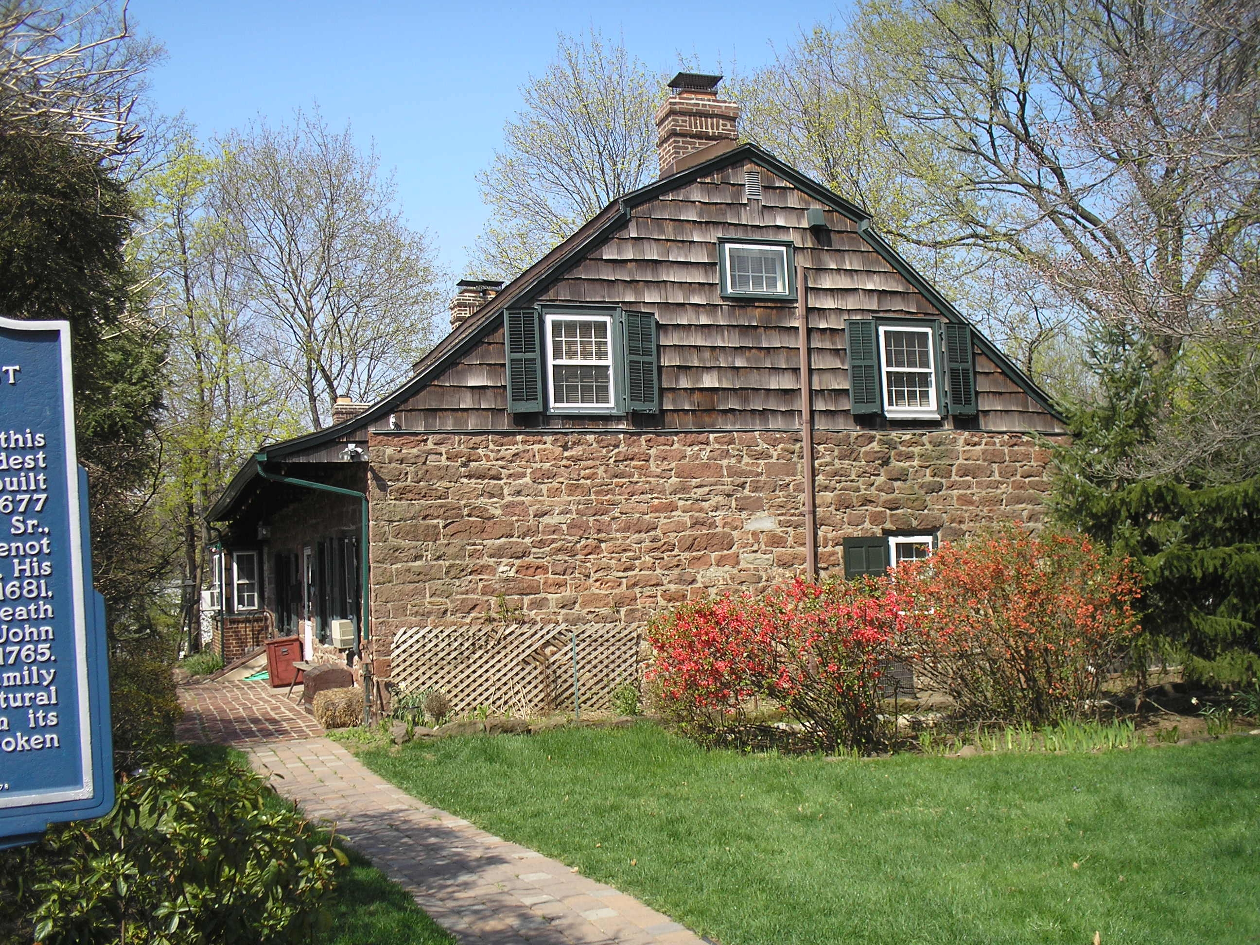
40°54′49″N 74°01′55″W / 40.913611°N 74.031944°WRiver Edge 189 Steuben House 
December 18, 1970 Old New Bridge Rd., at the Hackensack River
40°54′49″N 74°01′51″W / 40.913611°N 74.030833°WRiver Edge Built in 1752.[9] 190 Stillwell-Preston House August 29, 1986 9 E. Saddle River Rd.
41°00′25″N 74°05′40″W / 41.006944°N 74.094444°WSaddle River 191 Storms House July 24, 1984 1069 Franklin Lake Rd.
40°59′56″N 74°14′06″W / 40.998889°N 74.235°WFranklin Lakes 192 Tallman-Vanderbeck House January 9, 1983 639 Piermont Rd.
40°57′59″N 73°57′15″W / 40.966389°N 73.954167°WCloster 193 Tenafly Station 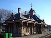
January 25, 1979 Off Hillside Ave.
40°55′29″N 73°57′54″W / 40.924722°N 73.965°WTenafly 194 Terhune House (Paramus) 
February 28, 1996 470 Paramus Rd.
40°57′28″N 74°05′35″W / 40.957683°N 74.093111°WParamus 195 Terhune House (Wyckoff) January 10, 1983 161 Godwin Ave.
41°00′15″N 74°09′35″W / 41.004167°N 74.159722°WWyckoff 196 Terhune-Gardner-Lindenmeyr House 
February 7, 1972 218 Paramus Rd.
40°56′27″N 74°05′33″W / 40.940833°N 74.0925°WParamus 197 Terhune-Hopper House (Ho-Ho-Kus) January 10, 1983 825 E. Saddle River Rd.
40°59′51″N 74°05′30″W / 40.9975°N 74.091667°WHo-Ho-Kus 198 Terhune-Hopper House (Upper Saddle River) January 10, 1983 349 W. Saddle River Rd.
41°03′30″N 74°05′56″W / 41.058333°N 74.098889°WUpper Saddle River 199 Terhune-Ranlett House January 10, 1983 933 E. Saddle River Rd.
41°00′05″N 74°05′36″W / 41.001389°N 74.093333°WHo-Ho-Kus 200 Theodore Roosevelt Monument September 20, 2006 Roosevelt Common, Riveredge Rd.
40°55′42″N 73°58′07″W / 40.928333°N 73.968611°WTenafly 201 U.S.S. Ling 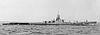
October 19, 1978 Hackensack River at 150 River St.
40°52′47″N 74°02′26″W / 40.879722°N 74.040556°WHackensack 202 Upper Closter-Alpine Historic District May 8, 1985 Roughly bounded by Forest St., Old Dock Rd., School House Ln., Church St. and Closter Dock Rd.
40°56′57″N 73°55′37″W / 40.949167°N 73.926944°WAlpine 203 Edward W. Vaill House January 18, 1990 863 Midland Rd.
40°57′27″N 74°02′30″W / 40.9575°N 74.041667°WOradell 204 Van Allen House 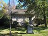
July 24, 1973 Corner of U.S. 202 and Franklin Ave.
41°01′47″N 74°14′11″W / 41.029722°N 74.236389°WOakland 205 Van Blarcom - Jardine House January 10, 1983 380 Wyckoff Ave.
40°59′47″N 74°10′03″W / 40.996258°N 74.167406°WWyckoff 206 Van Blarcom House (Franklin Lakes) July 24, 1984 834 Franklin Lake Rd.
40°59′33″N 74°12′55″W / 40.9925°N 74.215278°WFranklin Lakes 207 Van Blarcom House (Wyckoff) January 10, 1983 131 Godwin Ave.
41°00′08″N 74°09′27″W / 41.002336°N 74.157508°WWyckoff 208 Albert Van Blarcom House January 10, 1983 250 Crescent Ave.
41°00′55″N 74°09′27″W / 41.015278°N 74.1575°WWyckoff 209 Andries Thomas Van Buskirk House January 10, 1983 164 E. Saddle River Rd.
41°01′49″N 74°05′41″W / 41.030336°N 74.094594°WSaddle River 210 Laurance Thomas Van Buskirk House January 10, 1983 116 E. Saddle River Rd.
41°01′21″N 74°05′48″W / 41.022544°N 74.096672°WSaddle River 211 Van Buskirk-Oakley House 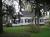
July 3, 1979 467 Kinderkamack Rd.
40°57′23″N 74°01′55″W / 40.956389°N 74.031944°WOradell 212 Van Dien House 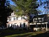
January 10, 1983 627 Grove St.
40°57′59″N 74°06′03″W / 40.966389°N 74.100833°WRidgewood 213 Harmon Van Dien House January 10, 1983 449 Paramus Rd.
40°57′23″N 74°05′40″W / 40.956389°N 74.094444°WParamus 214 Van Gelder House January 10, 1983 347 Godwin Avenue
41°00′54″N 74°10′03″W / 41.015°N 74.1675°WWyckoff 215 Abraham Van Gelder House January 10, 1983 86 W. Crescent Ave.
41°02′40″N 74°09′59″W / 41.044444°N 74.166389°WMahwah 216 David Van Gelder House January 10, 1983 37 W. Crescent Ave.
41°02′37″N 74°09′53″W / 41.043611°N 74.164722°WRamsey 217 David & Cornelius Van Horn House January 9, 1983 11 Cedar Lane
40°58′37″N 73°58′50″W / 40.976944°N 73.980556°WCloster 218 Van Horn-Ackerman House 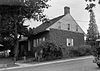
January 10, 1983 101 Wyckoff Ave.
40°59′02″N 74°09′03″W / 40.983889°N 74.150833°WWyckoff 219 Van Horn-Newcomb House July 24, 1984 303 Tenafly Rd.
40°54′16″N 73°58′31″W / 40.904444°N 73.975278°WEnglewood 220 Van Houten House January 9, 1983 778 Vee Dr.
40°59′33″N 74°11′40″W / 40.9925°N 74.194444°WFranklin Lakes 221 Van Houten-Ackerman House (Wyckoff) January 10, 1983 480 Sicomac Ave.
40°59′24″N 74°11′08″W / 40.99°N 74.185556°WWyckoff 222 Van Houten-Ackerman House (Franklin Lakes) January 9, 1983 1150 Franklin Lake Rd.
40°59′57″N 74°14′33″W / 40.999167°N 74.2425°WFranklin Lakes 223 Van Houten-Hillman House January 9, 1983 891 River Rd.
40°53′24″N 74°07′41″W / 40.89°N 74.128056°WElmwood Park 224 Van Koert-Winters House July 24, 1984 615 Franklin Ave.
41°00′48″N 74°11′45″W / 41.013333°N 74.195833°WFranklin Lakes 225 Van Voorhees-Quackenbush House 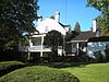
January 10, 1983 421 Franklin Ave.
41°00′37″N 74°10′36″W / 41.010278°N 74.176667°WWyckoff 226 Van Voorhis-Quackenbush House July 24, 1984 625 Wyckoff Ave.
41°00′35″N 74°10′25″W / 41.009722°N 74.173611°WWyckoff 227 Jacob W. Van Winkle House 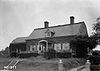
January 10, 1983 316 Riverside Ave.
40°48′59″N 74°07′57″W / 40.816389°N 74.1325°WLyndhurst 228 Van Winkle House July 24, 1984 798 Franklin Lake Rd.
40°59′35″N 74°12′44″W / 40.993056°N 74.212222°WFranklin Lakes 229 Van Winkle-Fox House January 10, 1983 669 Ramapo Valley Rd.
41°02′28″N 74°13′45″W / 41.041067°N 74.229094°WOakland 230 Van Zile House January 10, 1983 714 Godwin Ave.
41°00′03″N 74°09′20″W / 41.000833°N 74.155556°WMidland Park 231 Adam Vandelinda House January 10, 1983 586 Teaneck Rd.
40°52′43″N 74°00′42″W / 40.878611°N 74.011667°WTeaneck 232 James Vandelinda House January 10, 1983 566 Teaneck Rd.
40°52′38″N 74°00′43″W / 40.877222°N 74.011944°WTeaneck 233 Vanderbeck House (Mahwah) January 10, 1983 69 Vanderbeck Ave.
41°02′02″N 74°09′17″W / 41.033889°N 74.154722°WMahwah 234 Vanderbeck House (Ridgewood) January 10, 1983 249 Prospect St.
40°58′25″N 74°07′01″W / 40.973611°N 74.116944°WRidgewood 235 Jacob Vanderbeck, Jr., House 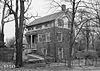
January 9, 1983 41-25 Dunderhook Rd.
40°56′46″N 74°06′02″W / 40.946111°N 74.100556°WFair Lawn 236 Vanderbeek House July 24, 1984 126 Weirimus Rd.
41°00′21″N 74°04′24″W / 41.005833°N 74.073333°WHillsdale 237 Vervalen House January 9, 1983 151 West St.
40°58′43″N 73°57′50″W / 40.978611°N 73.963889°WCloster 238 Vreeland House 
November 17, 1978 125 Lakeview Ave.
40°52′26″N 73°59′06″W / 40.873889°N 73.985°WLeonia 239 Waldwick Railroad Station 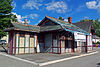
February 23, 1978 Hewson Ave. and Prospect St.
41°00′44″N 74°07′26″W / 41.012222°N 74.123889°WWaldwick Original 1887 depot to be restored for use as local museum 240 B. C. Wandell House-The Cedars August 29, 1986 214, 223, and 224 W. Saddle River Rd.
41°02′42″N 74°06′10″W / 41.045°N 74.102778°WSaddle River 241 F. L. Wandell Estate and Ward Factory Site November 1, 1990 255-261 E. Saddle River Rd.
41°02′48″N 74°05′59″W / 41.046667°N 74.099722°WSaddle River 242 Dr. John Christie Ware Bungalow August 29, 1986 246 E. Saddle River Rd.
41°02′38″N 74°05′53″W / 41.044017°N 74.097953°WSaddle River 243 Westervelt House 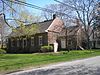
August 15, 1983 81 Westervelt Ave.
40°55′17″N 73°58′08″W / 40.921389°N 73.968889°WTenafly 244 Benjamin P. Westervelt House 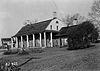
January 9, 1983 235 County Rd.
40°56′33″N 73°57′27″W / 40.9425°N 73.9575°WCresskill 245 Caspar Westervelt House 
January 10, 1983 20 Sherwood Rd.
40°52′09″N 74°00′54″W / 40.869167°N 74.015°WTeaneck 246 John Westervelt House January 9, 1983 29 The Parkway
40°59′11″N 73°58′33″W / 40.986389°N 73.975833°WHarrington Park 247 Peter Westervelt House and Barn 
March 19, 1975 290 Grand Ave.
40°53′01″N 73°58′38″W / 40.883611°N 73.977222°WEnglewood 248 Westervelt-Ackerson House 
July 20, 1977 538 Island Rd.
41°04′25″N 74°08′39″W / 41.073611°N 74.144167°WRamsey 249 Westervelt-Cameron House January 10, 1983 26 E. Glen Ave.
40°59′21″N 74°06′54″W / 40.989167°N 74.115°WRidgewood 250 Westervelt-Lydecker House January 10, 1983 Weirmus and Old Mill Rds.
41°01′18″N 74°03′57″W / 41.021672°N 74.065969°WWoodcliff Lake 251 White Tenant House January 10, 1983 16 White's Lane
41°00′23″N 74°07′38″W / 41.006389°N 74.127222°WWaldwick Demolished.[10] 252 William Carlos Williams House June 4, 1973 9 Ridge Rd.
40°50′00″N 74°06′30″W / 40.833333°N 74.108333°WRutherford 253 Aaron Winters House July 24, 1984 358 Woodside Ave.
41°01′26″N 74°11′19″W / 41.023889°N 74.188611°WFranklin Lakes 254 Winters-Courter House January 9, 1983 831 Circle Ave.
41°01′40″N 74°12′25″W / 41.027778°N 74.206944°WFranklin Lakes 255 William A. Wittmer Lustron House 
July 25, 2000 19 Dubois Ave.
40°56′50″N 73°55′44″W / 40.947222°N 73.928889°WAlpine Borough 256 Wortendyke Barn 
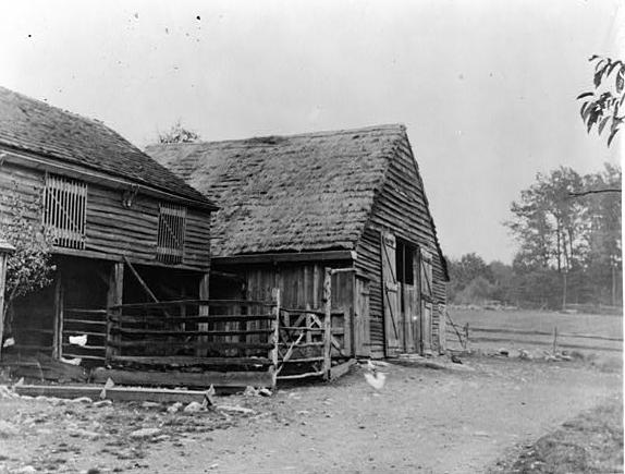
May 7, 1973 13 Pascack Rd.
41°01′43″N 74°02′45″W / 41.028583°N 74.045797°WPark Ridge 257 Frederick Wortendyke House (Woodcliff Lake) 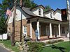
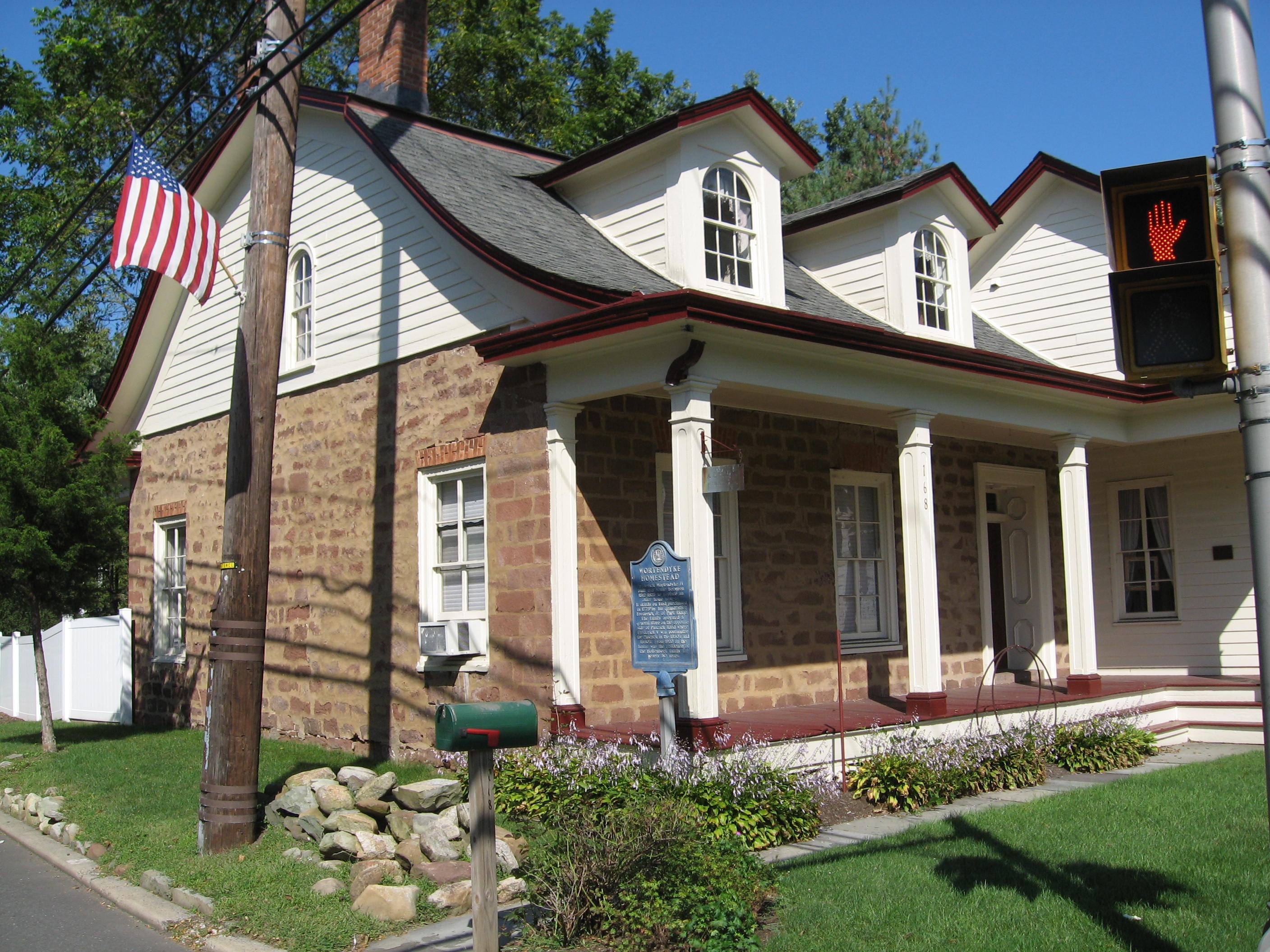
January 10, 1983 168 Pascack Rd.
41°01′16″N 74°02′56″W / 41.020997°N 74.048931°WWoodcliff Lake 258 Frederick Wortendyke House (Park Ridge) 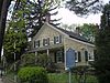
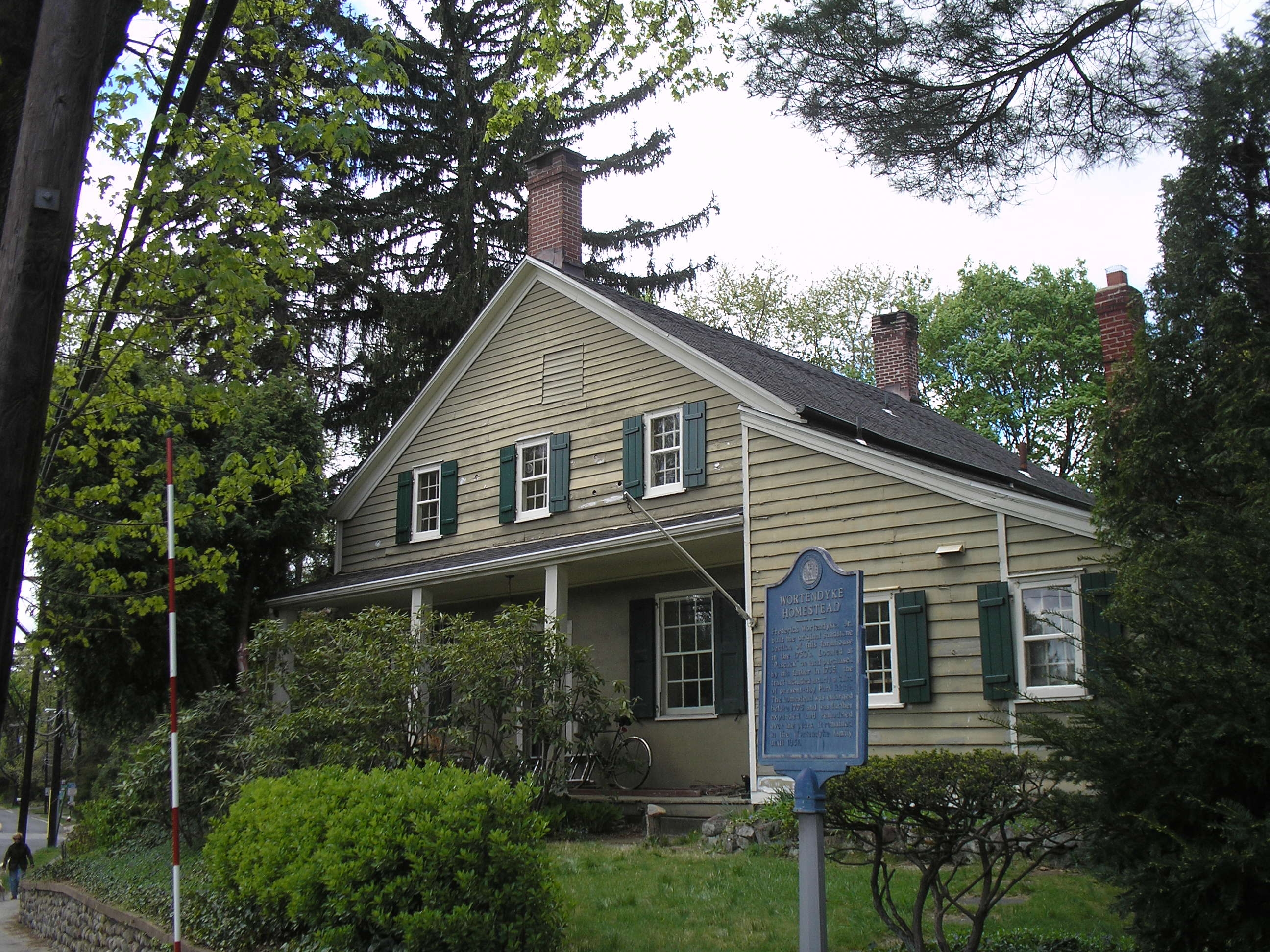
January 10, 1983 12 Pascack Rd.
41°01′10″N 74°02′49″W / 41.019444°N 74.046944°WPark Ridge 259 Jacob Wortendyke House January 10, 1983 445 Chestnut Ridge
41°02′30″N 74°04′28″W / 41.041667°N 74.074444°WWoodcliff Lake 260 Wortendyke-Demund House January 10, 1983 57 Demund Lane
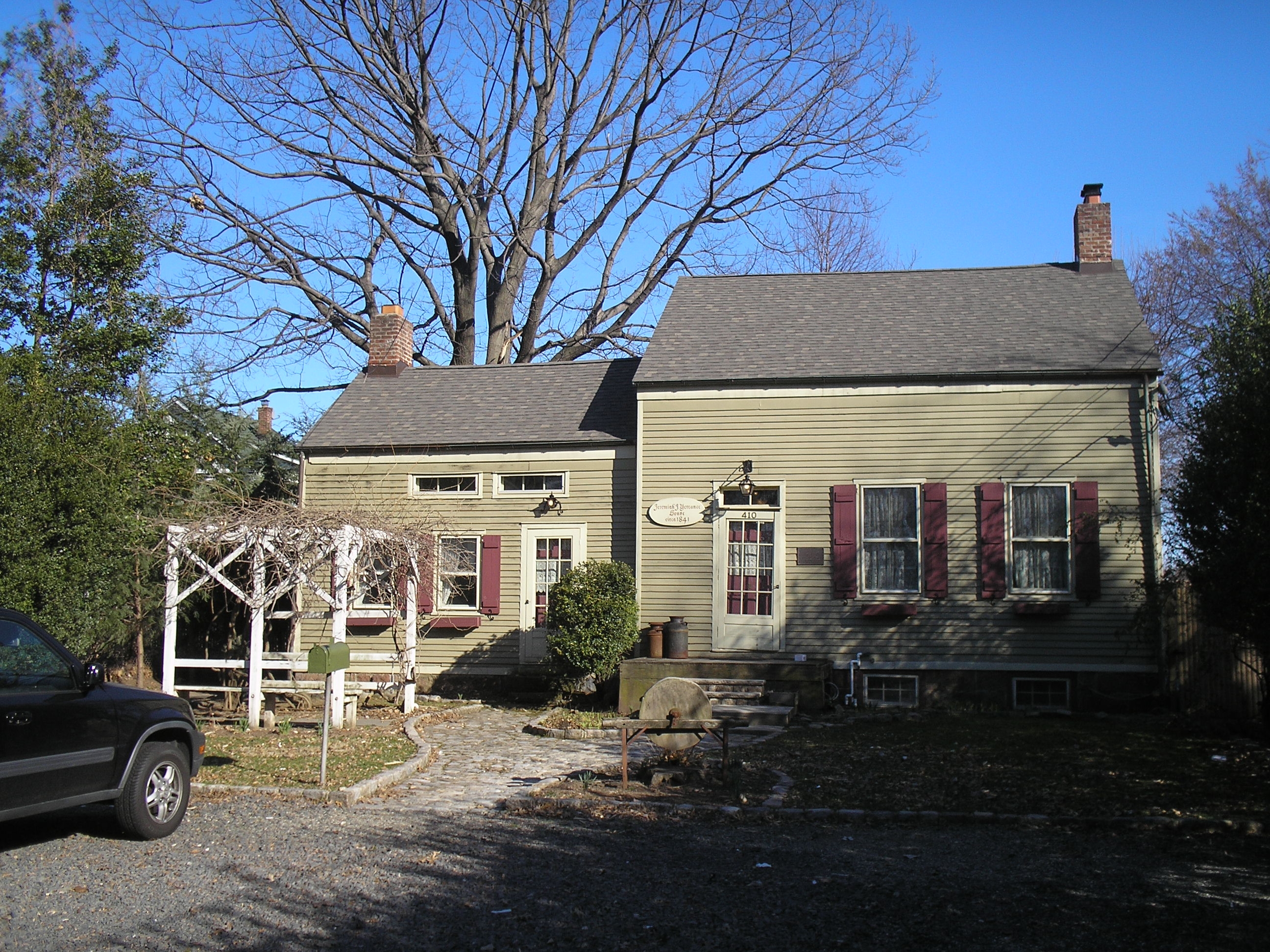
40°59′45″N 74°08′43″W / 40.995833°N 74.145278°WMidland Park 261 Jeremiah J. Yeareance House 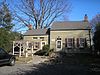
April 3, 1986 410 Riverside Ave.
40°48′51″N 74°08′05″W / 40.814167°N 74.134722°WLyndhurst 262 Yereance-Berry House 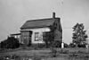
January 10, 1983 91 Crane Ave.
40°48′56″N 74°06′16″W / 40.815556°N 74.104444°WRutherford 263 Zabriskie House 
January 10, 1983 Franklin Turnpike & Sheridan Ave.
40°59′51″N 74°06′37″W / 40.9975°N 74.110278°WHo-Ho-Kus 264 Zabriskie Tenant House 
July 24, 1984 273 Dunkerhook Rd.
40°56′53″N 74°05′50″W / 40.948056°N 74.097222°WParamus Planned to be demolished in 2011.[11] 265 Albert J. Zabriskie Farmhouse November 7, 1977 E of Ridgewood at E. 37 Ridgewood Ave.
40°58′12″N 74°04′39″W / 40.97°N 74.0775°WRidgewood 266 Garret Zabriskie House 
January 9, 1983 317 Massachusetts Ave.
40°57′19″N 73°59′25″W / 40.955278°N 73.990278°WHaworth 267 Henry Zabriskie House January 9, 1983 58 Schraalenburgh Rd.
40°57′25″N 73°59′05″W / 40.956944°N 73.984722°WHaworth 268 Nicholas Zabriskie House January 10, 1983 25 Chimney Ridge Rd.
40°58′56″N 74°03′55″W / 40.982222°N 74.065278°WWashington Township 269 Zabriskie-Christie House 
January 9, 1983 2 Colonial Court
40°56′27″N 74°00′28″W / 40.940833°N 74.007778°WDumont 270 Zabriskie-Kipp-Cadmus House 
December 13, 1978 664 River Rd.
40°53′17″N 74°01′55″W / 40.888056°N 74.031944°WTeaneck Former listings
[3] Landmark name Image Date listed Location City or town Summary 1 Anderson Street Station 
Listed June 22, 1984
Removed May 18, 2011Anderson St.
40°53′39″N 74°2′40″W / 40.89417°N 74.04444°WHackensack Destroyed by fire on January 10, 2009.[12] References
- ^ The latitude and longitude information provided in this table was derived originally from the National Register Information System, which has been found to be fairly accurate for about 99% of listings. For about 1% of NRIS original coordinates, experience has shown that one or both coordinates are typos or otherwise extremely far off; some corrections may have been made. A more subtle problem causes many locations to be off by up to 150 yards, depending on location in the country: most NRIS coordinates were derived from tracing out latitude and longitudes off of USGS topographical quadrant maps created under the North American Datum of 1927, which differs from the current, highly accurate WGS84 GPS system used by Google maps. Chicago is about right, but NRIS longitudes in Washington are higher by about 4.5 seconds, and are lower by about 2.0 seconds in Maine. Latitudes differ by about 1.0 second in Florida. Some locations in this table may have been corrected to current GPS standards.
- ^ "National Register of Historic Places: Weekly List Actions". National Park Service, United States Department of the Interior. Retrieved on November 10, 2011.
- ^ a b Numbers represent an ordering by significant words. Various colorings, defined here, differentiate National Historic Landmark sites and National Register of Historic Places Districts from other NRHP buildings, structures, sites or objects.
- ^ "National Register Information System". National Register of Historic Places. National Park Service. . http://nrhp.focus.nps.gov/natreg/docs/All_Data.html.
- ^ http://www.state.nj.us/dep/hpo/1identify/lists/bergen.pdf Accessed June 15, 2010.
- ^ "New Jersey and National Registers of Historic Places". NJ DEP - Historic Preservation Office. http://www.state.nj.us/dep/hpo/1identify/lists/bergen.pdf. Retrieved 21 July 2010.
- ^ http://www.state.nj.us/dep/hpo/1identify/lists/bergen.pdf Accessed June 15, 2010.
- ^ http://www.hmdb.org/Marker.asp?Marker=6864 Accessed April 14, 2009.
- ^ http://www.bergencountyhistory.org/Pages/steubenhsehistory.html Accessed April 14, 2009.
- ^ "New Jersey and National Registers of Historic Places". NJ DEP. http://www.state.nj.us/dep/hpo/1identify/lists/bergen.pdf. Retrieved 16 July 2010.
- ^ http://www.northjersey.com/community/042911_Paramus_board_clears_way_for_demolition_of_historic_Zabriskie_house.html
- ^ Abdou, Nyier (January 10, 2009). "Fire destroys historic Hackensack train station". The Star-Ledger. http://www.nj.com/news/index.ssf/2009/01/fire_destroys_historic_hackens.html. Retrieved May 29, 2011.
U.S. National Register of Historic Places Topics Lists by states Alabama • Alaska • Arizona • Arkansas • California • Colorado • Connecticut • Delaware • Florida • Georgia • Hawaii • Idaho • Illinois • Indiana • Iowa • Kansas • Kentucky • Louisiana • Maine • Maryland • Massachusetts • Michigan • Minnesota • Mississippi • Missouri • Montana • Nebraska • Nevada • New Hampshire • New Jersey • New Mexico • New York • North Carolina • North Dakota • Ohio • Oklahoma • Oregon • Pennsylvania • Rhode Island • South Carolina • South Dakota • Tennessee • Texas • Utah • Vermont • Virginia • Washington • West Virginia • Wisconsin • WyomingLists by territories Lists by associated states Other  State of New Jersey
Topics Regions - Atlantic Coastal Plain
- Central Jersey
- Delaware River Region
- Delaware Valley
- Gateway Region
- Gold Coast
- Highlands
- Jersey Shore
- Meadowlands
- New York metro area
- North Hudson
- North Jersey
- Pascack Valley
- Piedmont
- Pine Barrens
- Raritan Bayshore
- Ridge-and-Valley Appalachians
- Southern Shore Region
- Skylands Region
- South Jersey
- Tri‑State Region
- West Hudson
Counties Major cities Categories:- National Register of Historic Places in New Jersey
- Bergen County, New Jersey
-


Wikimedia Foundation. 2010.