- National Register of Historic Places listings in Salem County, New Jersey
-
List of the National Register of Historic Places listings in Salem County, New Jersey
Contents: Counties in New Jersey Atlantic - Bergen - Burlington - Camden - Cape May - Cumberland - Essex - Gloucester - Hudson - Hunterdon - Mercer - Middlesex - Monmouth - Morris - Ocean - Passaic - Salem - Somerset - Sussex - Union - Warren This is intended to be a complete list of properties and districts listed on the National Register of Historic Places in Salem County, New Jersey. The locations of National Register properties and districts (at least for all showing latitude and longitude coordinates below) may be seen in a Google map by clicking on "Map of all coordinates".[1]
-
- This National Park Service list is complete through NPS recent listings posted November 10, 2011.[2]
[3] Site name[4] Image Date listed Location[1] City or Town Summary 1 Alloways Creek Friends Meetinghouse 
December 18, 2003 Buttonwood Ave, 150 ft. W of Main St.
39°30′8″N 75°27′33″W / 39.50222°N 75.45917°WHancock's Bridge 2 Richard Brick House 
May 13, 1976 NE of Salem off NJ 45 on Compromise Rd.
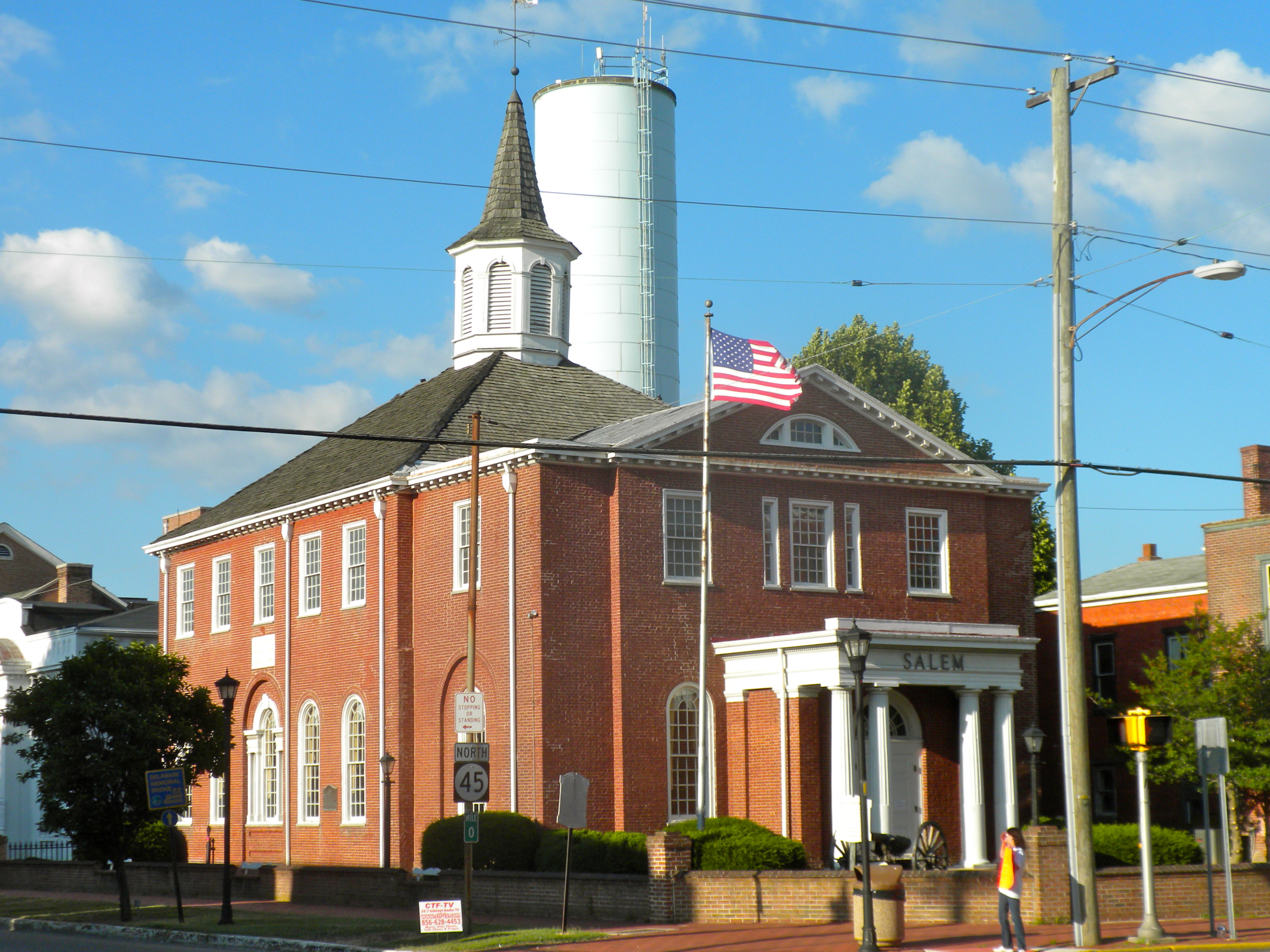
39°36′44″N 75°22′56″W / 39.61222°N 75.38222°WSalem 3 Broadway Historic District 
March 5, 1992 Broadway from Front to Yorke Sts.
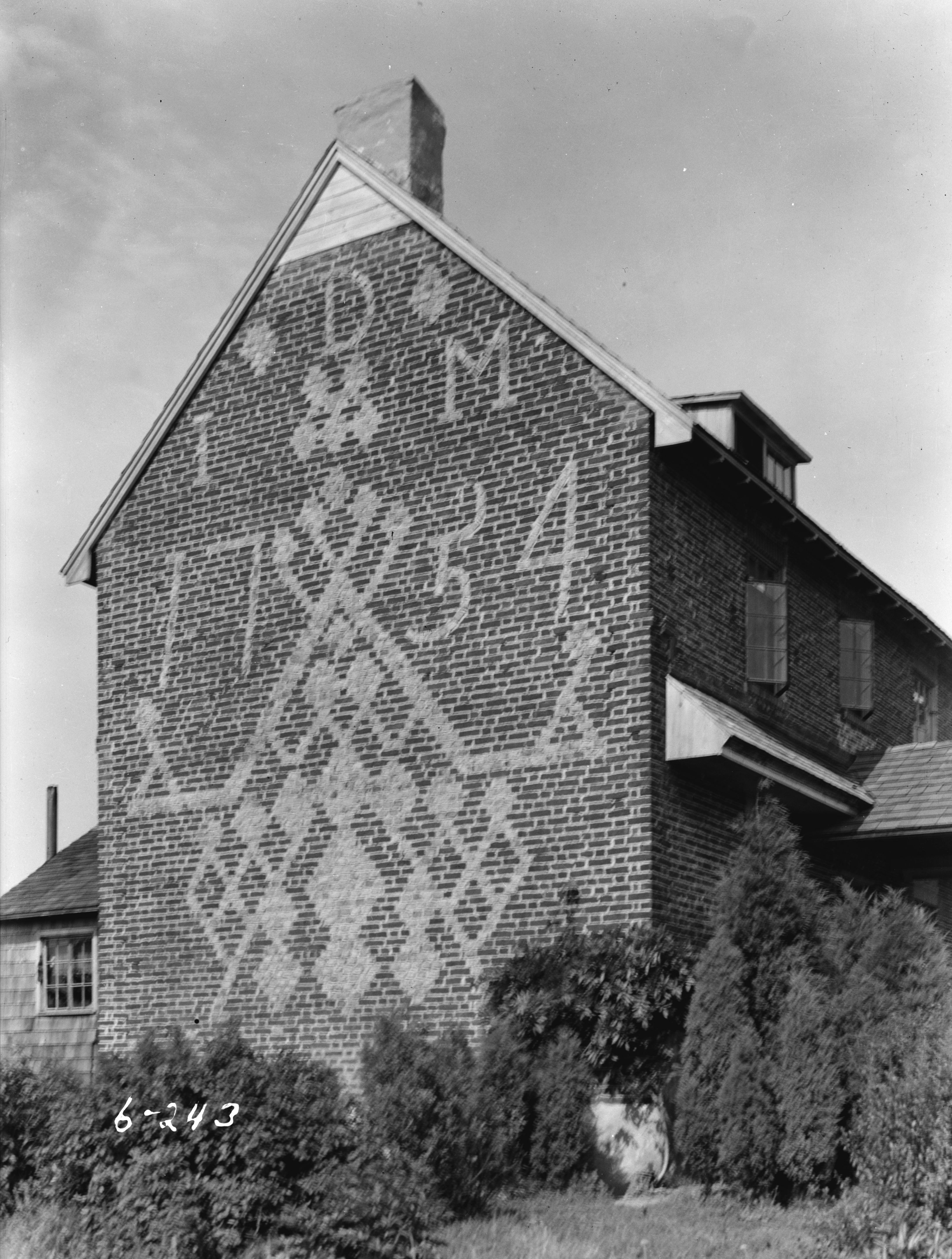
39°34′11″N 75°28′3″W / 39.56972°N 75.4675°WSalem 4 Dickinson House 
February 20, 1975 NE of Alloway on Brickyard Rd.
39°36′1″N 75°20′2″W / 39.60028°N 75.33389°WAlloway Township 5 Zaccheus Dunn House August 10, 1977 S of Woodstown on East Lake Rd.
39°37′55″N 75°19′32″W / 39.63194°N 75.32556°WWoodstown 6 Finn's Point Rear Range Light 
August 30, 1978 NW of Salem at Fort Mott and Lighthouse Rds.
39°37′1″N 75°32′5″W / 39.61694°N 75.53472°WSalem 7 Fort Mott and Finns Point National Cemetery District 
August 31, 1978 NW of Salem on Fort Mott Rd.
39°36′21″N 75°33′8″W / 39.60583°N 75.55222°WSalem 8 Philip Fries House September 28, 1990 Cohansey-Daretown Rd. N of Alloway-Friesburg Rd., Alloway Twnshp.
39°32′23″N 75°17′32″W / 39.53972°N 75.29222°WAlloway Township 9 Hancock House 
December 18, 1970 Rte. 49 and Front St.
39°30′27″N 75°27′38″W / 39.5075°N 75.46056°WLower Alloways Creek Township 10 Hedge-Carpenter-Thompson Historic District 
March 26, 2001 Bounded by Hedge, Thompson, South Third Sts. and Oak St. Alley
39°34′15″N 75°28′32″W / 39.57083°N 75.47556°WSalem 11 Benjamin Holmes House August 31, 1978 W of Salem on Fort Elfsborg-Hancock's Bridge Rd.
39°32′43″N 75°30′46″W / 39.54528°N 75.51278°WSalem 12 James and Mary Lawson House 
February 16, 2001 209 N. Main St.
39°39′20″N 75°19′39″W / 39.65556°N 75.3275°WWoodstown 13 Market Street Historic District 
April 10, 1975 Irregular pattern on both sides of Market St. from Broadway to Fenwick Creek
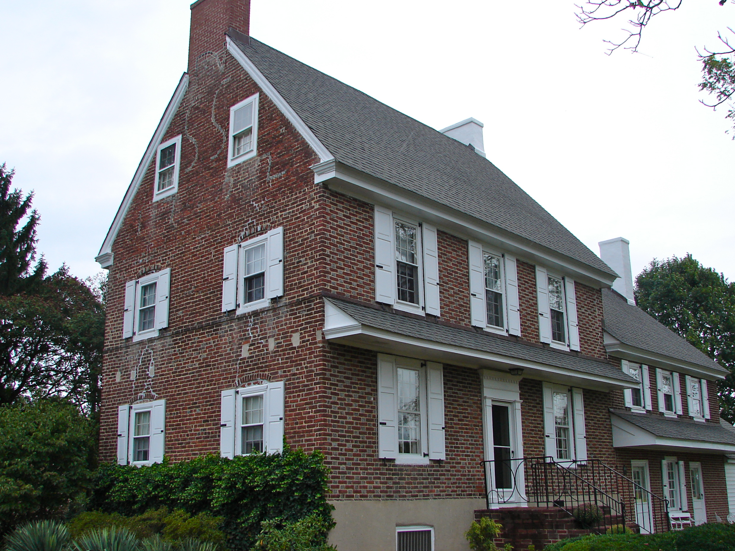
39°34′28″N 75°28′0″W / 39.57444°N 75.466667°WSalem 14 Abel and Mary Nicholson House 
January 16, 1997 Jct. of Hancocks Br. and Ft. Elfsborg Rd., Elfinsboro Township
39°31′15″N 75°29′13″W / 39.52083°N 75.48694°WSalem 15 Sarah and Samuel Nicholson House 
February 24, 1975 2 mi. S of Salem on Amwellbury Rd.
39°32′28″N 75°29′19″W / 39.54111°N 75.48861°WSalem 16 Pittsgrove Presbyterian Church 
September 19, 1977 Main St.
39°36′4″N 75°15′38″W / 39.60111°N 75.26056°WUpper Pittsgrove Township 17 Salem County Insane Asylum 
June 27, 2008 900 Route 45
39°37′53.6016″N 75°21′48.2394″W / 39.631556°N 75.363399833°WMannington Township Former asylum building eyed for preservation 18 Seven Stars Tavern 
May 17, 1976 N of Woodstown at jct. of Sharptown-Swedesboro and Woodstown-Auburn Rds.
39°41′8″N 75°20′23″W / 39.68556°N 75.33972°WWoodstown 19 Joseph Shinn House 
March 7, 1979 68 N. Main St.
39°39′14″N 75°19′46″W / 39.65389°N 75.32944°WWoodstown 20 David V. Smith House 
May 17, 1976 104 S. Main St.
39°35′36″N 75°10′10″W / 39.59333°N 75.16944°WElmer 21 William Smith House February 4, 1994 Jct. of NJ 45 and Bassett Rd., Mannington Township
39°36′49″N 75°24′29″W / 39.61361°N 75.40806°WSalem 22 Joseph Ware House January 26, 1990 134 Poplar St.
39°30′21″N 75°29′9″W / 39.50583°N 75.48583°WHancock's Bridge References
- ^ a b The latitude and longitude information provided in this table was derived originally from the National Register Information System, which has been found to be fairly accurate for about 99% of listings. For about 1% of NRIS original coordinates, experience has shown that one or both coordinates are typos or otherwise extremely far off; some corrections may have been made. A more subtle problem causes many locations to be off by up to 150 yards, depending on location in the country: most NRIS coordinates were derived from tracing out latitude and longitudes off of USGS topographical quadrant maps created under the North American Datum of 1927, which differs from the current, highly accurate WGS84 GPS system used by Google maps. Chicago is about right, but NRIS longitudes in Washington are higher by about 4.5 seconds, and are lower by about 2.0 seconds in Maine. Latitudes differ by about 1.0 second in Florida. Some locations in this table may have been corrected to current GPS standards.
- ^ "National Register of Historic Places: Weekly List Actions". National Park Service, United States Department of the Interior. Retrieved on November 10, 2011.
- ^ Numbers represent an ordering by significant words. Various colorings, defined here, differentiate National Historic Landmark sites, a [[National Historic Site (United States)|]], and several National Register of Historic Places Districts from other NRHP buildings, structures, sites or objects.
- ^ "National Register Information System". National Register of Historic Places. National Park Service. 2008-04-24. http://nrhp.focus.nps.gov/natreg/docs/All_Data.html.
U.S. National Register of Historic Places Topics Lists by states Alabama • Alaska • Arizona • Arkansas • California • Colorado • Connecticut • Delaware • Florida • Georgia • Hawaii • Idaho • Illinois • Indiana • Iowa • Kansas • Kentucky • Louisiana • Maine • Maryland • Massachusetts • Michigan • Minnesota • Mississippi • Missouri • Montana • Nebraska • Nevada • New Hampshire • New Jersey • New Mexico • New York • North Carolina • North Dakota • Ohio • Oklahoma • Oregon • Pennsylvania • Rhode Island • South Carolina • South Dakota • Tennessee • Texas • Utah • Vermont • Virginia • Washington • West Virginia • Wisconsin • WyomingLists by territories Lists by associated states Other  State of New Jersey
Topics Regions - Atlantic Coastal Plain
- Central Jersey
- Delaware River Region
- Delaware Valley
- Gateway Region
- Gold Coast
- Highlands
- Jersey Shore
- Meadowlands
- New York metro area
- North Hudson
- North Jersey
- Pascack Valley
- Piedmont
- Pine Barrens
- Raritan Bayshore
- Ridge-and-Valley Appalachians
- Southern Shore Region
- Skylands Region
- South Jersey
- Tri‑State Region
- West Hudson
Counties Major cities Categories:- National Register of Historic Places in New Jersey
- Salem County, New Jersey
-


Wikimedia Foundation. 2010.