- National Register of Historic Places listings in Essex County, New Jersey
-
List of the National Register of Historic Places listings in Essex County, New Jersey
Contents: Counties in New Jersey Atlantic - Bergen - Burlington - Camden - Cape May - Cumberland - Essex - Gloucester - Hudson - Hunterdon - Mercer - Middlesex - Monmouth - Morris - Ocean - Passaic - Salem - Somerset - Sussex - Union - Warren This is intended to be a complete list of properties and districts listed on the National Register of Historic Places in Essex County, New Jersey. The locations of National Register properties and districts (at least for all showing latitude and longitude coordinates below) may be seen in a Google map by clicking on "Map of all coordinates".[1]
-
- This National Park Service list is complete through NPS recent listings posted November 10, 2011.[2]
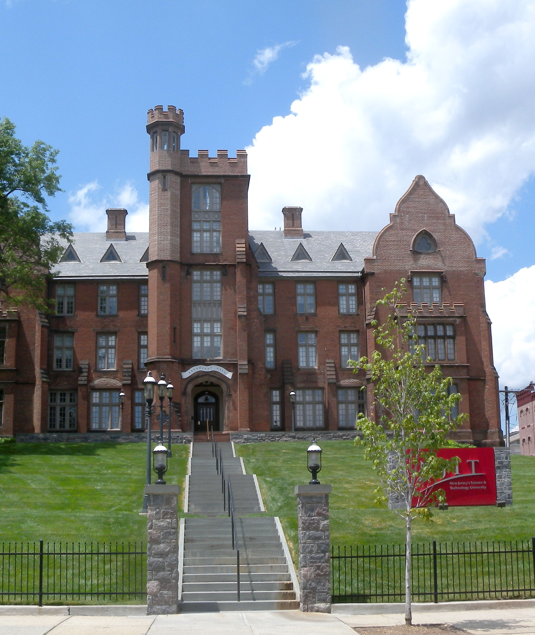
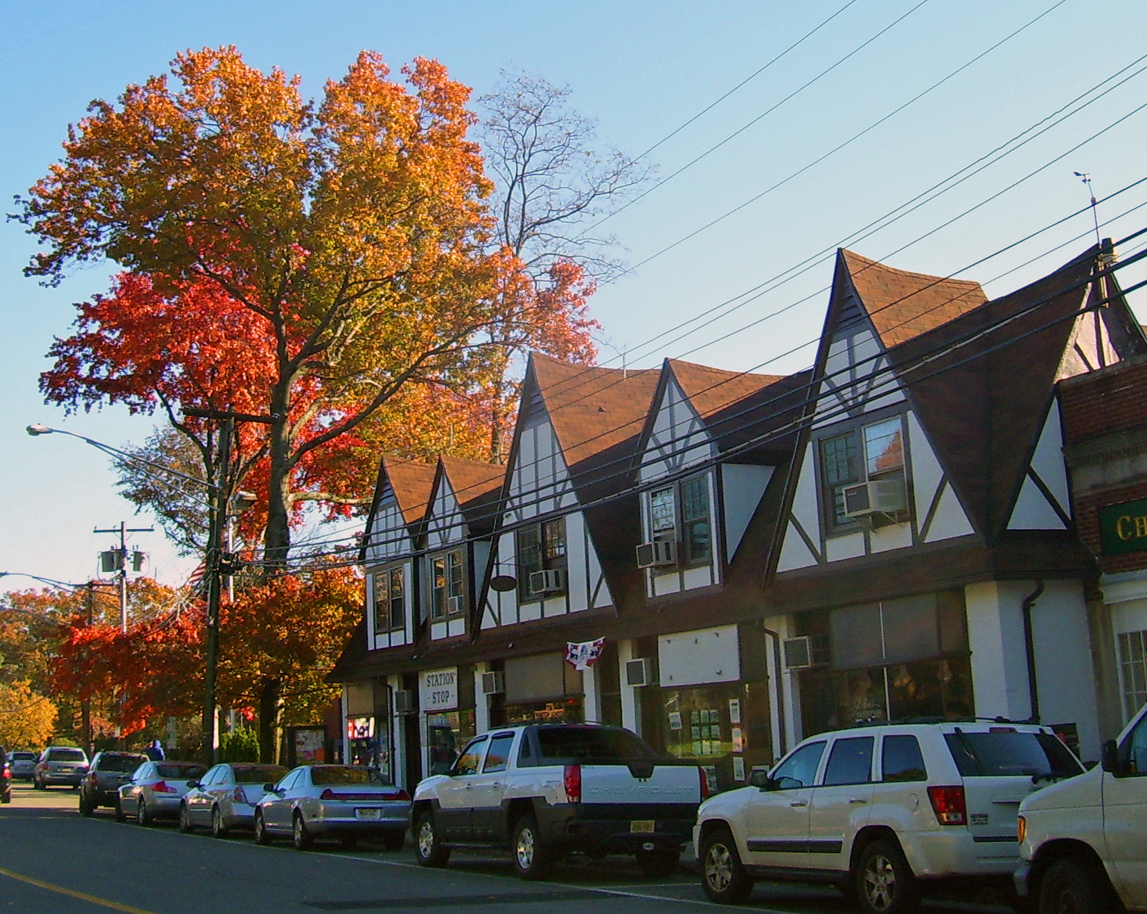
[3] Site name[4] Image Date listed Location[1] City or Town Summary 1 Ahavas Sholom December 13, 2000 145 Broadway
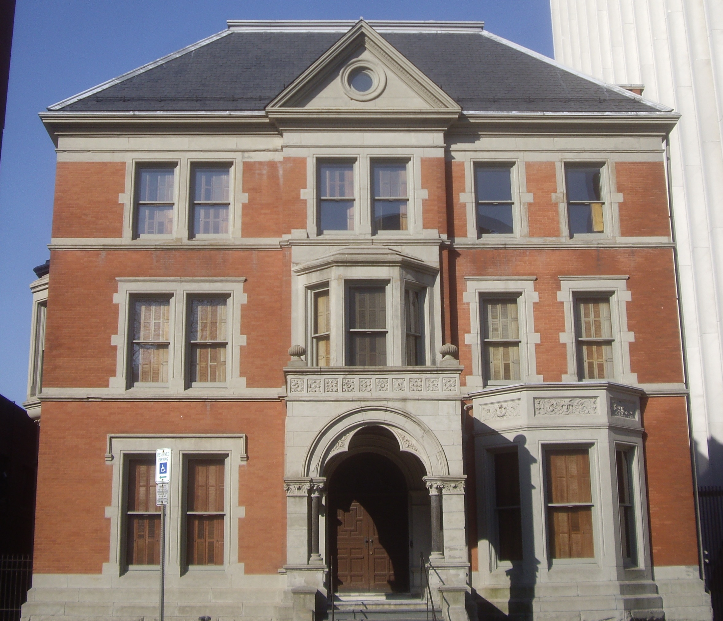
40°45′19″N 74°10′12″W / 40.75528°N 74.17°WNewark Now site of Jewish Museum of New Jersey 2 Ambrose-Ward Mansion 
September 20, 1982 132 S. Harrison St.
40°45′51″N 74°13′20″W / 40.76417°N 74.22222°WEast Orange 3 Ampere Station 
June 22, 1984 Ampere Plaza and Whitney Pl.
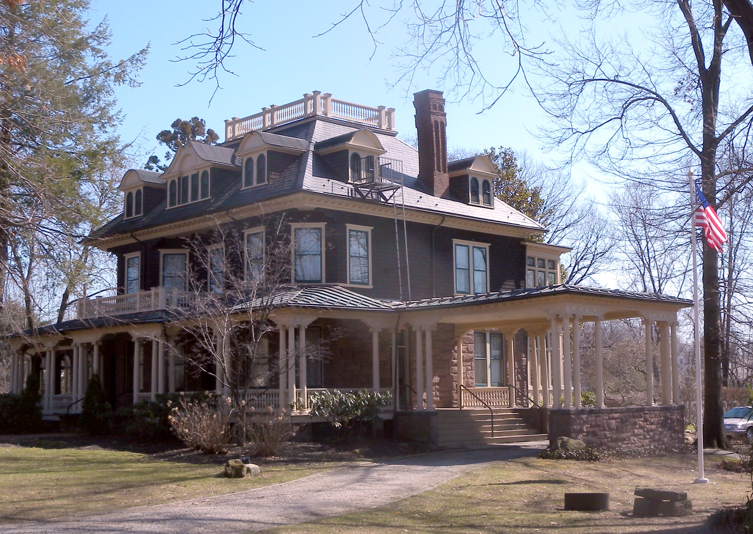
40°45′55″N 74°11′40″W / 40.76528°N 74.19444°WEast Orange The station was closed in 1991 and demolished shortly after. 4 The Anchorage July 1, 1988 155 Wildwood Ave.
40°50′13″N 74°12′15″W / 40.83694°N 74.20417°WMontclair 5 Anderson Park 
December 11, 2009 SE corner of Bellevue and North Mountain Ave.
40°50′29.68″N 74°12′37.67″W / 40.8415778°N 74.2104639°WMontclair First park in first county parks system in country. 6 John Ballantine House 
October 2, 1973 43 Washington St.
40°50′0″N 74°10′16″W / 40.833333°N 74.17111°WNewark Now part of Newark Museum 7 Joseph Bardsley House July 1, 1988 345 Park St.
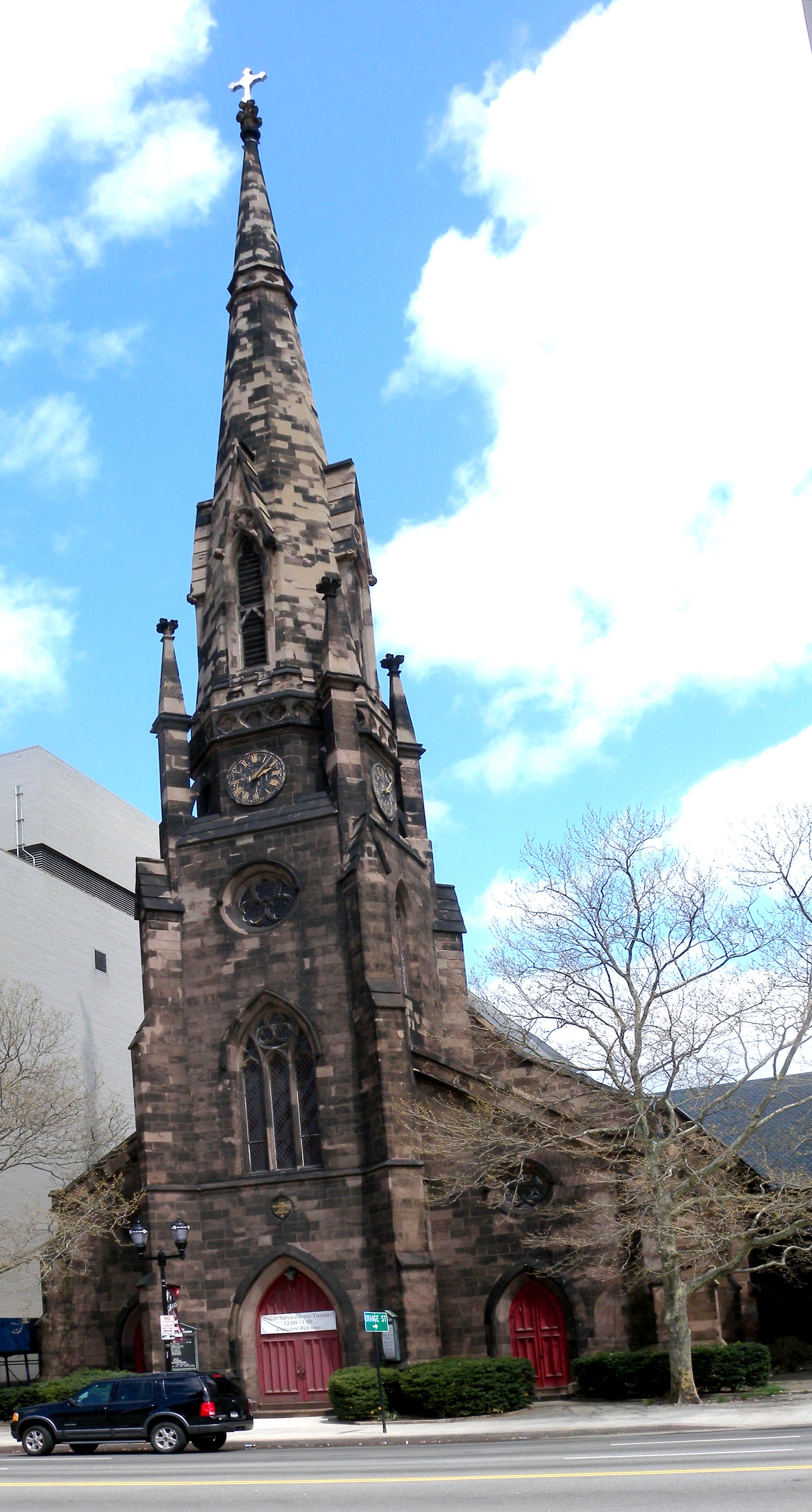
40°50′11″N 74°12′9″W / 40.83639°N 74.2025°WMontclair 8 Belleville Avenue Congregational Church August 13, 1986 151 Broadway
40°45′19″N 74°10′12″W / 40.75528°N 74.17°WNewark 9 Bethany Baptist Church (Newark, New Jersey) May 10, 1989 117 W. Market St.
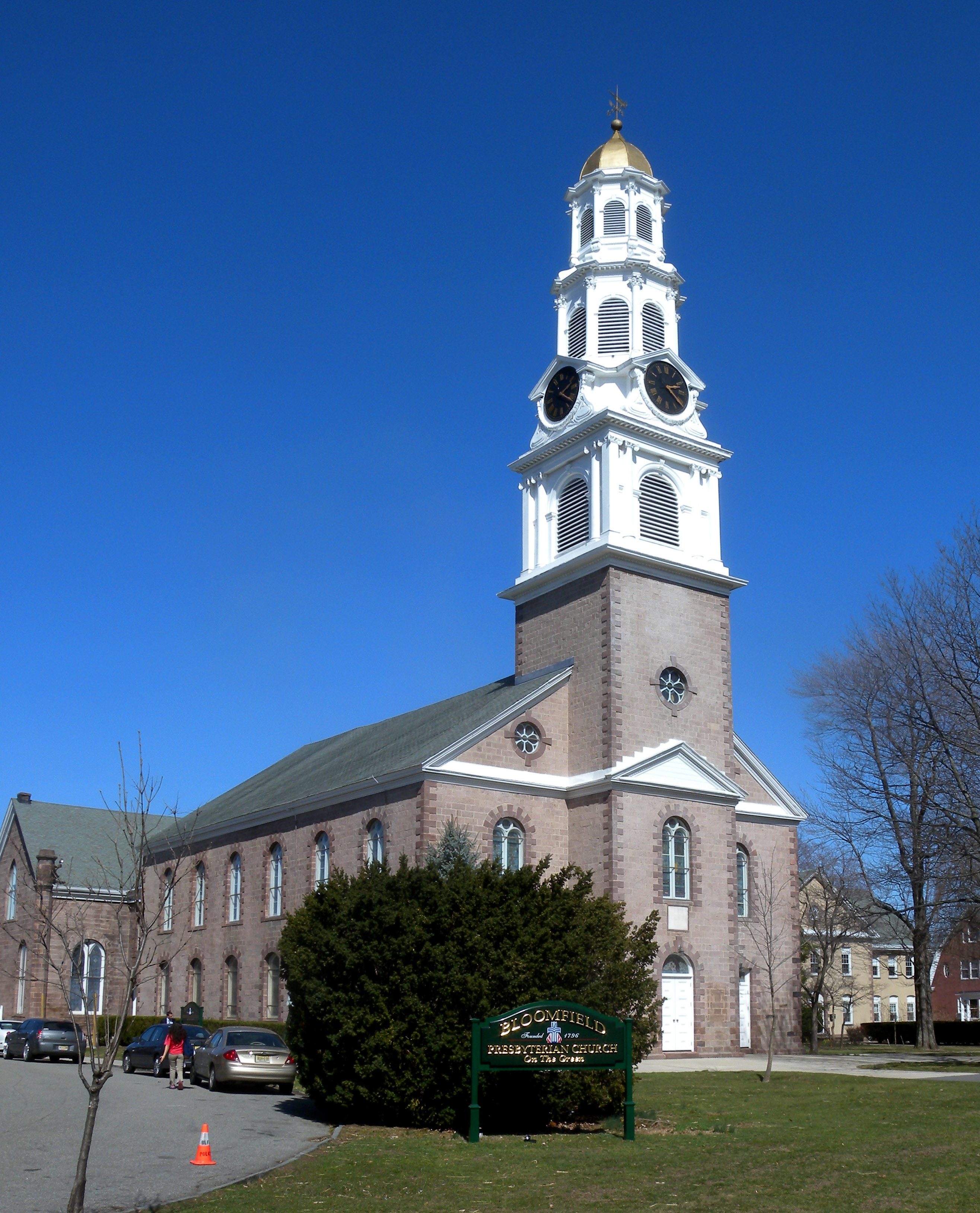
40°44′25″N 74°11′1″W / 40.74028°N 74.18361°WNewark 10 Bloomfield Green Historic District 
April 20, 1978 Bounded by Belleville Ave., Montgomery, Spruce, State, Liberty, and Franklin Sts.
40°47′48″N 74°11′44″W / 40.79667°N 74.19556°WBloomfield 11 Bloomfield Station 
June 22, 1984 Washington St. and Glenwood Ave.
40°47′33″N 74°12′3″W / 40.7925°N 74.20083°WBloomfield 12 Bradner`s Pharmacy July 1, 1988 33 Watchung Plaza
40°49′48″N 74°12′21″W / 40.83°N 74.20583°WMontclair 13 Branch Brook Park 
January 12, 1981 Roughly bounded by Belleville Park, Washington and Clifton Aves., 6th and Orange Sts.
40°46′5″N 74°10′32″W / 40.76806°N 74.17556°WNewark and Belleville 14 Brick Church Station 
June 22, 1984 Brick Church Plaza
40°45′56″N 74°13′10″W / 40.76556°N 74.21944°WEast Orange 15 Caldwell Presbyterian Church Manse 
November 16, 1977 207 Bloomfield Ave.
40°50′15″N 74°16′22″W / 40.8375°N 74.27278°WCaldwell 16 Canfield-Morgan House November 7, 1995 899-903 Pompton Ave. (NJ 23)
40°51′48″N 74°13′51″W / 40.86333°N 74.23083°WCedar Grove 17 Carnegie Library July 1, 1988 Church St. at Valley Rd.
40°48′55″N 74°13′15″W / 40.81528°N 74.22083°WMontclair 18 Casa Deldra July 1, 1988 35 Afterglow Way
40°49′18″N 74°13′42″W / 40.82167°N 74.22833°WMontclair 19 Catedral Evangelica Reformada October 26, 1972 27 Lincoln Park and Halsey St.
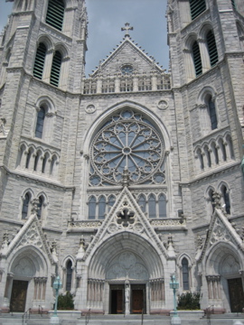
40°43′38″N 74°10′43″W / 40.72722°N 74.17861°WNewark 20 Cathedral of the Sacred Heart 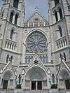
December 22, 1976 89 Ridge St.
40°45′18″N 74°10′43″W / 40.755°N 74.17861°WNewark 21 Central Avenue Commercial Historic District August 26, 1983 560-654 Central Ave.
40°45′42″N 74°13′29″W / 40.76167°N 74.22472°WEast Orange 22 Central Presbyterian Church November 14, 1986 46 Park St.
40°49′4″N 74°13′4″W / 40.81778°N 74.21778°WMontclair 23 J. M. Chapman House July 1, 1988 10 Rockledge
40°49′22″N 74°13′38″W / 40.82278°N 74.22722°WMontclair 24 Church Street School August 25, 1995 65 Church St., Nutley Township
40°49′7.49″N 74°9′48.9″W / 40.8187472°N 74.163583°WNutley 25 William Clark House November 10, 1977 346 Mount Prospect Ave.
40°45′50″N 74°10′20″W / 40.76389°N 74.17222°WNewark 26 Cliffside Hose Company No. 4 July 1, 1988 588 Valley Rd.
40°50′24″N 74°12′34″W / 40.84°N 74.20944°WMontclair 27 Community Hospital March 22, 2004 130 W. Kinney St.
40°43′57″N 74°10′57″W / 40.7325°N 74.1825°WNewark 28 Congregational Church 
July 1, 1988 42 S. Fullerton Ave.
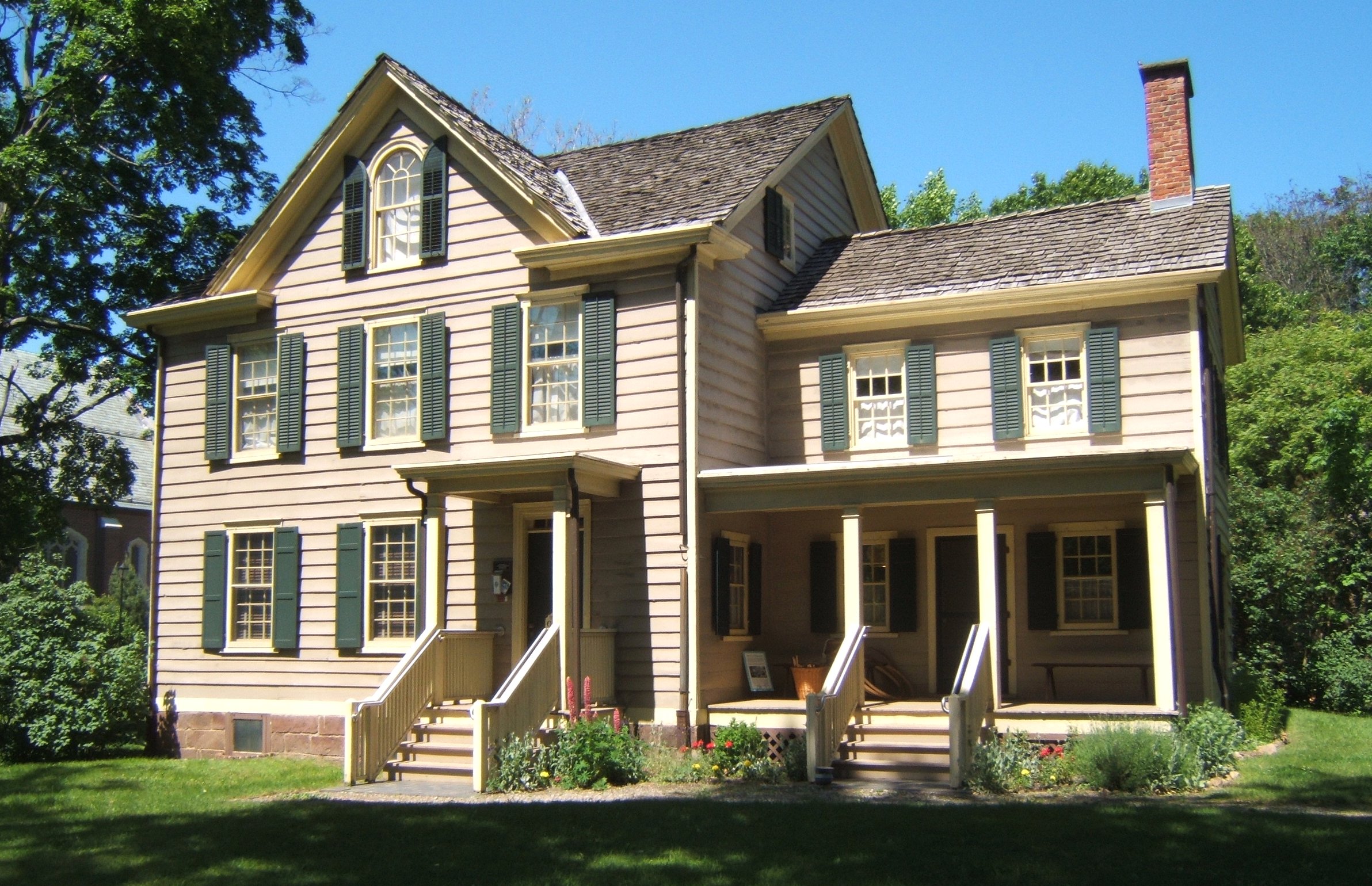
40°48′45″N 74°13′11″W / 40.8125°N 74.21972°WMontclair 29 Israel Crane House 
March 14, 1973 110 Orange Rd.
40°48′41″N 74°13′26″W / 40.81139°N 74.22389°WMontclair 30 Dock Bridge 
October 3, 1980 Spans Passaic River
40°44′9″N 74°9′43″W / 40.73583°N 74.16194°WNewark 31 East Orange Station 
June 22, 1984 65 City Hall Plaza
40°45′40″N 74°12′40″W / 40.76111°N 74.21111°WEast Orange 32 Eastward July 1, 1988 50 Lloyd Rd.
40°49′7″N 74°13′45″W / 40.81861°N 74.22917°WMontclair 33 Edison National Historic Site 
October 15, 1966 Main St. between Alden and Lakeside Sts.
40°47′13″N 74°14′16″W / 40.78694°N 74.23778°WWest Orange 34 Edison Storage Battery Company Building 
February 28, 1996 177 Main St.
40°46′57″N 74°14′7″W / 40.7825°N 74.23528°WWest Orange 35 Egbert Farm July 1, 1988 128 N. Mountain Ave.
40°49′39″N 74°13′8″W / 40.8275°N 74.21889°WMontclair 36 Enclosure Historic District December 31, 1974 Enclosure and Calico Lane
40°49′11″N 74°9′16″W / 40.81972°N 74.15444°WNutley 37 Essex Club February 22, 1991 Address Restricted Newark 38 Essex County Courthouse 
June 26, 1975 470 High St.
40°44′13″N 74°10′45″W / 40.73694°N 74.17917°WNewark 39 Essex County Jail 
September 3, 1991 21 Wilsey St.
40°44′40″N 74°10′58″W / 40.74444°N 74.18278°WNewark 40 Essex County Park Commission Administration Building November 11, 1977 115 Clifton Ave.
40°45′12″N 74°10′41″W / 40.75333°N 74.17806°WNewark 41 Evergreen Cemetery July 9, 1991 1137 N. Broad St.
40°41′32″N 74°12′39″W / 40.69222°N 74.21083°WNewark 42 Fairfield Dutch Reformed Church 
October 7, 1975 Fairfield Rd.
40°53′4″N 74°16′57″W / 40.88444°N 74.2825°WFairfield 43 Feigenspan Mansion October 5, 1977 710 High St.
40°43′41″N 74°10′58″W / 40.72806°N 74.18278°WNewark 44 Henry Fenn House July 1, 1988 208 N. Mountain Ave.
40°49′59″N 74°13′2″W / 40.83306°N 74.21722°WMontclair 45 First Baptist Peddie Memorial Church 
October 30, 1972 Broad and Fulton Sts.
40°44′29″N 74°10′9″W / 40.74139°N 74.16917°WNewark 46 First Methodist Episcopal Church July 1, 1988 24 N. Fullerton Ave.
40°48′55″N 74°13′6″W / 40.81528°N 74.21833°WMontclair 47 First National State Bank Building August 10, 1977 810 Broad St.
40°44′4″N 74°10′22″W / 40.73444°N 74.17278°WNewark 48 Forest Hill Historic District 
August 3, 1990 Roughly bounded by Verona Ave., Mt. Prospect Ave., 2nd Ave., and Branch Brook Park
40°46′22″N 74°10′14″W / 40.77278°N 74.17056°WNewark 49 Four Corners Historic District 
September 8, 2000 Roughly bounded by Raymond Blvd., Mulberry St., Hill St. and Washington St.
40°44′6″N 74°10′26″W / 40.735°N 74.17389°WNewark 50 Free Public Library, Upper Montclair Branch July 1, 1988 185 Bellevue Ave.
40°50′29″N 74°12′19″W / 40.84139°N 74.20528°WMontclair 51 Glen Ridge Historic District August 9, 1982 Roughly bounded by Bay St., Essex and Midland Aves., Adams Pl., Spencer Rd., and Franklin Pl.
40°47′52″N 74°12′19″W / 40.79778°N 74.20528°WGlen Ridge Boundary increase (added 1988-11-14): N side roughly along Ridgewood and Forest Ave. from Bay to Gray St., S side along Hawthorne, Carteret, and Midland Ave. 52 Glencoe October 1, 1991 698 Martin Luther King Blvd.
40°43′42″N 74°10′56″W / 40.72833°N 74.18222°WNewark 53 Frank Goodwillie House July 1, 1988 17 Wayside Pl.
40°48′16″N 74°13′51″W / 40.80444°N 74.23083°WMontclair 54 Grace Church 
November 2, 1972 Broad and Walnut Sts.
40°43′50″N 74°10′28″W / 40.73056°N 74.17444°WNewark 55 Griffith Building 
May 24, 1984 605-607 Broad St.
40°44′26″N 74°10′14″W / 40.74056°N 74.17056°WNewark 56 Hahne and Company August 30, 1994 609 Broad St.
40°44′25″N 74°10′14″W / 40.74028°N 74.17056°WNewark 57 Samuel Orton Harrison House 
June 30, 1980 153 Orton Rd.
40°49′50″N 74°18′15″W / 40.83056°N 74.30417°WWest Caldwell 58 Haskell`s Bloomfield Villa July 1, 1988 84 Llewellyn Rd.
40°48′16″N 74°13′35″W / 40.80444°N 74.22639°WMontclair 59 Home Office Building 
June 17, 1982 8-12 Park Pl.
40°44′25″N 74°10′7″W / 40.74028°N 74.16861°WNewark 60 House at 147 Park Street July 1, 1988 147 Park St.
40°49′23″N 74°12′40″W / 40.82306°N 74.21111°WMontclair 61 House at 18 Brunswick Road July 1, 1988 18 Brunswick Rd.
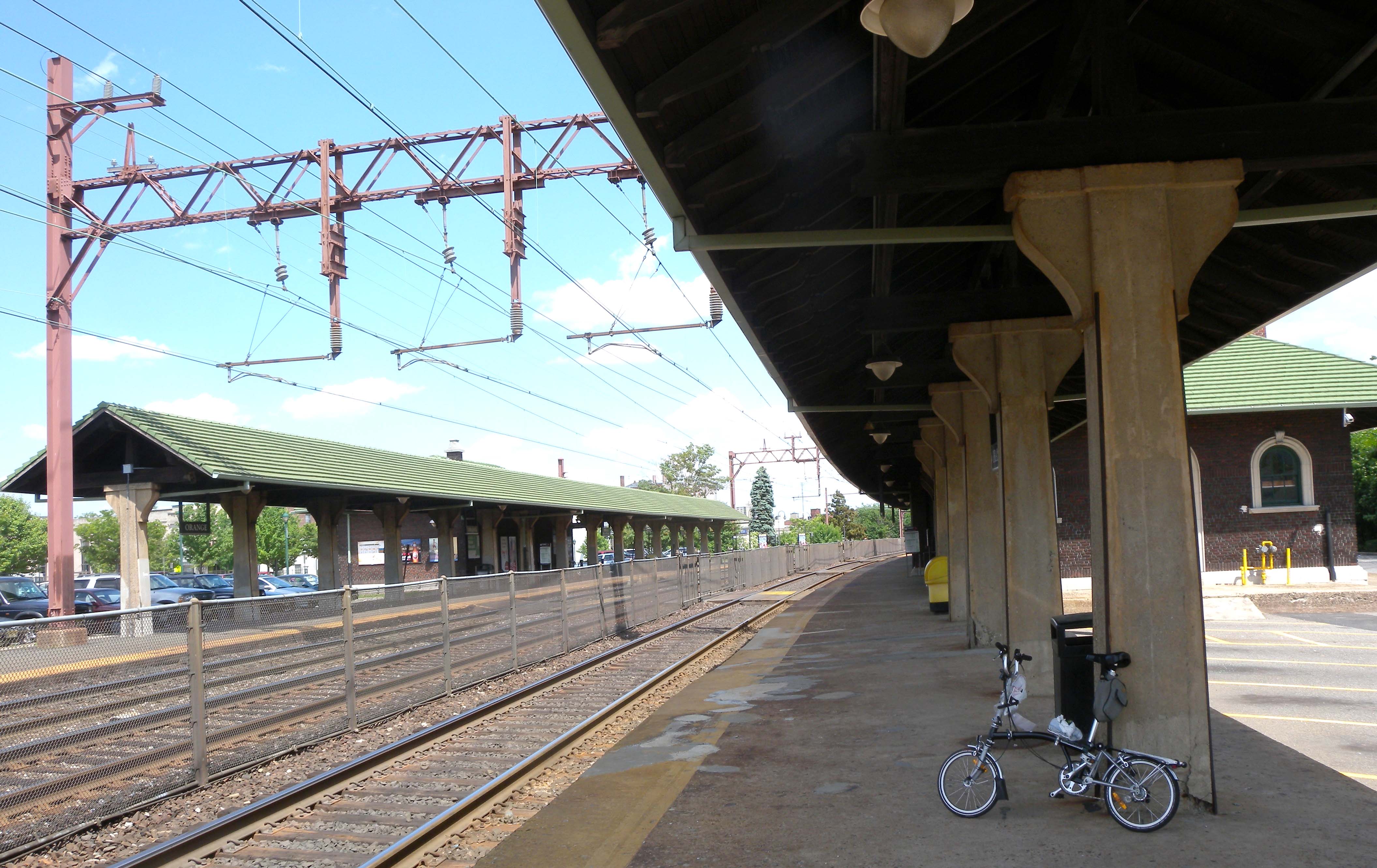
40°49′33″N 74°12′51″W / 40.82583°N 74.21417°WMontclair 62 House at 21 Stonebridge Road July 1, 1988 21 Stonebridge Rd.
40°48′4″N 74°13′41″W / 40.80111°N 74.22806°WMontclair 63 House at 52 Wayside Place July 1, 1988 52 Wayside Pl.
40°48′5″N 74°13′52″W / 40.80139°N 74.23111°WMontclair 64 House at 53 Lloyd Road July 1, 1988 53 Lloyd Rd.
40°49′3″N 74°13′45″W / 40.8175°N 74.22917°WMontclair 65 House at 67 Warren Place July 1, 1988 67 Warren Pl.
40°48′20″N 74°13′36″W / 40.80556°N 74.22667°WMontclair 66 House at 68 Eagle Rock Way July 1, 1988 68 Eagle Rock Way
40°50′28″N 74°12′33″W / 40.84111°N 74.20917°WMontclair 67 House at 7 South Mountain Terrace November 15, 1986 7 S. Mountain Terr.
40°48′37″N 74°13′51″W / 40.81028°N 74.23083°WMontclair 68 House at 80 Lloyd Road July 1, 1988 80 Lloyd Rd.
40°48′57″N 74°13′50″W / 40.81583°N 74.23056°WMontclair 69 House at 97 Warren Place July 1, 1988 97 Warren Pl.
40°48′39″N 74°13′44″W / 40.81083°N 74.22889°WMontclair 70 House of Prayer Episcopal Church and Rectory 
October 30, 1972 Broad and State Sts.
40°44′53″N 74°10′17″W / 40.74806°N 74.17139°WNewark 71 The House that Lives July 1, 1988 83 Watchung Ave.
40°49′52″N 74°12′34″W / 40.83111°N 74.20944°WMontclair 72 Indian and the Puritan October 28, 1994 Opposite 5 Washington St.
40°44′38″N 74°10′13″W / 40.74389°N 74.17028°WNewark 73 Interstate Hosiery Mills, Inc. Mill Building December 30, 2009 110 N. Fulton St.
40°47′16.09″N 74°12′27.47″W / 40.7878028°N 74.2076306°WBloomfield 74 Jacobus House April 1, 1975 178 Grove Ave.
40°51′3″N 74°14′6″W / 40.85083°N 74.235°WCedar Grove 75 James Street Commons Historic District 
January 9, 1978 Roughly bounded by Halsey, Warren, Boyden, Bleeker, Orange, and Broad Sts.
40°44′36″N 74°10′25″W / 40.74333°N 74.17361°WNewark 76 James Street Commons Historic District Addendum September 22, 1983 18 Washington Pl.
40°44′30″N 74°10′16″W / 40.74167°N 74.17111°WNewark 77 Eugene V. Kelly Carriage House November 10, 1975 S. Orange Ave., Seton Hall University campus
40°44′40″N 74°14′38″W / 40.74444°N 74.24389°WSouth Orange Historic building from 1887, with 5 acres, now on Seton Hall University campus 78 Kingsland Manor March 24, 1978 3 Kingsland St.
40°49′35″N 74°8′35″W / 40.82639°N 74.14306°WNutley 79 Krueger Mansion 
November 9, 1972 601 High St.
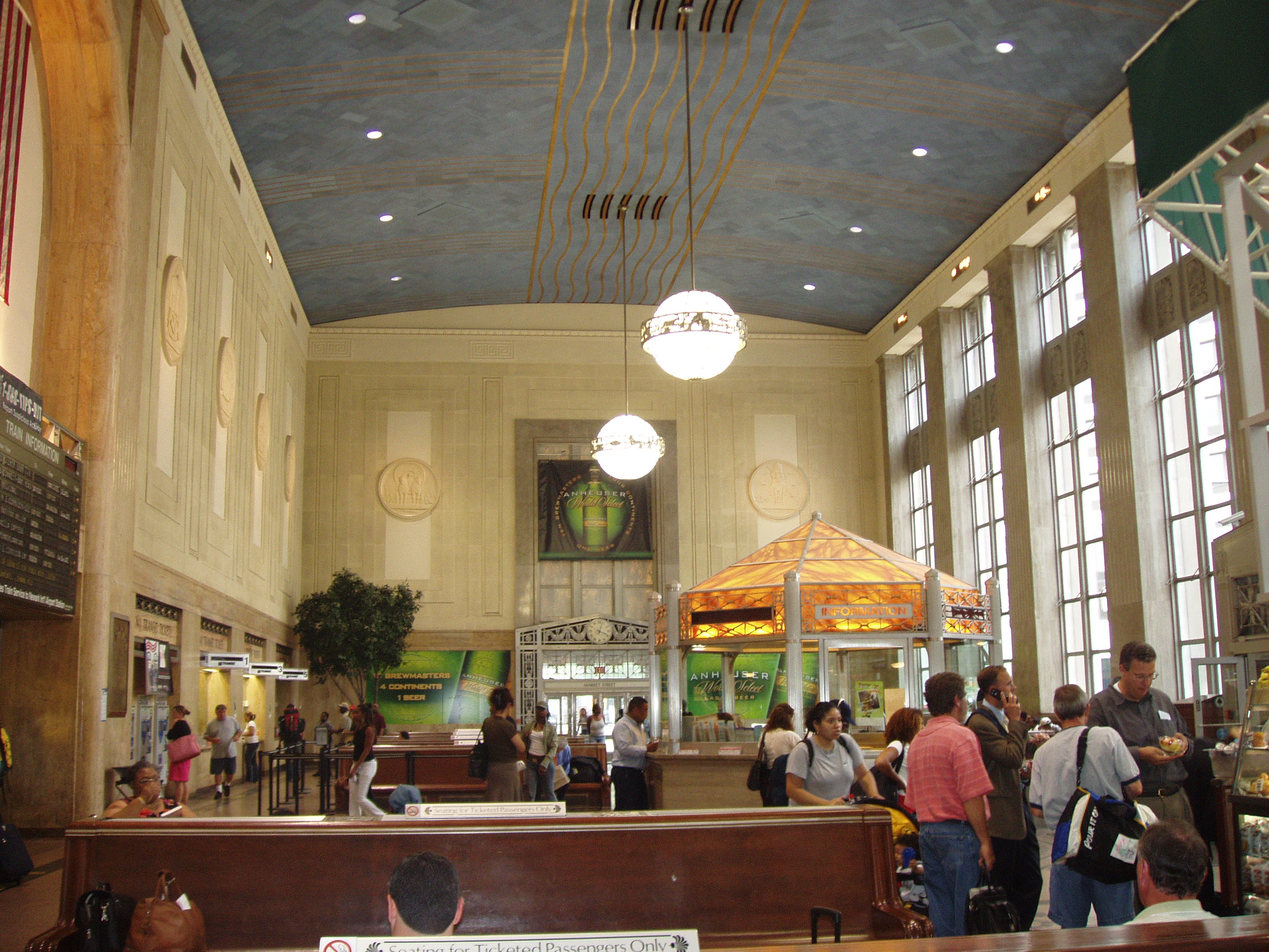
40°43′57″N 74°10′54″W / 40.7325°N 74.18167°WNewark 80 Lincoln Park Historic District January 5, 1984 Lincoln Park, Clinton Ave., and Spruce and Broad Sts.
40°43′35″N 74°10′46″W / 40.72639°N 74.17944°WNewark 81 Llewellyn Park Historic District February 28, 1986 Roughly bounded by Eagle Rock Ave., Main St., Pleasant Ave., and NJ 280
40°47′37″N 74°14′25″W / 40.79361°N 74.24028°WWest Orange 82 Marlboro Park Historic District July 22, 1988 Roughly along Fairfield St., Waterbury Rd., Montclair Ave., and Watchung Ave. between N. Fullerton and Grove Sts.
40°49′46″N 74°12′9″W / 40.82944°N 74.2025°WMontclair 83 Marsellis House July 1, 1988 190 Cooper Ave.
40°50′19″N 74°12′21″W / 40.83861°N 74.20583°WMontclair 84 Military Park Commons Historic District June 18, 2004 Roughly bounded by Washington Pl., McCarter Hwy, E. Park St. and Raymond Blvd.
40°44′19.07″N 74°10′9.43″W / 40.7386306°N 74.1692861°WNewark 85 Miller Street Historic District July 1, 1988 Miller and Fulton Sts. between Elmwood Ave., Elm, and New Sts.
40°48′26″N 74°12′53″W / 40.80722°N 74.21472°WMontclair 86 George A. Miller House July 1, 1988 275 Claremont Ave.
40°49′13″N 74°13′11″W / 40.82028°N 74.21972°WMontclair 87 Montclair Art Museum 
November 14, 1986 3 S. Mountain Ave.
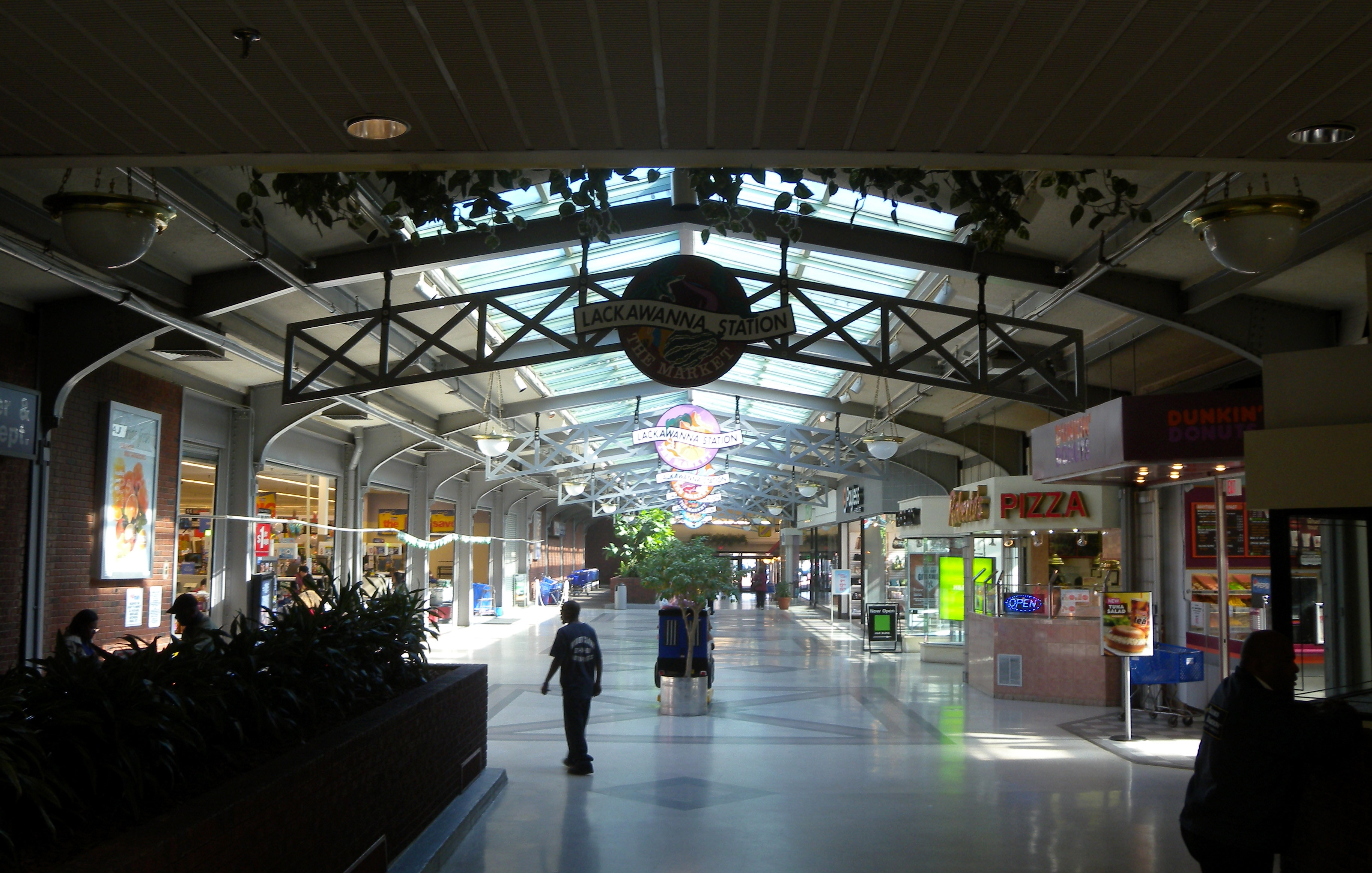
40°49′7″N 74°13′27″W / 40.81861°N 74.22417°WMontclair 88 Montclair Railroad Station 
January 8, 1973 Lackawanna Plaza
40°48′41″N 74°12′48″W / 40.81139°N 74.21333°WMontclair 89 Montrose Park Historic District August 29, 1997 Roughly bounded by S. Orange, Sanford, and Heywood Aves., and Holland Rd.
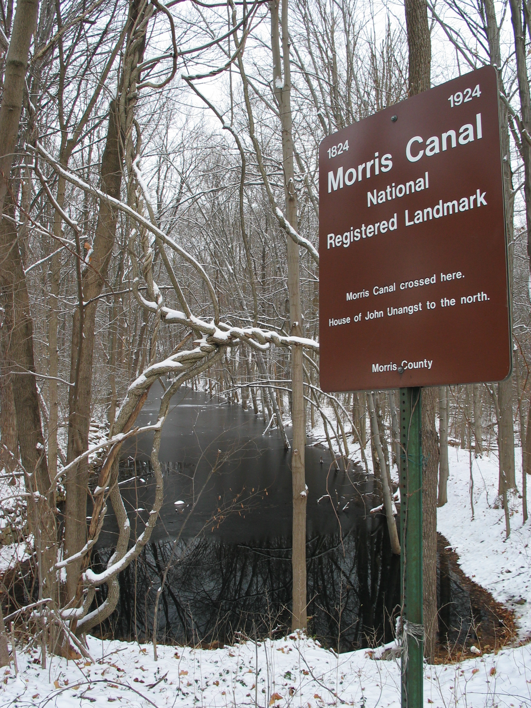
40°44′57″N 74°14′52″W / 40.74917°N 74.24778°WSouth Orange 90 Morris Canal 
October 1, 1974 Irregular line beginning at Phillipsburg and ending at Jersey City
40°41′8″N 75°9′49″W / 40.68556°N 75.16361°WNot Applicable 91 Mount Pleasant Cemetery 
October 28, 1988 375 Broadway
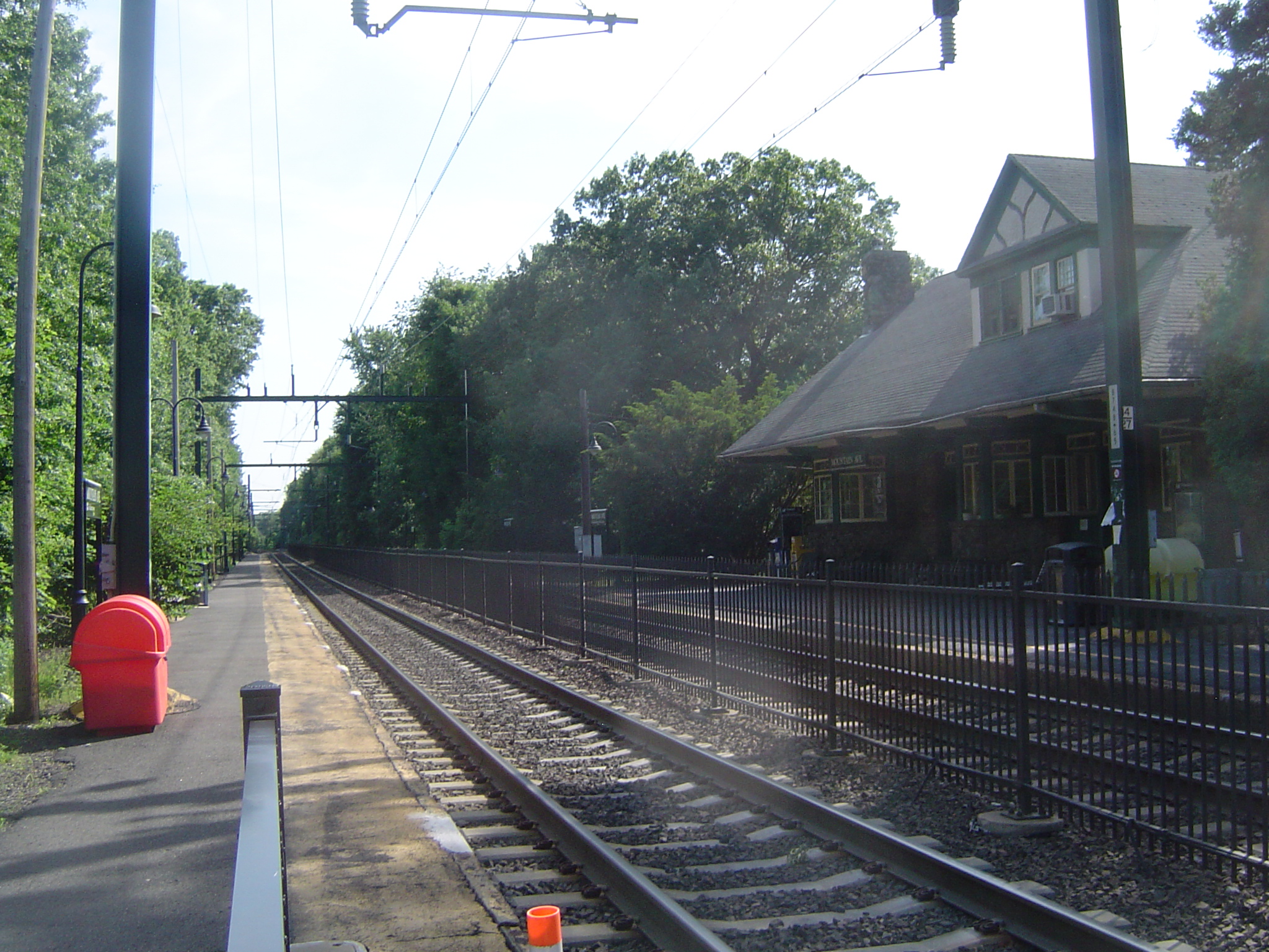
40°45′50″N 74°9′51″W / 40.76389°N 74.16417°WNewark 92 Mountain Avenue Station 
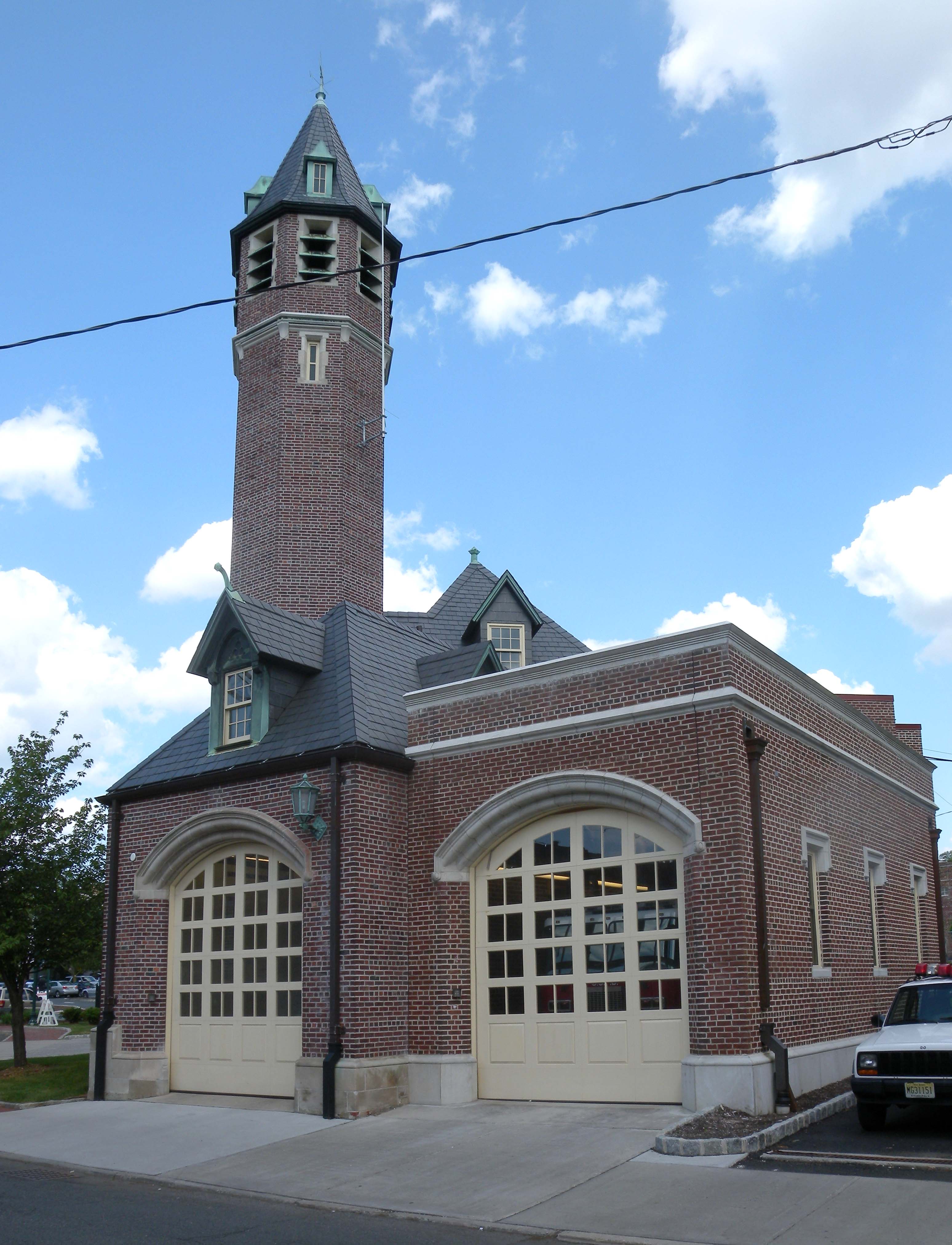
June 22, 1984 451 Upper Mountain Ave.
40°50′57″N 74°12′21″W / 40.84917°N 74.20583°WUpper Montclair 93 Mountain District July 22, 1988 Roughly bounded by Highland, Bradford, Upper Mountain, and Claremont Aves.
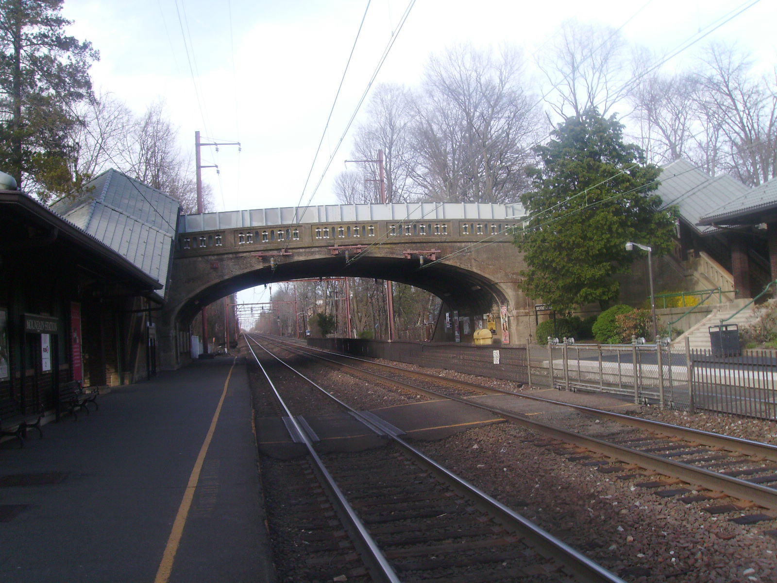
40°49′52″N 74°13′10″W / 40.83111°N 74.21944°WMontclair 94 Mountain Station 
September 29, 1984 449 Vose Ave.
40°45′17″N 74°15′13″W / 40.75472°N 74.25361°WSouth Orange 95 Mulford House July 1, 1988 207 Union St.
40°48′42″N 74°13′50″W / 40.81167°N 74.23056°WMontclair 96 Murphy Varnish Works March 9, 1979 McWhorter, Vesey, and Chestnut Sts.
40°43′28″N 74°10′14″W / 40.72444°N 74.17056°WNewark 97 Mutual Benefit Life Insurance Company 
November 17, 1983 300 Broadway and 2nd St.
40°45′40″N 74°10′10″W / 40.76111°N 74.16944°WNewark 98 New Jersey Bell Headquarters Building 
September 21, 2005 540 Broad St.
40°44′42″N 74°10′8″W / 40.745°N 74.16889°WNewark 99 New Point Baptist Church November 2, 1972 17 E. Kinney St.
40°43′41″N 74°10′32″W / 40.72806°N 74.17556°WNewark 100 Newark Broad Street Station 
June 22, 1984 Broad and University Sts.
40°44′50″N 74°10′20″W / 40.74722°N 74.17222°WNewark 101 Newark City Hall 
February 17, 1978 920 Broad St.
40°43′54″N 74°10′27″W / 40.73167°N 74.17417°WNewark 102 Newark Female Charitable Society September 12, 1979 305 Halsey St., 41-43 Hill St.
40°43′56″N 74°10′36″W / 40.73222°N 74.17667°WNewark 103 Newark Metropolitan Airport Buildings December 12, 1980 U.S. 22
40°42′23″N 74°9′45″W / 40.70639°N 74.1625°WNewark 104 Newark Orphan Asylum 
June 19, 1973 High and Bleeker Sts., Newark College of Engineering
40°44′36″N 74°15′37″W / 40.74333°N 74.26028°WNewark 105 North Broad Street Historic District July 23, 1996 136-148 Broad St.
40°45′27″N 74°10′8″W / 40.7575°N 74.16889°WNewark 106 North Reformed Church 
October 5, 1972 510 Broad St.
40°44′39″N 74°10′10″W / 40.74417°N 74.16944°WNewark 107 Oakes Estate 
August 6, 1981 240 Belleville Ave.
40°47′56″N 74°11′27″W / 40.79889°N 74.19083°WBloomfield 108 Old First Presbyterian Church 
November 2, 1972 820 Broad St.
40°44′3″N 74°10′22″W / 40.73417°N 74.17278°WNewark 109 Orange Free Public Library September 28, 1981 348 Main St.
40°46′21″N 74°13′56″W / 40.7725°N 74.23222°WOrange 110 Orange Station 
June 22, 1984 73 Lincoln Ave.
40°46′18″N 74°14′2″W / 40.77167°N 74.23389°WOrange 111 Pan American C.M.A. Church July 31, 1972 76 Prospect St.
40°43′48″N 74°9′47″W / 40.73°N 74.16306°WNewark 112 Passaic Machine Works-Watts, Campbell & Company 
August 13, 1986 1270 McCarter Hwy.
40°45′2″N 74°10′4″W / 40.75056°N 74.16778°WNewark 113 Pennsylvania Station 
December 20, 1978 Raymond Plaza West
40°44′3″N 74°9′53″W / 40.73417°N 74.16472°WNewark 114 Pine Street Historic District March 16, 2000 Roughly bounded by Glenridge Ave., the NJ TRANSIT Boonton Line, Pine and Baldwin Sts.
40°48′35″N 74°12′28″W / 40.80972°N 74.20778°WMontclair 115 Post Office Building, Upper Montclair July 1, 1988 242-244 Bellevue Ave.
40°50′28″N 74°12′33″W / 40.84111°N 74.20917°WMontclair 116 Presby Memorial Iris Gardens Horticultural Center September 17, 1980 474 Upper Mountain Ave.
40°51′5″N 74°12′23″W / 40.85139°N 74.20639°WMontclair 117 Protestant Foster Home February 13, 1986 272-284 Broadway
40°45′37″N 74°10′11″W / 40.76028°N 74.16972°WNewark 118 Queen of Angels Church October 26, 1972 Belmont Ave. at Morton St.
40°43′0″N 74°11′22″W / 40.716667°N 74.18944°WNewark 119 M. F. Reading House July 1, 1988 87 Midland Ave.
40°49′10″N 74°13′1″W / 40.81944°N 74.21694°WMontclair 120 Red Gables 
July 1, 1988 99 S. Fullerton Ave.
40°48′29″N 74°13′8″W / 40.80806°N 74.21889°WMontclair 121 Reformed Dutch Church of Second River 
December 21, 1978 171 Main St.
40°47′12″N 74°8′58″W / 40.78667°N 74.14944°WBelleville 122 Riverbank Park April 16, 1998 Roughly bounded by Van Buren, Market, and Somme Sts., and Passaic R.
40°43′55″N 74°9′9″W / 40.73194°N 74.1525°WNewark 123 Route 1 Extension August 12, 2005 US 1 and 9 milepoint: 51.25-54.55, NJ 139 milepoint 0-4.5
40°44′2″N 74°4′43″W / 40.73389°N 74.07861°WNewark 124 Salaam Temple October 5, 1977 1020 Broad St.
40°43′40″N 74°10′35″W / 40.72778°N 74.17639°WNewark Later became Newark Symphony Hall 125 Charles S. Schultz House July 22, 1979 30 N. Mountain Ave.
40°49′17″N 74°13′24″W / 40.82139°N 74.22333°WMontclair 126 Seated Lincoln 
March 30, 1995 Jct. of Springfield and Market Sts., Essex County Courthouse Plaza
40°44′13″N 74°10′40″W / 40.73694°N 74.17778°WNewark 127 Second Reformed Dutch Church March 7, 1979 178-184 Edison Pl.
40°43′57″N 74°9′51″W / 40.7325°N 74.16417°WNewark 128 Short Hills Park Historic District 
September 18, 1980 Off NJ 24
40°43′53″N 74°19′38″W / 40.73139°N 74.32722°WMillburn 129 S. C. Smith House July 1, 1988 40 Northview Ave.
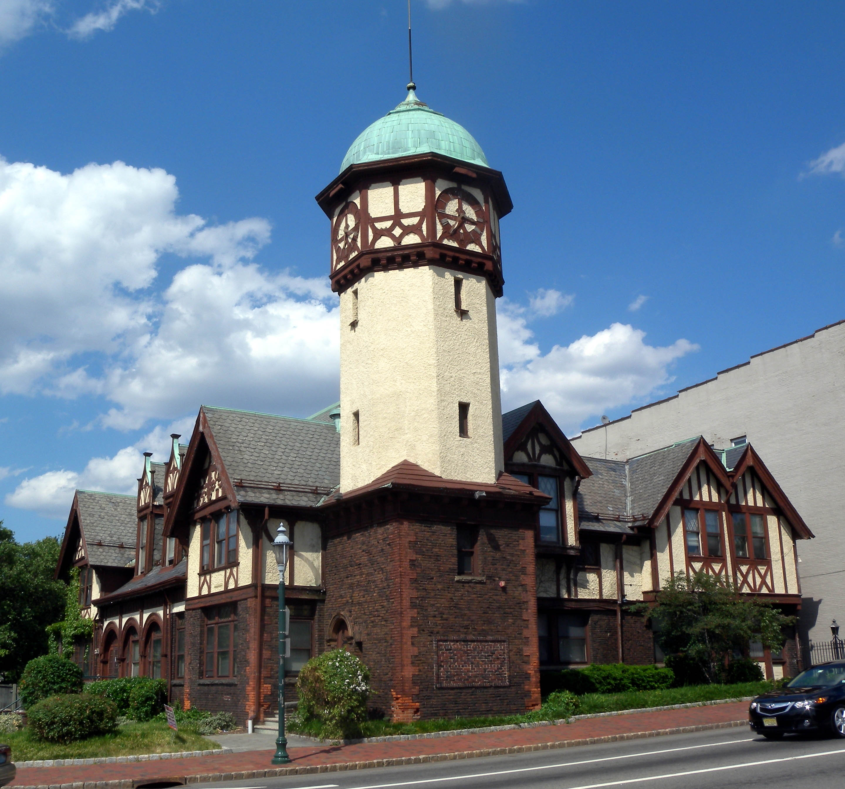
40°50′23″N 74°12′25″W / 40.83972°N 74.20694°WMontclair 130 South Orange Fire Department 
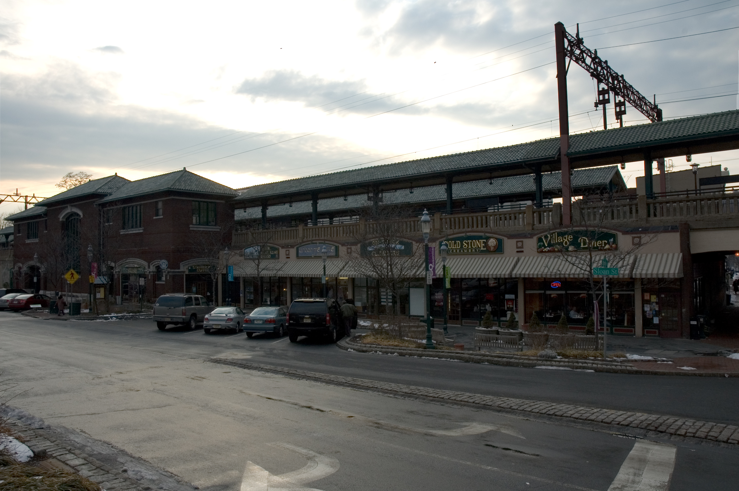
March 19, 1998 Jct. of First and Sloan Sts.
40°44′43″N 74°15′39″W / 40.74528°N 74.26083°WSouth Orange Village 131 South Orange Station 
June 22, 1984 19 Sloan St.
40°44′45″N 74°15′39″W / 40.74583°N 74.26083°WSouth Orange 132 South Orange Village Hall 
May 28, 1976 S. Orange Ave. and Scotland Rd.
40°44′46″N 74°15′30″W / 40.74611°N 74.25833°WSouth Orange 133 South Park Calvary United Presbyterian Church December 5, 1972 1035 Broad St.
40°43′34″N 74°10′31″W / 40.72611°N 74.17528°WNewark 134 St. Barnabas' Episcopal Church October 18, 1972 W. Market St. and Sussex and Roseville Aves.
40°45′4″N 74°11′38″W / 40.75111°N 74.19389°WNewark 135 St. Casimir's Roman Catholic Church July 9, 1997 164 Nichols St.
40°43′24″N 74°9′32″W / 40.72333°N 74.15889°WNewark 136 St. Columba's Church October 30, 1972 Pennsylvania Ave. and Brunswick St.
40°43′28″N 74°10′49″W / 40.72444°N 74.18028°WNewark 137 St. James' A. M. E. Church 
October 18, 1972 High and Court Sts.
40°43′57″N 74°10′52″W / 40.7325°N 74.18111°WNewark 138 St. John's Church 
October 30, 1972 22-26 Mulberry St.
40°44′17″N 74°9′58″W / 40.73806°N 74.16611°WNewark 139 St. Joseph's Roman Catholic Church Rectory and School December 8, 1980 W. Market St.
40°44′35″N 74°11′11″W / 40.74306°N 74.18639°WNewark 140 St. Lucy's Church 
December 31, 1998 19-26 Ruggiero Plaza
40°45′1″N 74°10′36″W / 40.75028°N 74.17667°WNewark 141 St. Luke's Church 
July 1, 1988 69 S. Fullerton Ave.
40°48′36″N 74°13′6″W / 40.81°N 74.21833°WMontclair 142 St. Mark's Episcopal Church September 22, 1977 13 Main St.
40°46′37″N 74°14′21″W / 40.77694°N 74.23917°WWest Orange 143 St. Mary's Abbey Church 
November 3, 1972 High and William Sts.
40°44′9″N 74°17′13″W / 40.73583°N 74.28694°WNewark 144 St. Patrick's Pro Cathedral 
November 3, 1972 Washington St. and Central Ave.
40°44′31″N 74°10′21″W / 40.74194°N 74.1725°WNewark 145 St. Rocco's Roman Catholic Church September 29, 1980 212-216 Hunterdon St.
40°44′15″N 74°11′35″W / 40.7375°N 74.19306°WNewark 146 St. Stephan's Church 
October 5, 1972 Ferry St. and Wilson Ave.
40°43′40″N 74°9′20″W / 40.72778°N 74.15556°WIronbound 147 Stanley Theater 
August 28, 1986 985 S. Orange Ave.
40°44′48″N 74°13′46″W / 40.74667°N 74.22944°WNewark 148 State Street Public School August 3, 1990 15 State St.
40°44′56″N 74°10′18″W / 40.74889°N 74.17167°WNewark 149 Stone Eagles July 1, 1988 60 Undercliff Rd.
40°48′27″N 74°14′02″W / 40.8075°N 74.23389°WMontclair 150 Stone House by the Stone House Brook November 22, 1991 219 S. Orange Ave.
40°44′42″N 74°15′13″W / 40.745°N 74.25361°WSouth Orange 151 Sydenham House 
July 29, 1970 Old Road to Bloomfield, at Heller Pkwy.
40°46′36″N 74°10′21″W / 40.77667°N 74.1725°WNewark 152 Symington House March 2, 1979 2 Park Place
40°44′26″N 74°10′7″W / 40.74056°N 74.16861°WNewark 153 Temple B'Nai Abraham 
April 26, 2007 621 Clinton Ave.
40°43′23″N 74°12′25″W / 40.72306°N 74.20694°WNewark 154 Trinity Cathedral 
November 3, 1972 Broad and Rector Sts.
40°44′25″N 74°10′9″W / 40.74028°N 74.16917°WNewark 155 Upper Montclair Station 
June 22, 1984 275 Bellvue Ave.
40°50′31″N 74°12′35″W / 40.84194°N 74.20972°WUpper Montclair 156 Van Ness House July 29, 1977 236 Little Falls Rd.
40°52′59″N 74°15′35″W / 40.88306°N 74.25972°WFairfield 157 Van Reyper-Bond House January 22, 1979 848 Valley Rd.
40°51′23″N 74°12′0″W / 40.85639°N 74.2°WMontclair 158 Von Schmid House July 1, 1988 580 Park St.
40°51′7″N 74°11′49″W / 40.85194°N 74.19694°WMontclair 159 Vreeland Homestead October 14, 1994 216 Chesnut St.
40°49′9″N 74°10′12″W / 40.81917°N 74.17°WNutley 160 Ward-Force House and Condit Family Cook House December 29, 1981 366 S. Livingston Ave.
40°46′54″N 74°19′0″W / 40.78167°N 74.316667°WLivingston 161 Wars of America 
October 28, 1994 Military Park, 614-706 Broad St.
40°44′53″N 74°10′13″W / 40.74806°N 74.17028°WNewark 162 Watchung Avenue Station 
June 22, 1984 Park St.
40°49′46″N 74°12′25″W / 40.82944°N 74.20694°WMontclair 163 Weequahic Park Historic District February 12, 2003 Roughly bounded by Meeker Ave., Dayton St., the Union County border and Maple Ave.
40°42′6″N 74°12′19″W / 40.70167°N 74.20528°WNewark 164 Wickcliffe Presbyterian Church May 22, 1978 111 13th Ave.
40°44′19″N 74°11′5″W / 40.73861°N 74.18472°WNewark 165 Allyn Wight House July 1, 1988 75 Gates Ave.
40°48′25″N 74°13′8″W / 40.80694°N 74.21889°WMontclair 166 Williams-Harrison House March 13, 1979 126 Eagle Rock Ave.
40°49′14″N 74°17′24″W / 40.82056°N 74.29°WRoseland References
- ^ a b The latitude and longitude information provided in this table was derived originally from the National Register Information System, which has been found to be fairly accurate for about 99% of listings. For about 1% of NRIS original coordinates, experience has shown that one or both coordinates are typos or otherwise extremely far off; some corrections may have been made. A more subtle problem causes many locations to be off by up to 150 yards, depending on location in the country: most NRIS coordinates were derived from tracing out latitude and longitudes off of USGS topographical quadrant maps created under the North American Datum of 1927, which differs from the current, highly accurate WGS84 GPS system used by Google maps. Chicago is about right, but NRIS longitudes in Washington are higher by about 4.5 seconds, and are lower by about 2.0 seconds in Maine. Latitudes differ by about 1.0 second in Florida. Some locations in this table may have been corrected to current GPS standards.
- ^ "National Register of Historic Places: Weekly List Actions". National Park Service, United States Department of the Interior. Retrieved on November 10, 2011.
- ^ Numbers represent an ordering by significant words. Various colorings, defined here, differentiate National Historic Landmark sites, a [[National Historic Site (United States)|]], and several National Register of Historic Places Districts from other NRHP buildings, structures, sites or objects.
- ^ "National Register Information System". National Register of Historic Places. National Park Service. 2008-04-24. http://nrhp.focus.nps.gov/natreg/docs/All_Data.html.
U.S. National Register of Historic Places Topics Lists by states Alabama • Alaska • Arizona • Arkansas • California • Colorado • Connecticut • Delaware • Florida • Georgia • Hawaii • Idaho • Illinois • Indiana • Iowa • Kansas • Kentucky • Louisiana • Maine • Maryland • Massachusetts • Michigan • Minnesota • Mississippi • Missouri • Montana • Nebraska • Nevada • New Hampshire • New Jersey • New Mexico • New York • North Carolina • North Dakota • Ohio • Oklahoma • Oregon • Pennsylvania • Rhode Island • South Carolina • South Dakota • Tennessee • Texas • Utah • Vermont • Virginia • Washington • West Virginia • Wisconsin • WyomingLists by territories Lists by associated states Other  State of New Jersey
Topics Regions - Atlantic Coastal Plain
- Central Jersey
- Delaware River Region
- Delaware Valley
- Gateway Region
- Gold Coast
- Highlands
- Jersey Shore
- Meadowlands
- New York metro area
- North Hudson
- North Jersey
- Pascack Valley
- Piedmont
- Pine Barrens
- Raritan Bayshore
- Ridge-and-Valley Appalachians
- Southern Shore Region
- Skylands Region
- South Jersey
- Tri‑State Region
- West Hudson
Counties Major cities Categories:- National Register of Historic Places in New Jersey
- Essex County, New Jersey
- History of Newark, New Jersey
- Visitor attractions in Essex County, New Jersey
-


Wikimedia Foundation. 2010.