- National Register of Historic Places listings in Union County, New Jersey
-
List of the National Register of Historic Places listings in Union County, New Jersey
Contents: Counties in New Jersey Atlantic - Bergen - Burlington - Camden - Cape May - Cumberland - Essex - Gloucester - Hudson - Hunterdon - Mercer - Middlesex - Monmouth - Morris - Ocean - Passaic - Salem - Somerset - Sussex - Union - Warren This is intended to be a complete list of properties and districts listed on the National Register of Historic Places in Union County, New Jersey. The locations of National Register properties and districts (at least for all showing latitude and longitude coordinates below) may be seen in a Google map by clicking on "Map of all coordinates".[1]
-
- This National Park Service list is complete through NPS recent listings posted November 10, 2011.[2]
[3] Site name[4] Image Date listed Location[1] City or Town Summary 1 All Souls Church December 11, 2009 724 Park Ave.
40°36′51.3″N 74°24′58.06″W / 40.61425°N 74.4161278°WPlainfield New listing; refnum 09001078 2 Badgley House and Site September 27, 1976 N of Mountainside off New Providence Rd., Watchung Reservation
40°40′59″N 74°22′37″W / 40.68306°N 74.37694°WMountainside 3 Baltusrol Golf Club 
May 6, 2005 201 Shunpike rd.
40°42′0″N 74°20′6″W / 40.7°N 74.335°WSpringfield 4 Belcher-Ogden Mansion-Price, Benjamin-Price-Brittan Houses District 
August 28, 1986 Corner of E. Jersey and Catherine Sts.
40°39′48″N 74°12′32″W / 40.66333°N 74.20889°WElizabeth 5 Belcher-Ogden House 
November 2, 1978 1046 E. Jersey St.
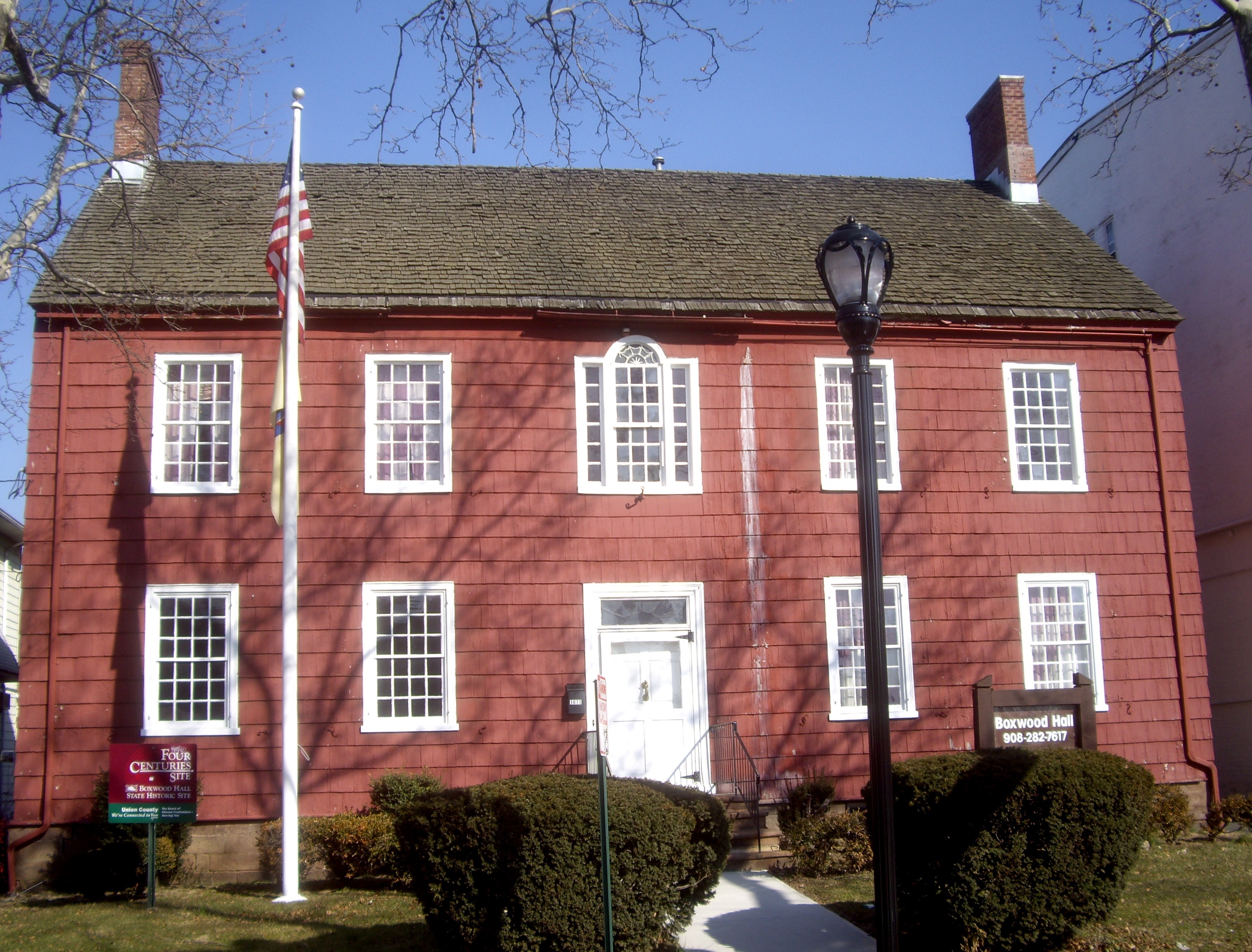
40°39′47″N 74°12′34″W / 40.66306°N 74.20944°WElizabeth 6 Boxwood Hall 
December 18, 1970 1073 E. Jersey St.
40°39′49″N 74°12′37″W / 40.66361°N 74.21028°WElizabeth 7 Burial Ground of the Presbyterian Church in the West Fields of Elizabethtown October 25, 2007 W. side of Mountain Ave. N. of Drift Way opposite 140 Mountain Ave.
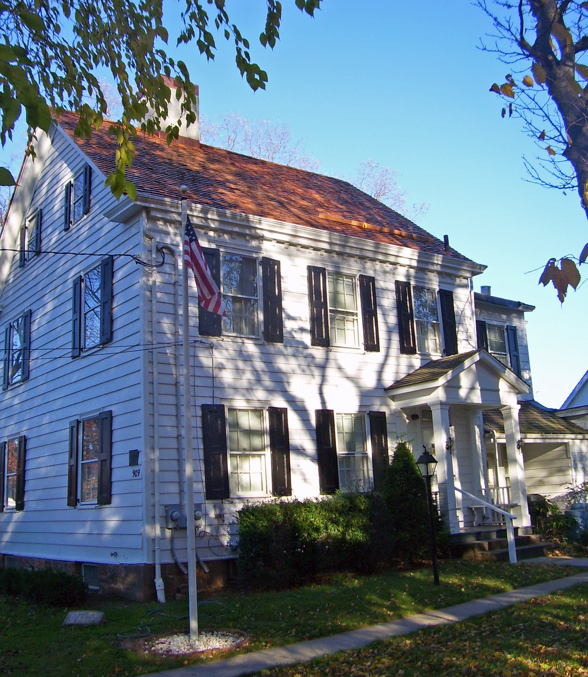
40°39′12″N 74°20′57″W / 40.65333°N 74.34917°WWestfield 8 Caldwell Parsonage 
August 12, 1982 909 Caldwell Ave.
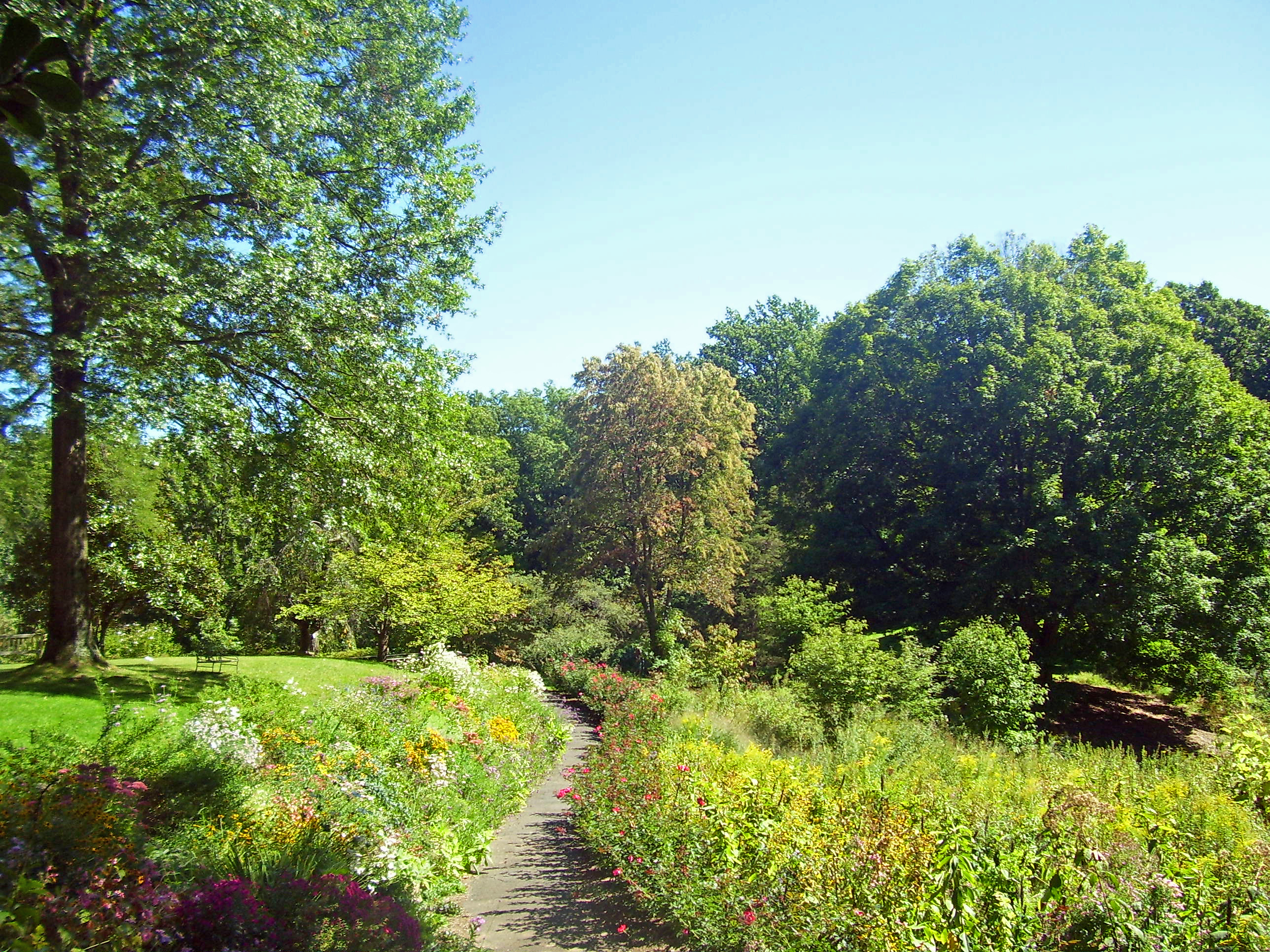
40°41′42″N 74°16′43″W / 40.695°N 74.27861°WUnion 9 Cedar Brook Park August 28, 2007 Roughly bounded Stelle Ave., Arlington Ave., Park Ave., Rose St. and Laramie Rd., Kenyon Ave., Parkside Rd.
40°36′16.57″N 74°24′31.13″W / 40.6046028°N 74.4086472°WPlainfield 10 Central Railroad of New Jersey 
July 17, 1980 238 North Ave.
40°38′46″N 74°21′43″W / 40.64611°N 74.36194°WFanwood 11 Crane-Phillips House August 14, 1997 125 N. Union Ave.
40°39′27″N 74°17′26″W / 40.6575°N 74.29056°WCranford 12 Crescent Area Historic District December 12, 1980 Roughly bounded by Park, Prospect, and Carnegie Aves., 7th and Richmond Sts.
40°36′59″N 74°24′49″W / 40.61639°N 74.41361°WPlainfield 13 John De Camp House December 4, 1973 2101 Raritan Rd.
40°37′38″N 74°20′27″W / 40.62722°N 74.34083°WScotch Plains 14 Nathaniel Drake House June 19, 1973 602 W. Front St.
40°36′49″N 74°25′56″W / 40.61361°N 74.43222°WPlainfield 15 Droeschers Mill January 8, 1974 347 Lincoln Ave. E.
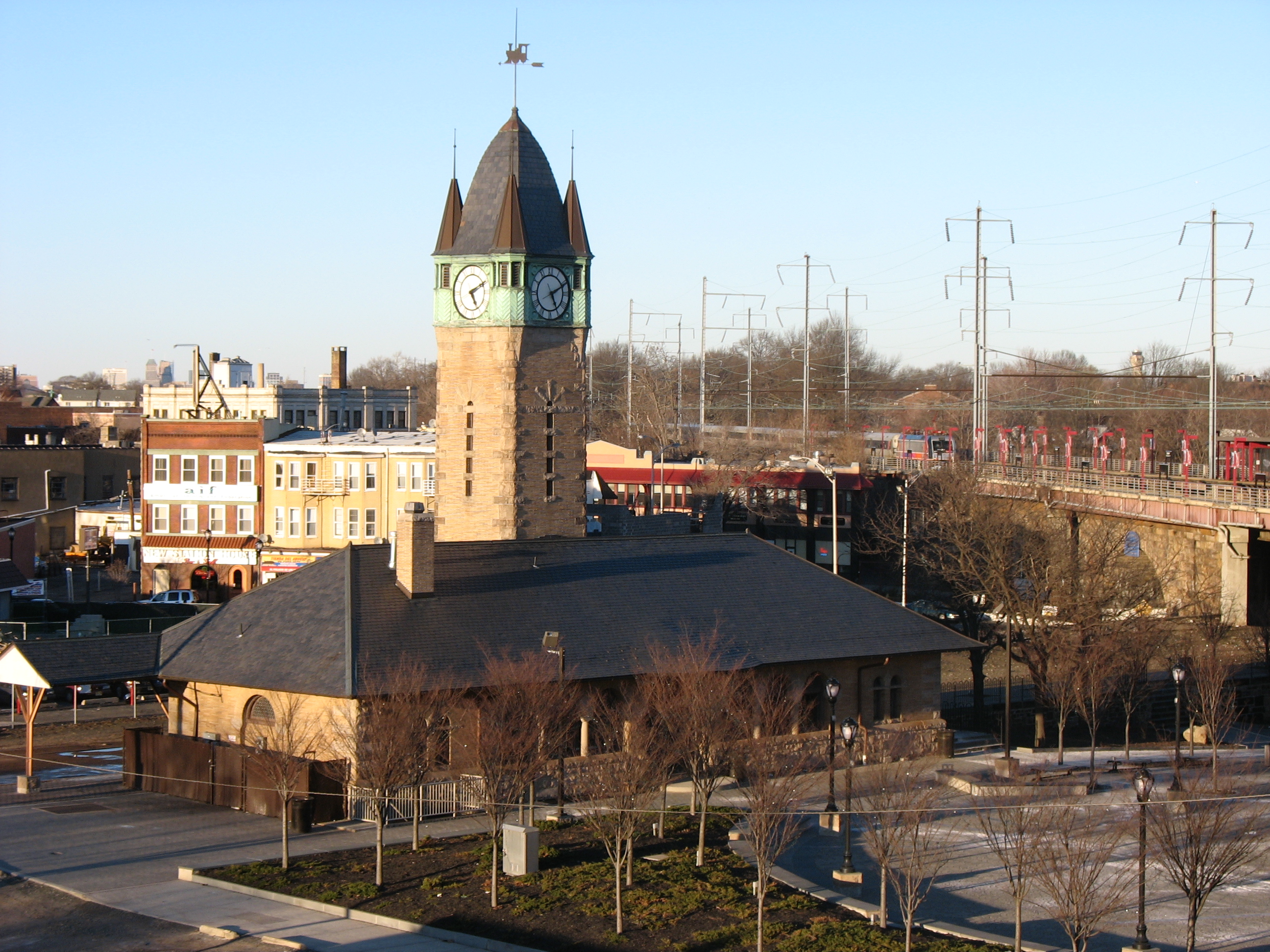
40°39′1″N 74°18′6″W / 40.65028°N 74.30167°WCranford 16 Elizabeth Station 
September 29, 1984 Morris Ave., and Broad St.
40°40′1″N 74°13′1″W / 40.66694°N 74.21694°WElizabeth 17 Evergreen Cemetery July 9, 1991 1137 N. Broad St.
40°41′32″N 74°12′39″W / 40.69222°N 74.21083°WHillside and Elizabeth 18 Fanwood Park Historic District May 27, 2004 North Ave. and North Martine Ave.
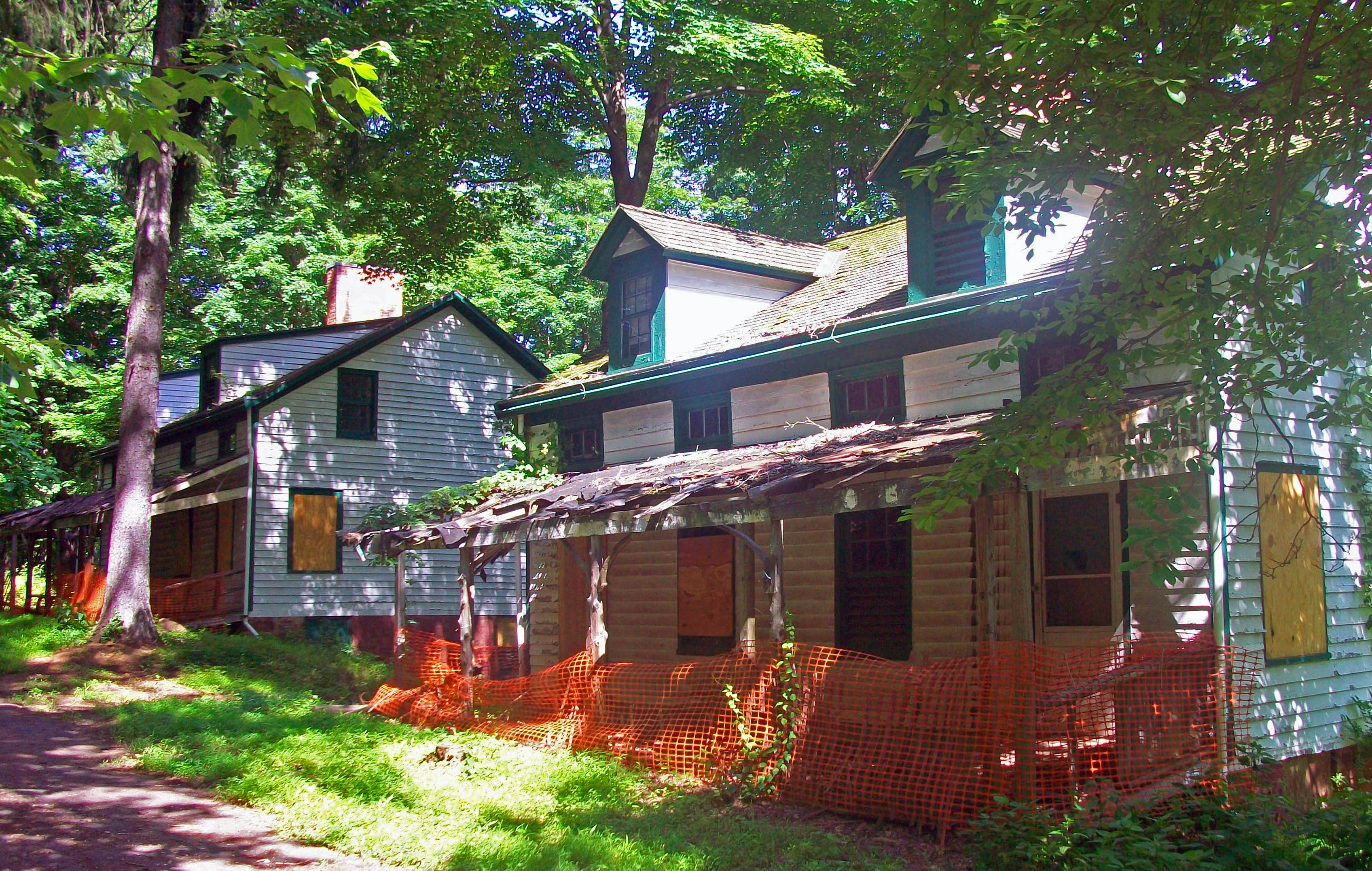
40°38′39″N 74°23′21″W / 40.64417°N 74.38917°WFanwood 19 Feltville Historic District 
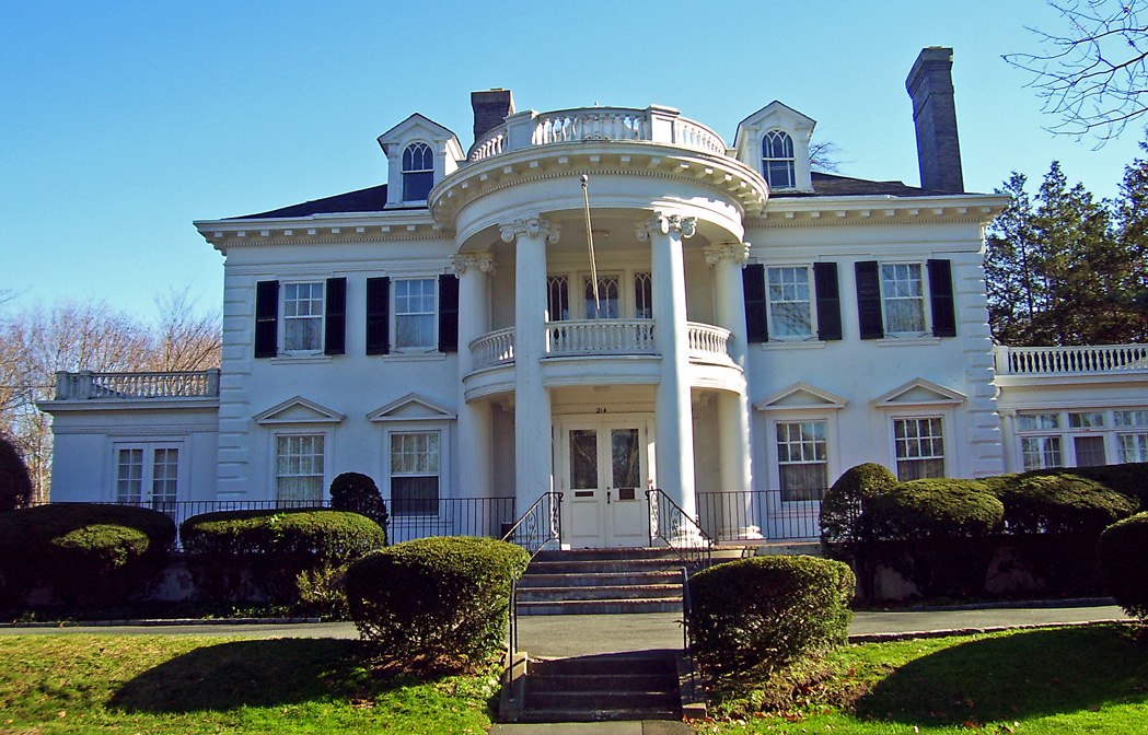
June 6, 1980 S of New Providence
40°40′53″N 74°23′16″W / 40.68139°N 74.38778°WNew Providence 20 Firehouse No. 4 March 11, 1993 1015 South Ave.
40°37′42″N 74°24′14″W / 40.62833°N 74.40389°WPlainfield 21 Elizabeth and Gershom Frazee House December 7, 2009 1451 Raritan Road
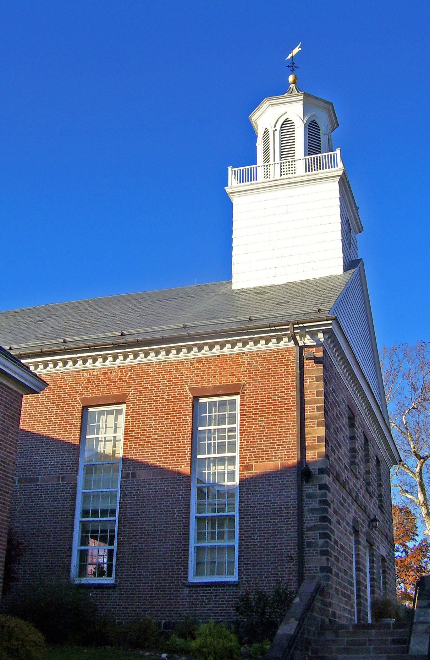
40°37′0.12″N 74°22′1.56″W / 40.6167°N 74.3671°WScotch Plains New listing; refnum 09000971 22 First Congregation of the Presbyterian Church at Springfield 
May 7, 1990 201 Morris Ave. and 11-41 Church Mall
40°42′41″N 74°18′39″W / 40.71139°N 74.31083°WSpringfield 23 First Presbyterian Church of Elizabeth 
May 6, 1977 14-44 Broad St.
40°39′45″N 74°12′56″W / 40.6625°N 74.21556°WElizabeth 24 First Presbyterian Congregation of Connecticut Farms 
April 3, 1970 Stuyvesant Ave. at Chestnut St.
40°41′36″N 74°16′26″W / 40.69333°N 74.27389°WUnion 25 Charles N. Fowler House March 13, 1986 518 Salem Ave.
40°40′35″N 74°12′53″W / 40.67639°N 74.21472°WElizabeth 26 Grace Episcopal Church May 10, 2002 600 Cleveland Ave.
40°37′5″N 74°25′2″W / 40.61806°N 74.41722°WPlainfield 27 Green Brook Park May 14, 2004 All parkland from Clinton Ave. to W of West End Ave., and Jct of Lawrence and Parkview Ave., Fisk and Townsend Pls.
40°36′38″N 74°26′39″W / 40.61056°N 74.44417°WPlainfield 28 Deacon Andrew Hetfield House July 27, 1989 Constitution Plaza
40°40′19″N 74°21′29″W / 40.67194°N 74.35806°WMountainside 29 Hillside Avenue Historic District June 1, 1982 Hillside Ave. from Watchung Ave. to Martine Ave.
40°36′55″N 74°24′18″W / 40.61528°N 74.405°WPlainfield 30 Homestead Farm at Oak Ridge October 25, 1995 Jct. of Oak Ridge Rd. and Feather Bed Ln., Clark and Edison Townships
40°36′28″N 74°20′56″W / 40.60778°N 74.34889°WClark 31 Hutchings Homestead 
September 16, 1977 126 Morris Ave.
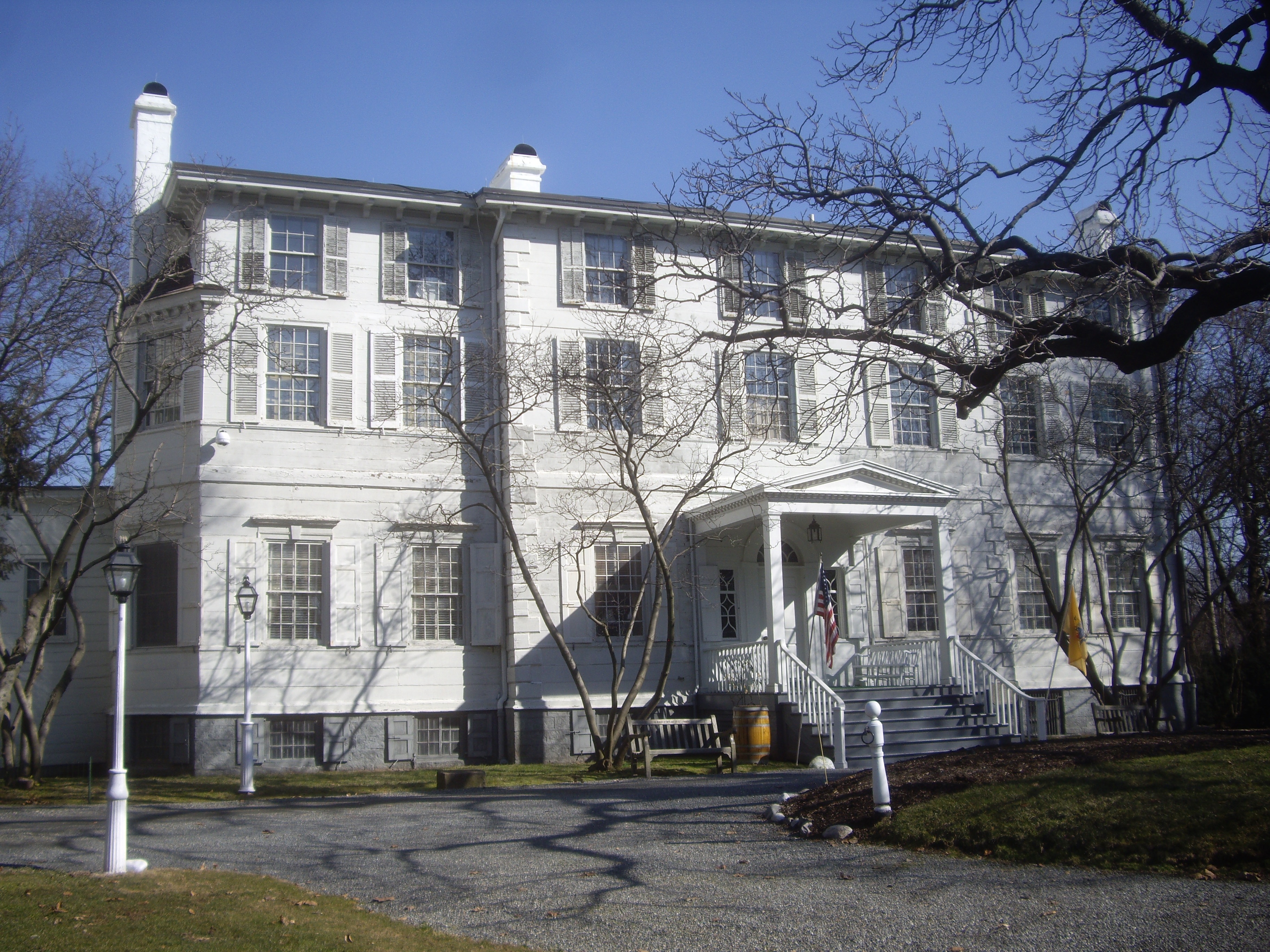
40°42′37″N 74°18′26″W / 40.71028°N 74.30722°WSpringfield 32 Liberty Hall (Gov. William Livingston House) 
November 28, 1972 Morris and North Aves.
40°40′40″N 74°13′41″W / 40.67778°N 74.22806°WUnion 33 Littel-Lord Farmstead March 7, 1979 23 and 31 Horseshoe Rd.
40°40′5″N 74°25′41″W / 40.66806°N 74.42806°WBerkeley Heights 34 Merchants' and Drovers' Tavern 
November 21, 1978 1632 St. Georges Ave.
40°36′59″N 74°17′9″W / 40.61639°N 74.28583°WRahway 35 Mid-Town Historic District 
October 5, 1995 Bounded by Broad, N. Broad, Dickinson, E. Grand, E. Jersey Sts., Commerce Place, Elizabeth Ave. and Martin L. King Plaza
40°39′56″N 74°12′52″W / 40.66556°N 74.21444°WElizabeth image shows Elizabeth Public Library and Union County Courthouse 36 Miller-Cory House November 3, 1972 614 Mountain Ave.
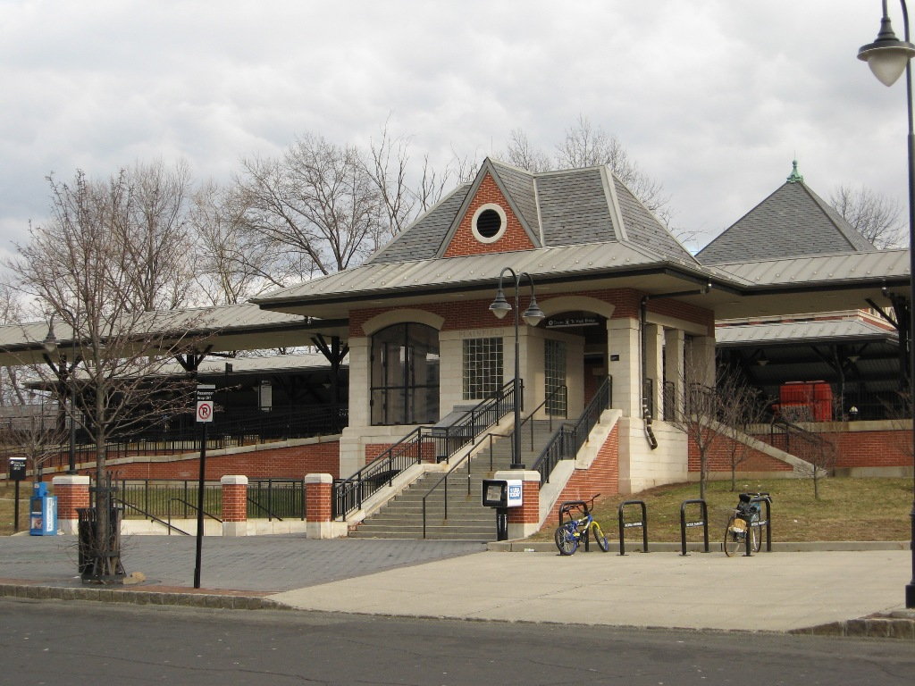
40°39′45″N 74°21′2″W / 40.6625°N 74.35056°WWestfield 37 Murray Hill Station 
June 22, 1984 The Circle
40°41′41″N 74°24′13″W / 40.69472°N 74.40361°WMurray Hill 38 Netherwood Station 
June 22, 1984 Between North and South Aves.
40°37′45″N 74°24′13″W / 40.62917°N 74.40361°WPlainfield 39 Oswald J. Nitschke House January 17, 2008 49 S. 21 St.
40°40′36″N 74°17′28″W / 40.67667°N 74.29111°WKenilworth 40 North Avenue Commercial District March 29, 1984 Park, North, and Watchung Aves.
40°37′7″N 74°25′17″W / 40.61861°N 74.42139°WPlainfield 41 North Avenue Commercial Historic District March 29, 1984 Park, North, and Watchung Aves.
40°37′7″N 74°25′17″W / 40.61861°N 74.42139°WPlainfield 42 Old Baptist Parsonage January 18, 1973 547 Park Ave.
40°39′6″N 74°23′59″W / 40.65167°N 74.39972°WScotch Plains 43 Plainfield Central Fire Headquarters March 4, 1993 315 Central Ave.
40°36′54″N 74°25′26″W / 40.615°N 74.42389°WPlainfield 44 Plainfield Civic District June 17, 1993 Roughly, Watchung Ave. between E. Fifth and E. Seventh Sts.
40°37′3″N 74°25′3″W / 40.6175°N 74.4175°WPlainfield 45 Plainfield Station 
June 22, 1984 North Ave.
40°37′6″N 74°25′15″W / 40.61833°N 74.42083°WPlainfield 46 Rahway Theatre August 13, 1986 1601 Irving St.
40°36′37″N 74°16′39″W / 40.61028°N 74.2775°WRahway 47 William Edgar Reeve House February 1, 2006 314 Mountain Ave.
40°39′34″N 74°20′58″W / 40.65944°N 74.34944°WWestfield 48 Saint Mary's Catholic Church Complex April 11, 1985 Liberty and W. 6th Sts.
40°36′39″N 74°25′26″W / 40.61083°N 74.42389°WPlainfield 49 Sayre Homestead August 24, 1979 Sayre Homestead Lane
40°42′13″N 74°20′50″W / 40.70361°N 74.34722°WSpringfield 50 Scotch Plains School December 12, 1978 Park Ave.
40°38′58″N 74°23′47″W / 40.64944°N 74.39639°WScotch Plains 51 Seventeenth Century Clark House 
November 19, 1974 593 Madison Hill Rd.
40°36′49″N 74°18′36″W / 40.61361°N 74.31°WClark 52 Nathaniel Smith House September 28, 1989 105 Springfield Ave.
40°41′33″N 74°25′47″W / 40.6925°N 74.42972°WBerkeley Heights 53 St. John's Parsonage September 16, 1982 633 Pearl St.
40°39′37″N 74°12′45″W / 40.66028°N 74.2125°WElizabeth 54 Stage House Inn April 15, 1982 Park Ave. and Front St.
40°39′3″N 74°23′59″W / 40.65083°N 74.39972°WScotch Plains 55 Stoneleigh Park Historic District October 28, 1988 Roughly bounded by Westfield Ave., Shackamaxon Dr., Rahway and Dorian Rd.
40°38′34″N 74°20′49″W / 40.64278°N 74.34694°WWestfield 56 Summit Downtown Historic District 
June 30, 2011 Roughly bounded by Springfield Ave, the Village Green, Summit Ave, and Waldron Ave.
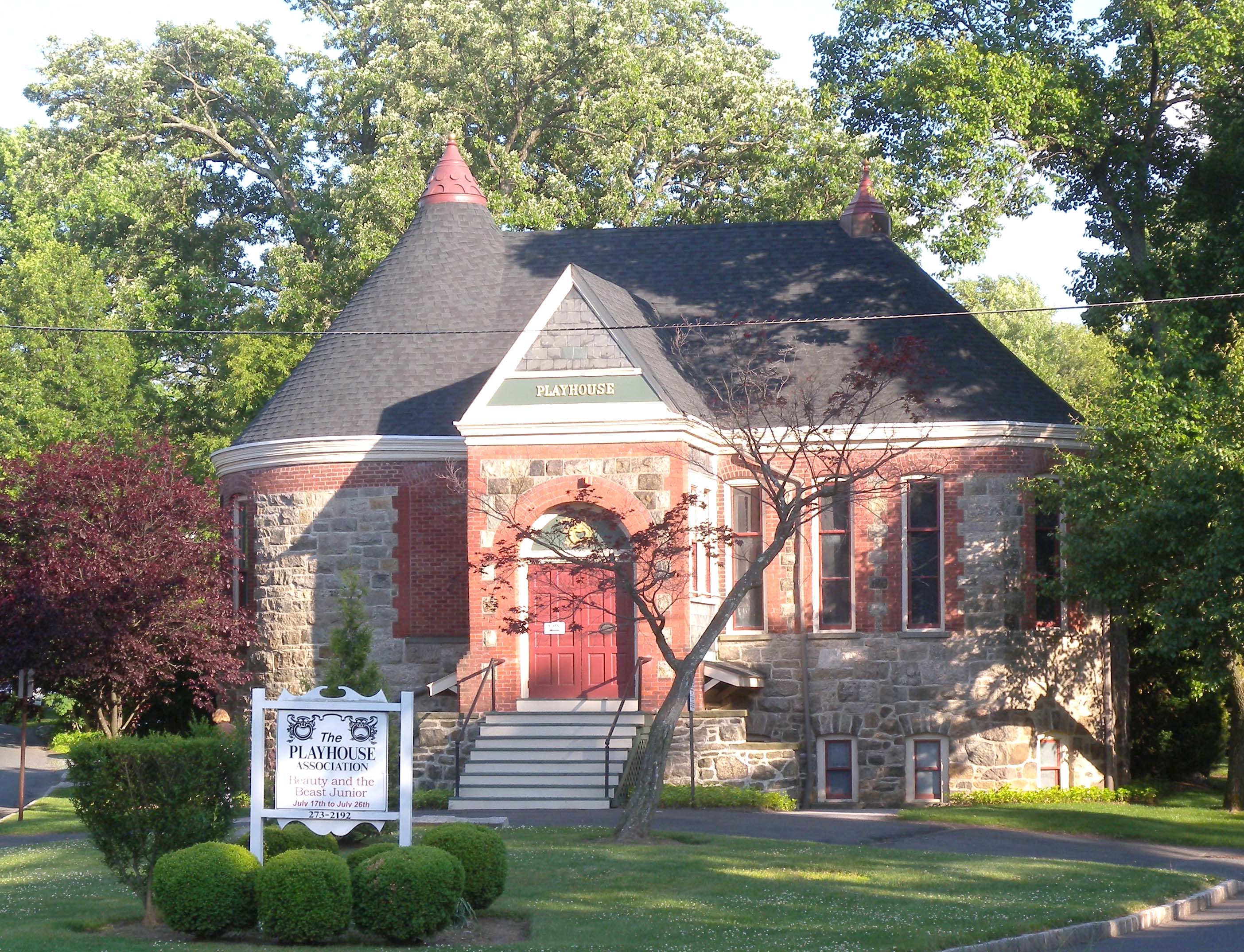
40°43′4″N 74°21′27″W / 40.71778°N 74.3575°WSummit Civic and commercial core of early railroad suburb 57 Summit Playhouse 
December 30, 2009 10 New England Ave.
40°42′54.36″N 74°21′55.08″W / 40.7151°N 74.3653°WSummit 58 The Clearing 
April 9, 1993 165 Hobart Ave.
40°43′36″N 74°20′53″W / 40.72667°N 74.34806°WSummit Now known as Reeves-Reed Arboretum 59 James Townley House May 14, 1979 Morris Ave. and Green Lane
40°40′54″N 74°14′7″W / 40.68167°N 74.23528°WUnion 60 Twin Maples 
August 29, 1997 8 Edgewood Rd.
40°43′2″N 74°21′0″W / 40.71722°N 74.35°WSummit 61 Union County Park Commission Administration Buildings November 25, 1985 Acme and Canton Sts.
40°39′31″N 74°14′17″W / 40.65861°N 74.23806°WElizabeth 62 Van Wyck Brooks Historic District December 10, 1985 Roughly bounded by Plainfield Ave., W. Eighth St., Park Ave., W. Ninth St. and Madison Ave., and Randolph Rd.
40°36′35″N 74°25′6″W / 40.60972°N 74.41833°WPlainfield 63 Wallace Chapel AME Zion Church 
August 28, 2007 138-142 Broad St.
40°42′49″N 74°20′38″W / 40.71361°N 74.34389°WSummit 64 Waring T. Orville House May 14, 1979 900 Park Ave.
40°36′46″N 74°24′53″W / 40.61278°N 74.41472°WPlainfield 65 Westfield Fire Headquarters December 8, 1980 405 North Ave., W.
40°39′0″N 74°20′56″W / 40.65°N 74.34889°WWestfield 66 Whyman House April 10, 1986 705 Newark Ave.
40°40′49″N 74°12′29″W / 40.68028°N 74.20806°WElizabeth 67 Woodruff House December 11, 1978 111-113 Conant St.
40°41′14″N 74°13′12″W / 40.68722°N 74.22°WHillside 68 Young Women's Christian Association of Plainfield and North Plainfield March 12, 1998 232 W. Front St.
40°37′15″N 74°25′16″W / 40.62083°N 74.42111°WPlainfield References
- ^ a b The latitude and longitude information provided in this table was derived originally from the National Register Information System, which has been found to be fairly accurate for about 99% of listings. For about 1% of NRIS original coordinates, experience has shown that one or both coordinates are typos or otherwise extremely far off; some corrections may have been made. A more subtle problem causes many locations to be off by up to 150 yards, depending on location in the country: most NRIS coordinates were derived from tracing out latitude and longitudes off of USGS topographical quadrant maps created under the North American Datum of 1927, which differs from the current, highly accurate WGS84 GPS system used by Google maps. Chicago is about right, but NRIS longitudes in Washington are higher by about 4.5 seconds, and are lower by about 2.0 seconds in Maine. Latitudes differ by about 1.0 second in Florida. Some locations in this table may have been corrected to current GPS standards.
- ^ "National Register of Historic Places: Weekly List Actions". National Park Service, United States Department of the Interior. Retrieved on November 10, 2011.
- ^ Numbers represent an ordering by significant words. Various colorings, defined here, differentiate National Historic Landmark sites, a [[National Historic Site (United States)|]], and several National Register of Historic Places Districts from other NRHP buildings, structures, sites or objects.
- ^ "National Register Information System". National Register of Historic Places. National Park Service. 2008-04-24. http://nrhp.focus.nps.gov/natreg/docs/All_Data.html.
U.S. National Register of Historic Places Topics Lists by states Alabama • Alaska • Arizona • Arkansas • California • Colorado • Connecticut • Delaware • Florida • Georgia • Hawaii • Idaho • Illinois • Indiana • Iowa • Kansas • Kentucky • Louisiana • Maine • Maryland • Massachusetts • Michigan • Minnesota • Mississippi • Missouri • Montana • Nebraska • Nevada • New Hampshire • New Jersey • New Mexico • New York • North Carolina • North Dakota • Ohio • Oklahoma • Oregon • Pennsylvania • Rhode Island • South Carolina • South Dakota • Tennessee • Texas • Utah • Vermont • Virginia • Washington • West Virginia • Wisconsin • WyomingLists by territories Lists by associated states Other  State of New Jersey
Topics Regions - Atlantic Coastal Plain
- Central Jersey
- Delaware River Region
- Delaware Valley
- Gateway Region
- Gold Coast
- Highlands
- Jersey Shore
- Meadowlands
- New York metro area
- North Hudson
- North Jersey
- Pascack Valley
- Piedmont
- Pine Barrens
- Raritan Bayshore
- Ridge-and-Valley Appalachians
- Southern Shore Region
- Skylands Region
- South Jersey
- Tri‑State Region
- West Hudson
Counties Major cities Categories:- National Register of Historic Places in New Jersey
- Union County, New Jersey
-


Wikimedia Foundation. 2010.