- National Register of Historic Places listings in Camden County, New Jersey
-
List of the National Register of Historic Places listings in Camden County, New Jersey
Contents: Counties in New Jersey Atlantic - Bergen - Burlington - Camden - Cape May - Cumberland - Essex - Gloucester - Hudson - Hunterdon - Mercer - Middlesex - Monmouth - Morris - Ocean - Passaic - Salem - Somerset - Sussex - Union - Warren This is intended to be a complete list of properties and districts listed on the National Register of Historic Places in Camden County, New Jersey. The locations of National Register properties and districts (at least for all showing latitude and longitude coordinates below) may be seen in a Google map by clicking on "Map of all coordinates".[1]
-
- This National Park Service list is complete through NPS recent listings posted November 10, 2011.[2]
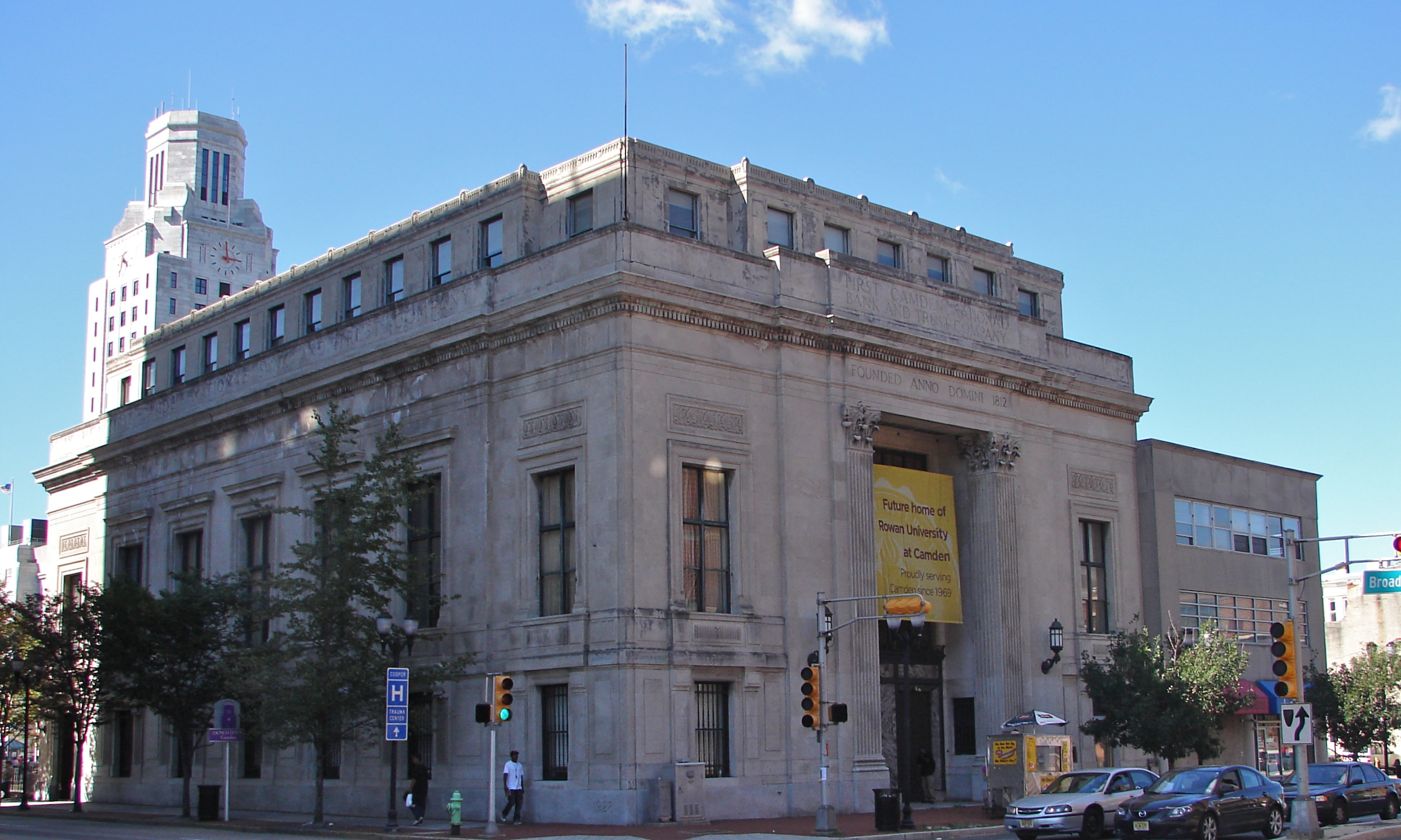
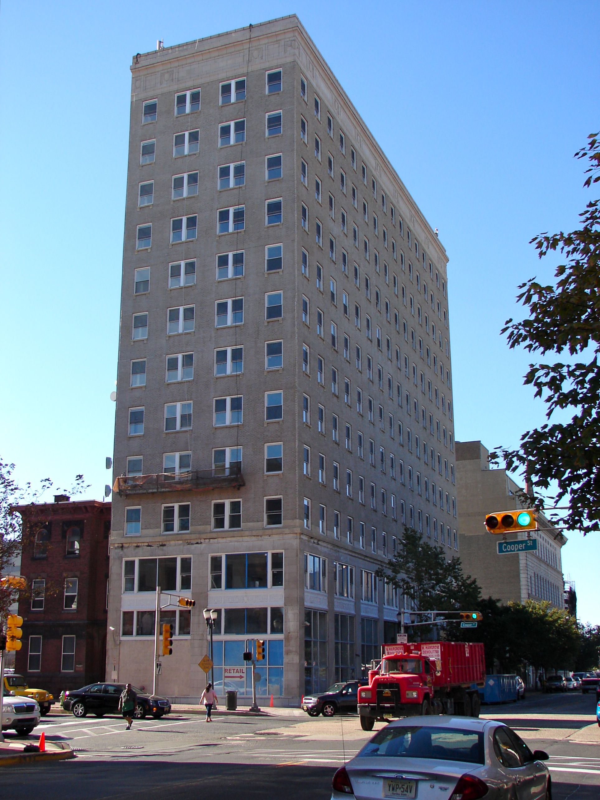
[3] Site name[4] Image Date listed Location[1] City or Town Summary 1 American National Bank August 22, 1990 1219 Broadway
39°55′49″N 75°7′12″W / 39.93028°N 75.12°WCamden 2 Barclay Farm House January 26, 1978 NE of Haddonfield near jct. of I-295 and NJ 70
39°54′10″N 74°59′46″W / 39.90278°N 74.99611°WCherry Hill 3 Barnegat (lightship) November 29, 1979 North 7th Street
39°57′21″N 75°6′46″W / 39.95583°N 75.11278°WCamden LV 79 / WAL 506; Was in Philadelphia 4 Volney G. Bennett Lumber Company August 5, 1993 138 Division St. and 845 S. Second St.
39°56′5″N 75°7′43″W / 39.93472°N 75.12861°WCamden 5 Berlin Historic District April 14, 1995 Roughly, along Washington, E. Taunton and Haines Aves. and parts of S. White Horse Pike, Jackson Rd. and Jefferson Ave.
39°47′34″N 74°55′43″W / 39.79278°N 74.92861°WBerlin 6 Blackwood Historic District July 27, 1989 Roughly Church St. from E. Railroad Ave. to Indiana Ave., Blackhorse Pike, and Central Ave.
39°48′2″N 75°3′11″W / 39.80056°N 75.05306°WBlackwood 7 Bonnie's Bridge September 13, 1984 350 Wayland Rd.
39°54′39″N 75°0′18″W / 39.91083°N 75.005°WCherry Hill 8 Broadway Trust Company August 24, 1990 938-944 Broadway
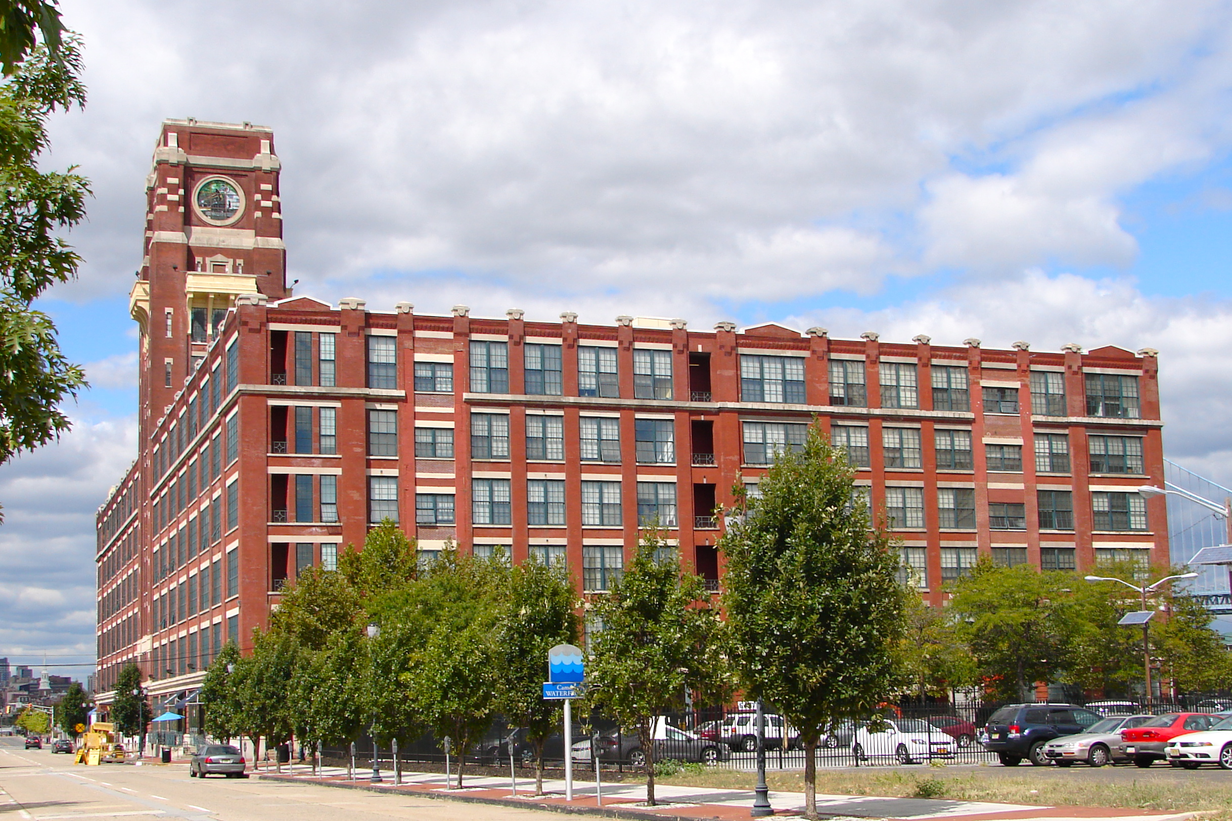
39°56′2″N 75°7′11″W / 39.93389°N 75.11972°WCamden 9 Building 17, RCA Victor Company, Camden Plant 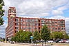
October 4, 2002 1 Market St.
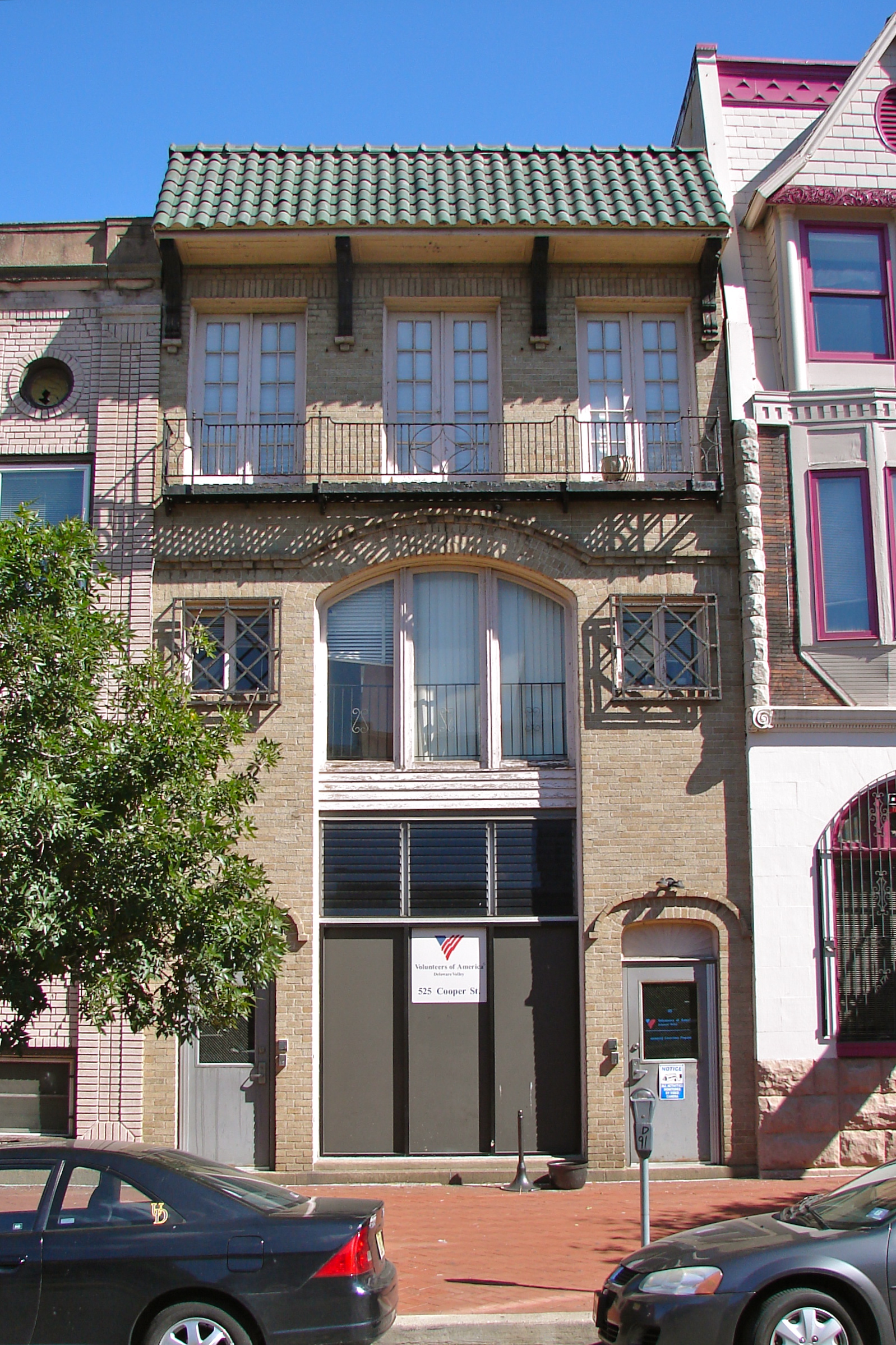
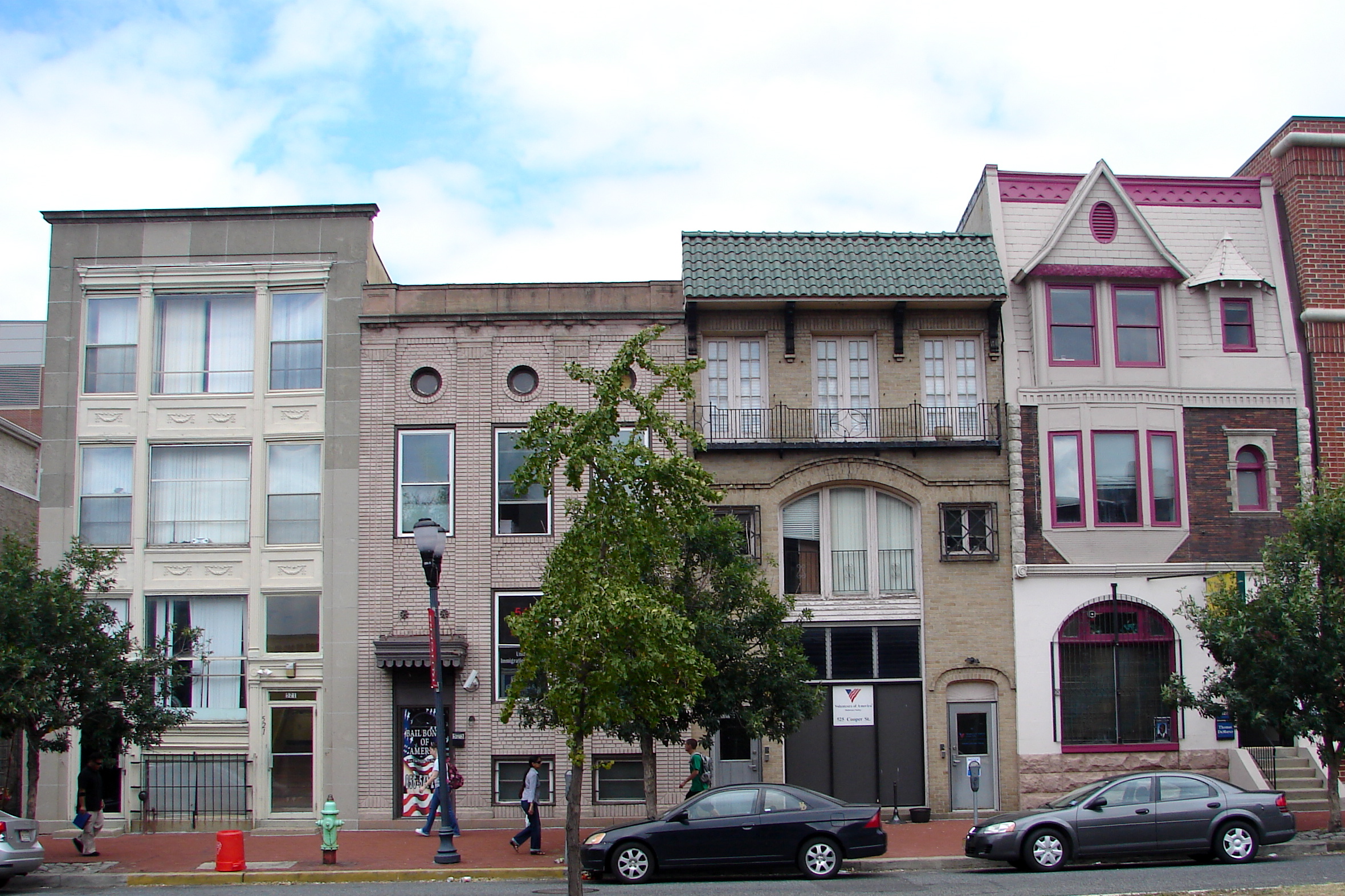
39°56′51″N 75°7′38″W / 39.9475°N 75.12722°WCamden 10 Building at 525 Cooper Street 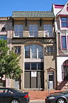
August 24, 1990 525 Cooper St.
39°56′48″N 75°7′14″W / 39.94667°N 75.12056°WCamden 11 Burrough-Dover House October 25, 1973 9201 Burrough-Dover Lane (off Haddonfield Rd.)
39°58′24″N 75°1′5″W / 39.97333°N 75.01806°WPennsauken Township 12 Camden Fire Insurance Association 
August 22, 1990 428-432 Federal St.
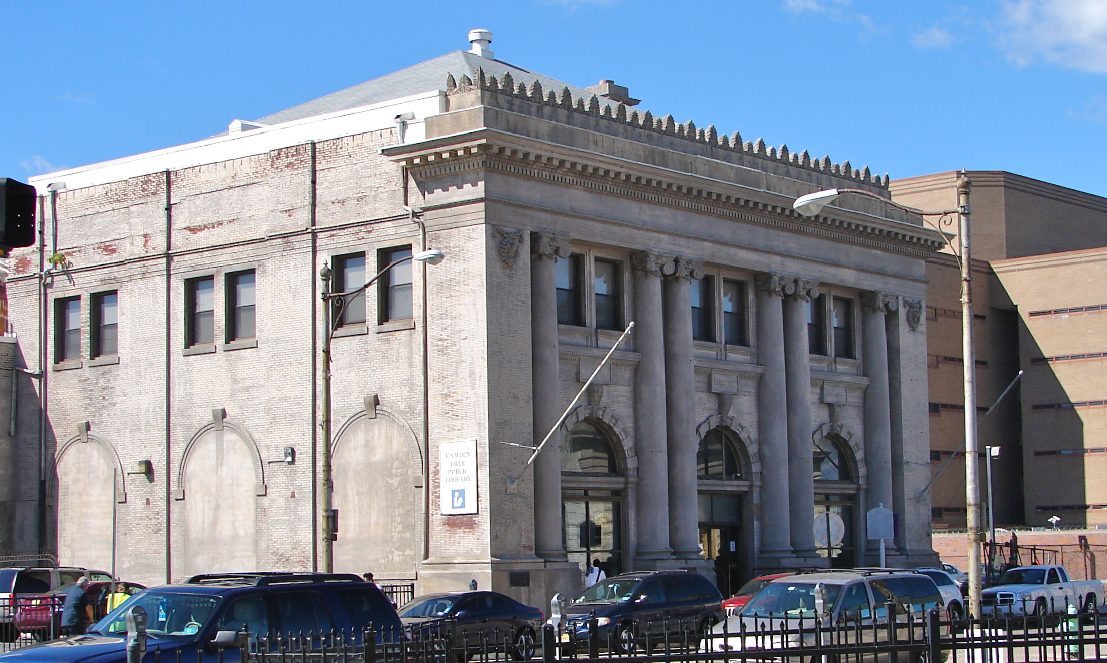
39°56′38″N 75°7′20″W / 39.94389°N 75.12222°WCamden Demolished.[5] 13 Camden Free Public Library Main Building October 15, 1992 616 Broadway
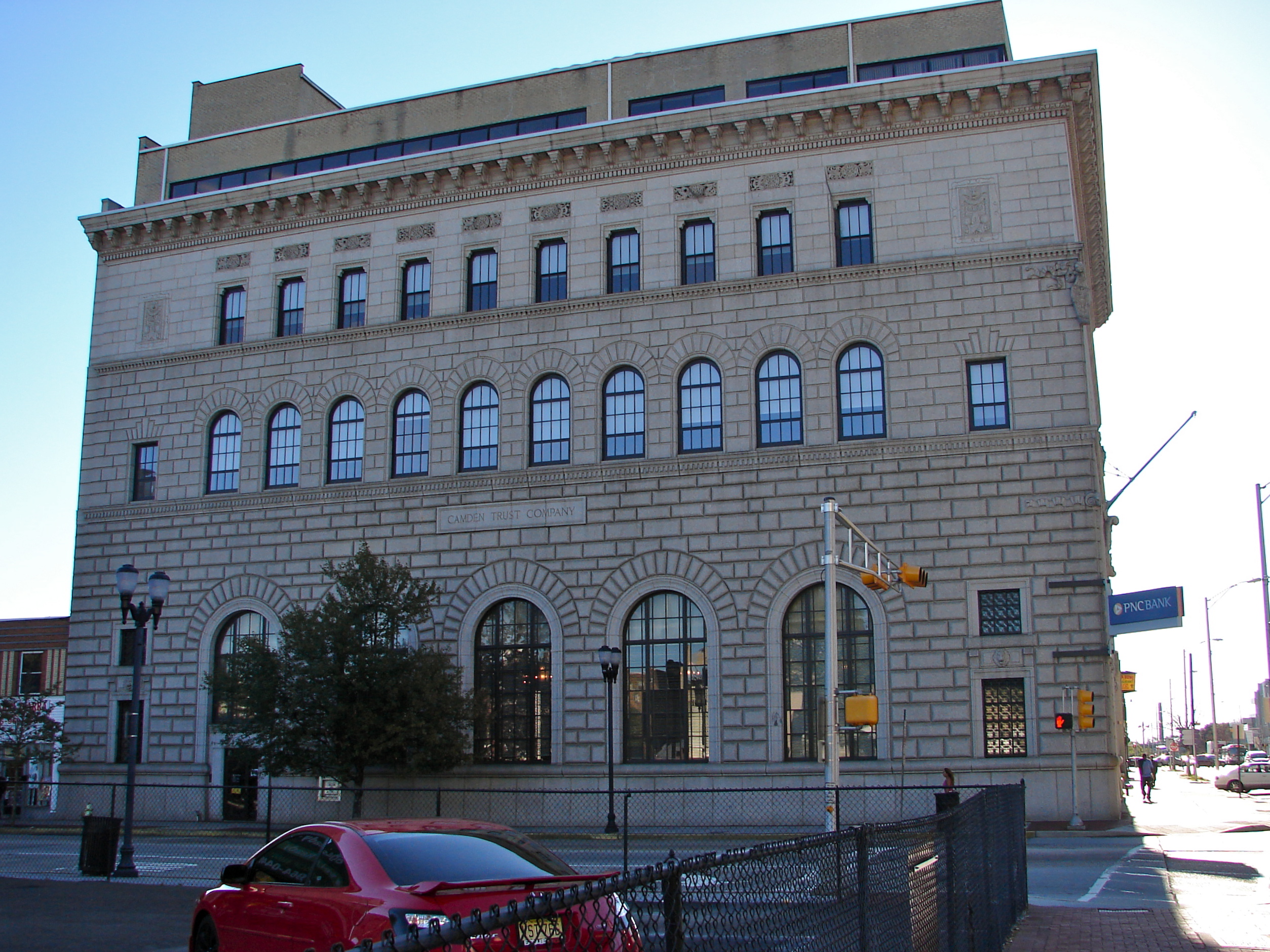
39°56′14″N 75°7′6″W / 39.93722°N 75.11833°WCamden 14 Camden Safe Deposit & Trust Company 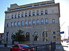
August 22, 1990 Market St. and Broadway
39°56′43″N 75°7′9″W / 39.94528°N 75.11917°WCamden 15 Cattell Tract Historic District September 8, 1994 Roughly bounded by N. Chestnut Ave., Cove Rd., Rogers and Leslie Aves.
39°57′16″N 75°2′57″W / 39.95444°N 75.04917°WMerchantville 16 Centennial House May 30, 1991 17-19 E. Chestnut Ave.
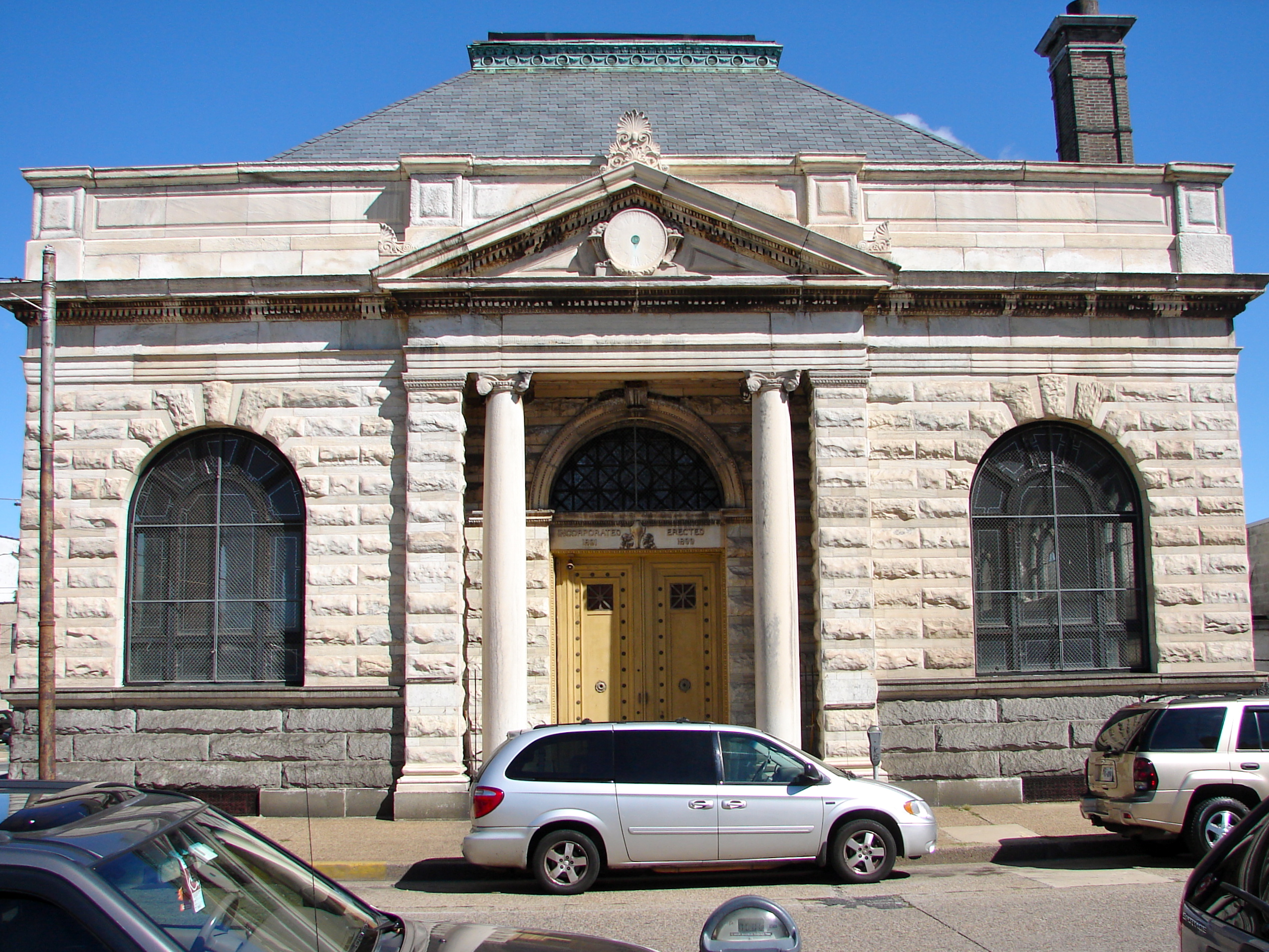
39°57′10″N 75°2′56″W / 39.95278°N 75.04889°WMerchantville 17 Central Trust Company 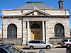
January 5, 2005 401 Federal St.
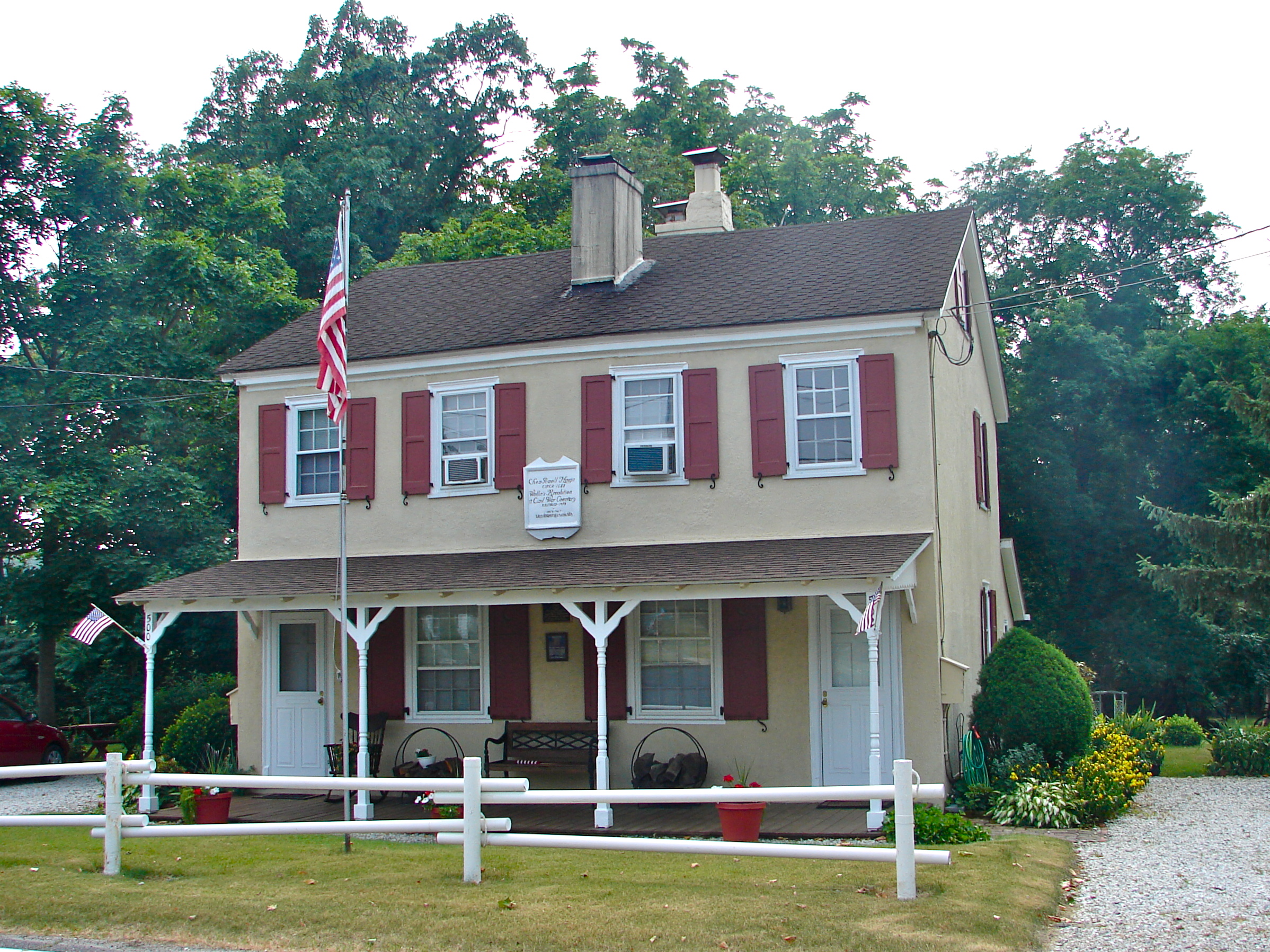
39°56′39″N 75°7′24″W / 39.94417°N 75.12333°WCamden 18 Chew-Powell House 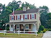
March 27, 1975 500-502 Good Intent Rd.
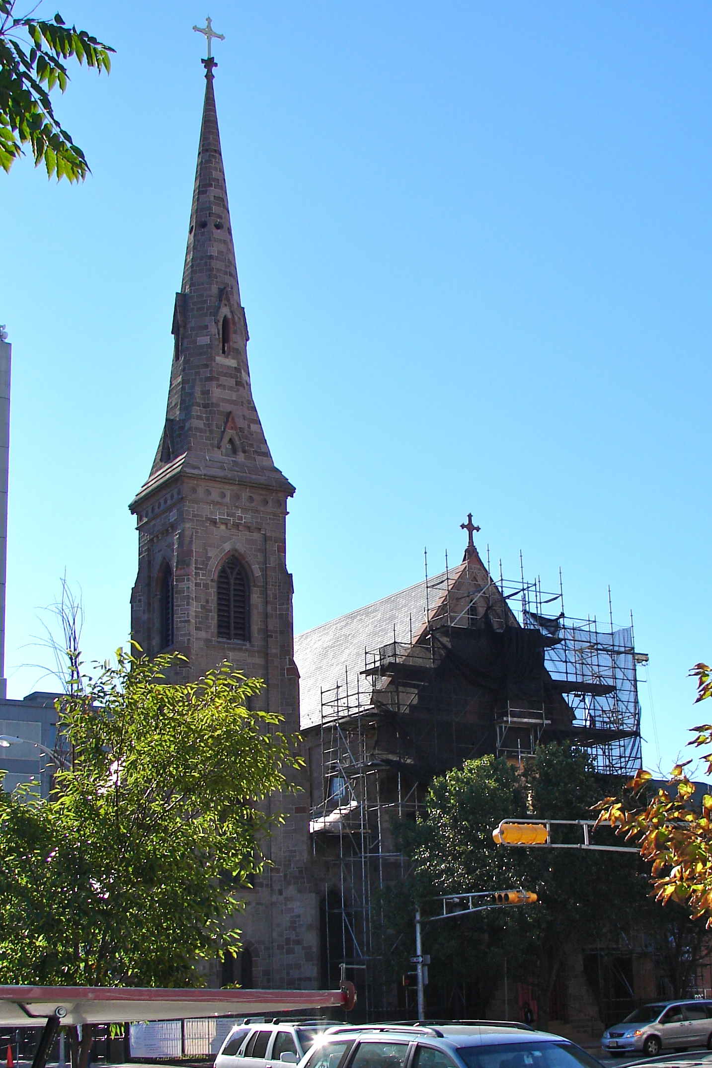
39°48′23″N 75°4′33″W / 39.80639°N 75.07583°WGloucester Township 19 Church of the Immaculate Conception 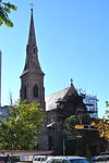
December 10, 2003 642 Market St.
39°56′41″N 75°7′8″W / 39.94472°N 75.11889°WCamden 20 Samuel Coles House June 18, 1973 1743 Old Cuthbert Rd.
39°54′49″N 74°58′41″W / 39.91361°N 74.97806°WCherry Hill 21 Collings-Knight Homestead September 10, 1987 500 Collings Ave.
39°54′42″N 75°4′52″W / 39.91167°N 75.08111°WCollingswood 22 Collingswood Commercial Historic District September 13, 1990 Roughly, Haddon Ave. between Woodlawn and Fern, including adjacent areas on Collings Ave.
39°54′57″N 75°4′6″W / 39.91583°N 75.06833°WCollingswood 23 Collingswood Residential Historic District September 13, 1990 Roughly, Knight Park and its bordering properties, including Park Ave. E to Dayton Ave.
39°54′46″N 75°4′40″W / 39.91278°N 75.07778°WCollingswood 24 Collingswood Theatre June 3, 1982 843 Haddon Ave.
39°54′57″N 75°3′58″W / 39.91583°N 75.06611°WCollingswood 25 Collins and Pancoast Hall February 16, 1984 4-8 S. Centre St.
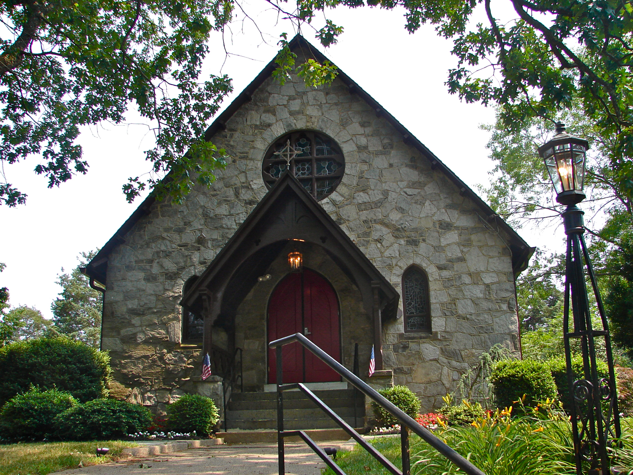
39°57′7″N 75°2′59″W / 39.95194°N 75.04972°WMerchantville 26 Cooper Grant Historic District 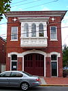
January 30, 1989 Point, N. Front, Linden, Penn & N. Second Sts.
39°56′58″N 75°7′32″W / 39.94944°N 75.12556°WCamden 27 Cooper Library in Johnson Park 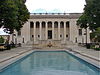
March 11, 1980 2nd and Cooper Sts.
39°56′53″N 75°7′31″W / 39.94806°N 75.12528°WCamden 28 Cooper Street Historic District 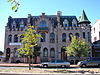
August 7, 1989 Cooper St. from 2nd to 7th Sts.
39°56′49″N 75°7′17″W / 39.94694°N 75.12139°WCamden 29 Joseph Cooper House 
March 14, 1973 Head of 7th St. in Pyne Point Park
39°57′16″N 75°6′57″W / 39.95444°N 75.11583°WCamden 30 Arthur Dorrance House May 13, 1994 28 Franklin Ave.
39°57′5″N 75°2′49″W / 39.95139°N 75.04694°WMerchantville 31 James M. Downey Building 
August 22, 1990 521 Cooper St.
39°56′16″N 75°7′14″W / 39.93778°N 75.12056°WCamden 32 East End Trust Company August 22, 1990 2614-2616 Federal St.
39°56′46″N 75°5′19″W / 39.94611°N 75.08861°WCamden 33 Col. Joseph Ellis House September 23, 1994 1009 Sycamore St.
39°52′36″N 75°3′48″W / 39.87667°N 75.06333°WHaddon Heights 34 Fairview District November 19, 1974 Roughly bounded by Newton Creek, Crescent Blvd., Mt. Ephraim Ave., Olympia and Hull Rds.
39°54′20″N 75°6′17″W / 39.90556°N 75.10472°WCamden 35 Finance Building 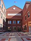
August 22, 1990 549-559 Cooper St.
39°56′48″N 75°7′11″W / 39.94667°N 75.11972°WCamden Demolished.[6] 36 First Camden National Bank & Trust 
August 24, 1990 Jct. of Broadway and Cooper St.
39°56′42″N 75°7′10″W / 39.945°N 75.11944°WCamden 37 Gatehouse at Colestown Cemetery May 21, 1975 Kings Hwy. and Church Rd.
39°56′0″N 74°59′24″W / 39.933333°N 74.99°WCherry Hill 38 Glendale Methodist Episcopal Church August 4, 1995 615 Haddonfield-Berlin Rd. (Rt. 561), at jct. with White Horse Rd., Voorhees Township
39°51′14″N 74°58′58″W / 39.85389°N 74.98278°WVoorhees Township 39 Gloucester City Water Works Engine House March 30, 1998 Jct. of Johnson Blvd and Gaunt St.
39°53′47″N 75°6′53″W / 39.89639°N 75.11472°WGloucester City 40 Glover Fulling Mill Site September 28, 1990 Address Restricted Haddon Heights 41 Isaac Glover House September 23, 1994 1908 New Jersey Ave.
39°52′49″N 75°4′53″W / 39.88028°N 75.08139°WHaddon Heights 42 Grant A.M.E. Church October 5, 1977 4th and Washington Sts.
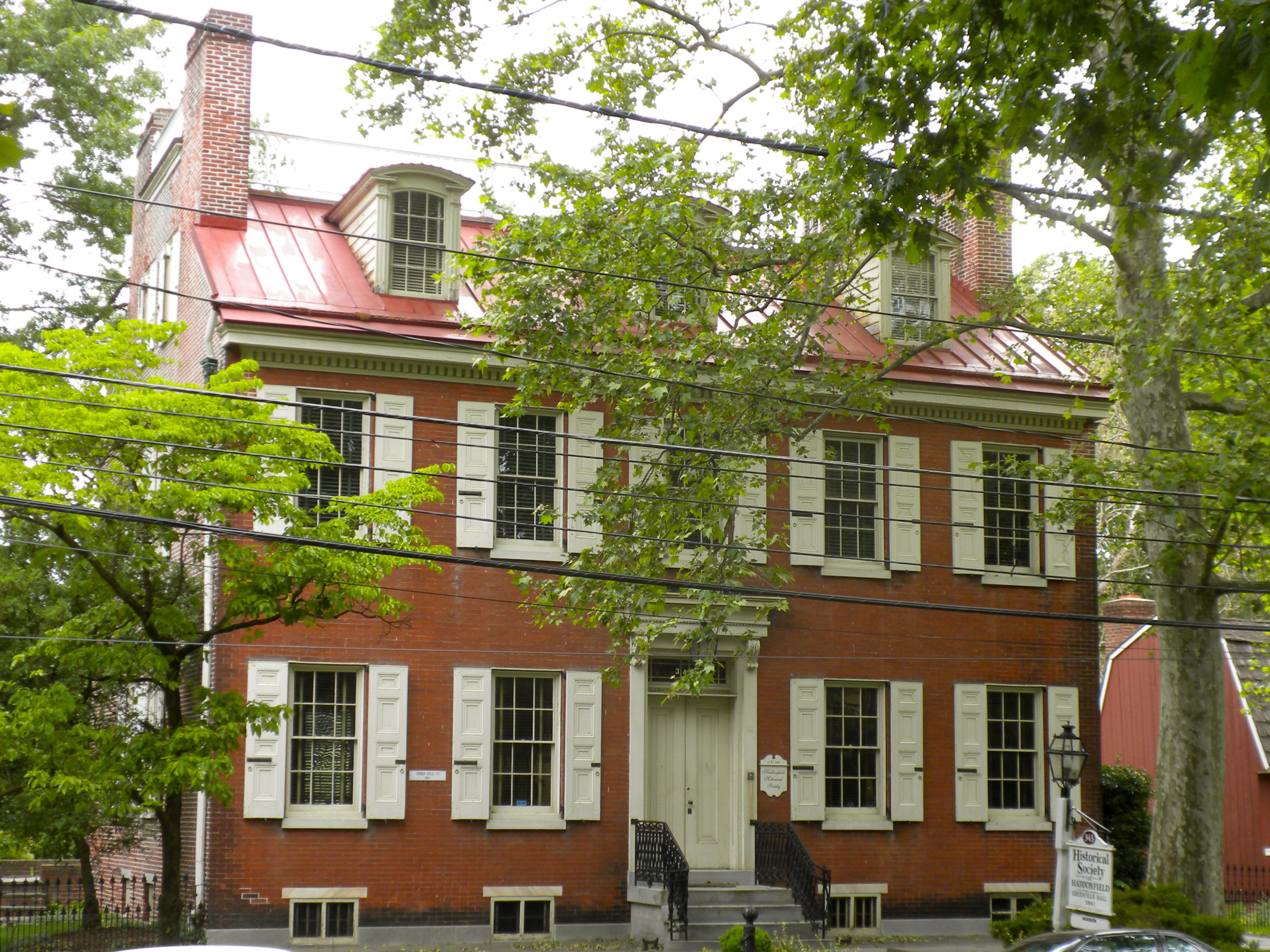
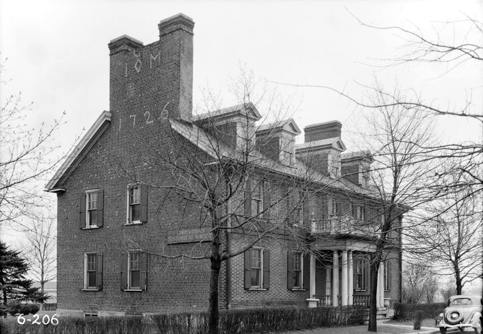
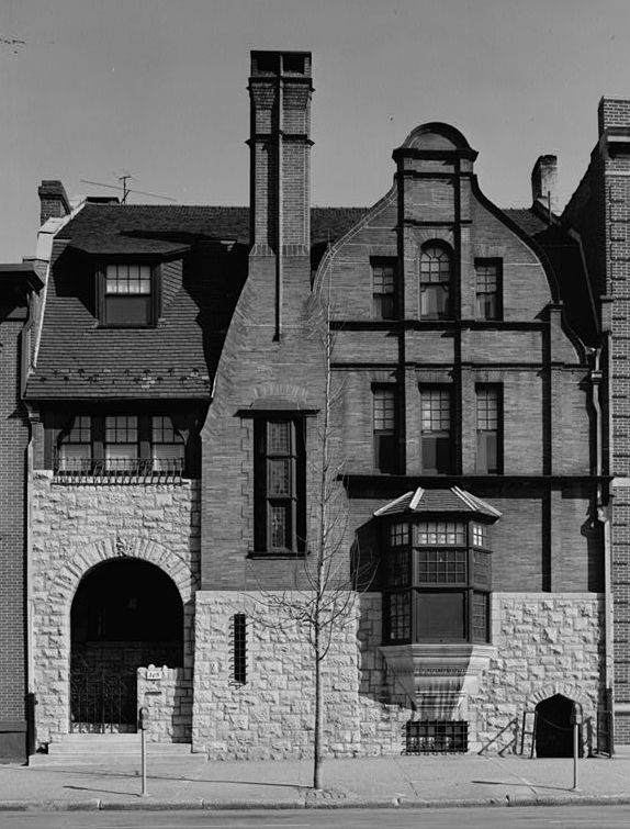
39°44′6″N 74°52′46″W / 39.735°N 74.87944°WChesilhurst 43 Greenfield Hall 
June 5, 1974 343 Kings Hwy. E
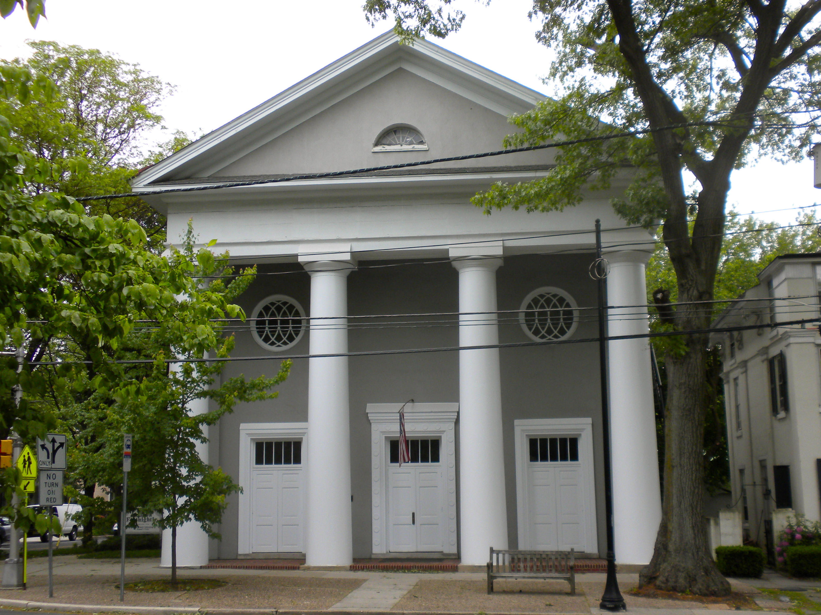
39°54′1″N 75°5′11″W / 39.90028°N 75.08639°WHaddonfield 44 Haddon Fortnightly Club House 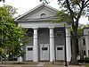
October 26, 1972 301 King's Hwy.
39°53′59″N 75°1′45″W / 39.89972°N 75.02917°WHaddonfield 45 Haddonfield Historic District 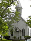
July 21, 1982 Roughly bounded by Washington, Hopkins, Summit, and E. Park Aves., and Kings Hwy.
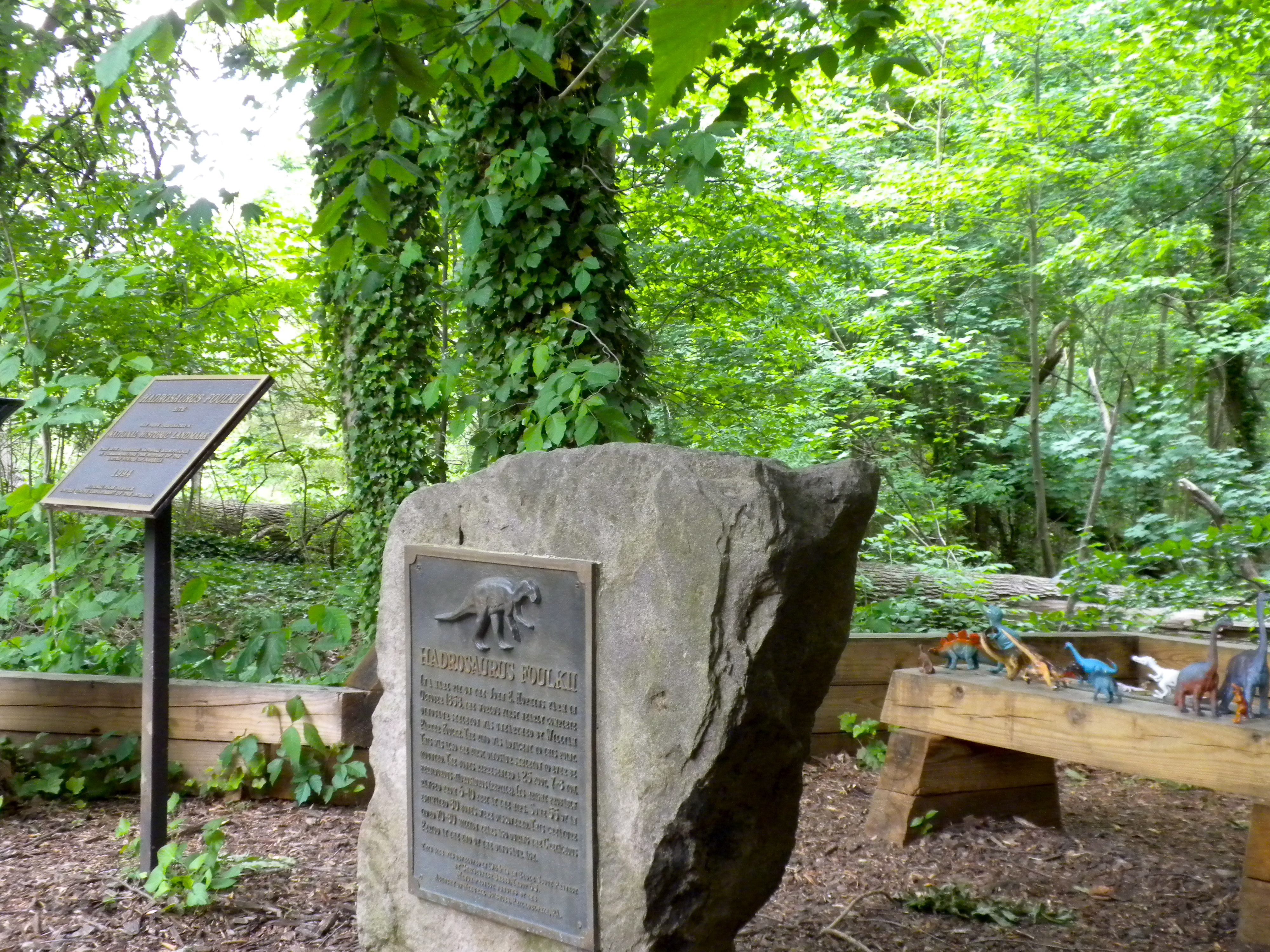
39°53′49″N 75°2′0″W / 39.89694°N 75.033333°WHaddonfield 46 Hadrosaurus Foulkii Leidy Site 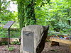
October 12, 1994 End of Maple Ave., near Cooper River
39°54′34″N 75°1′40″W / 39.90944°N 75.02778°WHaddonfield 47 Hillman Hospital House 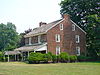
July 14, 1977 500 3rd Ave.
39°50′15″N 75°3′40″W / 39.8375°N 75.06111°WGlendora 48 Hinchman-Lippincott House February 17, 1995 1089 N. Park Ave.
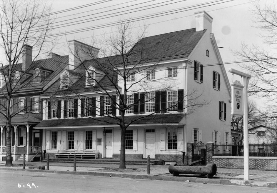
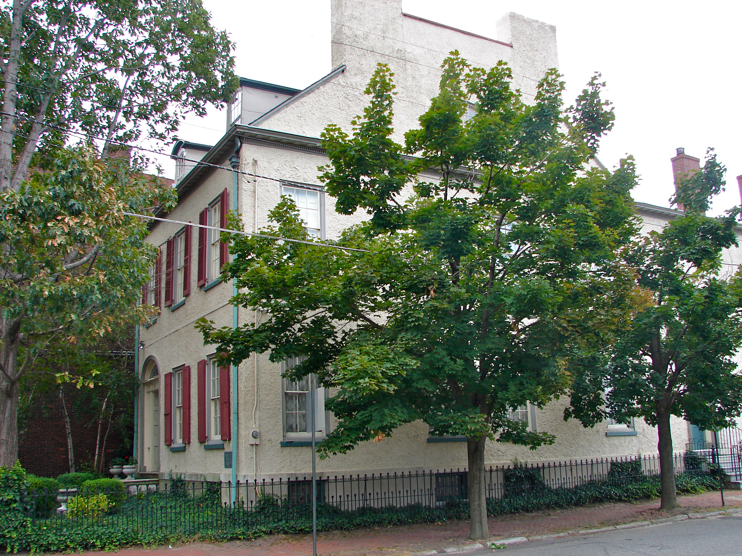
39°52′48″N 75°4′1″W / 39.88°N 75.06694°WHaddon Heights 49 Indian King Tavern 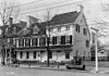
December 18, 1970 233 Kings Hwy. E
39°53′56″N 75°1′52″W / 39.89889°N 75.03111°WHaddonfield 50 Inter-County Mortgage and Finance Company 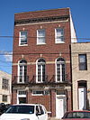
August 22, 1990 333 Arch St.
39°56′41″N 75°7′26″W / 39.94472°N 75.12389°WCamden 51 Kay-Evans Farm June 28, 2000 100 Borton Mill Rd.
39°53′54″N 75°1′13″W / 39.89833°N 75.02028°WCherry Hill 52 Long-A-Coming Depot 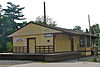
February 14, 1997 Between Washington and E. Taunton Aves., SE of jct. of NJ 73 and E. Taunton Ave.
39°47′38″N 74°55′34″W / 39.79389°N 74.92611°WBerlin 53 Marcouse Building 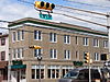
August 24, 1990 231 Market St.
39°56′47″N 75°7′28″W / 39.94639°N 75.12444°WCamden 54 Robert Marshall House January 16, 2008 510 Almonesson Rd. (Gloucester Township)
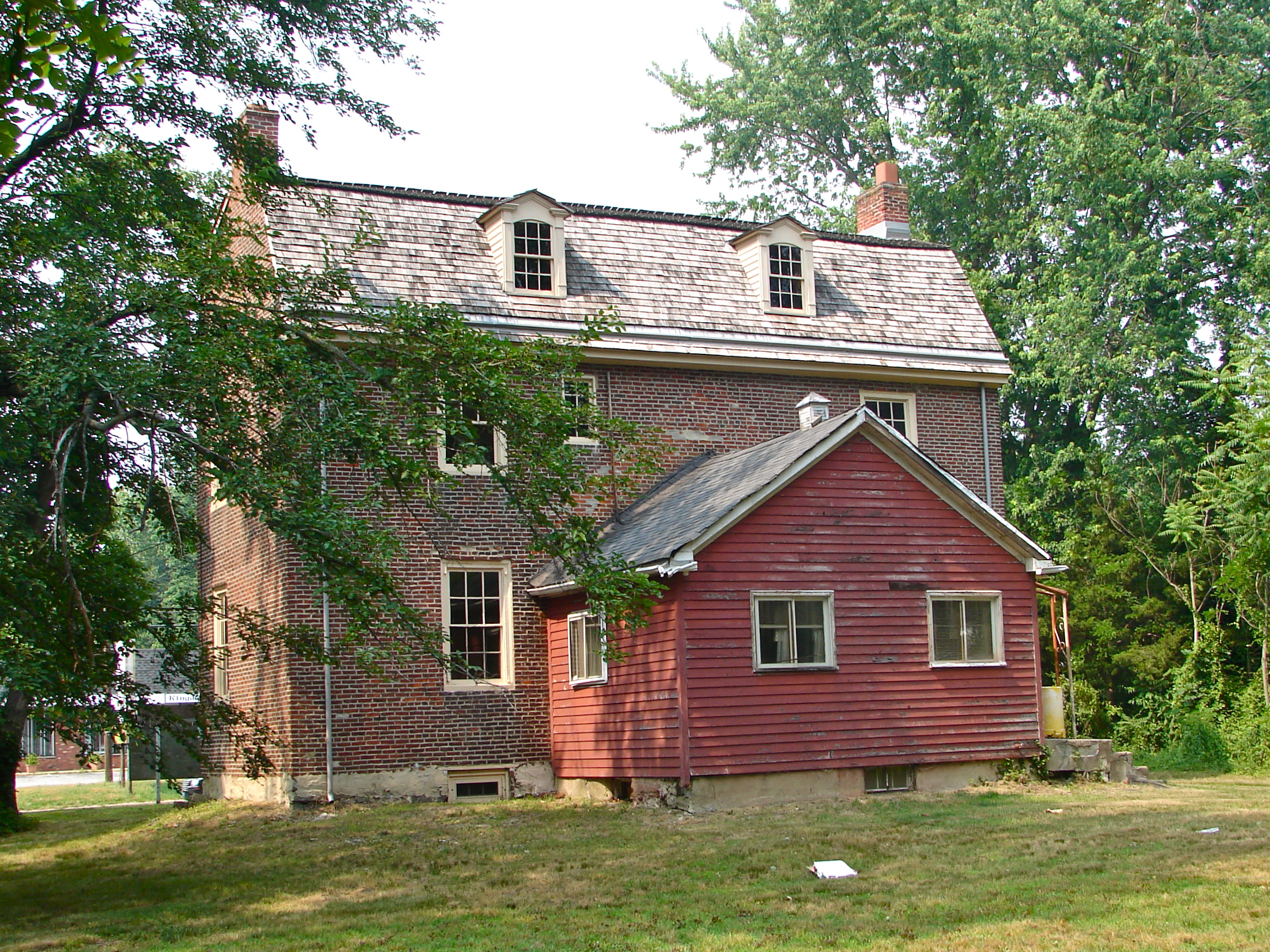
39°48′43.99″N 75°4′50.32″W / 39.8122194°N 75.0806444°WGloucester Township 55 Samuel Mickle House May 21, 1975 345 Kings Hwy., E.
39°54′1″N 75°1′41″W / 39.90028°N 75.02806°WHaddonfield 56 Griffith Morgan House January 25, 1973 234 Griffith Morgan Lane (off River Road)
39°59′24″N 75°2′55″W / 39.99°N 75.04861°WPennsauken Township 57 Peter Mott House September 8, 1994 Jct. of Moore and Gloucester Aves.
39°52′2″N 75°2′10″W / 39.86722°N 75.03611°WLawnside 58 Mount Peace Cemetery and Funeral Directing Company Cemetery July 29, 2009 329 US Route 30
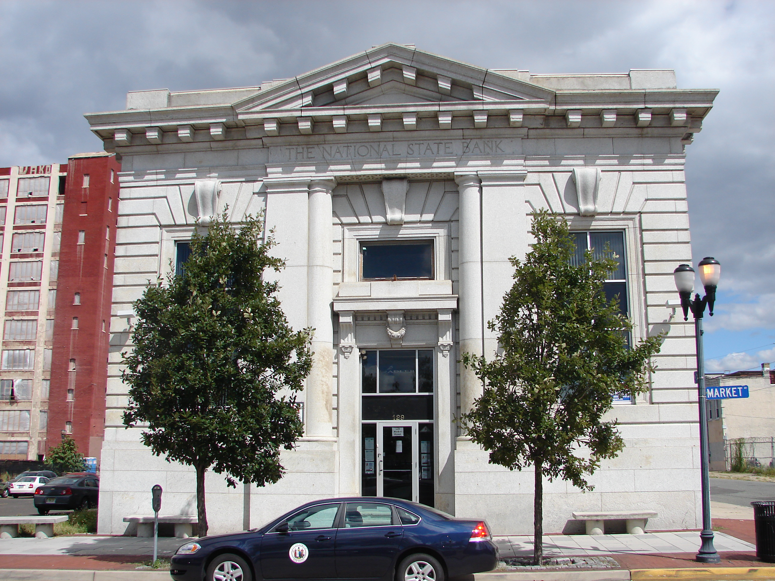
39°52′13.07″N 75°2′35.16″W / 39.8702972°N 75.0431°WLawnside 59 National State Bank 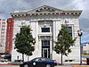
August 24, 1990 123 Market St.
39°56′47″N 75°7′34″W / 39.94639°N 75.12611°WCamden 60 New Jersey Safe Deposit and Trust Company 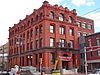
August 24, 1990 Market and Third Sts.
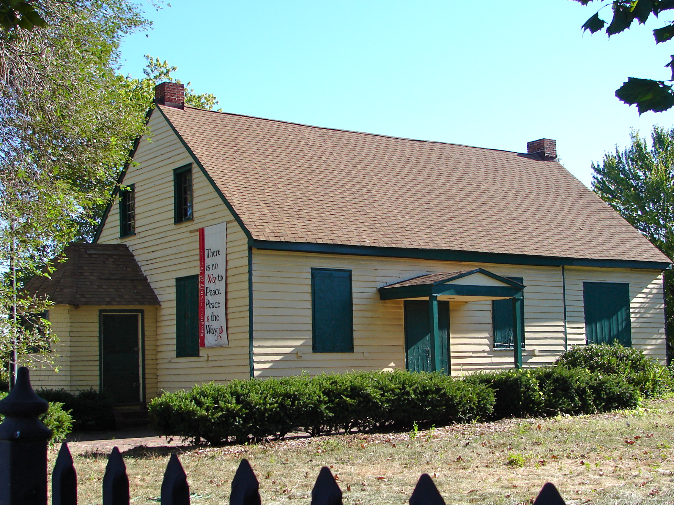
39°56′47″N 75°7′40″W / 39.94639°N 75.12778°WCamden 61 Newton Friends' Meetinghouse 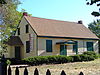
August 12, 1971 722 Cooper St.
39°56′45″N 75°7′1″W / 39.94583°N 75.11694°WCamden 62 Newton Union Schoolhouse October 27, 1988 Collins and Lynne Aves.
39°54′31″N 75°5′30″W / 39.90861°N 75.09167°WCamden 63 The Oaks Historic District July 9, 1997 Roughly bounded by W. Maple Ave., Browning Rd., Volan St., and Oak Terrace
39°56′55″N 75°3′32″W / 39.94861°N 75.05889°WMerchantville 64 Pomona Hall 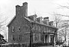
August 12, 1971 Park Blvd. and Euclid Ave.
39°55′51″N 75°5′40″W / 39.93083°N 75.09444°WCamden 65 Ritz Theatre 
December 26, 2002 915 White Horse Pike
39°54′1″N 75°4′33″W / 39.90028°N 75.07583°WHaddon Township 66 Sears, Roebuck and Company Retail Department Store-Camden 
July 27, 2000 1300 Admiral Wilson Blvd.
39°56′37″N 75°6′37″W / 39.94361°N 75.11028°WCamden 67 Edward Sharp House 
February 29, 1980 200 Cooper St.
39°56′50″N 75°7′30″W / 39.94722°N 75.125°WCamden 68 Smith-Austermuhl Insurance Company August 24, 1990 NW corner of 5th and Market Sts.
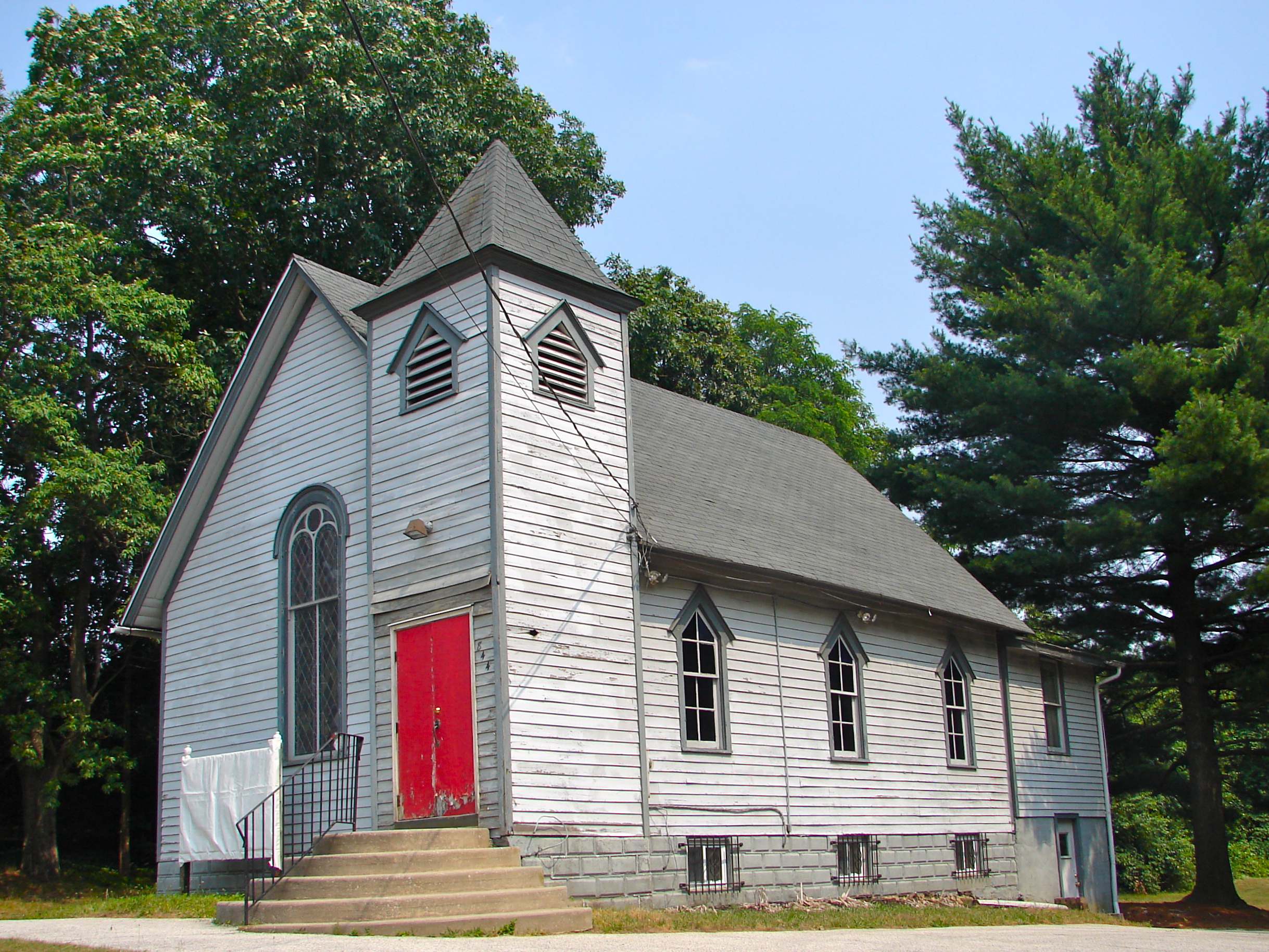
39°56′49″N 75°7′17″W / 39.94694°N 75.12139°WCamden 69 Solomon Wesley United Methodist Church 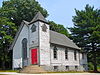
April 10, 1989 291-B Davistown Rd./Asyla Rd.
39°47′35″N 75°2′46″W / 39.79306°N 75.04611°WBlackwood 70 South Camden Historic District September 28, 1990 Roughly bounded by Jackson St., S. Fourth St., Chelton Ave. and Railroad Ave.
39°55′18″N 75°7′13″W / 39.92167°N 75.12028°WCamden 71 South Camden Trust Company August 24, 1990 Broadway at Ferry St.
39°55′19″N 75°7′12″W / 39.92194°N 75.12°WCamden 72 South Jersey Gas, Electric and Traction Company Office Building 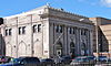
January 5, 2005 418 Federal St.
39°56′51″N 75°7′16″W / 39.9475°N 75.12111°WCamden 73 St. John's Episcopal Church and Burying Ground 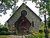
November 22, 1980 Chews Landing Rd. and Old Black Horse Pk.
39°49′56″N 75°3′48″W / 39.83222°N 75.06333°WRunnemede 74 St. Joseph Polish Catholic Church December 18, 2003 1010 Liberty St.
39°55′49″N 75°6′36″W / 39.93028°N 75.11°WCamden 75 Station Avenue Business District November 13, 1989 Station Ave. from Seventh Ave. to White Horse Pike
39°52′56″N 75°3′32″W / 39.88222°N 75.05889°WHaddon Heights 76 Stokes-Lee House September 10, 1987 615-617 Lees Ave.
39°54′31″N 75°4′12″W / 39.90861°N 75.07°WCollingswood 77 Dr. Henry Genet Taylor House and Office 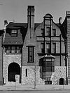
August 12, 1971 305 Cooper St.
39°56′51″N 75°7′23″W / 39.9475°N 75.12306°WCamden 78 Thackara House September 10, 1987 912 Eldridge Ave.
39°54′29″N 75°5′17″W / 39.90806°N 75.08806°WCollingswood 79 Isaac Tomlinson House 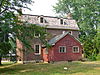
March 9, 2005 834 Blackwood-Clementon Rd.
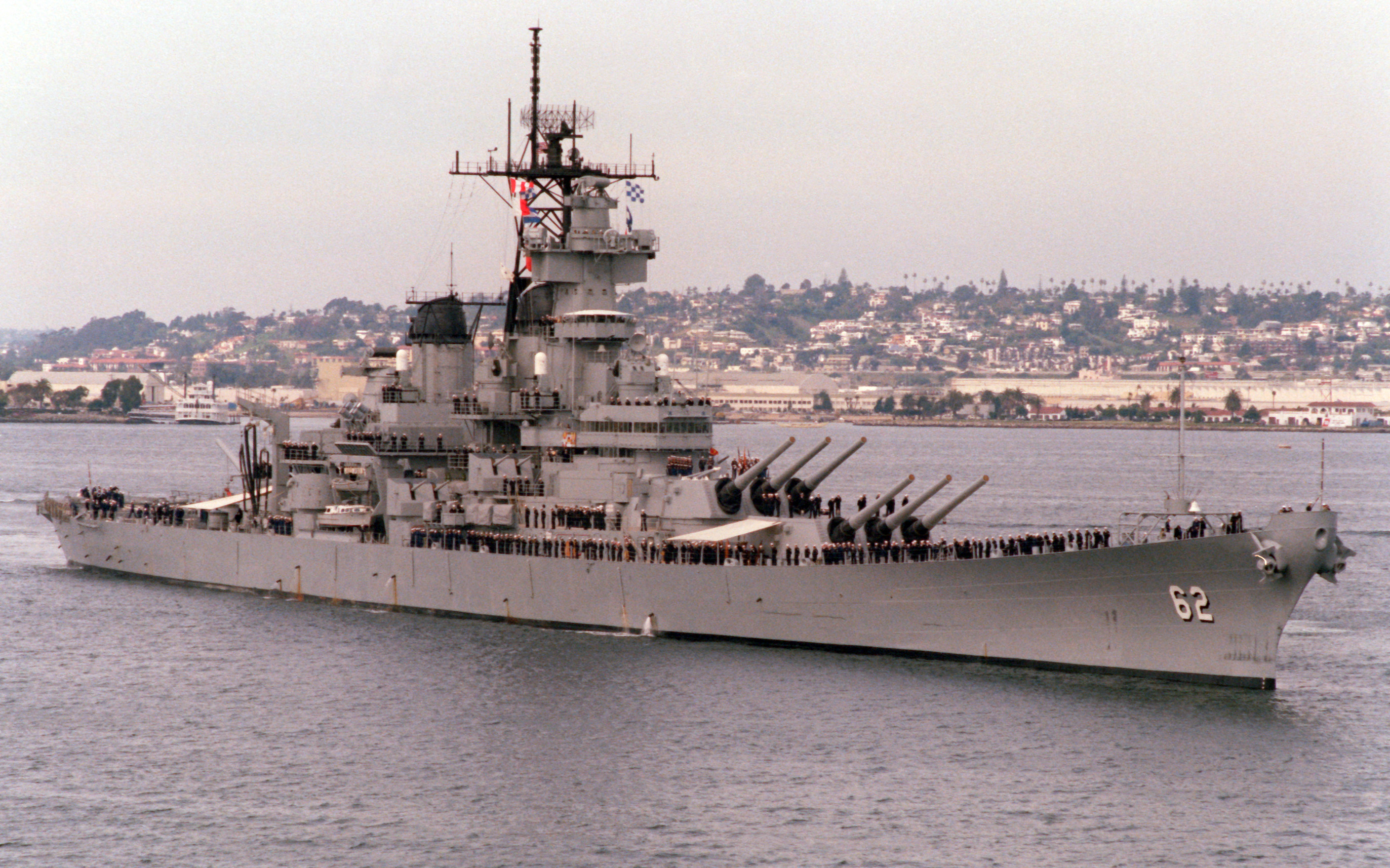
39°48′16″N 75°0′42″W / 39.80444°N 75.01167°WPine Hill 80 USS New Jersey (BB-62) 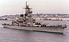
September 17, 2004 62 Battleship Place
39°56′31″N 75°7′57″W / 39.94194°N 75.1325°WCamden 81 Victory Trust Company August 24, 1990 Broadway and Spruce St.
39°56′6″N 75°7′11″W / 39.935°N 75.11972°WCamden 82 Westmont Theatre October 14, 2010 49 Haddon Ave.
39°54′46″N 75°3′14″W / 39.91278°N 75.05389°WHaddon Township 83 White Horse Pike Historic District October 27, 1988 Roughly bounded by Fourth Ave., High and Haddon Sts., E. Atlantic St., and Kings Hwy. and Green St.
39°52′58″N 75°3′24″W / 39.88278°N 75.05667°WHaddon Heights 84 George Whitman House 
October 11, 1990 431 Stevens St.
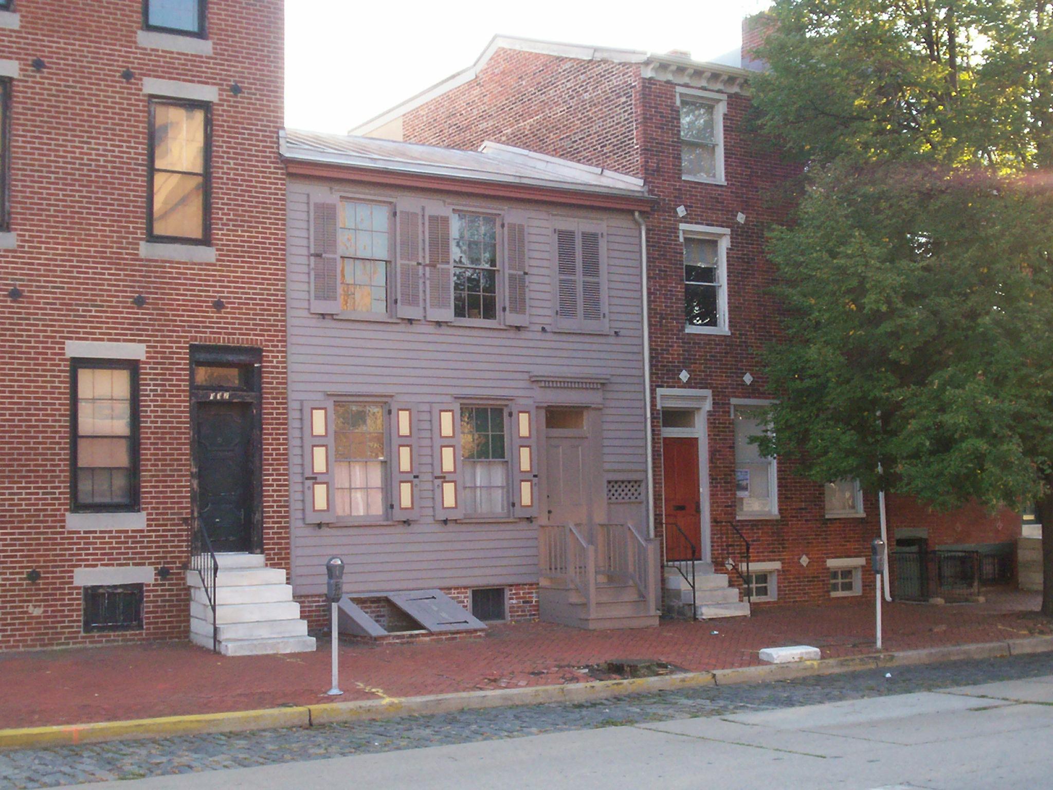
39°56′31″N 75°7′24″W / 39.94194°N 75.12333°WCamden Demolished.[7] 85 Walt Whitman House 
October 15, 1966 330 Mickle St.
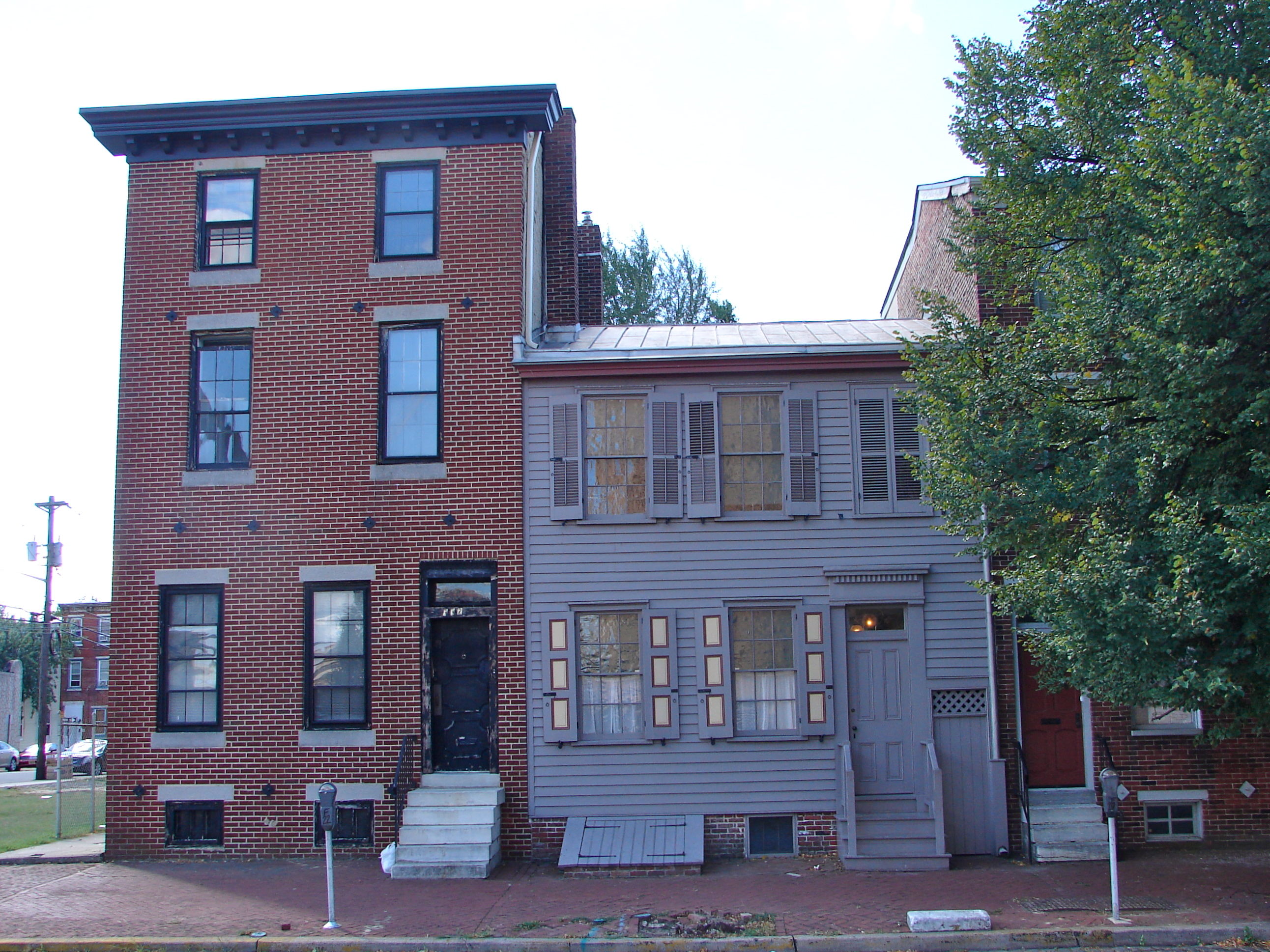
39°56′33″N 75°7′26″W / 39.9425°N 75.12389°WCamden 86 Walt Whitman Neighborhood 
January 20, 1978 326-332 Mickle St.
39°56′32″N 75°7′26″W / 39.94222°N 75.12389°WCamden 87 Wilson Building 
August 24, 1990 Cooper St. and Broadway
39°56′46″N 75°7′8″W / 39.94611°N 75.11889°WCamden 88 Woodlynne Log Cabin August 21, 1997 200 Blk. of Cooper Ave.
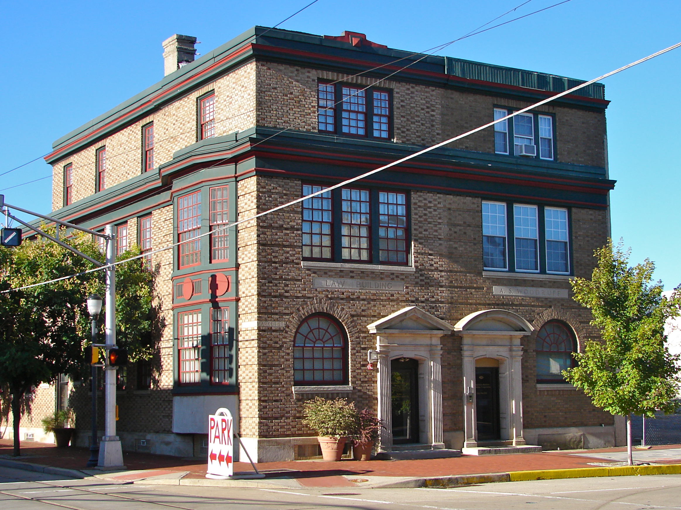
39°54′58″N 75°5′45″W / 39.91611°N 75.09583°WWoodlynne 89 A. S. Woodruff and Law Buildings 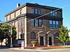
August 24, 1990 328-330 Market St.
39°56′45″N 75°7′23″W / 39.94583°N 75.12306°WCamden References
- ^ a b The latitude and longitude information provided in this table was derived originally from the National Register Information System, which has been found to be fairly accurate for about 99% of listings. For about 1% of NRIS original coordinates, experience has shown that one or both coordinates are typos or otherwise extremely far off; some corrections may have been made. A more subtle problem causes many locations to be off by up to 150 yards, depending on location in the country: most NRIS coordinates were derived from tracing out latitude and longitudes off of USGS topographical quadrant maps created under the North American Datum of 1927, which differs from the current, highly accurate WGS84 GPS system used by Google maps. Chicago is about right, but NRIS longitudes in Washington are higher by about 4.5 seconds, and are lower by about 2.0 seconds in Maine. Latitudes differ by about 1.0 second in Florida. Some locations in this table may have been corrected to current GPS standards.
- ^ "National Register of Historic Places: Weekly List Actions". National Park Service, United States Department of the Interior. Retrieved on November 10, 2011.
- ^ Numbers represent an ordering by significant words. Various colorings, defined here, differentiate National Historic Landmark sites, a [[National Historic Site (United States)|]], and several National Register of Historic Places Districts from other NRHP buildings, structures, sites or objects.
- ^ "National Register Information System". National Register of Historic Places. National Park Service. 2008-04-24. http://nrhp.focus.nps.gov/natreg/docs/All_Data.html.
- ^ "New Jersey and National Registers of Historic Places". NJ DOP Historic Preservation Office. http://www.state.nj.us/dep/hpo/1identify/lists/camden.pdf. Retrieved 14 September 2010.
- ^ "New Jersey and National Registers of Historic Places". NJ Historic Preservation Office. http://www.state.nj.us/dep/hpo/1identify/lists/camden.pdf. Retrieved 11 October 2010.
- ^ "New Jersey and National Registers of Historic Places". NJ DOP Historic Preservation Office. http://www.state.nj.us/dep/hpo/1identify/lists/camden.pdf. Retrieved 14 September 2010.
U.S. National Register of Historic Places Topics Lists by states Alabama • Alaska • Arizona • Arkansas • California • Colorado • Connecticut • Delaware • Florida • Georgia • Hawaii • Idaho • Illinois • Indiana • Iowa • Kansas • Kentucky • Louisiana • Maine • Maryland • Massachusetts • Michigan • Minnesota • Mississippi • Missouri • Montana • Nebraska • Nevada • New Hampshire • New Jersey • New Mexico • New York • North Carolina • North Dakota • Ohio • Oklahoma • Oregon • Pennsylvania • Rhode Island • South Carolina • South Dakota • Tennessee • Texas • Utah • Vermont • Virginia • Washington • West Virginia • Wisconsin • WyomingLists by territories Lists by associated states Other  State of New Jersey
Topics Regions - Atlantic Coastal Plain
- Central Jersey
- Delaware River Region
- Delaware Valley
- Gateway Region
- Gold Coast
- Highlands
- Jersey Shore
- Meadowlands
- New York metro area
- North Hudson
- North Jersey
- Pascack Valley
- Piedmont
- Pine Barrens
- Raritan Bayshore
- Ridge-and-Valley Appalachians
- Southern Shore Region
- Skylands Region
- South Jersey
- Tri‑State Region
- West Hudson
Counties Major cities Categories:- National Register of Historic Places in New Jersey
- Camden County, New Jersey
-


Wikimedia Foundation. 2010.