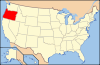
- National Register of Historic Places listings in Benton County, Oregon
-
This is a list of properties and districts in Benton County, Oregon that are listed on the National Register of Historic Places.
Current listings
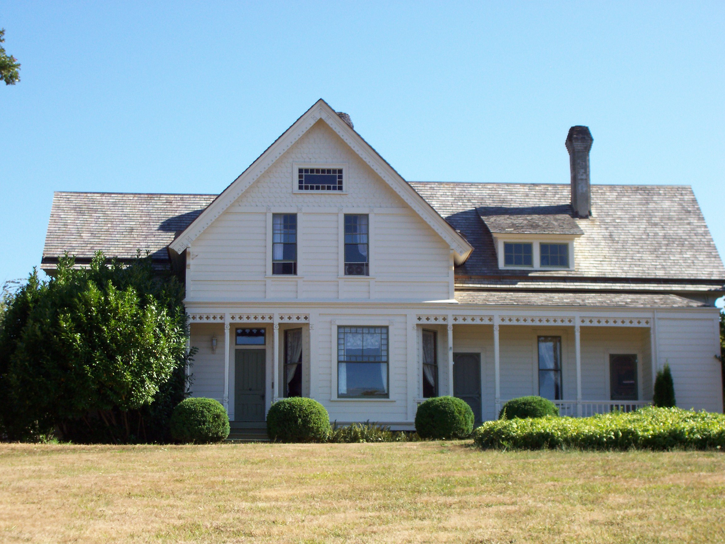
Landmark name Image Date listed Location City or Town Summary 1 Avery-Helm Historic District January 27, 2000 Roughly bounded by SW 2nd, 6th, and Jefferson Sts. and OR 20/34 By-Pass
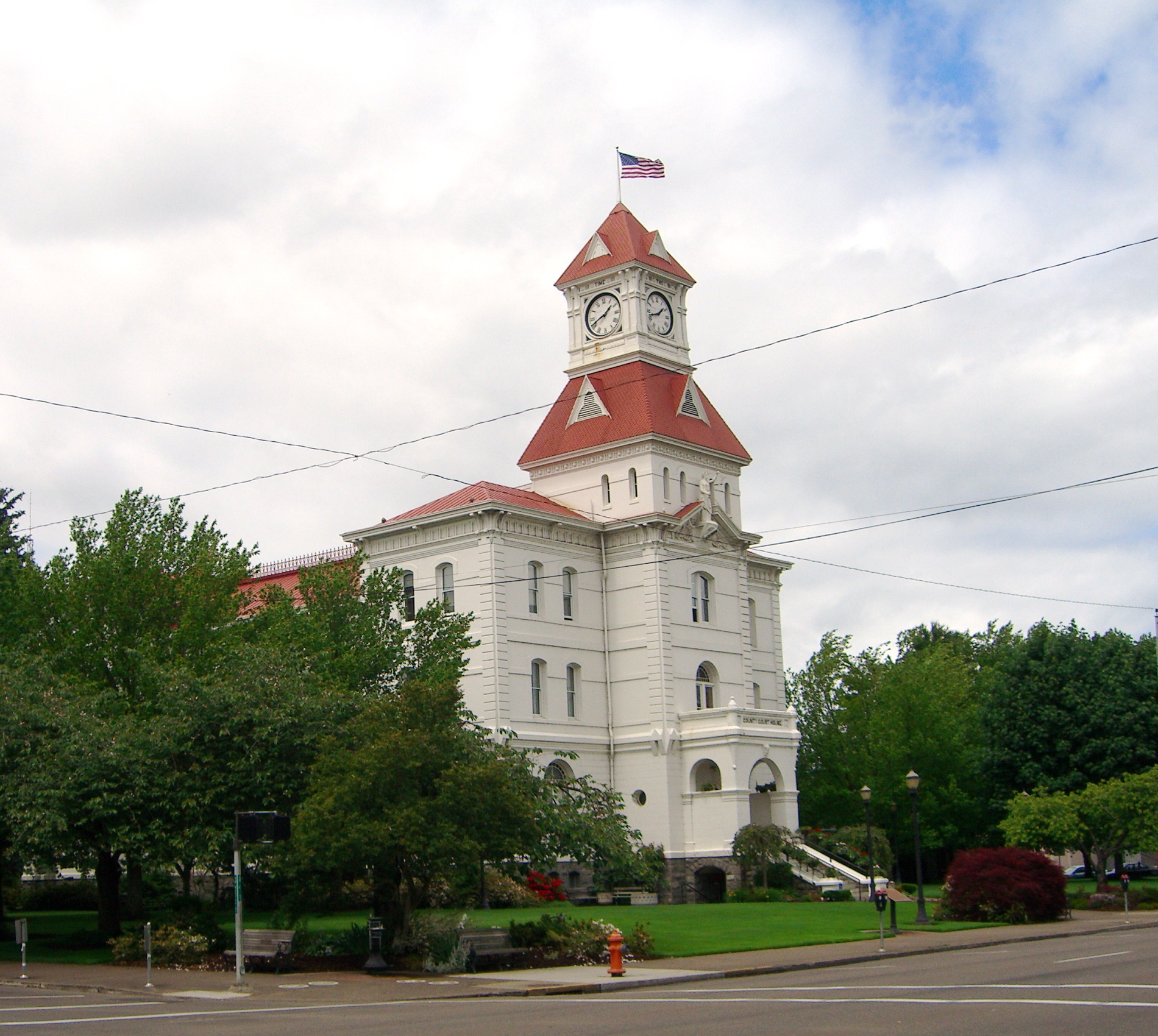
44°33′36″N 123°15′51″W / 44.56°N 123.26417°WCorvallis 2 Benton County Courthouse 
January 30, 1978 NW 4th St. between Jackson and Monroe Sts.
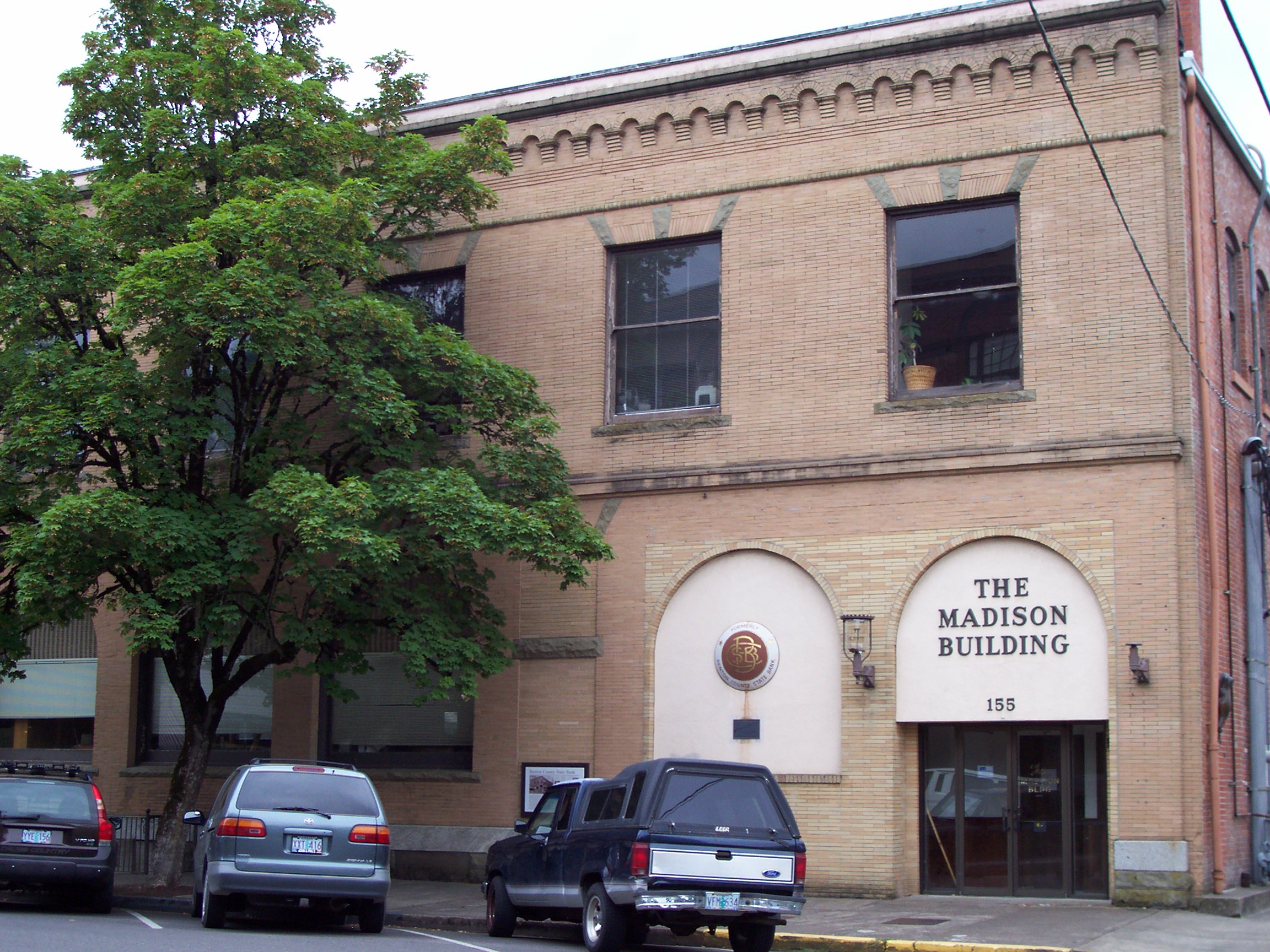
44°33′57″N 123°15′38″W / 44.56583°N 123.26056°WCorvallis 3 Benton County State Bank Building 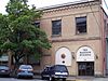
March 7, 1979 155 SW Madison Ave.
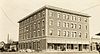
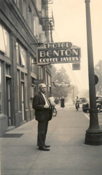
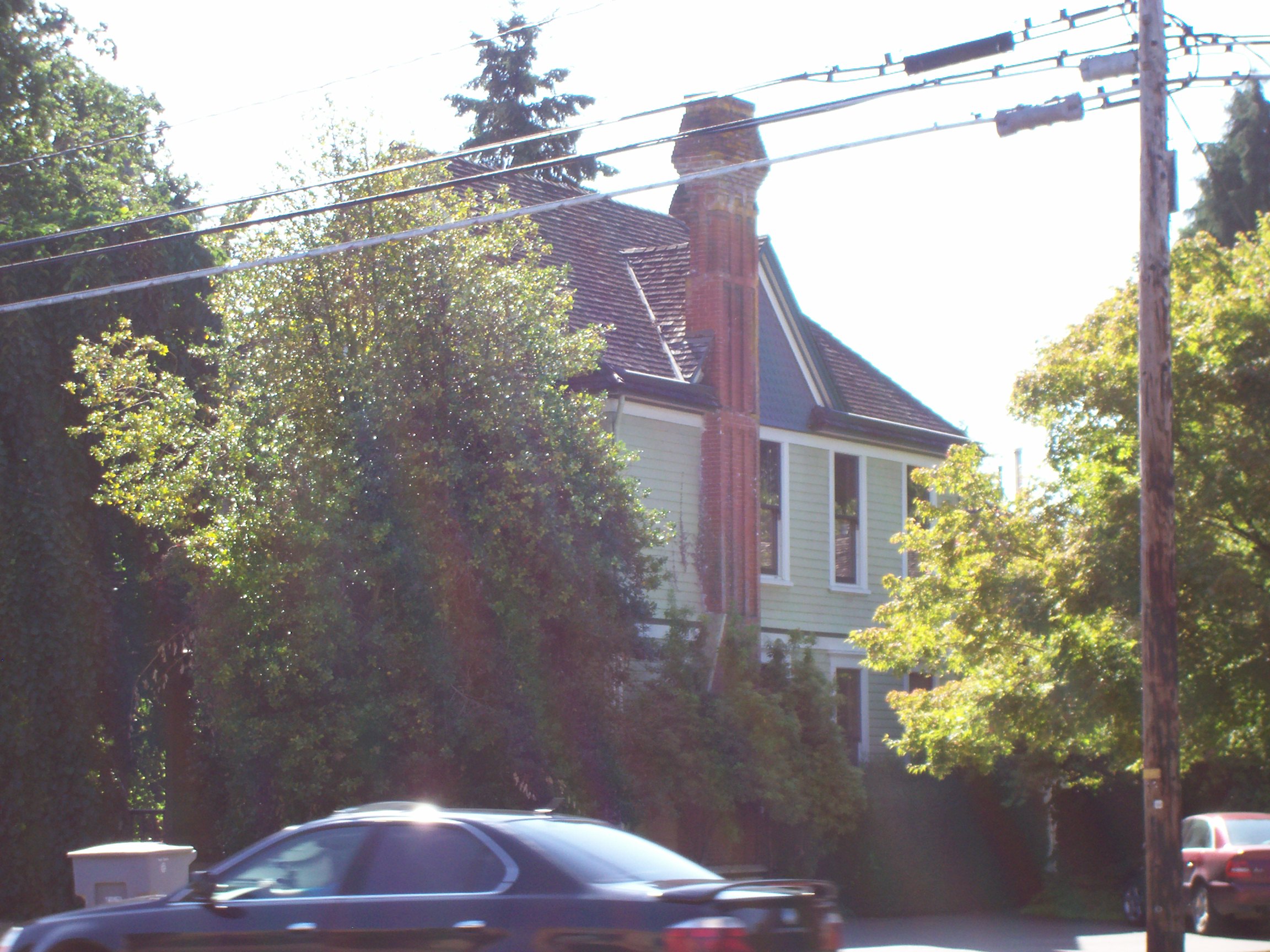
44°33′48″N 123°15′31″W / 44.56333°N 123.25861°WCorvallis 4 Benton Hotel 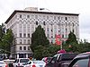
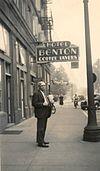
May 20, 1982 408 SW Monroe
44°33′53″N 123°15′40″W / 44.56472°N 123.26111°WCorvallis 5 George W. Bethers House 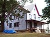
August 12, 1997 225 N. 8th St.
44°32′30″N 123°22′25″W / 44.54167°N 123.37361°WPhilomath 6 John Bexell House 
February 26, 1992 3009 NW. Van Buren Ave.
44°34′16″N 123°17′0″W / 44.57111°N 123.283333°WCorvallis 7 Dr. Ralph Lyman Bosworth House 
December 9, 1981 833 NW Buchanan Ave.
44°34′32″N 123°15′34″W / 44.57556°N 123.25944°WCorvallis 8 J. R. Bryson House 
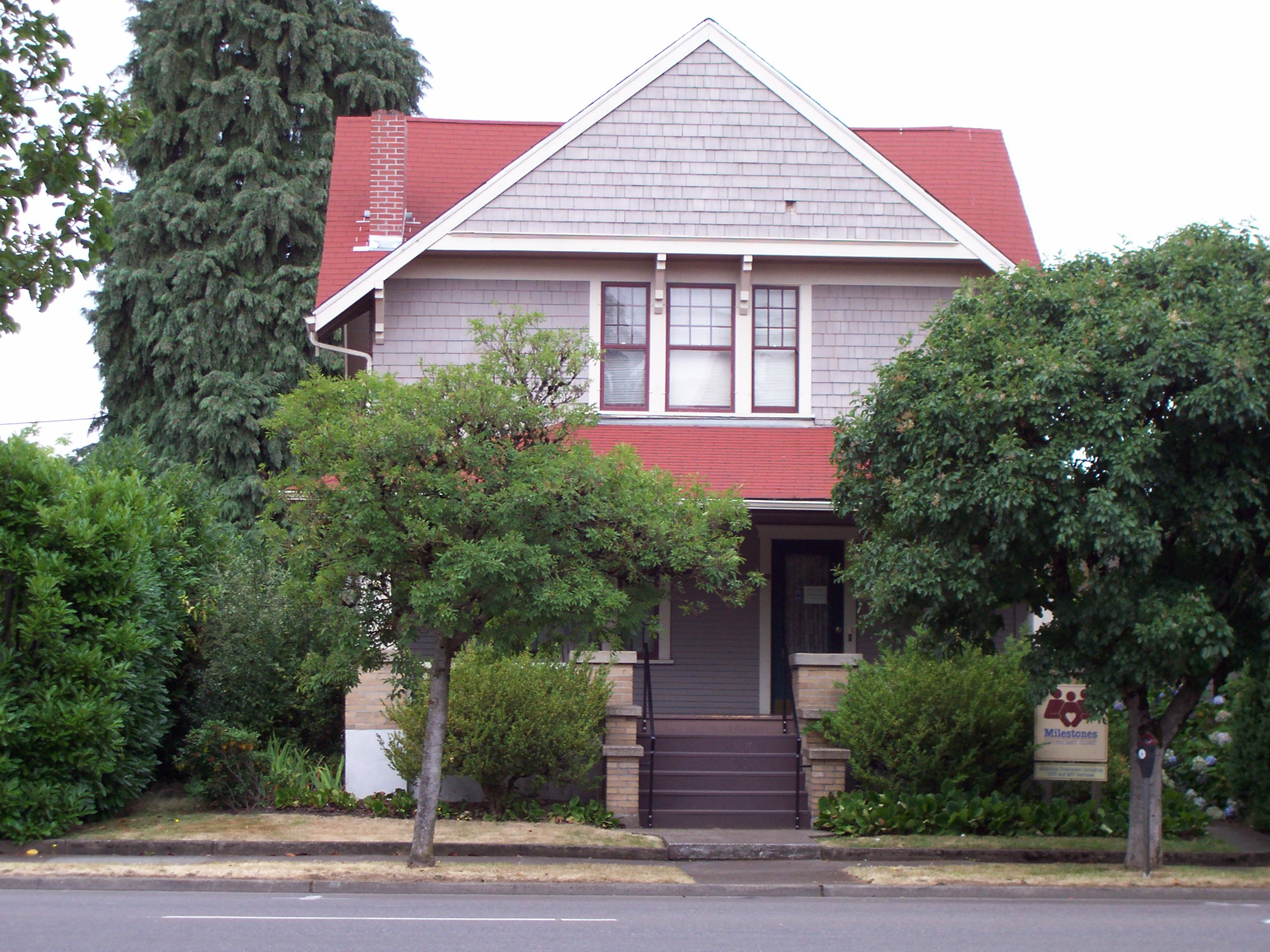
November 15, 1979 242 NW 7th St.
44°34′3″N 123°15′47″W / 44.5675°N 123.26306°WCorvallis 9 Burnap-Rickard House 
August 1, 1984 518 SW 3rd St.
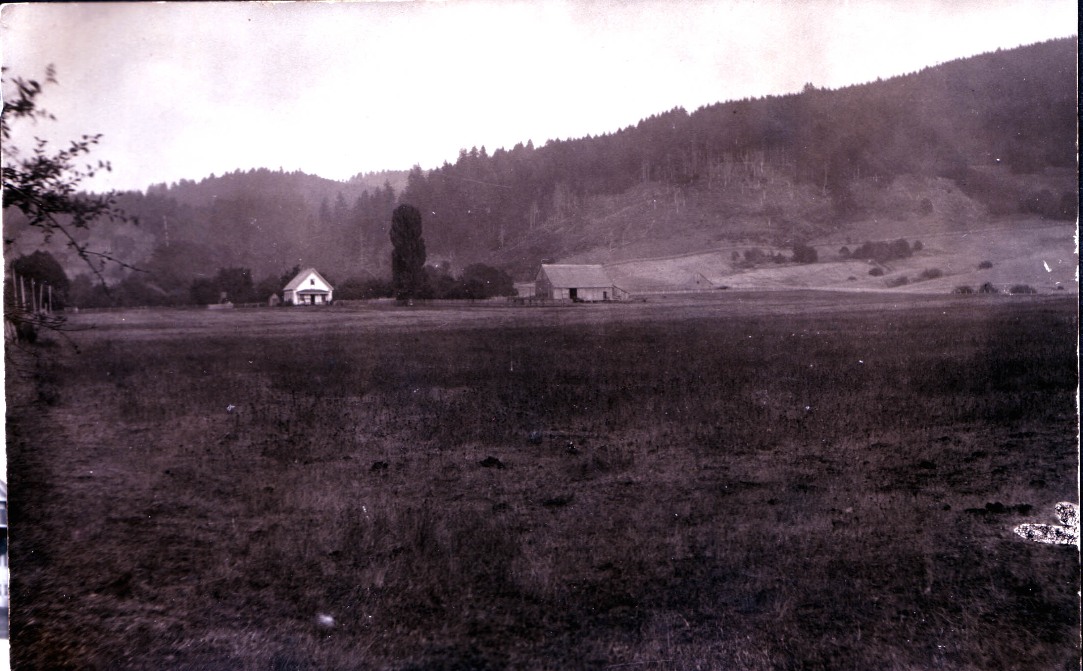
44°33′37″N 123°15′44″W / 44.56028°N 123.26222°WCorvallis 10 Camp Arboretum Sign Shop 
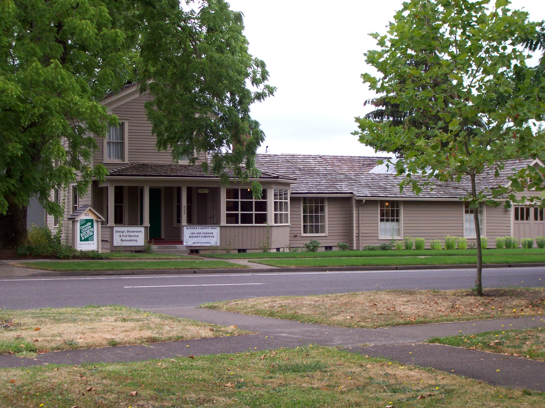
June 25, 2008 8592-8399 NW Peavy Arboretum Vic. of Corvallis 11 Jesse H. Caton House 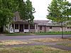
September 27, 1979 602 NW 4th St.
44°34′12″N 123°15′30″W / 44.57°N 123.25833°WCorvallis 12 Children's Farm Home School 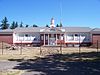
March 25, 2008 4455 US 20 NE.
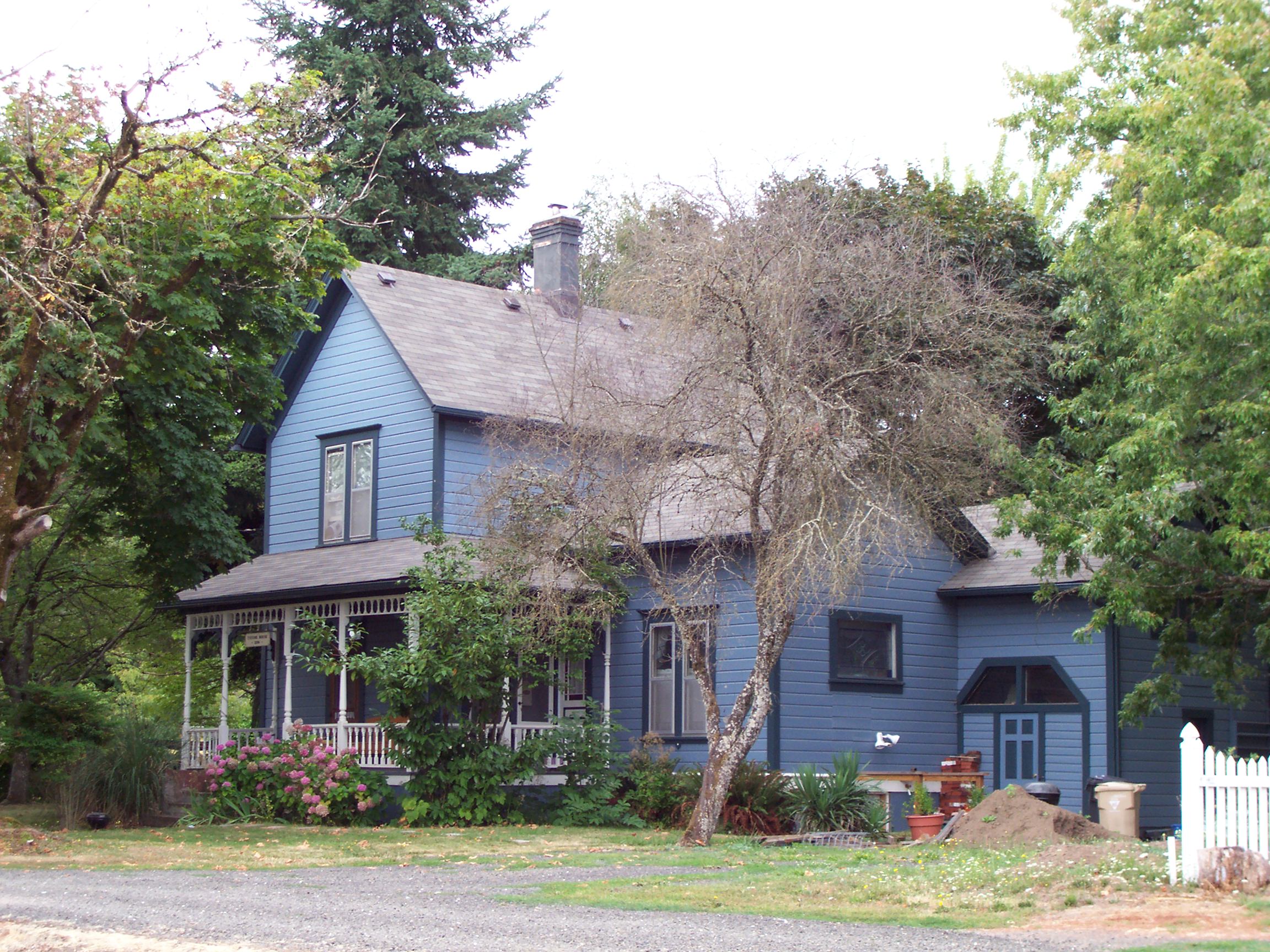
44°36′34″N 123°12′54″W / 44.60944°N 123.215°WVic of. Corvallis 13 College Hill West Historic District August 1, 2002 Roughly bounded by NW Johnson, Polk, Arnold and 36th
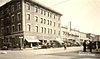
44°34′16″N 123°17′3″W / 44.57111°N 123.28417°WCorvallis 14 Corvallis Hotel 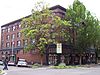
September 10, 1987 201-211 S.W. Second St.
44°33′47″N 123°15′32″W / 44.56306°N 123.25889°WCorvallis 15 Crystal Lake Cemetery 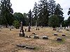
June 16, 2004 1945 SE Crystal Lake Dr.
44°32′52″N 123°15′12″W / 44.54778°N 123.25333°WCorvallis 16 Episcopal Church of the Good Samaritan 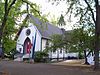
September 10, 1971 700 SW Madison Ave.
44°33′52″N 123°15′54″W / 44.56444°N 123.265°WCorvallis 17 J. Leo Fairbanks House 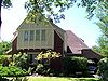
February 14, 1985 316 NW 32nd
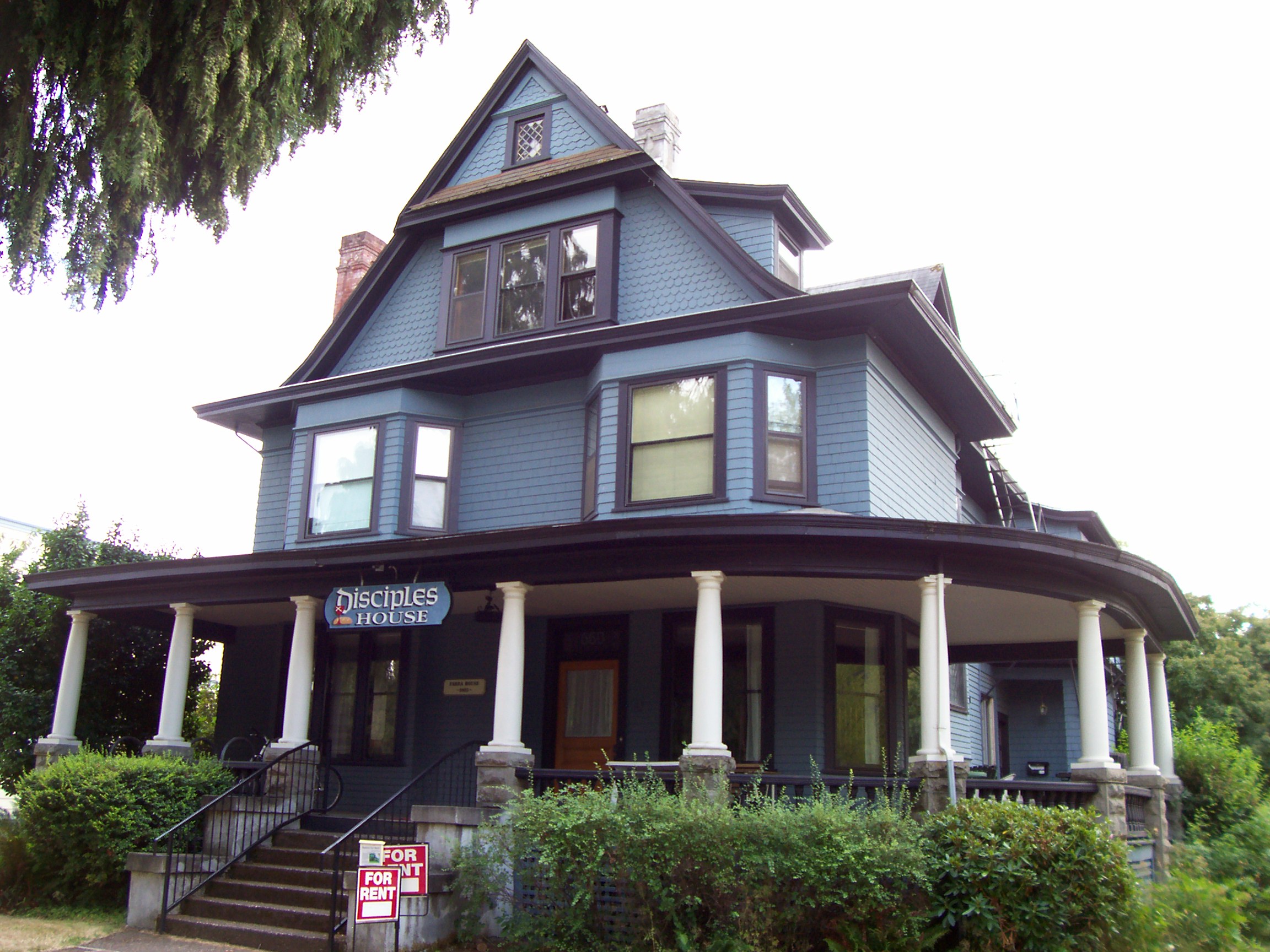
44°34′17″N 123°17′8″W / 44.57139°N 123.28556°WCorvallis 18 Dr. George R. Farra House 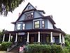
December 9, 1981 660 SW Madison Ave.
44°33′52″N 123°15′51″W / 44.56444°N 123.26417°WCorvallis 19 John Fiechter House 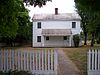
April 11, 1985 William L. Finley National Wildlife Refuge
44°25′44″N 123°18′19″W / 44.42889°N 123.30528°WCorvallis 20 First Congregational Church 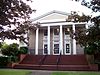
December 9, 1981 8th and Madison Sts.
44°33′53″N 123°15′55″W / 44.56472°N 123.26528°WCorvallis 21 Fort Hoskins Site 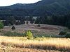
May 1, 1974 Address Restricted Kings Valley 22 Charles Gaylord House 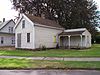
June 21, 1991 600 NW. Seventh St.
44°33′53″N 123°15′53″W / 44.56472°N 123.26472°WCorvallis 23 Hadley-Locke House 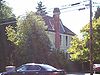
December 21, 1981 704 NW 9th St.
44°34′19″N 123°15′48″W / 44.57194°N 123.26333°WCorvallis 24 Harris Bridge 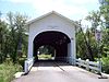
November 29, 1979 W of Wren
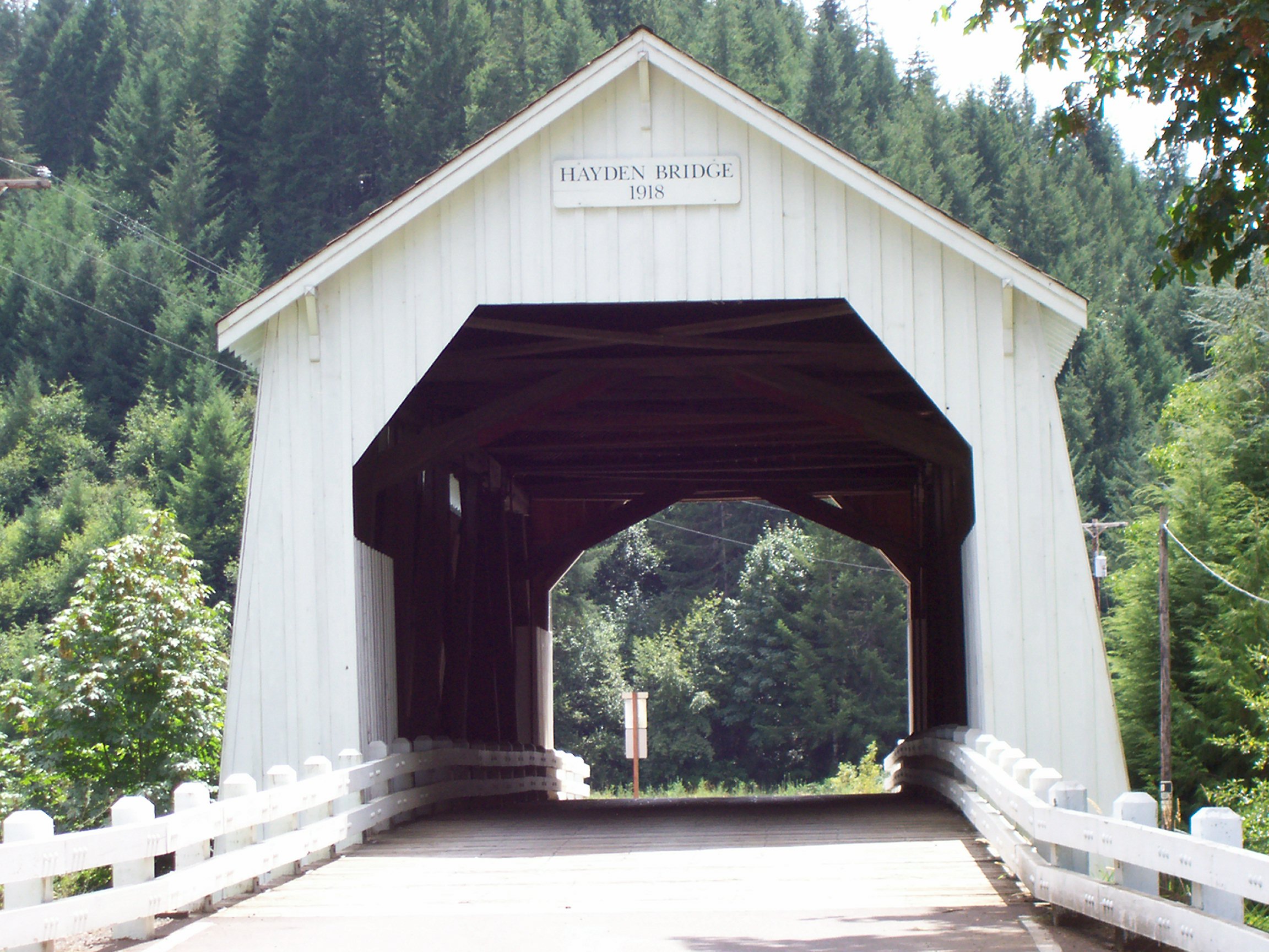
44°34′47″N 123°27′33″W / 44.57972°N 123.45917°WWren 25 Hayden Bridge 
November 29, 1979 W of Alsea
44°23′0″N 123°37′47″W / 44.383333°N 123.62972°WAlsea 26 Helm-Hout House 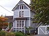
June 6, 1985 844 SW 5th St.
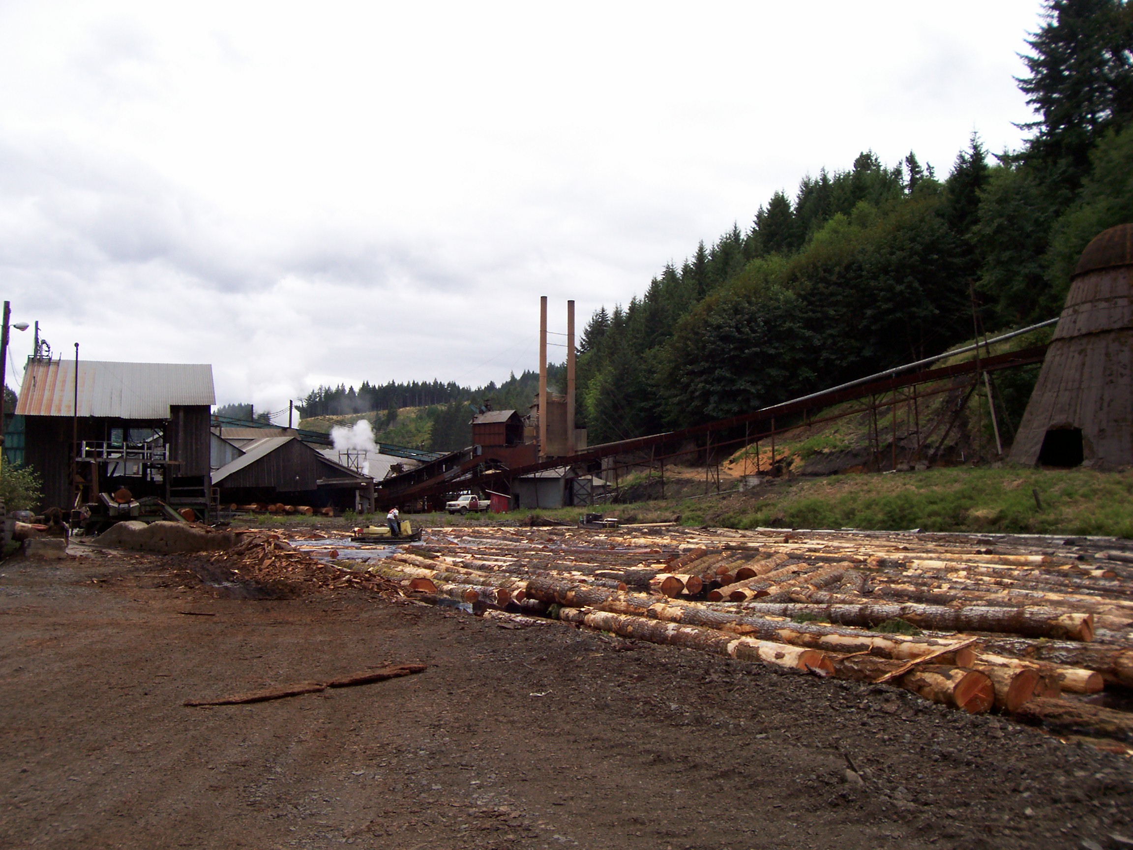
44°33′27″N 123°15′57″W / 44.5575°N 123.26583°WCorvallis 27 Hull-Oakes Lumber Company 
August 2, 1996 23837 Dawson Rd.
44°21′36″N 123°24′36″W / 44.36°N 123.41°WMonroe The last steam powered saw mill in the U.S. 28 Richard S. Irwin Barn 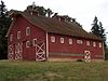
July 7, 1988 26208 Finley Refuge Rd.
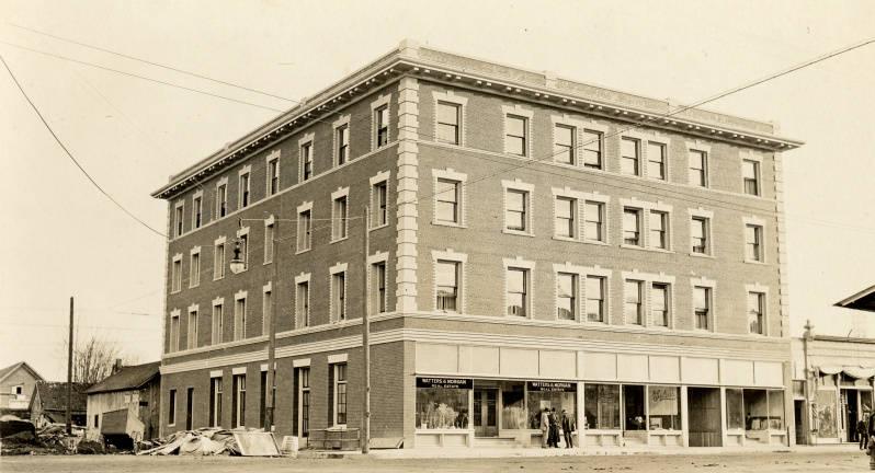
44°23′56″N 123°18′7″W / 44.39889°N 123.30194°WCorvallis 29 Julian Hotel 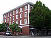
March 22, 1984 105 SW 2nd St.
44°33′50″N 123°15′30″W / 44.56389°N 123.25833°WCorvallis 30 Charles King House 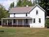
June 1, 1990 22930 Harris Rd.
44°34′49″N 123°27′35″W / 44.58028°N 123.45972°WWren 31 Isaac King House and Barn 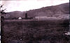
October 29, 1975 N of Philomath off OR 223
44°40′10″N 123°25′37″W / 44.66944°N 123.42694°WKings Valley 32 Lewis G. Kline Building 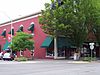
February 27, 1986 146 S.W. Second St.
44°33′48″N 123°15′33″W / 44.56333°N 123.25917°WCorvallis 33 Lewis G. Kline House 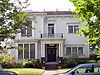
December 9, 1981 308 NW 8th St.
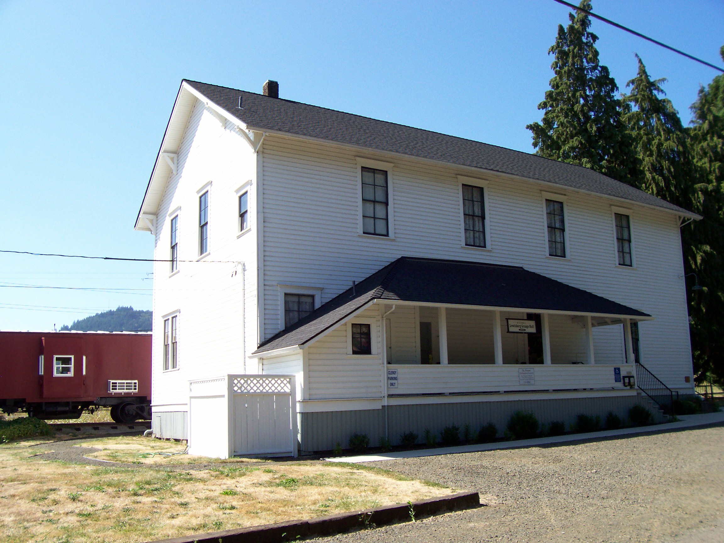
44°34′5″N 123°15′51″W / 44.56806°N 123.26417°WCorvallis 34 Lewisburg Hall and Warehouse Company Building 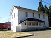
June 19, 1991 6000 NE. Elliott Cir.
44°37′54″N 123°14′21″W / 44.63167°N 123.23917°WLewisburg 35 Monroe State Bank Building 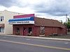
February 26, 1992 190 S. Fifth St.
44°18′51″N 123°17′46″W / 44.31417°N 123.29611°WMonroe 36 Oregon State University Historic District 
June 25, 2008 Monroe and Orchard Ave., 30th St., Washington Wy., Jefferson Ave., 11th St. Corvallis 37 Dr. Henry S. Pernot House 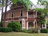
April 29, 1982 242 SW 5th St.
44°33′48″N 123°15′46″W / 44.56333°N 123.26278°WCorvallis 38 Philomath College 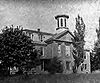
December 11, 1972 Main St.
44°32′30″N 123°22′10″W / 44.54167°N 123.36944°WPhilomath 39 Pi Beta Phi Sorority House 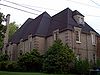
June 14, 1982 3002 NW Harrison Blvd.
44°34′19″N 123°17′0″W / 44.57194°N 123.283333°WCorvallis 40 Poultry Building and Incubator House 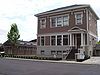
August 16, 2006 800 SW Washington Ave.
44°33′42″N 123°16′1″W / 44.56167°N 123.26694°WCorvallis 41 Peter Rickard Farmstead 
September 15, 1983 SW of Corvallis
44°26′53″N 123°21′15″W / 44.44806°N 123.35417°WCorvallis 42 Charles L. Schuster House 
October 9, 1986 228 N.W. Twenty-eighth
44°34′19″N 123°16′53″W / 44.57194°N 123.28139°WCorvallis 43 Soap Creek School 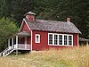
June 19, 1991 37465 Soap Creek Rd.
44°39′37″N 123°16′42″W / 44.66028°N 123.27833°WCorvallis 44 Edwin and Anna Starr House 
October 9, 1986 26845 McFarland Rd.
44°22′9″N 123°19′11″W / 44.36917°N 123.31972°WMonroe 45 George Taylor House 
December 9, 1981 504 NW 6th St.
44°34′10″N 123°15′39″W / 44.56944°N 123.26083°WCorvallis AKA "Oliver House" 46 Jack Taylor House 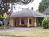
December 9, 1981 806 SW 5th St.
44°33′29″N 123°15′56″W / 44.55806°N 123.26556°WCorvallis 47 Watson-Price Farmstead 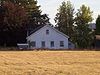
June 30, 2005 23380 Hoskins Rd.
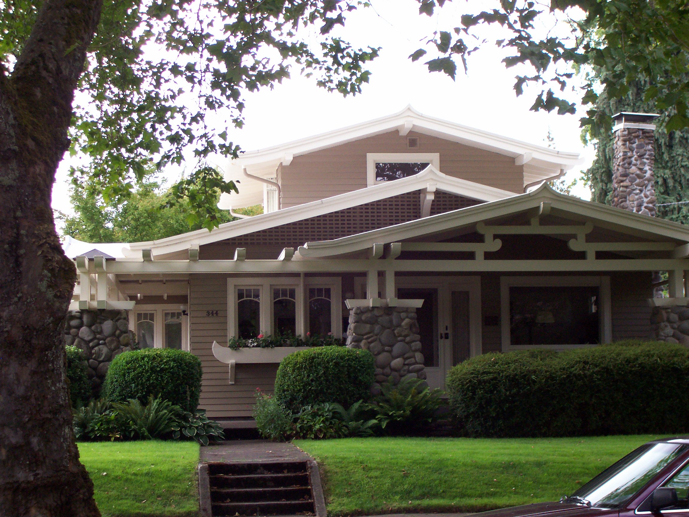
44°40′22″N 123°26′47″W / 44.67278°N 123.44639°WKings Valley Built 1848, one of ten entries on the Historic Preservation League of Oregon's Most Endangered Places in Oregon 2011 list.[1] 48 Charles and Ibby Whiteside House 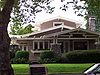
August 2, 2007 344 SW 7th St.
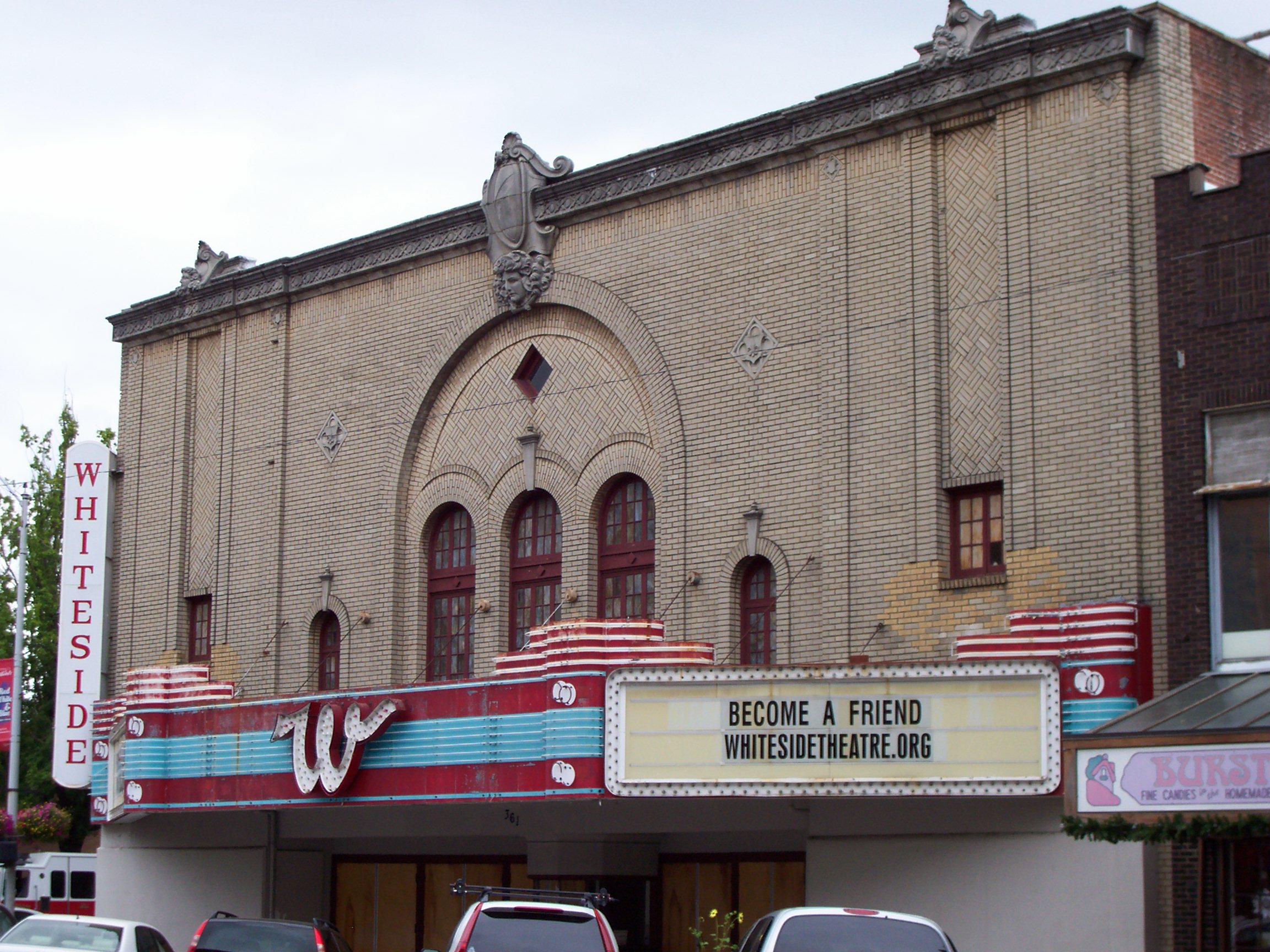
44°33′46″N 123°15′56″W / 44.56278°N 123.26556°WCorvallis 49 Whiteside Theatre 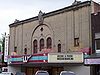
February 25, 2009 361 SW Madison Ave. Corvallis 50 Willamette Community and Grange Hall[2] 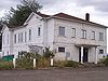
May 28, 2009[2] 27555 Greenberry Road[2]
44°27′23.55″N 123°18′26.85″W / 44.4565417°N 123.3074583°W[3]Corvallis vicinity[2] 51 Willamette Valley and Coast Railroad Depot – Corvallis 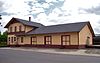
February 21, 1997 500 SW 7th St.
44°33′41.2″N 123°16′2.9″W / 44.561444°N 123.267472°WCorvallis 52 James O. Wilson House 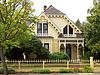
November 6, 1980 340 SW 5th St.
44°33′44″N 123°15′48″W / 44.56222°N 123.26333°WCorvallis 53 Elias Woodward House 
August 11, 1983 442 NW 4th St.
44°34′7″N 123°15′32″W / 44.56861°N 123.25889°WCorvallis References
- ^ "Most Endangered Places 2011 - Watson-Price Barn". Historic Preservation League of Oregon. 2011. http://www.historicpreservationleague.org/mep_WatsonPriceBarn.php. Retrieved 5 June 2011.
- ^ a b c d National Park Service (2009-06-05). "Weekly List of Actions Taken on Properties: 5/26/09 through 5/29/09". http://www.nps.gov/history/nr/listings/20090605.htm. Retrieved 2009-06-05.
- ^ Coordinates based on a Google Earth search for the given address.
U.S. National Register of Historic Places in Oregon Lists by county Baker • Benton • Clackamas • Clatsop • Columbia • Coos • Crook • Curry • Deschutes • Douglas • Gilliam • Grant • Harney • Hood River • Jackson • Jefferson • Josephine • Klamath • Lake • Lane • Lincoln • Linn • Malheur • Marion • Morrow • Multnomah: Portland North • Multnomah: Portland Northeast • Multnomah: Portland Northwest • Multnomah: Portland Southeast • Multnomah: Portland Southwest • Multnomah: Other • Polk • Sherman • Tillamook • Umatilla • Union • Wallowa • Wasco • Washington • Wheeler • Yamhill
Other lists Keeper of the Register • History of the National Register of Historic Places • Property types • Historic district • Contributing property Categories:- National Register of Historic Places in Benton County, Oregon
- Benton County, Oregon


Wikimedia Foundation. 2010.