- National Register of Historic Places listings in Benton County, Arkansas
-
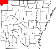
 Location of Benton County in Arkansas
This is a list of the National Register of Historic Places listings in Benton County, Arkansas.
This is intended to be a complete list of the properties and districts on the National Register of Historic Places in Benton County, Arkansas, United States. The locations of National Register properties and districts for which the latitude and longitude coordinates are included below, may be seen in a Google map.[1]
There are 149 properties and districts listed on the National Register in the county. Another property was once listed but has been removed.
Contents: Counties in Arkansas Arkansas - Ashley - Baxter - Benton - Boone - Bradley - Calhoun - Carroll - Chicot - Clark - Clay - Cleburne - Cleveland - Columbia - Conway - Craighead - Crawford - Crittenden - Cross - Dallas - Desha - Drew - Faulkner - Franklin - Fulton - Garland - Grant - Greene - Hempstead - Hot Spring - Howard - Independence - Izard - Jackson - Jefferson - Johnson - Lafayette - Lawrence - Lee - Lincoln - Little River - Logan - Lonoke - Madison - Marion - Miller - Mississippi - Monroe - Montgomery - Nevada - Newton - Ouachita - Perry - Phillips - Pike - Poinsett - Polk - Pope - Prairie - Pulaski (Little Rock) - Randolph - St. Francis - Saline - Scott - Searcy - Sebastian - Sevier - Sharp - Stone - Union - Van Buren - Washington - White - Woodruff - Yell
-
- This National Park Service list is complete through NPS recent listings posted November 10, 2011.[2]
Current listings
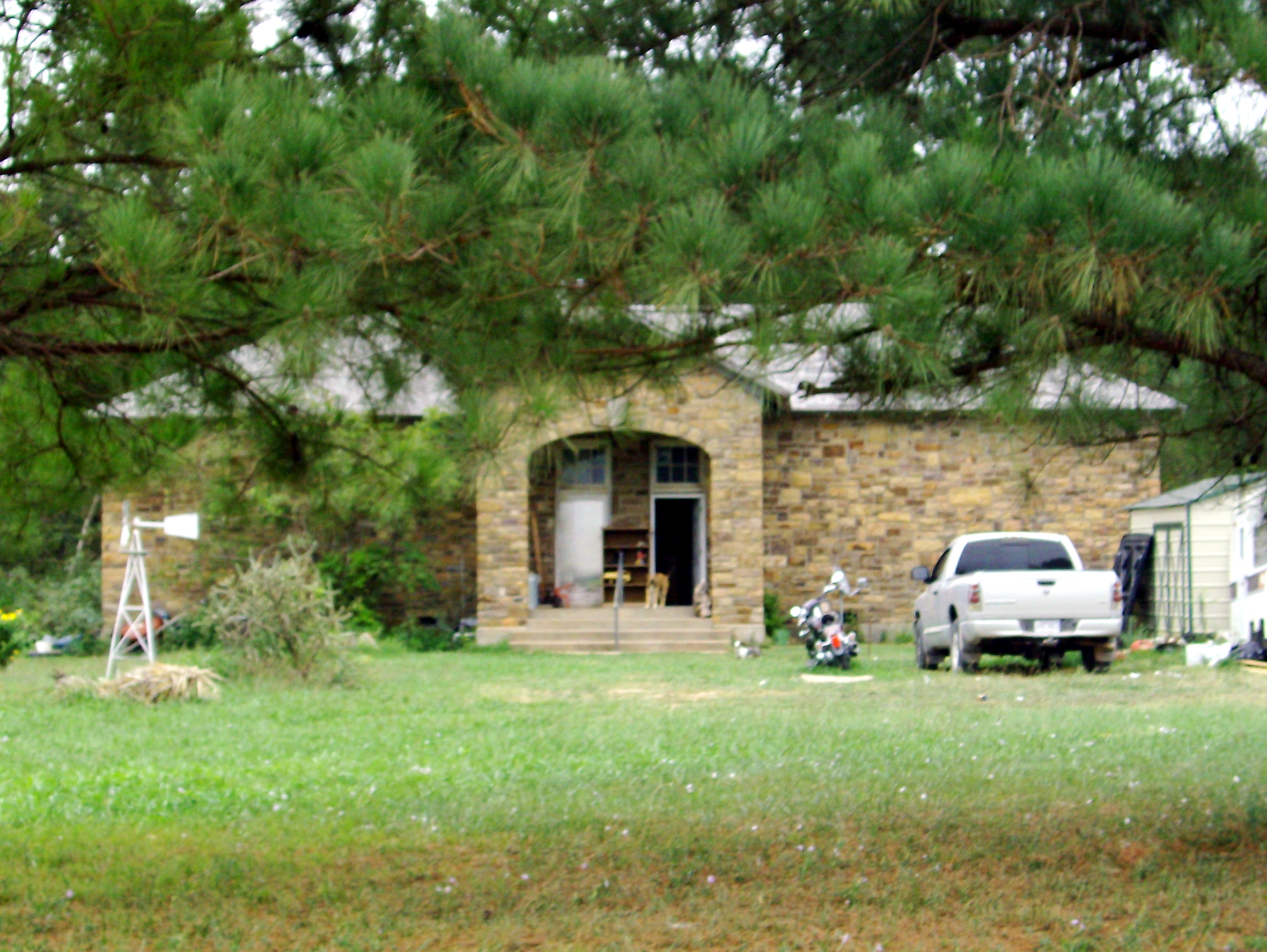
[3] Landmark name [4] Image Date listed Location City or town Summary 1 Adar House March 25, 1988 Off Highway 59
36°29′30″N 94°28′30″W / 36.491667°N 94.475°WSulphur Springs 2 Alden House January 28, 1988 Route 1
36°17′24″N 94°16′23″W / 36.29°N 94.273056°WBentonville 3 Alfrey-Brown House October 4, 1984 1001 S. Washington St.
36°10′25″N 94°32′11″W / 36.173611°N 94.536389°WSiloam Springs 4 Applegate Drugstore June 23, 1982 116 1st St.
36°19′57″N 94°06′58″W / 36.3325°N 94.116111°WRogers 5 Bank of Gentry 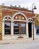
January 28, 1988 Main St.
36°16′03″N 94°28′58″W / 36.2675°N 94.482778°WGentry 6 Bank of Rogers Building June 23, 1980 114 S. 1st St.
36°19′57″N 94°06′58″W / 36.3325°N 94.116111°WRogers 7 Banks House January 28, 1988 Highway 72, west of Hiwasse
36°25′55″N 94°20′48″W / 36.431944°N 94.346667°WHiwasse 8 Fred Bartell House January 28, 1988 324 E. Twin Springs St.
36°10′57″N 94°32′19″W / 36.1825°N 94.538611°WSiloam Springs 9 Beasley Homestead January 28, 1988 U.S. Route 71
36°13′11″N 94°08′12″W / 36.219722°N 94.136667°WBethel Heights 10 Bella Vista Water Tank August 14, 1992 Junction of Suits Us Dr. and Pumpkin Hollow Rd.
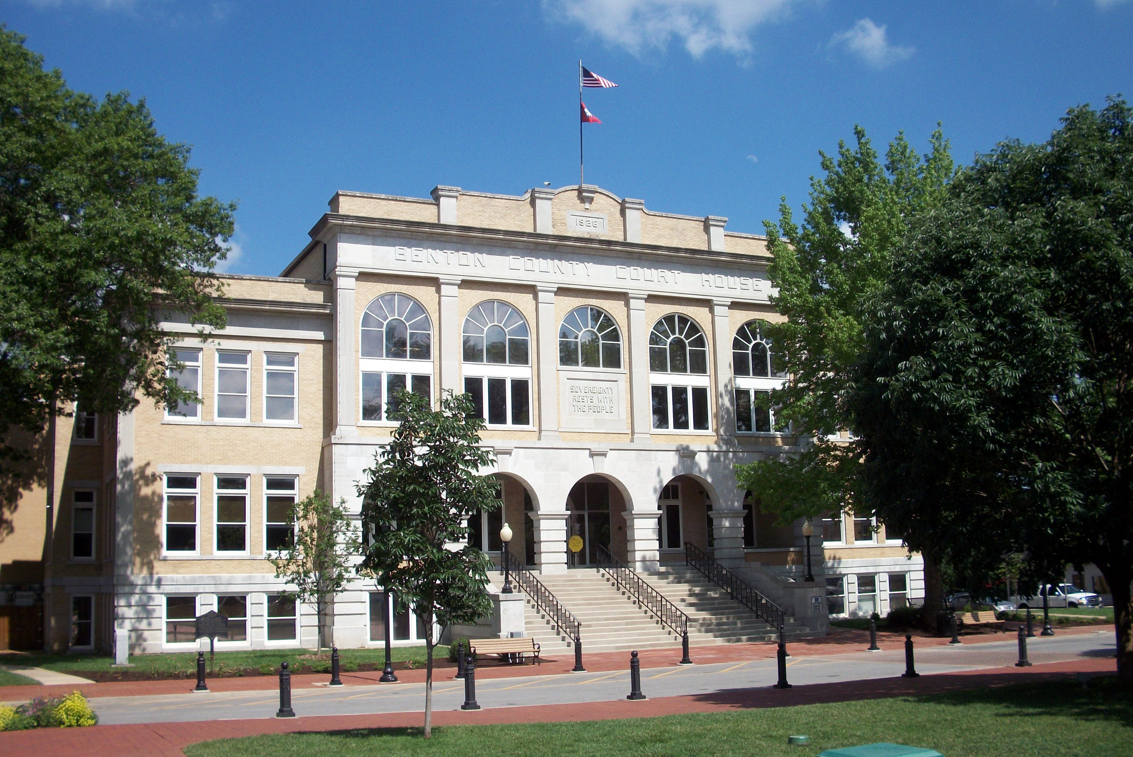
36°25′43″N 94°14′47″W / 36.428611°N 94.246389°WBella Vista 11 Benton County Courthouse 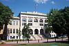
January 28, 1988 106 SE. A St.
36°22′21″N 94°12′27″W / 36.3725°N 94.2075°WBentonville 12 Benton County Jail January 28, 1988 212 N. Main St.
36°22′25″N 94°12′30″W / 36.373611°N 94.208333°WBentonville 13 Benton County National Bank September 1, 1983 123 W. Central
36°22′19″N 94°12′34″W / 36.371944°N 94.209444°WBenton City 14 Benton County Poor Farm Cemetery May 20, 2008 Western side of NE. Young Ave., approximately 200 feet north of NE. Carnahan Ct.
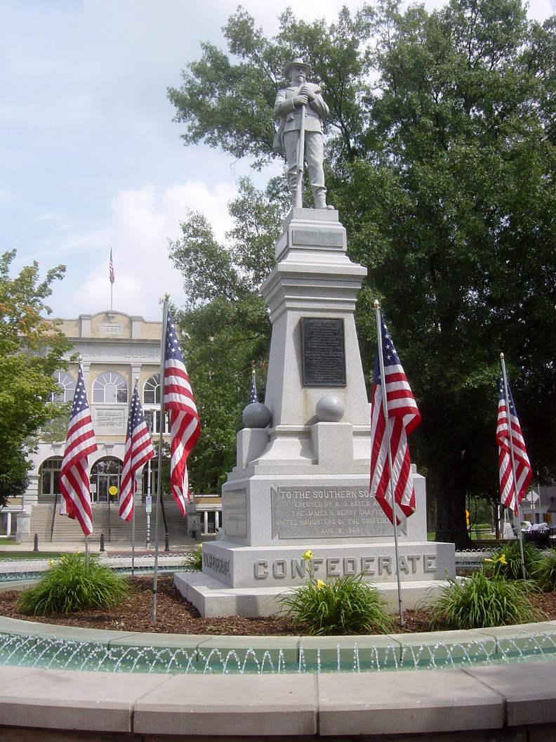
36°23′27″N 94°11′58″W / 36.390869°N 94.199519°WBentonville 15 Bentonville Confederate Monument 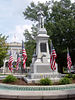
April 26, 1996 Public Sq. Park., near the junction of 2nd and Main Sts.
36°22′19″N 94°12′25″W / 36.371944°N 94.206944°WBentonville 16 Bentonville High School January 28, 1988 410 N.W. 2nd St.
36°22′25″N 94°12′49″W / 36.373611°N 94.213611°WBentonville Built in 1928; Spanish Colonial, Mission and Mediterranean style elements; currently known as Old High Middle School 17 Bentonville Third Street Historic District November 12, 1993 Roughly 3rd St., SE. from Main St. to C St., SE.
36°22′10″N 94°12′25″W / 36.369444°N 94.206944°WBentonville 18 Bentonville Train Station January 28, 1988 414 S. Main St.
36°22′01″N 94°12′33″W / 36.366944°N 94.209167°WBentonville 19 Bentonville West Central Avenue Historic District October 22, 1992 W. Central Ave. between SW. A and SW. G Sts.
36°22′20″N 94°12′54″W / 36.372222°N 94.215°WBentonville 20 Bertschy House January 28, 1988 507 N.W. 5th St.
36°22′39″N 94°12′56″W / 36.3775°N 94.215556°WBentonville 21 Blackburn House January 28, 1988 220 N. 4th St.
36°20′06″N 94°07′11″W / 36.335°N 94.119722°WRogers 22 Blackwell-Paisley Cabin January 28, 1988 Suits-Us Dr.
36°25′49″N 94°13′59″W / 36.430278°N 94.233056°WBella Vista 23 Blake House January 28, 1988 211 SE. A St.
36°22′12″N 94°12′26″W / 36.37°N 94.207222°WBentonville 24 Bogan Cabin January 28, 1988 Cedarcrest Mountain
36°25′40″N 94°14′02″W / 36.427778°N 94.233889°WBella Vista 25 Bogart Hardware Building January 28, 1988 112 E. Central
36°22′20″N 94°12′29″W / 36.372222°N 94.208056°WBentonville 26 Bolin Barn and Smokehouse January 28, 1988 Southeast of Gravette on Spavinaw Creek Rd.
36°23′55″N 94°23′11″W / 36.398611°N 94.386389°WGravette 27 Braithwaite House January 28, 1988 Old Bella Vista Highway
36°23′23″N 94°13′02″W / 36.389722°N 94.217222°WBentonville 28 Bratt-Smiley House January 28, 1988 University and Broadway
36°11′13″N 94°32′26″W / 36.186944°N 94.540556°WSiloam Springs 29 Breedlove House and Water Tower January 28, 1988 Route 4
36°22′13″N 94°10′37″W / 36.370278°N 94.176944°WBentonville 30 Bryan House No. 2 January 28, 1988 321 E. Locust St.
36°20′07″N 94°06′43″W / 36.335278°N 94.111944°WRogers 31 Camp Crowder Gymnasium September 23, 2011 205 Shiloh Dr.
36°28′44″N 94°27′27″W / 36.478889°N 94.4575°WSulphur Springs 32 Campbell House January 28, 1988 714 W. 3rd St.
36°19′38″N 94°07′10″W / 36.327222°N 94.119444°WRogers 33 Carl House January 28, 1988 70 Main St.
36°16′02″N 94°29′06″W / 36.267222°N 94.485°WGentry 34 Carl's Addition Historic District July 17, 1997 Along S. College, W. Alpine, and S. Wright Sts., bounded by Sager Creek and W. Twin Springs Ave.
36°11′01″N 94°32′33″W / 36.183611°N 94.5425°WSiloam Springs 35 Coal Gap School September 4, 1992 County Road 920
36°21′55″N 93°55′26″W / 36.365278°N 93.923889°WLarue 36 Coats School January 28, 1988 Spavinaw Creek Rd.
36°21′08″N 94°34′04″W / 36.352222°N 94.567778°WMaysville 37 Connelly-Harrington House January 28, 1988 115 E. University
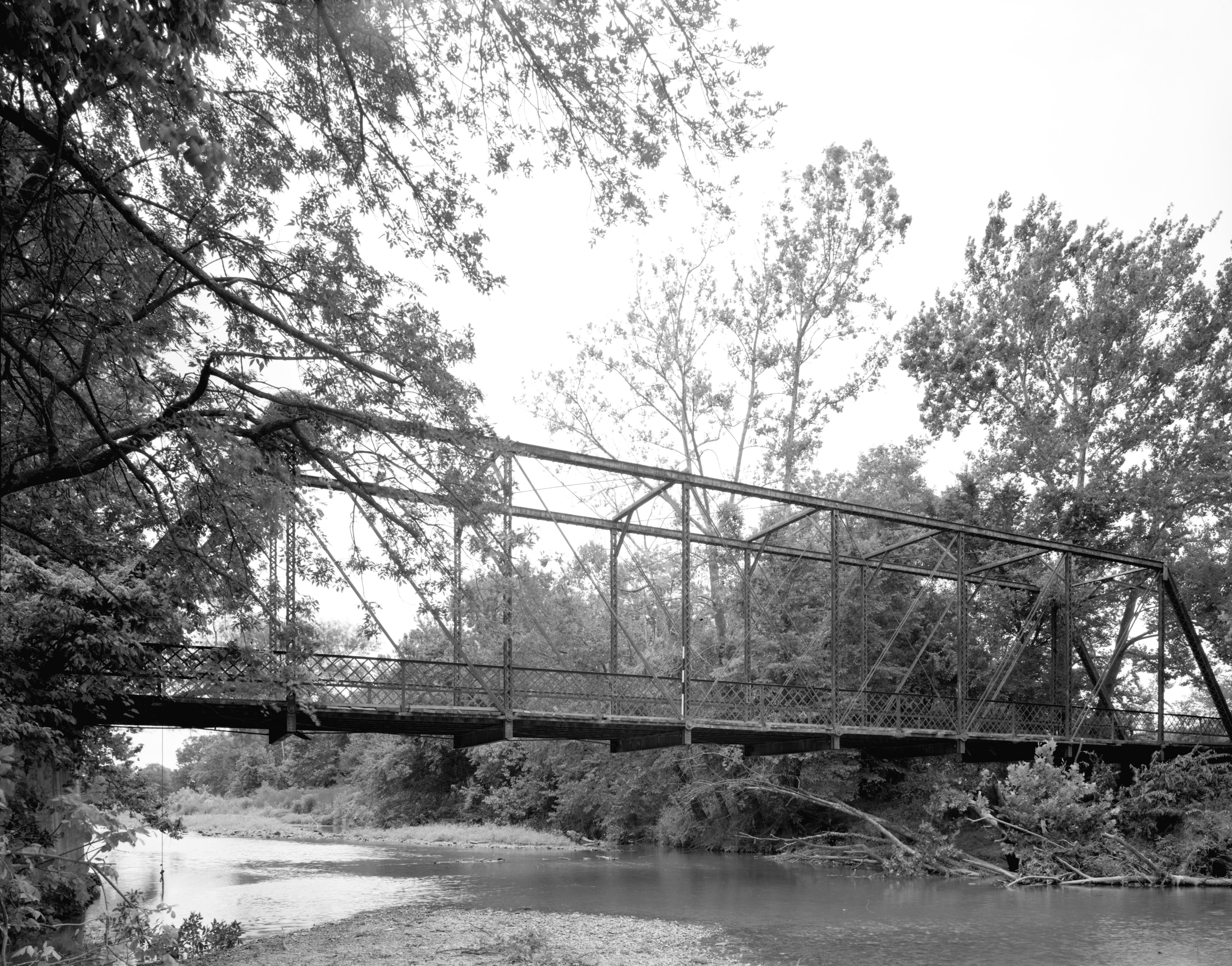
36°11′14″N 94°32′26″W / 36.187222°N 94.540556°WSiloam Springs 38 Coon Creek Bridge January 24, 2007 County Road 24
36°19′29″N 94°33′14″W / 36.324722°N 94.553889°WCherokee City 39 Council Grove Methodist Church January 28, 1988 Osage Mills Rd.
36°16′53″N 94°16′05″W / 36.281389°N 94.268056°WOsage Mills 40 Charles R. Craig Building September 27, 2003 113 S. Main St.
36°22′16″N 94°12′30″W / 36.371111°N 94.208333°WBentonville 41 Craig-Bryan House January 28, 1988 307 W. Central
36°22′19″N 94°12′44″W / 36.371944°N 94.212222°WBentonville 42 Daniels House January 28, 1988 902 E. Central
36°22′17″N 94°11′57″W / 36.371389°N 94.199167°WBentonville 43 Deaton Cabin January 28, 1988 Suits Us Rd.
36°25′49″N 94°13′59″W / 36.430278°N 94.233056°WBella Vista 44 Douglas House January 28, 1988 8 miles off of Highway 12
36°15′20″N 94°20′10″W / 36.255556°N 94.336111°WVaughn 45 Drane House January 28, 1988 1004 S. 1st St.
36°19′24″N 94°07′02″W / 36.323333°N 94.117222°WRogers 46 Duckworth-Williams House January 28, 1988 103 S. College
36°11′06″N 94°32′34″W / 36.185°N 94.542778°WSiloam Springs 47 Elliott House January 20, 1978 303 SE. 3rd St.
36°22′11″N 94°12′17″W / 36.369722°N 94.204722°WBentonville 48 First National Bank January 28, 1988 109 E. University
36°11′10″N 94°32′26″W / 36.186111°N 94.540556°WSiloam Springs 49 Freeman-Felker House January 28, 1988 318 W. Elm St.
36°19′55″N 94°07′11″W / 36.331944°N 94.119722°WRogers 50 Gailey Hollow Farmstead January 28, 1988 ¼ mile east of the Logan intersection
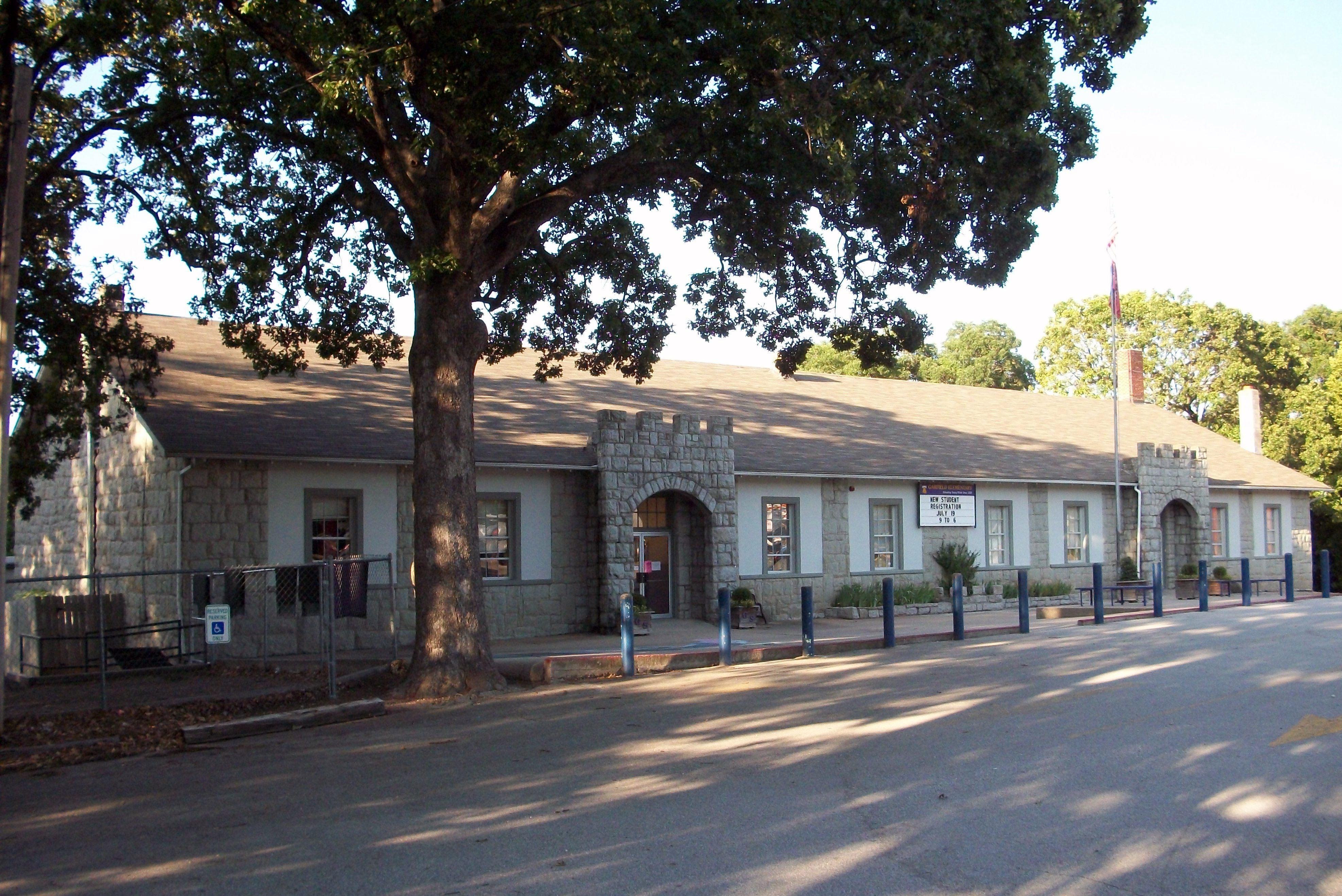
36°12′42″N 94°22′56″W / 36.211667°N 94.382222°WLogan 51 Garfield Elementary School 
June 28, 1996 U.S. Route 62 near its junction with Highway 127
36°26′55″N 93°58′17″W / 36.448611°N 93.971389°WGarfield 52 German Builder's House January 28, 1988 315 E. Central
36°11′07″N 94°32′20″W / 36.185278°N 94.538889°WSiloam Springs 53 Goforth-Saindon Mound Group January 23, 1986 Address Restricted Siloam Springs 54 Grand Army of the Republic Memorial May 3, 1996 Southern end of Twin Springs Park, east of the junction of Highway 43 and Twin Springs St.
36°10′59″N 94°32′25″W / 36.183056°N 94.540278°WSiloam Springs 55 Green Barn January 28, 1988 McClure St.
36°15′25″N 94°07′27″W / 36.256944°N 94.124167°WLowell 56 Gypsy Camp Historic District January 28, 1988 Off Highway 59
36°06′43″N 94°31′29″W / 36.111944°N 94.524722°WSiloam Springs 57 Hagler-Cole Cabin January 28, 1988 Mt. Pisqua Dr.
36°25′45″N 94°13′25″W / 36.429167°N 94.223611°WBella Vista 58 Henry Furniture Store Building July 15, 1994 107 W. University
36°11′10″N 94°32′30″W / 36.186111°N 94.541667°WSiloam Springs 59 Henry-Thompson House January 28, 1988 302 SE. 2nd St.
36°22′16″N 94°12′21″W / 36.371111°N 94.205833°WBentonville 60 Hiwasse Bank Building January 28, 1988 Main St., Highway 279
36°25′53″N 94°20′02″W / 36.431389°N 94.333889°WHiwasse 61 House at 305 E. Ashley January 28, 1988 305 E. Ashley
36°11′13″N 94°32′16″W / 36.186944°N 94.537778°WSiloam Springs 62 Illinois River Bridge (Pedro) January 19, 2005 County Road 196 (Kincheloe Rd.) approximately 0.25 miles south of Old Highway 68
36°10′39″N 94°23′31″W / 36.1775°N 94.391944°WPedro 63 Illinois River Bridge (Siloam Springs) 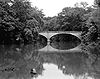
January 28, 1988 6 miles east of Siloam Springs
36°09′59″N 94°26′01″W / 36.166389°N 94.433611°WSiloam Springs 64 Jackson House January 28, 1988 207 W. Central
36°22′19″N 94°12′40″W / 36.371944°N 94.211111°WBentonville 65 James House January 28, 1988 Route 2
36°18′27″N 94°12′29″W / 36.3075°N 94.208056°WRogers 66 Jones House January 28, 1988 220 Bush St.
36°28′48″N 94°27′34″W / 36.48°N 94.459444°WSulphur Springs 67 Charles Juhre House February 25, 1993 406 N. 4th St.
36°20′12″N 94°07′10″W / 36.336667°N 94.119444°WRogers 68 Kansas City Southern Railway Caboose No. 383 September 23, 2010 Northwest of the Arkansas Highway 72 and Arkansas Highway 59 intersection
36°25′17″N 94°27′12″W / 36.421389°N 94.453333°WGravette 69 Kansas City Southern Railway Locomotive #73D and Caboose #385 February 21, 2006 Highway 59 south of Church Ave.
36°20′13″N 94°27′40″W / 36.336944°N 94.461111°WDecatur 70 Kansas City-Southern Depot-Decatur June 11, 1992 Highway 59
36°20′07″N 94°27′39″W / 36.335278°N 94.460833°WDecatur 71 Kefauver House January 28, 1988 224 W. Cherry St.
36°19′47″N 94°07′08″W / 36.329722°N 94.118889°WRogers 72 Kindley House January 28, 1988 503 Charlotte St.
36°25′09″N 94°26′52″W / 36.419167°N 94.447778°WGravette 73 Koons House January 22, 1988 409 5th St.
36°22′39″N 94°12′52″W / 36.3775°N 94.214444°WBentonville 74 Lakeside Hotel November 15, 1979 119 W. University St.
36°11′10″N 94°32′30″W / 36.186111°N 94.541667°WSiloam Springs 75 Lamberton Cabin January 28, 1988 8 N. Mountain
36°26′07″N 94°13′30″W / 36.435278°N 94.225°WBella Vista 76 Lane Hotel January 28, 1988 121 W. Poplar St.
36°19′52″N 94°07′02″W / 36.331111°N 94.117222°WRogers 77 Lillard-Sprague House January 28, 1988 Pleasant Grove Rd.
36°17′22″N 94°11′21″W / 36.289444°N 94.189167°WRogers 78 Linebarger House January 28, 1988 606 W. Central
36°22′21″N 94°12′58″W / 36.3725°N 94.216111°WBentonville 79 Macon-Harrison House January 28, 1988 209 NE. 2nd St.
36°22′23″N 94°12′21″W / 36.373056°N 94.205833°WBentonville 80 Markey House January 28, 1988 Route 1
36°25′39″N 93°57′16″W / 36.4275°N 93.954444°WGarfield 81 Massey Hotel December 1, 1978 U.S. Route 71
36°22′19″N 94°12′35″W / 36.371944°N 94.209722°WBentonville 82 Maxwell-Hinman House January 28, 1988 902 N.W. 2nd St.
36°22′23″N 94°13′18″W / 36.373056°N 94.221667°WBentonville 83 Maxwell-Sweet House January 28, 1988 114 S. College
36°11′05″N 94°32′35″W / 36.184722°N 94.543056°WSiloam Springs 84 McCleod House January 28, 1988 Route 1
36°16′05″N 94°09′50″W / 36.268056°N 94.163889°WSpringdale 85 McIntyre House January 28, 1988 Logan Rd.
36°12′13″N 94°22′11″W / 36.203611°N 94.369722°WLogan 86 Merrill House January 28, 1988 617 S. 6th
36°19′42″N 94°07′22″W / 36.328333°N 94.122778°WRogers 87 Miller Homestead January 28, 1988 ½ mile east of Highway 94
36°26′29″N 94°06′17″W / 36.441389°N 94.104722°WPea Ridge 88 Mitchell House January 28, 1988 115 N. Nelson
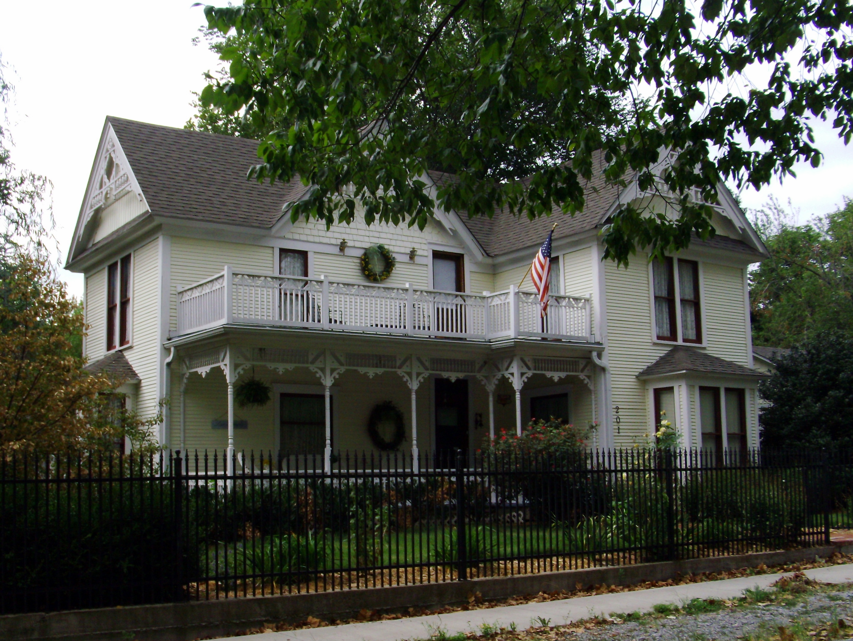
36°16′09″N 94°28′55″W / 36.269167°N 94.481944°WGentry 89 Mitchell-Ward House 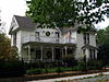
June 1, 2005 201 N. Nelson
36°16′16″N 94°29′04″W / 36.271111°N 94.484444°WGentry 90 Monte Ne 
February 17, 1978 Off Highway 94
36°16′59″N 94°04′22″W / 36.283056°N 94.072778°WMonte Ne 91 Morris House January 28, 1988 407 S.W. 4th St.
36°22′04″N 94°12′48″W / 36.367778°N 94.213333°WBentonville 92 Mt. Hebron M.E. Church South and Cemetery September 27, 2003 1079 Mt. Hebron Rd.
36°16′33″N 94°11′43″W / 36.275833°N 94.195278°WColville 93 Mutual Aid Union Building October 14, 1976 2nd and Poplar Sts.
36°19′53″N 94°07′04″W / 36.331389°N 94.117778°WRogers 94 Myler House January 28, 1988 315 N. 3rd St.
36°20′08″N 94°07′05″W / 36.335556°N 94.118056°WRogers 95 New Home School and Church January 28, 1988 South of Bella Vista on McKisic Creek Rd.
36°24′53″N 94°13′42″W / 36.414722°N 94.228333°WBella Vista 96 Norwood School 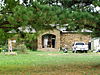
January 28, 1988 Norwood Rd. and Highway 16
36°07′05″N 94°27′58″W / 36.118056°N 94.466111°WNorwood 97 Oak Hill Mausoleum December 6, 1996 Oak Hill Cemetery, west of the junction of Benton St. and Highway 43
36°11′16″N 94°33′38″W / 36.187778°N 94.560556°WSiloam Springs 98 Oklahoma Row Hotel Site May 20, 1992 Highway 94 Spur at the shores of Beaver Lake
36°17′08″N 94°04′11″W / 36.285556°N 94.069722°WMonte Ne 99 Osage Creek Bridge 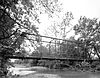
January 28, 1988 4½ miles north of Tontitown
36°14′26″N 94°15′12″W / 36.240556°N 94.253333°WTontitown 100 Osage Mills Dam January 28, 1988 North of Osage Mills on Little Osage Creek
36°17′40″N 94°16′03″W / 36.294444°N 94.2675°WOsage Mills 101 Parks-Reagan House January 28, 1988 410 W. Poplar St.
36°19′52″N 94°07′15″W / 36.331111°N 94.120833°WRogers 102 Pea Ridge Commercial Historic District May 22, 2007 Pickens St. roughly between Greene and Davis Sts., and Curtis Ave. roughly between Pike and Macintosh Sts.
36°27′20″N 94°06′52″W / 36.455556°N 94.114444°WPea Ridge 103 Pea Ridge National Military Park 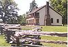
October 15, 1966 U.S. Route 62
36°26′12″N 94°1′35″W / 36.43667°N 94.02639°WPea Ridge 104 Col. Samuel W. Peel House May 4, 1995 400 S. Walton Boulevard
36°22′09″N 94°13′18″W / 36.369167°N 94.221667°WBentonville 105 Pharr Cabin January 28, 1988 2 N. Mountain
36°26′07″N 94°13′40″W / 36.435278°N 94.227778°WBella Vista 106 Piercy Farmstead January 28, 1988 Osage Mills Rd.
36°16′25″N 94°16′01″W / 36.273611°N 94.266944°WOsage Mills 107 Pinkston-Mays Store Building January 28, 1988 107-109 Lackston St.
36°15′24″N 94°07′51″W / 36.256667°N 94.130833°WLowell 108 Princedom Cabin January 28, 1988 Lookout Dr.
36°25′39″N 94°13′52″W / 36.4275°N 94.231111°WBella Vista 109 Putman Cemetery May 24, 2004 3504 Magellan Boulevard
36°20′11″N 94°11′17″W / 36.336389°N 94.188056°WBentonville 110 Pyeatte House November 29, 1995 311 S. Mt. Olive St.
36°10′53″N 94°32′29″W / 36.181389°N 94.541389°WSiloam Springs 111 Quell House January 28, 1988 222 S. Wright
36°11′01″N 94°32′32″W / 36.183611°N 94.542222°WSiloam Springs 112 Railroad Cottage 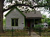
January 19, 2005 208 N. Rust
36°16′16″N 94°29′01″W / 36.271111°N 94.483611°WGentry 113 Raney House January 28, 1988 1331 Monte Ne
36°19′10″N 94°06′21″W / 36.319444°N 94.105833°WRogers 114 Reeves House September 7, 1995 321 S. Wright St.
36°10′58″N 94°32′30″W / 36.182778°N 94.541667°WSiloam Springs 115 Rice House January 28, 1988 501 NW. A St.
36°22′40″N 94°12′37″W / 36.377778°N 94.210278°WBentonville 116 James A. Rice House November 1, 1984 204 SE. 3rd St.
36°22′09″N 94°12′28″W / 36.369167°N 94.207778°WBentonville 117 Rife Farmstead January 28, 1988 Osage Mills Rd.
36°16′10″N 94°15′57″W / 36.269444°N 94.265833°WOsage Mills 118 Rife House January 28, 1988 1515 S. 8th St.
36°19′09″N 94°13′33″W / 36.319167°N 94.225833°WRogers 119 Rocky Branch School March 25, 1988 200 N. Highway 303
36°19′34″N 93°56′29″W / 36.326111°N 93.941389°WPrairie Creek 120 Rogers City Hall January 28, 1988 202 W. Elm St.
36°19′55″N 94°07′05″W / 36.331944°N 94.118056°WRogers 121 Rogers Post Office Building January 28, 1988 120 W. Poplar St.
36°19′51″N 94°07′02″W / 36.330833°N 94.117222°WRogers 122 Roy's Office Supply Building January 28, 1988 110 E. Central
36°22′20″N 94°12′30″W / 36.372222°N 94.208333°WBentonville 123 Simon Sager Cabin January 30, 1976 John Brown University campus
36°11′28″N 94°33′30″W / 36.191111°N 94.558333°WSiloam Springs 124 Sellers Farm January 28, 1988 Old highway on the state line
36°24′20″N 94°36′07″W / 36.405556°N 94.601944°WMaysville 125 Shady Grove School January 28, 1988 Highway 94
36°28′43″N 94°08′23″W / 36.478611°N 94.139722°WPea Ridge 126 Shiloh House January 28, 1988 Off Kibler St.
36°28′34″N 94°27′16″W / 36.476111°N 94.454444°WSulphur Springs 127 Shores Warehouse January 28, 1988 Main St.
36°15′44″N 94°13′55″W / 36.262222°N 94.231944°WCave Springs 128 Siloam Springs City Park January 28, 1988 Downtown Siloam Springs
36°11′06″N 94°32′31″W / 36.185°N 94.541944°WSiloam Springs 129 Siloam Springs Downtown Historic District May 26, 1995 Roughly bounded by Sager Creek, Ashley St., Madison Ave., and Twin Springs St.
36°11′06″N 94°32′25″W / 36.185°N 94.540278°WSiloam Springs 130 Smith House November 7, 1996 806 NW. A St.
36°22′51″N 94°12′33″W / 36.380833°N 94.209167°WBentonville 131 Springfield to Fayetteville Road-Cross Hollow Segment January 19, 2005 County Road 83 through Cross Hollow
36°15′54″N 94°07′03″W / 36.265°N 94.1175°WLowell 132 Springfield to Fayetteville Road-Elkhorn Tavern Segment May 26, 2005 Northwest of Elkhorn Tavern within Pea Ridge National Park
36°28′07″N 94°00′41″W / 36.468611°N 94.011389°WGarfield 133 Stack Barn January 28, 1988 Highway 94 Spur
36°17′38″N 94°02′57″W / 36.293889°N 94.049167°WMonte Ne 134 Stockton Building January 28, 1988 113 N. Broadway
36°11′08″N 94°32′24″W / 36.185556°N 94.54°WSiloam Springs 135 Stroud House January 28, 1988 204 S. 3rd St.
36°19′55″N 94°07′08″W / 36.331944°N 94.118889°WRogers 136 Stroud House May 10, 1996 Southeastern corner of the junction of SE. F St. and E. Central Ave.
36°22′18″N 94°12′04″W / 36.371667°N 94.201111°WBentonville 137 Sulphur Springs Old School Complex Historic District February 16, 2001 512 Black St.
36°28′39″N 94°27′41″W / 36.4775°N 94.461389°WSulphur Springs 138 Sulphur Springs Park Reserve July 8, 1999 Highway 59
36°28′59″N 94°27′21″W / 36.483056°N 94.455833°WSulphur Springs 139 Sutherlin Cabin January 28, 1988 4 N. Mountain
36°26′06″N 94°13′39″W / 36.435°N 94.2275°WBella Vista 140 Terry Block Building May 13, 1982 101-103 N. Main St.
36°22′21″N 94°12′32″W / 36.3725°N 94.208889°WBentonville 141 Thurmond House January 28, 1988 407 Britt
36°10′57″N 94°32′03″W / 36.1825°N 94.534167°WSiloam Springs 142 Van Winkle's Mill Site 
November 15, 2007 21392 E. Highway 12
36°17′04″N 93°54′20″W / 36.2845°N 93.9056°WRogers 143 Vinson House January 28, 1988 1016 S. 4th
36°19′28″N 94°07′14″W / 36.324444°N 94.120556°WRogers 144 Walnut Street Historic District January 28, 1988 Walnut St.; also roughly bounded by Walnut, 1st, Poplar, and 2nd Sts.; also 120 S. 2nd St.; also 116 S. 2nd St.
36°19′59″N 94°07′00″W / 36.333056°N 94.116667°WRogers Second, third, and fourth sets of boundaries represent boundary increases of September 30, 1993, December 9, 1998, and October 4, 2002. Increases are under the name of "Rogers Commercial Historic District". 145 War Eagle Bridge 
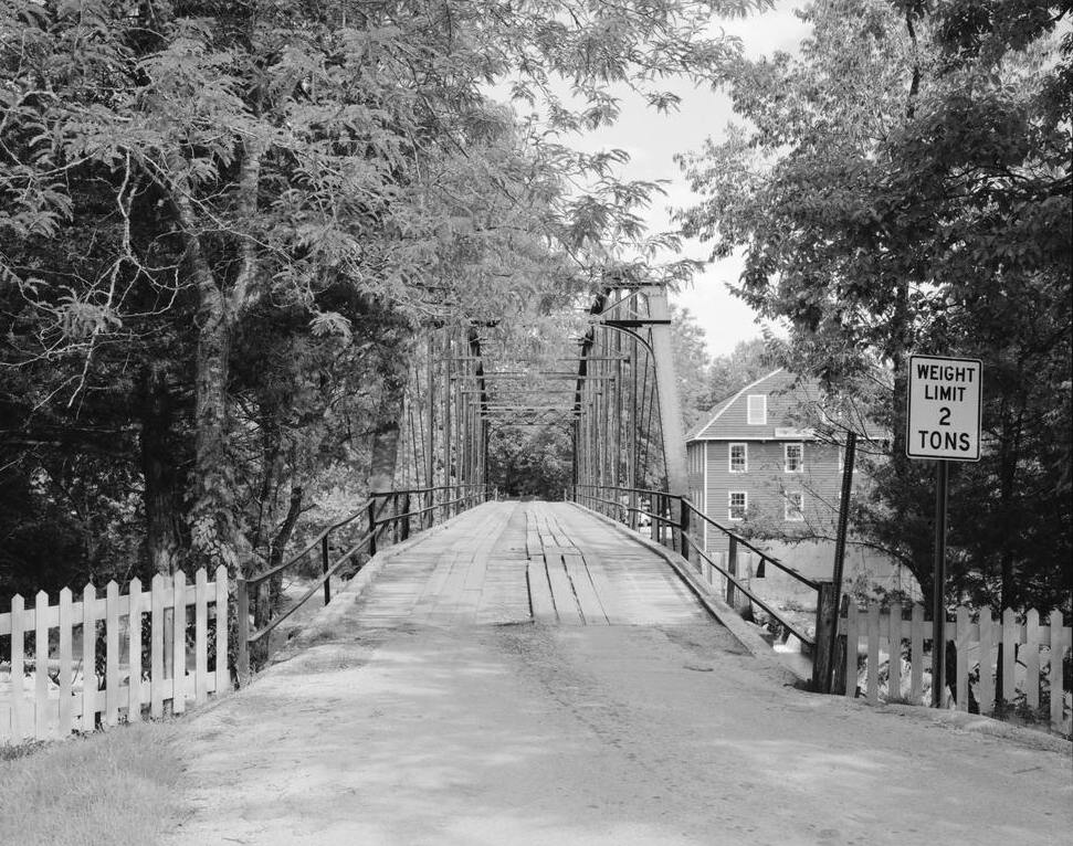
November 19, 1985 Carries County Road 98 over War Eagle Creek
36°16′02″N 93°56′35″W / 36.267222°N 93.943056°WWar Eagle 146 Wasson House January 28, 1988 Main St.
36°15′37″N 94°25′30″W / 36.260278°N 94.425°WSpringtown 147 Wee Pine Knot January 21, 1999 319 Spring St.
36°29′16″N 94°27′42″W / 36.487778°N 94.461667°WSulphur Springs 148 Wonderland Cave January 28, 1988 Dertmoor Rd.
36°26′08″N 94°13′24″W / 36.435556°N 94.223333°WBella Vista 149 Col. Young House January 28, 1988 1007 SE. 5th St.
36°22′04″N 94°11′51″W / 36.367778°N 94.1975°WBentonville Former listing
Landmark name Image Date removed Location City or Town Summary 1 Springfield to Fayetteville Road-Brightwater Segment October 7, 2009 N. Old Wire Rd./County Road 67, south of U.S. Route 62
36°26′7″N 94°2′26″W / 36.43528°N 94.04056°WBrightwater Listed January 19, 2005 See also
- List of National Historic Landmarks in Arkansas
- National Register of Historic Places listings in Arkansas
References
- ^ The latitude and longitude information provided in this table was derived originally from the National Register Information System, which has been found to be fairly accurate for about 99% of listings. For about 1% of NRIS original coordinates, experience has shown that one or both coordinates are typos or otherwise extremely far off; some corrections may have been made. A more subtle problem causes many locations to be off by up to 150 yards, depending on location in the country: most NRIS coordinates were derived from tracing out latitude and longitudes off of USGS topographical quadrant maps created under North American Datum of 1927, which differs from the current, highly accurate GPS system used by Google maps. Chicago is about right, but NRIS longitudes in Washington are higher by about 4.5 seconds, and are lower by about 2.0 seconds in Maine. Latitudes differ by about 1.0 second in Florida. Some locations in this table may have been corrected to current GPS standards.
- ^ "National Register of Historic Places: Weekly List Actions". National Park Service, United States Department of the Interior. Retrieved on November 10, 2011.
- ^ Numbers represent an ordering by significant words. Various colorings, defined here, differentiate National Historic Landmark sites and National Register of Historic Places Districts from other NRHP buildings, structures, sites or objects.
- ^ "National Register Information System". National Register of Historic Places. National Park Service. . http://nrhp.focus.nps.gov/natreg/docs/All_Data.html.
U.S. National Register of Historic Places Topics Lists by states Alabama • Alaska • Arizona • Arkansas • California • Colorado • Connecticut • Delaware • Florida • Georgia • Hawaii • Idaho • Illinois • Indiana • Iowa • Kansas • Kentucky • Louisiana • Maine • Maryland • Massachusetts • Michigan • Minnesota • Mississippi • Missouri • Montana • Nebraska • Nevada • New Hampshire • New Jersey • New Mexico • New York • North Carolina • North Dakota • Ohio • Oklahoma • Oregon • Pennsylvania • Rhode Island • South Carolina • South Dakota • Tennessee • Texas • Utah • Vermont • Virginia • Washington • West Virginia • Wisconsin • WyomingLists by territories Lists by associated states Other  Category:National Register of Historic Places •
  Portal:National Register of Historic Places
Municipalities and communities of Benton County, Arkansas County seat: Bentonville Cities Bentonville | Bethel Heights | Cave Springs | Centerton | Decatur | Elm Springs‡ | Gentry | Gravette | Little Flock | Lowell | Pea Ridge | Rogers | Siloam Springs | Springdale‡ | Sulphur Springs
Towns Avoca | Bella Vista | Garfield | Gateway | Highfill | Springtown
Townships 1 | 2 | 3 | 4 | 5 | 6 | 7 | 8 | 9 | 10 | 11 | 12 | 13
CDPs Cherokee City | Hiwasse | Lost Bridge Village | Maysville | Prairie Creek
Other
communitiesAccident | Apple Spur | Beacon Addition | Beaty | Beaver Shores | Bella Vista | Benton City | Blackjack Corner | Bland | Bloomfield | Brightwater | Clantonville | Clear Point | Creech | Cross Hollow | Dawn Hill | Dug Hill | Eagle Corner | Elkhorn Tavern | Fairmount | Falling Springs | Frisco | Gallatin | Glade | Green Acres | Healing Springs | Hickory Creek | Hico | Hill Top | Ionia | Lake Frances | Lakeland Hills | Larue | Leetown | Logan | Martin | Mason Valley | Miller | Monte Ne | Nebo | Norwood | Oak Grove | Osage Mills | Pedro | Pine Top | Pleasant Hill | Pleasant Ridge | Pleasure Heights | Rago | Rambo Riveria | Rivercliff Estates | Robinson | Rocky Comfort | Seba | Silent Grove | Spring Creek | Tanglewood | Twin Springs | Vaughn | Vista Shores | Walnut Hill | War Eagle | West Point
Ghost town Footnotes ‡This populated place also has portions in an adjacent county or counties
Categories:- Benton County, Arkansas
- National Register of Historic Places in Arkansas by county
-


Wikimedia Foundation. 2010.