- National Register of Historic Places listings in Washington County, Arkansas
-
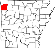
 Location of Washington County in Arkansas
This is a list of the National Register of Historic Places listings in Washington County, Arkansas.
This is intended to be a complete list of the properties and districts on the National Register of Historic Places in Washington County, Arkansas, United States. The locations of National Register properties and districts for which the latitude and longitude coordinates are included below, may be seen in a Google map.[1]
There are 119 properties and districts listed on the National Register in the county. Another property was once listed but has been removed.
Contents: Counties in Arkansas Arkansas - Ashley - Baxter - Benton - Boone - Bradley - Calhoun - Carroll - Chicot - Clark - Clay - Cleburne - Cleveland - Columbia - Conway - Craighead - Crawford - Crittenden - Cross - Dallas - Desha - Drew - Faulkner - Franklin - Fulton - Garland - Grant - Greene - Hempstead - Hot Spring - Howard - Independence - Izard - Jackson - Jefferson - Johnson - Lafayette - Lawrence - Lee - Lincoln - Little River - Logan - Lonoke - Madison - Marion - Miller - Mississippi - Monroe - Montgomery - Nevada - Newton - Ouachita - Perry - Phillips - Pike - Poinsett - Polk - Pope - Prairie - Pulaski (Little Rock) - Randolph - St. Francis - Saline - Scott - Searcy - Sebastian - Sevier - Sharp - Stone - Union - Van Buren - Washington - White - Woodruff - Yell
-
- This National Park Service list is complete through NPS recent listings posted November 10, 2011.[2]
Current listings
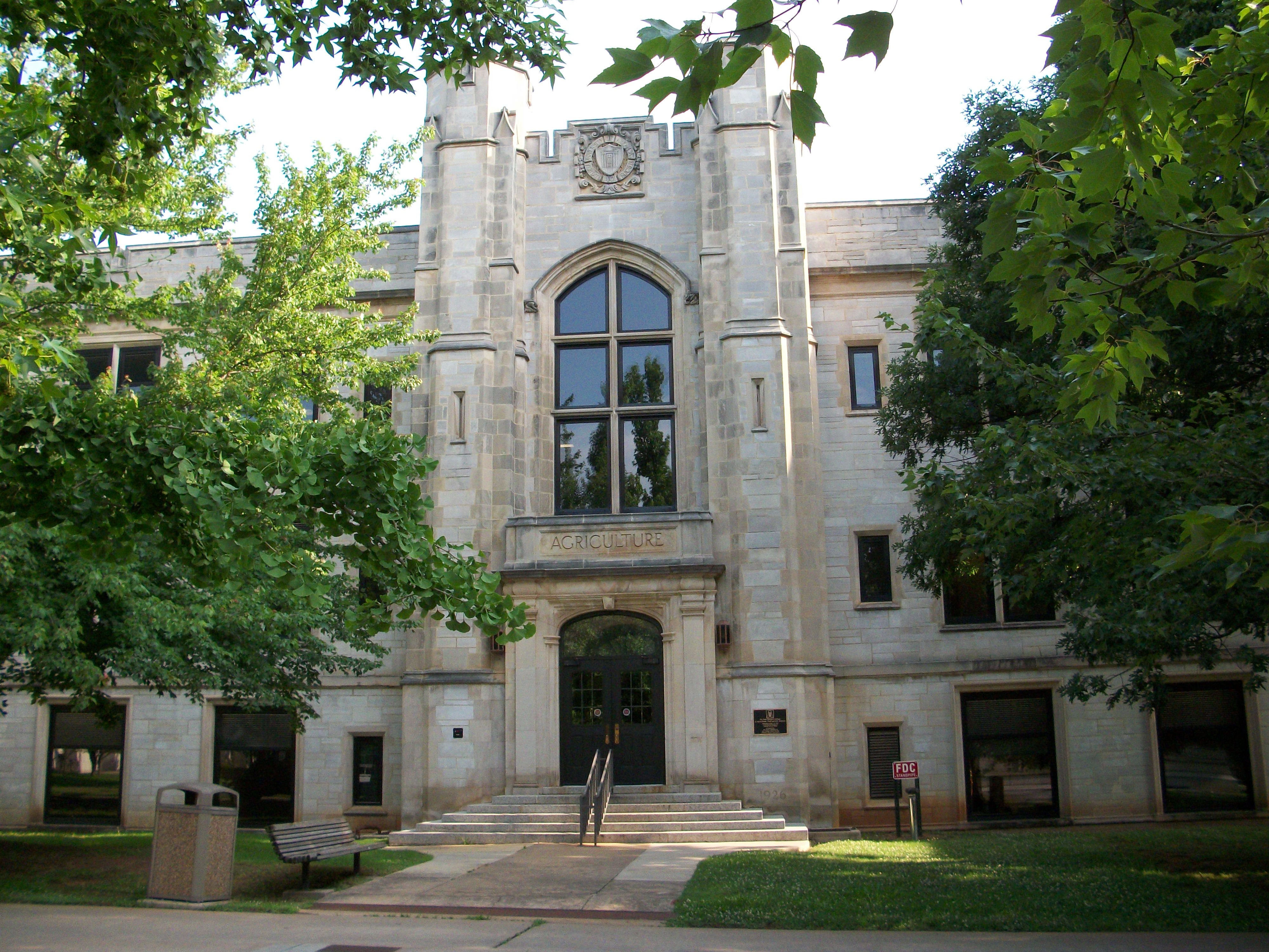
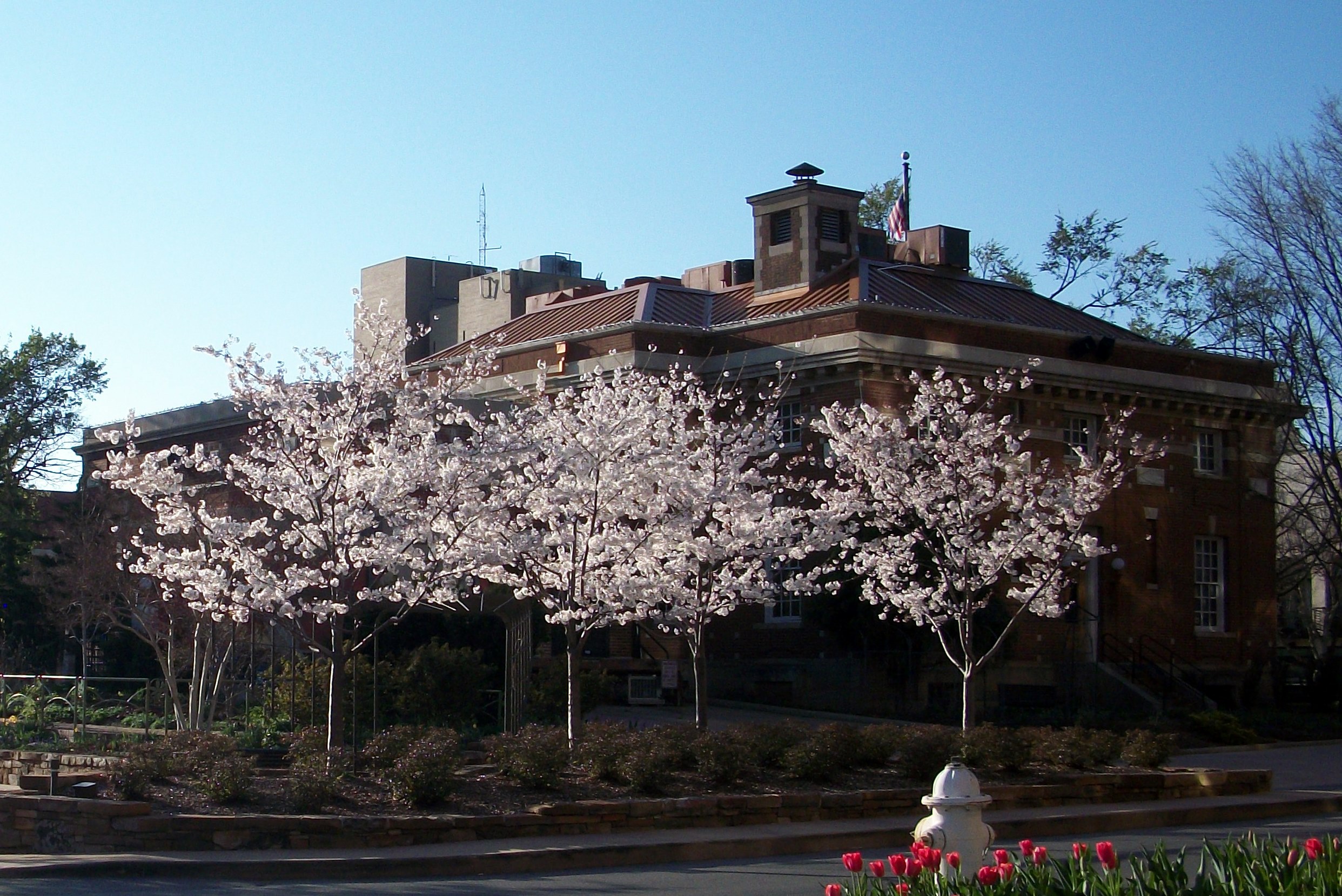
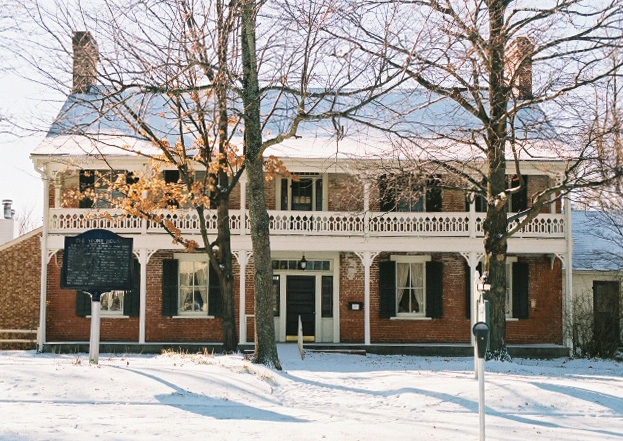
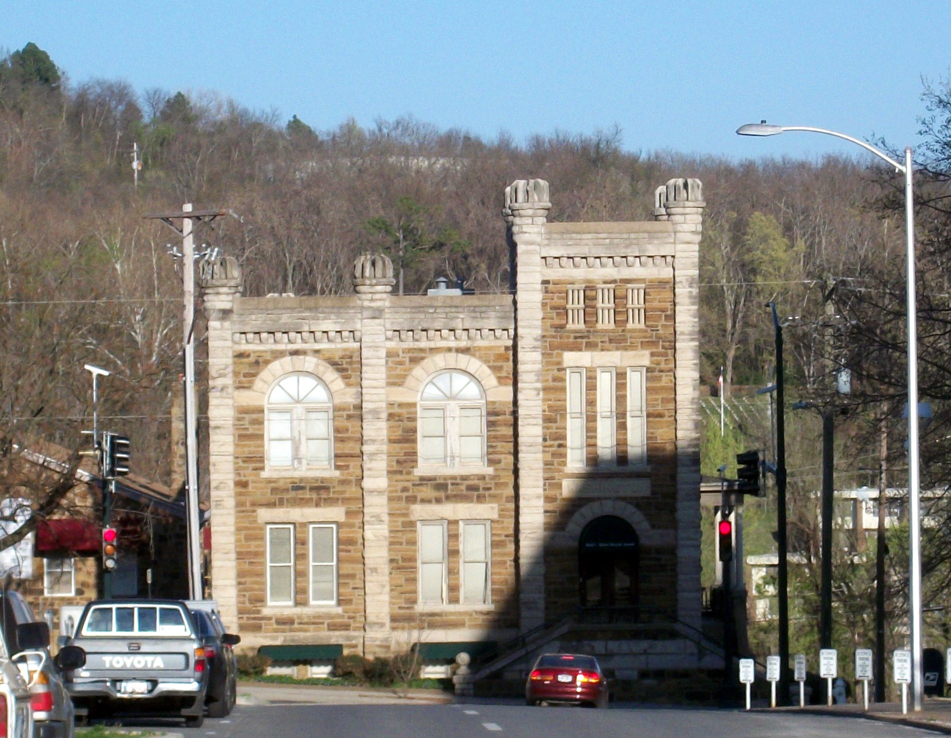
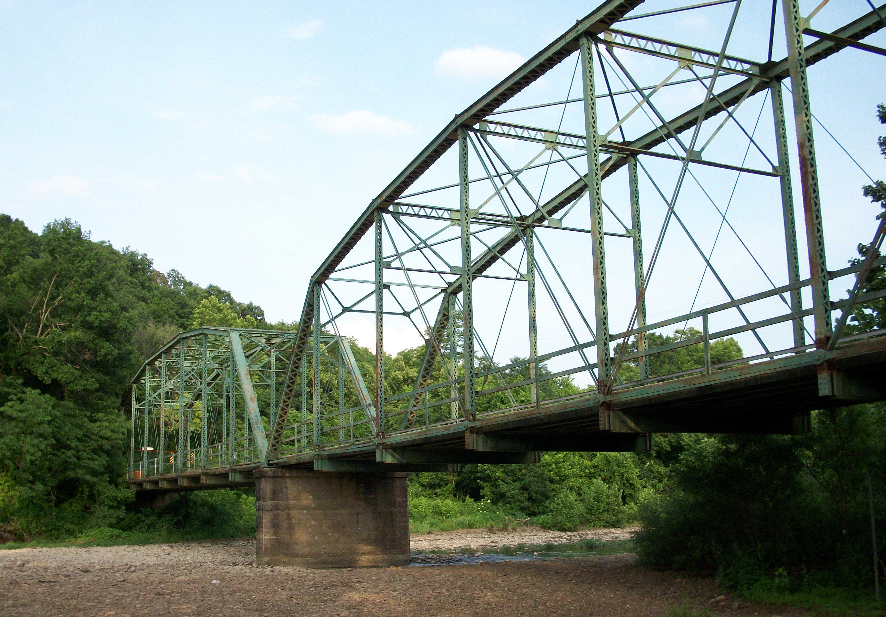
[3] Landmark name [4] Image Date listed Location City or town Summary 1 Agriculture Building-University of Arkansas, Fayetteville 
September 4, 1992 Campus Dr.
36°04′09″N 94°10′22″W / 36.069167°N 94.172778°WFayetteville 2 Bariola Farm March 5, 1992 329 Ardemagni Rd.
36°10′50″N 94°14′45″W / 36.180556°N 94.245833°WTontitown 3 Bean Cemetery March 7, 1994 Northern side of U.S. Route 62, about 2.2 miles west of its junction with
35°56′56″N 94°25′01″W / 35.948889°N 94.416944°WLincoln 4 Beely-Johnson American Legion Post 139 May 30, 2007 200 N. Spring St.
36°11′11″N 94°07′47″W / 36.186389°N 94.129722°WSpringdale 5 Bethlehem Cemetery November 15, 2000 Approximately 4 miles southwest of Cane Hill on Highway 45, near its junction with County Road 442
35°52′21″N 94°27′31″W / 35.872369°N 94.458631°WCanehill 6 Black Oak Cemetery June 3, 1998 County Road 243, 4 miles southwest of Greenland
35°59′0″N 94°4′47″W / 35.983333°N 94.07972°W[5]Greenland A part of the ghost town of Black Oak[6] 7 Blackburn House November 17, 1982 Main at College Sts.
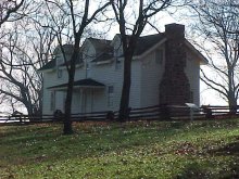
35°54′37″N 94°23′46″W / 35.910278°N 94.396111°WCanehill 8 Borden House 
March 17, 1977 Northeast of Prairie Grove on U.S. Route 62
35°58′33″N 94°18′10″W / 35.975833°N 94.302778°WPrairie Grove 9 Brown Bluff (3WA10) June 24, 1987 Address Restricted Woolsey 10 Business Administration Building-University of Arkansas, Fayetteville 
September 4, 1992 Campus Dr.
36°04′03″N 94°10′15″W / 36.0675°N 94.170833°WFayetteville 11 Butterfield Overland Mail Route Fayetteville Segments Historic District June 18, 2009 West of Highway 265 in Lake Fayetteville Park
36°08′22″N 94°07′37″W / 36.139378°N 94.126889°WFayetteville Segment of the Butterfield Overland Mail route 12 Butterfield Overland Mail Route Segment June 9, 2010 Bugscuffle Rd. south of Strickler and Old Cove City Rd. north of Chester Strickler Segment of the Butterfield Overland Mail route 13 Cane Hill Battlefield March 7, 1994 Area surrounding Highway 45 and County Roads 291, 8, 284, and 285
35°51′16″N 94°22′25″W / 35.854444°N 94.373611°WCanehill 14 Cane Hill Road Bridge 
January 21, 2010 Highway 170 over the Little Red River
36°00′01″N 94°16′30″W / 36.000233°N 94.274886°WPrairie Grove 15 Canehill Cemetery 
November 17, 1982 Highway 13
35°54′50″N 94°23′55″W / 35.913889°N 94.398611°WCanehill 16 Cane Hill College Building 
November 17, 1982 McClellan and College St.
35°54′39″N 94°23′51″W / 35.910833°N 94.3975°WCanehill 17 Ella Carnall Hall 
December 22, 1982 Arkansas Ave. and Maple St.
36°04′10″N 94°10′08″W / 36.069444°N 94.168889°WFayetteville 18 A.R. Carroll Building November 17, 1982 Main St.
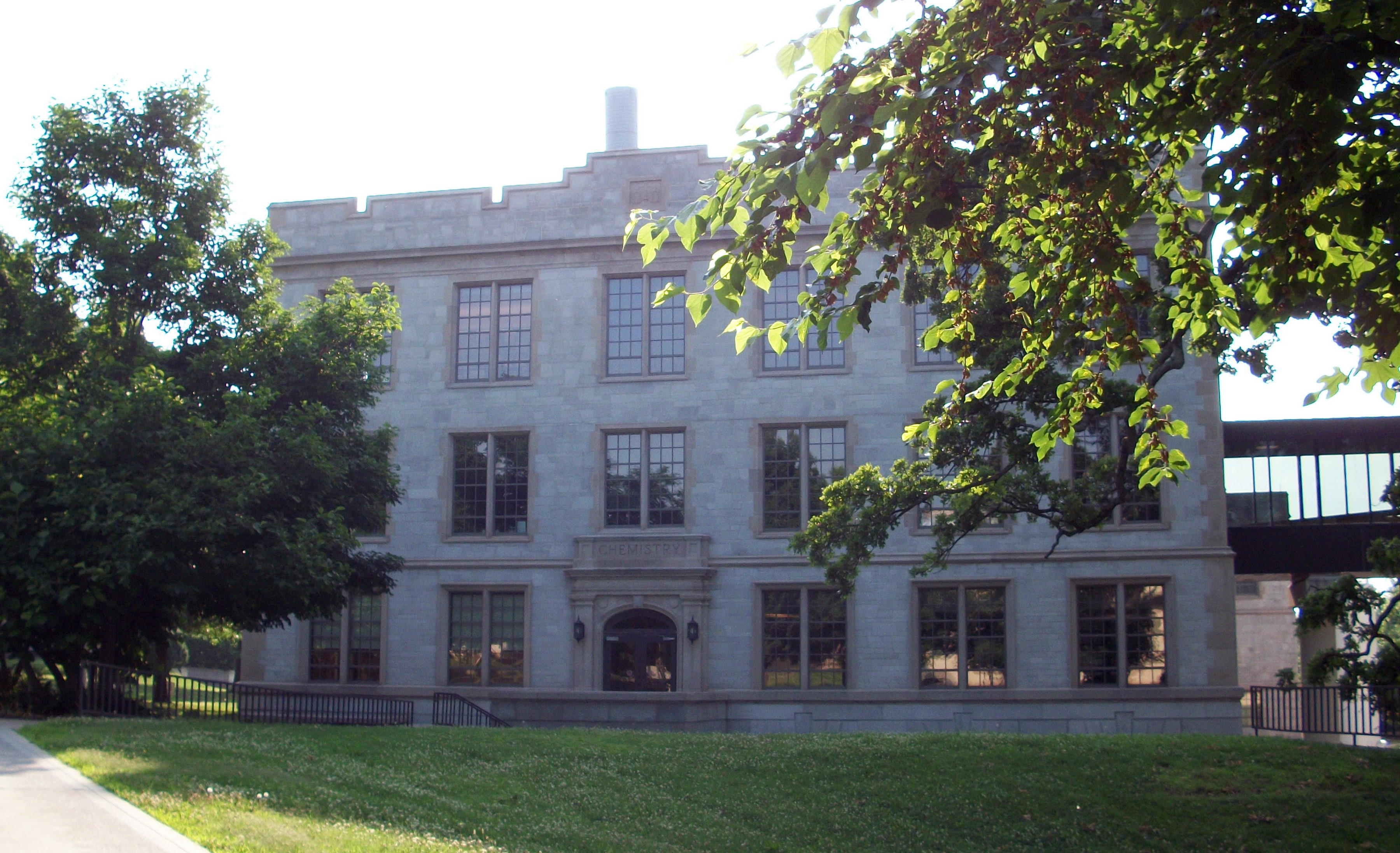
35°54′32″N 94°23′48″W / 35.908889°N 94.396667°WCanehill 19 Chemistry Building-University of Arkansas, Fayetteville 
September 4, 1992 Campus Dr.
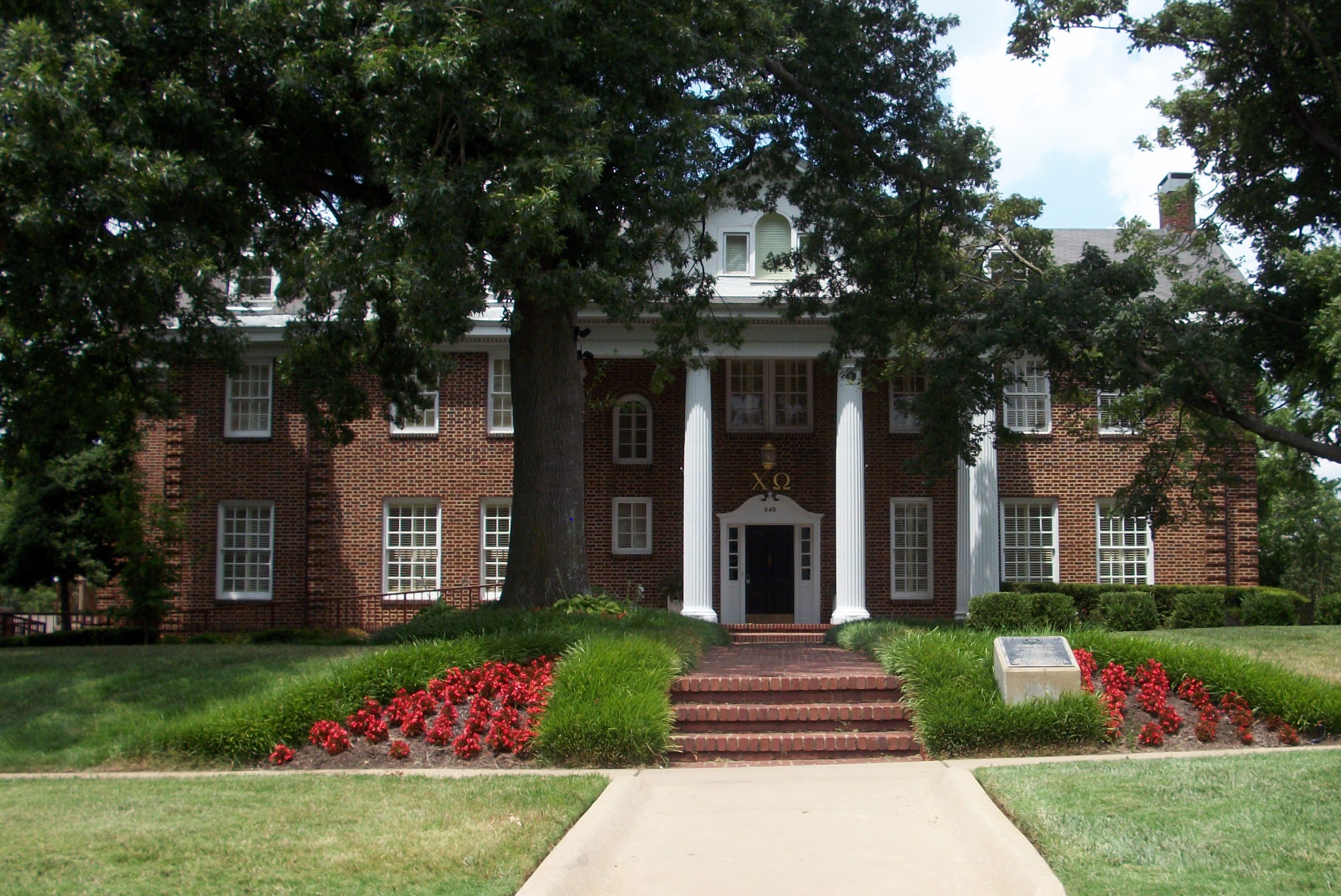
36°04′04″N 94°10′22″W / 36.067778°N 94.172778°WFayetteville 20 Chi Omega Chapter House 
April 20, 1995 940 Maple St.
36°04′13″N 94°10′24″W / 36.070278°N 94.173333°WFayetteville 21 Chi Omega Greek Theatre-University of Arkansas, Fayetteville 
September 4, 1992 Dickson St.
36°04′01″N 94°10′25″W / 36.066944°N 94.173611°WFayetteville 22 Clack House March 2, 2006 725 E. Dogwood Ln.
36°04′09″N 94°08′54″W / 36.069167°N 94.148333°WFayetteville 23 Clinton House 
January 21, 2010 930 S. California Blvd.
36°03′48″N 94°10′25″W / 36.063225°N 94.173619°WFayetteville 24 Nathan Combs House December 12, 1976 Address Restricted Fayetteville 25 County Road 6 Bridge September 24, 2004 On County Road 6, approximately 0.5 miles south of its junction with County Road 820
36°04′15″N 94°28′30″W / 36.070833°N 94.475°WCincinnati 26 Devil's Den State Park Historic District July 24, 1994 Highway 74 west of Winslow
35°46′44″N 94°15′12″W / 35.778889°N 94.253333°WWinslow 27 Durham School September 4, 1992 County Road 183
35°57′04″N 93°58′48″W / 35.951111°N 93.98°WDurham 28 Earle House 
November 17, 1982 Highway 45
35°54′18″N 94°23′45″W / 35.905°N 94.395833°WCanehill 29 D.N. Edmiston House November 17, 1982 Main St.
35°54′39″N 94°23′45″W / 35.910833°N 94.395833°WCanehill 30 John Edmiston House November 17, 1982 Off Highway 45
35°54′49″N 94°23′46″W / 35.913611°N 94.396111°WCanehill 31 Zeb Edmiston House November 17, 1982 Main St.
35°54′30″N 94°23′45″W / 35.908333°N 94.395833°WCanehill 32 Evansville-Dutch Mills Road Bridge January 24, 2008 County Road 464
35°51′55″N 94°29′59″W / 35.865278°N 94.499722°WDutch Mills 33 Evergreen Cemetery 
October 30, 1997 Junction of University and William Sts.
36°03′51″N 94°10′09″W / 36.064167°N 94.169167°WFayetteville 34 Fayetteville Confederate Cemetery June 3, 1993 Rock St., approximately 800 feet north of its junction with Willow St.
36°03′40″N 94°09′08″W / 36.061111°N 94.152222°WFayetteville 35 Fayetteville National Cemetery 
July 28, 1999 700 Government Ave.
36°03′09″N 94°10′04″W / 36.0525°N 94.167778°WFayetteville 36 Fishback School September 4, 1992 Highway 68, N.
36°10′12″N 94°05′41″W / 36.17°N 94.094722°WSpringdale 37 Fitzgerald Station and Farmstead May 29, 2003 2327 Old Wire Rd. and 1567 Dodd Ave.
36°12′19″N 94°06′49″W / 36.205278°N 94.113611°WSpringdale 38 Frisco Depot 
December 8, 1988 550 W. Dickson St.
36°04′00″N 94°09′17″W / 36.066667°N 94.154722°WFayetteville 39 Goff Farm Stone Bridge January 21, 2010 Goff Farm Rd. approximately 0.5 miles east of Dead Horse Mountain Rd.
36°02′38″N 94°06′35″W / 36.043978°N 94.109794°WFayetteville 40 Troy Gordon House 
December 1, 1978 9 E. Township Rd.
36°05′40″N 94°10′11″W / 36.094444°N 94.169722°WFayetteville 41 Gregg House 
September 17, 1974 339 N. Gregg St.
36°04′04″N 94°10′01″W / 36.067778°N 94.166944°WFayetteville 42 Guisinger Building 
September 20, 1984 E. Mountain St.
36°03′41″N 94°09′34″W / 36.061389°N 94.159444°WFayetteville 43 Hantz House November 19, 2001 855 Fairview Dr.
36°03′52″N 94°10′21″W / 36.064444°N 94.1725°WFayetteville 44 Happy Hollow Farm August 6, 1986 County Road 10
36°03′47″N 94°07′51″W / 36.063056°N 94.130833°WFayetteville 45 Headquarters House 
June 24, 1971 118 E. Dickson St.
36°03′58″N 94°09′04″W / 36.066111°N 94.151111°WFayetteville 46 Hemingway House and Barn August 12, 1982 3310 Old Missouri Rd.
36°06′42″N 94°07′54″W / 36.111667°N 94.131667°WFayetteville 47 Highway B-29 Bridge September 24, 2008 County Road 623 over the Illinois River
35°59′42″N 94°17′53″W / 35.994994°N 94.298167°WPrairie Grove 48 Home Economics Building-University of Arkansas, Fayetteville 
September 4, 1992 West of Campus Dr.
36°04′09″N 94°10′25″W / 36.069167°N 94.173611°WFayetteville 49 House at 712 N. Mill Street September 4, 1992 712 N. Mill St.
36°11′32″N 94°07′48″W / 36.192222°N 94.13°WSpringdale 50 Illinois River Bridge at Phillips Ford January 22, 2009 County Road 848 over the Illinois River
36°08′06″N 94°21′29″W / 36.135067°N 94.358089°WSavoy 51 Jackson House August 17, 1982 1500 Mission Highway (Highway 45)
36°08′14″N 94°10′41″W / 36.137222°N 94.178056°WFayetteville 52 Johnson Barn June 21, 1990 Cato Springs Rd. north of Round Top Mtn.
36°00′55″N 94°12′21″W / 36.015278°N 94.205833°WFayetteville 53 Johnson House and Mill 
December 12, 1976 West of Johnson on Johnson Rd.
36°08′14″N 94°10′41″W / 36.137222°N 94.178056°WJohnson 54 Johnson Switch Building February 26, 1999 3201 Main St.
36°08′01″N 94°10′00″W / 36.133611°N 94.166667°WJohnson 55 E. Fay and Gus Jones House April 28, 2000 1330 N. Hillcrest
36°04′51″N 94°09′10″W / 36.080833°N 94.152778°WFayetteville 56 Lafayette Street Overpass 
May 26, 1995 Lafayette St. over the St. Louis – San Francisco railroad tracks
36°04′06″N 94°09′57″W / 36.068333°N 94.165833°WFayetteville 57 Lake Wedington Historic District September 11, 1995 Junction of Highway 16 and Forest Service Rd. 1750 in the Ozark-St. Francis National Forest
36°05′23″N 94°22′15″W / 36.089722°N 94.370833°WSavoy 58 Lake-Bell House November 8, 1974 North of Prairie Grove
36°00′03″N 94°18′12″W / 36.000833°N 94.303333°WPrairie Grove 59 Lewis Brothers Building 
August 17, 1987 1 S. Block
36°03′44″N 94°09′34″W / 36.062222°N 94.159444°WFayetteville 60 Magnolia Company Filling Station 
November 15, 1978 492 W. Lafayette St.
36°04′07″N 94°09′54″W / 36.068611°N 94.165°WFayetteville 61 Maguire-Williams House September 7, 1995 Highway 74 east of its junction with Highway 16
36°01′31″N 94°00′35″W / 36.025278°N 94.009722°WElkins 62 Maple Street Overpass 
May 26, 1995 Maple St. over the St. Louis – San Francisco railroad tracks
36°04′12″N 94°10′00″W / 36.07°N 94.166667°WFayetteville 63 E.W. McClellan House November 17, 1982 Southwest of Canehill off Highway 45
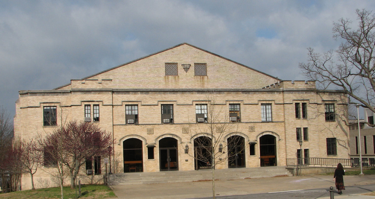
35°54′39″N 94°23′51″W / 35.910833°N 94.3975°WCanehill 64 Men's Gymnasium-University of Arkansas, Fayetteville 
September 4, 1992 Garland Ave.
36°04′10″N 94°10′33″W / 36.069444°N 94.175833°WFayetteville 65 Methodist Manse November 17, 1982 Main and Spring Sts.
35°54′29″N 94°23′48″W / 35.908056°N 94.396667°WCanehill 66 Mineral Springs Community Building May 29, 1998 County Road 34, east of West Fork
35°55′37″N 94°08′06″W / 35.926944°N 94.135°WWest Fork 67 Moore House November 17, 1982 Northwest of Canehill on CR 13
35°54′55″N 94°24′19″W / 35.915278°N 94.405278°WCanehill 68 Mack Morton Barn February 15, 2005 11516 Appleby Rd.
36°01′15″N 94°14′42″W / 36.020833°N 94.245°WAppleby 69 Mount Nord Historic District September 16, 1982 Mount Nord Ave.
36°04′10″N 94°09′38″W / 36.069444°N 94.160556°WFayetteville 70 Willis Noll House January 20, 2005 531 N. Sequoyah Dr.
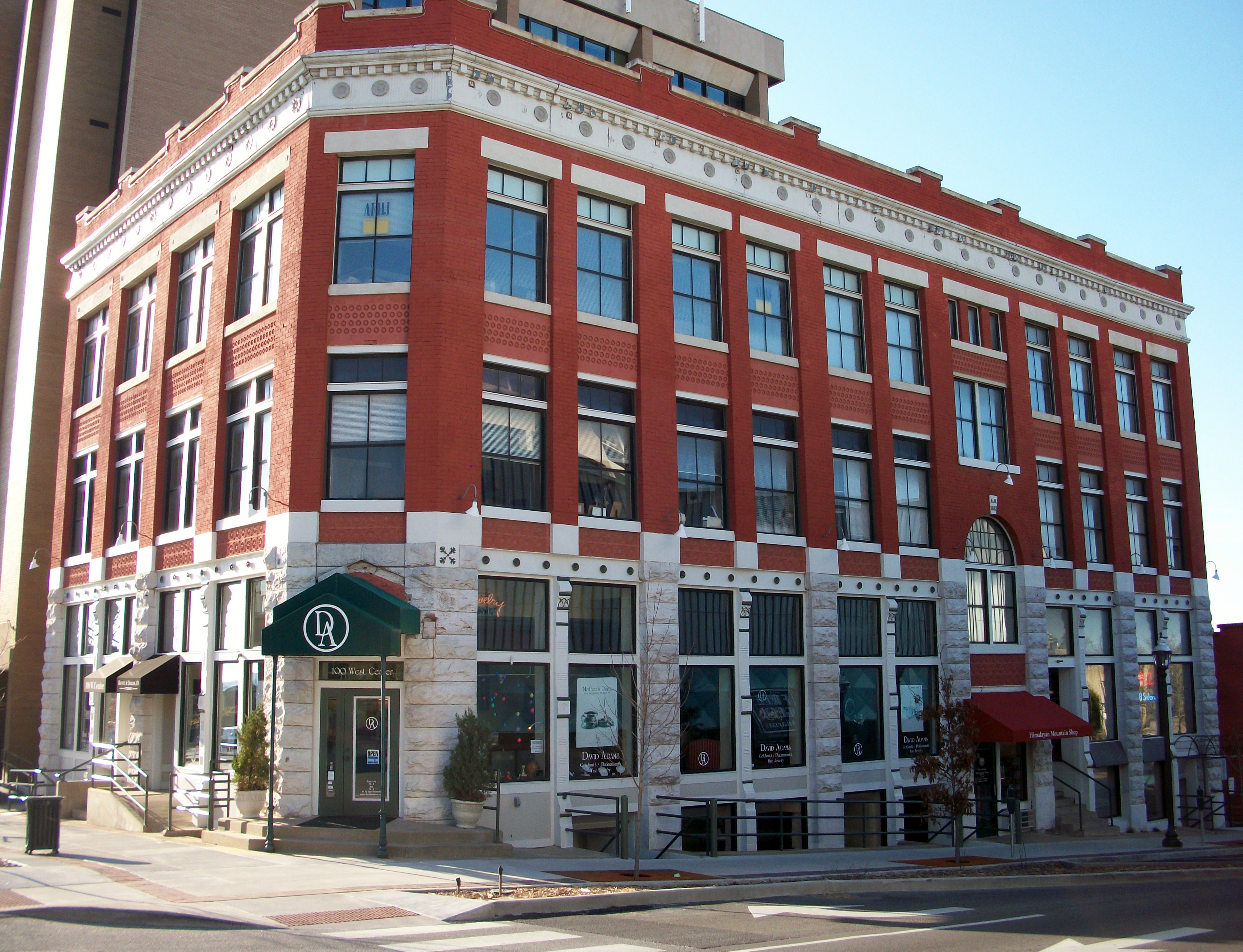
36°04′07″N 94°26′40″W / 36.068611°N 94.444444°WFayetteville 71 Old Bank of Fayetteville Building 
March 7, 1994 100 W. Center St.
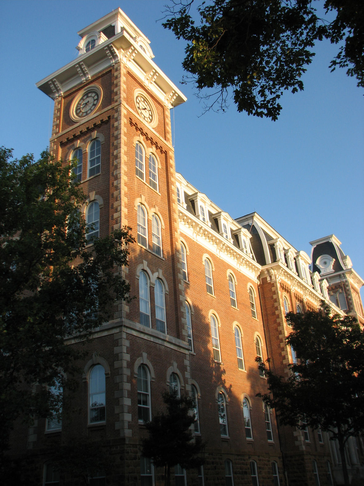
36°03′46″N 94°09′38″W / 36.062778°N 94.160556°WFayetteville 72 Old Main, University of Arkansas 
June 15, 1970 Arkansas Ave.
36°04′07″N 94°10′17″W / 36.068611°N 94.171389°WFayetteville 73 Old Post Office 
August 27, 1974 City Sq.
36°03′44″N 94°09′35″W / 36.062222°N 94.159722°WFayetteville 74 Old Springdale High School May 19, 1994 Johnson St.
36°11′14″N 94°08′14″W / 36.187222°N 94.137222°WSpringdale 75 Old US 71, Greenland Segment 
September 24, 2004 County Road 1194 (S. Main Ave.)
35°59′02″N 94°10′23″W / 35.983889°N 94.173056°WGreenland 76 Prairie Grove Battlefield Park 
September 4, 1970 Within a triangle formed by North Rd. on the northwest and U.S. Route 62 on the south; also the northern side of U.S. Route 62, east of Prairie Grove; also north of U.S. Route 62, east of Prairie Grove
35°59′09″N 94°18′51″W / 35.985833°N 94.314167°WPrairie Grove Second and third sets of boundaries represent boundary increases of November 9, 1992 and October 27, 2005 77 Price Produce and Service Station September 23, 2011 413, 415 & 417 E. Emma Ave.
36°11′05″N 94°07′35″W / 36.184722°N 94.126389°WSpringdale Arkansas Highway History and Architecture MPS 78 Pyeatte Mill Site 
November 17, 1982 South of Canehill on Highway 45
35°53′54″N 94°24′07″W / 35.898333°N 94.401944°WCanehill 79 Henry Pyeatte House November 17, 1982 North of Canehill on Highway 45
35°55′05″N 94°23′39″W / 35.918056°N 94.394167°WCanehill 80 Rabbits Foot Lodge September 11, 1986 3600 Silent Grove Rd.
36°12′35″N 94°09′29″W / 36.209722°N 94.158056°WSpringdale 81 Ridge House 
November 2, 1972 230 W. Center St.
36°03′46″N 94°09′23″W / 36.062778°N 94.156389°WFayetteville 82 Routh-Bailey House September 28, 1989 Old Wire Rd. 3 miles east of Fayetteville
36°06′37″N 94°07′06″W / 36.110278°N 94.118333°WFayetteville 83 St. Joseph Catholic Church March 2, 2006 110 E. Henri de Tonti Boulevard
36°10′43″N 94°14′06″W / 36.178611°N 94.235°WTontitown 84 Lynn Shelton American Legion Post No. 27 January 4, 1996 28 S. College Ave.
36°03′43″N 94°09′26″W / 36.061944°N 94.157222°WFayetteville 85 Shiloh Church June 5, 1975 Huntsville and Main Sts.
36°11′17″N 94°07′52″W / 36.188056°N 94.131111°WSpringdale 86 Shiloh Historic District August 31, 1978 Roughly bounded by Spring Creek, Shiloh, Johnson, Mill, and Spring Sts.
36°11′19″N 94°07′53″W / 36.188611°N 94.131389°WSpringdale 87 Tom Smith House October 8, 1992 Highway 74 west of its junction with Highway 295, northeast of Elkins
36°02′17″N 93°57′41″W / 36.038056°N 93.961389°WElkins 88 Peter Smyth House October 4, 2002 1629 Crossover St.
36°04′56″N 94°07′17″W / 36.082222°N 94.121389°WFayetteville 89 Son's Chapel September 25, 2003 5480 E. Mission
36°06′06″N 94°04′56″W / 36.101667°N 94.082222°WFayetteville 90 Southern Mercantile Building June 14, 1990 107 E. Buchanan
35°58′31″N 94°19′00″W / 35.975278°N 94.316667°WPrairie Grove 91 Spring Valley School District 120 Building September 4, 1992 County Road 379
36°10′39″N 93°55′56″W / 36.1775°N 93.932222°WSpring Valley 92 Springdale Poultry Industry Historic District September 23, 2011 317 & 319 E. Emma & 316 E. Meadow Aves.
36°11′04″N 94°07′40″W / 36.184444°N 94.127778°WSpringdale 93 Stokenbury Cemetery February 4, 2010 Highway 16
36°00′52″N 94°00′31″W / 36.014389°N 94.008564°WElkins 94 Stone House 
September 4, 1970 207 Center St.
36°03′17″N 94°09′56″W / 36.054722°N 94.165556°WFayetteville 95 Strengthen the Arm of Liberty Monument-Fayetteville November 1, 2000 North St., northeast of its junction with Park Ave.
36°04′46″N 94°09′35″W / 36.079444°N 94.159722°WFayetteville 96 Student Union Building-University of Arkansas, Fayetteville 
September 4, 1992 Southeastern corner of the junction of Campus Dr. and Maple St.
36°04′11″N 94°10′15″W / 36.069722°N 94.170833°WFayetteville 97 Tharp House 
January 21, 2004 15 N. West Ave.
36°03′48″N 94°09′56″W / 36.063333°N 94.165556°WFayetteville 98 John Tilley House November 2, 1978 West of Prairie Grove on Stonewall Rd.
35°59′34″N 94°23′08″W / 35.992778°N 94.385556°WPrairie Grove 99 Tontitown School Building September 4, 1992 US 412
36°10′36″N 94°14′00″W / 36.176667°N 94.233333°WTontitown 100 Twin Bridges Historic District March 7, 1994 County Road 3412 across an unnamed creek and Old County Road 11 across Baron Fork
35°52′35″N 94°27′12″W / 35.876389°N 94.453333°WMorrow 101 United Presbyterian Church of Canehill 
November 17, 1982 Main St.
35°54′36″N 94°23′46″W / 35.91°N 94.396111°WCanehill 102 University of Arkansas Campus Historic District September 23, 2009 Roughly bounded by Garland Ave., Maple St., Arkansas Ave., and Dickson St.
36°04′05″N 94°10′19″W / 36.068186°N 94.172047°WFayetteville 103 John S. Vest House November 27, 1979 21 N. West St.
36°03′48″N 94°09′56″W / 36.063333°N 94.165556°WFayetteville 104 Villa Rosa 
December 27, 1990 617 W. Lafayette
36°04′05″N 94°10′03″W / 36.068056°N 94.1675°WFayetteville 105 Wade-Heerwagen House June 15, 1978 338 Washington Ave., N.
36°04′03″N 94°09′20″W / 36.0675°N 94.155556°WFayetteville 106 Walker House June 10, 1975 Knerr Rd.
36°03′29″N 94°08′59″W / 36.058056°N 94.149722°WFayetteville 107 Vol Walker Library-University of Arkansas, Fayetteville 
September 4, 1992 Campus Dr.
36°04′07″N 94°10′21″W / 36.068611°N 94.1725°WFayetteville 108 Walnut Grove Presbyterian Church December 7, 1995 Highway 170
36°00′08″N 94°16′03″W / 36.002222°N 94.2675°WFarmington 109 Washington County Courthouse 
February 23, 1972 College Ave. and E. Center St.
36°03′45″N 94°09′27″W / 36.0625°N 94.1575°WFayetteville 110 Washington County Jail 
December 1, 1978 College and County Aves.
36°03′42″N 94°09′27″W / 36.061667°N 94.1575°WFayetteville 111 Washington County Road 35 Bridge 
June 9, 2000 County Road 35
35°53′01″N 94°09′53″W / 35.883611°N 94.164722°WWoolsey 112 Washington-Willow Historic District May 23, 1980 Roughly bounded by College and Walnut Aves. and Rebecca and Spring Sts.; also roughly Spring, Dickson, Sutton, and Lafayette Sts. from Olive Ave. to Willow Ave., and the junction of Rebecca St. and Willow
36°04′08″N 94°09′19″W / 36.068889°N 94.155278°WFayetteville Second set of boundaries represents a boundary increase of March 28, 1995 113 Waterman-Archer House June 25, 1999 2148 Markham
36°04′10″N 94°11′21″W / 36.069444°N 94.189167°WFayetteville 114 William Welch House November 17, 1982 Main St.
35°54′29″N 94°23′45″W / 35.908056°N 94.395833°WCanehill 115 West Dickson Street Commercial Historic District 
October 1, 2007 Dickson St. between Arkansas and St. Charles Aves., and West Ave. between Dickson and Lafayette Sts.
36°03′59″N 94°09′52″W / 36.066389°N 94.164444°WFayetteville 116 White River Bridge at Elkins January 24, 2008 County Road 44.
36°00′10″N 94°00′14″W / 36.002778°N 94.003889°WElkins 117 Wilson Park Historic District March 31, 1995 Roughly bounded by College Ave., Maple St., Wilson Ave., and Louise St.
36°04′15″N 94°09′44″W / 36.070833°N 94.162222°WFayetteville 118 Wilson-Pittman-Campbell-Gregory House May 6, 1980 405 E. Dickson St.
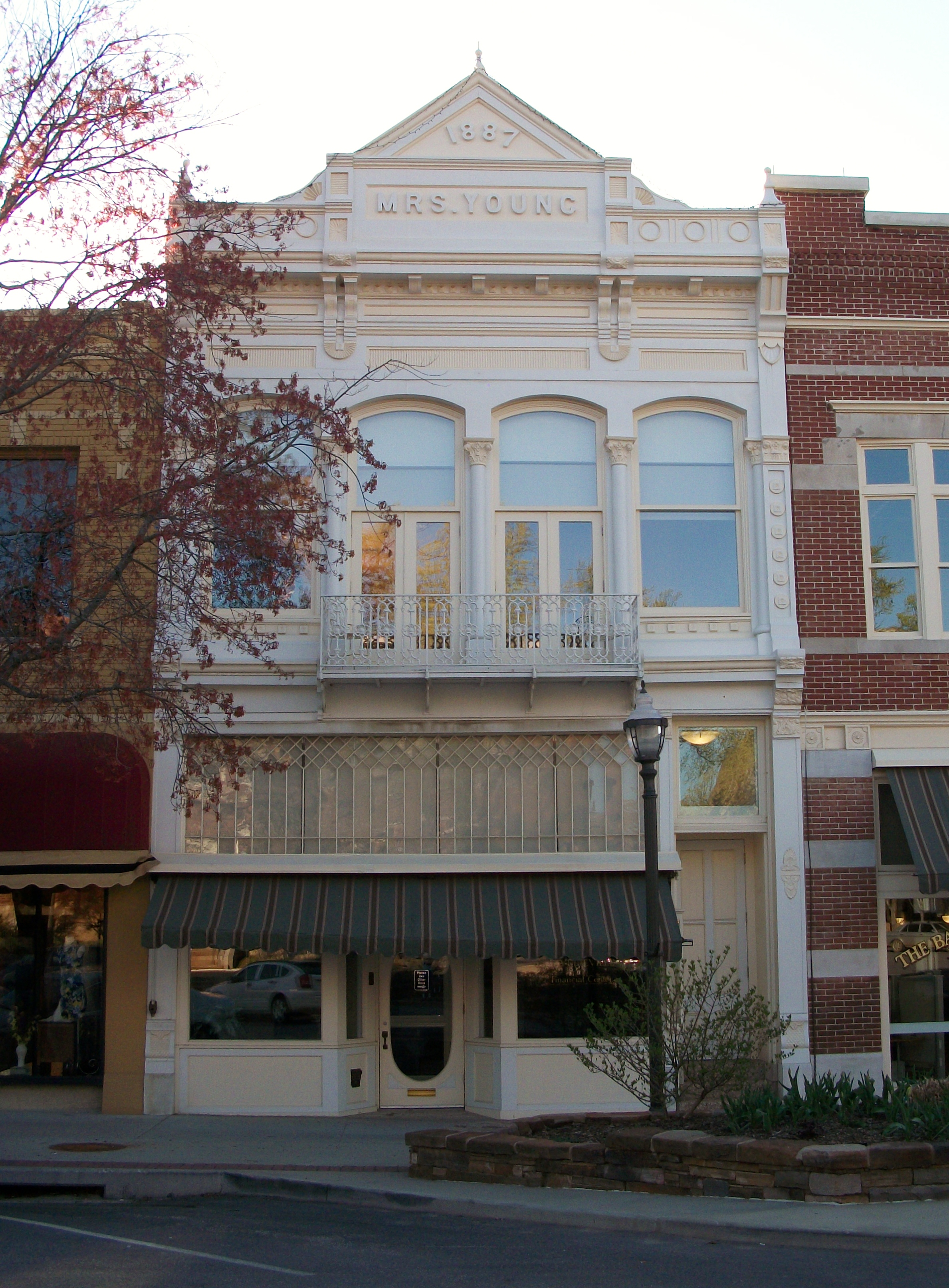
36°03′55″N 94°09′07″W / 36.065278°N 94.151944°WFayetteville 119 Mrs. Young Building 
June 25, 1999 5 S. Block Ave.
36°03′51″N 94°10′13″W / 36.064167°N 94.170278°WFayetteville Former listing
Landmark name Image Date removed Location City or Town Summary 1 Dodson Memorial Building October 7, 2009 Northeastern corner of the junction of Pleasant St. and Emma Ave.
36°11′7″N 94°8′33″W / 36.18528°N 94.1425°WSpringdale Listed September 4, 1992 See also
- List of National Historic Landmarks in Arkansas
- National Register of Historic Places listings in Arkansas
References
- ^ The latitude and longitude information provided in this table was derived originally from the National Register Information System, which has been found to be fairly accurate for about 99% of listings. For about 1% of NRIS original coordinates, experience has shown that one or both coordinates are typos or otherwise extremely far off; some corrections may have been made. A more subtle problem causes many locations to be off by up to 150 yards, depending on location in the country: most NRIS coordinates were derived from tracing out latitude and longitudes off of USGS topographical quadrant maps created under the North American Datum of 1927, which differs from the current, highly accurate WGS84 GPS system used by Google maps. Chicago is about right, but NRIS longitudes in Washington are higher by about 4.5 seconds, and are lower by about 2.0 seconds in Maine. Latitudes differ by about 1.0 second in Florida. Some locations in this table may have been corrected to current GPS standards.
- ^ "National Register of Historic Places: Weekly List Actions". National Park Service, United States Department of the Interior. Retrieved on November 10, 2011.
- ^ Numbers represent an ordering by significant words. Various colorings, defined here, differentiate National Historic Landmark sites and National Register of Historic Places Districts from other NRHP buildings, structures, sites or objects.
- ^ "National Register Information System". National Register of Historic Places. National Park Service. . http://nrhp.focus.nps.gov/natreg/docs/All_Data.html.
- ^ Location derived from the GNIS feature record for the ghost town of Black Oak; the NRIS provides greatly erroneous coordinates
- ^ BLACK OAK CEMETERY, GREENLAND, WASHINGTON COUNTY, Arkansas Historic Preservation Program].
U.S. National Register of Historic Places Topics Lists by states Alabama • Alaska • Arizona • Arkansas • California • Colorado • Connecticut • Delaware • Florida • Georgia • Hawaii • Idaho • Illinois • Indiana • Iowa • Kansas • Kentucky • Louisiana • Maine • Maryland • Massachusetts • Michigan • Minnesota • Mississippi • Missouri • Montana • Nebraska • Nevada • New Hampshire • New Jersey • New Mexico • New York • North Carolina • North Dakota • Ohio • Oklahoma • Oregon • Pennsylvania • Rhode Island • South Carolina • South Dakota • Tennessee • Texas • Utah • Vermont • Virginia • Washington • West Virginia • Wisconsin • WyomingLists by territories Lists by associated states Other Municipalities and communities of Washington County, Arkansas Cities Elkins | Elm Springs‡ | Farmington | Fayetteville | Greenland | Johnson | Lincoln | Prairie Grove | Springdale‡ | Tontitown | West Fork | Winslow
Town Townships Boston | Brush Creek | Cane Hill | Center | Cove Creek | Crawford | Durham | Dutch Mills | Elkins | Elm Springs | Farmington | Fayetteville | Goshen | Greenland | Harmon | Illinois | Johnson | Lee's Creek | Lincoln | Litteral | Marrs Hill | Morrow | Prairie | Prairie Grove | Reed | Rhea's Mill | Richland | Springdale | Starr Hill | Tontitown | Valley | Vineyard | Wedington | West Fork | White River | Winslow | Wyman
Unincorporated
communitiesAppleby | Arnett | Baldwin | Banyard | Beav-O-Rama | Black Oak | Blackburn | Blue Springs Village | Brentwood | Canehill | Cincinnati | Clyde | Durham | Dutch Mills | Evansville | Fayette Junction | Floss | Gulley | Habberton | Harmon | Harris | Hazel Velley | Hicks | Hogeye | Hubbard | Mayfield | McNair | Morrow | Mount Olive | Oak Grove | Odell | Onda | Pilgrim's Rest | Pitkin Corner | Rhea | Rochelle Riviera | Savoy | Shady Grove | Skylight | Sonora | Spring Valley | Starks | Steele | Strain | Strickler | Sulphur City | Summers | Sunset | Suttle | Tolu | Tuttle | Viney Grove | Walnut Grove | War Eagle Cove | Wedington | Wedington Woods | Wheeler | White Rock | Woolsey | Wyman | Wyola
Ghost towns Barbara | Blewford | Carter | Cross Roads | Jabur | McGuire | Porter's Store | Rickert | Rucker's Grove | Sexton | Summit | Sydenham
Footnotes ‡This populated place also has portions in an adjacent county or counties
Categories:- Washington County, Arkansas
- National Register of Historic Places in Arkansas by county
-


Wikimedia Foundation. 2010.