- Clyde, Arkansas
-
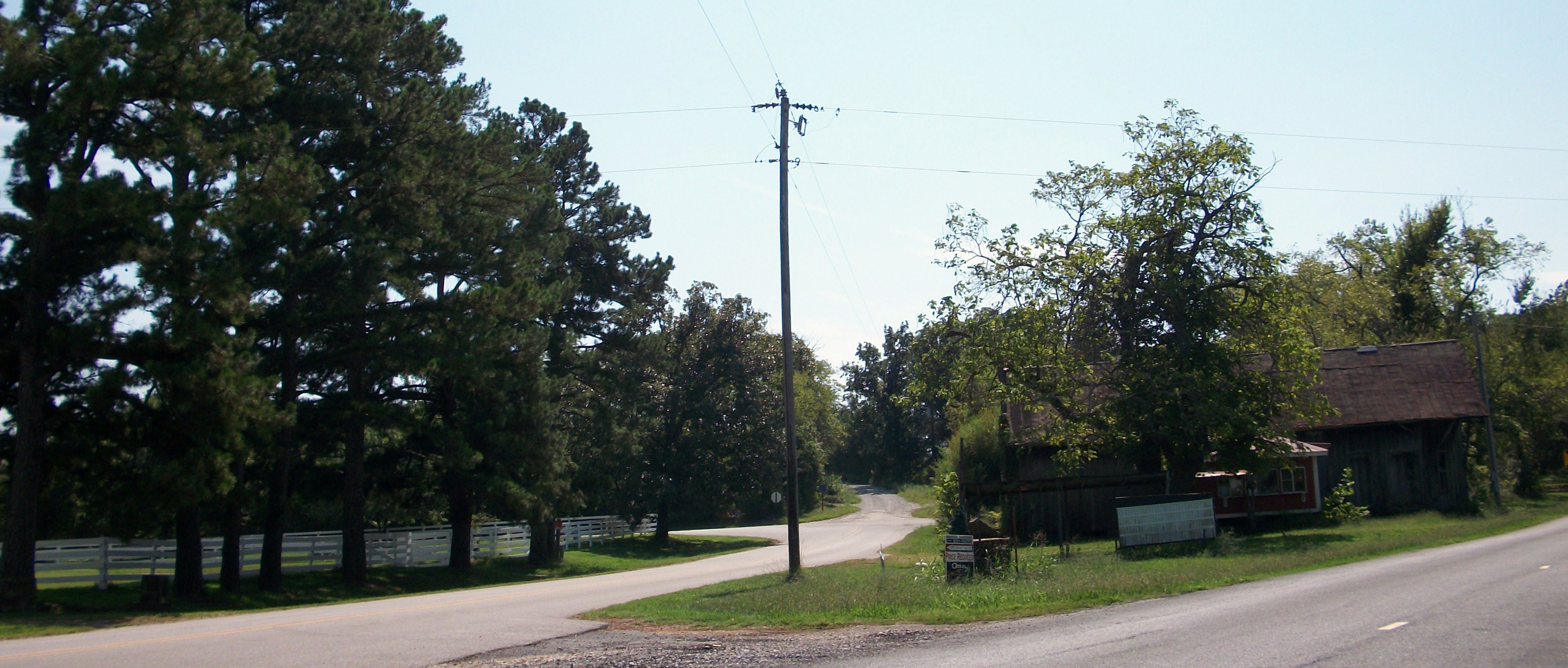
Clyde, Arkansas — Unincorporated community — Clyde at the intersection of AR 45 and Washington County Route 8.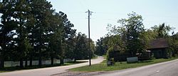 Clyde's position in Arkansas.
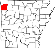
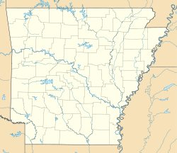
 Clyde, Arkansas
Coordinates: 35°53′29″N 94°24′24″W / 35.89139°N 94.40667°WCoordinates: 35°53′29″N 94°24′24″W / 35.89139°N 94.40667°W[1] Country  United States
State  Arkansas
County Washington Township Cane Hill Elevation[1] 403 m (1,322 ft) Time zone Central (CST) (UTC-6) - Summer (DST) CDT (UTC-5) ZIP code 72717 Area code(s) 479 GNIS feature ID 76643 [1] Clyde, Arkansas (historically Newtown, Arkansas) is an unincorporated community in Cane Hill Township, Washington County, Arkansas, United States.[1] Clyde is on Arkansas Highway 45 about 26 miles southwest of Fayetteville and 6 mile east of the Oklahoma border.
Located within the Canehill, Arkansas (ZIP code 72717), the population of the ZCTA was 847 at the 2000 census. It is part of the Fayetteville–Springdale–Rogers, AR-MO Metropolitan Statistical Area.
References
- ^ a b c d "Clyde". Geographic Names Information System, U.S. Geological Survey. http://geonames.usgs.gov/pls/gnispublic/f?p=gnispq:3:::NO::P3_FID:76643. Retrieved 2010-09-15.
Municipalities and communities of Washington County, Arkansas County seat: Fayetteville Cities Elkins | Elm Springs‡ | Farmington | Fayetteville | Greenland | Johnson | Lincoln | Prairie Grove | Springdale‡ | Tontitown | West Fork | Winslow
Town Townships Boston | Brush Creek | Cane Hill | Center | Cove Creek | Crawford | Durham | Dutch Mills | Elkins | Elm Springs | Farmington | Fayetteville | Goshen | Greenland | Harmon | Illinois | Johnson | Lee's Creek | Lincoln | Litteral | Marrs Hill | Morrow | Prairie | Prairie Grove | Reed | Rhea's Mill | Richland | Springdale | Starr Hill | Tontitown | Valley | Vineyard | Wedington | West Fork | White River | Winslow | Wyman
Unincorporated
communitiesAppleby | Arnett | Baldwin | Banyard | Beav-O-Rama | Black Oak | Blackburn | Blue Springs Village | Brentwood | Canehill | Cincinnati | Clyde | Durham | Dutch Mills | Evansville | Fayette Junction | Floss | Gulley | Habberton | Harmon | Harris | Hazel Velley | Hicks | Hogeye | Hubbard | Mayfield | McNair | Morrow | Mount Olive | Oak Grove | Odell | Onda | Pilgrim's Rest | Pitkin Corner | Rhea | Rochelle Riviera | Savoy | Shady Grove | Skylight | Sonora | Spring Valley | Starks | Steele | Strain | Strickler | Sulphur City | Summers | Sunset | Suttle | Tolu | Tuttle | Viney Grove | Walnut Grove | War Eagle Cove | Wedington | Wedington Woods | Wheeler | White Rock | Woolsey | Wyman | Wyola
Ghost towns Barbara | Blewford | Carter | Cross Roads | Jabur | McGuire | Porter's Store | Rickert | Rucker's Grove | Sexton | Summit | Sydenham
Footnotes ‡This populated place also has portions in an adjacent county or counties
Categories:- Populated places in Washington County, Arkansas
- Unincorporated communities in Arkansas


Wikimedia Foundation. 2010.