- National Register of Historic Places listings in Sebastian County, Arkansas
-
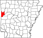
 Location of Sebastian County in Arkansas
This is a list of the National Register of Historic Places listings in Sebastian County, Arkansas.
This is intended to be a complete list of the properties and districts on the National Register of Historic Places in Sebastian County, Arkansas, United States. The locations of National Register properties and districts for which the latitude and longitude coordinates are included below, may be seen in a Google map.[1]
There are 54 properties and districts listed on the National Register in the county. Another 2 properties were once listed but have been removed.
Contents: Counties in Arkansas Arkansas - Ashley - Baxter - Benton - Boone - Bradley - Calhoun - Carroll - Chicot - Clark - Clay - Cleburne - Cleveland - Columbia - Conway - Craighead - Crawford - Crittenden - Cross - Dallas - Desha - Drew - Faulkner - Franklin - Fulton - Garland - Grant - Greene - Hempstead - Hot Spring - Howard - Independence - Izard - Jackson - Jefferson - Johnson - Lafayette - Lawrence - Lee - Lincoln - Little River - Logan - Lonoke - Madison - Marion - Miller - Mississippi - Monroe - Montgomery - Nevada - Newton - Ouachita - Perry - Phillips - Pike - Poinsett - Polk - Pope - Prairie - Pulaski (Little Rock) - Randolph - St. Francis - Saline - Scott - Searcy - Sebastian - Sevier - Sharp - Stone - Union - Van Buren - Washington - White - Woodruff - Yell
-
- This National Park Service list is complete through NPS recent listings posted November 10, 2011.[2]
Current listings
[3] Landmark name [4] Image Date listed Location City or town Summary 1 Atkinson-Williams Warehouse December 13, 1979 320 Rogers Ave.
35°23′15″N 94°25′42″W / 35.3875°N 94.428333°WFort Smith 2 William Ayers House July 8, 1999 820 N. 12th St.
35°23′56″N 94°24′47″W / 35.398889°N 94.413056°WFort Smith 3 Birney Safety Streetcar No. 224 May 19, 1994 100 S. 4th St.
35°23′09″N 94°25′47″W / 35.385833°N 94.429722°WFort Smith 4 Bonneville House September 22, 1971 318 N. 7th St.
35°23′21″N 94°25′14″W / 35.389167°N 94.420556°WFort Smith 5 Karl Edward Bracht House May 2, 1979 315 N. 13th St.
35°23′05″N 94°24′59″W / 35.384722°N 94.416389°WFort Smith 6 C.R. Breckinridge House August 7, 1979 504 N. 16th St.
35°23′09″N 94°24′47″W / 35.385833°N 94.413056°WFort Smith 7 Camp Chaffee Tank Destroyer Battalion Historic District September 23, 2011 Roughly bounded by Terry St., Ward Ave., Ellis St. & Darby Ave.
35°23′09″N 94°24′47″W / 35.385833°N 94.413056°WFort Smith World War II Home Front Efforts in Arkansas, MPS 8 Christ the King Church December 22, 1982 Greenwood Ave. at S. South St.
35°21′53″N 94°24′15″W / 35.364722°N 94.404167°WFort Smith 9 W.H.H. Clayton House September 4, 1970 514 N. 6th St.
35°23′30″N 94°25′15″W / 35.391667°N 94.420833°WFort Smith 10 Commercial Hotel May 7, 1973 123 N. 1st St.
35°23′24″N 94°25′44″W / 35.39°N 94.428889°WFort Smith 11 Coop Creek Bridge May 5, 1995 County Road 236 over Coop Creek
35°03′27″N 94°14′10″W / 35.0575°N 94.236111°WMansfield 12 Dodson Avenue Methodist Episcopal Church March 2, 2006 1922 Dodson Ave.
35°22′19″N 94°24′45″W / 35.371944°N 94.4125°WFort Smith 13 Echols Memorial Christian Church February 21, 2006 2801 Alabama
35°23′03″N 94°24′06″W / 35.384167°N 94.401667°WFort Smith 14 Ferguson-Calderara House December 11, 1979 214 N. 14th St.
35°23′01″N 94°25′00″W / 35.383611°N 94.416667°WFort Smith 15 Fishback Neighborhood Historic District September 23, 2010 Roughly bounded by Rogers, Greenwood, and Dodson Aves. and 31st St.
35°22′25″N 94°24′05″W / 35.373611°N 94.401389°WFort Smith 16 Fort Smith Masonic Temple November 20, 1992 200 N. 11th St.
35°23′09″N 94°25′06″W / 35.385833°N 94.418333°WFort Smith 17 Fort Smith National Cemetery May 20, 1999 522 Garland Ave. and S. 6th St.
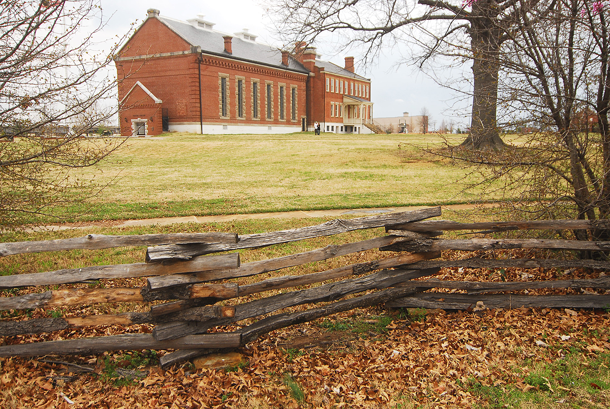
35°22′59″N 94°25′43″W / 35.383056°N 94.428611°WFort Smith 18 Fort Smith National Historic Site 
October 15, 1966 Southern side of Garland Avenue
35°23′17″N 94°25′52″W / 35.38806°N 94.43111°W[5]Fort Smith 19 Fort Smith US Post Office and Courthouse 
December 13, 1999 30 S. 6th St.
35°23′10″N 94°25′36″W / 35.386111°N 94.426667°WFort Smith 20 Fort Smith's Belle Grove Historic District July 16, 1973 Bounded by N. 4th, N. 9th, N. B, and N. H Sts.
35°23′27″N 94°25′15″W / 35.39083°N 94.42083°W[6]Fort Smith 21 Ft. Smith Confederate Monument April 26, 1996 Courthouse Lawn, near the junction of 6th St. and Rogers Ave.
35°23′14″N 94°25′40″W / 35.387222°N 94.427778°WFort Smith 22 Greenwood Gymnasium June 15, 2011 300 E. Gary St.
35°13′08″N 94°15′40″W / 35.218889°N 94.261111°WGreenwood New Deal Recovery Efforts in Arkansas MPS 23 Greenwood Presbyterian Church October 1, 2008 103 W. Denver St.
35°12′57″N 94°15′28″W / 35.215833°N 94.257778°WGreenwood 24 Hackett Creek Bridge May 5, 1995 Highway 45 over Hackett Creek
35°11′35″N 94°24′51″W / 35.193056°N 94.414167°WHackett 25 Robert Atlas Harper House June 2, 2000 201 N. Main St.
35°12′58″N 94°15′22″W / 35.216111°N 94.256111°WGreenwood 26 Hartford Commercial Historic District July 15, 2009 Buildings on the eastern side of Broadway St. from 12 N. Broadway to 106 S. Broadway
35°01′21″N 94°22′53″W / 35.022403°N 94.381364°WHartford 27 Hartford Water Tower January 24, 2008 Pine and 1st. Sts.
35°01′30″N 94°22′37″W / 35.025°N 94.376944°WHartford 28 Jones Memorial Methodist Church January 21, 2011 400 E. Main St.
35°01′22″N 94°22′38″W / 35.022778°N 94.377222°WHartford 29 Joseph Knoble Brewery March 24, 1972 N. 3rd and E Sts.
35°23′33″N 94°25′22″W / 35.3925°N 94.422778°WFort Smith 30 Maness Schoolhouse May 29, 2003 8801 Wells Lake Rd.
35°17′50″N 94°20′05″W / 35.297222°N 94.334722°WBarling 31 Maumelle Ordnance Works Locomotive #1 September 20, 2006 100 S. 4th St.
35°23′11″N 94°25′52″W / 35.386389°N 94.431111°WFort Smith 32 May-Lecta-Sweet Historic District July 2, 2008 Roughly bounded by May Ave., Rogers Ave., Sweet Ave., and Kinkead Ave.
35°22′43″N 94°24′03″W / 35.378694°N 94.400956°WFort Smith 33 Angus McLeod House December 8, 1978 912 N. 13th St.
35°23′20″N 94°24′45″W / 35.388889°N 94.4125°WFort Smith 34 Milltown Bridge 
April 6, 1990 County Road 77, 1.5 miles west of Milltown
35°09′30″N 94°10′26″W / 35.158333°N 94.173889°WMilltown 35 William J. Murphy House August 7, 1979 923 N. 13th St.
35°23′21″N 94°24′44″W / 35.389167°N 94.412222°WFort Smith 36 New Theatre November 18, 1999 9 N. 10th St.
35°23′07″N 94°25′18″W / 35.385278°N 94.421667°WFort Smith 37 Oak Cemetery June 2, 1995 Southeast of the junction of Greenwood and Dodson Aves.
35°22′09″N 94°24′05″W / 35.369167°N 94.401389°WFort Smith 38 Old Arkansas 22, Barling Segment May 22, 2007 Mayo Rd.
35°20′30″N 94°18′56″W / 35.341608°N 94.315597°WBarling 39 Old Huntington Jail September 24, 2008 223 E. Broadway St.
35°04′56″N 94°15′43″W / 35.082242°N 94.261844°WHuntington 40 Old Sebastian County Jail December 1, 1994 Highway 10, east of the County Courthouse
35°12′43″N 94°15′16″W / 35.211944°N 94.254444°WGreenwood 41 Old US 71-Jenny Lind Segment September 23, 2009 Doraul Acres Ln. and part of Mt. Nebo Rd. west of U.S. Route 71
35°13′51″N 94°19′04″W / 35.230736°N 94.317853°WJenny Lind 42 Horace Franklin Rogers House May 2, 1979 2900 Rogers Ave.
35°22′32″N 94°24′00″W / 35.375556°N 94.4°WFort Smith 43 St. Louis San Francisco (Frisco) Railway Steam Locomotive #4003 July 12, 2004 100 S. 4th St.
35°23′07″N 94°25′47″W / 35.385278°N 94.429722°WFort Smith 44 Saint Scholastica Convent March 2, 2006 1301 S. Albert Pike
35°22′17″N 94°23′03″W / 35.371389°N 94.384167°WFort Smith 45 Sebastian County Courthouse-Ft. Smith City Hall June 8, 1993 100 S. 6th St.
35°23′08″N 94°25′34″W / 35.385556°N 94.426111°WFort Smith 46 Sebastian County Road 4G Bridge May 5, 1995 County Road 4G over a tributary of Sugar Loaf Creek
34°59′25″N 94°25′07″W / 34.990278°N 94.418611°WWest Hartford 47 Sebastian County Road 5G Bridge May 5, 1995 County Road 5G over a tributary of West Creek
35°00′57″N 94°23′37″W / 35.015833°N 94.393611°WHartford 48 Tillman Shaw House May 16, 1988 500 S. 19th St.
35°22′44″N 94°24′47″W / 35.378889°N 94.413056°WFort Smith 49 South Side Baptist Church March 2, 2006 2400 Dodson Ave.
35°22′19″N 94°24′24″W / 35.371944°N 94.406667°WFort Smith 50 James Sparks House September 14, 1972 201 N. 14th St.
35°23′08″N 94°24′55″W / 35.385556°N 94.415278°WFort Smith 51 Spirit of the American Doughboy Monument-Fort Smith 
May 23, 1997 4901 Midland Ave.
35°25′31″N 94°22′32″W / 35.425278°N 94.375556°WFort Smith 52 State Highway 96 Bridge May 5, 1995 Highway 96 over a tributary of Vache Grasse Creek
35°13′08″N 94°13′16″W / 35.218889°N 94.221111°WGreenwood 53 United States Air Force Locomotive #1246 September 20, 2006 100 S. 4th St.
35°23′09″N 94°25′52″W / 35.385833°N 94.431111°WFort Smith 54 West Garrison Avenue Historic District 
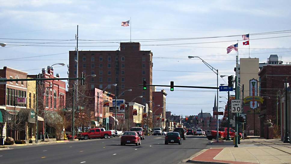
April 26, 1979 100-525 Garrison Ave.; also roughly bounded by 13th St., N. B, 1st St., and Parker Ave.
35°23′18″N 94°25′37″W / 35.388333°N 94.426944°WFort Smith Second set of boundaries represents a boundary increase of June 6, 2001 Former listings
Landmark name Image Date removed Location City or Town Summary 1 Old US 71-Devil's Backbone Segment January 22, 2009 Greenwood 2 Sebastian County Road 5G Bridge October 7, 2009 County Road 5G over a tributary of West Creek
35°0′57″N 94°23′37″W / 35.01583°N 94.39361°WHartford Listed May 5, 1995 See also
- List of National Historic Landmarks in Arkansas
- National Register of Historic Places listings in Arkansas
References
- ^ The latitude and longitude information provided in this table was derived originally from the National Register Information System, which has been found to be fairly accurate for about 99% of listings. For about 1% of NRIS original coordinates, experience has shown that one or both coordinates are typos or otherwise extremely far off; some corrections may have been made. A more subtle problem causes many locations to be off by up to 150 yards, depending on location in the country: most NRIS coordinates were derived from tracing out latitude and longitudes off of USGS topographical quadrant maps created under the North American Datum of 1927, which differs from the current, highly accurate WGS84 GPS system used by Google maps. Chicago is about right, but NRIS longitudes in Washington are higher by about 4.5 seconds, and are lower by about 2.0 seconds in Maine. Latitudes differ by about 1.0 second in Florida. Some locations in this table may have been corrected to current GPS standards.
- ^ "National Register of Historic Places: Weekly List Actions". National Park Service, United States Department of the Interior. Retrieved on November 10, 2011.
- ^ Numbers represent an ordering by significant words. Various colorings, defined here, differentiate National Historic Landmark sites and National Register of Historic Places Districts from other NRHP buildings, structures, sites or objects.
- ^ "National Register Information System". National Register of Historic Places. National Park Service. . http://nrhp.focus.nps.gov/natreg/docs/All_Data.html.
- ^ Location derived from this National Park Service map; the NRIS lists the site as "Address unknown at this time"
- ^ Location derived from this Arkansas Historic Preservation document; the NRIS lists the site as "Address unknown at this time"
U.S. National Register of Historic Places Topics Lists by states Alabama • Alaska • Arizona • Arkansas • California • Colorado • Connecticut • Delaware • Florida • Georgia • Hawaii • Idaho • Illinois • Indiana • Iowa • Kansas • Kentucky • Louisiana • Maine • Maryland • Massachusetts • Michigan • Minnesota • Mississippi • Missouri • Montana • Nebraska • Nevada • New Hampshire • New Jersey • New Mexico • New York • North Carolina • North Dakota • Ohio • Oklahoma • Oregon • Pennsylvania • Rhode Island • South Carolina • South Dakota • Tennessee • Texas • Utah • Vermont • Virginia • Washington • West Virginia • Wisconsin • WyomingLists by territories Lists by associated states Other Municipalities and communities of Sebastian County, Arkansas Cities Barling | Fort Smith | Greenwood | Hackett | Hartford | Huntington | Lavaca | Mansfield‡
Towns Footnotes ‡This populated place also has portions in an adjacent county or counties
Categories:- Sebastian County, Arkansas
- National Register of Historic Places in Arkansas by county
-


Wikimedia Foundation. 2010.