- National Register of Historic Places listings in Seattle, Washington
-
List of entries on the National Register of Historic Places in Seattle, Washington
-
- This National Park Service list is complete through NPS recent listings posted November 10, 2011.[1]
Contents
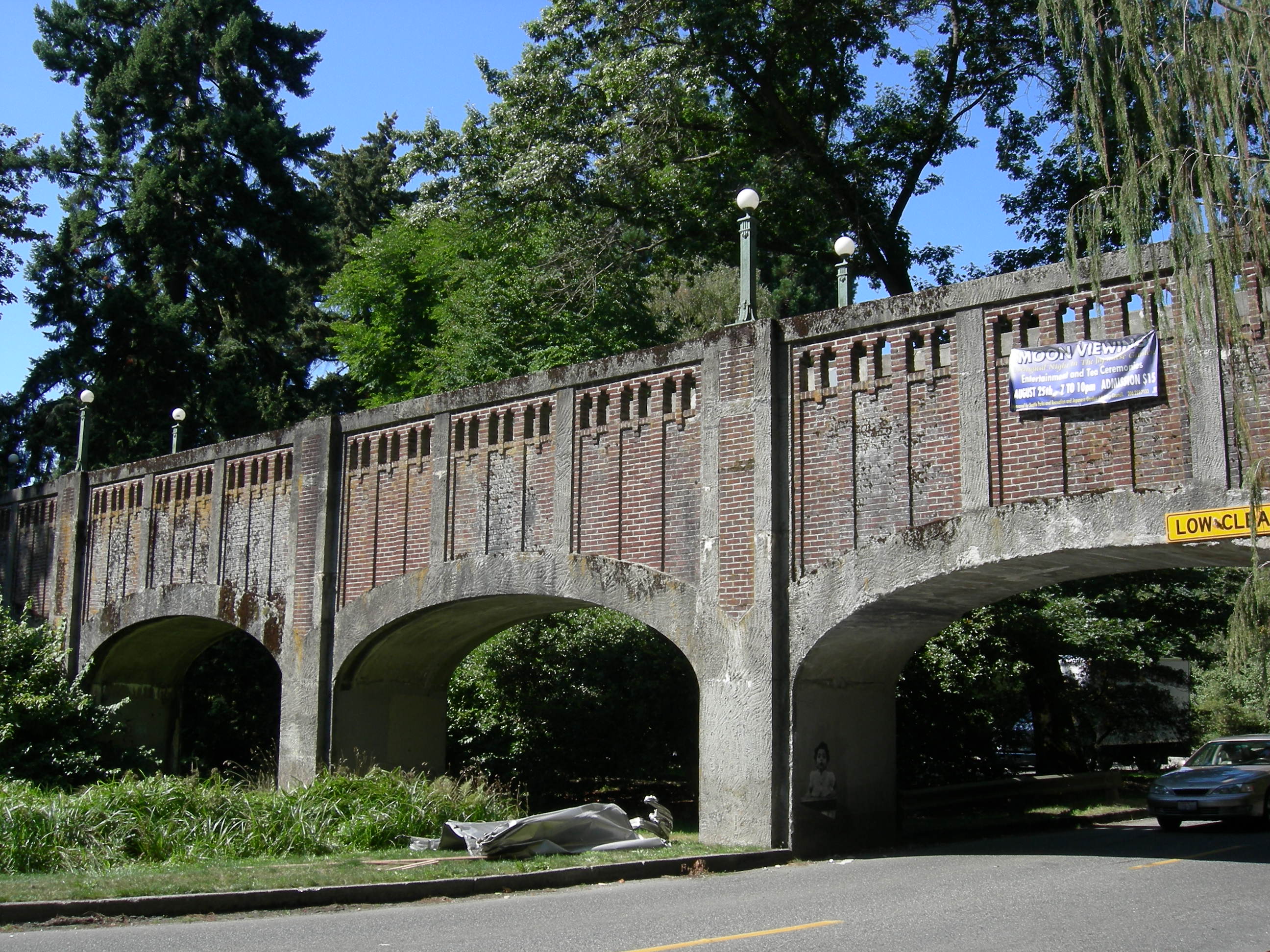
[2] Landmark name[3] Image Date listed Location City or Town Summary 1 12th Avenue South Bridge 
July 16, 1982 12th Ave., S. over Dearborn St.
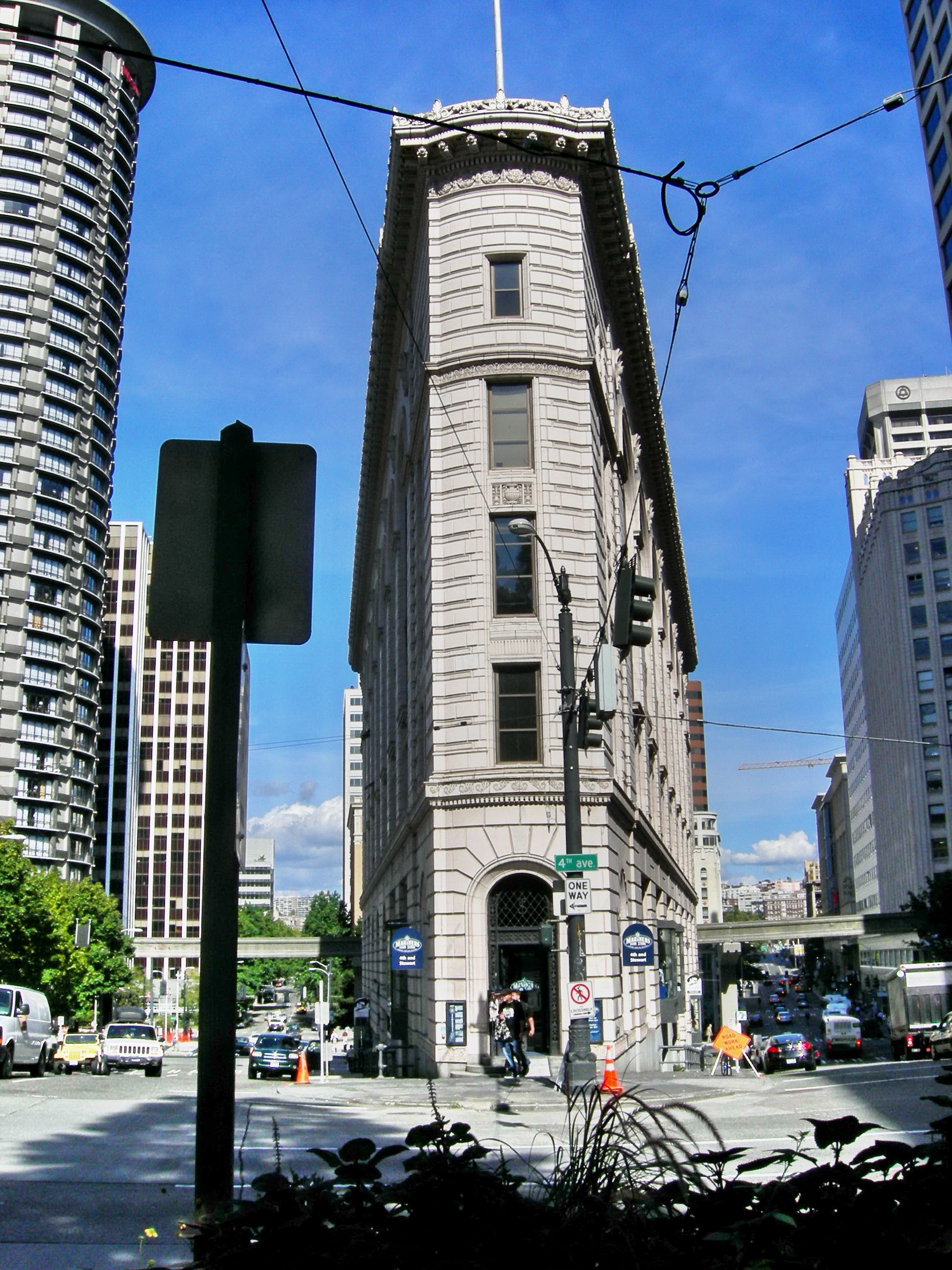
47°35′46″N 122°18′58″W / 47.59611°N 122.31611°WSeattle Historic Bridges and Tunnels in Washington TR 2 1411 Fourth Avenue Building 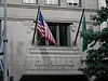
May 28, 1991 1411 Fourth Ave.
47°36′34″N 122°20′6″W / 47.60944°N 122.335°WSeattle 3 14th Avenue South Bridge 
July 16, 1982 Spans Duwamish River
47°34′13″N 122°21′2″W / 47.57028°N 122.35056°WSeattle Historic Bridges and Tunnels in Washington TR; demolished 2010 4 Admiral Theater 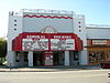
December 11, 1989 2343 California Avenue SW
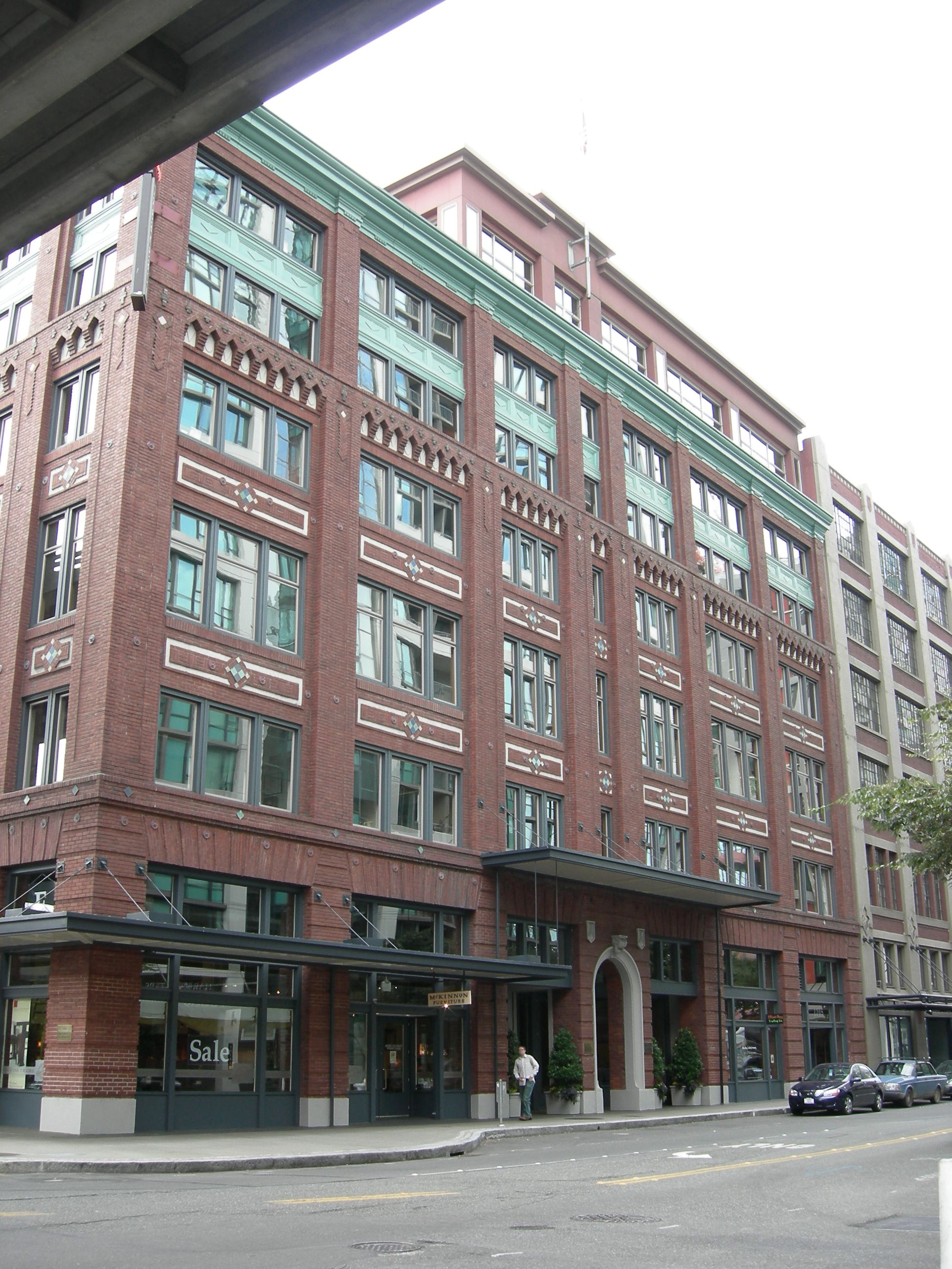
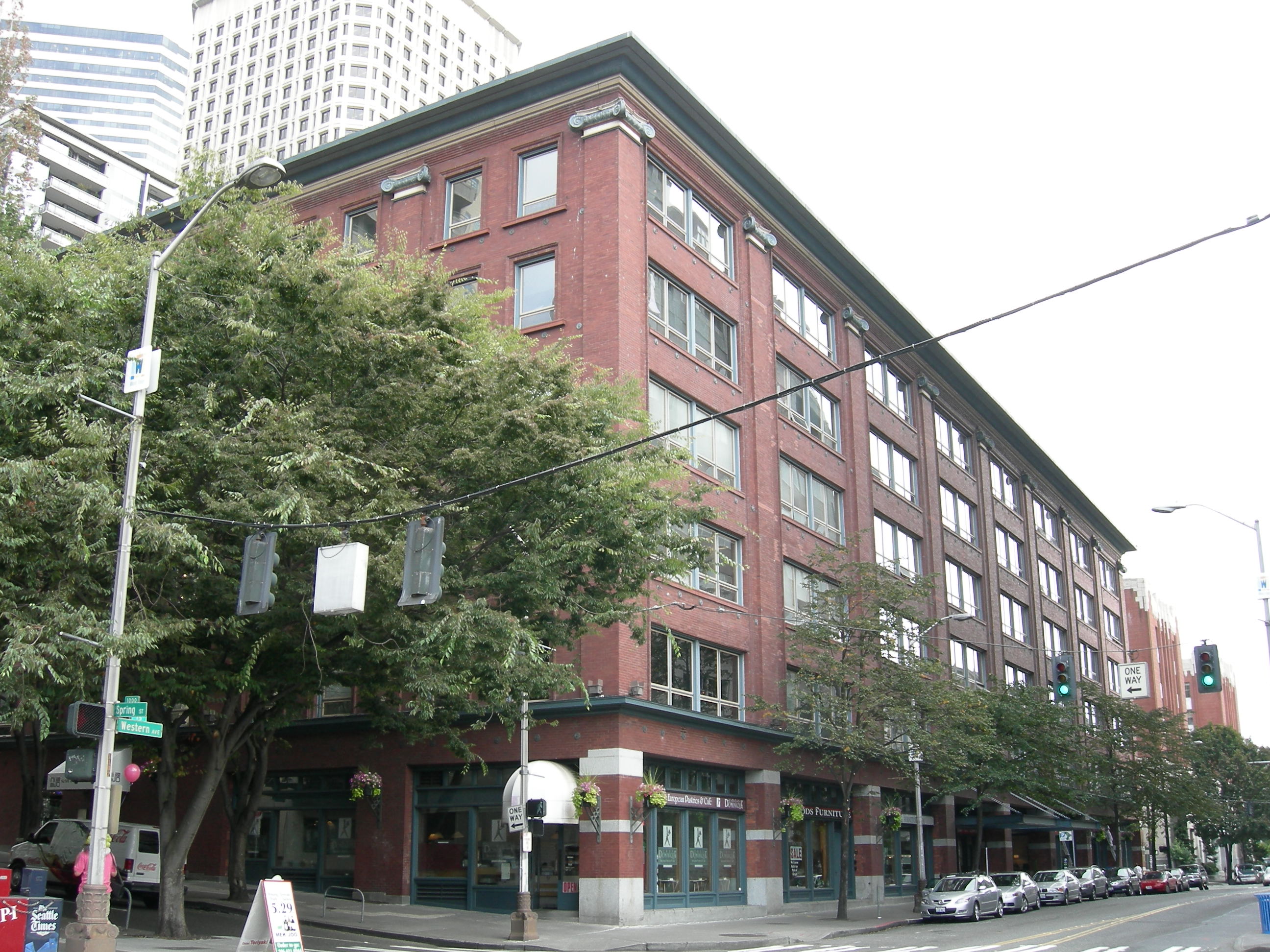
47°34′58″N 122°23′11″W / 47.58276°N 122.38646°WSeattle 5 Agen Warehouse 
January 23, 1998 1201 Western Ave.
47°36′21″N 122°20′15″W / 47.60583°N 122.3375°WSeattle 6 Alaska Trade Building 
May 6, 1971 1915-1919 1st Ave.
47°36′39″N 122°20′28″W / 47.61083°N 122.34111°WSeattle 7 John B. Allen School 
May 11, 2011 6532 Phinney Ave. N.
47°40′38″N 122°21′14″W / 47.67722°N 122.35389°WSeattle 8 Arboretum Sewer Trestle 
July 16, 1982 Crosses 26th Ave., E. between Roanoke and E. Miller St.
47°38′33″N 122°17′52″W / 47.6425°N 122.29778°WSeattle Historic Bridges and Tunnels in Washington TR 9 Arctic Building 
November 28, 1978 306 Cherry St.
47°36′14″N 122°19′50″W / 47.60389°N 122.33056°WSeattle 10 Assay Office 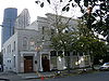
March 16, 1972 613 9th Ave.
47°36′22″N 122°19′25″W / 47.60611°N 122.32361°WSeattle 11 Aurora Avenue Bridge 
July 16, 1982 Aurora Ave., N. over Lake Washington Ship Canal
47°39′10″N 122°20′46″W / 47.65278°N 122.34611°WSeattle Historic Bridges and Tunnels in Washington TR 12 Ballard Avenue Historic District 
July 1, 1976 Ballard Ave. from NW Market to NW Dock Sts.
47°39′59″N 122°22′55″W / 47.66639°N 122.38194°WSeattle 13 Ballard Bridge 
July 16, 1982 Spans Lake Washington Ship Canal
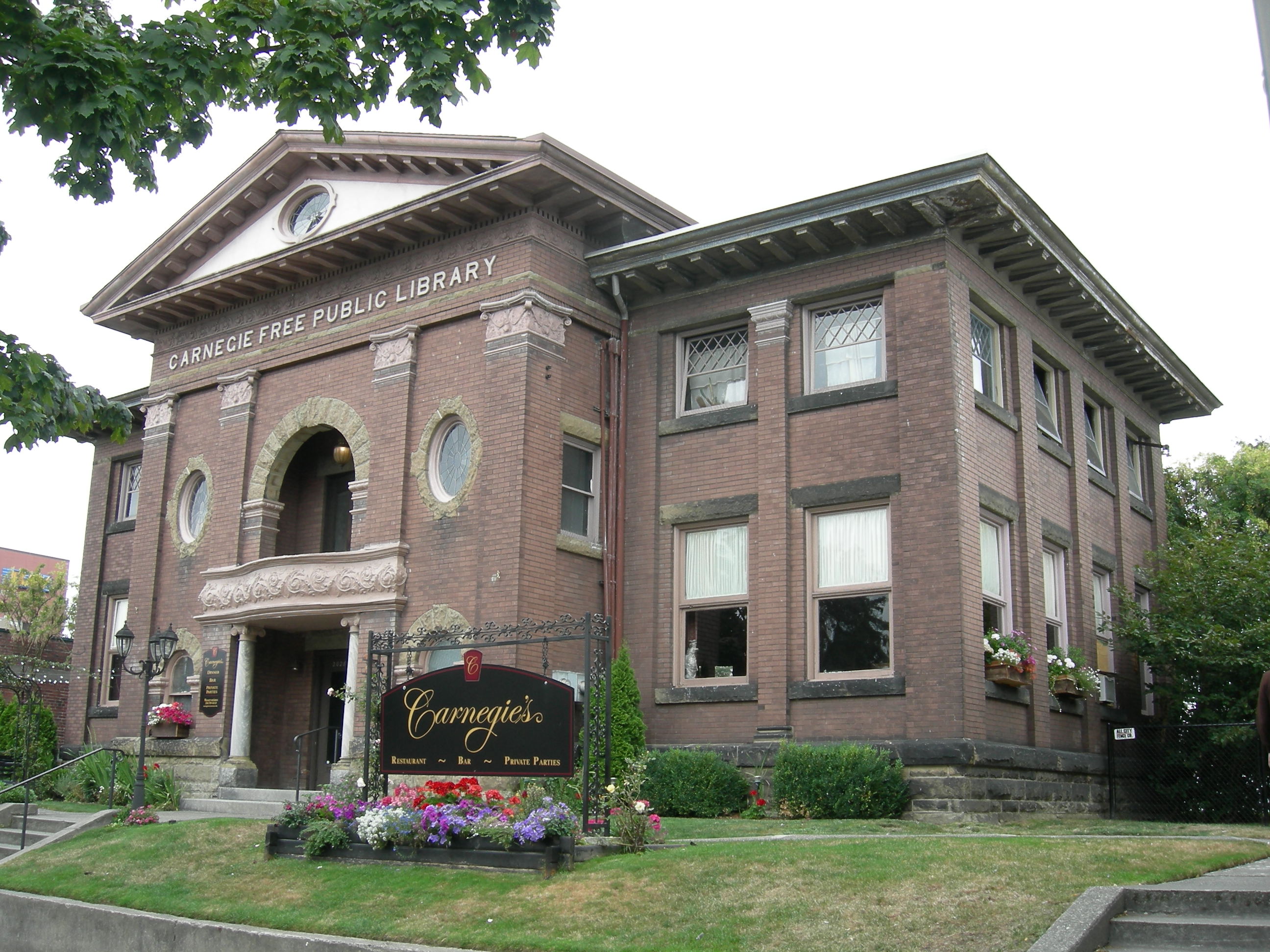
47°39′47″N 122°22′30″W / 47.66306°N 122.375°WSeattle Historic Bridges and Tunnels in Washington TR 14 Ballard Carnegie Library 
June 15, 1979 2026 N. West Market St.
47°40′8″N 122°22′54″W / 47.66889°N 122.38167°WSeattle Carnegie Libraries of Washington TR (AD) 15 Ballard-Howe House 
March 26, 1979 22 W. Highland Dr.
47°37′48″N 122°21′23″W / 47.63°N 122.35639°WSeattle 16 Richard A. Ballinger House 
May 28, 1976 1733 39th Ave.
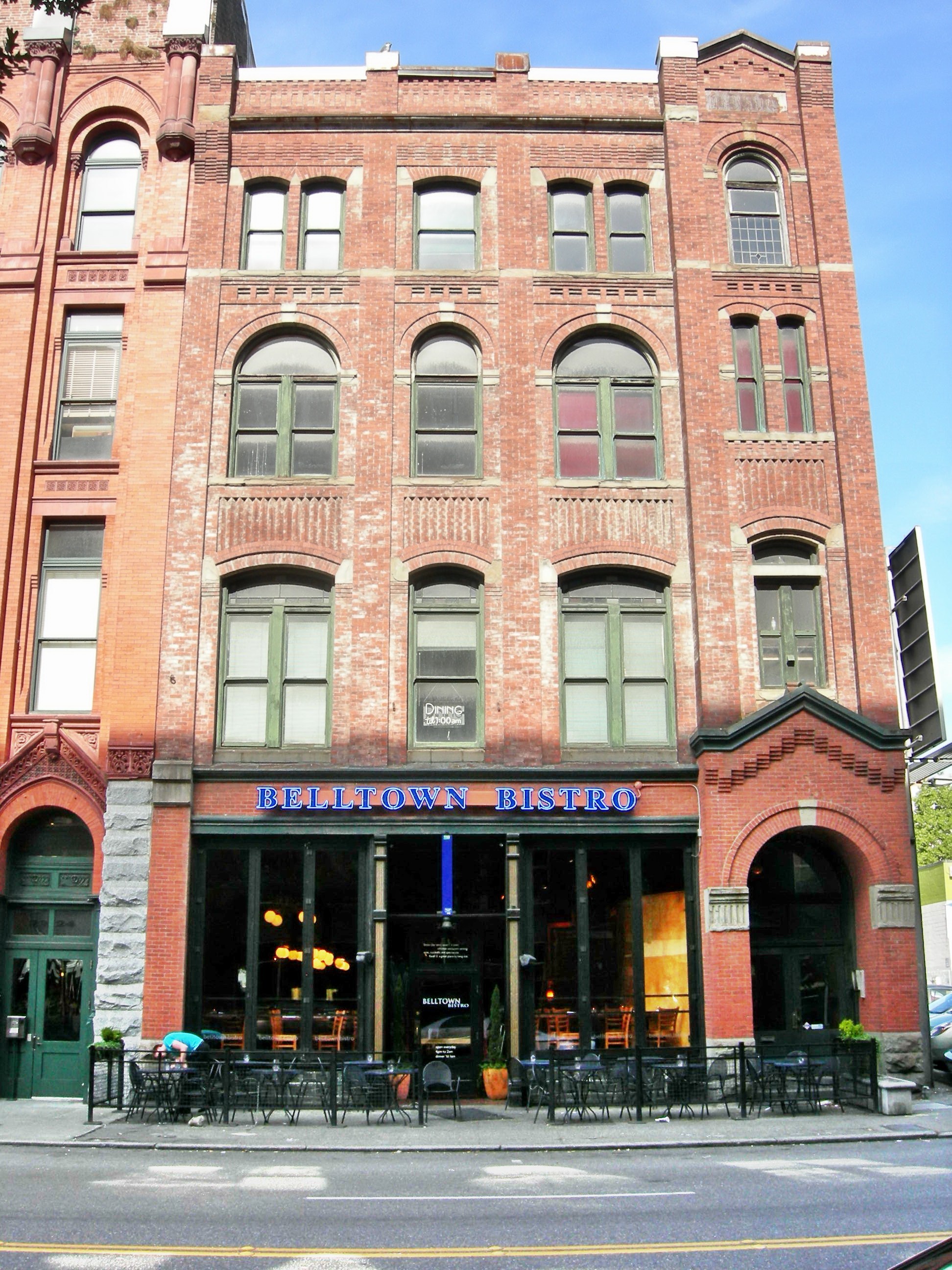
47°37′4″N 122°16′56″W / 47.61778°N 122.28222°WSeattle 17 Barnes Building 
February 24, 1975 2320-2322 1st Ave.
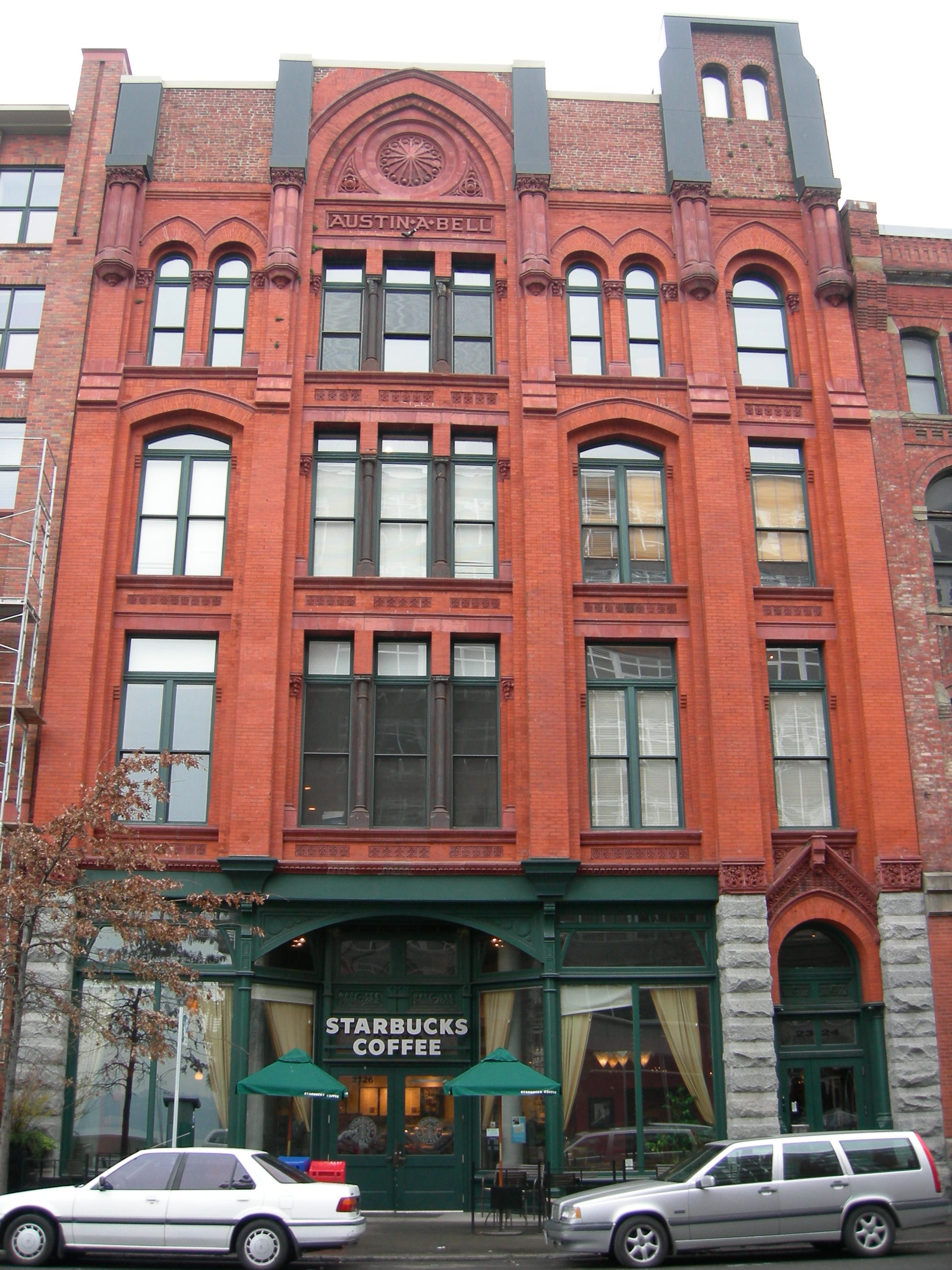
47°36′49″N 122°20′42″W / 47.61361°N 122.345°WSeattle 18 Bell Apartments 
July 12, 1974 2326 1st Ave.
47°36′51″N 122°20′44″W / 47.61417°N 122.34556°WSeattle 19 Jesse C. Bowles House 
November 6, 1986 2540 Shoreland Dr. S
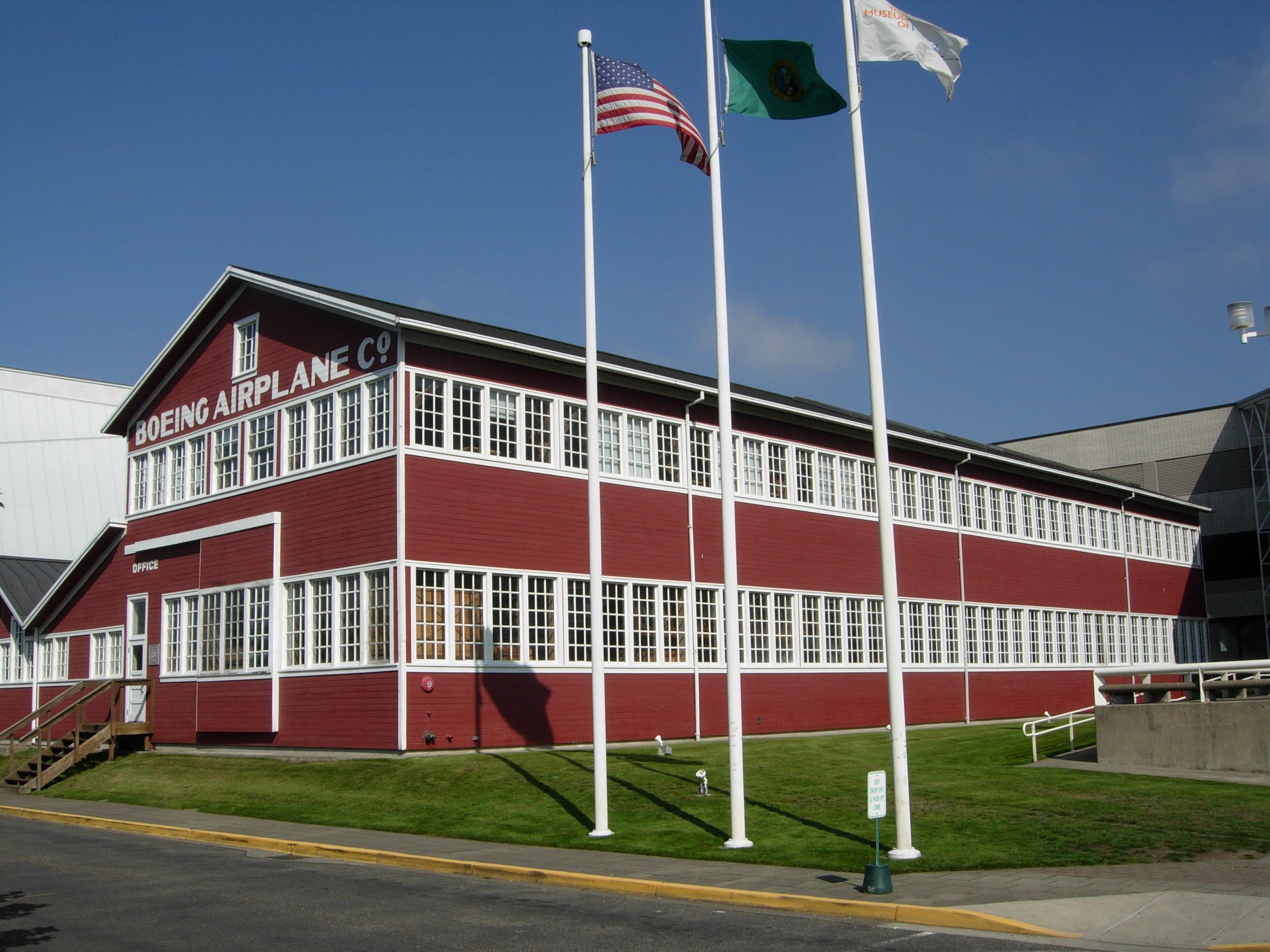
47°34′51″N 122°17′2″W / 47.58083°N 122.28389°WSeattle 20 Building No. 105, Boeing Airplane Company 
August 26, 1971 Purcell Ave.
47°31′6″N 122°17′42″W / 47.51833°N 122.295°WSeattle 21 Butterworth Building 
May 14, 1971 1921 1st Ave.
47°36′39″N 122°20′28″W / 47.61083°N 122.34111°WSeattle 22 Camlin Hotel 
March 25, 1999 1619 Ninth St.
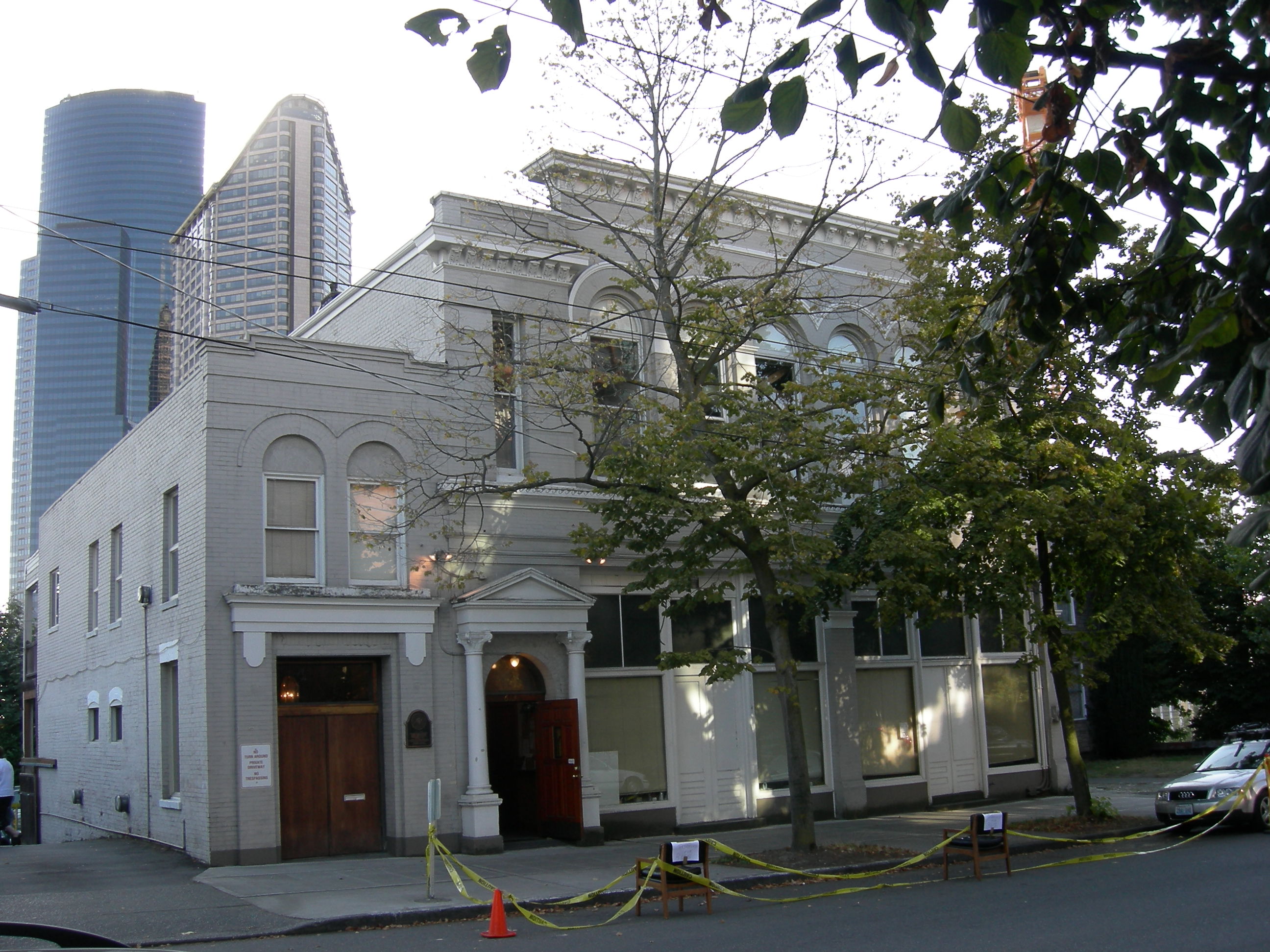
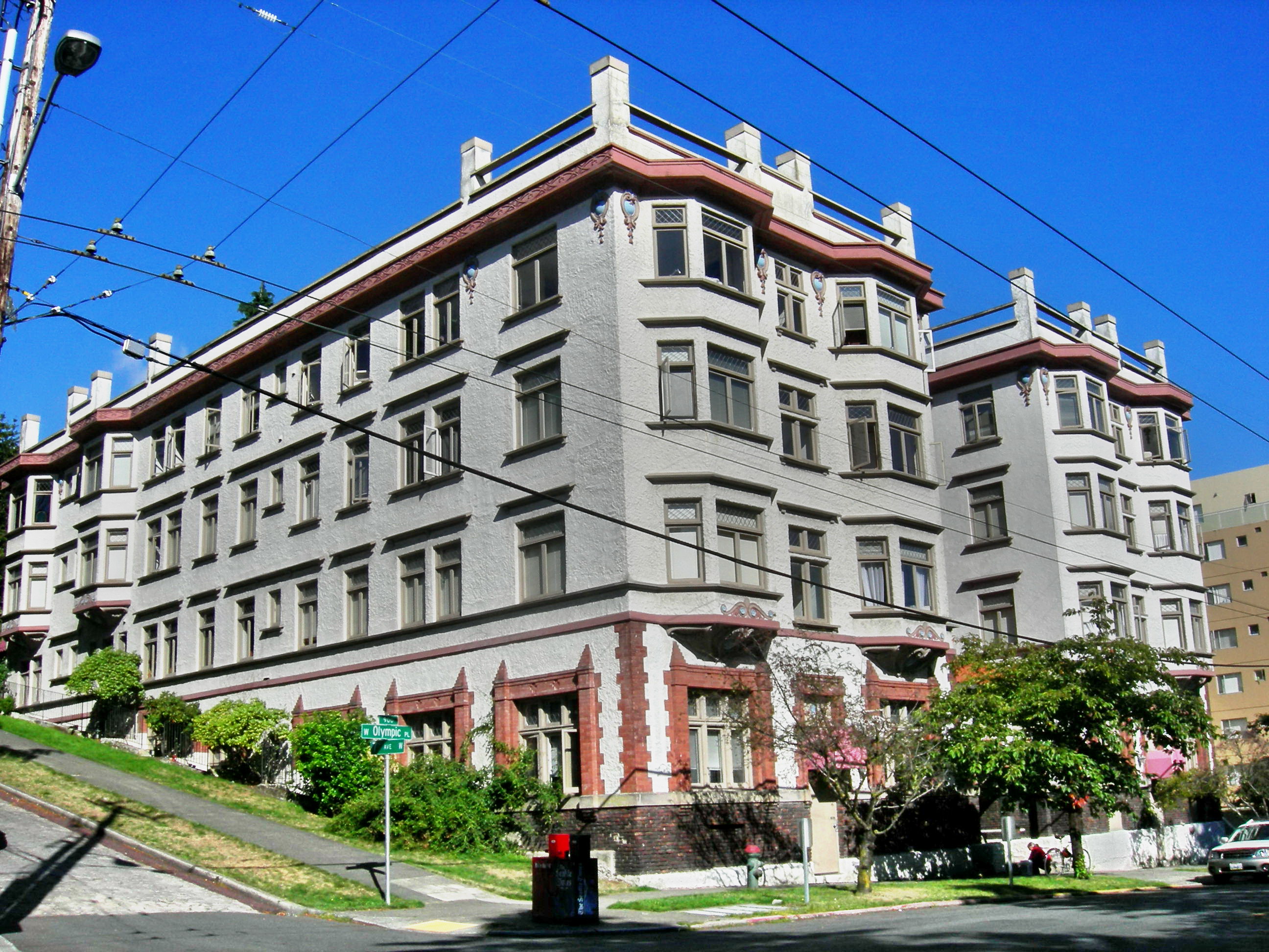
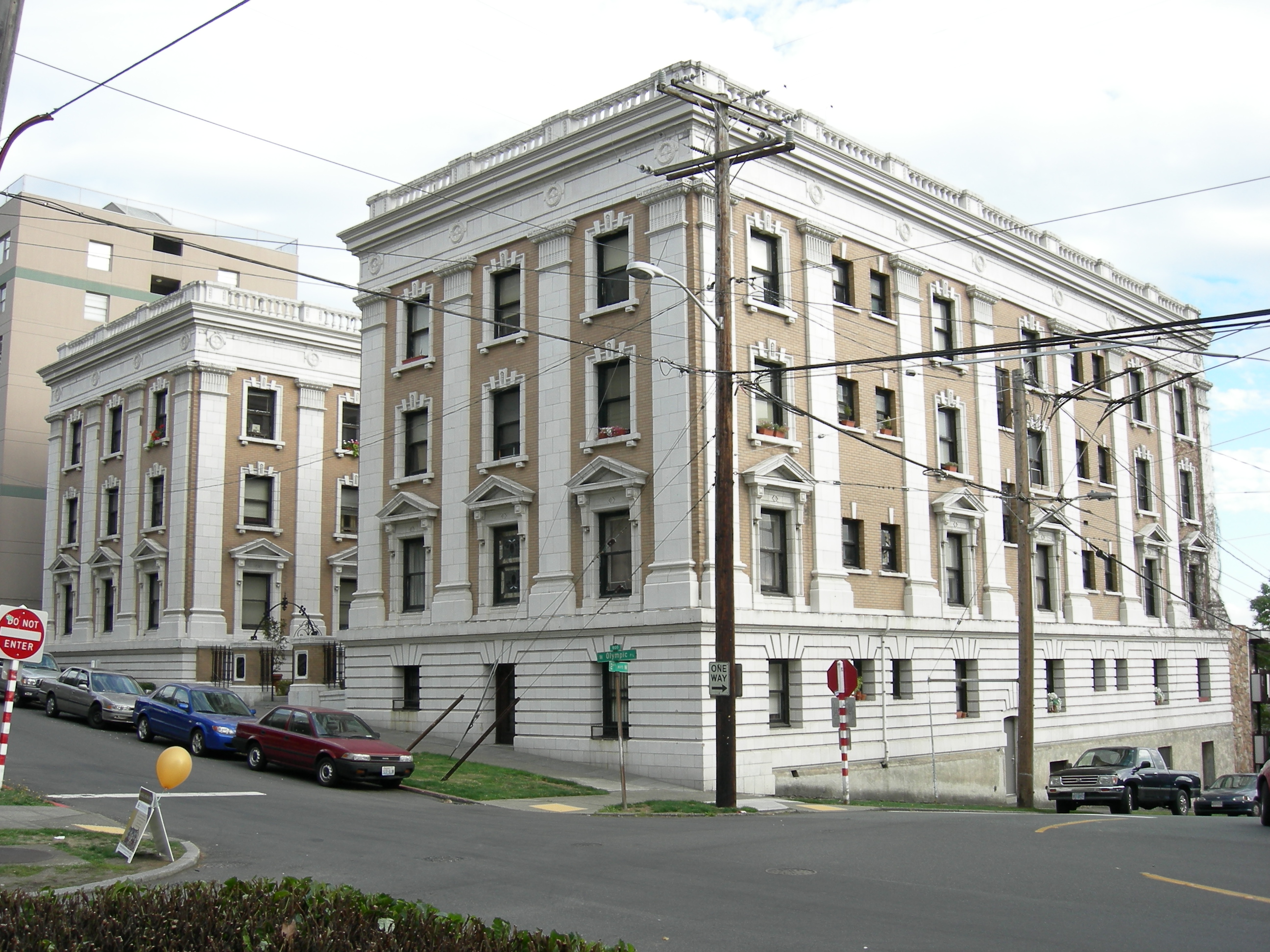
47°36′39″N 122°19′55″W / 47.61083°N 122.33194°WSeattle 23 Chelsea Family Hotel 
December 14, 1978 620 W. Olympic Pl.
47°37′41″N 122°21′53″W / 47.62806°N 122.36472°WSeattle 24 Chinese Baptist Church 
July 31, 1986 925 S. King St.
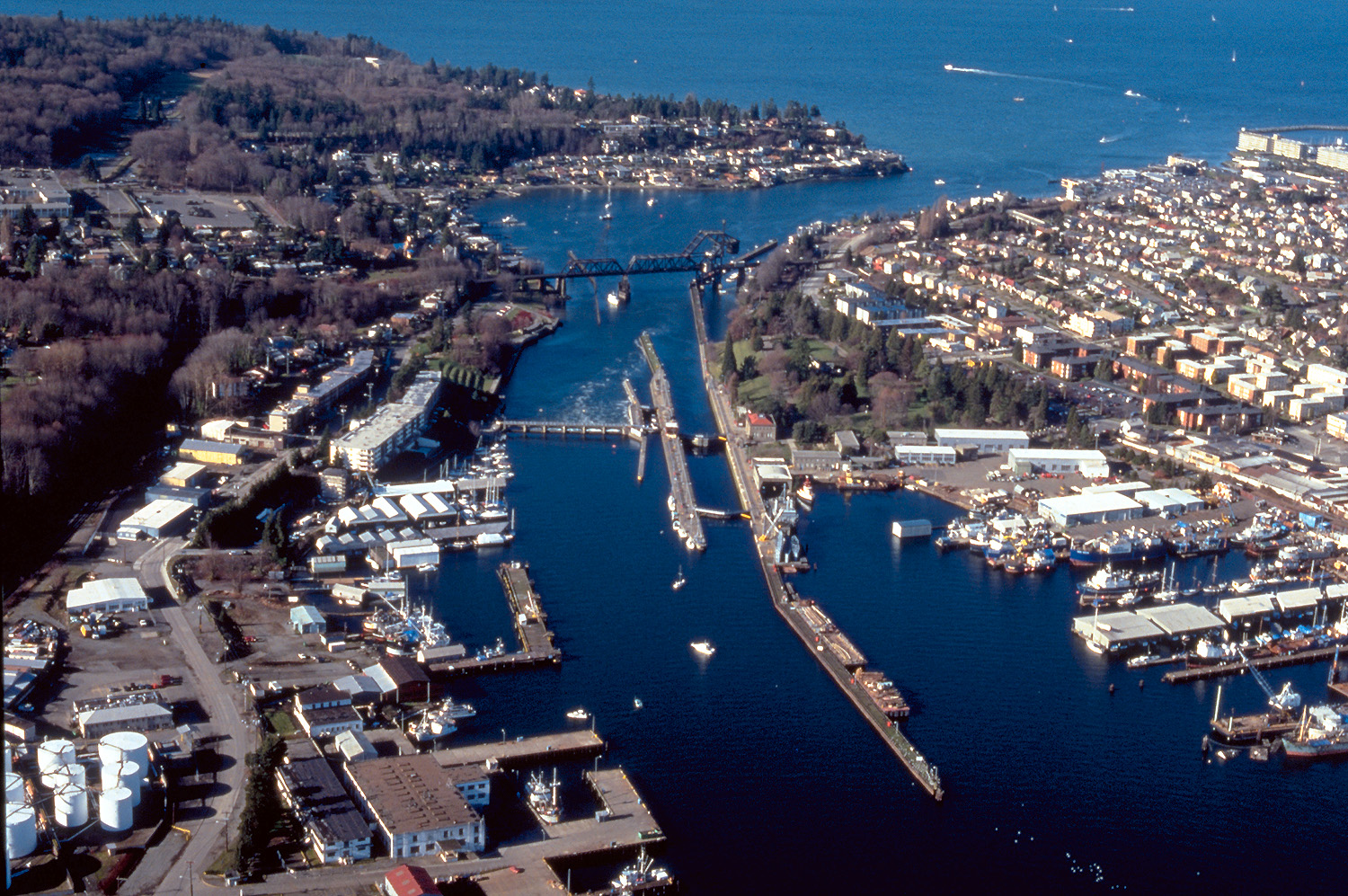
47°35′54″N 122°19′7″W / 47.59833°N 122.31861°WSeattle 25 Chittenden Locks and Lake Washington Ship Canal 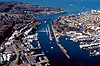
December 14, 1978 Salmon Bay
47°39′19″N 122°21′7″W / 47.65528°N 122.35194°WSeattle 26 Church of the Blessed Sacrament, Priory, and School 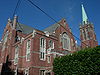
January 12, 1984 5040-5041 9th Ave., NE
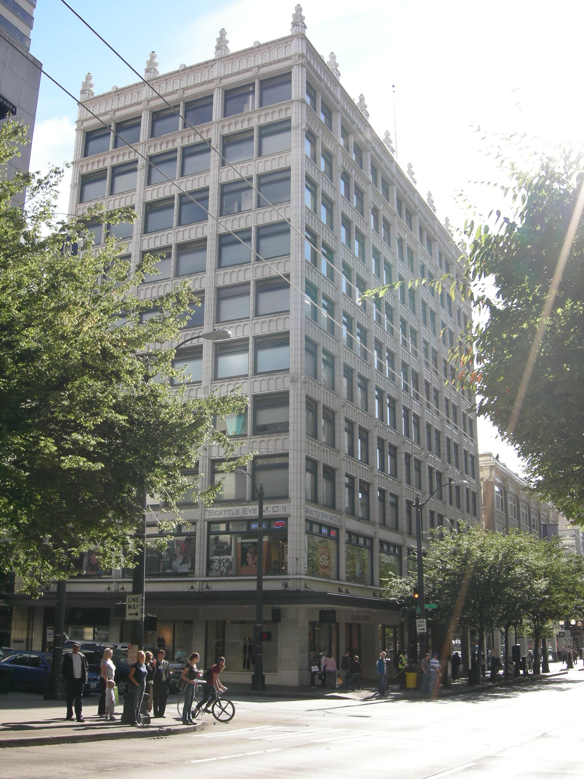
47°40′0″N 122°19′3″W / 47.666667°N 122.3175°WSeattle 27 Cobb Building 
August 3, 1984 1301-1309 4th Ave.
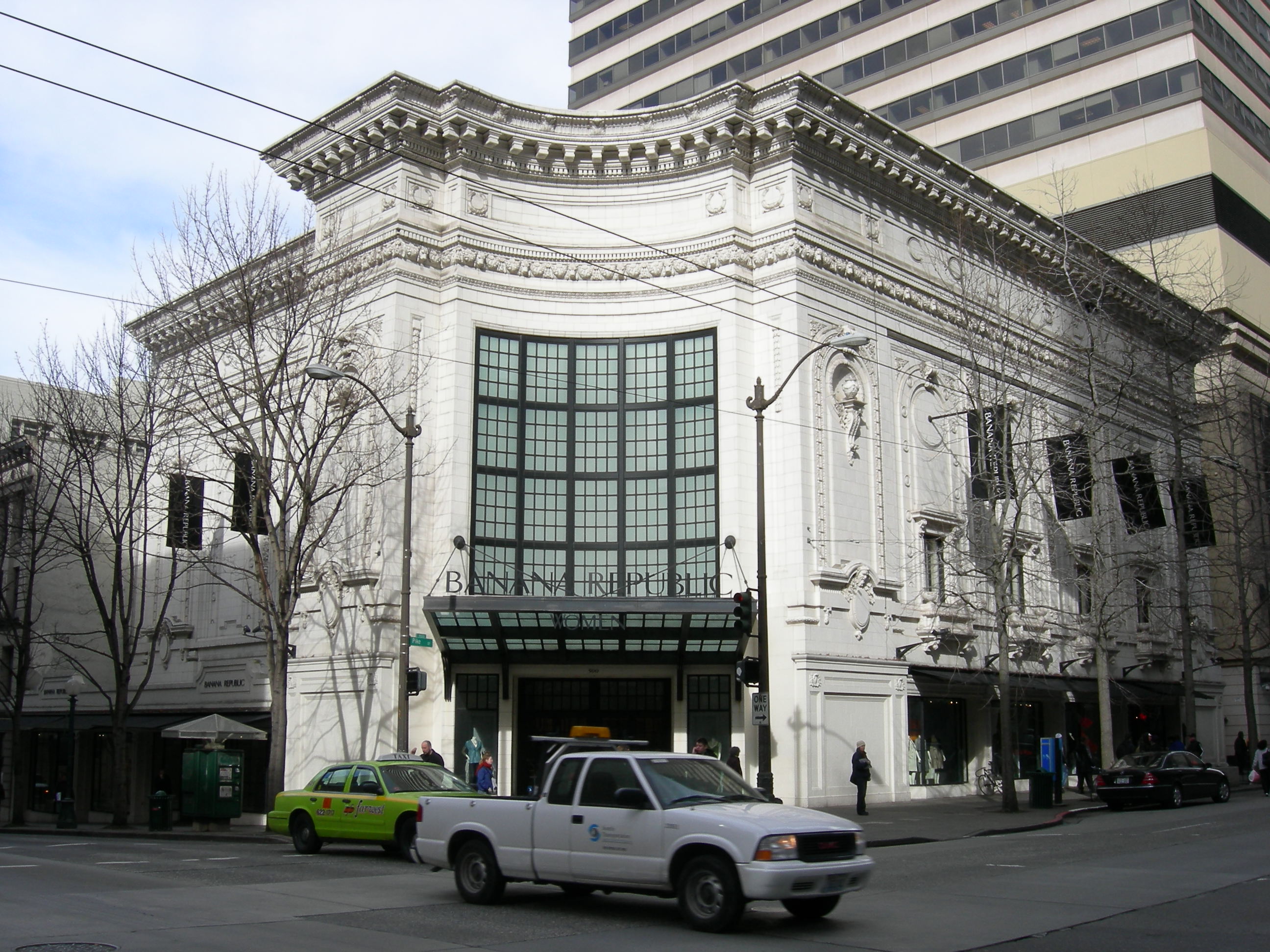
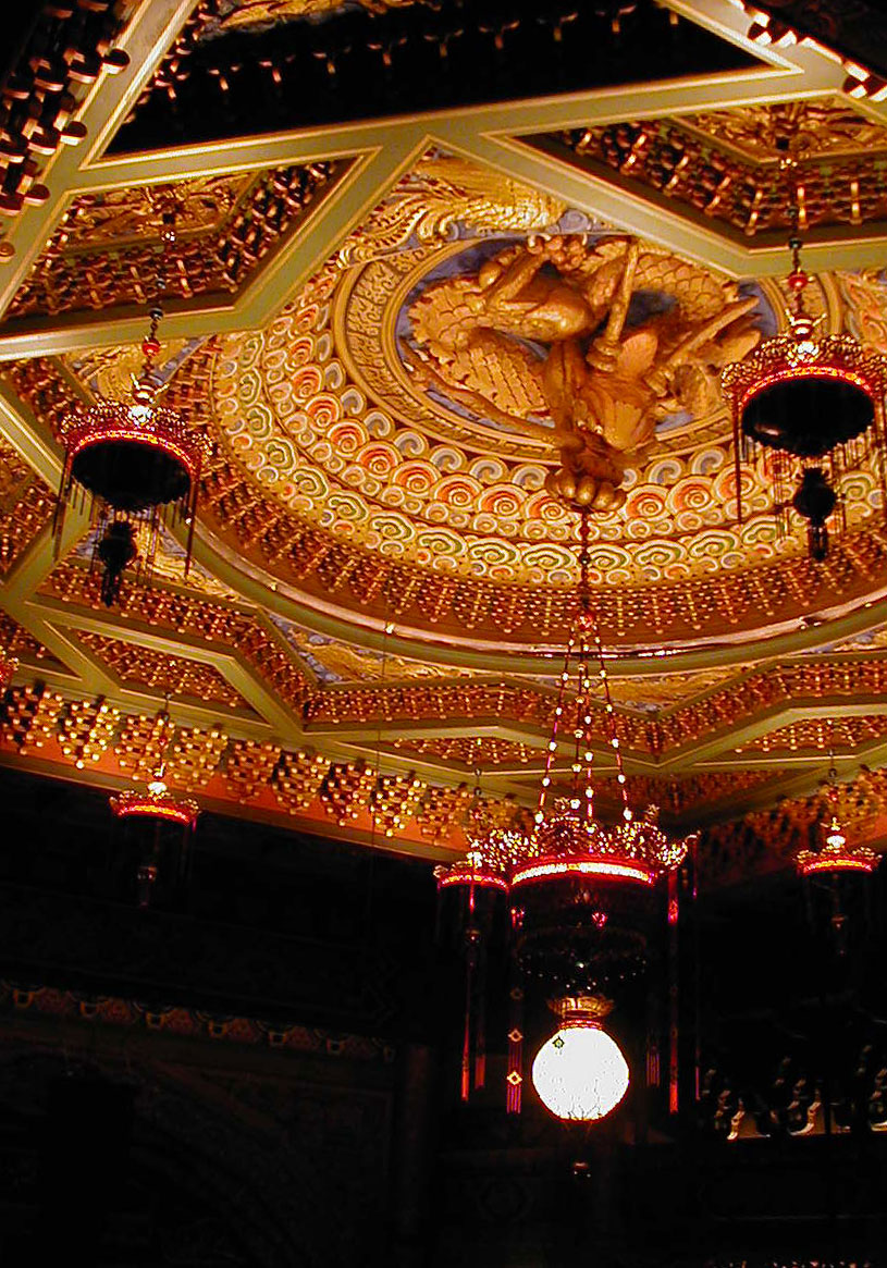
47°37′4″N 122°20′2″W / 47.61778°N 122.33389°WSeattle 28 Coliseum Theater 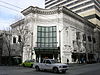
July 7, 1975 5th Ave. and Pike St.
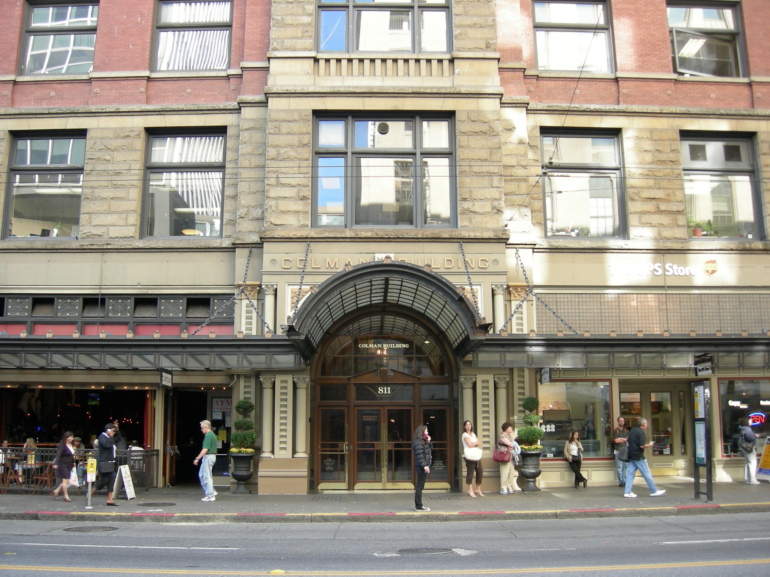
47°36′41″N 122°20′2″W / 47.61139°N 122.33389°WSeattle 29 Colman Building 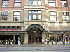
March 16, 1972 811 1st Ave.
47°36′14″N 122°20′3″W / 47.60389°N 122.33417°WSeattle 30 Colonial Hotel 
April 29, 1982 1119-1123 1st Ave.
47°36′22″N 122°20′11″W / 47.60611°N 122.33639°WSeattle 31 Columbia City Historic District 
September 8, 1980 Roughly bounded by S. Hudson and S. Alaska Sts., 35th and Rainier Aves.
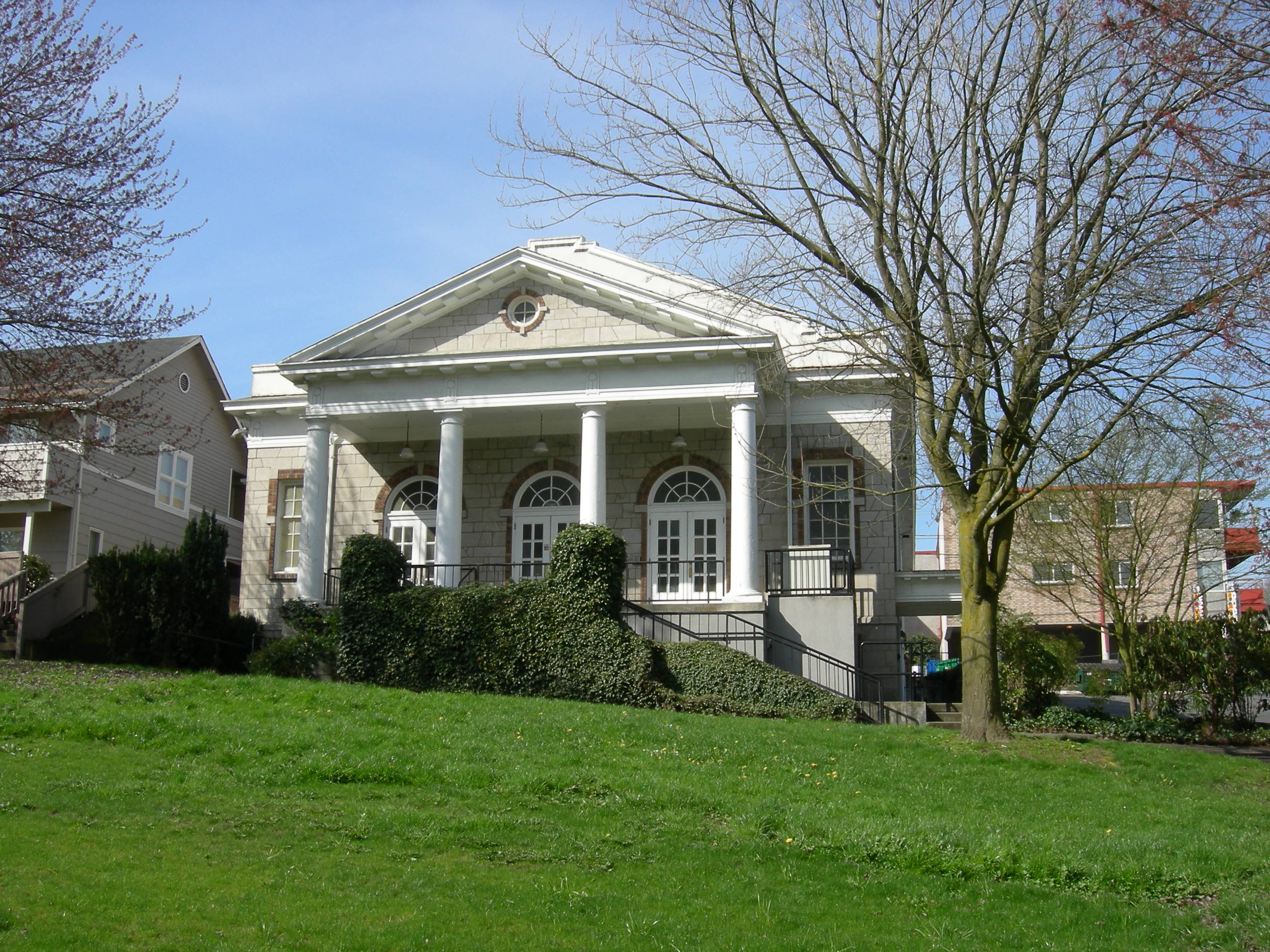
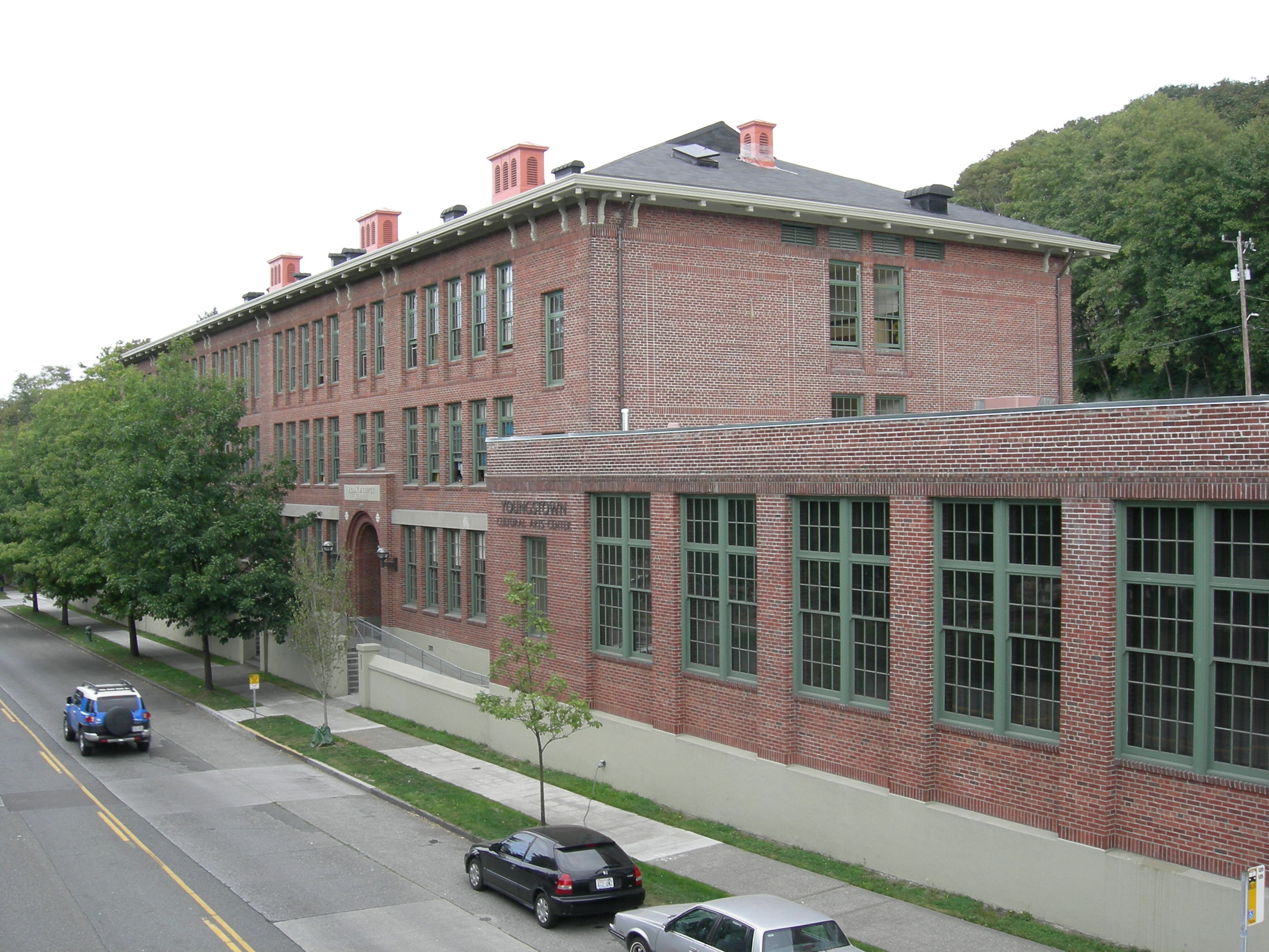
47°33′33″N 122°17′8″W / 47.55917°N 122.28556°WSeattle 32 Frank B. Cooper Elementary School 
March 26, 2003 4408 Delridge Way SW
47°33′49″N 122°21′41″W / 47.56361°N 122.36139°WSeattle 33 Cornish School 
August 29, 1977 710 E. Roy St.
47°37′32″N 122°19′19″W / 47.62556°N 122.32194°WSeattle 34 Cowen Park Bridge 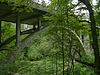
July 16, 1982 15th Ave., N.
47°40′16″N 122°18′45″W / 47.67111°N 122.3125°WSeattle Historic Bridges and Tunnels in Washington TR 35 De La Mar Apartments 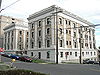
August 18, 1980 115 W. Olympic Pl.
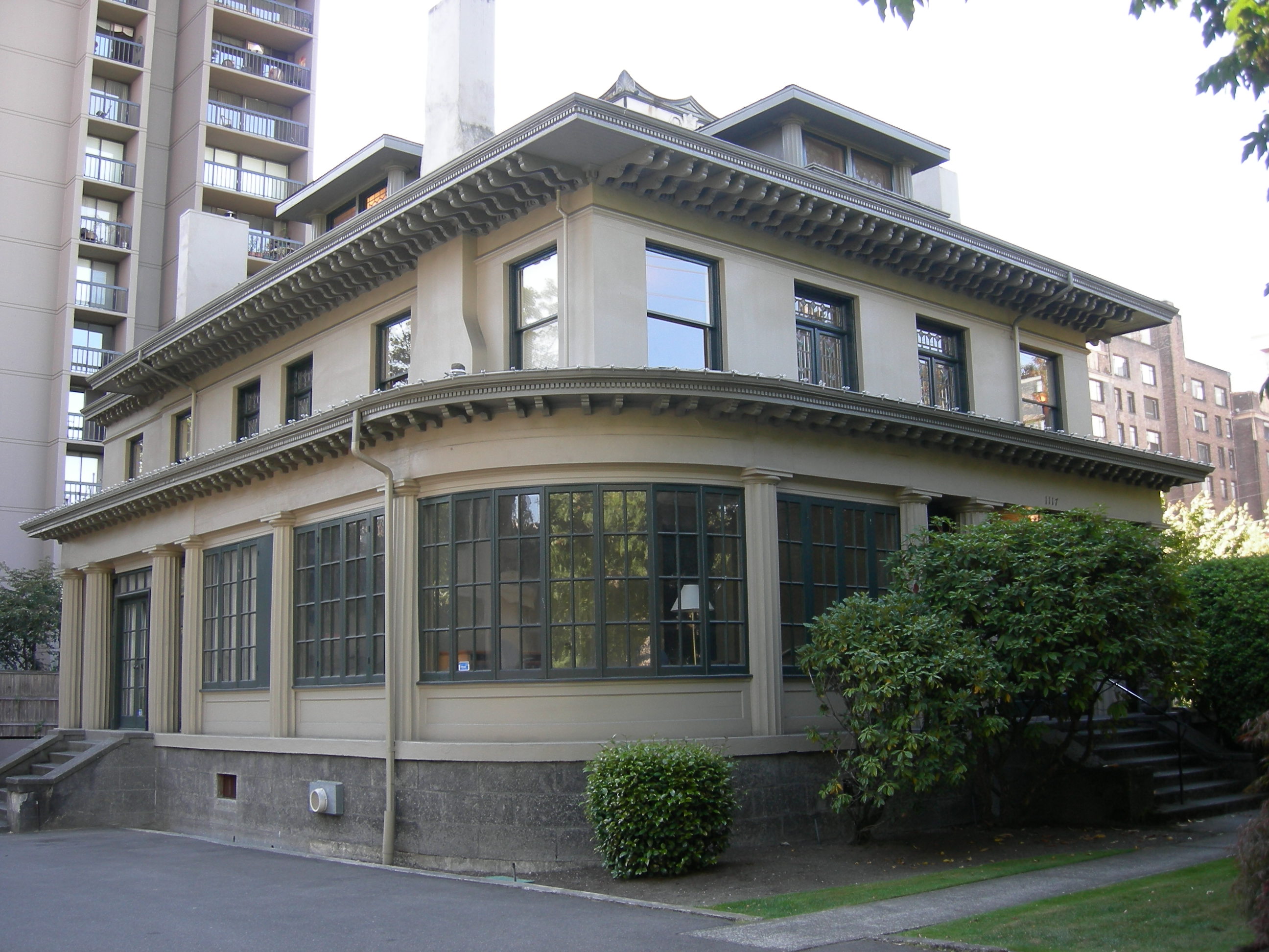
47°37′36″N 122°21′28″W / 47.62667°N 122.35778°WSeattle 36 Henry H. Dearborn House 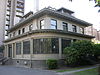
January 23, 1998 1117 Minor Ave.
47°36′40″N 122°19′27″W / 47.61111°N 122.32417°WSeattle 37 Dunn Gardens 
December 15, 1994 13533 Northshire Rd. NW.
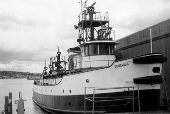
47°43′39″N 122°21′50″W / 47.7275°N 122.36389°WSeattle 38 Duwamish (fireboat) 
June 30, 1989 Lake Washington Ship Canal, Chittenden Locks
47°39′57″N 122°23′39″W / 47.66583°N 122.39417°WSeattle 39 Duwamish Number 1 Site 
October 18, 1977 Address Restricted Seattle 40 Eagles Auditorium Building 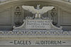
July 14, 1983 1416 7th Ave.
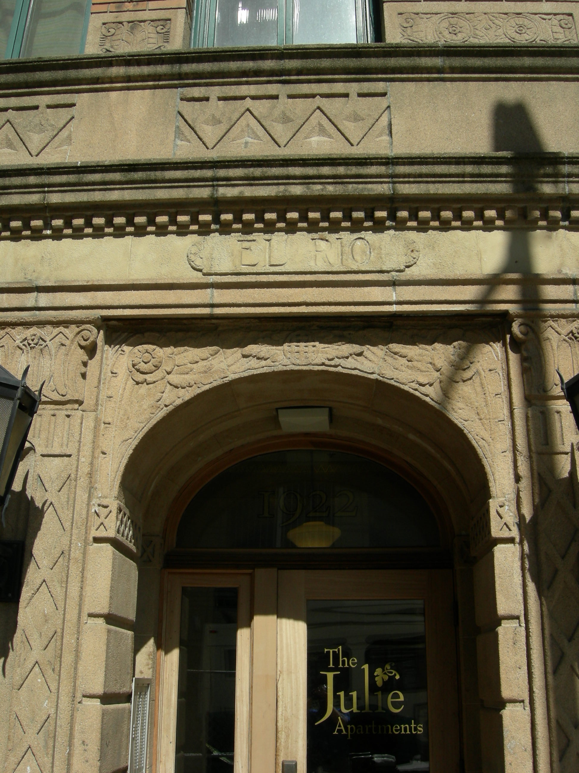
47°36′40″N 122°19′51″W / 47.61111°N 122.33083°WSeattle 41 El Rio Apartment Hotel 
November 30, 1999 1922-1928 9th Ave.
47°36′59″N 122°20′1″W / 47.61639°N 122.33361°WSeattle 42 Ellsworth Storey Cottages Historic District 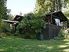
July 6, 1976 1706-1816 S. Lake Washington Blvd. and 1725-1729 S. 36th Ave.
47°35′15″N 122°17′17″W / 47.5875°N 122.28806°WSeattle 43 Ellsworth Storey Residences 
April 14, 1972 260, 270 E. Dorffel Dr.
47°37′18″N 122°17′7″W / 47.62167°N 122.28528°WSeattle 44 Federal Office Building 
April 30, 1979 909 1st Ave.
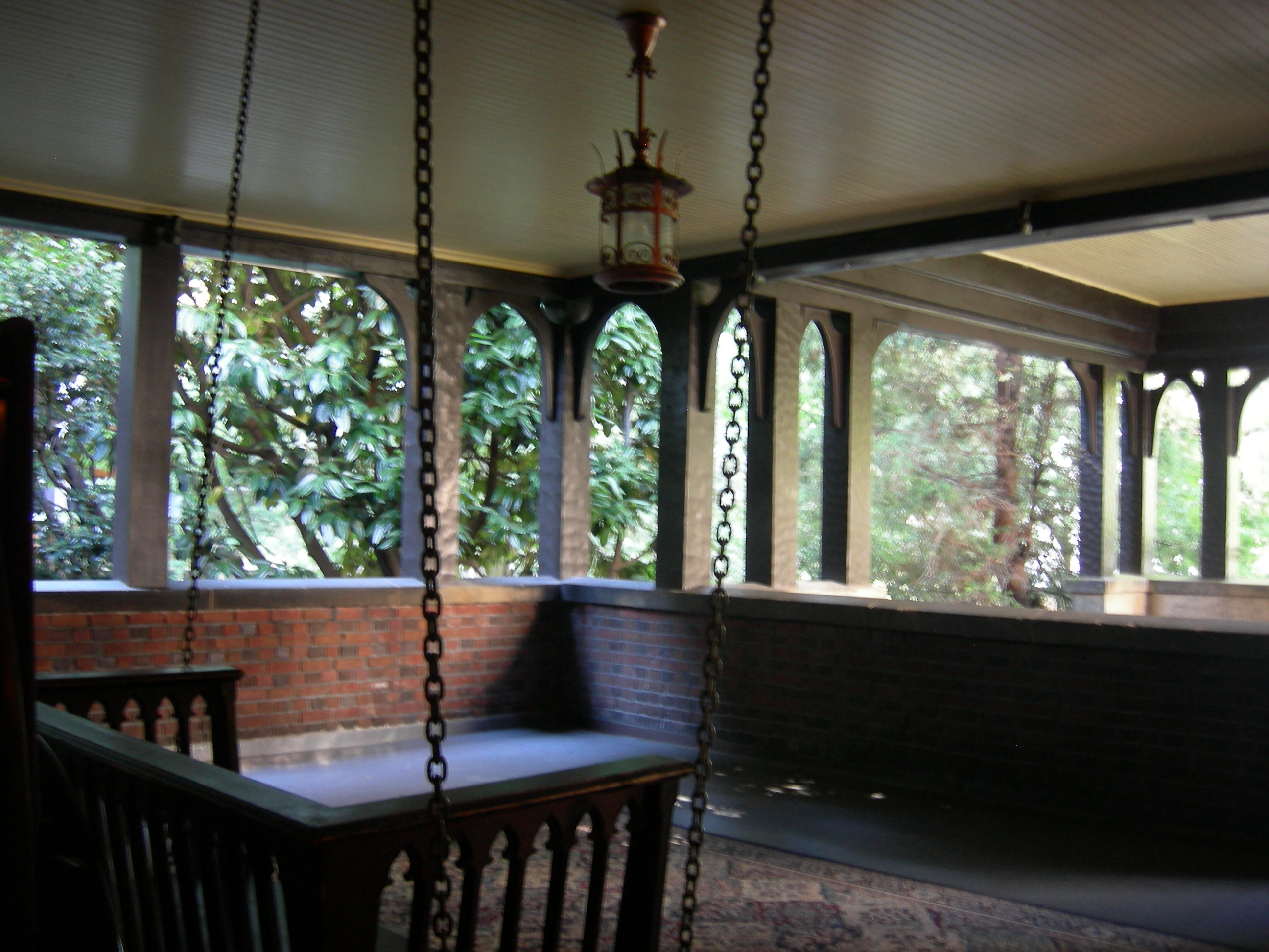
47°36′16″N 122°20′6″W / 47.60444°N 122.335°WSeattle 45 Pierre P. Ferry House 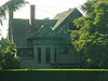
April 18, 1979 1531 10th Ave., E.
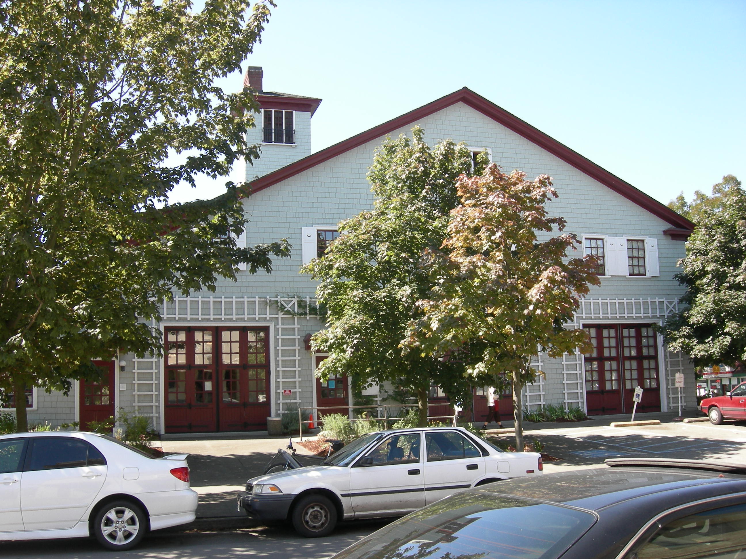
47°38′3″N 122°19′8″W / 47.63417°N 122.31889°WSeattle 46 Fire Station No. 18 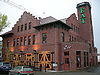
June 19, 1973 5427 Russell Ave., NW
47°40′7″N 122°22′54″W / 47.66861°N 122.38167°WSeattle 47 Fire Station No. 23 
September 10, 1971 18th Ave. and Columbia St.
47°36′32″N 122°18′26″W / 47.60889°N 122.30722°WSeattle 48 Fire Station No. 25 
April 14, 1972 1400 Harvard Ave.
47°36′49″N 122°19′15″W / 47.61361°N 122.32083°WSeattle 49 First Methodist Episcopal Church 
January 3, 2011 801 Fifth Ave.
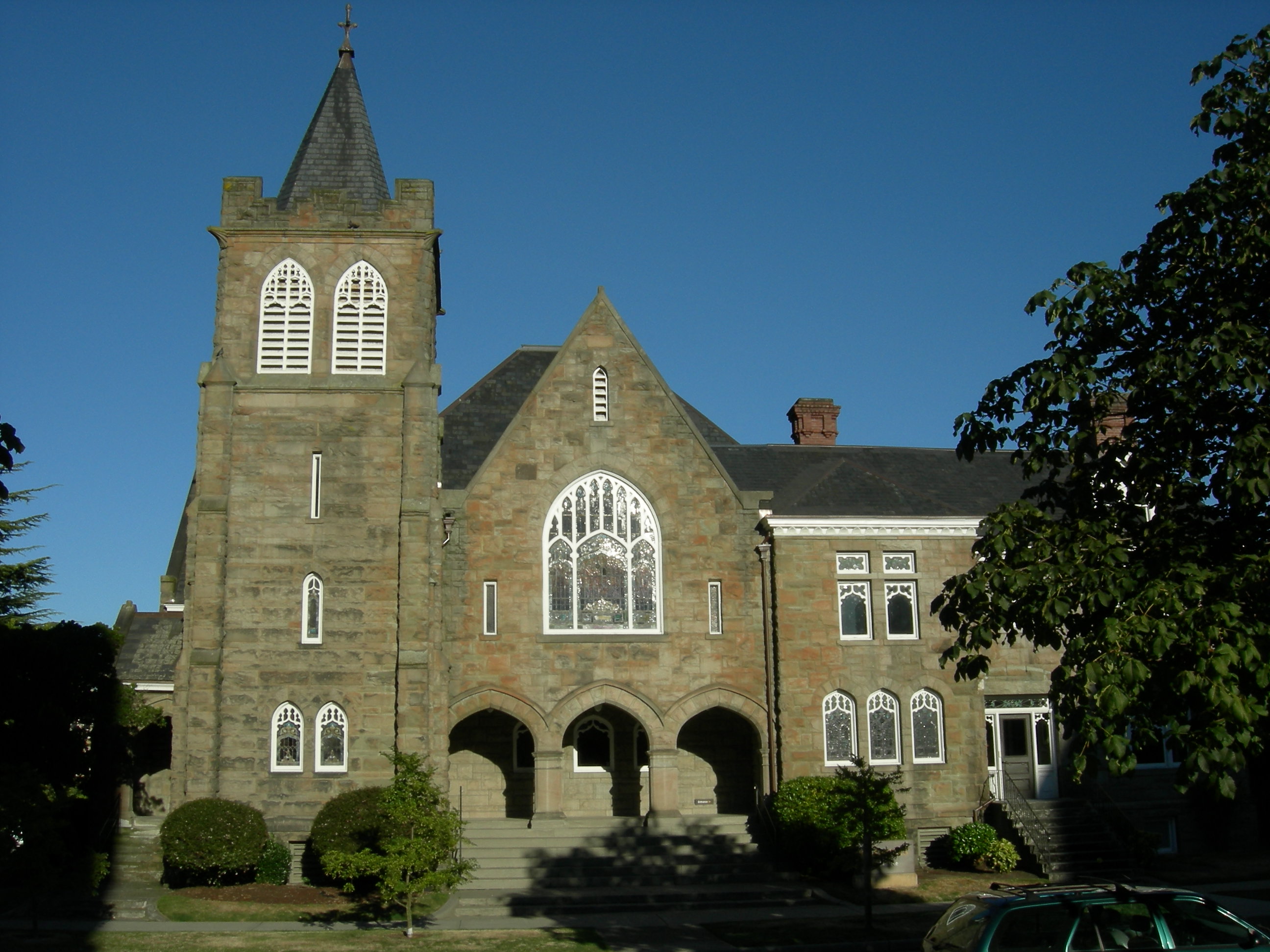
47°36′20″N 122°19′53″W / 47.60556°N 122.33139°WSeattle 50 First Methodist Protestant Church of Seattle 
May 14, 1993 128 16th Ave. E.
47°37′11″N 122°18′37″W / 47.61972°N 122.31028°WSeattle 51 Fort Lawton 
August 15, 1978 On Magnolia Bluff
47°39′33″N 122°24′49″W / 47.65917°N 122.41361°WSeattle 52 Fremont Bridge 
July 16, 1982 Spans Lake Washington Ship Canal
47°38′52″N 122°20′55″W / 47.64778°N 122.34861°WSeattle Historic Bridges and Tunnels in Washington TR 53 Fremont Building 
November 12, 1992 3419 Fremont Ave. N.
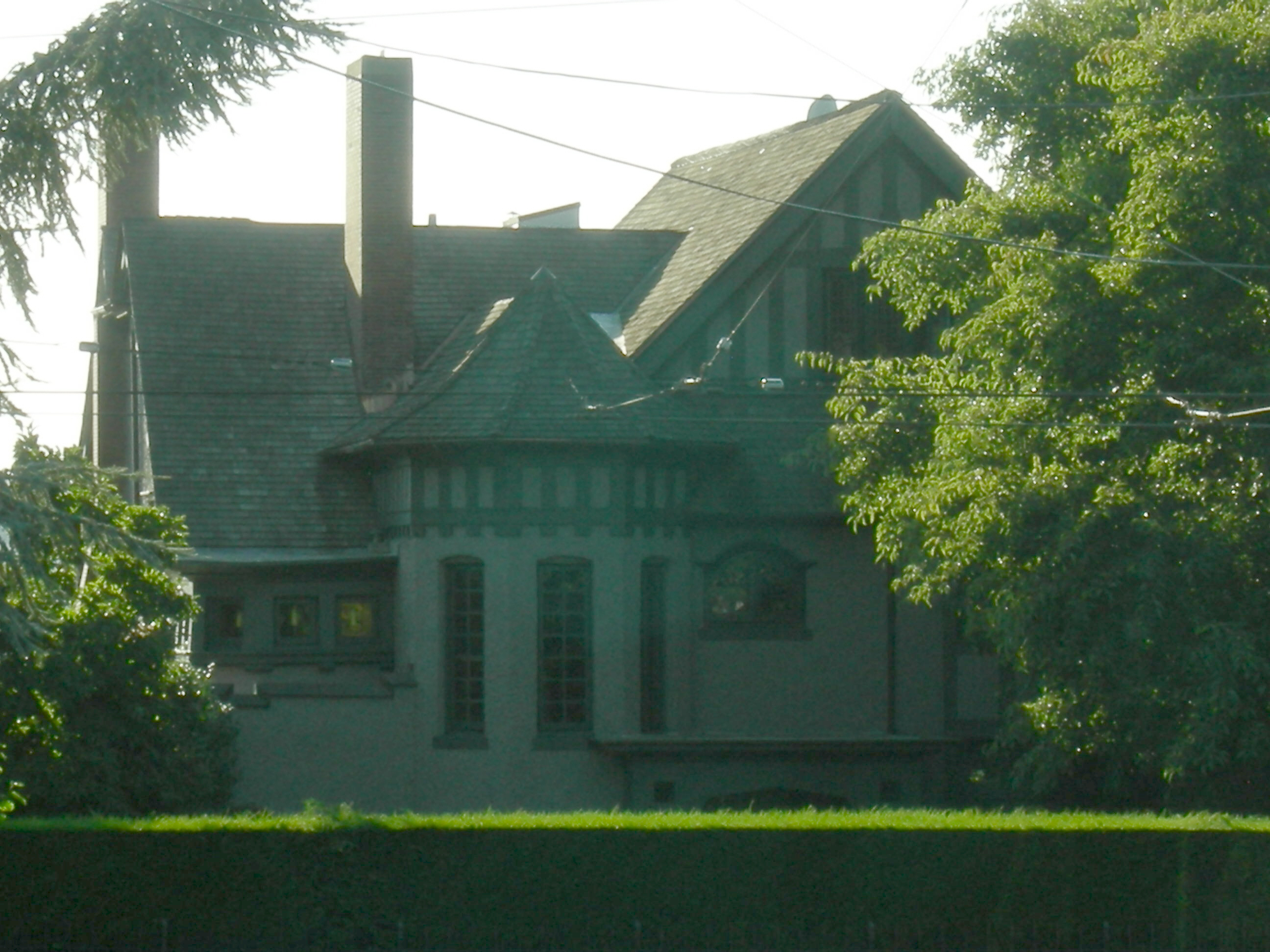
47°39′1″N 122°20′58″W / 47.65028°N 122.34944°WSeattle 54 Caroline Kline Galland House 
February 8, 1980 1605 17th Ave.
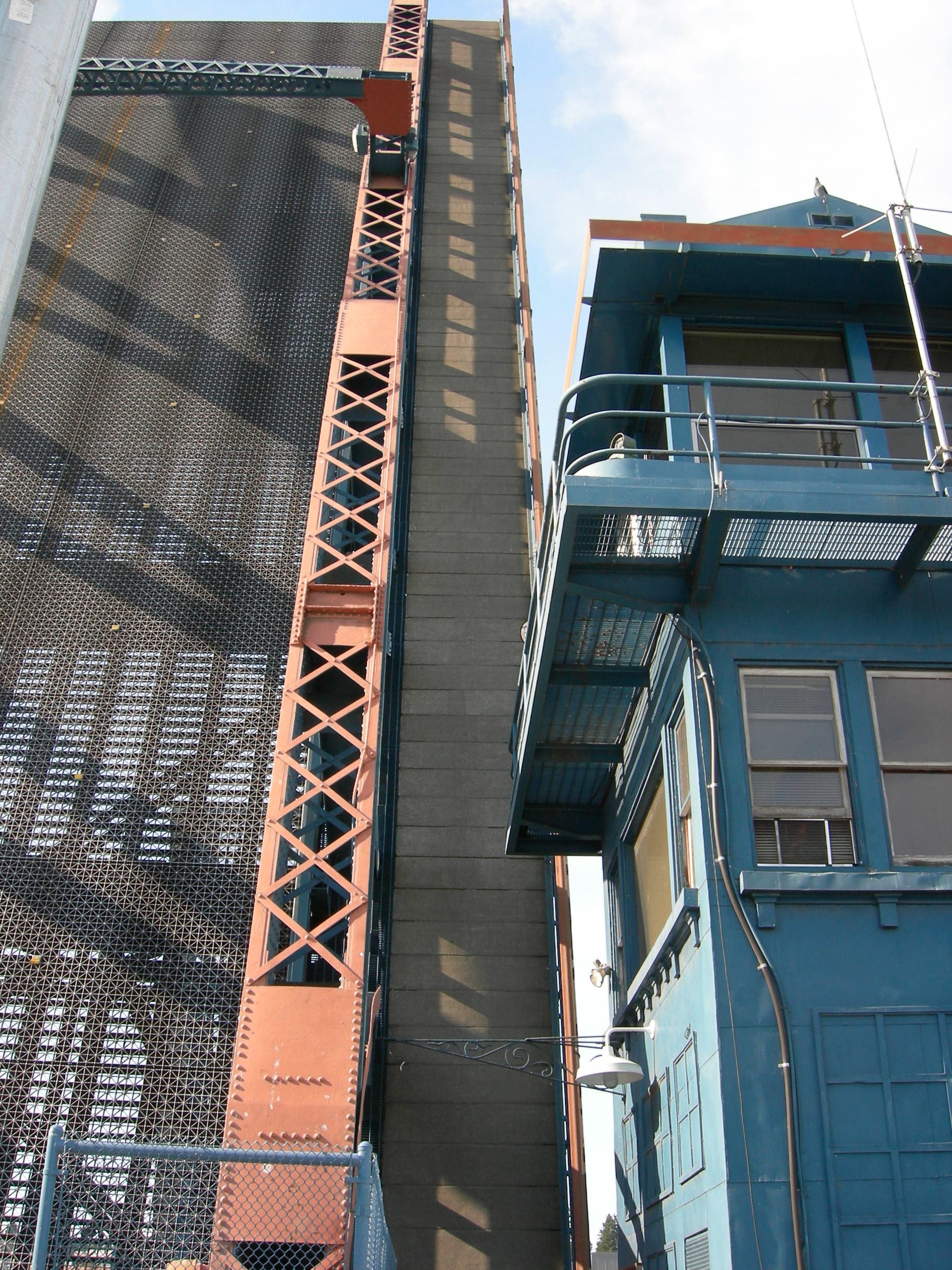
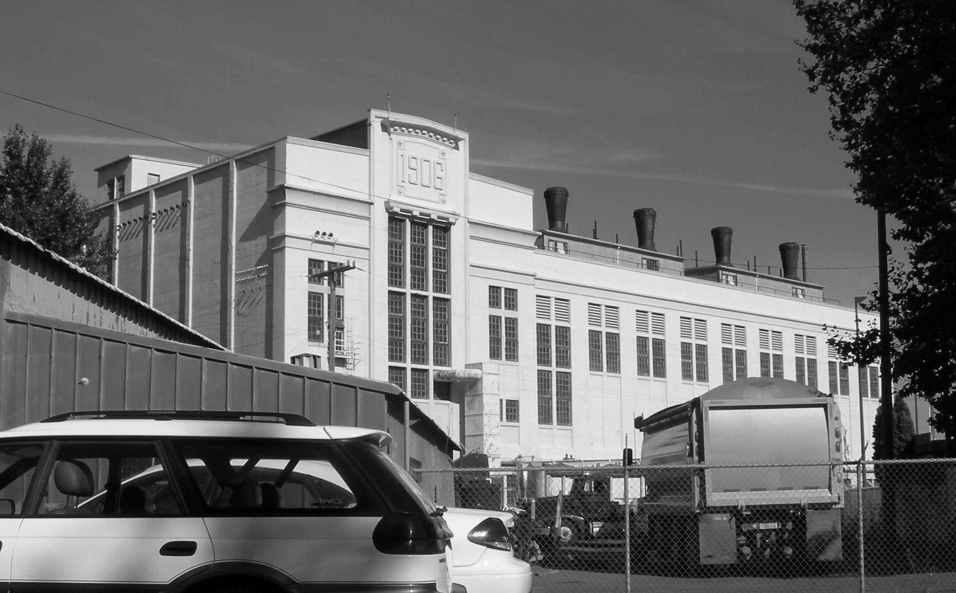
47°36′57″N 122°18′34″W / 47.61583°N 122.30944°WSeattle 55 Georgetown Steam Plant 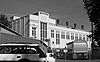
August 1, 1978 (NRHP)
July 5, 1984 (NHL)Off WA 99 at King County Airport
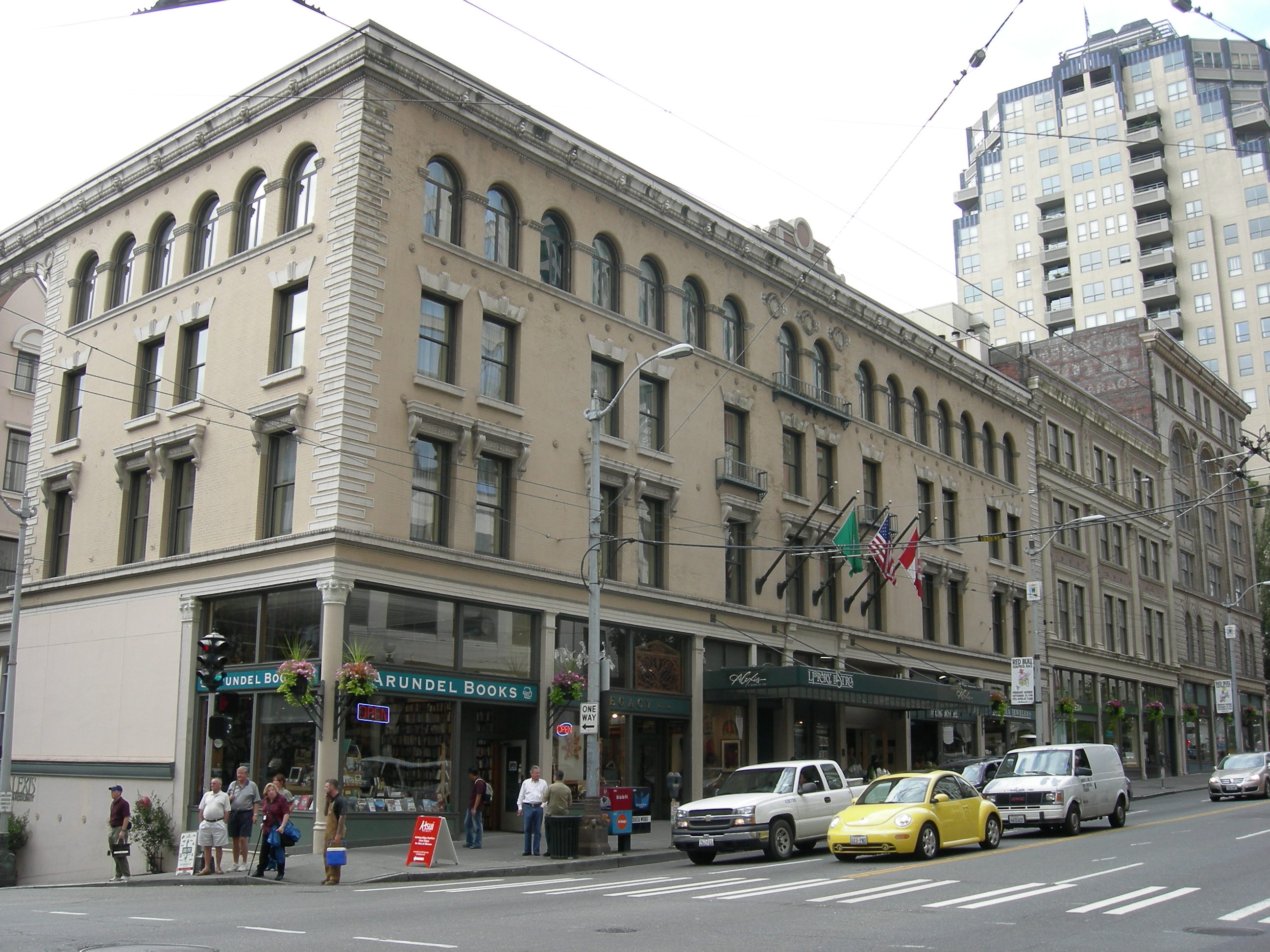
47°32′35″N 122°18′54″W / 47.54306°N 122.315°WSeattle 56 Globe Building, Beebe Building and Hotel Cecil 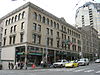
April 29, 1982 1001-1023 1st Ave.
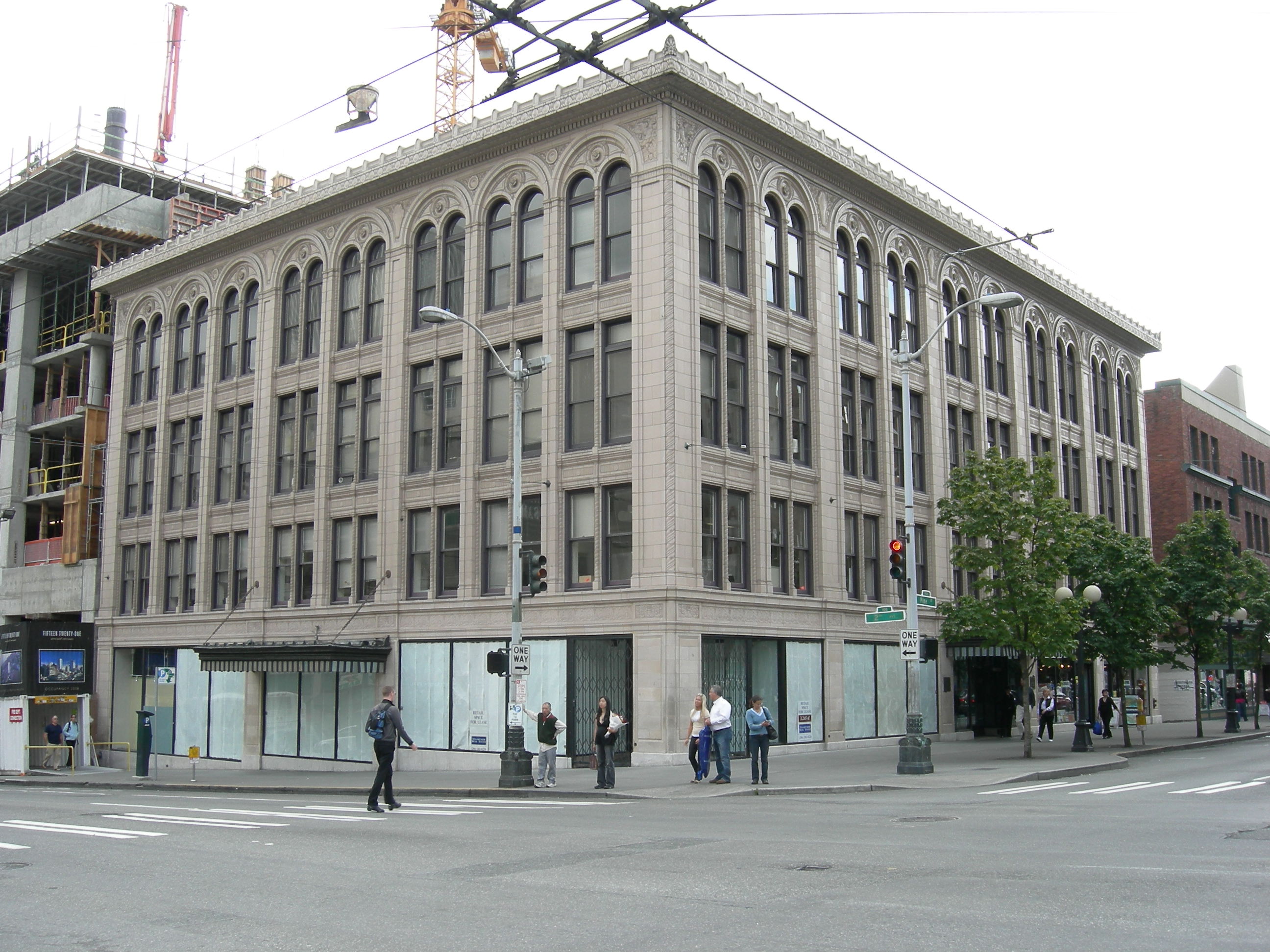
47°36′19″N 122°20′8″W / 47.60528°N 122.33556°WSeattle 57 J. S. Graham Store 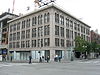
December 7, 1989 119 Pine St.
47°36′36″N 122°20′19″W / 47.61°N 122.33861°WSeattle 58 Grand Pacific Hotel 
May 13, 1982 1115-1117 1st Ave.
47°36′21″N 122°20′10″W / 47.60583°N 122.33611°WSeattle Originally known as the Starr Block 59 Guiry and Schillestad Building 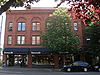
August 28, 1985 2101-2111 1st Ave.
47°36′44″N 122°20′35″W / 47.61222°N 122.34306°WSeattle 60 Harvard-Belmont District 
May 13, 1982 Bellevue Pl., Broadway, Boylston and Harvard Aves.
47°37′43″N 122°19′19″W / 47.62861°N 122.32194°WSeattle 61 Samuel Hill House 
May 3, 1976 814 E. Highland Dr.
47°37′51″N 122°19′14″W / 47.63083°N 122.32056°WSeattle 62 Hoge Building 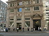
April 14, 1983 705 2nd Ave.
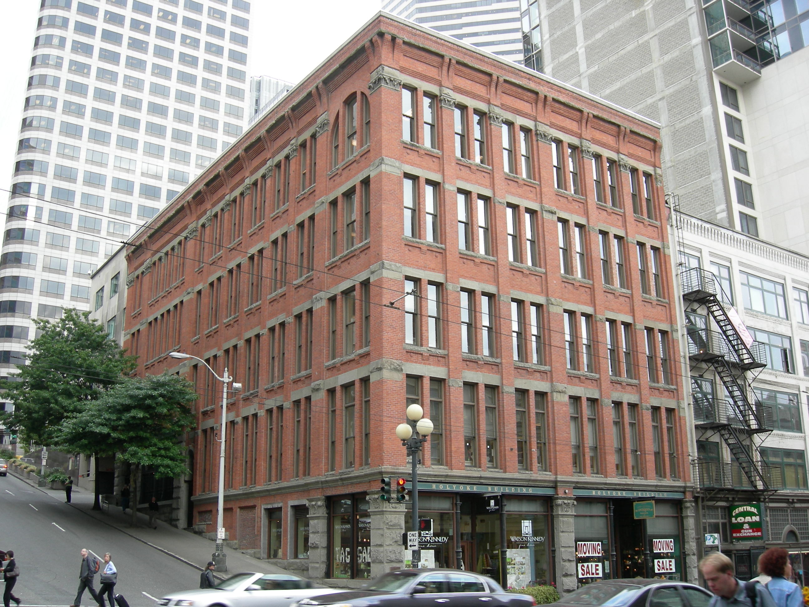
47°36′12″N 122°19′56″W / 47.60333°N 122.33222°WSeattle 63 Holyoke Building 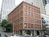
June 3, 1976 1018-1022 1st Ave.
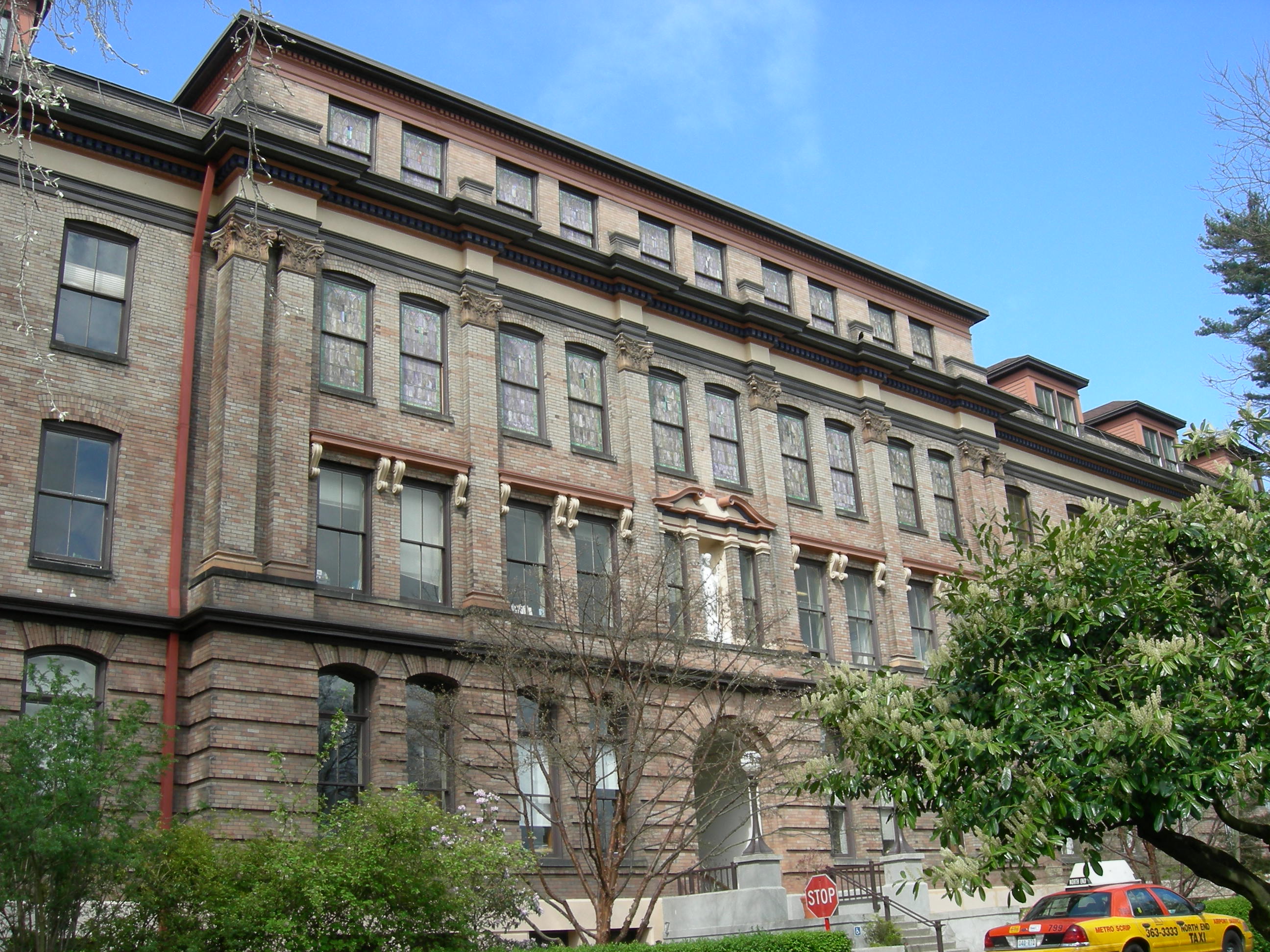
47°36′20″N 122°20′5″W / 47.60556°N 122.33472°WSeattle 64 Home of the Good Shepherd 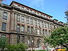
May 23, 1978 Sunnyside, N. and 50th St.
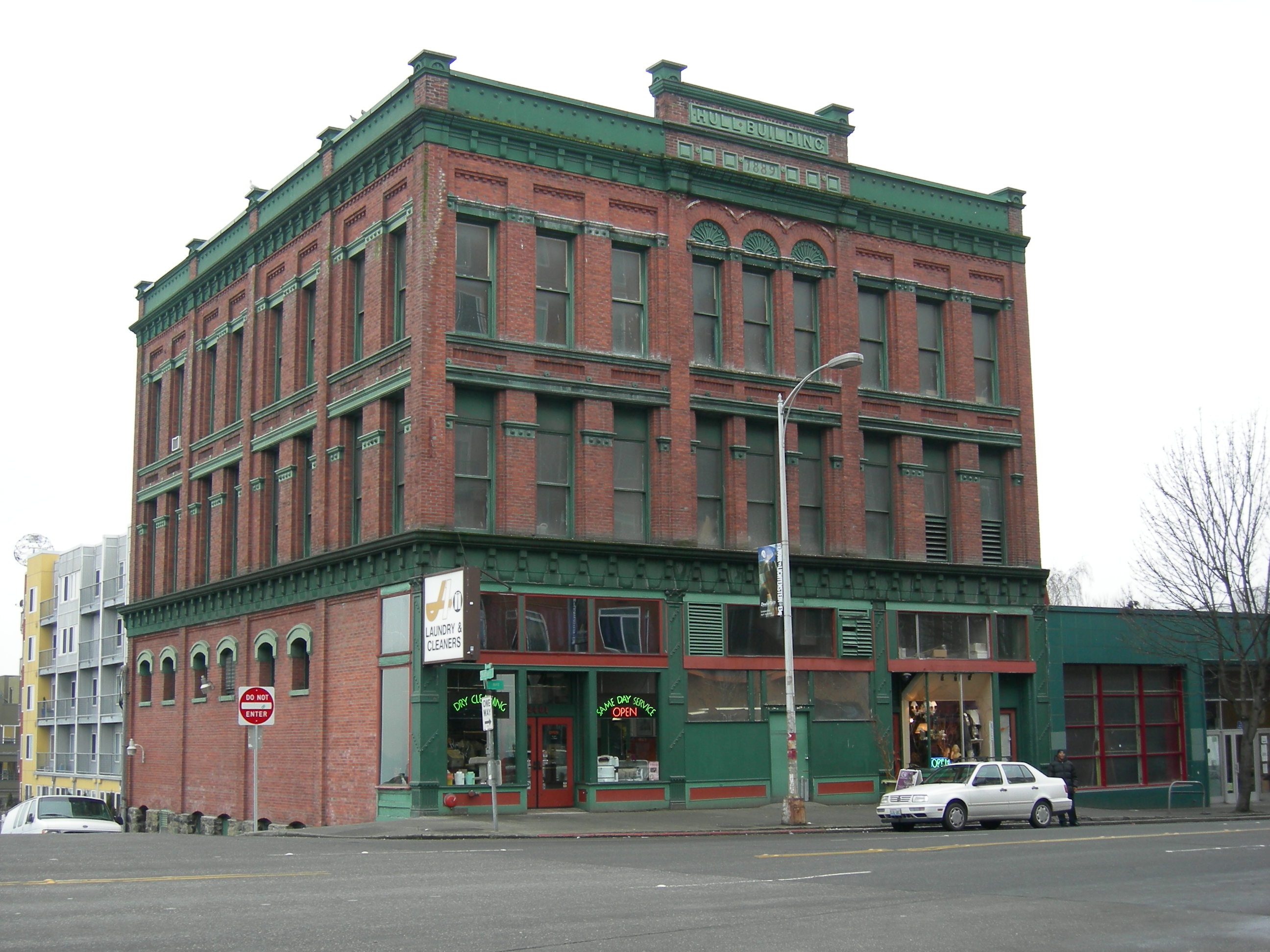
47°39′51″N 122°19′51″W / 47.66417°N 122.33083°WSeattle 65 Hull Building 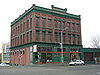
January 27, 1983 2401-2405 1st Ave.
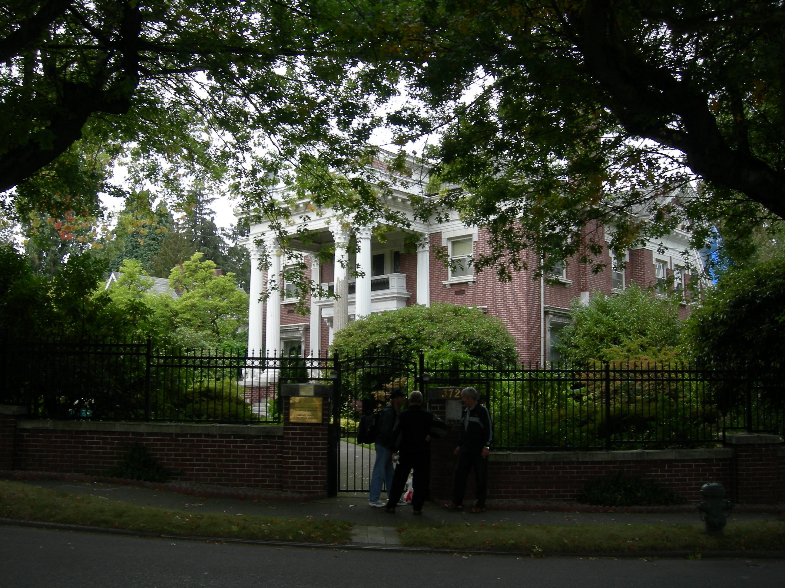
47°36′51″N 122°20′49″W / 47.61417°N 122.34694°WSeattle 66 Samuel Hyde House 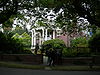
April 12, 1982 3726 E. Madison St.
47°37′55″N 122°17′1″W / 47.63194°N 122.28361°WSeattle 67 Immanuel Lutheran Church 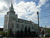
February 25, 1982 1215 Thomas St.
47°37′15″N 122°19′51″W / 47.62083°N 122.33083°WSeattle 68 Interlake Public School 
July 14, 1983 4416 Wallingford Ave., N.
47°39′40″N 122°20′5″W / 47.66111°N 122.33472°WSeattle 69 Iron Pergola 
August 26, 1971 1st Ave. and Yesler Way
47°36′7″N 122°19′58″W / 47.60194°N 122.33278°WSeattle 70 John N. Cobb (fisheries research vessel) 
February 11, 2009 7600 Sand Point Way NE.
47°41′16″N 122°15′34″W / 47.687837°N 122.259381°WSeattle 71 King Street Station 
April 13, 1973 3rd St., S. and S. King St.
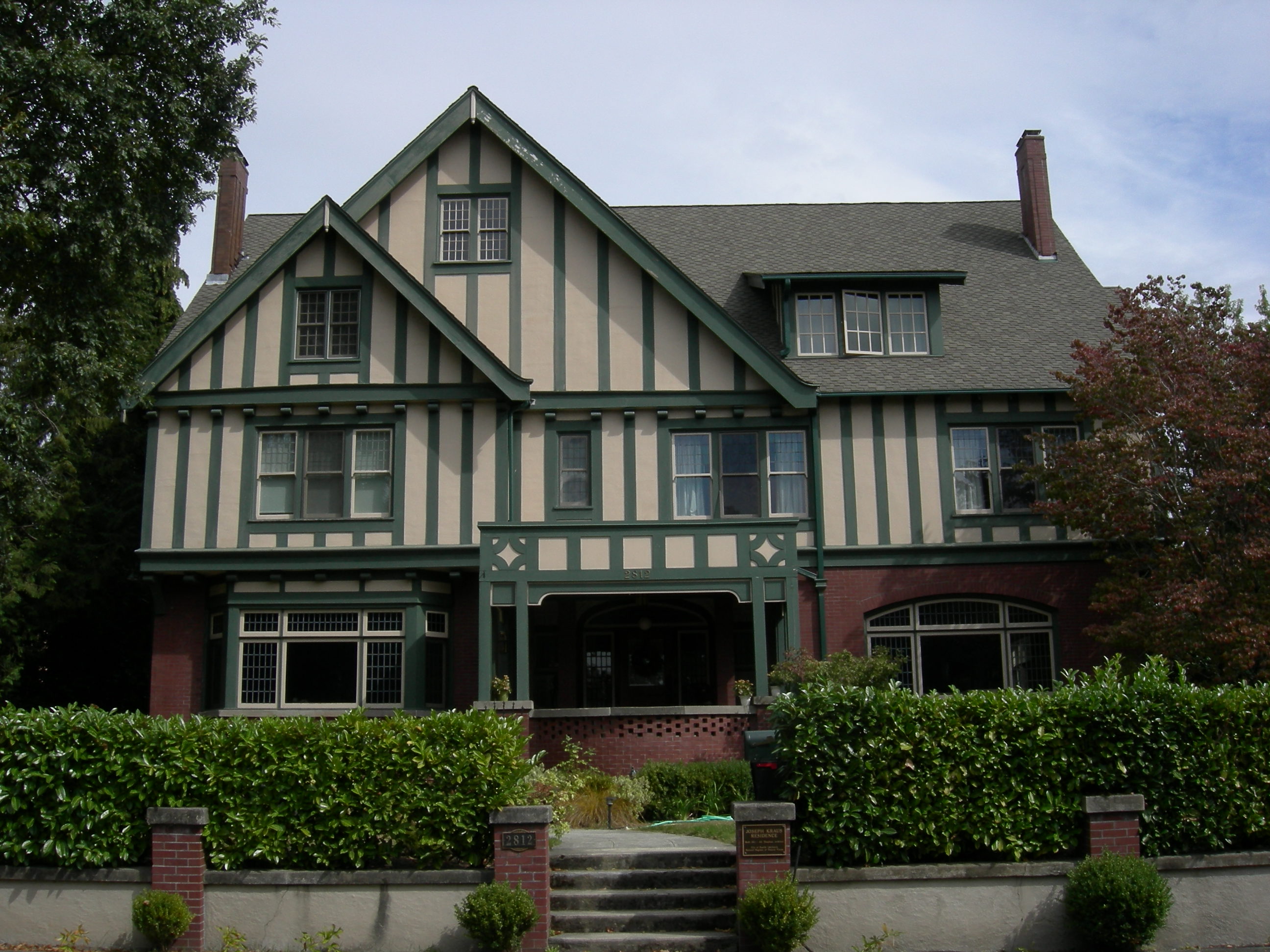
47°35′56″N 122°19′46″W / 47.59889°N 122.32944°WSeattle 72 Joseph Kraus House 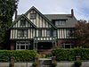
February 25, 1982 2812 Mt. Saint Helens Pl.
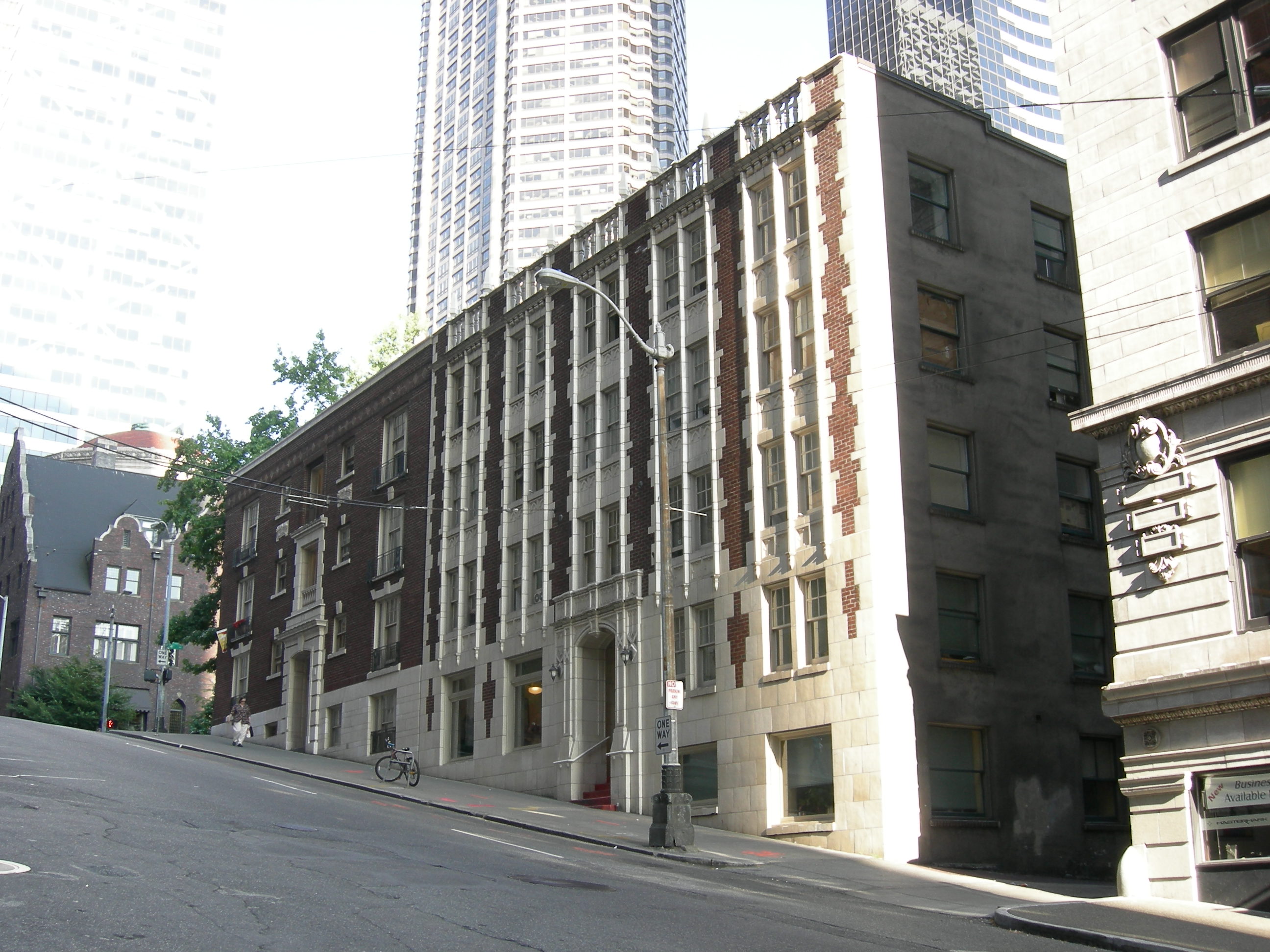
47°34′41″N 122°17′6″W / 47.57806°N 122.285°WSeattle 73 Leamington Hotel and Apartments 
May 13, 1994 317 Marion St.
47°36′19″N 122°19′52″W / 47.60528°N 122.33111°WSeattle 74 Eliza Ferry Leary House 
April 14, 1972 1551 10th Ave., E.
47°38′2″N 122°19′8″W / 47.63389°N 122.31889°WSeattle 75 Liggett Building 
August 31, 2011 1424 4th Ave.
47°36′36″N 122°20′10″W / 47.61°N 122.33611°WSeattle 76 Lyon Building 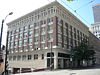
June 30, 1995 607 Third Ave.
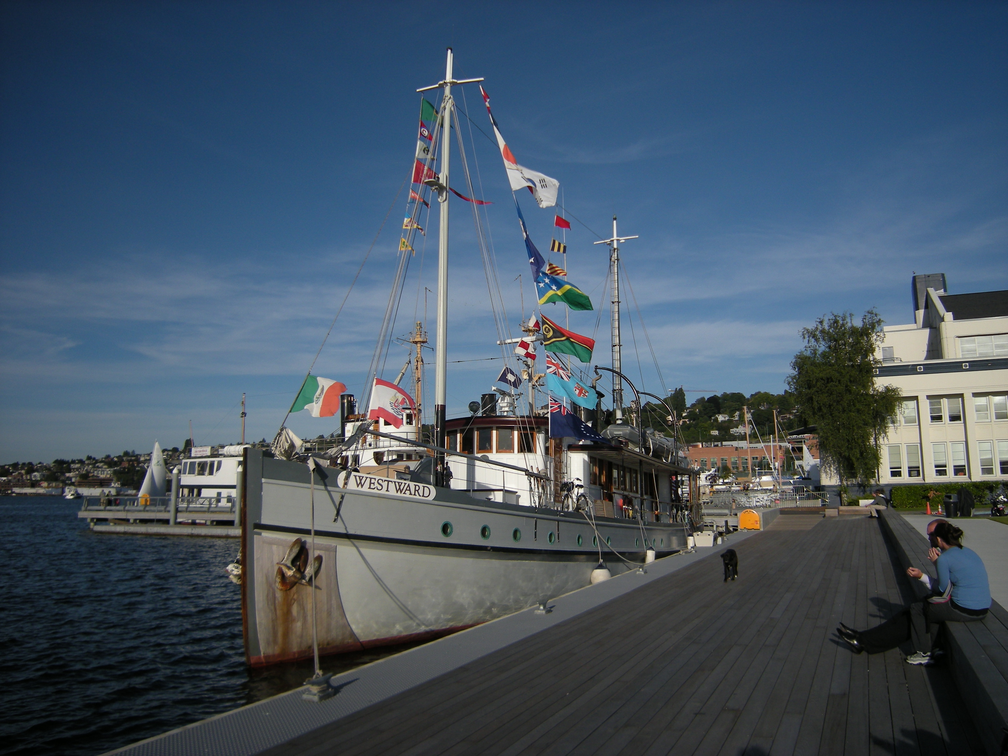
47°36′8″N 122°19′48″W / 47.60222°N 122.33°WSeattle 77 MV Westward (wooden motor vessel) 
April 12, 2007 1010 Valley St.
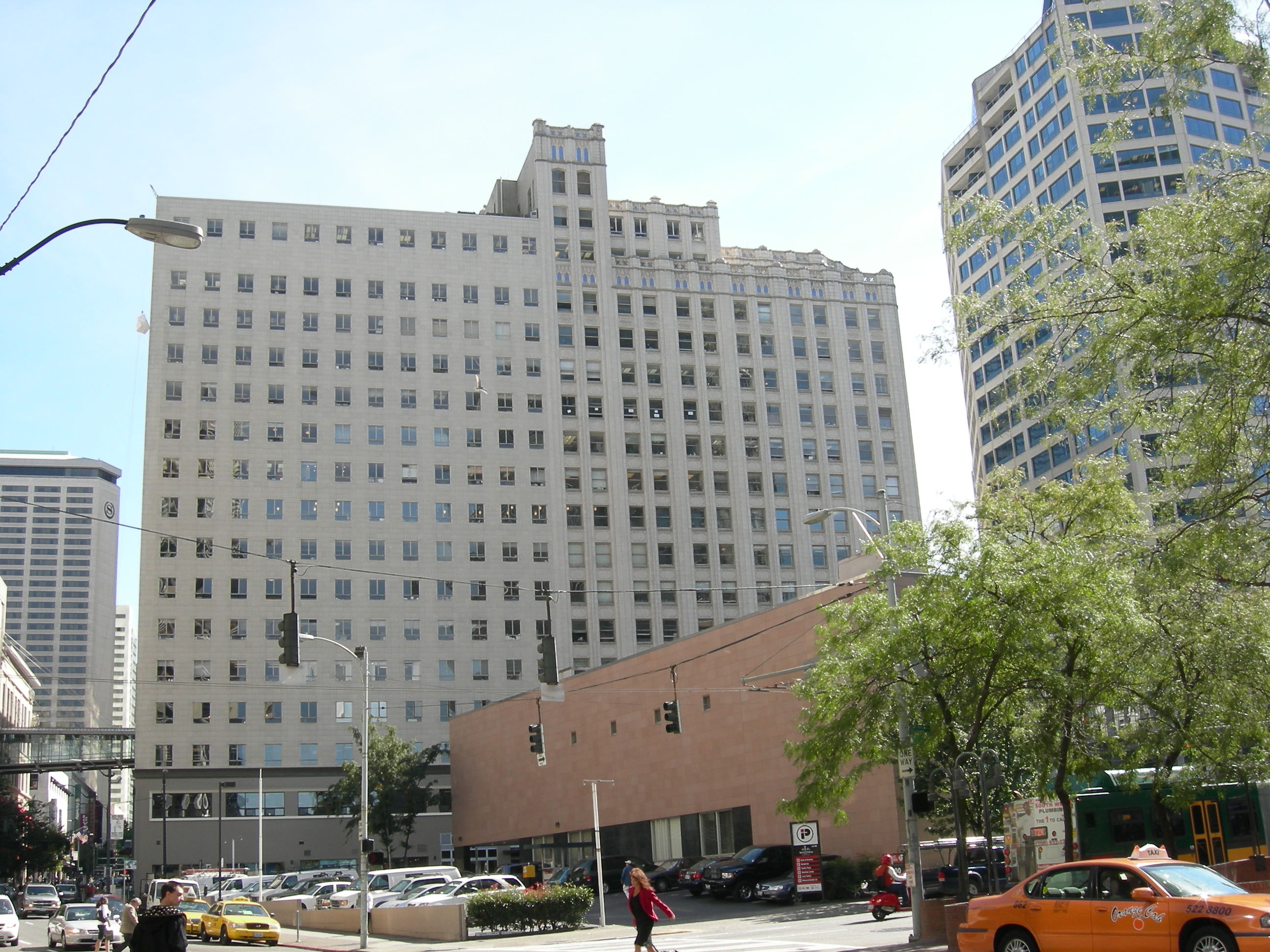
47°37′38″N 122°19′18″W / 47.62722°N 122.32167°WSeattle 78 Seattle Wrecked off of Prince of Wales Island (Alaska) in 1986.[4] 79 Medical Dental Building 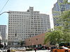
May 11, 2006 509 Olive Way
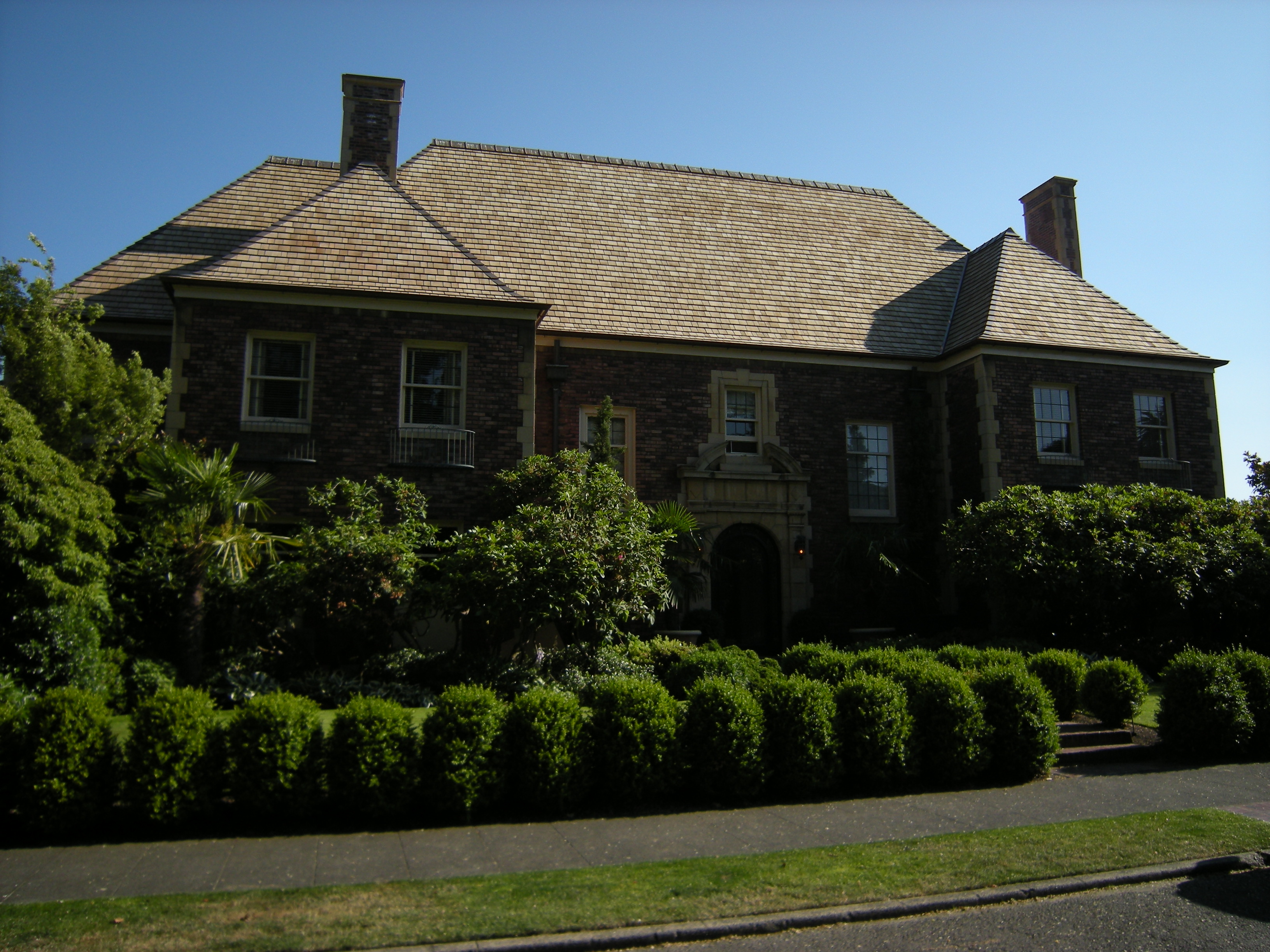
47°36′53″N 122°20′13″W / 47.61472°N 122.33694°WSeattle 80 R. D. Merrill House 
August 22, 1977 919 Harvard Ave., E.
47°37′39″N 122°19′14″W / 47.6275°N 122.32056°WSeattle 81 Montlake Bridge 
July 16, 1982 Spans Lake Union Ship Canal
47°38′51″N 122°18′13″W / 47.6475°N 122.30361°WSeattle Historic Bridges and Tunnels in Washington TR 82 Moore Theatre and Hotel 
August 30, 1974 1932 2nd Ave.
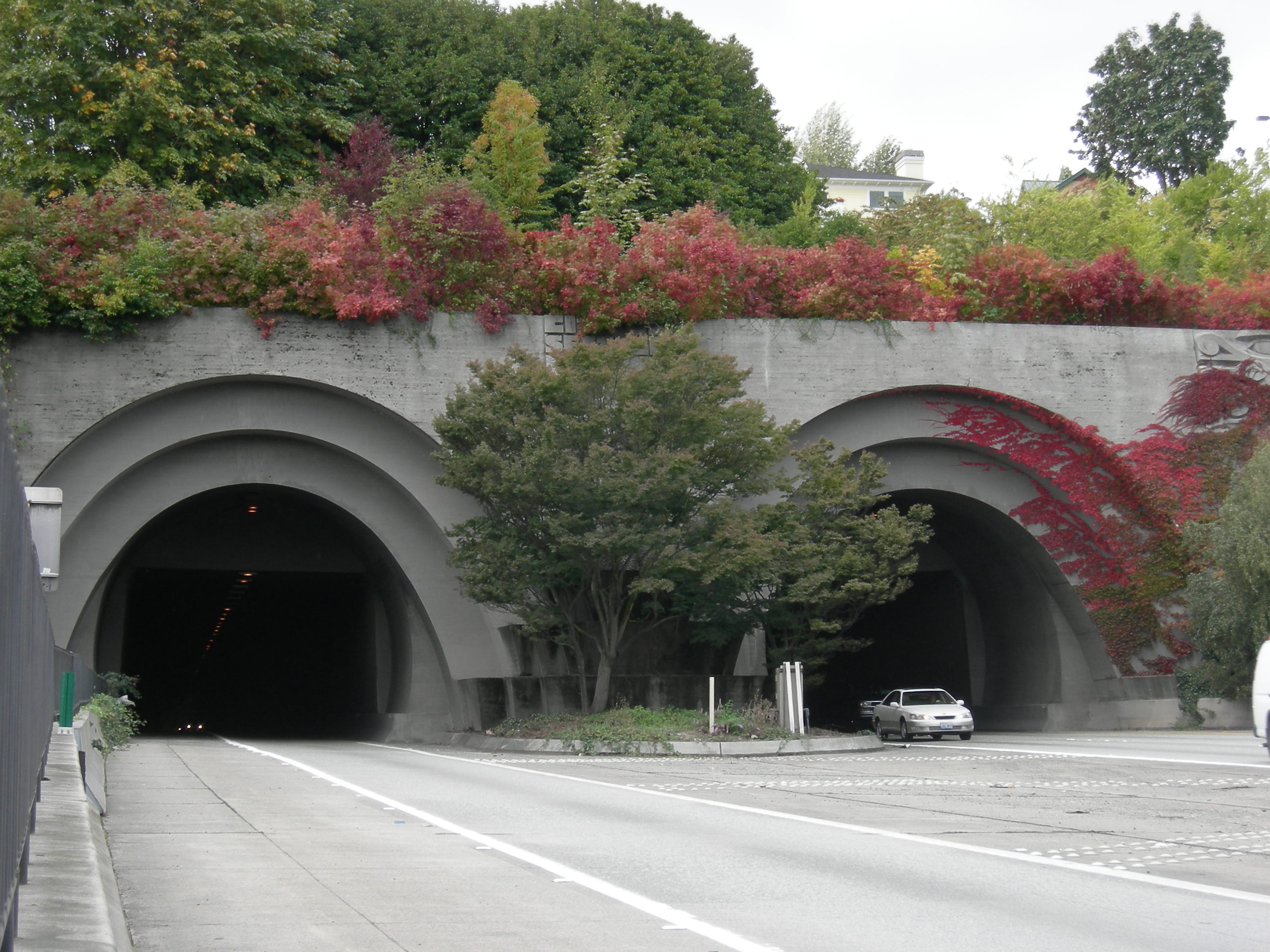
47°36′43″N 122°20′23″W / 47.61194°N 122.33972°WSeattle 83 Mount Baker Ridge Tunnel 
July 16, 1982 E of WA 90
47°35′25″N 122°17′14″W / 47.59028°N 122.28722°WSeattle Historic Bridges and Tunnels in Washington TR 84 National Building 
April 29, 1982 1006-1024 Western Ave.
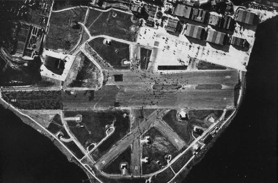
47°36′18″N 122°20′10″W / 47.605°N 122.33611°WSeattle 85 Naval Air Station (NAS) Seattle 
July 2, 2010 7400 Sand Point Way NE
47°40′56″N 122°15′39″W / 47.68222°N 122.26083°WSeattle 86 Naval Military Hangar-University Shell House 
July 1, 1975 University of Washington campus
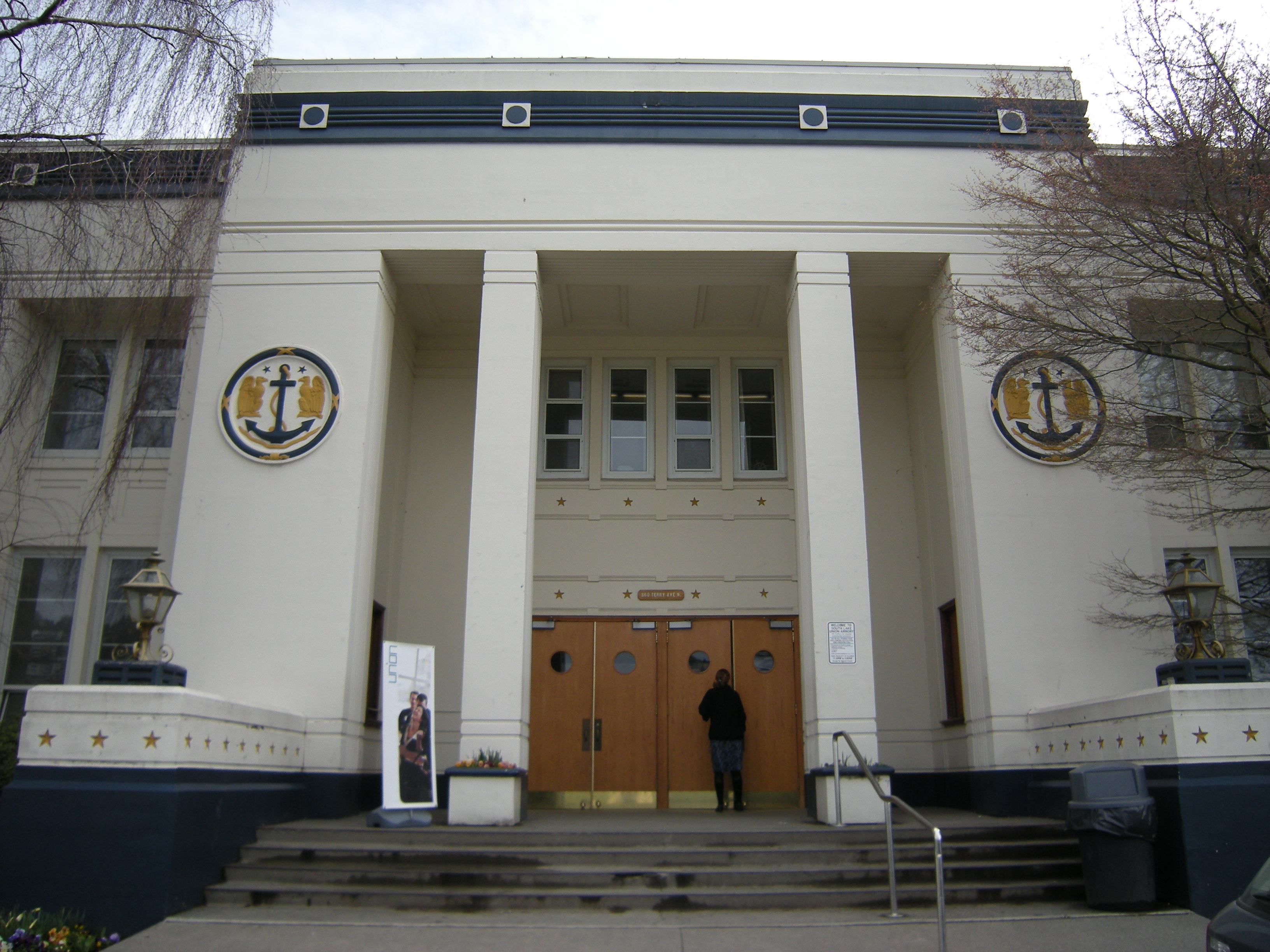
47°38′53″N 122°17′56″W / 47.64806°N 122.29889°WSeattle 87 Naval Reserve Armory 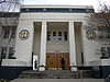
July 8, 2009 860 Terry Ave. N.
47°37′39.33″N 122°20′13.05″W / 47.6275917°N 122.3369583°WSeattle 88 New Richmond Hotel 
July 12, 2011 308 4th Ave. S.
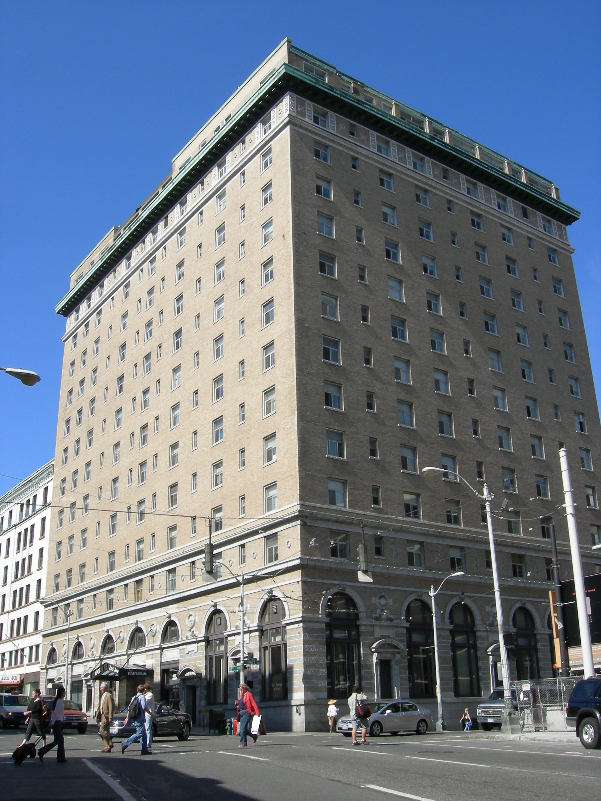
47°35′59″N 122°19′43″W / 47.59972°N 122.32861°WSeattle Also known as the Downtowner Hotel 89 New Washington Hotel 
September 28, 1989 1902 Second Ave.
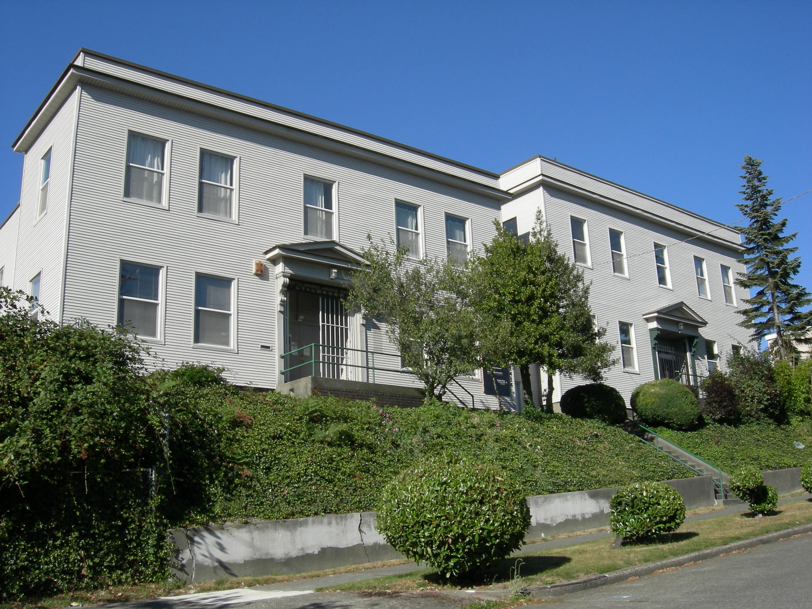
47°36′41″N 122°20′22″W / 47.61139°N 122.33944°WSeattle 90 Nihon Go Gakko 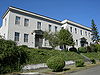
June 23, 1982 1414 S. Weller St.
47°35′53″N 122°18′38″W / 47.59806°N 122.31056°WSeattle 91 Nippon Kan 
May 22, 1978 622 S. Washington St.
47°36′5″N 122°19′26″W / 47.60139°N 122.32389°WSeattle 92 Northern Bank and Trust Building 
March 26, 2003 1500 Fourth Ave.
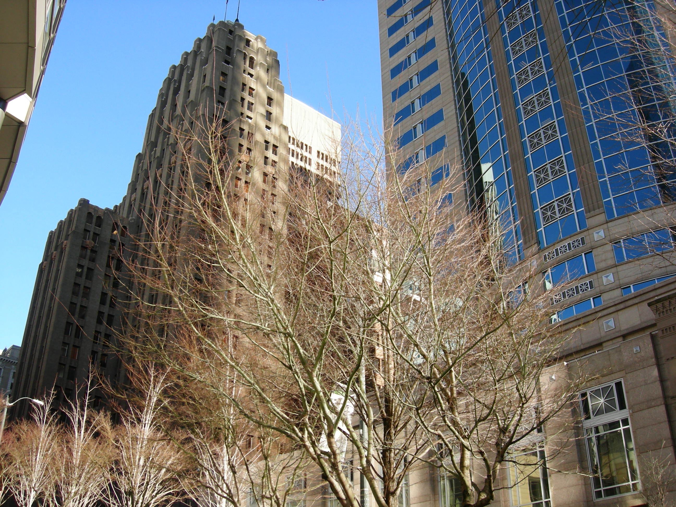
47°36′38″N 122°20′6″W / 47.61056°N 122.335°WSeattle 93 Northern Life Tower 
May 30, 1975 1212 3rd Ave.
47°36′29″N 122°20′3″W / 47.60806°N 122.33417°WSeattle 94 Nuclear Reactor Building 
July 24, 2009 3785 Jefferson Rd. NE
47°39′10.09″N 122°18′16.08″W / 47.6528028°N 122.3044667°WSeattle 95 Old Georgetown City Hall 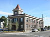
April 14, 1983 6202 13th Ave., S.
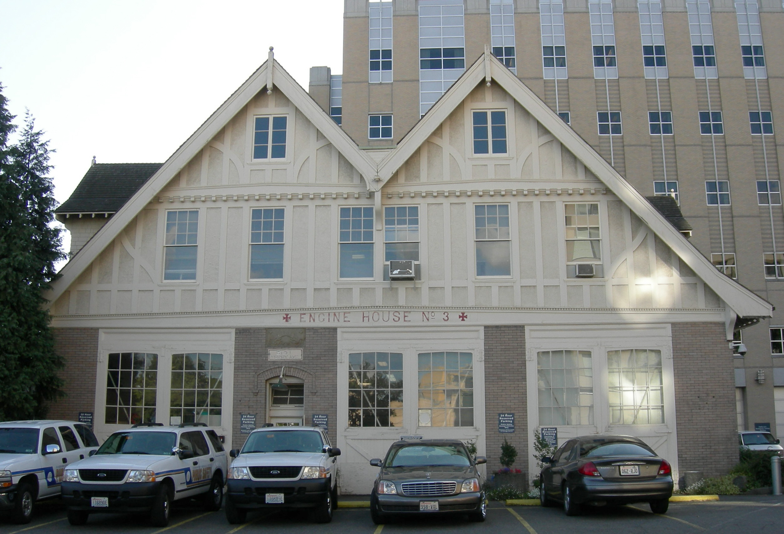
47°32′52″N 122°18′53″W / 47.54778°N 122.31472°WSeattle 96 Old Public Safety Building 
June 19, 1973 4th Ave. and Terrace St. and 5th Ave. and Yesler Way
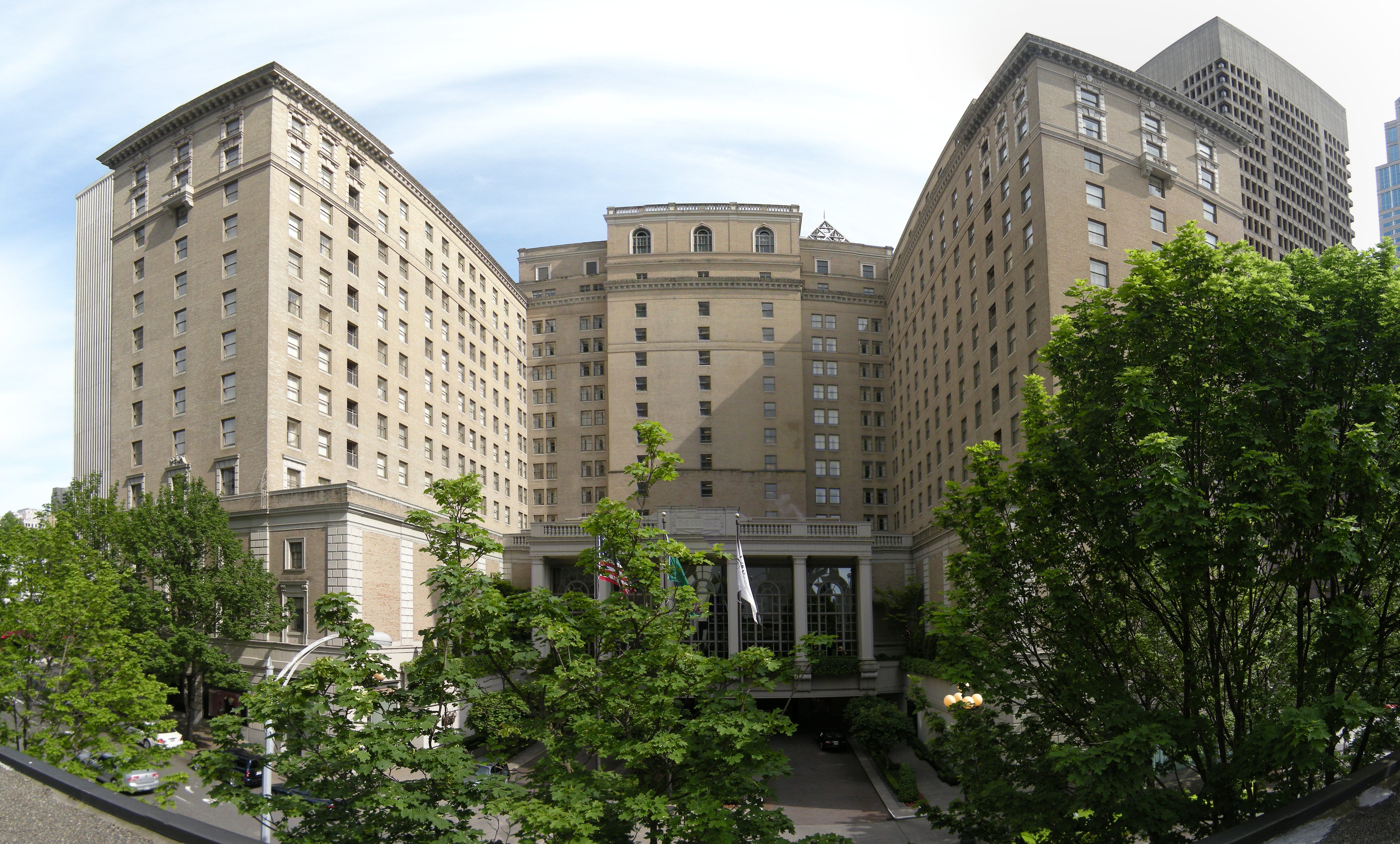
47°36′8″N 122°19′36″W / 47.60222°N 122.32667°WSeattle 97 Olympic Hotel 
June 15, 1979 1200-1220 4th Ave.
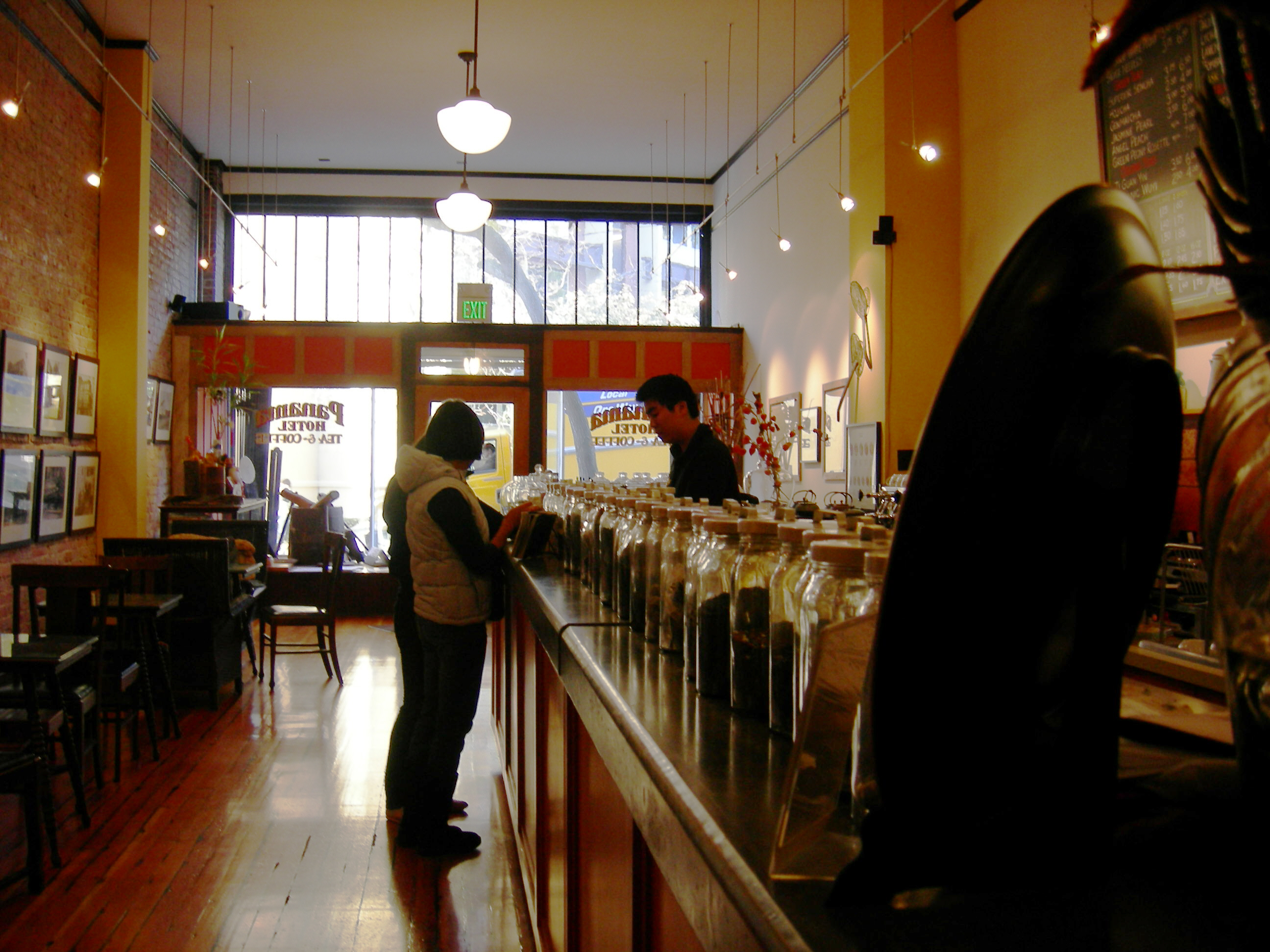
47°36′30″N 122°19′59″W / 47.60833°N 122.33306°WSeattle 98 Panama Hotel 
March 20, 2006 605 South Main St. and 302 6th Ave. South
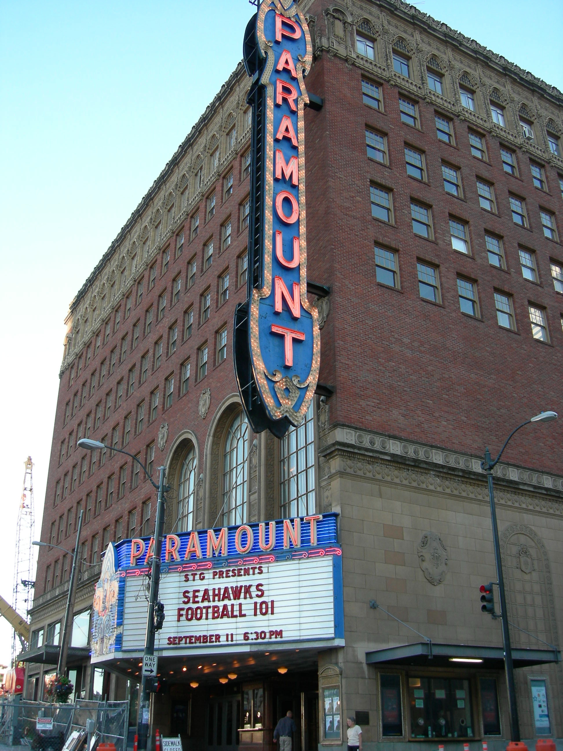
47°36′00″N 122°19′34″W / 47.600086°N 122.326241°WSeattle 99 Paramount Theatre 
October 9, 1974 901 Pine St.
47°36′49″N 122°19′48″W / 47.61361°N 122.33°WSeattle 100 Park Department, Division of Playgrounds 
March 16, 1972 301 Terry Ave.
47°36′15″N 122°19′14″W / 47.60417°N 122.32056°WSeattle 101 William Parsons House 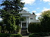
June 21, 1991 2706 Harvard Ave. E.
47°38′42″N 122°19′14″W / 47.645°N 122.32056°WSeattle 102 Phillips House 
April 29, 1993 711-713 E. Union St.
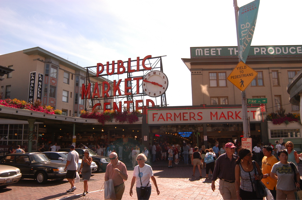
47°36′46″N 122°19′22″W / 47.61278°N 122.32278°WSeattle 103 Pike Place Public Market Historic District 
March 13, 1970 Bounded by Western Ave. to the west, Virginia St. to the north, 1st Ave. to the east, and the south wall of the Economy Market and Outlook Building to the south
47°36′37″N 122°20′25″W / 47.61028°N 122.34028°WSeattle 104 Pioneer Building, Pergola, and Totem Pole 
May 5, 1977 5th Ave. and Yesler Way
47°36′9″N 122°19′57″W / 47.6025°N 122.3325°WSeattle 105 Pioneer Hall 
June 5, 1970 1642 43rd Ave., E.
47°38′5″N 122°16′34″W / 47.63472°N 122.27611°WSeattle 106 Pioneer Square-Skid Road District 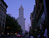
June 22, 1970 Roughly bounded by the Viaduct, Railroad Ave. S., King St., 4th and 5th Aves., James and Columbia Sts. incl. 500 blk 1st
47°36′3″N 122°19′56″W / 47.60083°N 122.33222°WSeattle Includes two increases to the size of the district. 107 August 15, 2000 1010 Valley St.
47°37′38″N 122°19′18″W / 47.62722°N 122.32167°WSeattle 108 Queen Anne Club 
January 27, 1983 1530 N. Queen Anne Ave.
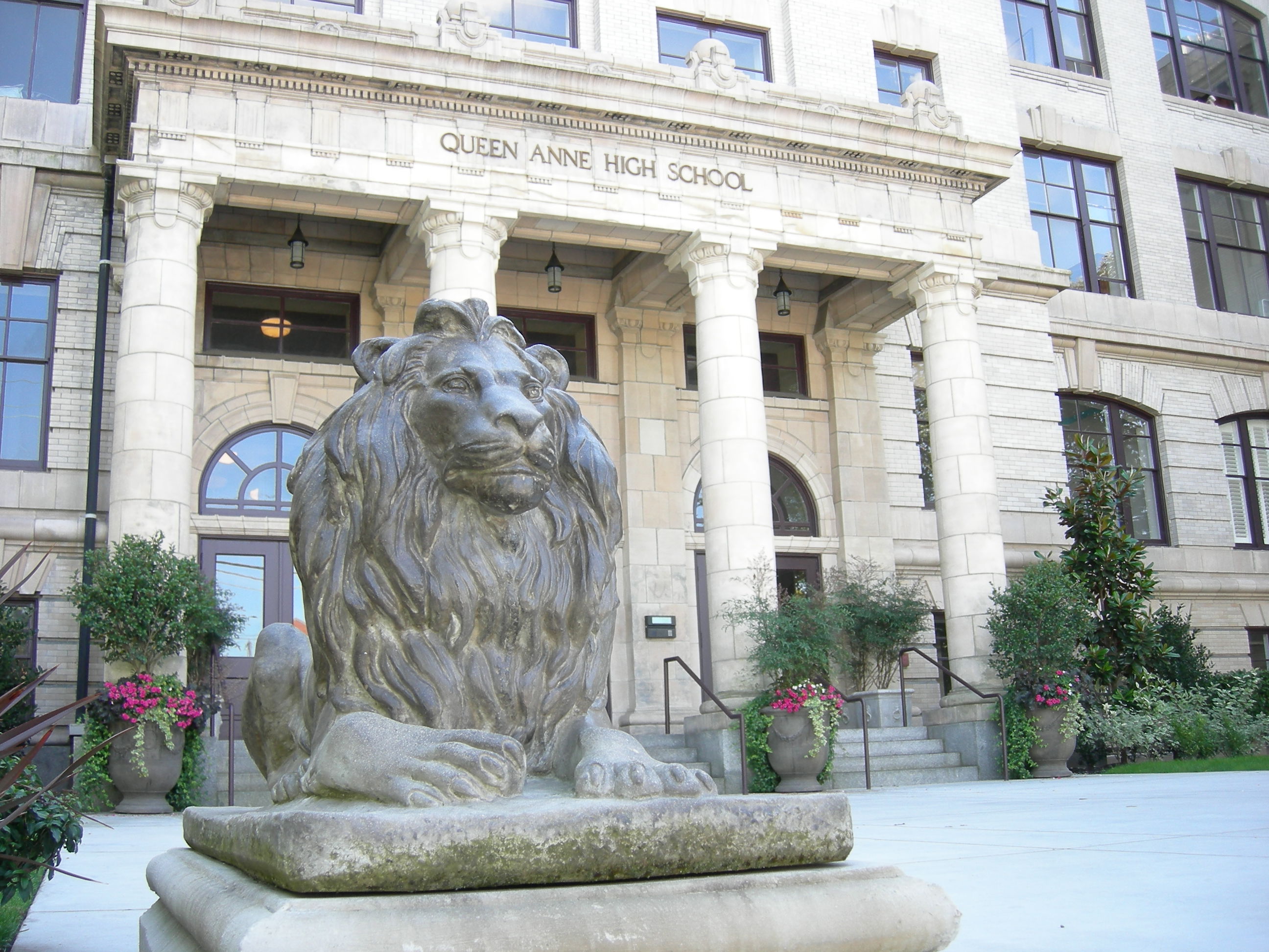
47°38′1″N 122°21′20″W / 47.63361°N 122.35556°WSeattle 109 Queen Anne High School 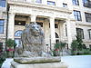
November 21, 1985 215 Galer St.
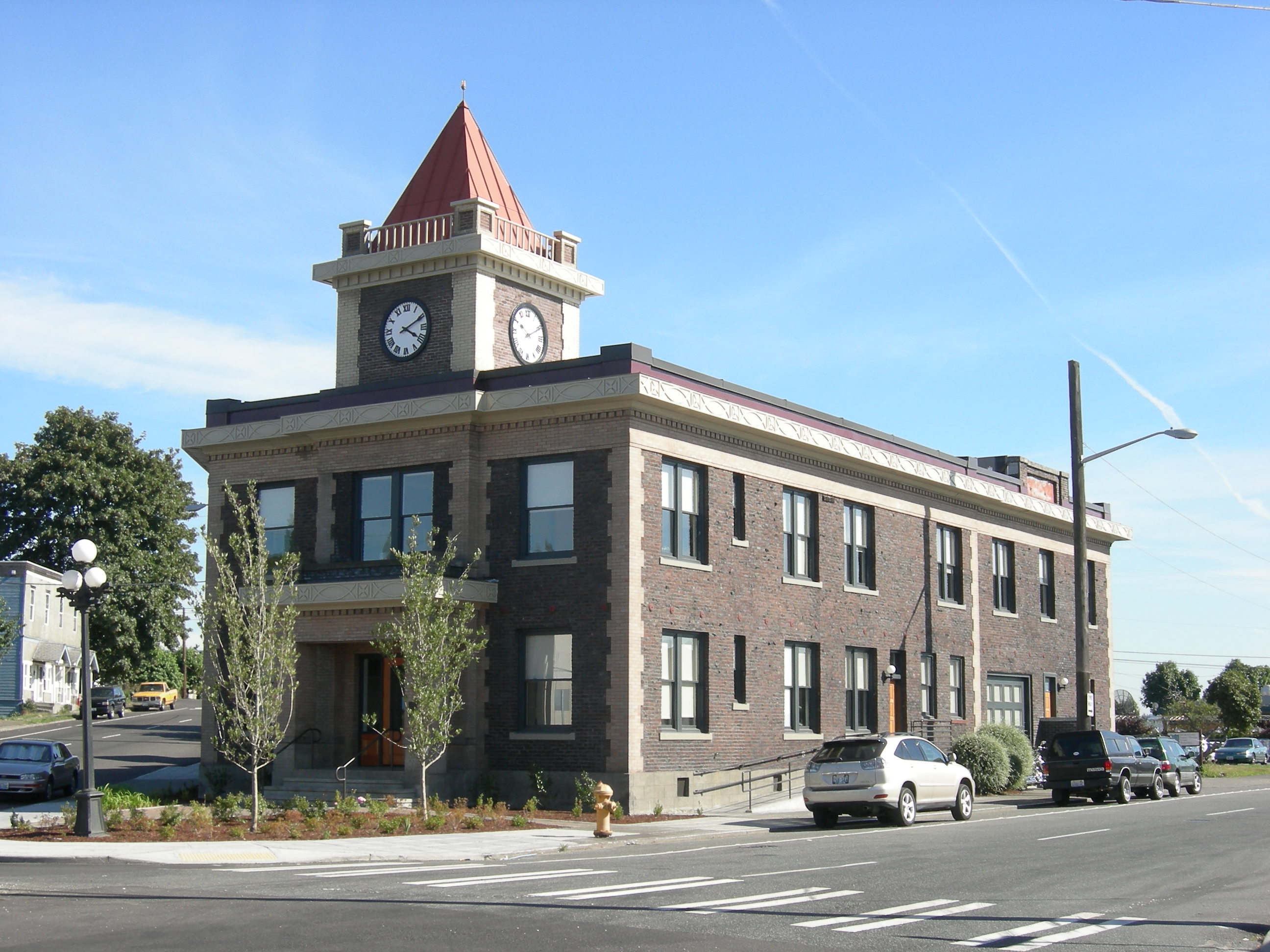
47°37′54″N 122°21′3″W / 47.63167°N 122.35083°WSeattle 110 Queen Anne Post Office and Regional Headquarters 
July 12, 2011 415 1st Ave., N.
47°35′55″N 122°20′4″W / 47.59861°N 122.33444°WSeattle NRHP # 11000427 111 Queen Anne Public School 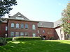
July 30, 1975 1401 5th Avenue West
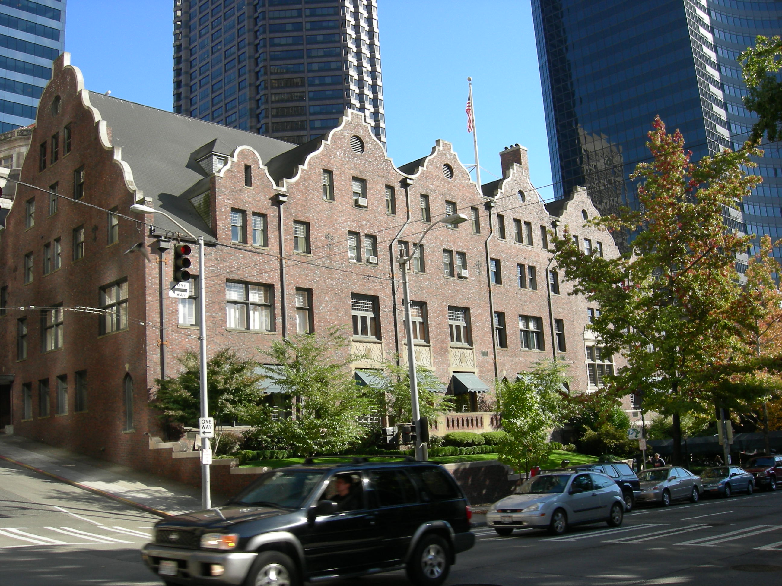
47°37′56″N 122°21′46″W / 47.63222°N 122.36278°WSeattle Converted to condos in 1984 112 Rainier Club 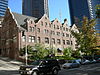
April 22, 1976 810 4th Ave.
47°36′22″N 122°19′51″W / 47.60611°N 122.33083°WSeattle 113 Ravenna Park Bridge 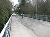
July 16, 1982 20th Ave., Spans Ravenna Park Ravine
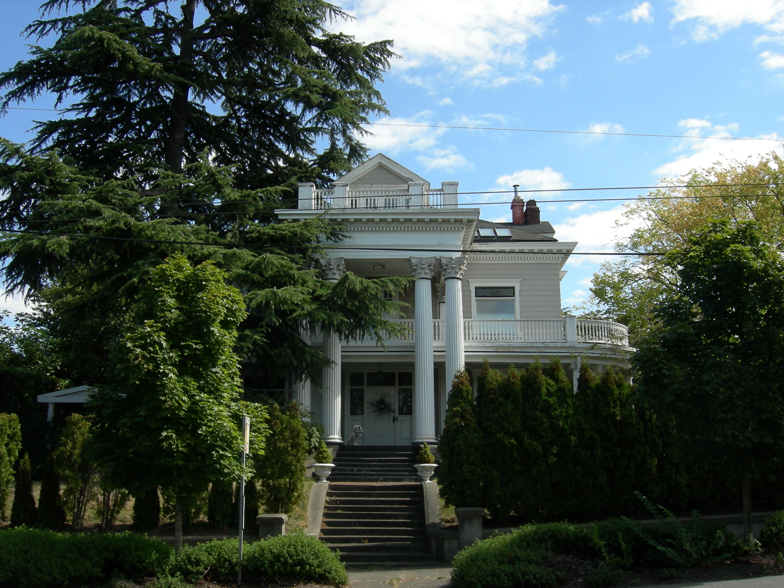
47°40′19″N 122°18′21″W / 47.67194°N 122.30583°WSeattle Historic Bridges and Tunnels in Washington TR 114 Raymond-Ogden Mansion 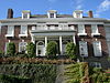
June 15, 1979 702 35th Ave.
47°36′30″N 122°17′13″W / 47.60833°N 122.28694°WSeattle 115 Rector Hotel 
August 9, 2002 619-621 Third Ave.
47°36′12″N 122°19′51″W / 47.60333°N 122.33083°WSeattle Now known as St. Charles Hotel building. 116 Redelsheimer-Ostrander House 
January 12, 1990 200 40th Ave. E.
47°37′15″N 122°16′47″W / 47.62083°N 122.27972°WSeattle 117 Roanoke Park Historic District 
July 30, 2009 Bounded by Shelby St on the N, Roanoke St on the S, Harvard Ave on the W, 10th Ave on the E
47°38′42.17″N 122°19′14.88″W / 47.6450472°N 122.3208°WSeattle 118 Judge James T. Ronald House 
February 20, 1975 421 30th St.
47°35′55″N 122°17′34″W / 47.59861°N 122.29278°WSeattle 119 Seattle 120 Schmitz Park Bridge 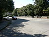
July 16, 1982 Spans Schmitz Park Ravine
47°34′38″N 122°24′8″W / 47.57722°N 122.40222°WSeattle Historic Bridges and Tunnels in Washington TR 121 Seattle 122 Seattle Chinatown Historic District 
November 6, 1986 Roughly bounded by Main, Jackson, I-5, Waller, and Fifth
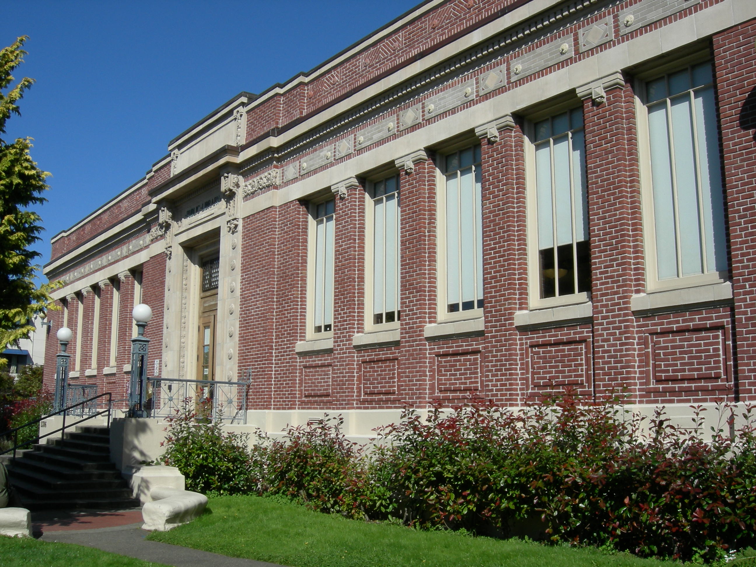
47°35′56″N 122°19′25″W / 47.59889°N 122.32361°WSeattle 123 Seattle Public Library 
August 3, 1982 4721 Rainier Ave. South
47°33′36″N 122°17′9″W / 47.56°N 122.28583°WSeattle Carnegie Libraries of Washington TR 124 Seattle Public Library 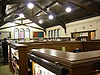
August 3, 1982 731 N. 35th St.
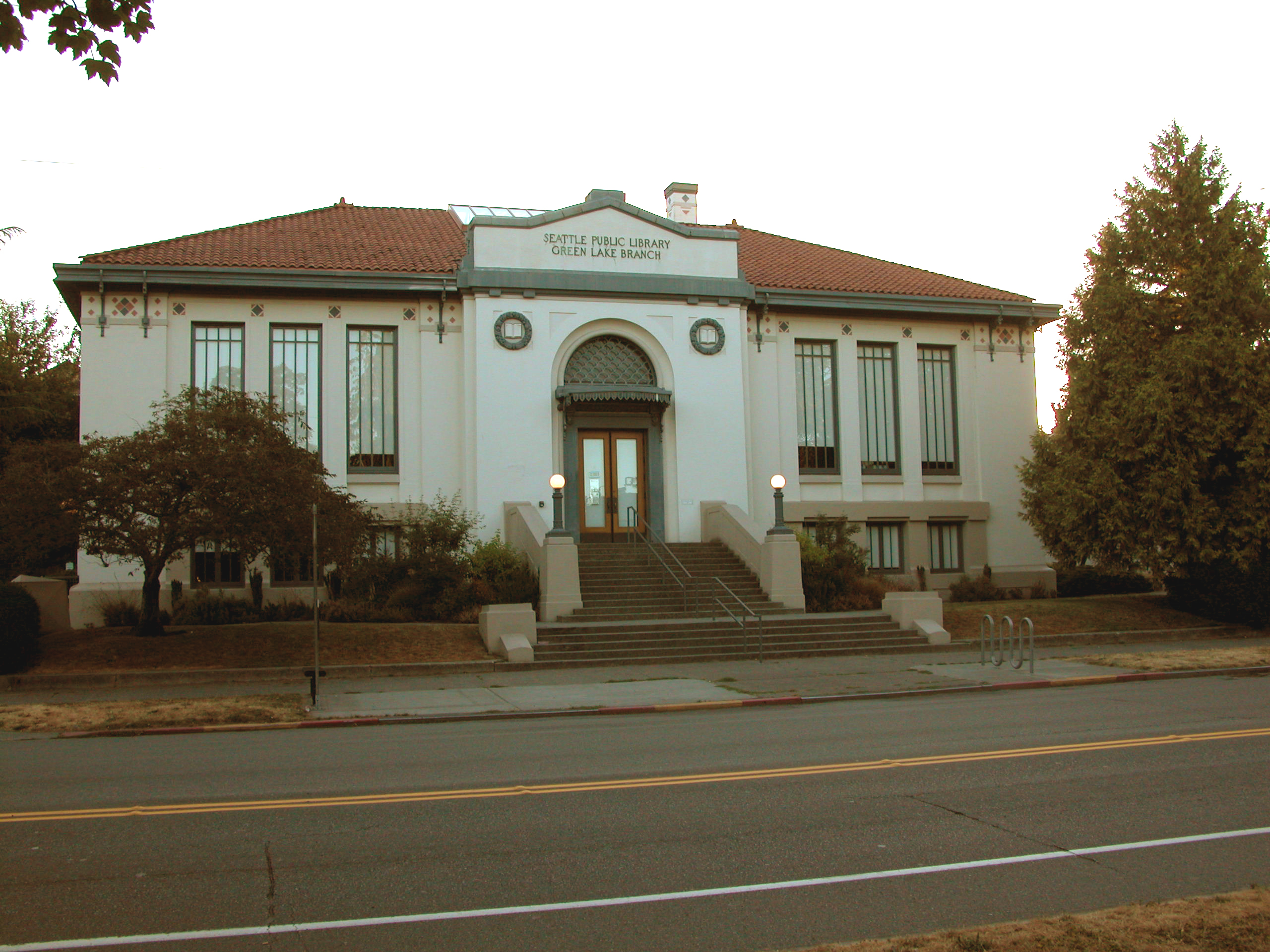
47°39′4″N 122°20′49″W / 47.65111°N 122.34694°WSeattle Carnegie Libraries of Washington TR 125 Seattle Public Library 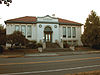
August 3, 1982 7364 E. Green Lake Dr., N.
47°40′54″N 122°19′33″W / 47.68167°N 122.32583°WSeattle Carnegie Libraries of Washington TR 126 Seattle Public Library 
August 3, 1982 400 W. Garfield St.
47°38′2″N 122°21′41″W / 47.63389°N 122.36139°WSeattle Carnegie Libraries of Washington TR 127 Seattle Public Library 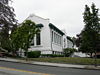
August 3, 1982 5009 Roosevelt Way, NE
47°39′55″N 122°18′59″W / 47.66528°N 122.31639°WSeattle Carnegie Libraries of Washington TR 128 Seattle Public Library 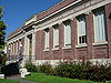
August 3, 1982 2306 42nd Ave., SW
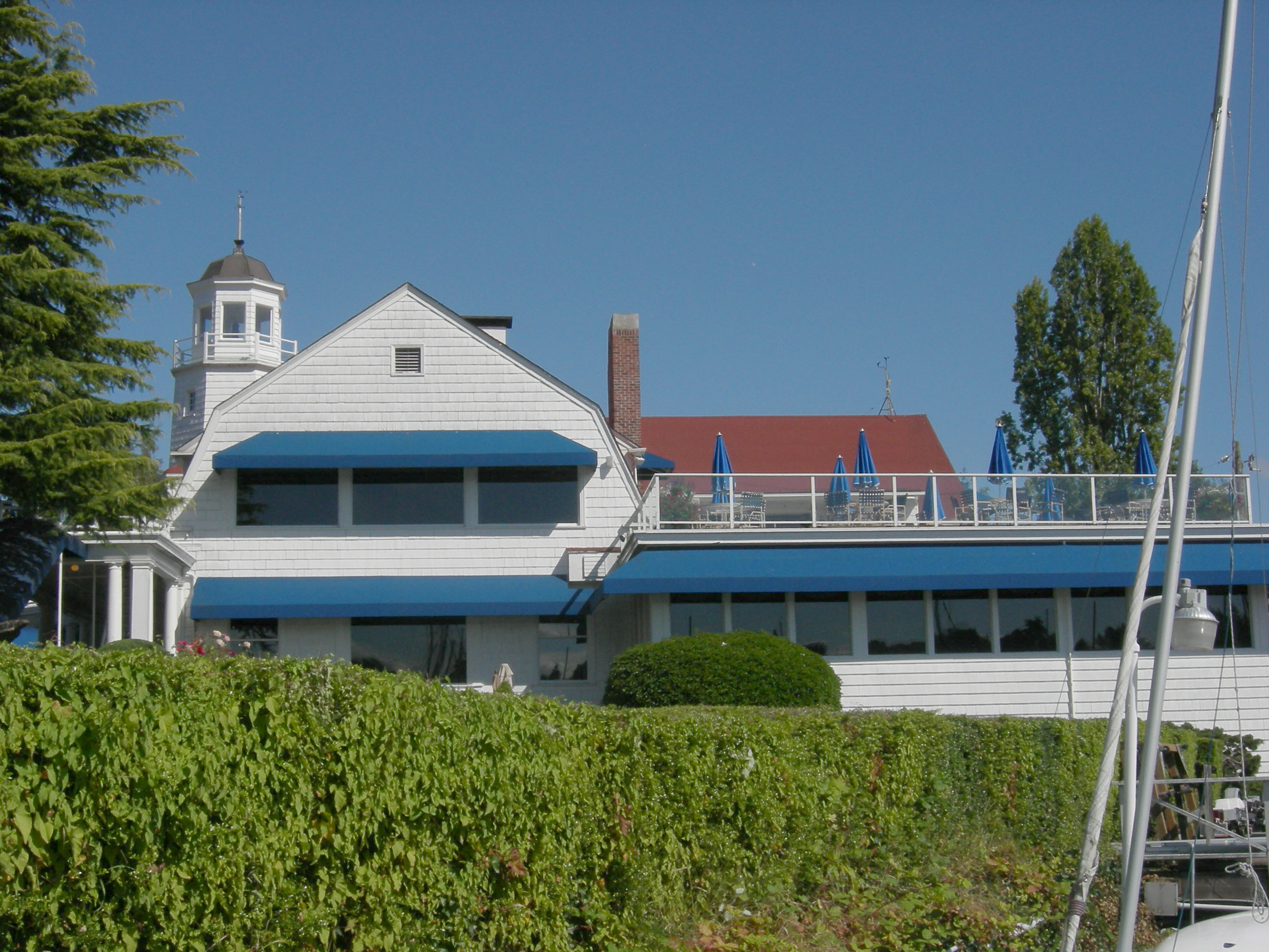
47°34′58″N 122°23′1″W / 47.58278°N 122.38361°WSeattle Carnegie Libraries of Washington TR 129 Seattle Yacht Club-Main Station 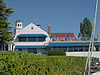
May 10, 2006 1807 Hamlin St.
47°38′50″N 122°18′32″W / 47.64722°N 122.30889°WSeattle 130 Seattle, Chief of the Suquamish, Statue 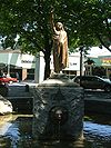
April 19, 1984 5th Ave., Denny Way, and Cedar St.
47°37′7″N 122°20′46″W / 47.61861°N 122.34611°WSeattle 131 Shafer Building 
December 13, 1995 523 Pine St.
47°36′44″N 122°20′3″W / 47.61222°N 122.33417°WSeattle 132 Showboat Theatre image pending April 25, 1986 University of Washington, 1705 N.E. Pacific St.
47°38′58″N 122°18′38″W / 47.64944°N 122.31056°WSeattle Demolished April 1994.[1] 133 Henry Owen Shuey House 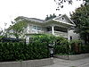
December 5, 2002 5218 16th Ave. NE
47°40′3″N 122°18′33″W / 47.6675°N 122.30917°WSeattle 134 Skinner Building 
November 28, 1978 1300-1334 5th Ave.
47°36′35″N 122°19′57″W / 47.60972°N 122.3325°WSeattle 135 Stimson-Green House 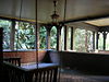
May 4, 1976 1204 Minor Ave.
47°36′43″N 122°19′26″W / 47.61194°N 122.32389°WSeattle 136 Stuart House and Gardens 
April 14, 1983 619 W. Comstock St.
47°37′47″N 122°13′52″W / 47.62972°N 122.23111°WSeattle 137 Summit School 
October 4, 1979 E. Union St. and Summit Ave.
47°36′49″N 122°19′28″W / 47.61361°N 122.32444°WSeattle 138 Temple de Hirsch 
January 5, 1984 15th Ave. and E. Union St.
47°36′48″N 122°18′40″W / 47.61333°N 122.31111°WSeattle 139 Will H. Thompson House 
November 29, 1979 3119 S. Day St.
47°35′26″N 122°17′26″W / 47.59056°N 122.29056°WSeattle 140 Times Building 
January 27, 1983 414 Olive Way
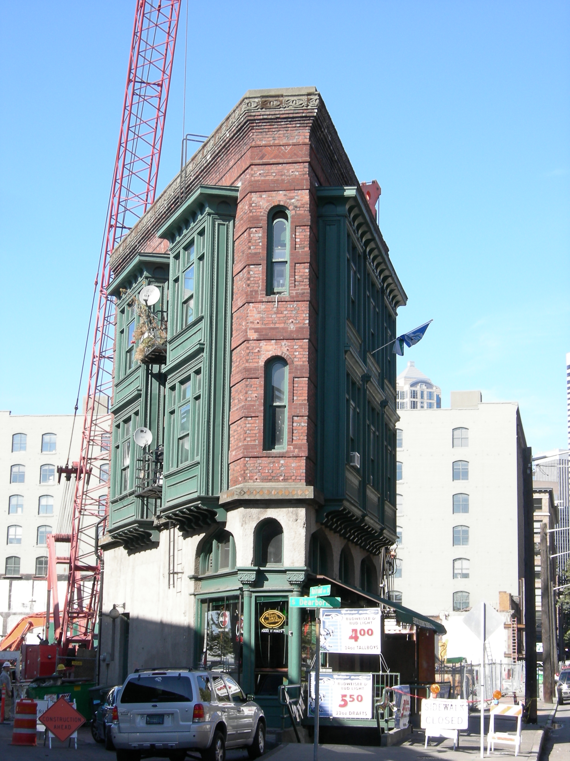
47°36′47″N 122°20′12″W / 47.61306°N 122.33667°WSeattle 141 Triangle Hotel and Bar 
May 3, 1976 551 1st Ave., S.
47°35′49″N 122°19′58″W / 47.59694°N 122.33278°WSeattle 142 Trinity Parish Church 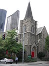
September 26, 1991 609 Eighth Ave.
47°36′19″N 122°19′31″W / 47.60528°N 122.32528°WSeattle 143 Turner-Koepf House 
April 22, 1976 2336 15th Ave., S.
47°35′1″N 122°18′43″W / 47.58361°N 122.31194°WSeattle 144 U.S. Courthouse 
January 8, 1980 1010 5th Ave.
47°36′26″N 122°19′48″W / 47.60722°N 122.33°WSeattle 145 U.S. Immigrant Station and Assay Office 
January 1, 1979 815 Airport Way, S.
47°35′43″N 122°19′33″W / 47.59528°N 122.32583°WSeattle 146 U.S. Marine Hospital 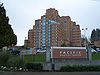
December 21, 1979 1131 14th Ave., S.
47°35′40″N 122°18′57″W / 47.59444°N 122.31583°WSeattle Now known as the Pacific Medical Center. 147 Union Station 
August 30, 1974 4th, S. and S. Jackson Sts.
47°35′56″N 122°19′38″W / 47.59889°N 122.32722°WSeattle 148 United Shopping Tower 
August 18, 1980 217 Pine St.
47°36′38″N 122°20′14″W / 47.61056°N 122.33722°WSeattle 149 University Bridge 
July 16, 1982 Spans Lake Washington Ship Canal
47°39′12″N 122°19′8″W / 47.65333°N 122.31889°WSeattle Historic Bridges and Tunnels in Washington TR 150 University Heights School 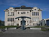
December 7, 2010 50301 University Way NE
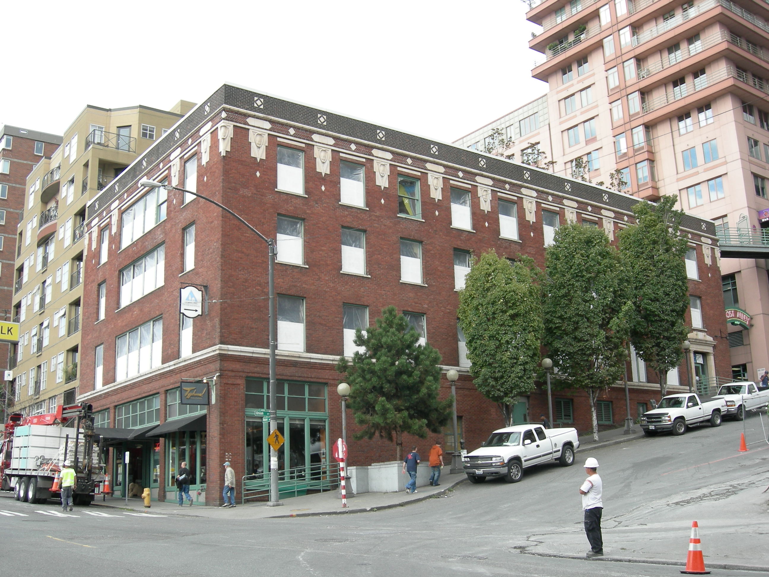
47°39′44″N 122°18′47″W / 47.66222°N 122.31306°WSeattle 151 U.S. Immigration Building 
September 14, 1987 84 Union St.
47°36′28″N 122°20′20″W / 47.60778°N 122.33889°WSeattle 152 USCGC Fir 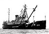
April 27, 1992 1519 Alaskan Way, S.
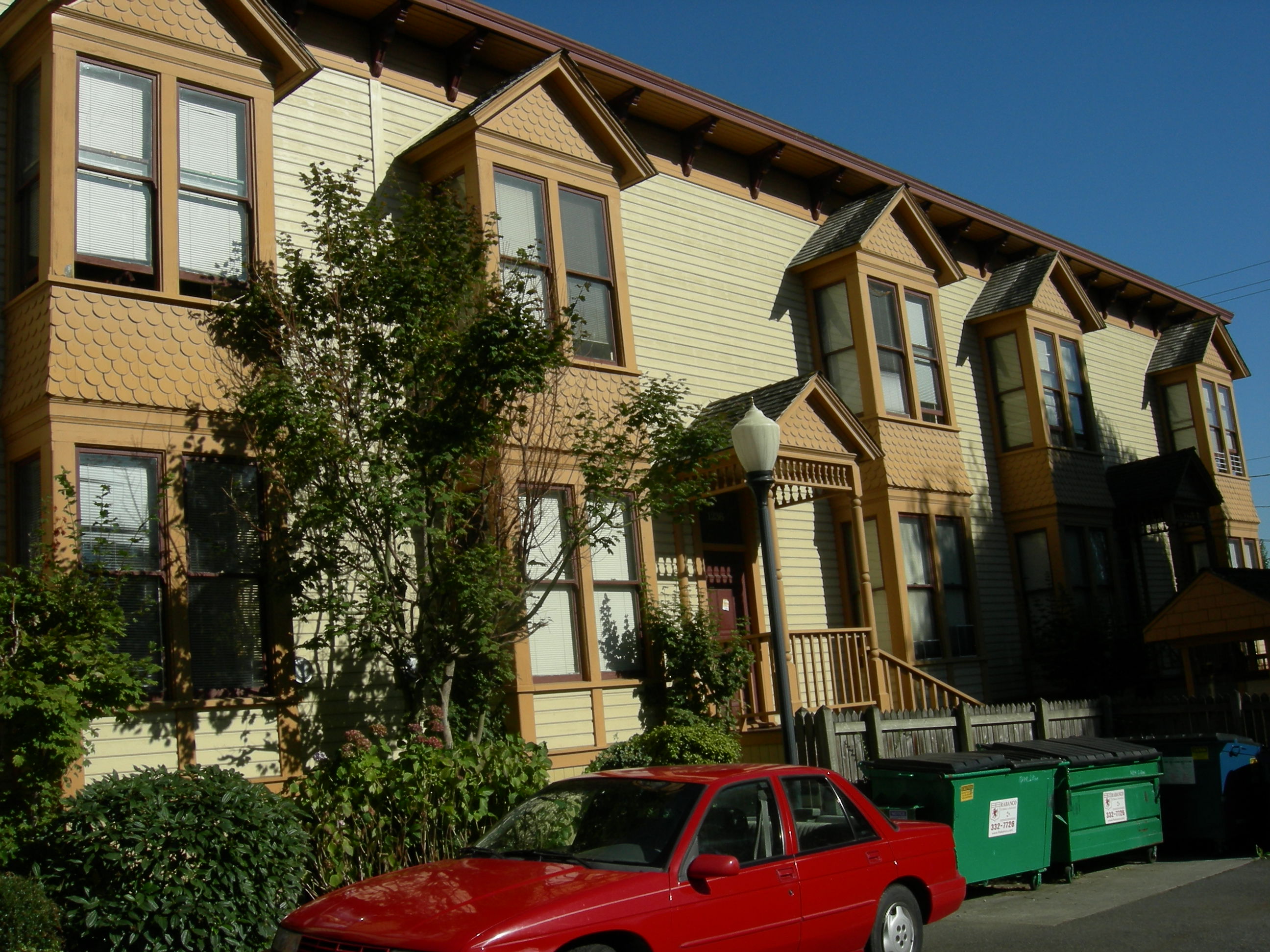
47°35′25″N 122°20′19″W / 47.59028°N 122.33861°WSeattle Listed in Seattle, but is actually in California. 153 Victorian Apartments 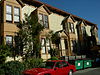
December 18, 1990 1234-1238 S. King St.
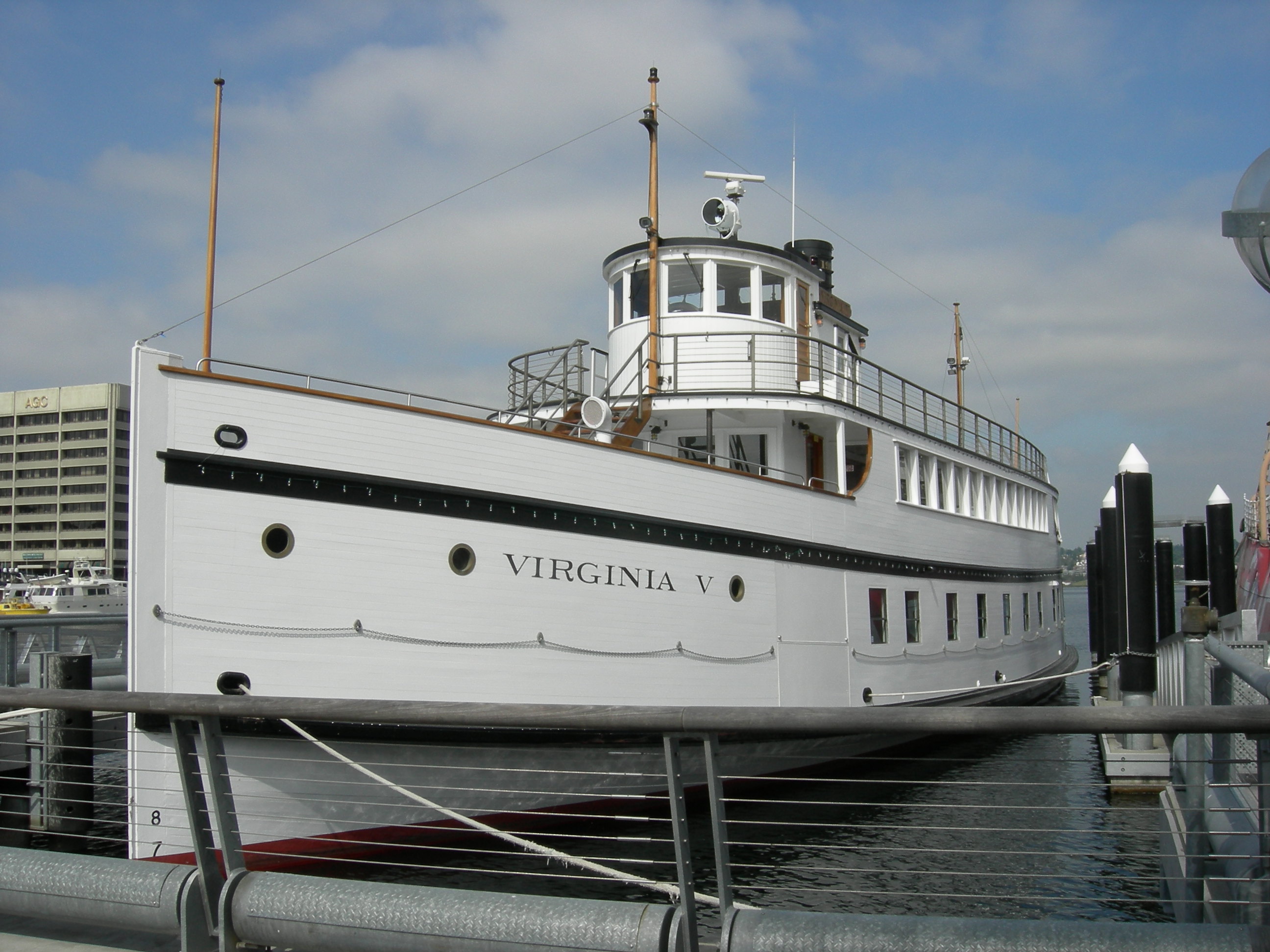
47°35′55″N 122°18′49″W / 47.59861°N 122.31361°WSeattle 154 Virginia V 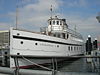
April 24, 1973 4250 21st Ave., W.
47°37′55″N 122°22′54″W / 47.63194°N 122.38167°WSeattle 155 William Volker Building 
October 13, 1983 1000 Lenora St.
47°37′6″N 122°20′30″W / 47.61833°N 122.34167°WSeattle Now part of Cornish College of the Arts. 156 Volunteer Park 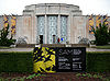
May 3, 1976 Between E. Prospect and E. Galer Sts., and Federal and E. 15th Aves.
47°37′50″N 122°18′52″W / 47.63056°N 122.31444°WSeattle 157 Wagner Houseboat image pending February 19, 1982 2770 Westlake Ave., N.
47°38′45″N 122°20′45″W / 47.64583°N 122.34583°WSeattle 158 Wallingford Fire and Police Station 
January 27, 1983 1629 N. 45th St.
47°39′42″N 122°20′9″W / 47.66167°N 122.33583°WSeattle 159 Ward House 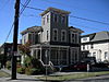
March 16, 1972 520 E. Denny Way
47°36′48″N 122°19′39″W / 47.61333°N 122.3275°WSeattle 160 Washington Hall 
December 13, 2010 153 14th Ave.
47°36′4″N 122°19′18″W / 47.60111°N 122.32167°WSeattle 161 Washington Street Public Boat Landing Facility 
June 10, 1974 S. Washington St. W of Alaskan Way
47°36′4″N 122°19′18″W / 47.60111°N 122.32167°WSeattle 162 Wawona (schooner) 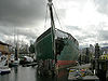
July 1, 1970 Seattle Police Harbor Patrol Dock, foot of Densmore St.
47°38′43″N 122°20′21″W / 47.64528°N 122.33917°WSeattle 163 West Point Light Station 
August 16, 1977 West of Fort Lawton.
47°39′44″N 122°26′4″W / 47.66222°N 122.43444°WSeattle 164 Wilke Farmhouse 
November 1, 1974 1920 2nd Ave. North
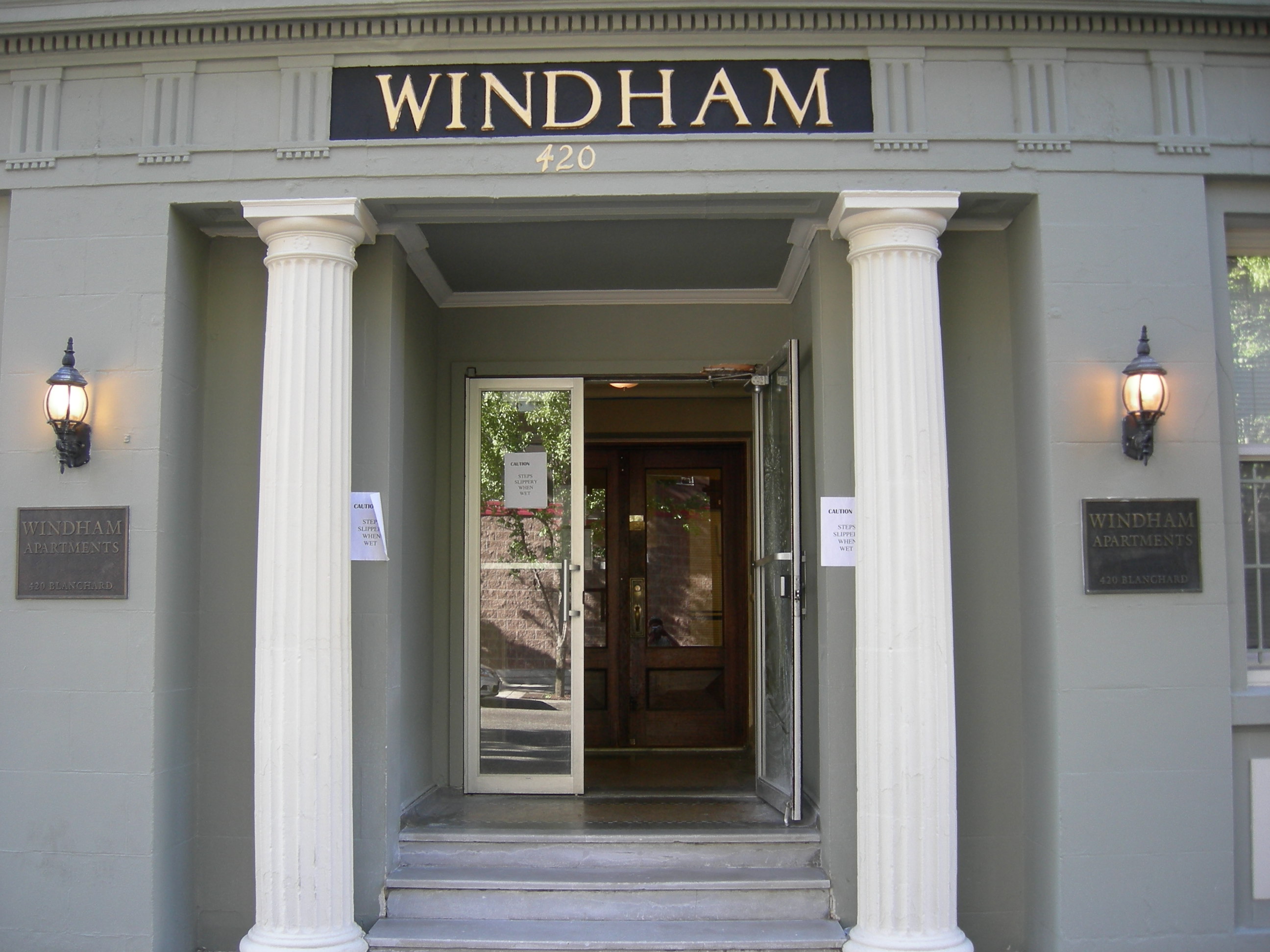
47°38′12″N 122°21′6″W / 47.63667°N 122.35167°WSeattle 165 Windham Apartments 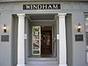
August 2, 2006 420 Blanchard St.
47°37′1″N 122°20′32″W / 47.61694°N 122.34222°WSeattle 166 Women's University Club of Seattle 
July 10, 2009 1105 6th Ave.
47°36′27.9″N 122°19′52.98″W / 47.60775°N 122.3313833°WSeattle 167 Ye College Inn 
February 25, 1982 4000 University Way NE
47°39′26″N 122°18′42″W / 47.65722°N 122.31167°WSeattle 168 YWCA Building-Seattle 
December 29, 2006 1118 Fifth Avenue
47°36′28″N 122°19′58″W / 47.607906°N 122.332753°WSeattle 169 Zodiac (schooner) 
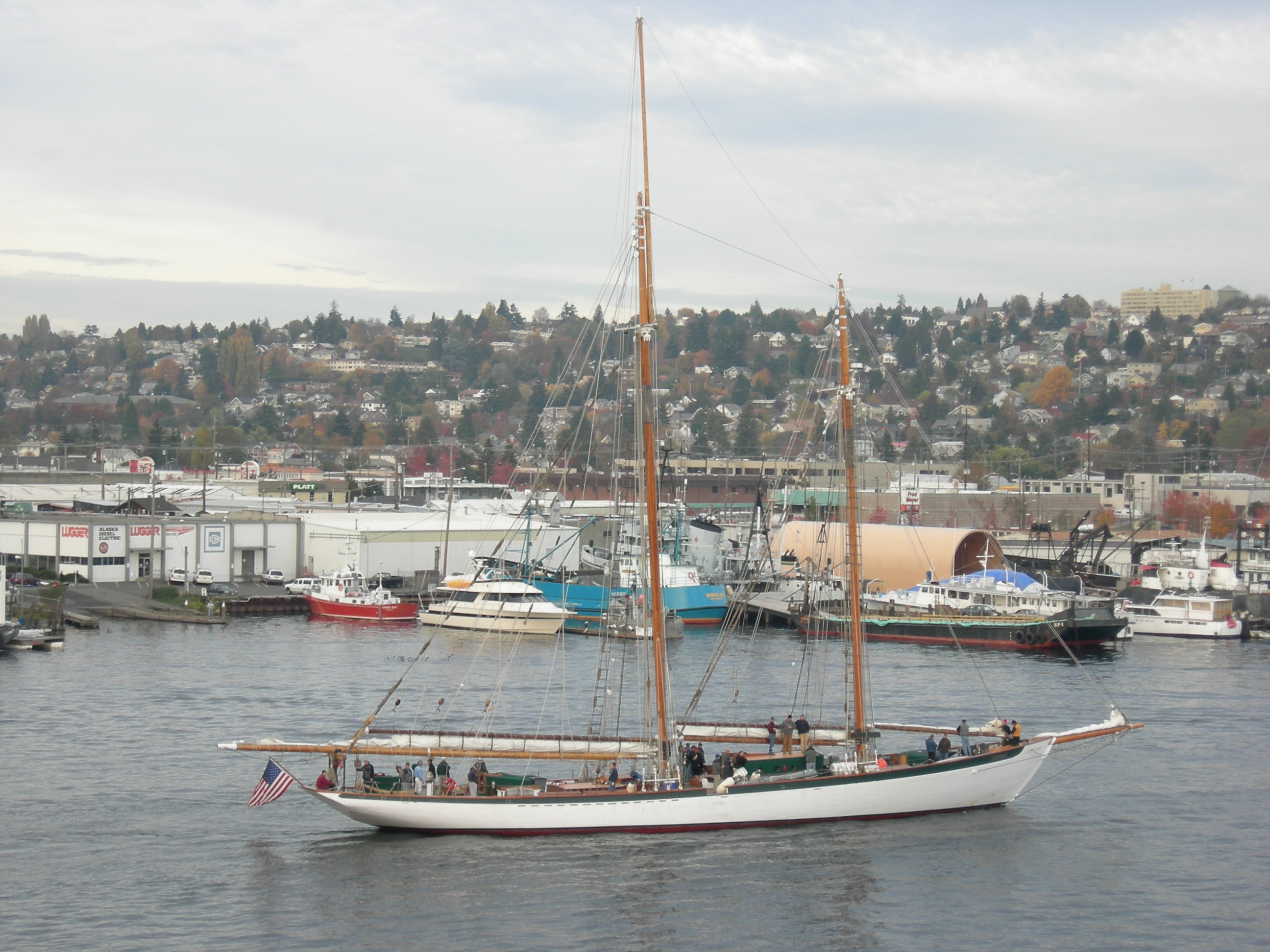
April 29, 1982 Lake Union Dry Dock
47°37′56″N 122°19′38″W / 47.63222°N 122.32722°WSeattle Home port is now in Bellingham, Washington.[2] See also
References
- ^ "National Register of Historic Places: Weekly List Actions". National Park Service, United States Department of the Interior. Retrieved on November 10, 2011.
- ^ Numbers represent an ordering by significant words. Various colorings, defined here, differentiate National Historic Landmark sites and National Register of Historic Places Districts from other NRHP buildings, structures, sites or objects.
- ^ "National Register Information System". National Register of Historic Places. National Park Service. 2008-04-24. http://nrhp.focus.nps.gov/natreg/docs/All_Data.html.
- ^ M/V Vashon, Incident News, Emergency Response Division, Office of Response and Restoration, National Ocean Service, National Oceanic and Atmospheric Administration, US Department of Commerce. Original notice dated 7 June 1986. Retrieved 14 April 2011.
External links
- WASHINGTON - King County at nationalregisterofhistoricplaces.com
- WASHINGTON - King County - Historic Districts at nationalregisterofhistoricplaces.com
U.S. National Register of Historic Places Topics Lists by states Alabama • Alaska • Arizona • Arkansas • California • Colorado • Connecticut • Delaware • Florida • Georgia • Hawaii • Idaho • Illinois • Indiana • Iowa • Kansas • Kentucky • Louisiana • Maine • Maryland • Massachusetts • Michigan • Minnesota • Mississippi • Missouri • Montana • Nebraska • Nevada • New Hampshire • New Jersey • New Mexico • New York • North Carolina • North Dakota • Ohio • Oklahoma • Oregon • Pennsylvania • Rhode Island • South Carolina • South Dakota • Tennessee • Texas • Utah • Vermont • Virginia • Washington • West Virginia • Wisconsin • WyomingLists by territories Lists by associated states Other  Category:National Register of Historic Places •
  Portal:National Register of Historic PlacesCategories:
- History of King County, Washington
- National Register of Historic Places in Seattle, Washington
- History of Seattle, Washington
-


Wikimedia Foundation. 2010.