- Duvall, Washington
-
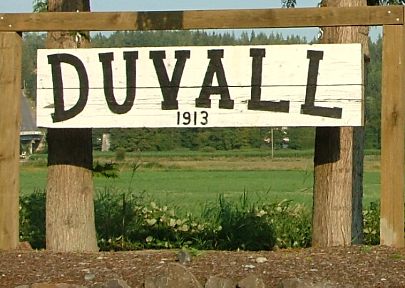
Duvall, Washington — City — The Duvall Welcome Sign.
Nickname(s): Moovall Motto: Join Band! Location of Duvall, Washington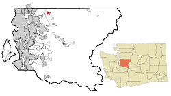
Coordinates: 47°44′3″N 121°58′32″W / 47.73417°N 121.97556°WCoordinates: 47°44′3″N 121°58′32″W / 47.73417°N 121.97556°W Country United States State Washington County King Incorporated 1913 Area – Total 2.3 sq mi (5.9 km2) – Land 2.3 sq mi (5.9 km2) – Water 0.0 sq mi (0.0 km2) Elevation 89 ft (27 m) Population (2010) – Total 6,695 – Density 2,020.5/sq mi (780.1/km2) Time zone Pacific (PST) (UTC-8) – Summer (DST) PDT (UTC-7) ZIP code 98019 Area code(s) 425 844 FIPS code 53-19035 GNIS feature ID 1512165 USDA Hardiness Zone 8 Website http://www.duvallwa.gov/ FIPS code and GNIS feature ID come from the U.S. Census Bureau and the U.S. Geological Survey. Duvall is a city in King County, Washington, United States, located on SR 203, halfway between Monroe and Carnation.[1] The population was 6,695 at the 2010 census.
Contents
History
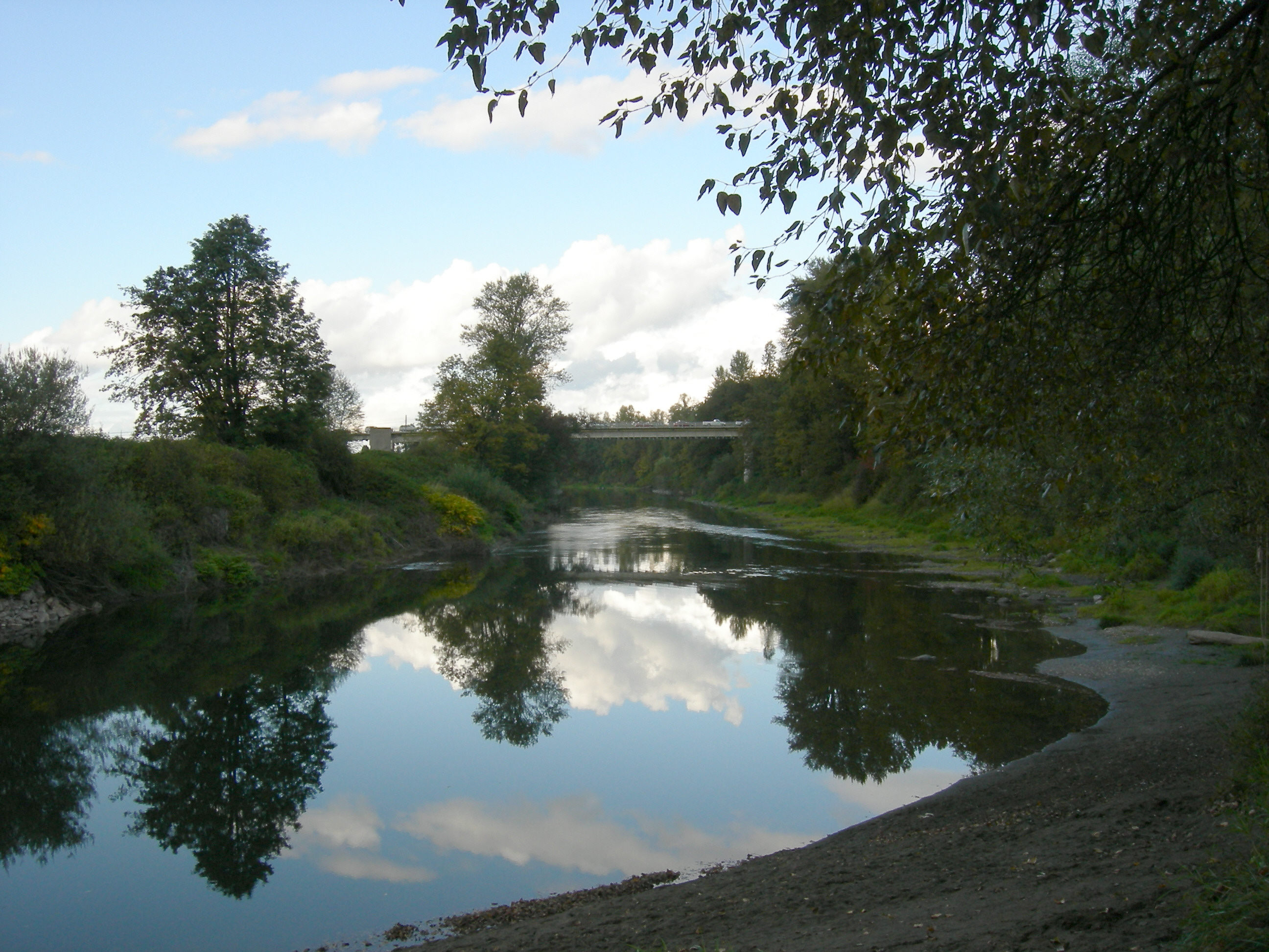
 Bridge crossing the Snoqualmie River on the Woodinville-Duvall Road as it enters the center of Duvall (2007).
The area that became known as Duvall was historically the home of the Snoqualmie and other ancestral Tulalip Native American tribes. Following their relocation under the Treaty of Point Elliott, the area was homesteaded by veterans of the Civil War.[2] The center of present-day town was located on a hillside homesteaded by Francis and James Duvall, loggers who arrived in 1871.[2]
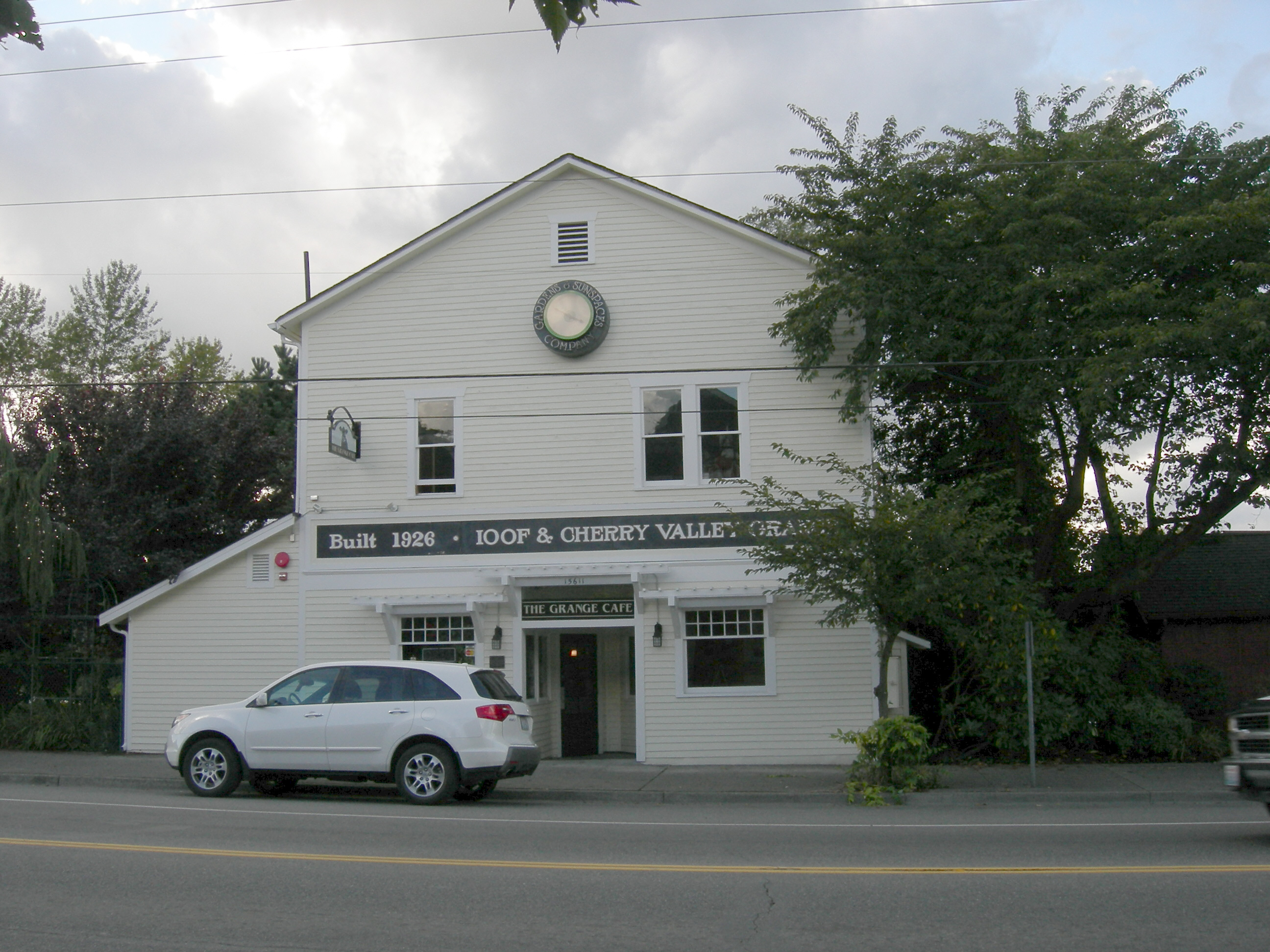
An early milestone in the settlement of Duvall proper was the relocation of the town of Cherry Valley. Around 1909, the Chicago, Milwaukee and St. Paul Railroad agreed to move Cherry Valley homes and businesses to Duvall in order to continue the construction of a railroad line along the Snoqualmie River.[2] The newly-relocated town, briefly named Cosgrove after Samuel G. Cosgrove, underwent a real estate boom; streets and sidewalks were laid and a train depot was constructed.[2] This was followed by construction of a movie house, a drug store, a new schoolhouse, and several hotels.[2] By 1911, the Duvall Citizen began publishing regular editions of news events.[2][3]
On April 28, 1968, nearly 3,000 fans attended a rock concert at a farm in Duvall where an upright piano was dropped from a helicopter. Performances included Country Joe and the Fish. This concert is well-known to locals as the Piano Drop. This event inspired the Sky River Rock Festival and Lighter Than Air Fair which occurred later that year.[4]
The town of Duvall has experienced a great amount of construction during the period of 2008-2009 with the aim of making the one-road town center more accessible and presentable to tourists.[citation needed]
Demographics
Historical populations Census Pop. %± 1920 258 — 1930 200 −22.5% 1940 234 17.0% 1950 236 0.9% 1960 345 46.2% 1970 607 75.9% 1980 729 20.1% 1990 2,770 280.0% 2000 4,616 66.6% 2010 6,695 45.0% There were 1,646 housing units at an average density of 720.5 per square mile (278.7/km²). The racial makeup of the city was 93.46% White, 0.45% African American, 0.45% Native American, 1.97% Asian, 0.04% Pacific Islander, 1.49% from other races, and 2.12% from two or more races. Hispanic or Latino of any race were 3.73% of the population.
There were 1,596 households out of which 49.4% had children under the age of 18 living with them, 71.4% were married couples living together, 7.1% had a female householder with no husband present, and 18.1% were non-families. 13.2% of all households were made up of individuals and 2.5% had someone living alone who was 65 years of age or older. The average household size was 2.88 and the average family size was 3.15.
In the city the population was spread out with 32.4% under the age of 18, 5.0% from 18 to 24, 42.9% from 25 to 44, 16.5% from 45 to 64, and 3.2% who were 65 years of age or older. The median age was 33 years. For every 100 females there were 98.0 males. For every 100 females age 18 and over, there were 99.9 males.
The median income for a household in the city was $71,300, and the median income for a family was $78,740. Males had a median income of $51,164 versus $41,806 for females. The per capita income for the city was $27,764. About 2.8% of families and 3.8% of the population were below the poverty line, including 5.2% of those under age 18 and none of those age 65 or over.
Town events
Every spring/summer there is a festival held titled "Duvall Days",[5] also known as Coe's Day. The event is typically marked by a parade (which was cancelled in 2002 due to complaints regarding noise and/or littering, then later reinstated by citizen request[citation needed]), street side vendors, live entertainment, and many games and activities for children. The day kicks off with the Duvall Fun Run that includes both a 10-kilometer and 5-kilometer race.[6]
The day after Duvall Days is the day of the pancake breakfast, which is hosted by the town fire department and provides a breakfast of ham, eggs and pancakes.
Over the last ten years, certain aspects of the event have been banned each year.[citation needed] An example of this would be potato guns and silly string, both now officially banned from sale by vendors during the event. Although some aspects have been banned over the years, the event continues to grow in popularity.
Geography
Duvall is located at 47°44′3″N 121°58′32″W / 47.73417°N 121.97556°W (47.734149, -121.975493).[7]
According to the United States Census Bureau, the city has a total area of 2.3 square miles (5.9 km²), all land.
Surrounding cities and communities

Maltby Monroe Woodinville 
 Duvall

Redmond Union Hill-Novelty Carnation References
- ^ About Duvall from the city's official website
- ^ a b c d e f Duvall — Thumbnail History from the Online Encyclopedia of Washington State History
- ^ Duvall Newspaper Index from the Online Encyclopedia of Washington State History
- ^ Walt Crowley, Rites of Passage: A Memoir of the Sixties in Seattle (Seattle: University of Washington Press, 1995), 110-112, 255.
- ^ Duvall Days ~ June 4, 2005
- ^ Fun Runs
- ^ "US Gazetteer files: 2010, 2000, and 1990". United States Census Bureau. 2011-02-12. http://www.census.gov/geo/www/gazetteer/gazette.html. Retrieved 2011-04-23.
External links
Categories:- Cities in King County, Washington
- Populated places established in 1913


Wikimedia Foundation. 2010.