- National Register of Historic Places listings in Union County, Oregon
-
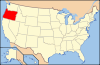
 Location of Union County in Oregon
The following list presents the full set of National Register of Historic Places listings in Union County, Oregon, and offers brief descriptive information about each of them. The National Register of Historic Places (NRHP) recognizes buildings, structures, objects, sites, and districts of national, state, or local historic significance across the United States.[1] Out of over 80,000 NRHP sites nationwide,[2] Oregon is home to approximately 1,900,[3] and 19 of those are found in Union County.
-
- This National Park Service list is complete through NPS recent listings posted November 10, 2011.[4]
Contents
Current listings
[5] Site name[6] Image Date listed[6] Location[7] City or Town[8] Summary 1 Administration Building 
None Eastern Oregon University campus
45°19′17″N 118°05′25″W / 45.32151°N 118.0902°WLa Grande 2 John Anthony House None 1606 6th Street
45°19′33″N 118°05′40″W / 45.32574°N 118.0944°WLa Grande 3 Anthony–Buckley House None 1602 6th Street
45°19′33″N 118°05′40″W / 45.32571°N 118.0944°WLa Grande 4 Ascension Episcopal Church and Rectory 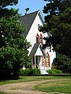
None Church Street
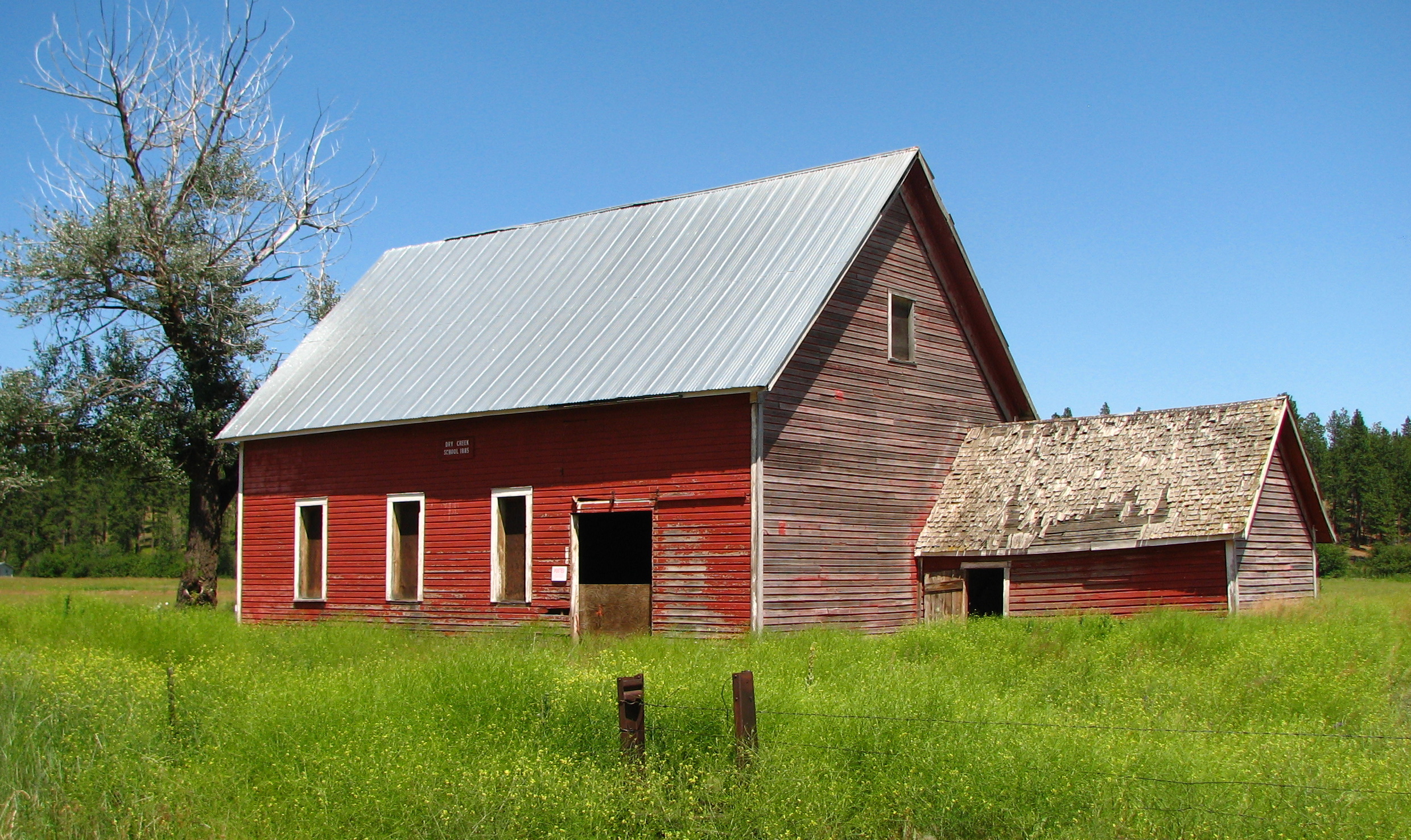
45°17′52″N 117°48′47″W / 45.2979°N 117.8131°WCove 5 Dry Creek School 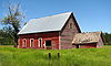
None 69281 Summerville Road
45°31′16.66″N 118°01′33.56″W / 45.5212944°N 118.0259889°W[9]Summerville vicinity 6 Abel E. Eaton House None 464 N. Main Street
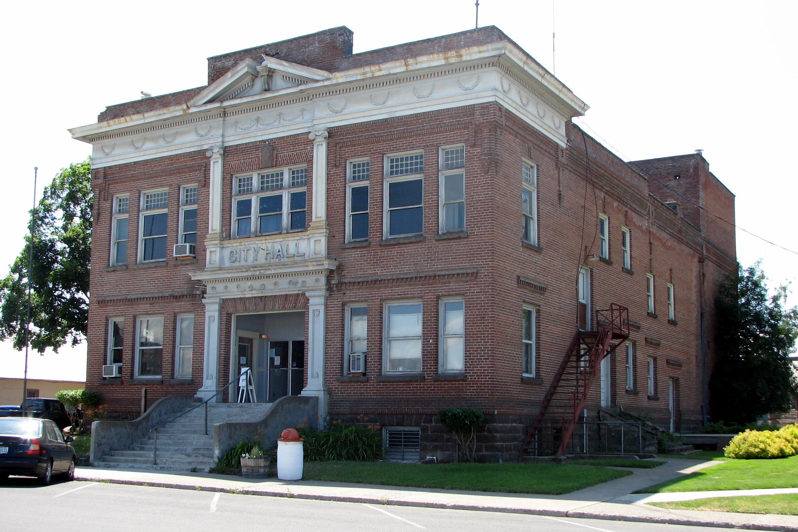
45°12′42″N 117°51′55″W / 45.2117°N 117.8654°WUnion This fine French Second Empire-style house was built in 1904 for Abel Eaton, a prosperous Union businessman, community leader, and mayor. It stands in the north Union neighborhood that was the town's upscale residential area during its period of rapid and vigorous growth in the late 19th and early 20th centuries.[10] 7 Elgin City Hall and Opera House 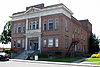
None 100 N. 8th Street
45°33′56″N 117°55′02″W / 45.5655°N 117.9173°WElgin 8 Foley Building 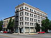
None 206 Chestnut Street
45°19′46″N 118°05′43″W / 45.3294°N 118.0954°WLa Grande 9 Hot Lake Resort 
None 66172 Highway 203
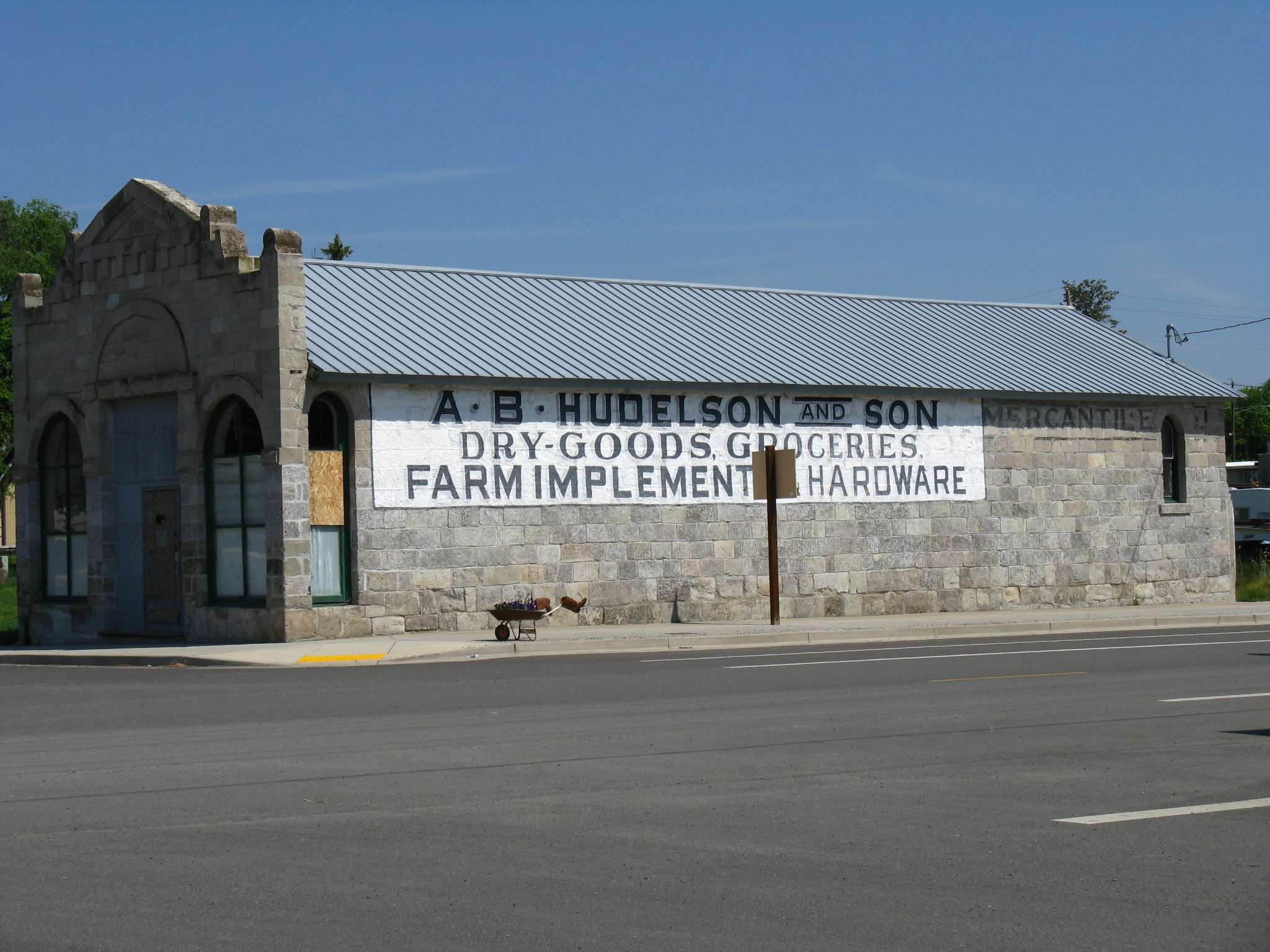
45°14′35″N 117°57′28″W / 45.24313°N 117.9577°WLa Grande vicinity 10 A.B. Hudelson and Son Building 
None 200 E Street
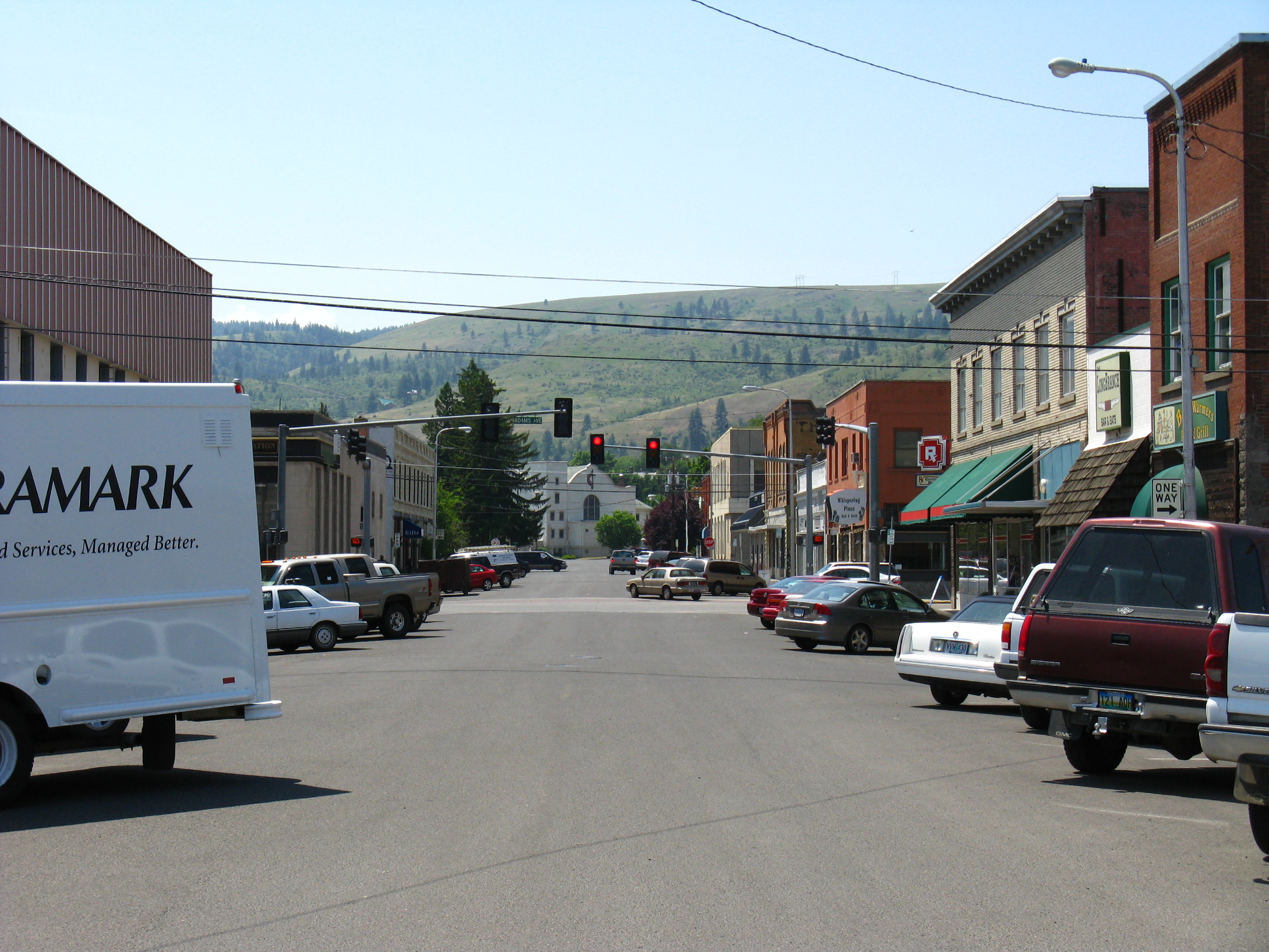
45°01′39″N 117°55′08″W / 45.02741°N 117.9188°WNorth Powder 11 La Grande Commercial Historic District 
None Roughly bounded by Union Pacific Railroad tracks along Jefferson Street, Greenwood and Cove Streets, Washington Street, and 4th Street
45°19′43″N 118°05′32″W / 45.32867°N 118.0922°W (approx.)La Grande 12 La Grande Neighborhood Club None 1108 N Avenue
45°19′26″N 118°05′43″W / 45.32381°N 118.0954°WLa Grande 13 Liberty Theater 
None 1008–1010 Adams Avenue
45°19′45″N 118°05′45″W / 45.32911°N 118.0957°WLa Grande 14 Roesch Building None 101–111 Fir Street
45°19′36″N 118°05′35″W / 45.3267°N 118.093°WLa Grande 15 Slater Building 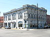
None 214–224 Fir Street
45°19′39″N 118°05′32″W / 45.32752°N 118.0921°WLa Grande 16 August J. Stange House None 1612 Walnut Street
45°19′33″N 118°06′15″W / 45.32583°N 118.1041°WLa Grande 17 W.J. Townley House None 782 N. 5th Street
45°12′50″N 117°52′14″W / 45.21396°N 117.8706°WUnion 18 U.S. Post Office and Federal Building 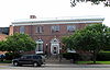
None 1000 Adams Avenue
45°19′47″N 118°05′46″W / 45.3297°N 118.0962°WLa Grande 19 Union Main Street Historic District 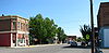
None Along Main Street, between Birch and Fulton Streets
45°12′32″N 117°51′57″W / 45.20893°N 117.8657°W (approx.)Union The buildings of Union's downtown core and oldest residential neighborhoods recall the town's long and vitalizing, but ultimately unsuccessful, rivalry in the late 19th century with nearby La Grande to lead Union County in transportation, commerce, population, and government. Significant structures include many from Union's period of rapid growth from its early years through World War I (1870–1919), and a smaller number from the decades just after the town reached its zenith (1920–1940).[10] References
- ^ National Park Service (1997), How to Apply the National Register Criteria for Evaluation, National Register Bulletins, http://www.nps.gov/history/nr/publications/bulletins/nrb15/nrb15.pdf, retrieved 2008-12-17
- ^ National Park Service. "National Register Research". National Register of Historic Places. http://www.nps.gov/nr/research/index.htm. Retrieved 2008-12-17.
- ^ Oregon Parks and Recreation Department (2009-10-19), Oregon National Register List, http://www.oregonheritage.org/OPRD/HCD/NATREG/docs/oregon_nr_list.pdf, retrieved 2009-10-26
- ^ "National Register of Historic Places: Weekly List Actions". National Park Service, United States Department of the Interior. Retrieved on November 10, 2011.
- ^ Numbers represent an ordering by significant words (e.g. last name). Various colorings (defined here) differentiate standalone NRHP sites from NRHP sites that also hold status as National Historic Landmarks, historic districts, National Historical Parks, or hold other historic designations.
- ^ a b "National Register Information System". National Register of Historic Places. National Park Service. no date specified. http://nrhp.focus.nps.gov/natreg/docs/All_Data.html.
- ^ Text: Except as otherwise noted, all entries are drawn from: Oregon Parks and Recreation Department (2009-10-19), Oregon National Register List, http://www.oregonheritage.org/OPRD/HCD/NATREG/docs/oregon_nr_list.pdf, retrieved 2009-10-26.
Coordinates: Except as otherwise noted, all entries are drawn from Google Earth KMZ files available at: National Park Service. "National Register Information System". http://www.cr.nps.gov/NR/research/nris.htm. - ^ Except as otherwise noted, all entries are drawn from: Oregon Parks and Recreation Department (2009-10-19), Oregon National Register List, http://www.oregonheritage.org/OPRD/HCD/NATREG/docs/oregon_nr_list.pdf, retrieved 2009-10-26
- ^ Coordinates adjusted for accuracy by editor.
- ^ a b Almquist, Kathleen Edvalson; Morrison, Cathi; Brookshire, K. Walter; Carter, Elizabeth J.; et al. (July 1, 1997), National Register of Historic Places Registration Form: Union Main Street Historic District (including supplemental comments by the Oregon State Historic Preservation Office)
See also
- National Register of Historic Places listings in Oregon
- Listings in adjacent counties: Baker, Grant, Umatilla, Wallowa
- Historic preservation
- History of Oregon
- Lists of Oregon-related topics
External links
Municipalities and communities of Union County, Oregon Cities Cove | Elgin | Imbler | Island City | La Grande | North Powder | Summerville | Union

Unincorporated
communitiesAlicel | Hilgard | Hot Lake | Medical Springs | Orodell | Perry | Pondosa | Starkey | Telocaset
Indian reservation Ghost town U.S. National Register of Historic Places in Oregon Lists by county Baker • Benton • Clackamas • Clatsop • Columbia • Coos • Crook • Curry • Deschutes • Douglas • Gilliam • Grant • Harney • Hood River • Jackson • Jefferson • Josephine • Klamath • Lake • Lane • Lincoln • Linn • Malheur • Marion • Morrow • Multnomah: Portland North • Multnomah: Portland Northeast • Multnomah: Portland Northwest • Multnomah: Portland Southeast • Multnomah: Portland Southwest • Multnomah: Other • Polk • Sherman • Tillamook • Umatilla • Union • Wallowa • Wasco • Washington • Wheeler • Yamhill
Other lists Categories:- National Register of Historic Places listings by county in Oregon
- Union County, Oregon
- Oregon-related lists
-


Wikimedia Foundation. 2010.