- North Powder, Oregon
-
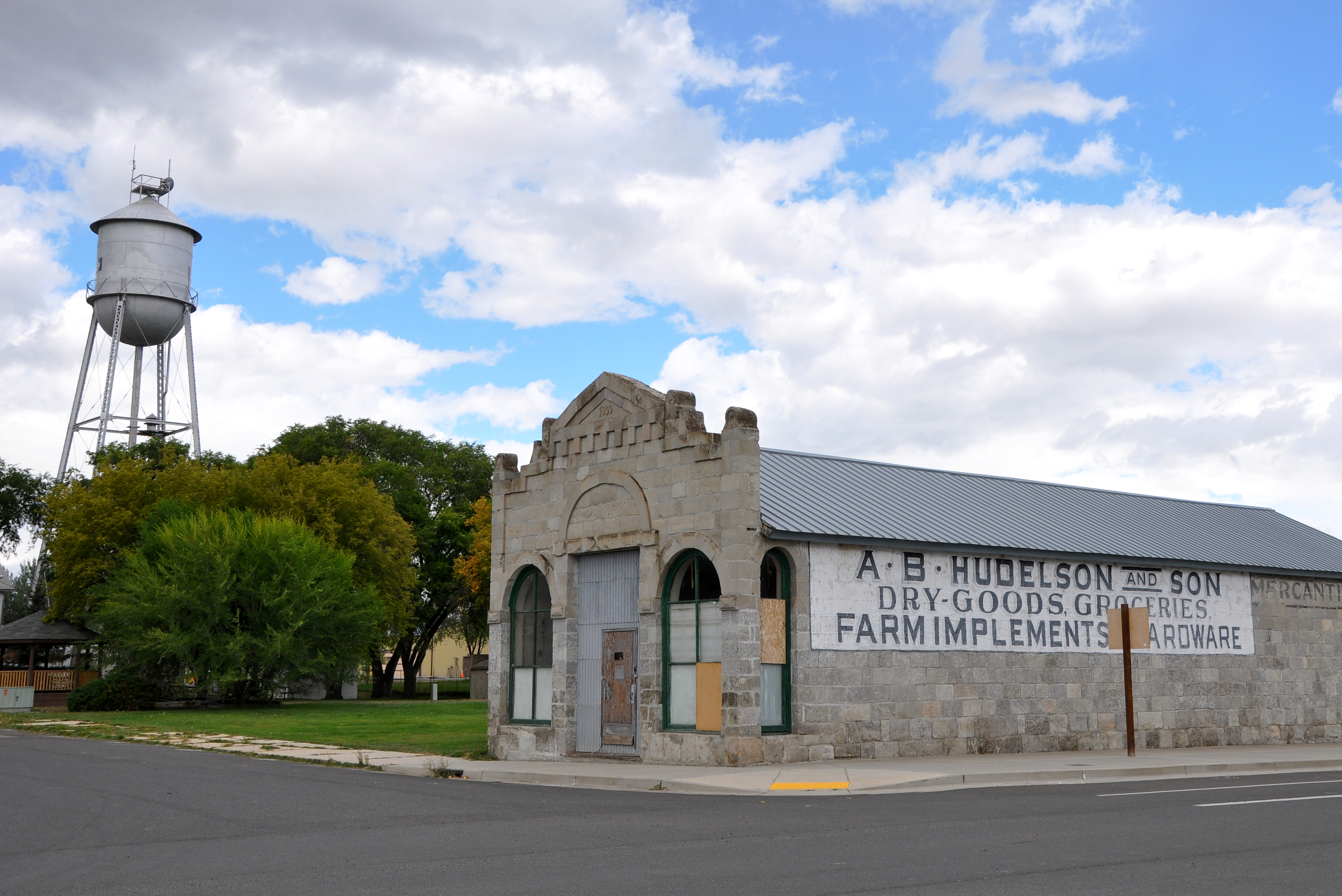
North Powder, Oregon — City — Building in downtown North Powder Location in Oregon
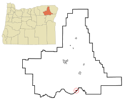
Coordinates: 45°1′48″N 117°55′15″W / 45.03°N 117.92083°WCoordinates: 45°1′48″N 117°55′15″W / 45.03°N 117.92083°W Country United States State Oregon County Union Incorporated 1903 Government – Mayor Bonita Hebert Area – Total 0.6 sq mi (1.6 km2) – Land 0.6 sq mi (1.6 km2) – Water 0 sq mi (0 km2) Elevation 3,256 ft (992.43 m) Population (2000) – Total 489 – Density 797.7/sq mi (309.5/km2) Time zone Pacific (UTC-8) – Summer (DST) Pacific (UTC-7) ZIP code 97867 Area code(s) 541 FIPS code 41-53300[1] GNIS feature ID 1124835[2] North Powder is a city in Union County, Oregon, United States. The population was 489 at the 2000 census.
Contents
History
North Powder was platted in 1885 or 1886 along the Oregon Railway and Navigation Company rail line, having been a stage stop before then.[3]
David Eccles, a Mormon businessman, created the Hall Brothers Lumber Company in the town once the railway arrived.[4]
North Powder prospered because it had an icehouse that supplied the refrigerator cars of Pacific Fruit Express until the icehouse burned down in the 1930s.[3]
Geography
According to the United States Census Bureau, the city has a total area of 0.6 square miles (1.6 km2), all of it land.
Demographics
As of the census[1] of 2000, there were 489 people, 184 households, and 130 families residing in the city. The population density was 797.7 people per square mile (309.5/km²). There were 209 housing units at an average density of 340.9 per square mile (132.3/km²). The racial makeup of the city was 96.32% White, 0.61% African American, 0.61% Native American, 0.41% Asian, 0.20% Pacific Islander, and 1.84% from two or more races. Hispanic or Latino of any race were 3.07% of the population.
There were 184 households out of which 32.1% had children under the age of 18 living with them, 56.5% were married couples living together, 9.2% had a female householder with no husband present, and 29.3% were non-families. 25.0% of all households were made up of individuals and 10.9% had someone living alone who was 65 years of age or older. The average household size was 2.66 and the average family size was 3.11.
In the city the population was spread out with 30.3% under the age of 18, 5.1% from 18 to 24, 26.0% from 25 to 44, 22.3% from 45 to 64, and 16.4% who were 65 years of age or older. The median age was 39 years. For every 100 females there were 97.2 males. For every 100 females age 18 and over, there were 93.8 males.
The median income for a household in the city was $24,167, and the median income for a family was $27,188. Males had a median income of $27,500 versus $19,063 for females. The per capita income for the city was $11,231. About 22.1% of families and 25.9% of the population were below the poverty line, including 39.6% of those under age 18 and 12.1% of those age 65 or over.
References
- ^ a b "American FactFinder". United States Census Bureau. http://factfinder.census.gov. Retrieved 2008-01-31.
- ^ "US Board on Geographic Names". United States Geological Survey. 2007-10-25. http://geonames.usgs.gov. Retrieved 2008-01-31.
- ^ a b Bailey, Barbara Ruth (1982). Main Street: Northeastern Oregon. Oregon Historical Society. pp. 46, 70. ISBN 0875950736.
- ^ Deumling, Dietrich (1972-05). The roles of the railroad in the development of the Grande Ronde Valley (masters thesis). Flagstaff, Arizona: Northern Arizona University. pp. 51–52. OCLC 4383986.
External links
Municipalities and communities of Union County, Oregon Cities Cove | Elgin | Imbler | Island City | La Grande | North Powder | Summerville | Union

Unincorporated
communitiesAlicel | Hilgard | Hot Lake | Medical Springs | Orodell | Perry | Pondosa | Starkey | Telocaset
Indian reservation Ghost town Categories:- Cities in Oregon
- Populated places in Union County, Oregon
- Populated places established in 1886


Wikimedia Foundation. 2010.