- National Register of Historic Places listings in West Side Chicago
-
For places listed on the National Register in the rest of Chicago, see National Register of Historic Places listings in North Side Chicago, National Register of Historic Places listings in South Side Chicago or National Register of Historic Places listings in Central Chicago, for Cook County, see National Register of Historic Places listings in Cook County, Illinois.
There are 54 sites in the National Register of Historic Places listings in West Side Chicago, out of 326 listings in the City of Chicago. The West Side is defined for this article as the area north of the Chicago Sanitary and Ship Canal, south of Fullerton Avenue, west of the Chicago River and east of the western city limits. One site, Logan Square Boulevards Historic District, spans a border and is included also in listings on the North Side.
Contents
West Side Chicago listings on the National Register
The listed properties are distributed across 9 of the 77 well-defined community areas of Chicago.
-
- This National Park Service list is complete through NPS recent listings posted November 10, 2011.[1]
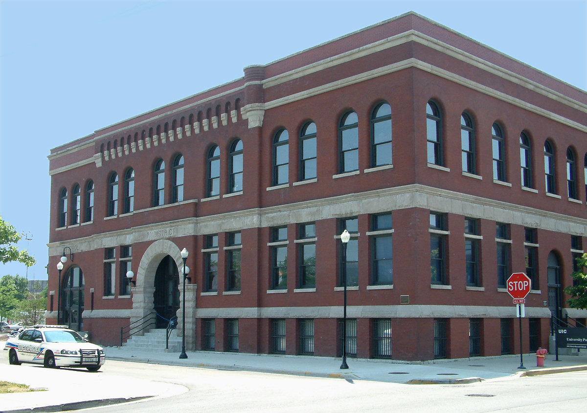
[2] Landmark name[3] Image Date listed[3] Location[3] Neighborhood Description 1 7th District Police Station 
May 2, 1996 943-949 W. Maxwell Street
41°51′52″N 87°39′2″W / 41.86444°N 87.65056°WNear West Side Romanesque style police station that served in pacifying the "Bloody Maxwell" area from 1888 to 1988.[4] 2 Austin Historic District August 8, 1985 Roughly bounded by W. Ohio Street, N. Waller Avenue, N. Parkside Avenue, W. West End Avenue, & N. Mayfield Avenue & W. Corcoran Place
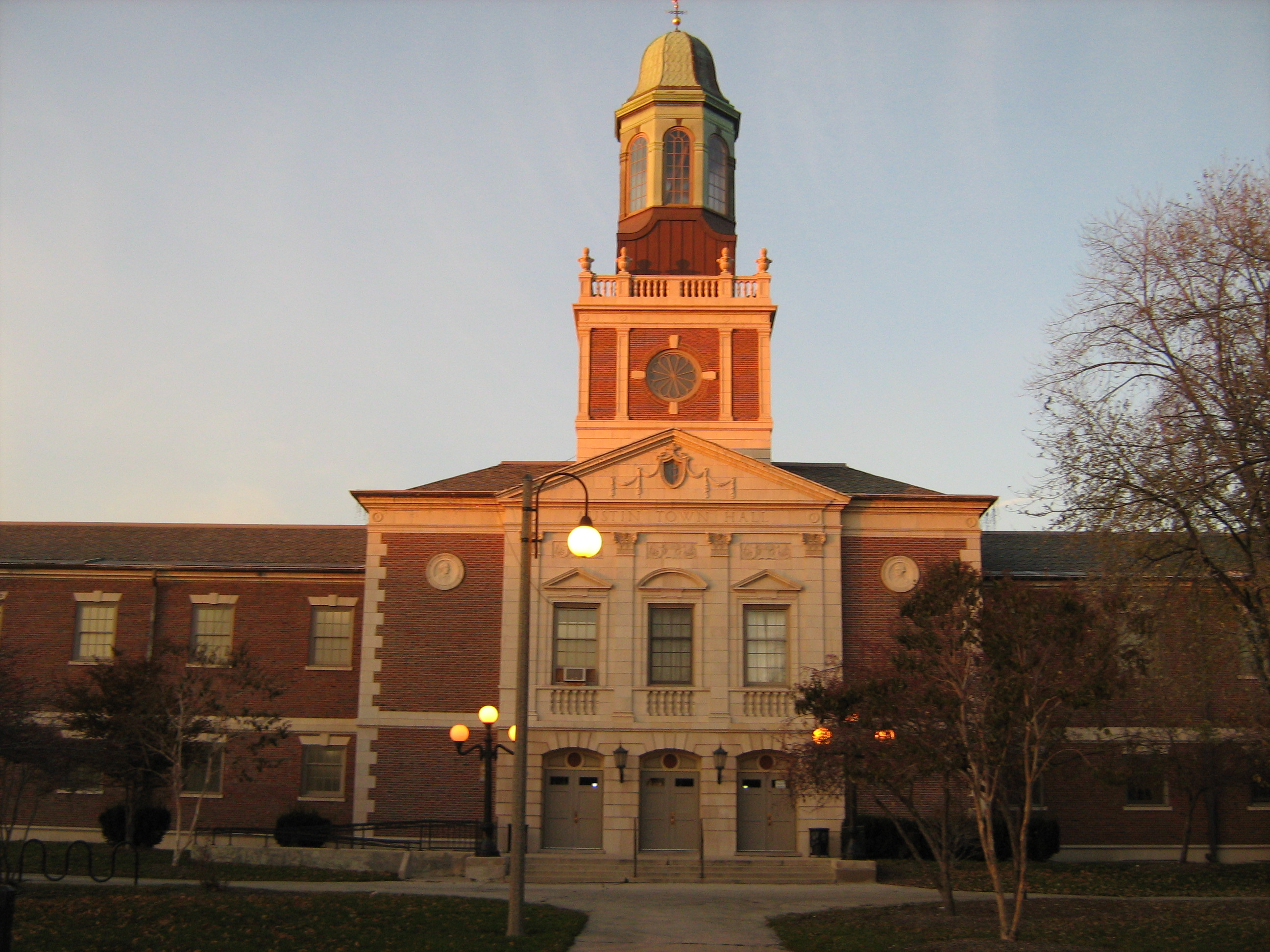
41°53′12″N 87°46′12″W / 41.88667°N 87.77°WAustin 3 Austin Town Hall Park Historic District 
November 15, 2006 Roughly bounded by W. Lake Street, N. Central Avenue, N. Parkside Avenue, and W. Race Avenue
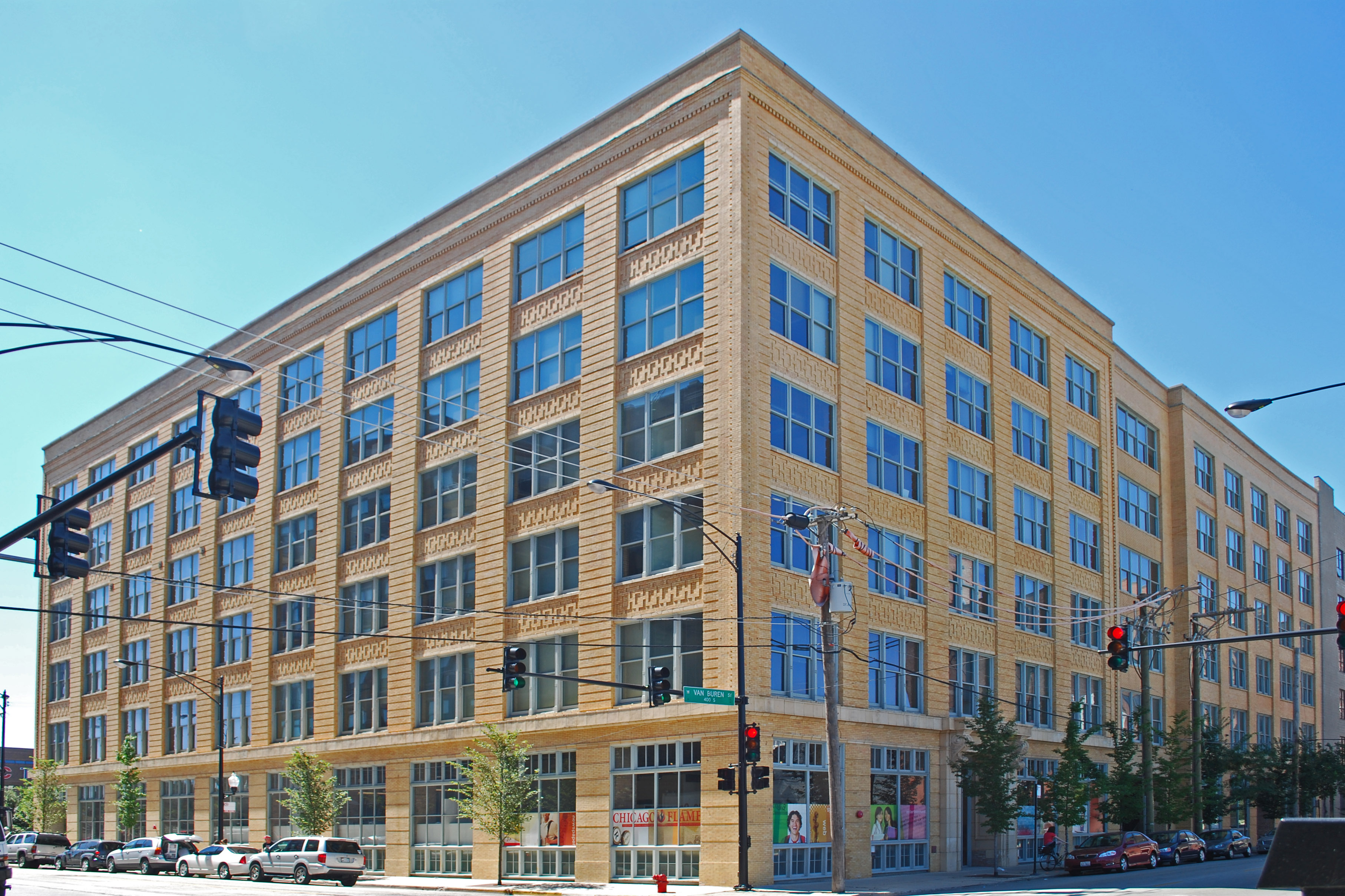
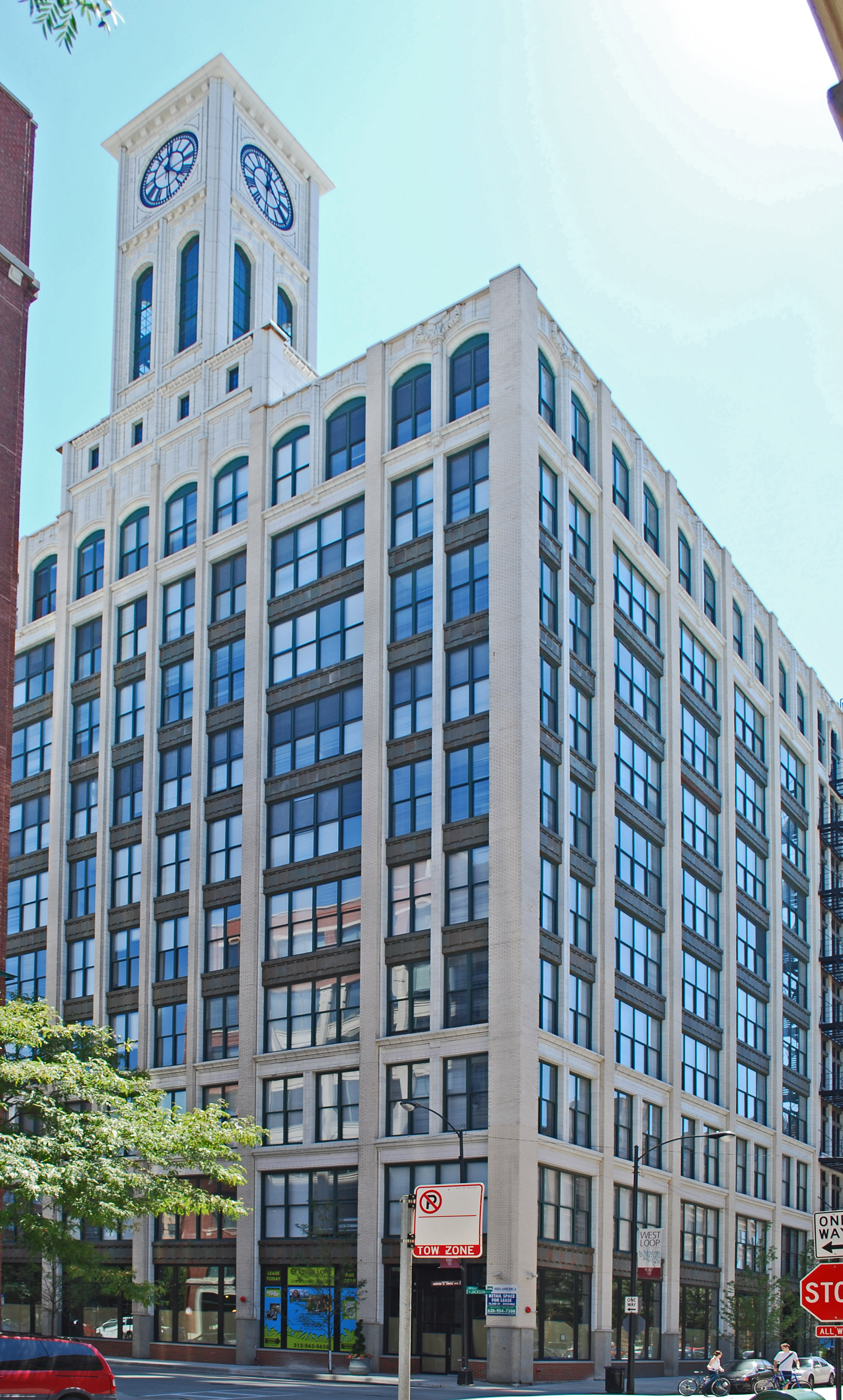
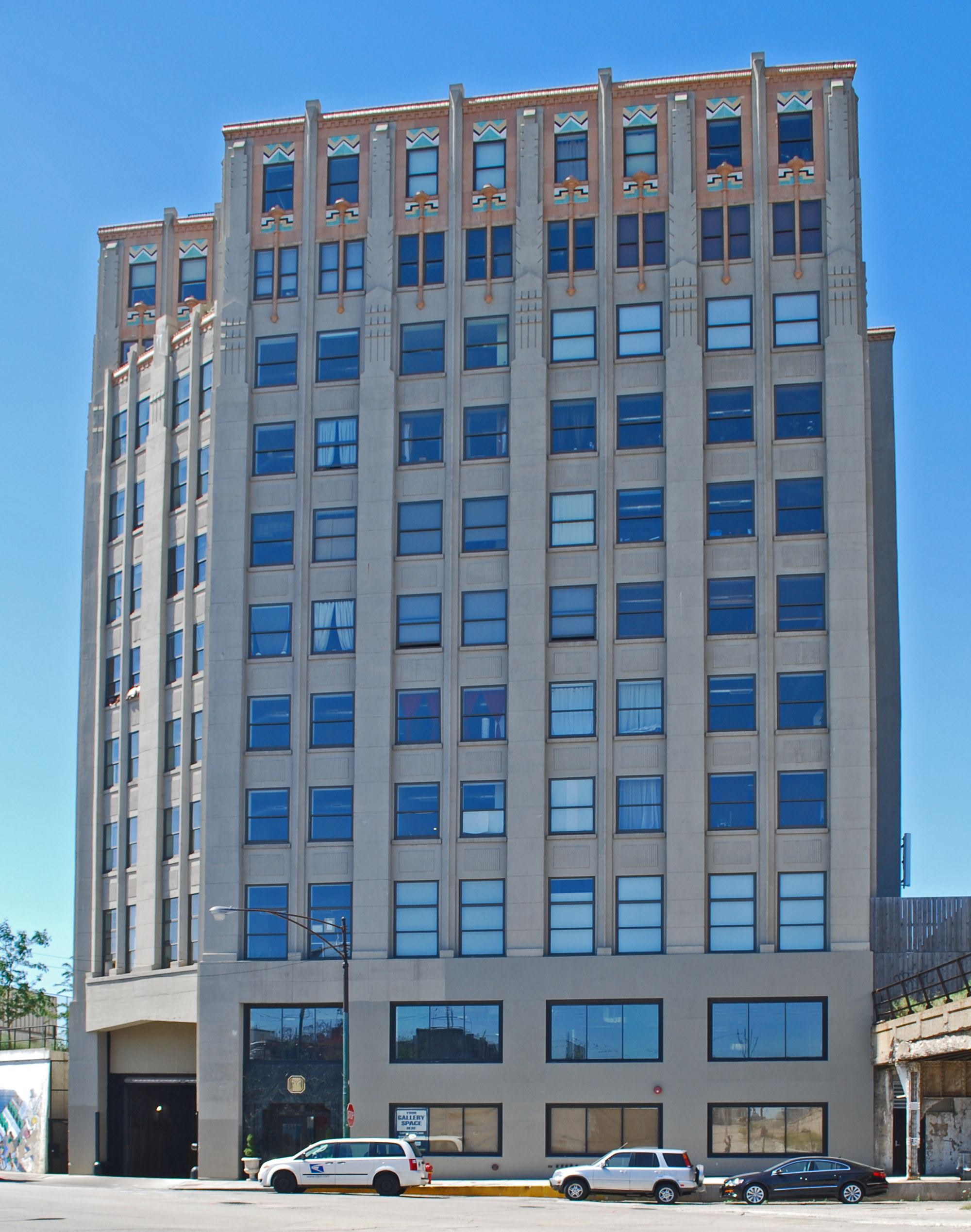
41°53′18″N 87°45′57″W / 41.88833°N 87.76583°WAustin 4 Automatic Electric Company Building 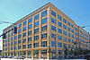
November 20, 2002 1001 W. Van Buren Street
41°52′42″N 87°39′8″W / 41.87833°N 87.65222°WNear West Side 5 Building at 900 West Lake Street 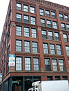
February 12, 1999 900 W. Lake Street
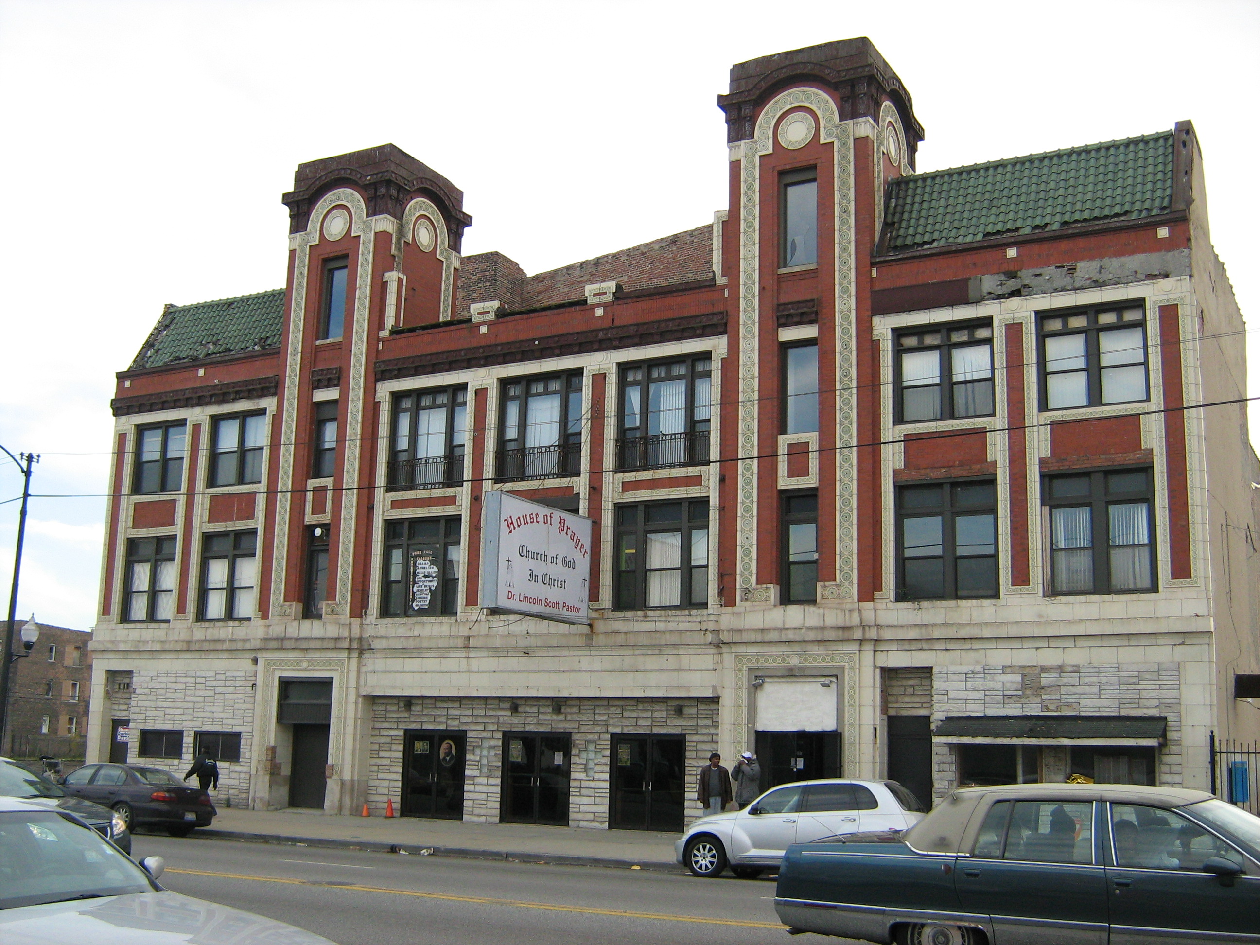
41°53′9″N 87°39′0″W / 41.88583°N 87.65°WNear West Side 6 Central Park Theater 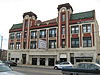
August 10, 2005 3531-39 W. Roosevelt Road
41°51′59″N 87°42′26″W / 41.86639°N 87.70722°WNorth Lawndale 7 Anton Cermak House February 4, 2011 2348 S. Millard Ave.
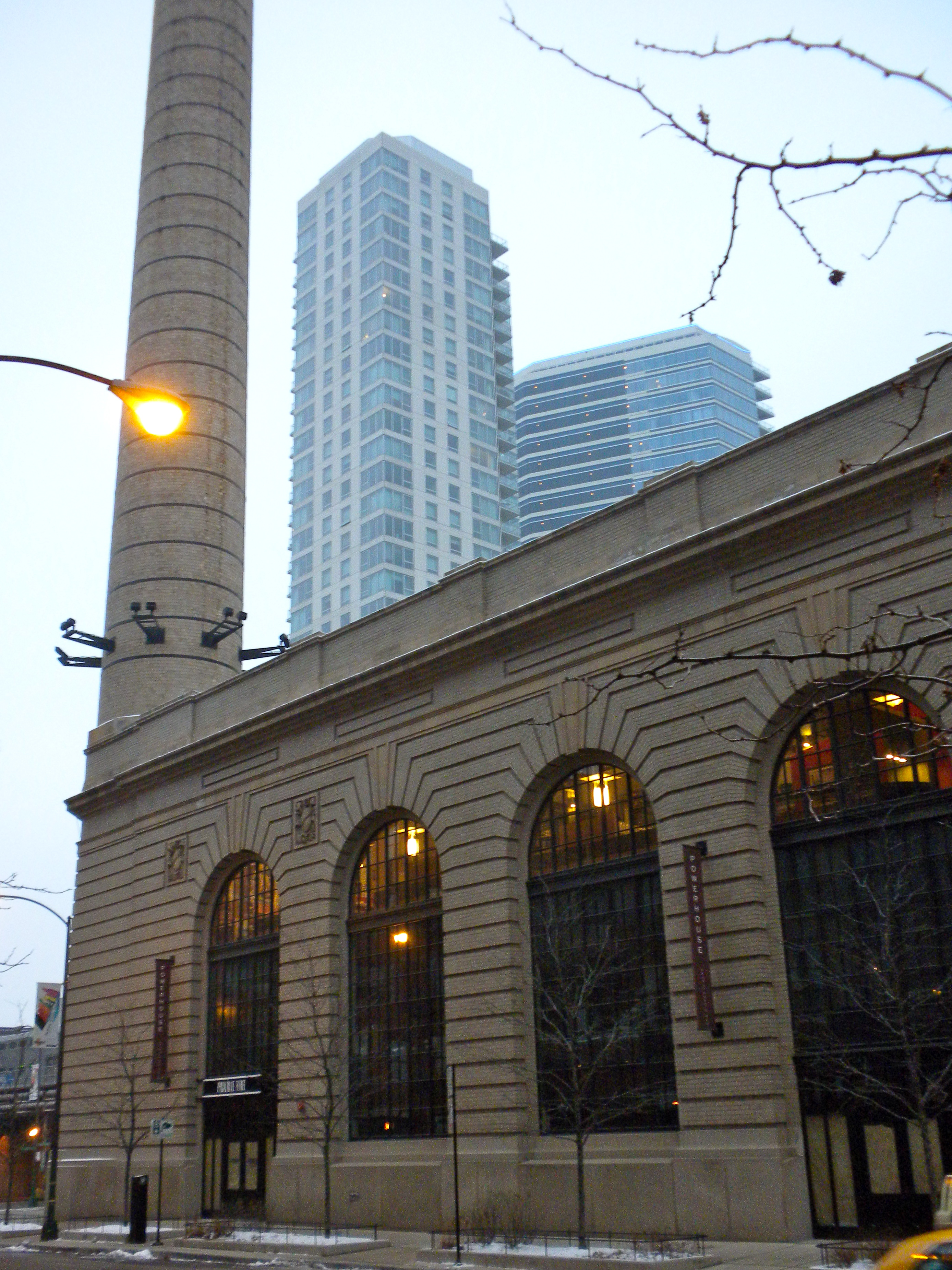
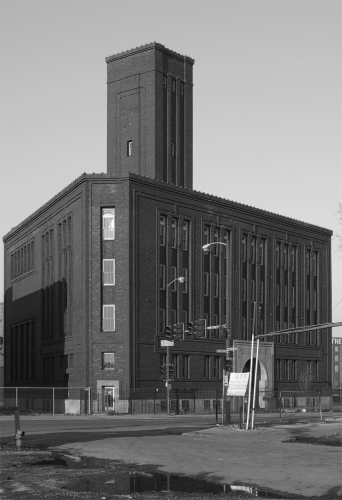
41°50′54″N 87°42′59″W / 41.84833°N 87.71639°WSouth Lawndale 8 Chicago and North Western Railway Power House 
October 12, 2004 211 N. Clinton Street
41°53′18″N 87°38′54″W / 41.88833°N 87.64833°WNear West Side 9 Chicago Telephone Company Kedzie Exchange 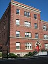
May 30, 2001 17 S. Homan Avenue
41°52′49″N 87°42′39″W / 41.88028°N 87.71083°WEast Garfield Park 10 Church of the Epiphany 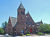
February 5, 1998 201 S. Ashland Avenue
41°52′43″N 87°39′59″W / 41.87861°N 87.66639°WNear West Side 11 Columbus Park 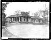
May 20, 1991 500 S. Central Avenue
41°52′28″N 87°46′10″W / 41.87444°N 87.76944°WAustin 12 Cook County Hospital Administration Building 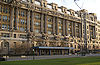
November 8, 2006 1835 W. Harrison Street
41°52′33″N 87°40′22″W / 41.87583°N 87.67278°WNear West Side 13 Creamery Package Manufacturing Company Building November 8, 2011 1245 W. Washington Blvd.
41°52′58″N 87°39′30″W / 41.88278°N 87.65833°WNear West Side 14 Dawson Brothers Plant 
February 14, 1985 517-519 N. Halsted Street
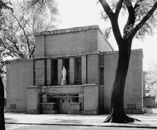
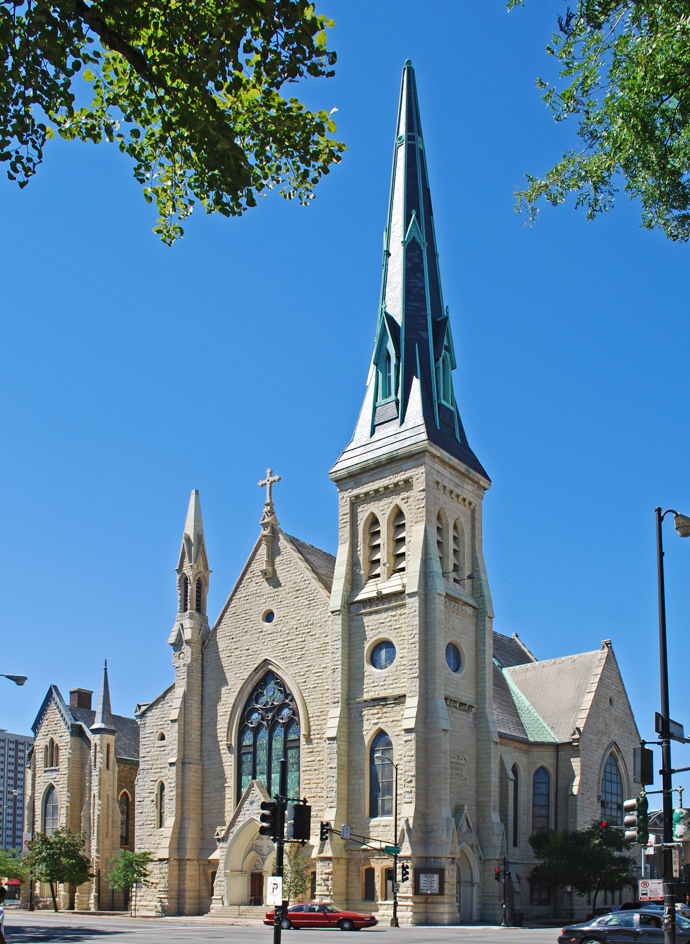
41°53′31″N 87°38′50″W / 41.89194°N 87.64722°WWest Town 15 East Village Historic District 
December 8, 2009 Bounded by W. Division Street, W. Chicago Avenue, N. Hermitage Avenue and N. Damen Avenue
41°53′58.68″N 87°40′25.61″W / 41.8996333°N 87.6737806°WWest Town 16 First Congregational Church of Austin 
November 17, 1977 5701 W. Midway Park
41°53′19″N 87°46′5″W / 41.88861°N 87.76806°WAustin 17 Jennie Foley Building 
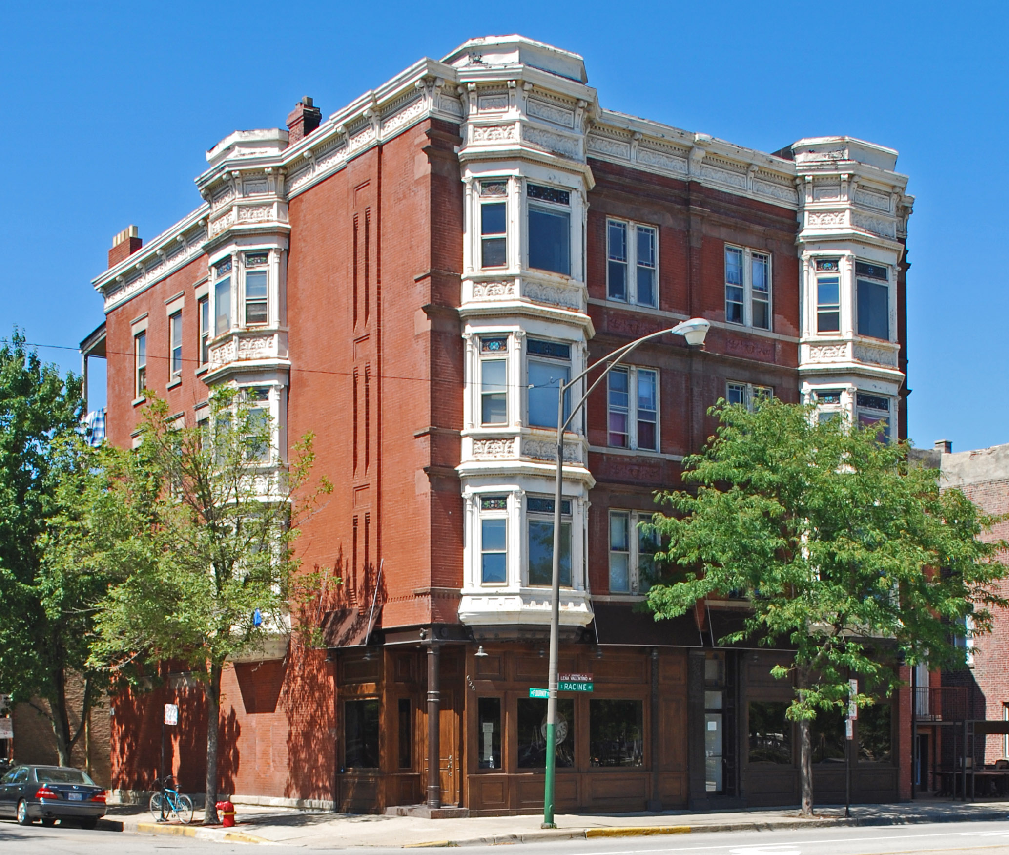
June 19, 1985 626-628 S. Racine Avenue
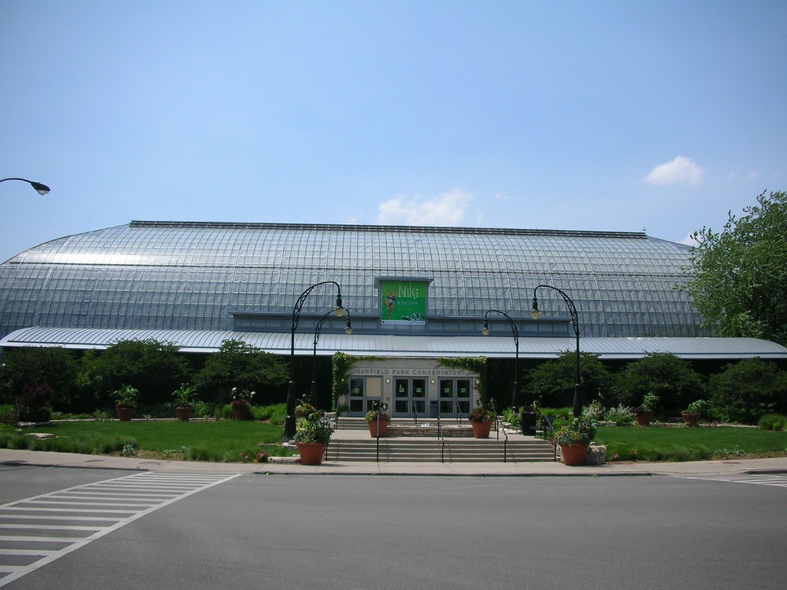
41°52′24″N 87°39′25″W / 41.87333°N 87.65694°WNear West Side 18 Garfield Park 
August 31, 1993 100 N. Central Park Avenue
41°53′11″N 87°42′58″W / 41.88639°N 87.71611°WEast Garfield Park 19 Abraham Groesbeck House 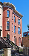
February 4, 1993 1304 W. Washington Boulevard
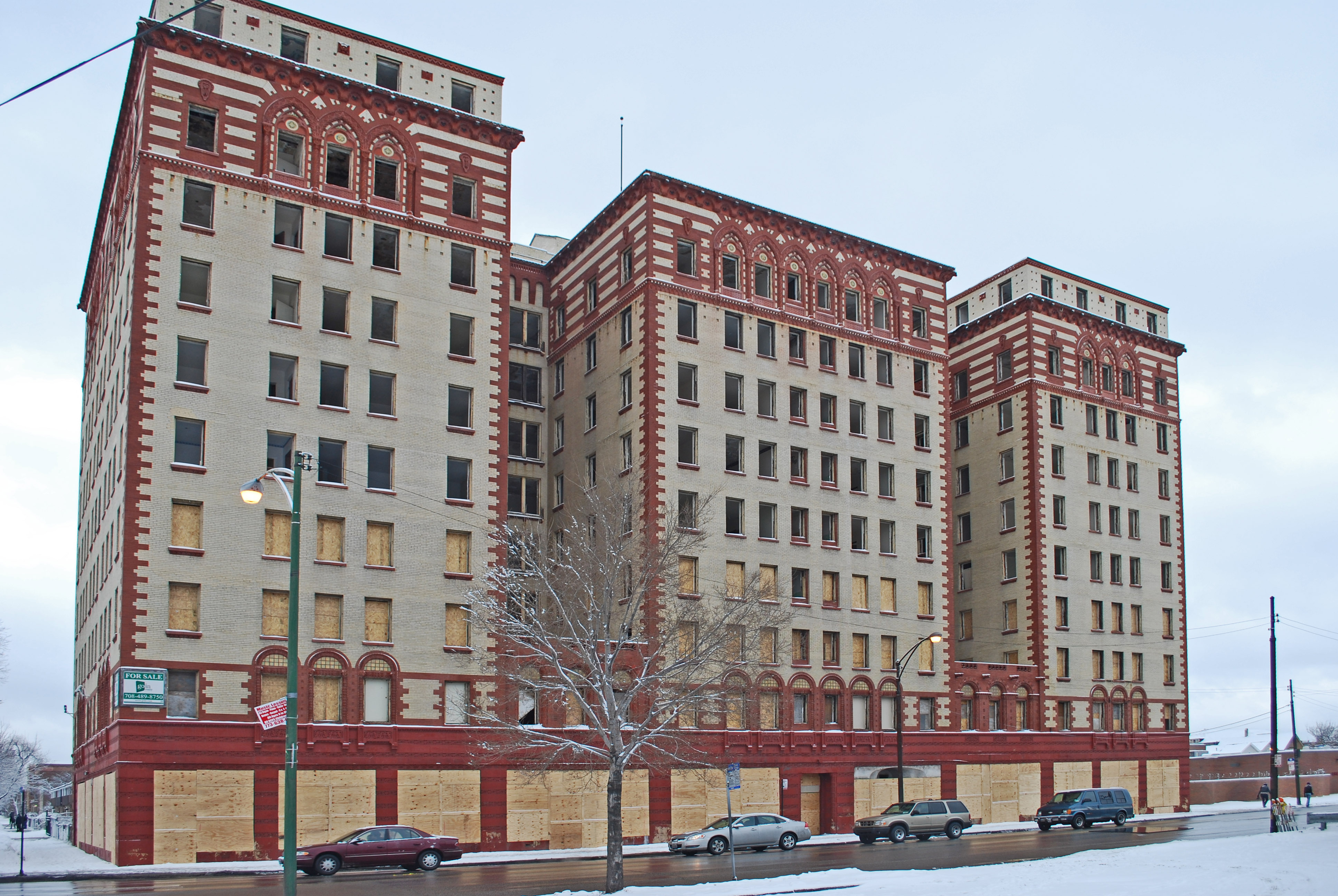
41°52′59″N 87°39′36″W / 41.88306°N 87.66°WNear West Side 20 Guyon Hotel 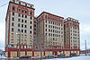
May 9, 1985 4000 W. Washington Boulevard
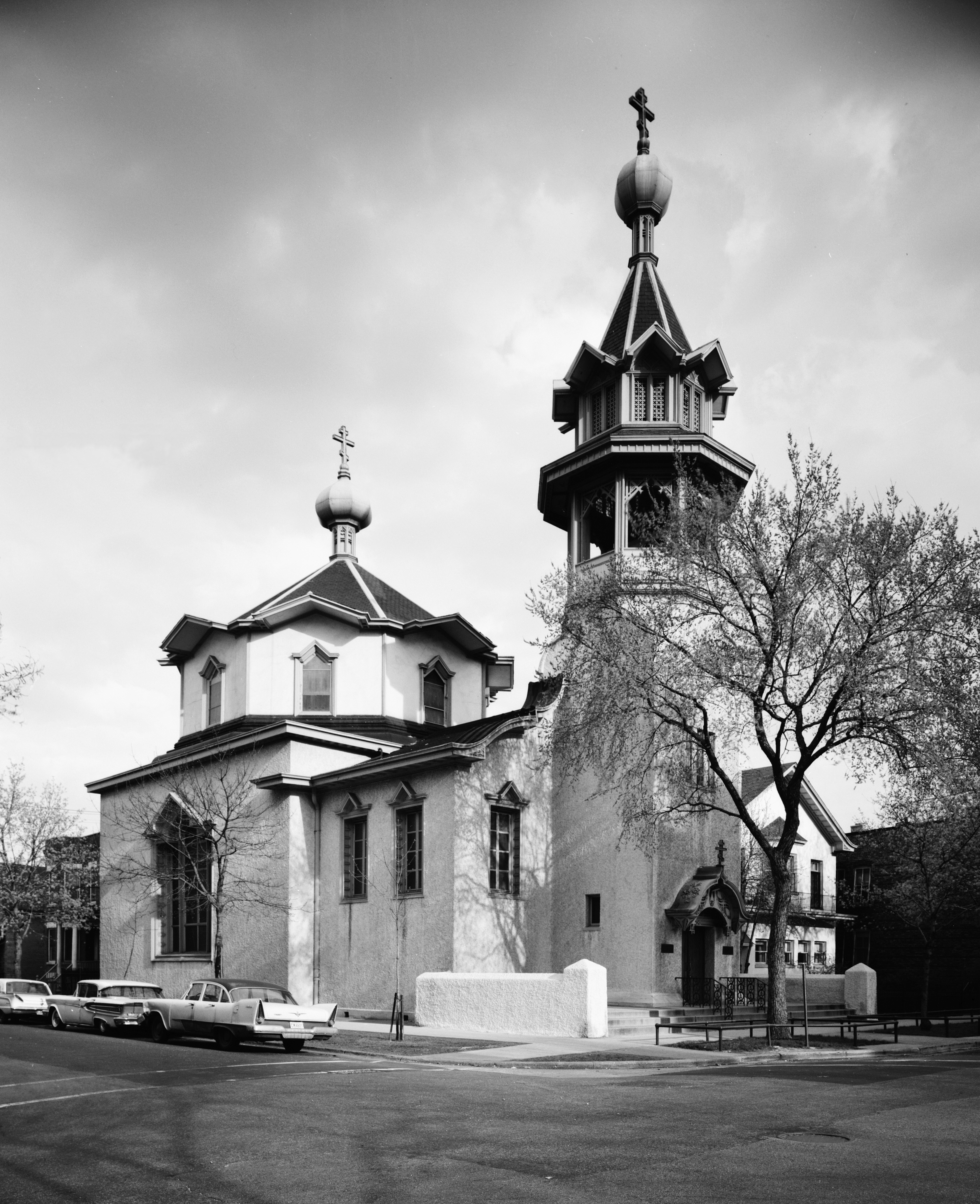
41°52′55″N 87°43′35″W / 41.88194°N 87.72639°WWest Garfield Park 21 Holy Trinity Russian Orthodox Cathedral and Rectory 
March 16, 1976 1117-1127 N. Leavitt Street
41°54′7″N 87°40′55″W / 41.90194°N 87.68194°WWest Town 22 Home Bank and Trust Company 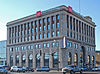
February 21, 2007 1200 N. Ashland Avenue
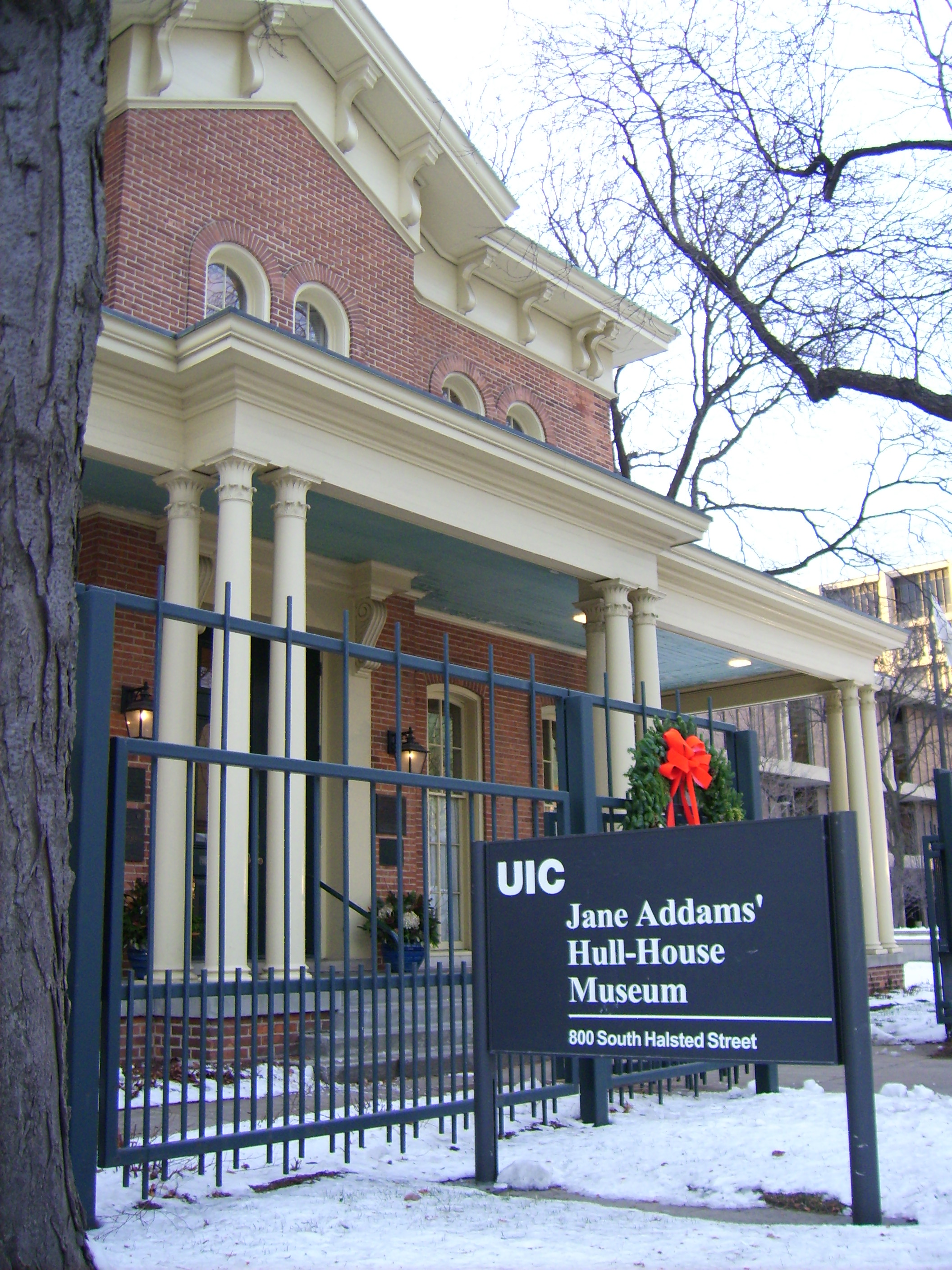
41°54′14″N 87°40′5″W / 41.90389°N 87.66806°WWest Town 23 Hull House 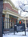
October 15, 1966 800 S. Halsted Street
41°52′17″N 87°38′49″W / 41.87139°N 87.64694°WNear West Side 24 Humboldt Park 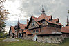
February 20, 1992 Roughly bounded by N. Sacramento Boulevard and W. Augusta Boulevard, and N. Kedzie Avenue, W. North Avenue and N. California Avenue and W. Division Street
41°54′12″N 87°42′10″W / 41.90333°N 87.70278°WWest Town 25 International Tailoring Company Building 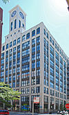
April 18, 2008 847 W. Jackson Boulevard
41°52′39.74″N 87°38′56.91″W / 41.8777056°N 87.6491417°WNear West Side 26 Jewish People's Institute 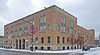
November 15, 1978 3500 W. Douglas Boulevard
41°51′47″N 87°42′47″W / 41.86306°N 87.71306°WNorth Lawndale 27 K-Town Historic District September 9, 2010 Bounded on the north by W. Cullerton Street; on the south by W. Cermak Road, on the west by S. Kostner Avenue, and on the east by S. Pulaski Road
41°51′11″N 87°43′47″W / 41.85306°N 87.72972°WSouth Lawndale 28 Patrick J. King House 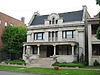
February 10, 1983 3234 W. Washington Boulevard
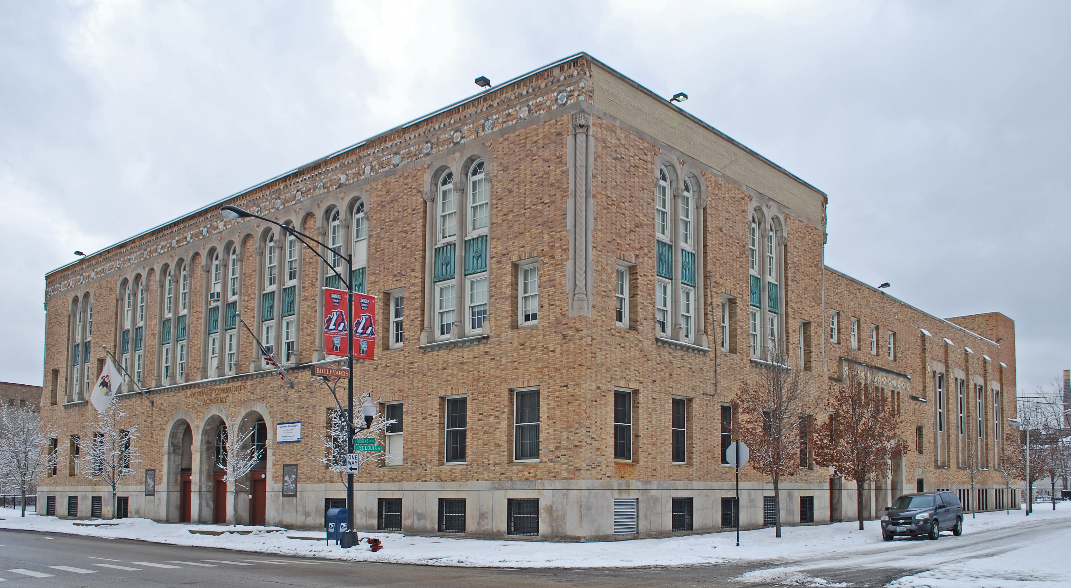
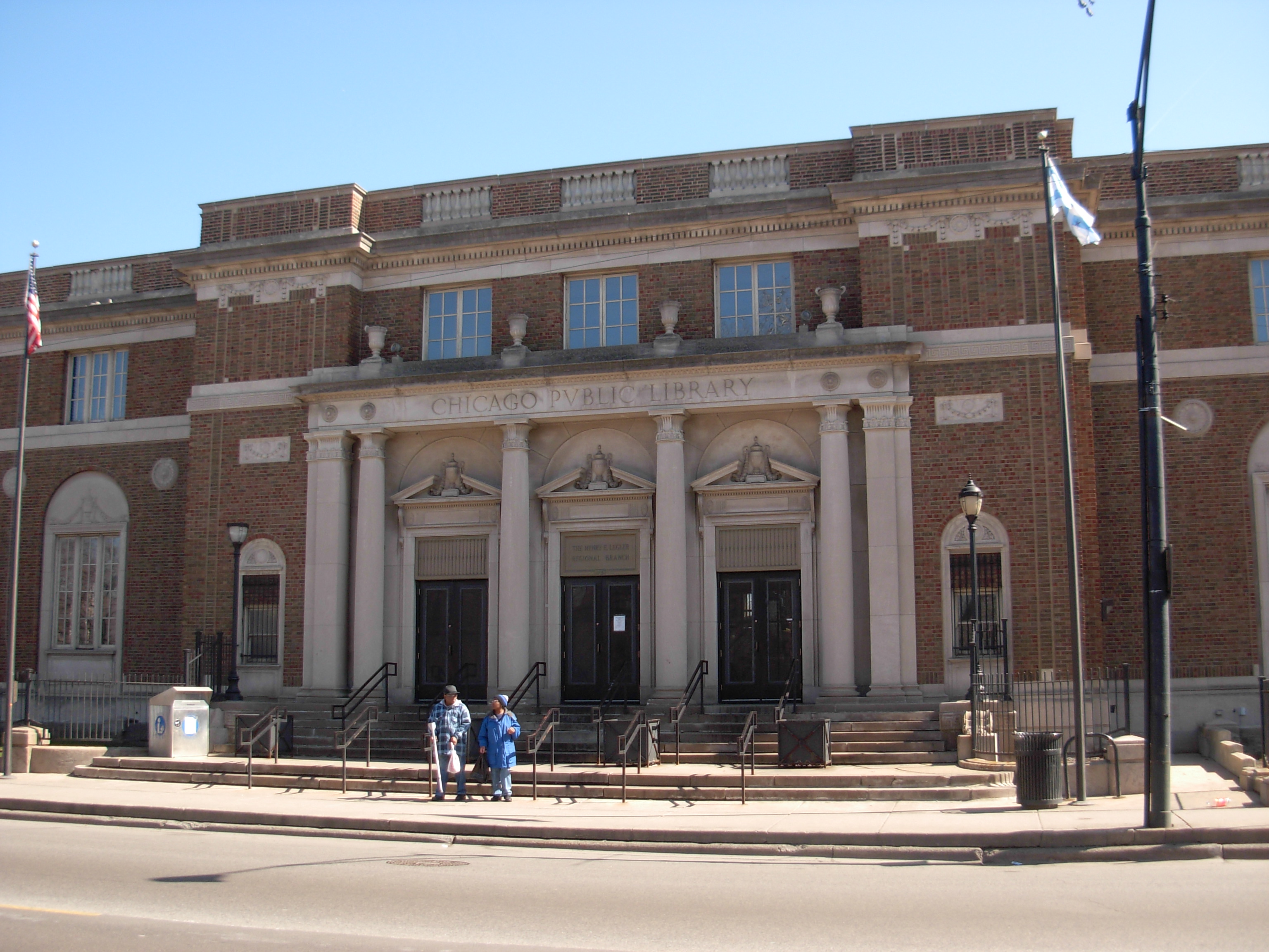
41°52′58″N 87°42′27″W / 41.88278°N 87.7075°WEast Garfield Park 29 Henry E. Legler Regional Branch of the Chicago Public Library 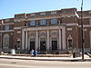
November 6, 1986 115 S. Pulaski Road
41°52′46″N 87°43′31″W / 41.87944°N 87.72528°WWest Garfield Park 30 Lindemann and Hoverson Company Showroom and Warehouse 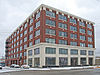
November 26, 2008 2620 W. Washington Boulevard
41°52′58.6″N 87°41′31.4″W / 41.882944°N 87.692056°WEast Garfield Park 31 Logan Square Boulevards Historic District 
November 20, 1985 W. Logan Boulevard, Logan Square, N. Kedzie Boulevard, Palmer Square, and N. Humboldt Boulevard
41°55′12″N 87°41′58″W / 41.92°N 87.69944°WLogan Square Three boulevards connected by two parks, on both the North Side and West Sides. 32 Lou Mitchell's Restaurant 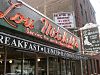
May 5, 2006 565 W. Jackson Boulevard
41°52′38″N 87°38′30″W / 41.87722°N 87.64167°WNear West Side 33 Midwest Athletic Club 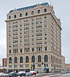
October 18, 1984 6 N. Hamlin Avenue
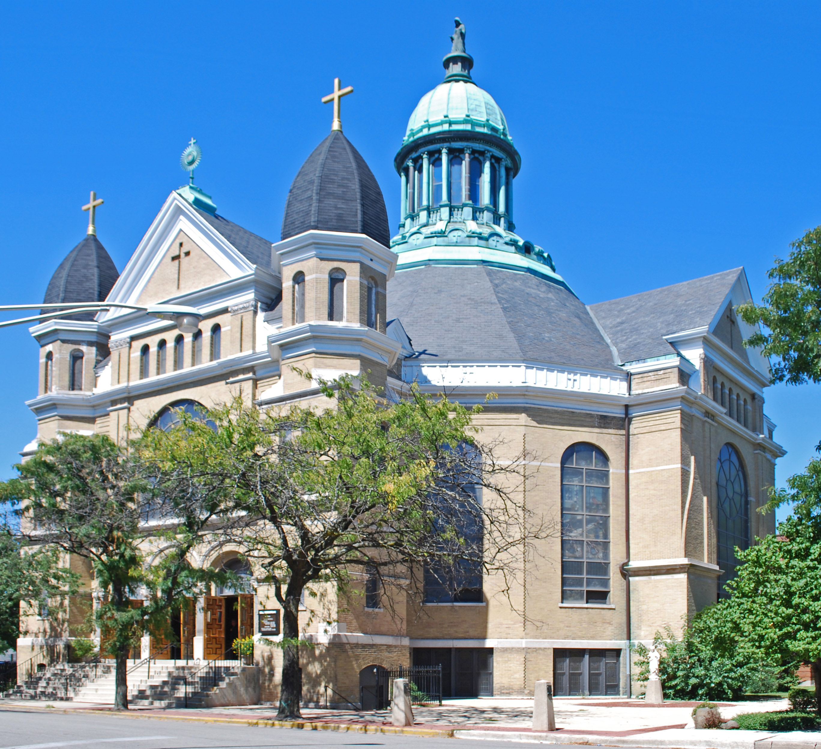
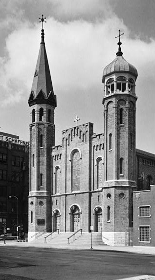
41°52′52″N 87°43′16″W / 41.88111°N 87.72111°WWest Garfield Park 34 Notre Dame de Chicago 
March 7, 1979 1338 W. Flournoy Street
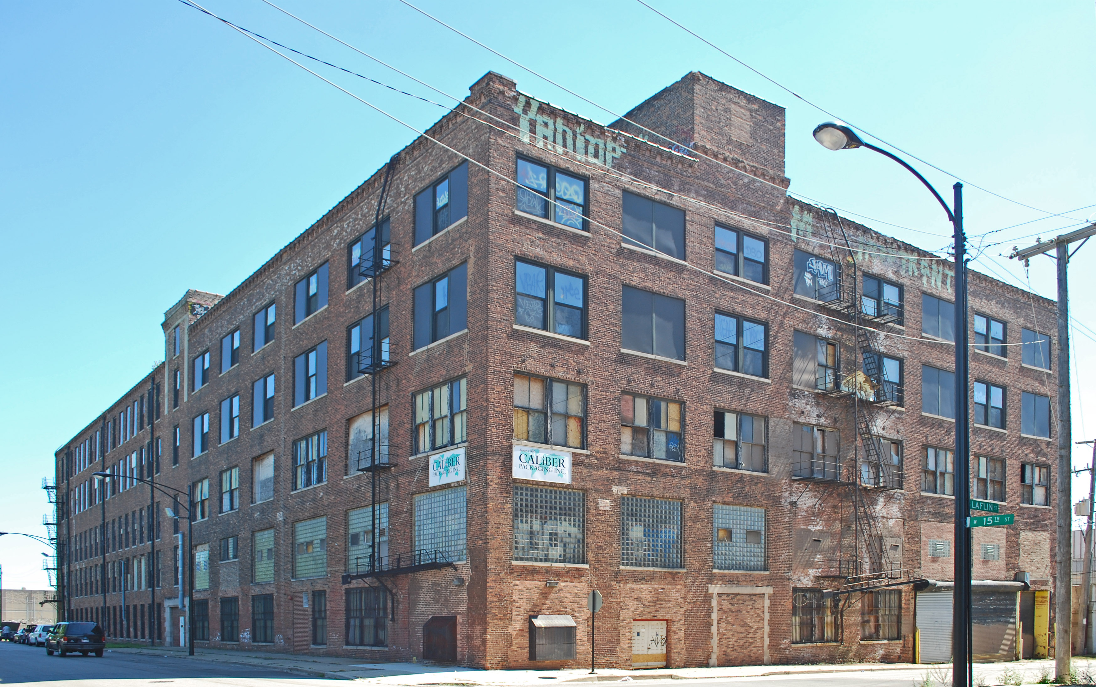
41°52′24″N 87°39′39″W / 41.87333°N 87.66083°WNear West Side 35 Otis Elevator Company Factory Building 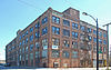
November 26, 2008 1435 W. 15th Street and 1501 S. Laflin Street
41°51′41.2″N 87°39′44.2″W / 41.861444°N 87.662278°WNear West Side 36 Pilsen Historic District 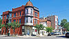
February 1, 2006 Roughly bounded by W. 16th Street, W. Cermak Road, S. Halsted Street and S. Western Avenue
41°51′14″N 87°40′13″W / 41.85389°N 87.67028°WLower West Side 37 Produce Terminal Cold Storage Company Building 
June 22, 2003 1550 S. Blue Island Avenue
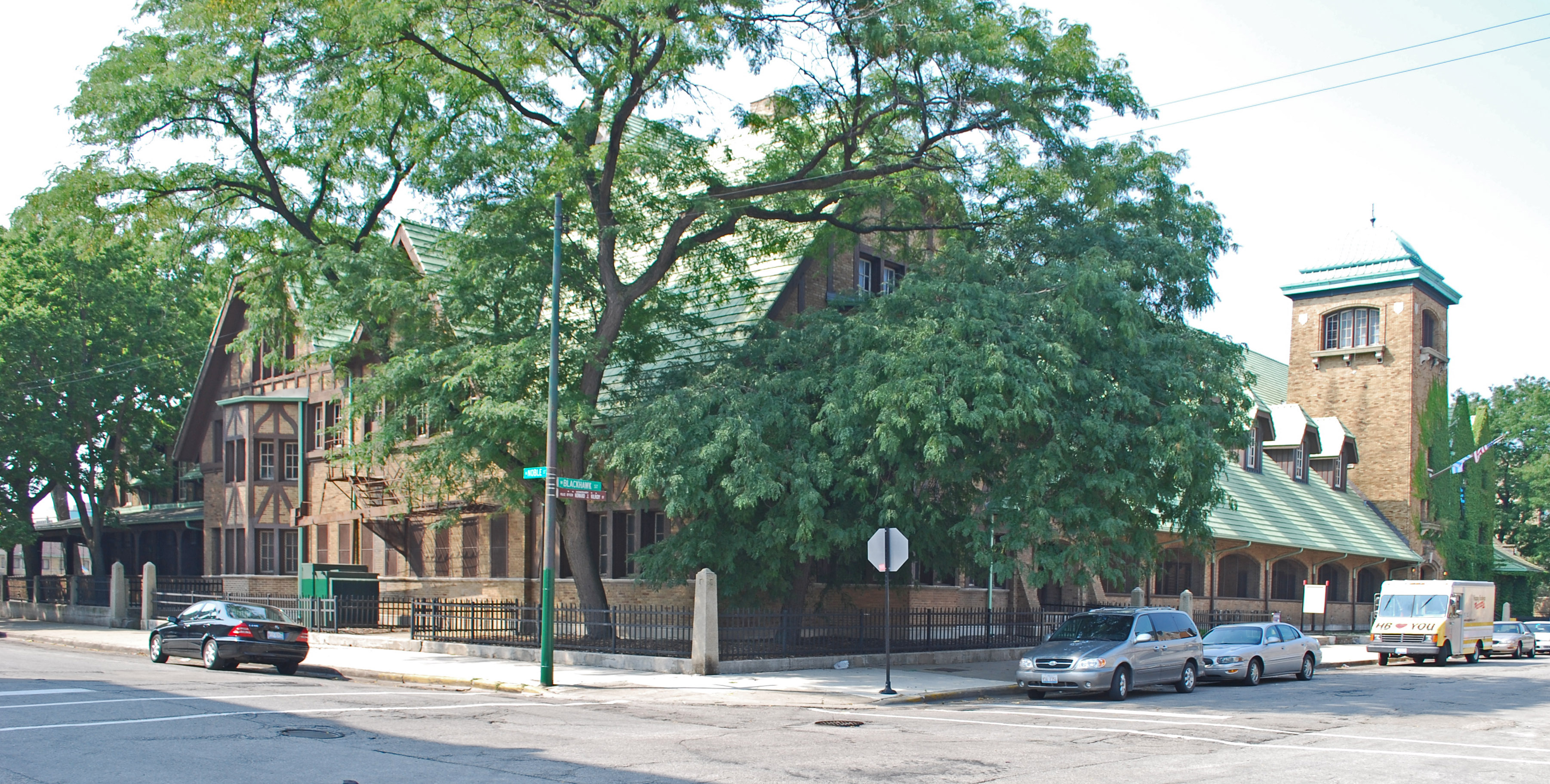
41°51′42″N 87°39′28″W / 41.86167°N 87.65778°WNear West Side 38 Pulaski Park and Fieldhouse 
August 13, 1981 1419 W. Blackhawk Street
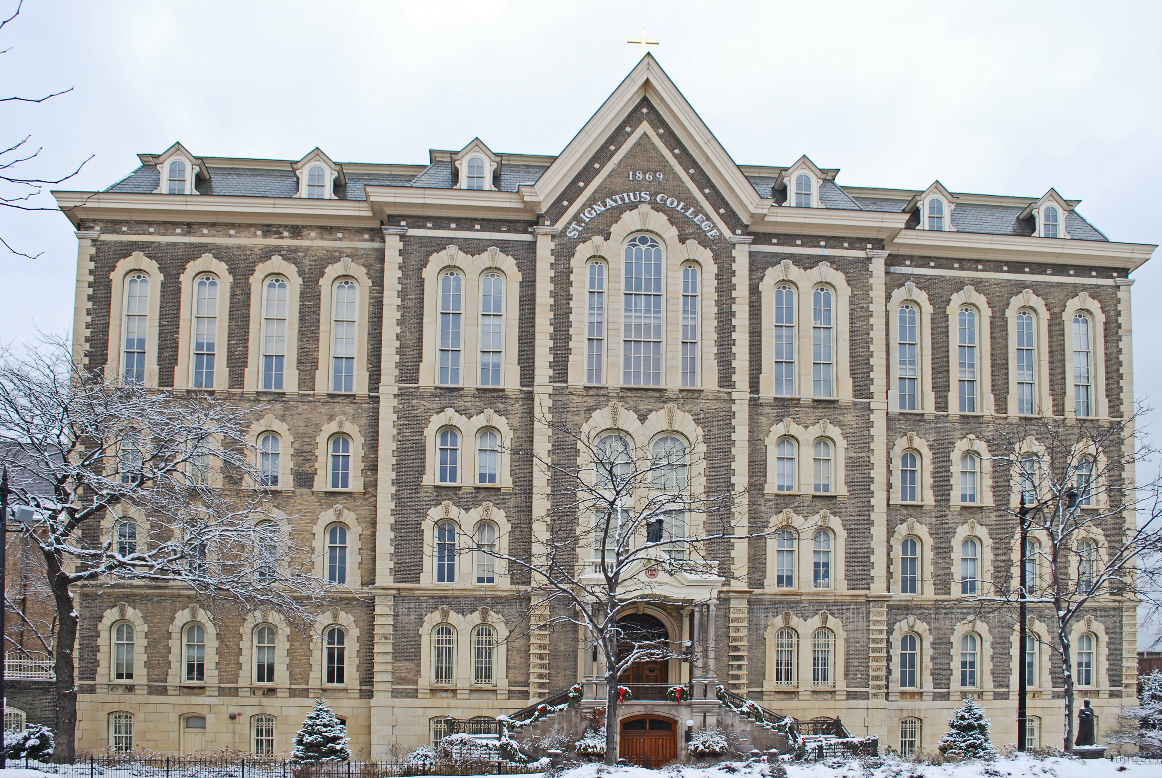
41°54′21″N 87°39′47″W / 41.90583°N 87.66306°WWest Town 39 St. Ignatius College Prep 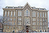
November 17, 1977 1076 W. Roosevelt Road
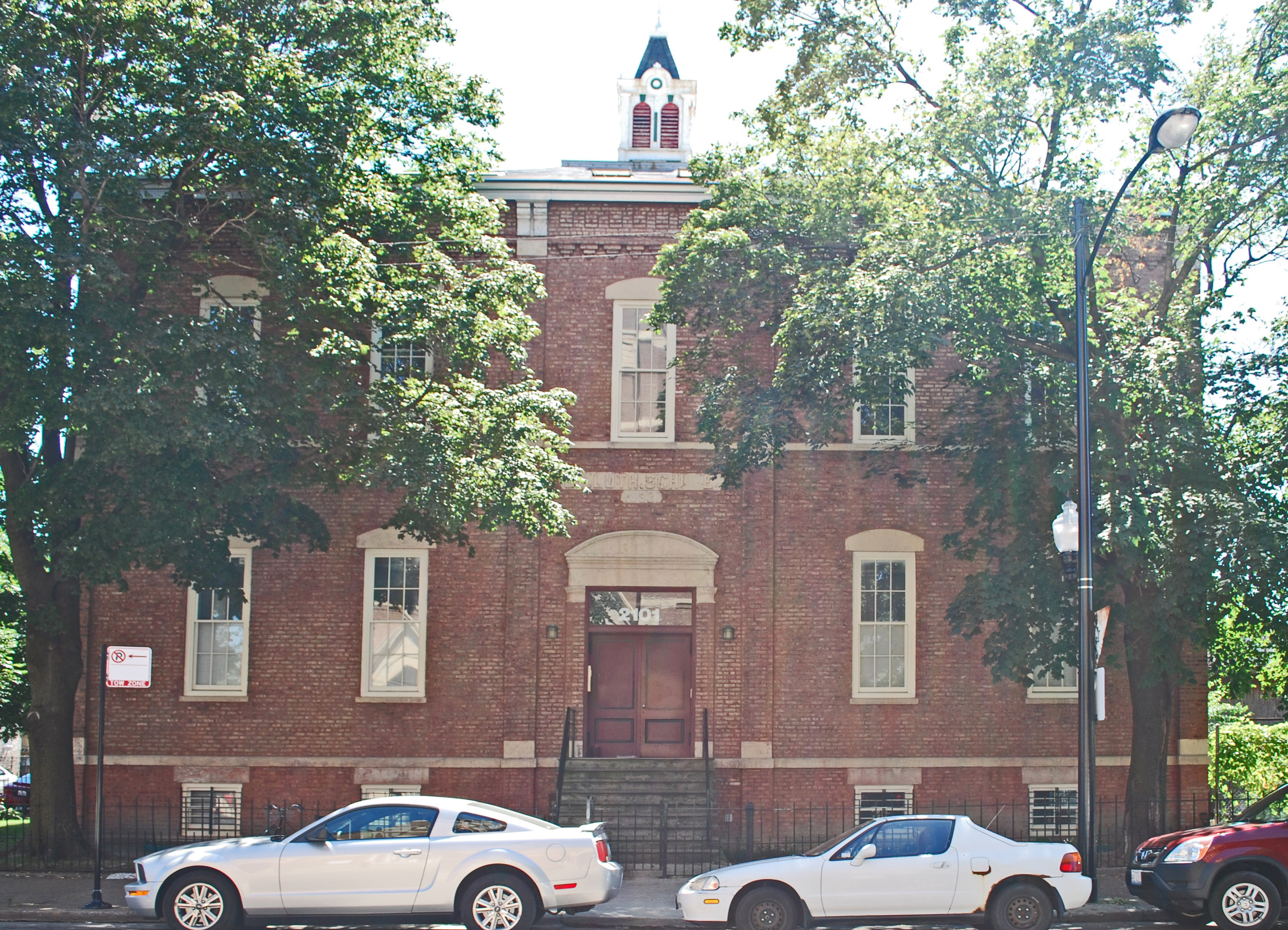
41°52′3″N 87°39′6″W / 41.8675°N 87.65167°WNear West Side 40 St. Matthew Evangelical Lutheran School 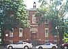
January 27, 2000 2101-2107 W. 21st Street
41°51′13″N 87°40′43″W / 41.85361°N 87.67861°WLower West Side 41 St. Patrick's Roman Catholic Church 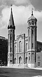
July 15, 1977 718 W. Adams Street
41°52′45″N 87°38′40″W / 41.87917°N 87.64444°WNear West Side 42 Schoenhofen Brewery Historic District 
December 27, 1978 Roughly bounded by W. 16th Street, W. 18th Street, S. Canal Street, and S. Clinton Street
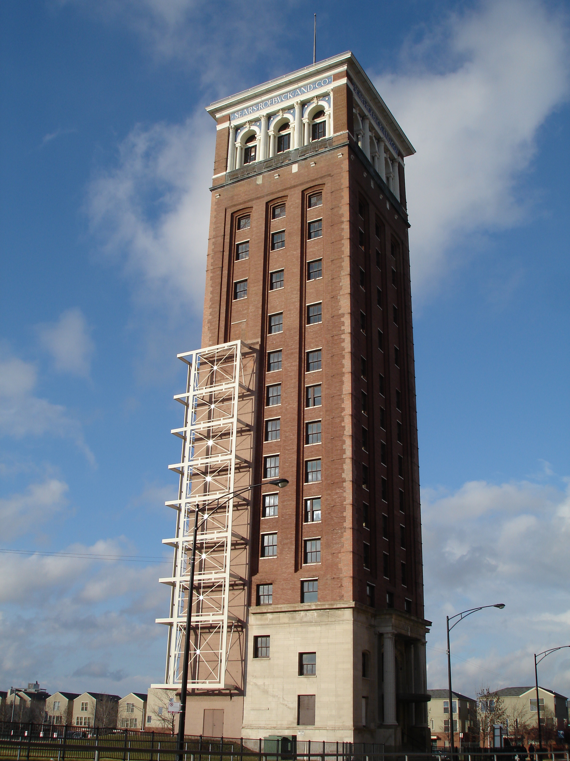
41°51′31″N 87°38′22″W / 41.85861°N 87.63944°WLower West Side 43 Sears, Roebuck and Company Complex 
June 2, 1978 925 S. Homan Avenue
41°52′10″N 87°42′42″W / 41.86944°N 87.71167°WEast Garfield Park 44 Shedd Park Fieldhouse December 30, 1974 3660 W. 23rd Street
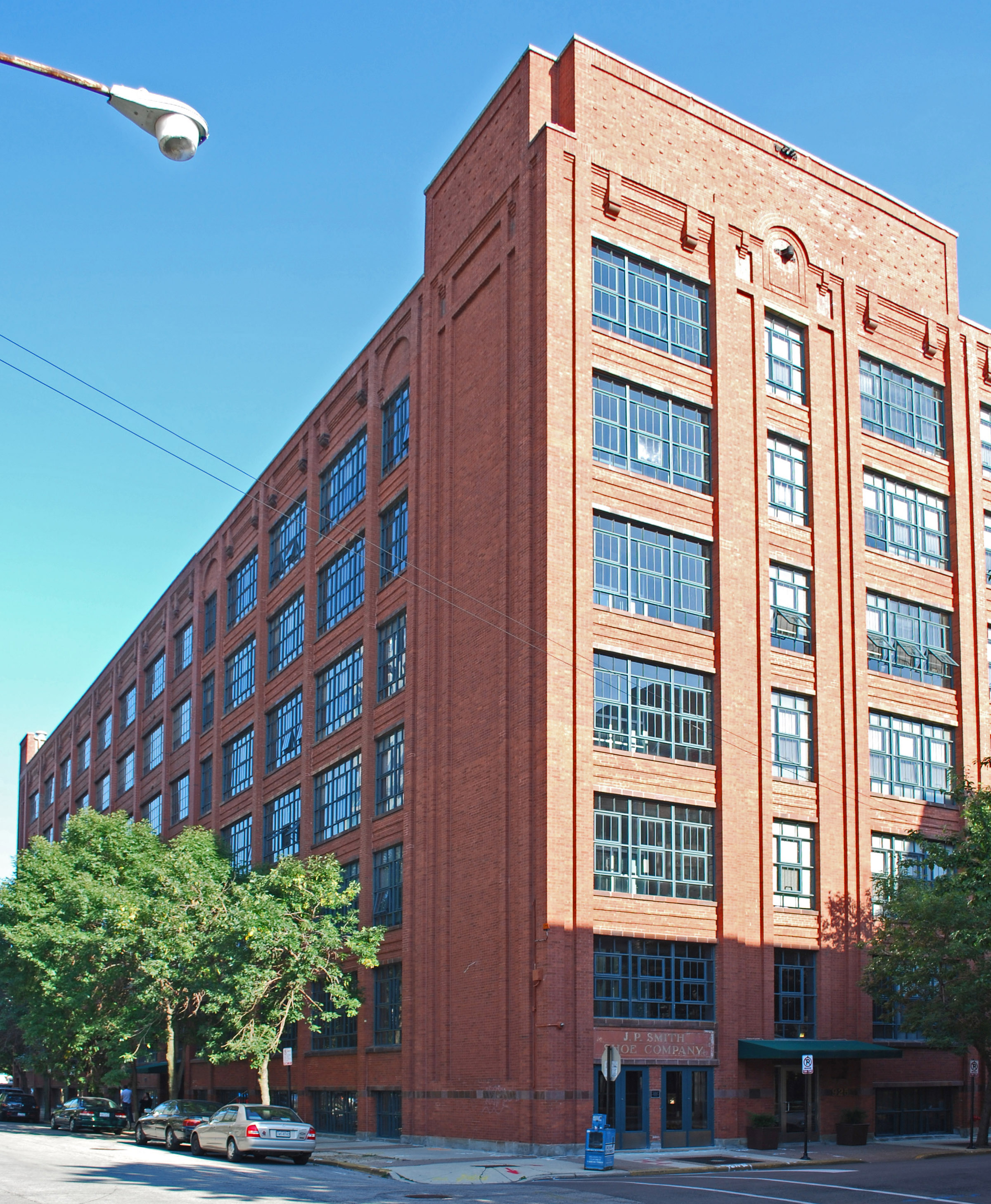
41°51′1″N 87°43′1″W / 41.85028°N 87.71694°WSouth Lawndale 45 J. P. Smith Shoe Company Plant 
November 14, 1985 671-699 N. Sangamon Avenue and 901-921 W. Huron Street
41°53′41″N 87°39′3″W / 41.89472°N 87.65083°WWest Town 46 South Water Market 
August 20, 2004 Bounded by W. 14th Place, the 16th Street rail embankment, S. Racine Avenue, and S. Morgan Street
41°51′42″N 87°39′15″W / 41.86167°N 87.65417°WNear West Side 47 Story-Camp Rowhouses 
May 8, 1980 1526-1528 W. Monroe Street
41°52′48″N 87°39′57″W / 41.88°N 87.66583°WNear West Side 48 Tri-Taylor Historic District 
March 3, 1983 Roughly bounded by S. Claremont Avenue, W. Harrison Street, S. Oakley Avenue, W. Polk Street, W. Ogden Avenue, and W. Roosevelt Road; also roughly bounded on the north by Oakley, Harrison, and Claremont Streets, and on the southeast by Taylor and Oakley Streets
41°52′13″N 87°41′0″W / 41.87028°N 87.683333°WNear West Side Second set of boundaries represents a boundary increase of February 3, 1988 49 Union Park Congregational Church and Carpenter Chapel 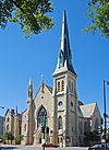
May 31, 2006 1613 W. Washington Boulevard
41°53′6″N 87°40′3″W / 41.885°N 87.6675°WNear West Side Now known as First Baptist Congregational Church; built in 1871; severely damaged in the February 2, 2011 blizzard[5] 50 Union Park Hotel 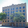
June 7, 2010 1519-1521 W Warren Blvd.
41°52′55.62″N 87°39′58.02″W / 41.8821167°N 87.6661167°WNear West Side 51 United States Post Office-Chicago 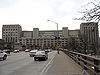
August 16, 2001 433 W. Van Buren Street
41°52′34″N 87°38′19″W / 41.87611°N 87.63861°WNear West Side 52 Seth Warner House June 3, 1982 631 N. Central Avenue
41°53′31″N 87°45′54″W / 41.89194°N 87.765°WAustin 53 Jackson Boulevard Historic District 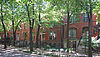
May 19, 1978 Roughly bounded by S. Laflin Avenue, S. Ashland Avenue, W. Adams Street, and W. Van Buren Street; also 1513 W. Adams Street
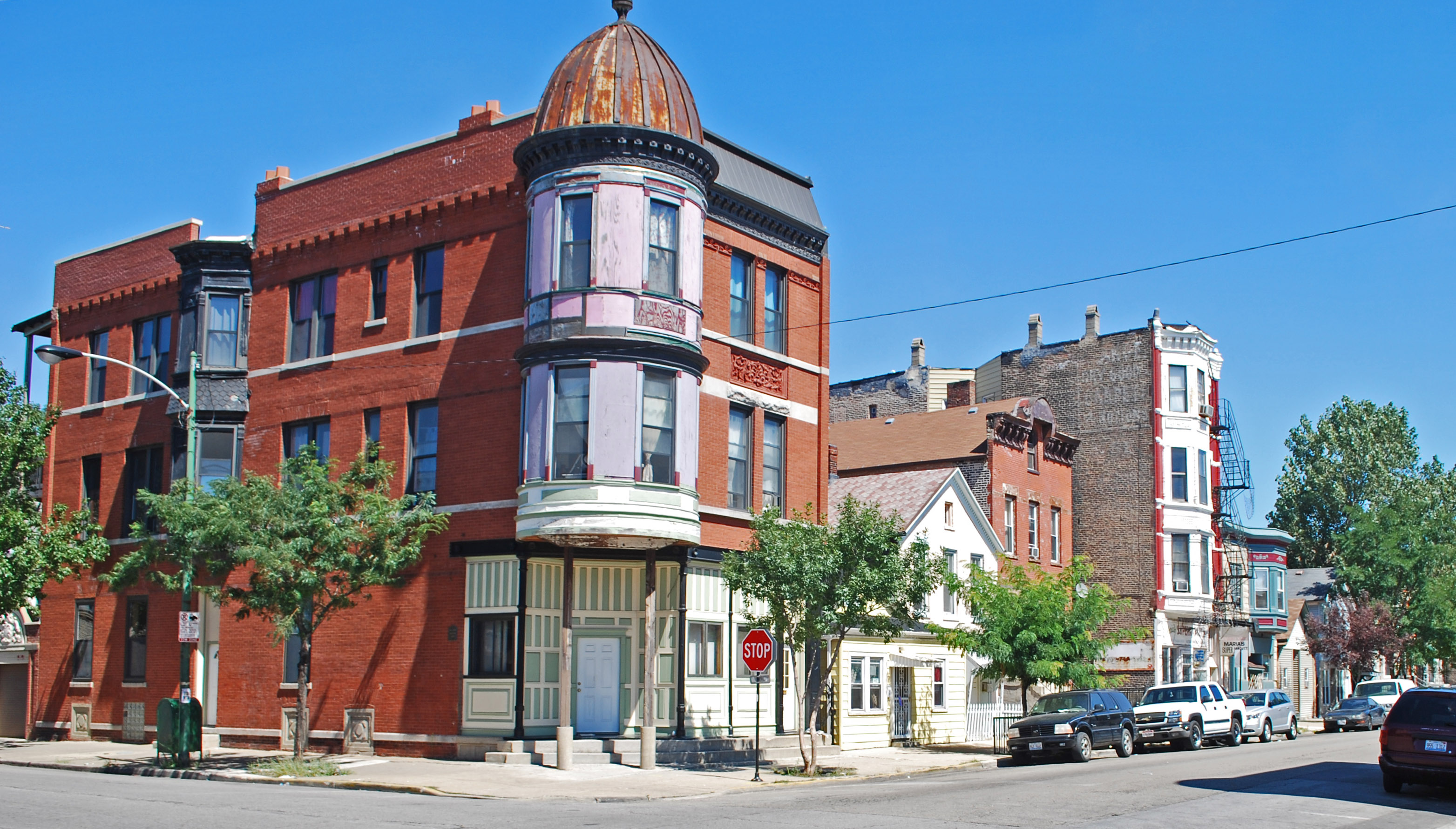
41°52′39″N 87°39′55″W / 41.8775°N 87.66528°WNear West Side Second set of boundaries represents a boundary increase of October 19, 1989 54 Wicker Park Historic District 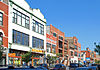
June 20, 1979 Roughly bounded by N. Wood, W. Crystal and N. Caton Streets, N. Claremont and W. North Avenues
41°54′26″N 87°40′20″W / 41.90722°N 87.67222°WWest Town Key
NRHP-listed ∞ NRHP-listed Historic district * National Historic Landmark and NRHP-listed ∞ National Historic Landmark and NRHP-listed Historic district See also
- List of Chicago Landmarks
- List of Registered Historic Places in Illinois
- List of National Historic Landmarks in Illinois
References
- ^ "National Register of Historic Places: Weekly List Actions". National Park Service, United States Department of the Interior. Retrieved on November 10, 2011.
- ^ Numbers represent an alphabetical ordering by first significant word. Various colorings, defined here, differentiate the Historic Districts, National Historic Landmarks, and National Historic Landmark Districts from other NRHP buildings, structures, sites or objects.
- ^ a b c "National Register Information System". National Register of Historic Places. National Park Service. 2008-04-24. http://nrhp.focus.nps.gov/natreg/docs/All_Data.html.
- ^ "History of Maxwell Street Station". University of Illinois at Chicago Police Department. University of Illinois. 2008-06-07. http://www.uic.edu/depts/police/History%20of%20Maxwell%20Street%20Station.htm.
- ^ Rhodes, Dawn. "Blizzard damage to historic church put at $1M". Chicago Tribune. http://www.chicagotribune.com/news/local/breaking/chibrknews-blizzard-damage-to-historic-church-put-at-1m-20110216,0,774996.story. Retrieved February 17, 2011.
External links
- Chicago Listing on the National Register of Historic Places, February 10, 2009, City of Chicago, Richard M. Daley, Mayor.
- Cook County, Illinois listings at NRHP.COM, a private site repackaging government NRHP data
- National Register Information System[dead link], National Park Service.
U.S. National Register of Historic Places Topics Lists by states Alabama • Alaska • Arizona • Arkansas • California • Colorado • Connecticut • Delaware • Florida • Georgia • Hawaii • Idaho • Illinois • Indiana • Iowa • Kansas • Kentucky • Louisiana • Maine • Maryland • Massachusetts • Michigan • Minnesota • Mississippi • Missouri • Montana • Nebraska • Nevada • New Hampshire • New Jersey • New Mexico • New York • North Carolina • North Dakota • Ohio • Oklahoma • Oregon • Pennsylvania • Rhode Island • South Carolina • South Dakota • Tennessee • Texas • Utah • Vermont • Virginia • Washington • West Virginia • Wisconsin • WyomingLists by territories Lists by associated states Other City of Chicago Architecture · Beaches · Climate · Colleges and Universities · Community areas · Culture · Demographics · Economy · Flag · Freeways · Geography · Government · History · Landmarks · Literature · Media · Music · Neighborhoods · Parks · Public schools · Skyscrapers · Sports · Theatre · Transportation
 Category ·
  PortalCategories:
- NRHP articles with dead external links
- National Register of Historic Places in Chicago, Illinois
- Chicago-related lists
-


Wikimedia Foundation. 2010.