- Maryland Route 424
-
Maryland Route 424
Davidsonville Road 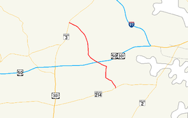
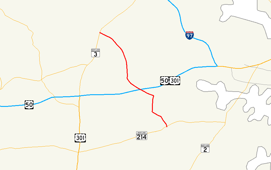
Maryland Route 424 highlighted in redRoute information Maintained by MDSHA Length: 8.24 mi[1] (13.26 km) Major junctions South end:  MD 214 in Davidsonville

 I-595 / US 50 / US 301 near Davidsonville
 MD 450 in Crofton
North end:  MD 3 in Crofton
Highway system Maryland highway system
Interstate • US • State • Minor • Former • Turnpikes←  MD 423
MD 425  →
→Maryland Route 424 (MD 424) is a state highway in the U.S. state of Maryland. Known as Davidsonville Road, the state highway runs 8.24 mi (13.26 km) from MD 214 in Davidsonville north to MD 3 in Crofton.
Contents
Route description
MD 424 begins at an intersection with MD 214 (Central Avenue) in Davidsonville. The roadway continues south as Birdsville Road. The state highway heads north as a two-lane road, passing the historic home Mount Airy and a mix of residential subdivisions and farmland. After crossing Governors Bridge Road, MD 424 expands to a four-lane divided highway around its interchange with U.S. Route 50 and US 301 (John Hanson Highway). The state highway reduces to two lanes north of the interchange and through to the intersection with MD 450 (Defense Highway) on the southern edge of Crofton.[1][2] MD 424 veers to the northwest and passes through a mix of residential subdivisions and parks until the highway reaches its northern terminus at MD 3 (Robert Crain Highway). The roadway continues west as Conway Road.[2]
Junction list
The entire route is in Anne Arundel County.
Location Mile
[1]Destinations Notes Davidsonville 0.00 Birdsville Road south – Harwood Southern terminus MD 214 (Central Avenue) – Largo, Edgewater3.32 I-595 / US 50 (John Hanson Highway) / US 301 – Annapolis, Washington, RichmondI-595 is unsigned Crofton 5.85 MD 450 (Defense Highway) – Bowie, Annapolis8.24 MD 3 (Robert Crain Highway) – Bowie, BaltimoreNorthern terminus Conway Road west – Piney Orchard References
- ^ a b c "Highway Location Reference: Anne Arundel County" (PDF). Maryland State Highway Administration. 2008. http://apps.roads.maryland.gov/KeepingCurrent/performTrafficStudies/dataAndStats/hwyLocationRef/2008_hlr_all/co02.pdf. Retrieved 2010-05-20.
- ^ a b Google, Inc. Google Maps – Maryland Route 424 (Map). Cartography by Google, Inc. http://maps.google.com/maps?f=d&source=s_d&saddr=MD-424+N%2FDavidsonville+Rd&daddr=Davidsonville+Rd&hl=en&geocode=FbzqUQIdRr5u-w%3BFRpjUwIdlLdt-w&mra=ls&sll=38.929636,-76.629553&sspn=0.030514,0.077162&ie=UTF8&t=h&z=12. Retrieved 2010-05-20.
External links
Categories:- State highways in Maryland
- Roads in Anne Arundel County, Maryland

Wikimedia Foundation. 2010.