- National Register of Historic Places listings in Brookhaven (town), New York
-
This is a list of all National Register of Historic Places listings in the Town of Brookhaven, New York. The locations of National Register properties for which the latitude and longitude coordinates are included below, may be seen in a Google map.[1]
Listings
[2] Landmark name Image Date listed Location City or Town Summary 1 Bald Hill Schoolhouse 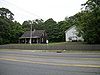
July 21, 1988 Horseblock Road
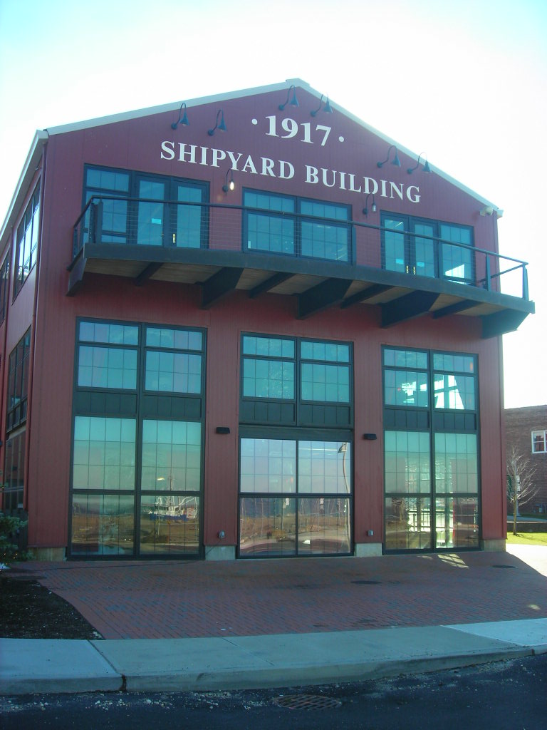
40°50′6″N 73°2′34″W / 40.835°N 73.04278°WFarmingville 2 Bayles Shipyard 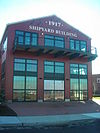
June 2, 2000 101 East Broadway
40°56′54″N 73°4′5″W / 40.94833°N 73.06806°WPort Jefferson 3 Bellport Academy July 4, 1980 24 Academy Lane
40°45′14.43″N 72°56′16.19″W / 40.7540083°N 72.9378306°WBellport 4 Bellport Village Historic District 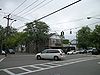
July 4, 1980 Roughly bounded by South Country Road, Bellport Lane, Brown's Lane, Brewster Lane, and Bell Street
40°45′29.87″N 72°56′12.46″W / 40.7582972°N 72.9367944°WBellport 5 Brewster House February 28, 2008 Jct. of NY 25A & Runs Road
40°56′43″N 73°6′11″W / 40.94528°N 73.10306°WEast Setauket 6 Caroline Church and Cemetery 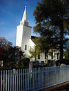
September 9, 1991 Jct. of Dyke and Bates Roads
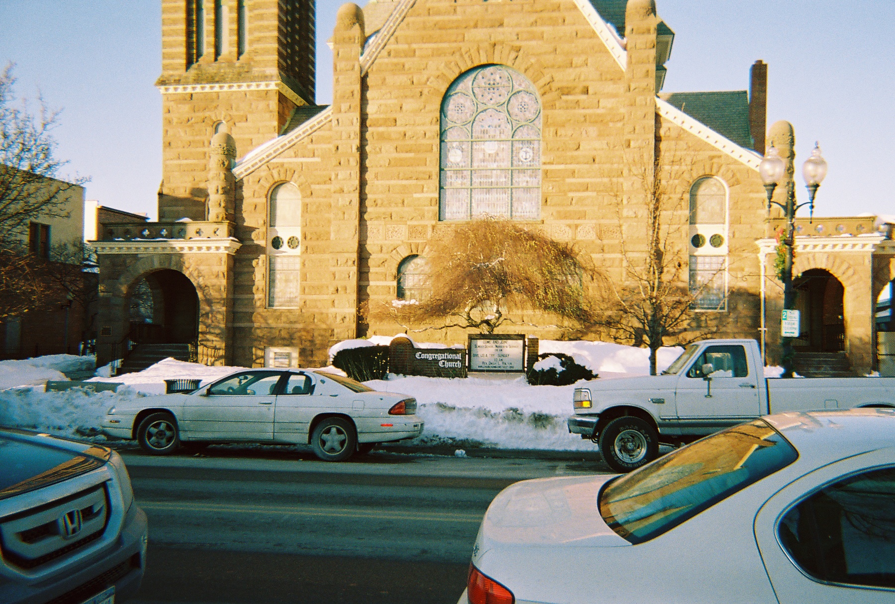
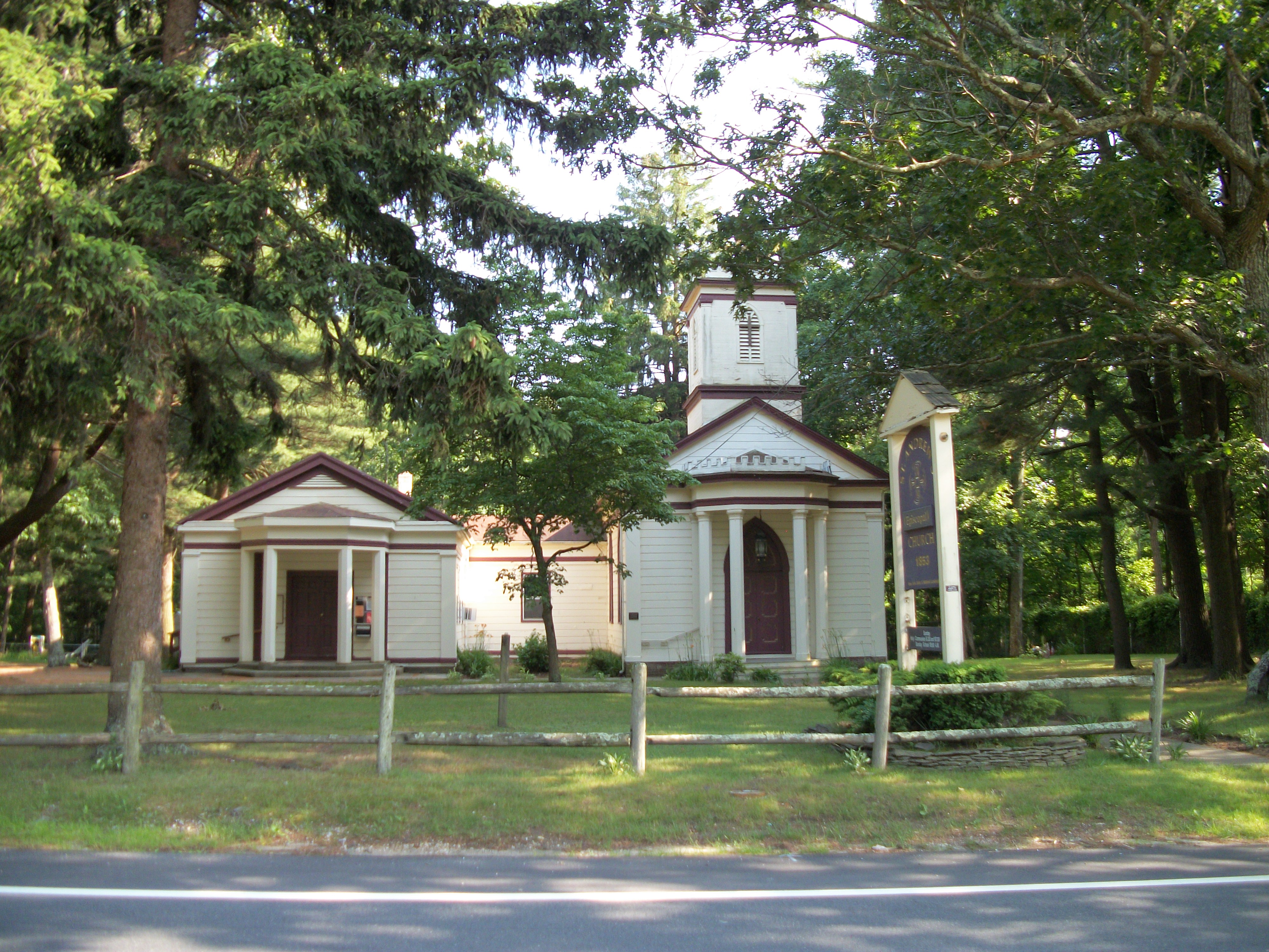
40°56′49″N 73°6′46″W / 40.94694°N 73.11278°WSetauket 7 Congregational Church of Patchogue 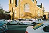
April 1, 1993 95 East Main Street
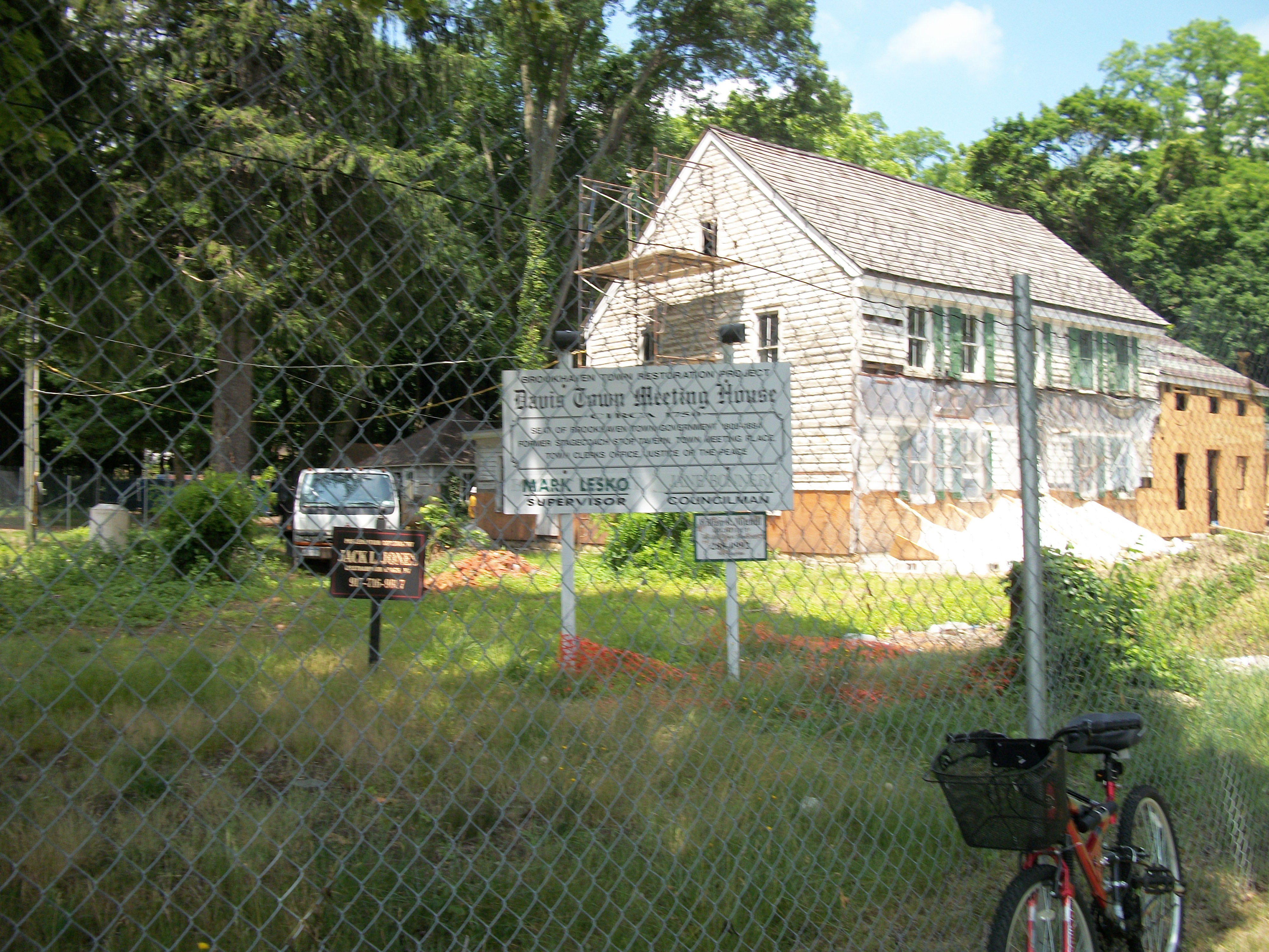
40°45′57″N 73°0′47″W / 40.76583°N 73.01306°WPatchogue 8 Davis Town Meeting House 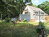
August 15, 2001 Jct. of Middle Country Road and Coram-Mt. Sinai Road
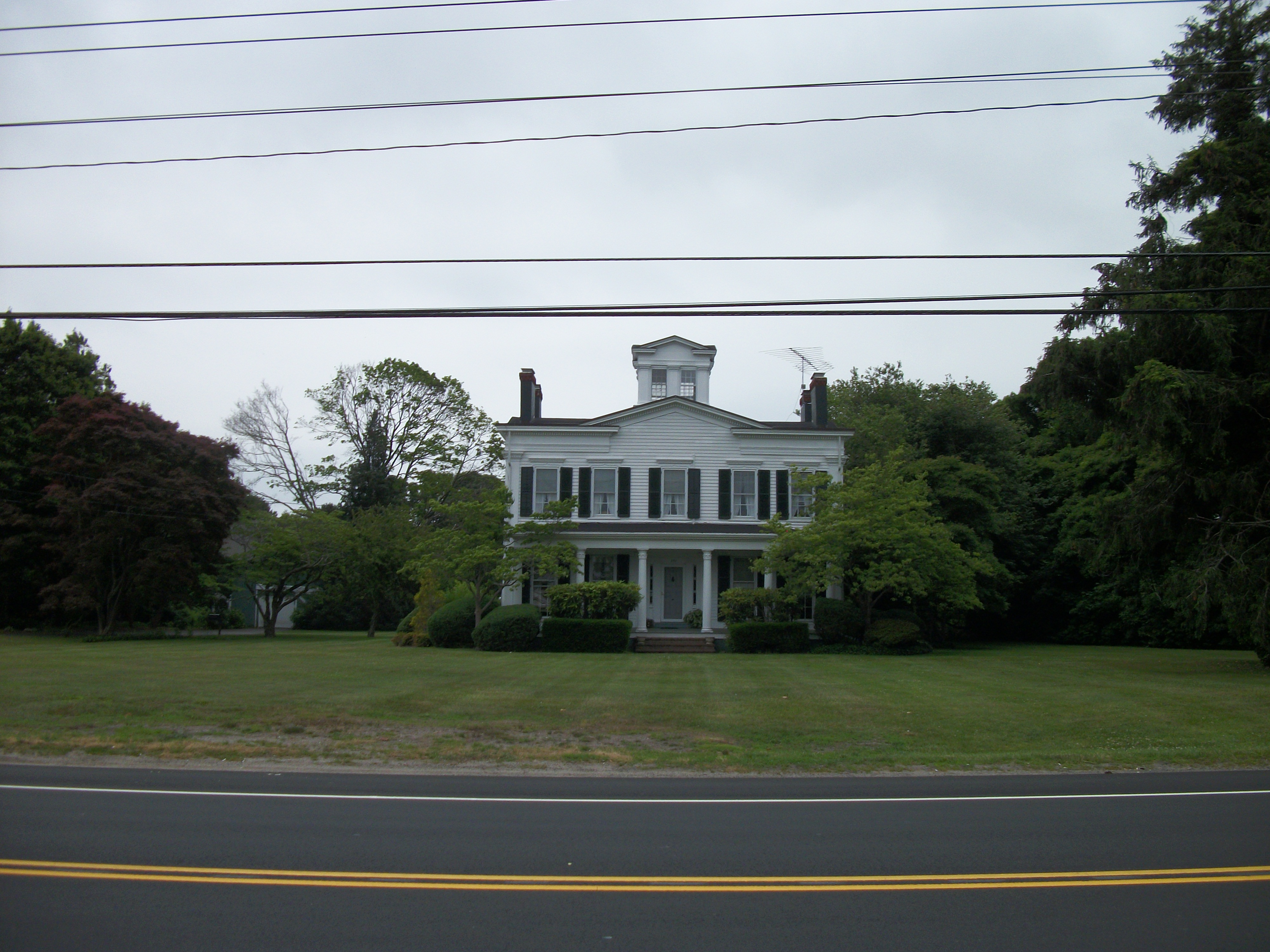
40°52′54″N 72°59′1″W / 40.88167°N 72.98361°WCoram 9 First Congregational Church of New Village April 11, 2002 North side of Middle Country Road, West of Elliot Avenue
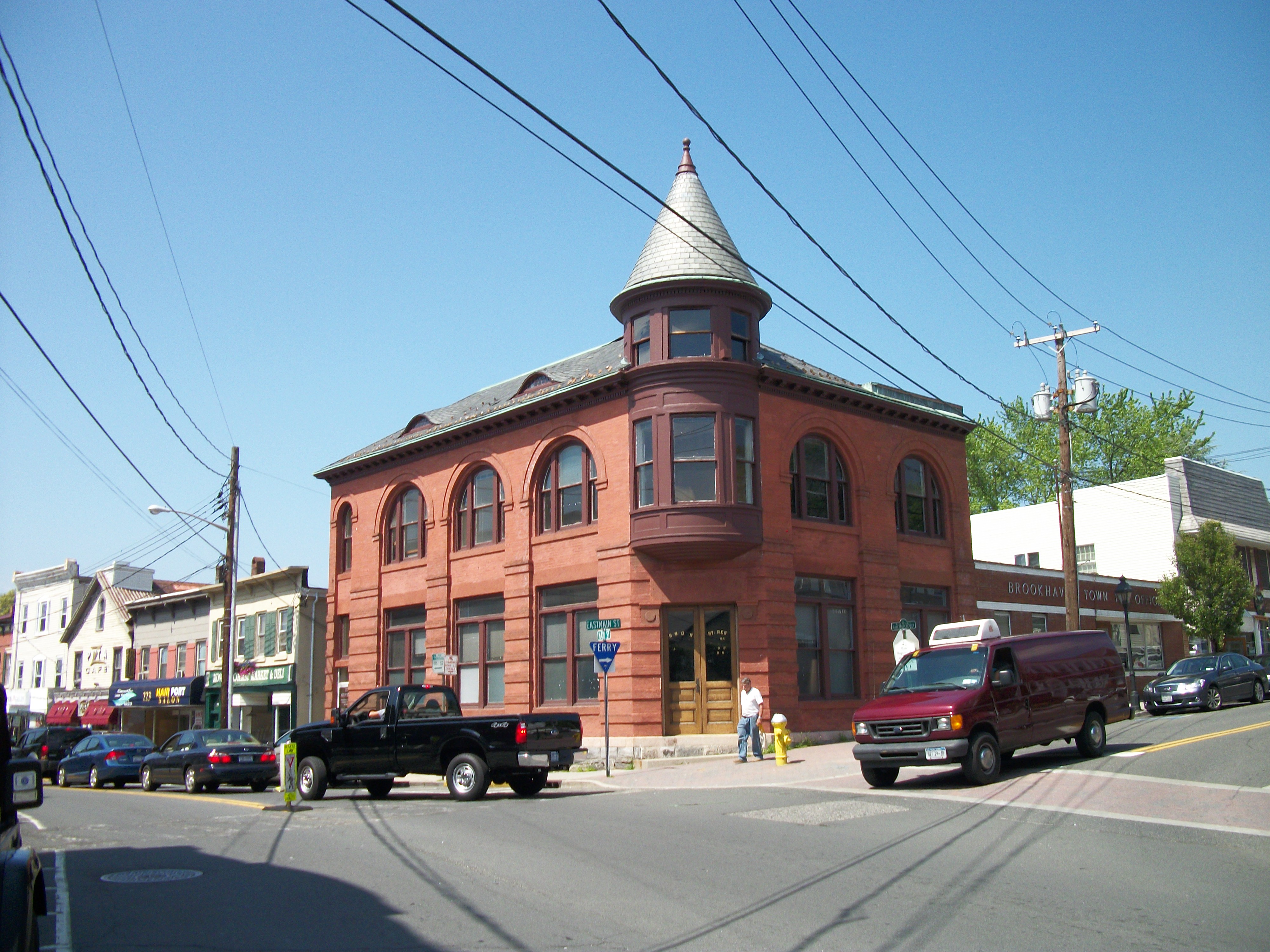
40°51′35″N 73°6′37″W / 40.85972°N 73.11028°WLake Grove 10 First National Bank of Port Jefferson 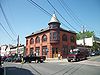
October 5, 2005 Main and East Main Streets
40°56′43″N 73°4′6″W / 40.94528°N 73.06833°WPort Jefferson 11 William Floyd House October 15, 1980 20 Washington Avenue
40°46′9″N 72°49′21″W / 40.76917°N 72.8225°WMastic Beach 12 Gamecock Cottage August 30, 2007 Shipman's Point, South end of West Meadow Beach
40°55′40″N 73°8′50″W / 40.92778°N 73.14722°WStony Brook 13 Hawkins Homestead June 9, 1988 165 Christian Avenue
40°55′45″N 73°8′19″W / 40.92917°N 73.13861°WStony Brook 14 Robert Hawkins Homestead 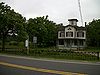
April 10, 1986 Yaphank Avenue
40°49′4″N 72°55′4″W / 40.81778°N 72.91778°WYaphank 15 Homan-Gerard House and Mills 
December 16, 1988 Jct. Main Street and Yaphank Road
40°50′9″N 72°54′57″W / 40.83583°N 72.91583°WYaphank 16 Samuel Hopkins House February 26, 2009 415 Pipe Stave Hollow Rd.
40°57′29.78″N 73°1′15.61″W / 40.9582722°N 73.0210028°WMiller Place New listing; refnum# 09000057 17 Nathaniel Longbotham House November 16, 1989 1541 Stony Brook Road
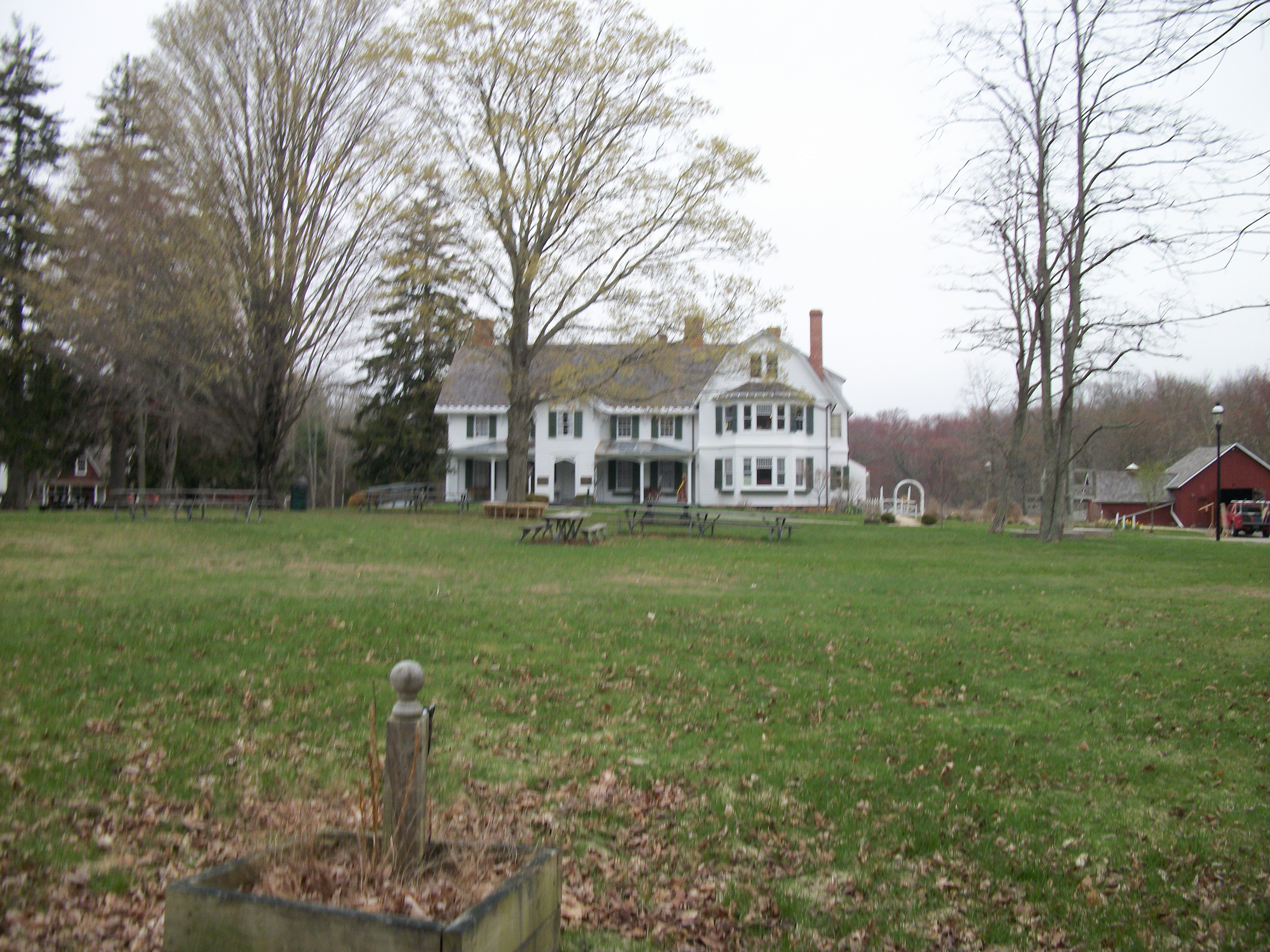
40°54′27″N 73°8′5″W / 40.9075°N 73.13472°WStony Brook 18 Masury Estate Ballroom September 11, 1986 Old Neck Road South
40°46′54″N 72°48′26″W / 40.78167°N 72.80722°WCenter Moriches 19 Frank Melville Memorial Park 
July 19, 2010 Old Field Rd between Lake St. and Main St.
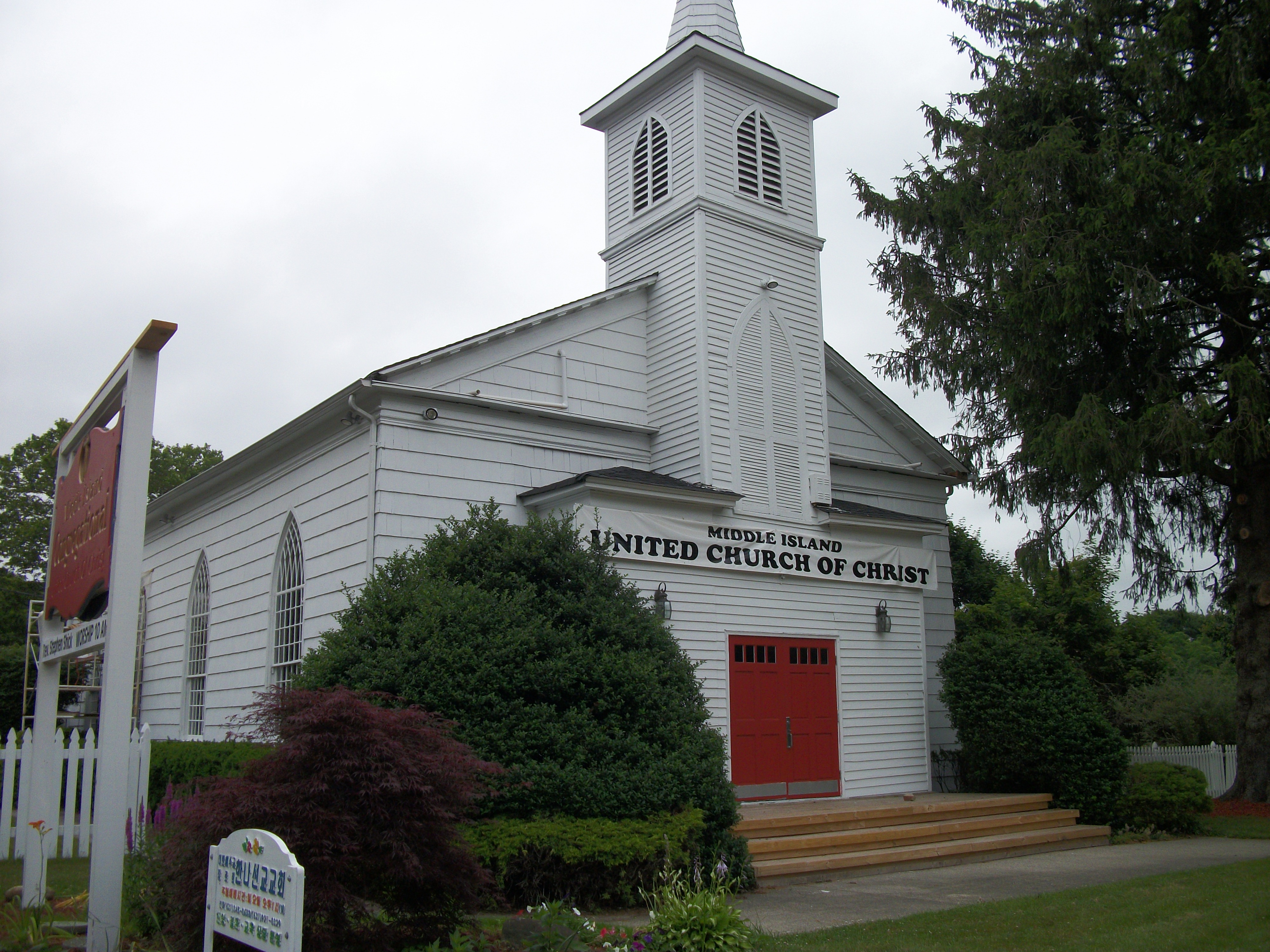
40°56′42″N 73°6′57″W / 40.945°N 73.11583°WSetauket New listing; refnum 10000486 20 Middle Island Presbyterian Church 
December 7, 2005 271 Middle Country Road
40°52′49″N 72°57′48″W / 40.88028°N 72.96333°WMiddle Island 21 Miller Place Historic District 
June 17, 1976 North Country Road
40°57′30″N 72°59′56″W / 40.95833°N 72.99889°WMiller Place 22 William Sidney Mount House 
October 15, 1966 Stony Brook Road and NY 25A
40°54′27″N 73°8′18″W / 40.9075°N 73.13833°WStony Brook 23 Port Jefferson Village Historic District 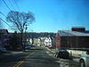
April 6, 2005 Roughly along East Main Street, East Broadway, Grant Street, High Street and South Street
40°56′49″N 73°3′58″W / 40.94694°N 73.06611°WPort Jefferson 24 Setauket Presbyterian Church and Burial Ground 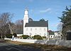
September 27, 1996 5 Caroline Avenue
40°56′45″N 73°6′41″W / 40.94583°N 73.11139°WSetauket 25 Sherwood-Jayne House December 2, 2009 55 Old Post Rd.
40°56′21.36″N 73°5′19.63″W / 40.9392667°N 73.0887861°WEast Setauket New listing; refnum 09000969 26 Smith Estate 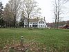
December 10, 1981 Longwood and Smith Roads
40°52′5″N 72°54′24″W / 40.86806°N 72.90667°WRidge Also known as Longwood Estate - Smith House[3] 27 Smith-Rourke House 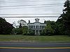
November 28, 1989 350 South Country Road
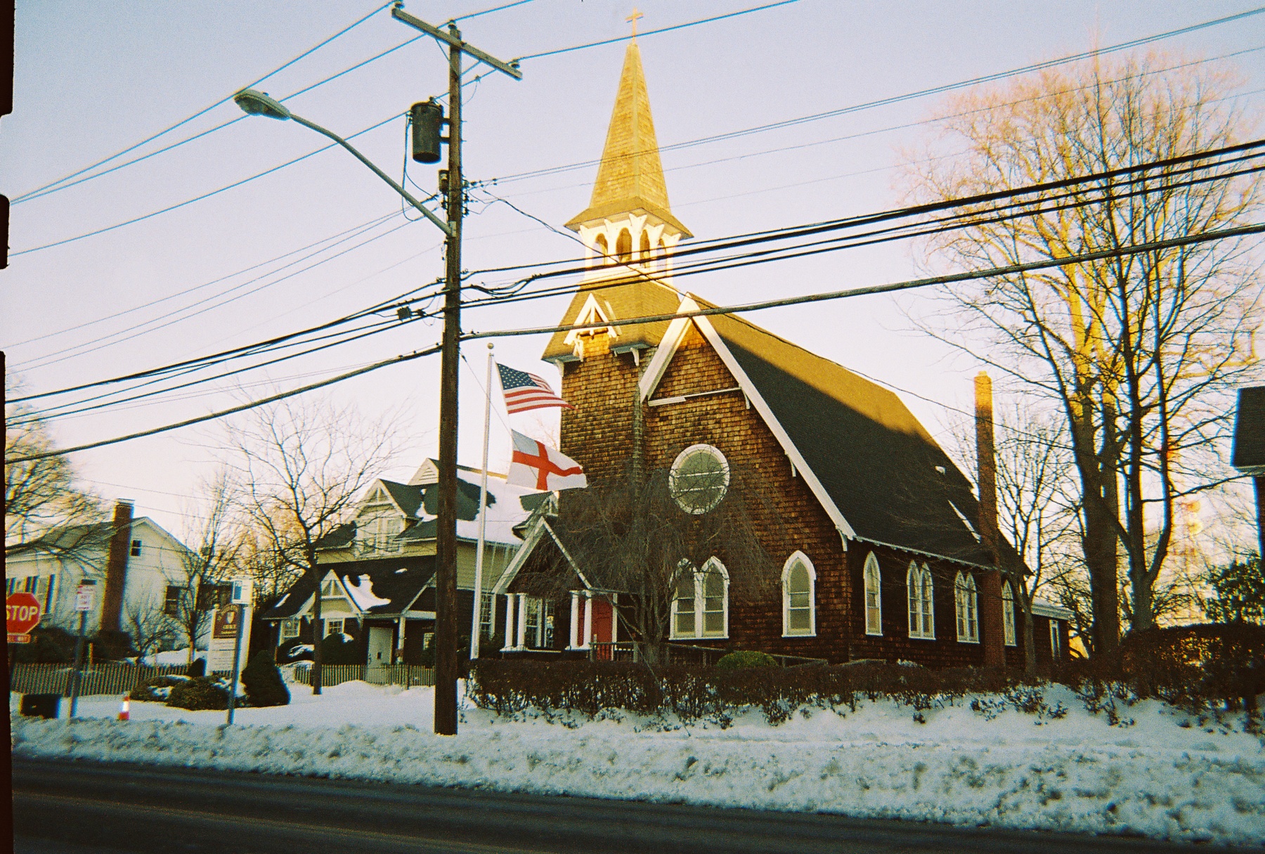
40°45′43″N 72°58′44″W / 40.76194°N 72.97889°WEast Patchogue 28 St. Andrew's Episcopal Church 
September 15, 1988 Main Street
40°50′12″N 72°54′55″W / 40.83667°N 72.91528°WYaphank 29 St. James Chapel June 16, 2000 East side of Main Street, 250 ft. North of Stony Brook Lane
40°54′56″N 73°8′50″W / 40.91556°N 73.14722°WStony Brook 30 St. Paul's Episcopal Church Complex 
June 22, 1995 31 Rider Avenue
40°45′52″N 73°0′33″W / 40.76444°N 73.00917°WPatchogue 31 Stony Brook Grist Mill 
August 3, 1990 Harbor Road, West of Main Street
40°54′49″N 73°8′47″W / 40.91361°N 73.14639°WStony Brook 32 Suffolk County Almshouse Barn September 11, 1986 West of Yaphank Avenue
40°49′41″N 72°55′18″W / 40.82806°N 72.92167°WYaphank 33 Terry-Ketcham Inn 
June 24, 1993 81 Main Street
40°48′8″N 72°46′52″W / 40.80222°N 72.78111°WCenter Moriches 34 Thompson House 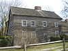
January 7, 1988 North Country Road
40°56′0″N 73°7′6″W / 40.933333°N 73.11833°WSetauket 35 United Methodist Church 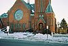
April 19, 1984 South Ocean Avenue and Church Street
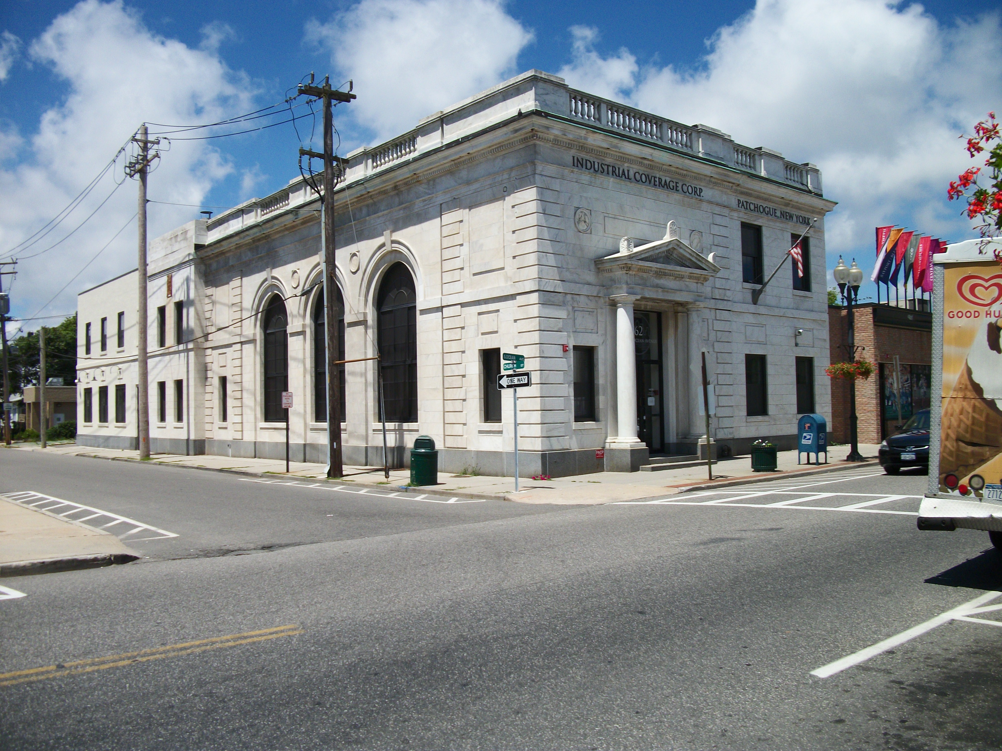
40°45′51.98″N 73°0′52.63″W / 40.7644389°N 73.0146194°WPatchogue 36 Union Savings Bank 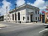
June 11, 2010 62 South Ocean Avenue
40°45′52.19″N 73°0′53.9″W / 40.7644972°N 73.014972°WPatchogue New listing; refnum 10000337. On the opposite corner from United Methodist Church (Patchogue, New York) 37 US Post Office-Patchogue 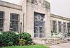
May 11, 1989 170 East Main Street
40°45′55″N 73°0′42″W / 40.76528°N 73.01167°WPatchogue 38 USS SAN DIEGO (Armored Cruiser) Shipwreck Site 
February 17, 1998 Address Restricted Fire Island 39 West Meadow Beach Historic District 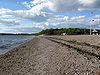
October 28, 2004 Trustees Road
40°55′59″N 73°8′48″W / 40.93306°N 73.14667°WStony Brook 40 Josiah Woodhull House August 24, 2011 170 North Country Rd.
40°57′30″N 72°52′12″W / 40.95833°N 72.87°WShoreham New listing; refnum 11000602 See also
- National Register of Historic Places listings in New York
- National Register of Historic Places listings in Suffolk County, New York
References
- ^ The latitude and longitude information provided is primarily from the National Register Information System, and has been found to be fairly accurate for about 99% of listings. For 1%, the location info may be way off. We seek to correct the coordinate information wherever it is found to be erroneous. Please leave a note in the Discussion page for this article if you believe any specific location is incorrect.
- ^ Numbers represent an ordering by significant words. Various colorings, defined here, differentiate the Historic districts, National Historic Landmarks, and other designations from other NRHP buildings, structures, sites or objects.
- ^ Longwood's Journey (Longwood Library History Website)
Town of Brookhaven, New York County Villages Belle Terre · Bellport · Lake Grove · Mastic Beach · Old Field · Patchogue · Poquott · Port Jefferson · ShorehamHamlets Blue Point · Brookhaven · Calverton · Canaan Lake · Center Moriches · Centereach · Cherry Grove · Coram · Crystal Brook · Cupsogue Beach · Davis Park · East Moriches · East Patchogue · East Setauket · East Shoreham · Eastport · Farmingville · Fire Island Pines · Gordon Heights · Hagerman · Holbrook · Holtsville · Lake Ronkonkoma · Manorville · Mastic · Medford · Middle Island · Miller Place · Moriches · Mount Sinai · North Bellport · North Patchogue · Ocean Bay Park · Point O' Woods · Port Jefferson Station · Ridge · Rocky Point · Ronkonkoma · Selden · Setauket · Shirley · Sound Beach · South Haven · Stony Brook · Strongs Neck · Terryville · Upton · Wading River · Water Island · West Manor · YaphankIndian
reservationPoospatuckWebsite: brookhaven.orgCategories:- Brookhaven, New York
- National Register of Historic Places in Brookhaven (town), New York
- Buildings and structures in Suffolk County, New York


Wikimedia Foundation. 2010.