- National Register of Historic Places listings in Ontario County, New York
-
 Location of Ontario County in New York
List of the National Register of Historic Places listings in Ontario County, New York
This is intended to be a complete list of properties and districts listed on the National Register of Historic Places in Ontario County, New York. The locations of National Register properties and districts (at least for all showing latitude and longitude coordinates below) may be seen in a Google map by clicking on "Map of all coordinates".[1] One property, Boughton Hill, is further designated a National Historic Landmark.
-
- This National Park Service list is complete through NPS recent listings posted November 18, 2011.[2]
Contents: Counties in New York Albany (Albany) – Allegany – Bronx – Broome – Cattaraugus – Cayuga – Chautauqua – Chemung – Chenango – Clinton – Columbia – Cortland – Delaware – Dutchess – Erie (Buffalo) – Essex – Franklin – Fulton – Genesee – Greene – Hamilton – Herkimer – Jefferson – Kings (Brooklyn) – Lewis – Livingston – Madison – Monroe (Rochester) – Montgomery – Nassau – New York (Manhattan – Below 14th Street, 14th to 59th Streets, 59th to 110th Streets, Above 110th Street, Islands) – Niagara – Oneida – Onondaga (Syracuse) – Ontario – Orange – Orleans – Oswego – Otsego – Putnam – Queens – Rensselaer – Richmond (Staten Island) – Rockland – Saratoga – Schenectady – Schoharie – Schuyler – Seneca – St. Lawrence – Steuben – Suffolk – Sullivan – Tioga – Tompkins – Ulster – Warren – Washington – Wayne – Westchester (New Rochelle, Peekskill, Yonkers) – Wyoming – Yates County-wide listings
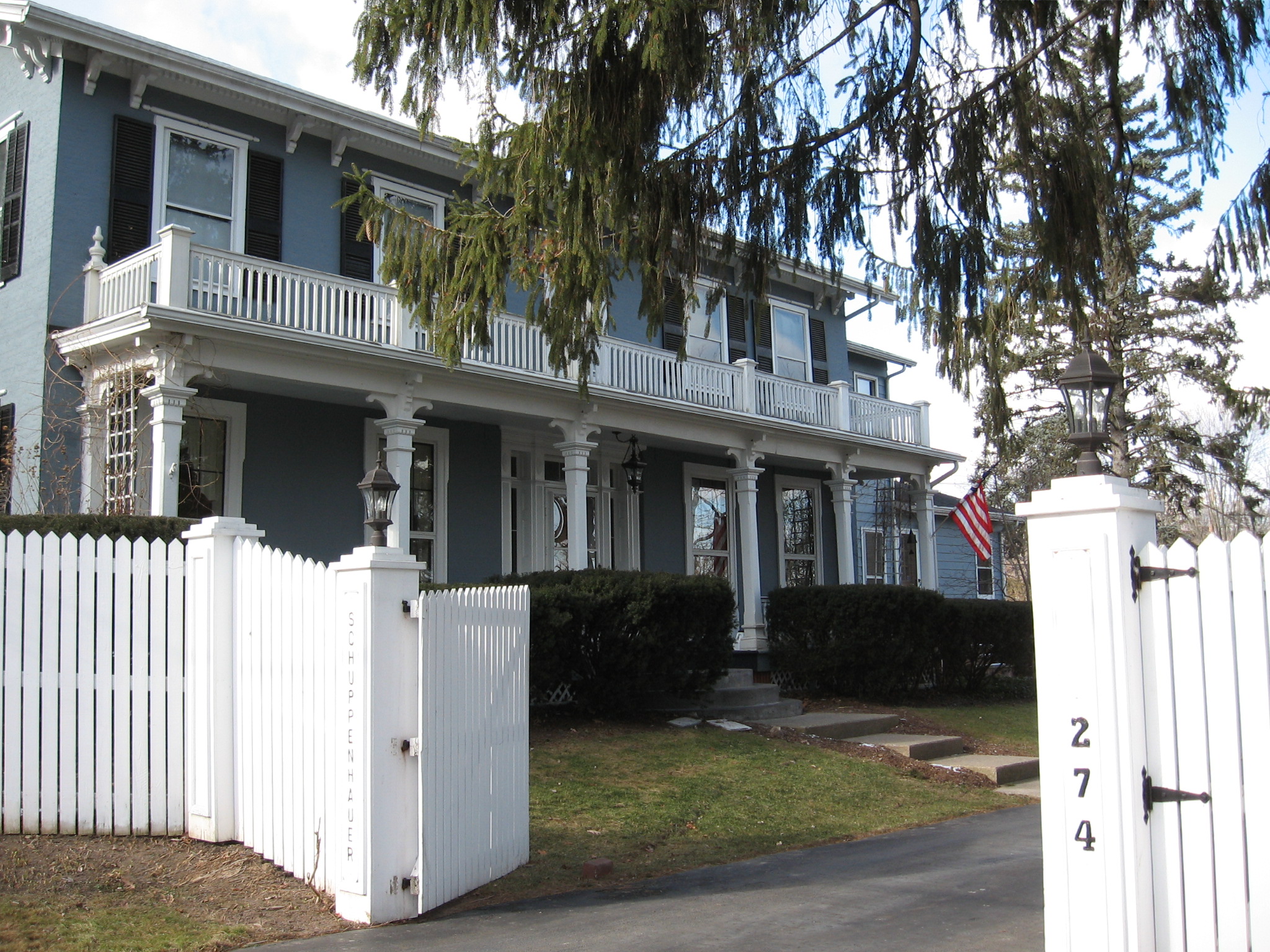
[3] Landmark name Image Date listed Location City or town Summary 1 Adelaide Avenue School 
April 26, 1984 108-116 Adelaide Ave.
42°53′01″N 77°17′10″W / 42.883611°N 77.286111°WCanandaigua 2 Ashcroft November 20, 1975 112 Jay St.
42°51′13″N 76°59′09″W / 42.853611°N 76.985833°WGeneva 3 Levi Barden Cobblestone Farmhouse July 25, 2003 5300 Wabash Rd.
42°46′16″N 77°02′18″W / 42.771111°N 77.038333°WSeneca 4 Thomas Barron House October 6, 1988 1160 Canandaigua Rd.
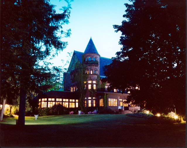
42°51′45″N 77°02′01″W / 42.8625°N 77.033611°WSeneca 5 Belhurst Castle 
January 29, 1987 Lochland Rd.
42°50′18″N 76°58′39″W / 42.838333°N 76.9775°WGeneva House on Seneca Lake, now a restaurant and inn 6 Benham House 
April 26, 1984 280-282 S. Main St.
42°52′59″N 77°16′45″W / 42.883056°N 77.279167°WCanandaigua 7 Boughton Hill 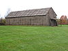
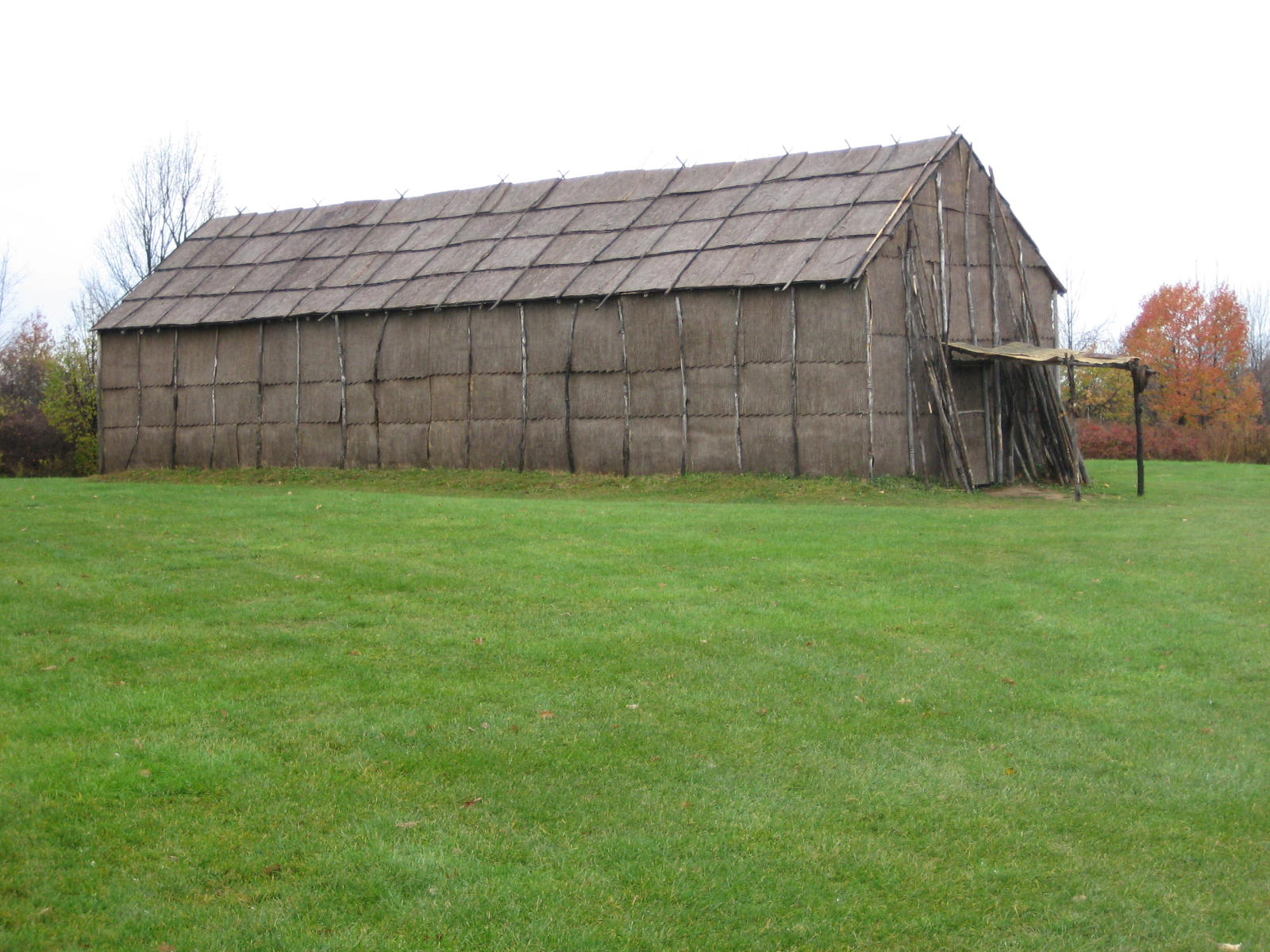
October 15, 1966 Address Restricted Victor Also known as Ganondagan State Historic Site 8 Brigham Hall 
September 29, 1984 229 Bristol St.
42°52′45″N 77°17′23″W / 42.879167°N 77.289722°WCanandaigua 9 Building at 426 South Main Street 
April 26, 1984 426 S. Main St.
42°52′34″N 77°16′38″W / 42.876111°N 77.277222°WCanandaigua 10 Canandaigua Historic District 
April 26, 1984 Roughly Main St. from Chapel to Saltonstall Sts.; Howell, Gibson, Gorham, Bristol, Bemis and Center Sts.
42°53′24″N 77°16′59″W / 42.89°N 77.283056°WCanandaigua 11 Thaddeus Chapin House 
April 26, 1984 128 Thad Chapin St.
42°52′55″N 77°17′30″W / 42.881944°N 77.291667°WCanandaigua 12 Ephraim Cleveland House February 18, 1994 201 N. Main St.
42°37′34″N 77°23′41″W / 42.626111°N 77.394722°WNaples 13 Clifton Springs Sanitarium April 6, 1979 11 and 9 E. Main St
42°57′40″N 77°08′14″W / 42.961111°N 77.137222°WClifton Springs 14 Clifton Springs Sanitarium Historic District May 24, 1990 E. Main St. between Crane and Prospect
42°57′40″N 77°08′13″W / 42.961111°N 77.136944°WClifton Springs 15 Cobblestone Manor 
April 26, 1984 495 N. Main St.
42°54′08″N 77°17′30″W / 42.902222°N 77.291667°WCanandaigua 16 Cobblestone Railroad Pumphouse May 22, 1992 Main St.
43°00′31″N 77°28′02″W / 43.008611°N 77.467222°WVictor 17 Jeremiah Cronkite House February 5, 2002 1095 Lynaugh Rd.
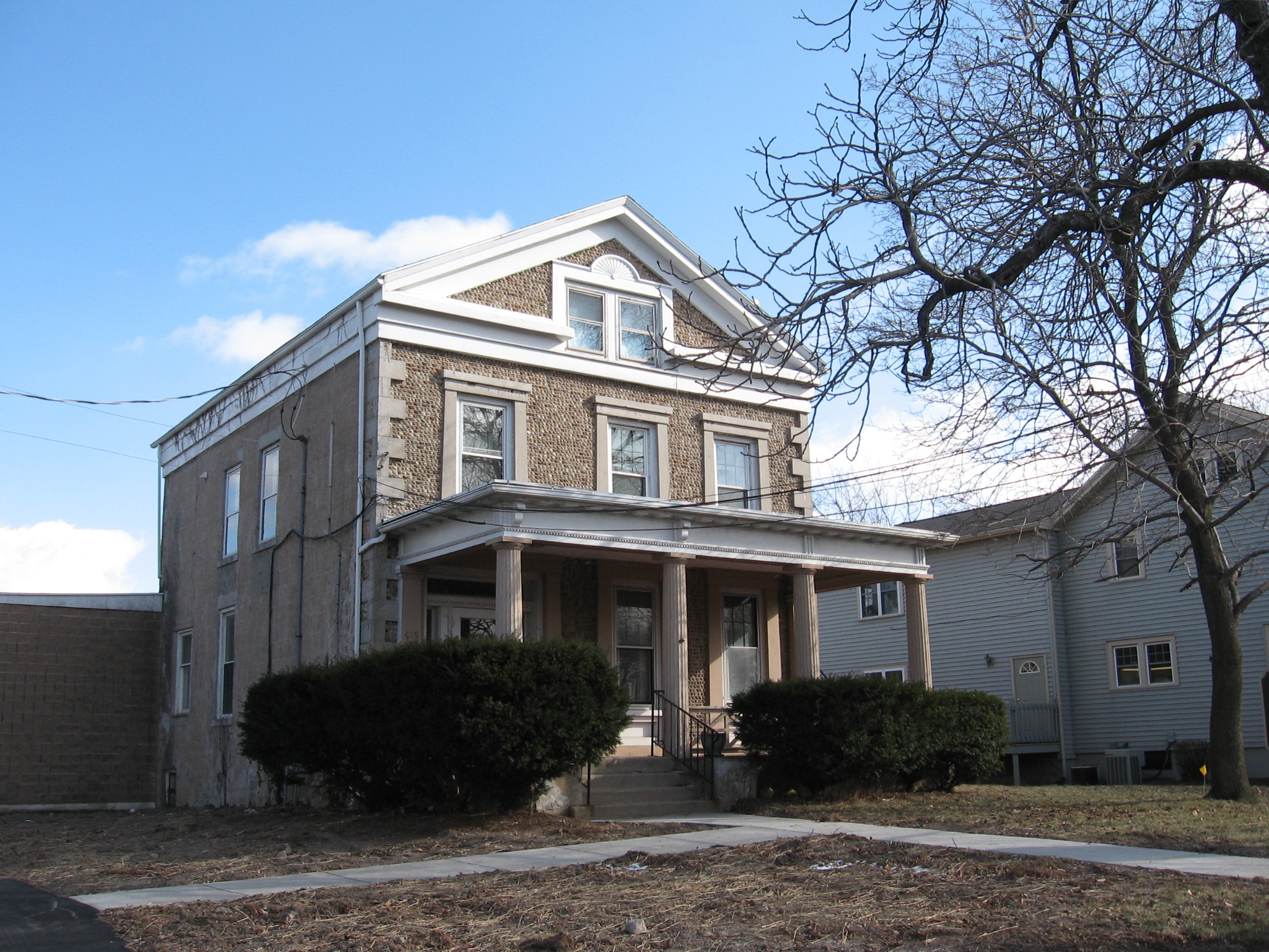
42°58′59″N 77°23′51″W / 42.983056°N 77.3975°WVictor 18 John and Mary Dickson House November 19, 2008 9010 Main St.
42°54′20″N 77°32′19″W / 42.905556°N 77.538611°WWest Bloomfield, New York 19 East Bloomfield Historic District November 13, 1989 Roughly Main, South, Park Sts. and NY 5
42°53′43″N 77°26′04″W / 42.895278°N 77.434444°WEast Bloomfield 20 Farmers and Merchants Bank 
February 28, 2008 24-26 Linden St.
42°52′03″N 76°59′02″W / 42.8675°N 76.983889°WGeneva 21 Farmington Quaker Crossroads Historic District April 25, 2007 Cty Rd. 8 at Sheldon Rd.
43°01′41″N 77°19′19″W / 43.028103°N 77.321953°WFarmington 22 Felt Cobblestone General Store May 22, 1992 6452 Victor-Manchester Rd.
42°58′28″N 77°22′53″W / 42.974444°N 77.381389°WVictor 23 First Baptist Church (Geneva) October 10, 2002 134 N. Main St.
42°52′16″N 76°59′15″W / 42.871111°N 76.9875°WGeneva 24 First Baptist Church of Phelps May 22, 1992 40 Church St.
42°57′18″N 77°03′31″W / 42.955°N 77.058611°WPhelps 25 Genesee Park Historic District October 10, 2002 Genesee Park, Genesee Park Place, and Genesee and Lewis Sts.
42°52′16″N 76°59′02″W / 42.871111°N 76.983889°WGeneva 26 Geneva Armory 
March 2, 1995 300 Main St.
42°52′01″N 76°59′07″W / 42.866944°N 76.985278°WGeneva 27 Geneva Hall and Trinity Hall, Hobart & William Smith College July 16, 1973 S. Main St.
42°51′29″N 76°58′57″W / 42.858056°N 76.9825°WGeneva 28 Granger Cottage 
April 26, 1984 60 Granger St.
42°34′22″N 77°16′26″W / 42.572778°N 77.273889°WCanandaigua 29 Francis Granger House 
April 26, 1984 426 N. Main St.
42°54′02″N 77°17′29″W / 42.900556°N 77.291389°WCanandaigua 30 Harmon Cobblestone Farmhouse and Cobblestone Smokehouse May 22, 1992 983 Smith Rd.
42°59′31″N 77°07′29″W / 42.991944°N 77.124722°WPhelps 31 Dr. John Quincy Howe House February 5, 2002 66 Main St.
42°57′26″N 77°03′22″W / 42.957222°N 77.056111°WPhelps 32 William Huffman Cobblestone House December 31, 2002 1064 Townline Rd.
42°59′04″N 76°58′06″W / 42.984444°N 76.968333°WPhelps 33 Marshall House 
April 26, 1984 274 Bristol St.
42°52′49″N 77°17′29″W / 42.880278°N 77.291389°WCanandaigua 34 Morgan Hook and Ladder Company June 2, 1995 18-20 Mill St.
42°36′55″N 77°24′13″W / 42.615278°N 77.403611°WNaples 35 Naples Memorial Town Hall May 13, 1996 N. Main St., NE corner of jct. of N. Main and Monier Sts.
42°37′02″N 77°24′02″W / 42.617222°N 77.400556°WNaples 36 Nester House 
April 9, 1984 1001 Lochland Rd.
42°50′55″N 76°58′48″W / 42.848611°N 76.98°WGeneva 37 North Main Street Historic District 
July 20, 1973 Between RR tracks and Buffalo-Chapel St.
42°53′35″N 77°17′08″W / 42.893056°N 77.285556°WCanandaigua 38 Ontario and Livingston Mutual Insurance Office November 21, 2008 9018 Main St. West Bloomfield 39 Osborne House July 11, 1980 146 Maple Ave.
42°58′42″N 77°24′38″W / 42.978333°N 77.410556°WVictor 40 Parrott Hall August 12, 1971 W. North St. between Castle St. and Preemption Rd.
42°52′36″N 77°00′30″W / 42.876667°N 77.008333°WGeneva 41 Phelps Town Hall April 25, 1996 79 Main St.
42°57′25″N 77°03′28″W / 42.956944°N 77.057778°WPhelps 42 Port Gibson United Methodist Church November 29, 1996 2951 Greig St.
43°02′13″N 77°09′23″W / 43.036944°N 77.156389°WPort Gibson 43 Rippey Cobblestone Farmhouse October 6, 1992 1227 Leet Rd.
42°50′28″N 77°02′19″W / 42.841111°N 77.038611°WSeneca 44 St. Bridget's Roman Catholic Church Complex (Bloomfield, New York) August 28, 1992 15 Church St., between Church and Michigan Sts.
42°54′02″N 77°25′57″W / 42.900556°N 77.4325°WBloomfield 45 St. John's Episcopal Church (Phelps, New York) November 7, 1978 Church St.
42°57′23″N 77°03′28″W / 42.956389°N 77.057778°WPhelps 46 St. Peter's Episcopal Church (Bloomfield, New York) November 29, 1996 44 Main St.
42°54′01″N 77°25′28″W / 42.900278°N 77.424444°WBloomfield 47 Saltonstall Street School 
April 26, 1984 47 Saltonstall St.
42°53′03″N 77°16′36″W / 42.884167°N 77.276667°WCanandaigua 48 Seneca Presbyterian Church May 25, 1973 E of Stanley off NY 245 on Number Nine Rd.
42°48′20″N 77°03′05″W / 42.805556°N 77.051389°WStanley 49 Smith Observatory and Dr. William R. Brooks House April 11, 2008 618-620 Castle St.
42°52′20″N 77°00′11″W / 42.872097°N 77.003111°WGeneva (new listing; refnum 08000275) 50 Smith's Opera House October 10, 1979 82 Seneca St.
42°52′02″N 76°59′03″W / 42.867111°N 76.984083°WGeneva 51 Sonnenberg Gardens 
September 28, 1973 151 Charlotte St.
42°54′00″N 77°16′21″W / 42.9°N 77.2725°WCanandaigua 52 South Bristol Grange Hall 1107 December 19, 1997 6457 NY 64
42°42′28″N 77°22′50″W / 42.707778°N 77.380556°WBristol Springs 53 South Main Street Historic District (Geneva, New York) 
December 31, 1974 Irregular pattern along S. Main St.
42°51′27″N 76°58′59″W / 42.8575°N 76.983056°WGeneva 54 Philetus Swift House March 15, 2005 866 NY 96
42°56′56″N 77°01′06″W / 42.948889°N 77.018333°WPhelps 55 US Post Office-Canandaigua 
November 17, 1988 28 N. Main St.
42°53′18″N 77°16′57″W / 42.888333°N 77.2825°WCanandaigua 56 US Post Office-Geneva 
May 11, 1989 67 Castle St.
42°52′03″N 76°59′07″W / 42.8675°N 76.985278°WGeneva 57 Valentown Hall May 9, 1997 Jct. of High St. and Valentown Rd.
43°01′34″N 77°26′09″W / 43.026111°N 77.435833°WVictor 58 Oliver Warner Farmstead November 17, 1988 NY 88
42°54′51″N 77°07′51″W / 42.914167°N 77.130833°WClifton Springs 59 Washington Street Cemetery June 4, 2002 Washington St.
42°51′44″N 76°59′27″W / 42.862222°N 76.990833°WGeneva 60 George and Addison Wheeler House March 15, 2005 6353 Grimble Rd.
42°51′33″N 77°22′22″W / 42.859167°N 77.372778°WEast Bloomfield 61 Wilder Cemetery March 23, 2003 NY 64
42°44′08″N 77°23′53″W / 42.735556°N 77.398056°WS. Bristol See also
References
- ^ The latitude and longitude information provided in this table was derived originally from the National Register Information System, which has been found to be fairly accurate for about 99% of listings. For about 1% of NRIS original coordinates, experience has shown that one or both coordinates are typos or otherwise extremely far off; some corrections may have been made. A more subtle problem causes many locations to be off by up to 150 yards, depending on location in the country: most NRIS coordinates were derived from tracing out latitude and longitudes off of USGS topographical quadrant maps created under North American Datum of 1927, which differs from the current, highly accurate GPS system used by Google maps. Chicago is about right, but NRIS longitudes in Washington are higher by about 4.5 seconds, and are lower by about 2.0 seconds in Maine. Latitudes differ by about 1.0 second in Florida. Some locations in this table may have been corrected to current GPS standards.
- ^ "National Register of Historic Places: Weekly List Actions". National Park Service, United States Department of the Interior. Retrieved on November 18, 2011.
- ^ Numbers represent an ordering by significant words. Various colorings, defined here, differentiate National Historic Landmark sites and National Register of Historic Places Districts from other NRHP buildings, structures, sites or objects.
Categories:- National Register of Historic Places in New York by county
- Buildings and structures in Ontario County, New York
-


Wikimedia Foundation. 2010.