- National Register of Historic Places listings in Oneida County, New York
-
 Location of Oneida County in New York
List of the National Register of Historic Places listings in Oneida County, New York
This is intended to be a complete list of properties and districts listed on the National Register of Historic Places in Oneida County, New York. The locations of National Register properties and districts (at least for all showing latitude and longitude coordinates below) may be seen in a Google map by clicking on "Map of all coordinates".[1] Six of the properties are further designated National Historic Landmarks.
-
- This National Park Service list is complete through NPS recent listings posted November 18, 2011.[2]
Contents: Counties in New York Albany (Albany) – Allegany – Bronx – Broome – Cattaraugus – Cayuga – Chautauqua – Chemung – Chenango – Clinton – Columbia – Cortland – Delaware – Dutchess – Erie (Buffalo) – Essex – Franklin – Fulton – Genesee – Greene – Hamilton – Herkimer – Jefferson – Kings (Brooklyn) – Lewis – Livingston – Madison – Monroe (Rochester) – Montgomery – Nassau – New York (Manhattan – Below 14th Street, 14th to 59th Streets, 59th to 110th Streets, Above 110th Street, Islands) – Niagara – Oneida – Onondaga (Syracuse) – Ontario – Orange – Orleans – Oswego – Otsego – Putnam – Queens – Rensselaer – Richmond (Staten Island) – Rockland – Saratoga – Schenectady – Schoharie – Schuyler – Seneca – St. Lawrence – Steuben – Suffolk – Sullivan – Tioga – Tompkins – Ulster – Warren – Washington – Wayne – Westchester (New Rochelle, Peekskill, Yonkers) – Wyoming – Yates Listings county-wide
[3] Landmark name Image Date listed Location City or town Summary 1 Arsenal House July 18, 1974 514 W. Dominick St.
43°12′56″N 75°28′04″W / 43.215556°N 75.467778°WRome 2 Ava Town Hall May 18, 1992 NY 26 S of jct. with Ava Rd.
43°25′00″N 75°28′50″W / 43.416667°N 75.480556°WAva 3 Black River Canal Warehouse March 7, 2003 502 Water St.
43°28′52″N 75°19′40″W / 43.481111°N 75.327778°WBoonville 4 Boonville Historic District 
November 16, 1979 Schuyler, Post, W. Main and Summit Sts.
43°29′04″N 75°20′13″W / 43.484444°N 75.336944°WBoonville 5 Brick Store Building April 26, 1996 Jct. of US 20 and NY 8
42°52′44″N 75°15′07″W / 42.878889°N 75.251944°WBridgewater 6 Bridgewater Railroad Station April 12, 2006 US 20
42°52′45″N 75°14′48″W / 42.879167°N 75.246667°WBridgewater 7 Byington Mill (Frisbie & Stansfield Knitting Company) May 27, 1993 421-423 Broad St.
43°06′09″N 75°13′20″W / 43.1025°N 75.222222°WUtica 8 Calvary Episcopal Church July 3, 2008 1101 Howard Ave.
43°05′43″N 75°13′52″W / 43.095217°N 75.231067°WUtica (new listing, refnum 08000595) 9 Camroden Presbyterian Church January 4, 2007 8049 E. Floyd Rd.
43°15′12″N 75°16′55″W / 43.253333°N 75.281944°WFloyd 10 Clinton Village Historic District June 14, 1982 North, South, East, West Park Rows, Marvin, Williams, Chestnut, Fountain, College and Utica Sts.
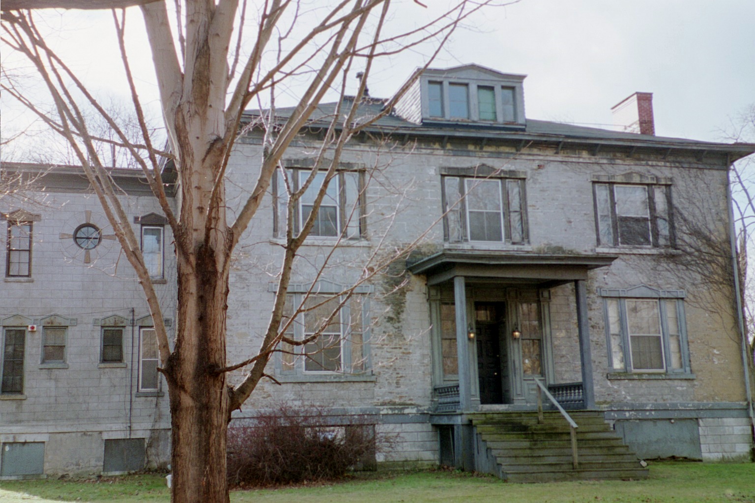
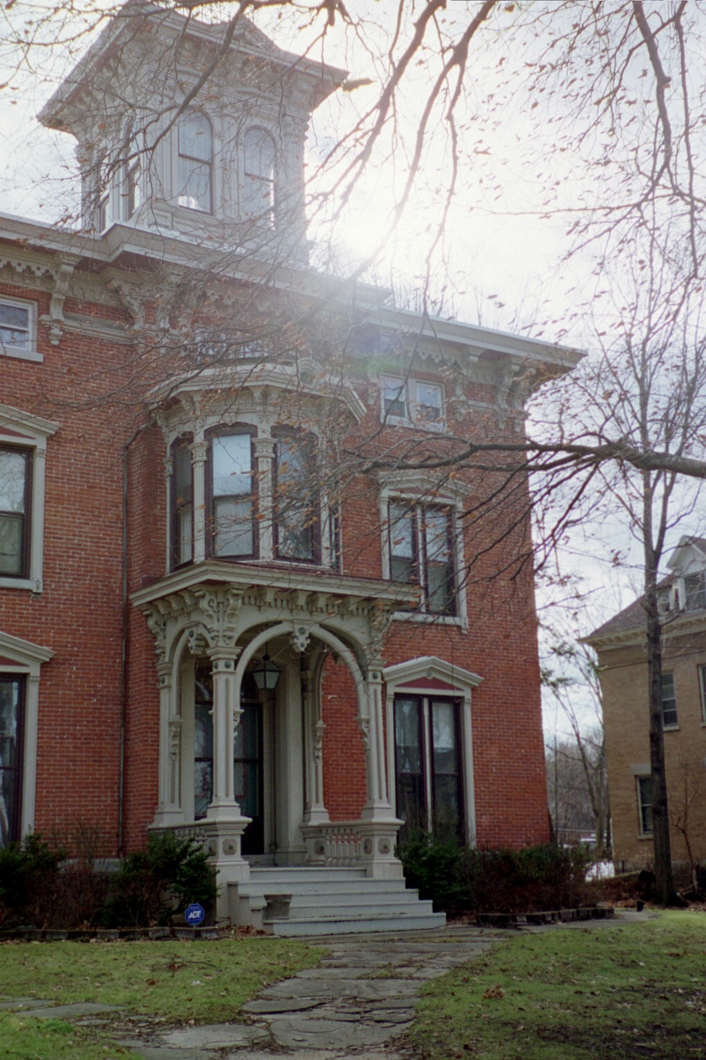
43°02′09″N 75°22′51″W / 43.035833°N 75.380833°WClinton 11 Roscoe Conkling House 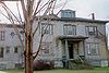
May 15, 1975 3 Rutger St.
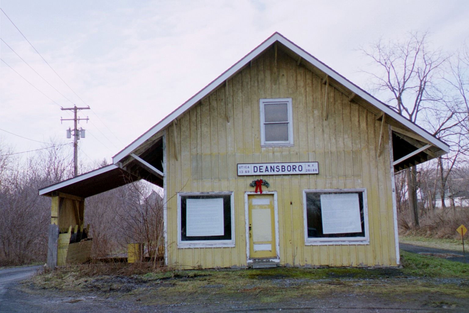
43°05′46″N 75°13′47″W / 43.096111°N 75.229722°WUtica 12 Deansboro Railroad Station 
November 15, 2002 2707 NY 315
42°59′37″N 75°25′38″W / 42.993611°N 75.427222°WDeansboro 13 W.H. Dorrance House April 29, 1999 32 Church St.
43°20′11″N 75°44′39″W / 43.336389°N 75.744167°WCamden 14 Doyle Hardware Building June 10, 1993 330-334 Main St.
43°06′13″N 75°13′27″W / 43.103611°N 75.224167°WUtica 15 Erwin Library and Pratt House August 14, 1973 104 and 106 Schuyler St.
43°29′02″N 75°20′13″W / 43.483889°N 75.336944°WBoonville 16 First Baptist Church of Deerfield July 11, 1985 Herkimer Rd.
43°06′51″N 75°12′08″W / 43.114167°N 75.202222°WUtica 17 First Congregational Free Church 
January 25, 1979 177 N. Main St.
42°56′25″N 75°27′38″W / 42.940278°N 75.460556°WOriskany Falls 18 First Methodist Episcopal Church of Rome First Methodist Episcopal Church of RomeJanuary 29, 2010 400 N. George St.
43°12′59″N 75°27′31″W / 43.21635°N 75.458506°WRome New listing; refnum 09001286 19 First Presbyterian Church 
November 3, 1988 1605 Genesee St.
43°05′29″N 75°15′01″W / 43.091389°N 75.250278°WUtica Church designed by architect Ralph Adams Cram 20 Five Lock Combine and Locks 37 and 38, Black River Canal March 20, 1973 NY 46
43°24′11″N 75°21′49″W / 43.403056°N 75.363611°WBoonville 21 Gen. William Floyd House 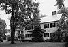
June 17, 1971 W side of Main St.
43°18′22″N 75°23′02″W / 43.306111°N 75.383889°WWesternville 22 Fort Schuyler Club Building 
May 12, 2004 254 Genesee St.
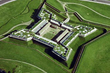
43°05′59″N 75°14′07″W / 43.099722°N 75.235278°WUtica 23 Fort Stanwix National Monument 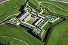
October 15, 1966 Bounded by Dominick, Spring, Liberty, and James Sts.
43°12′42″N 75°27′23″W / 43.21167°N 75.45639°WRome 24 Fountain Elms November 3, 1972 318 Genesee St.
43°05′49″N 75°14′29″W / 43.096944°N 75.241389°WUtica 25 Gansevoort-Bellamy Historic District 
November 12, 1975 Roughly bounded by Liberty, Stuben, and Huntington Sts. to Bissel
43°12′47″N 75°27′21″W / 43.213056°N 75.455833°WRome 26 Grace Church 
May 23, 1997 193 Genesee St.
43°06′03″N 75°13′53″W / 43.100833°N 75.231389°WUtica 27 Hamilton College Chapel 
November 3, 1972 Hamilton College campus
43°03′07″N 75°24′22″W / 43.051944°N 75.406111°WClinton 28 John C. Hieber Building July 24, 2007 311 Main St.
43°06′15″N 75°13′29″W / 43.104167°N 75.224722°WUtica 29 Holland Patent Railroad Station February 25, 2000 Park Ave.
43°14′24″N 75°15′17″W / 43.24°N 75.254722°WHolland Patent 30 Holland Patent Stone Churches Historic District 
November 21, 1991 Roughly bounded by Main St., Park Ave., Park Pl. and Willow Cr.
43°14′28″N 75°15′26″W / 43.241111°N 75.257222°WHolland Patent 31 Hurd & Fitzgerald Building June 25, 1993 400 Main St.
43°06′12″N 75°13′24″W / 43.103333°N 75.223333°WUtica 32 Jervis Public Library November 4, 1982 613 N. Washington St.
43°13′07″N 75°27′16″W / 43.218611°N 75.454444°WRome 33 Lower Genesee Street Historic District October 29, 1982 Roughly bounded by Genesee, Liberty, Seneca, and Whitesboro Sts. (both sides)
43°06′15″N 75°13′42″W / 43.104167°N 75.228333°WUtica 34 Mappa Hall May 12, 1982 Mappa Ave.
43°16′23″N 75°11′22″W / 43.273056°N 75.189444°WBarneveld 35 Memorial Church of the Holy Cross July 20, 2000 841 Bleecker St.
43°05′50″N 75°12′49″W / 43.097222°N 75.213611°WUtica 36 Middle Mill Historic District May 28, 1976 NY 5A
43°06′18″N 75°17′34″W / 43.105°N 75.292778°WNew York Mills 37 Millar-Wheeler House 
February 10, 2000 1423 Genesee St.
43°05′43″N 75°14′37″W / 43.095278°N 75.243611°WUtica 38 Mills House June 13, 1997 507 N. George St.
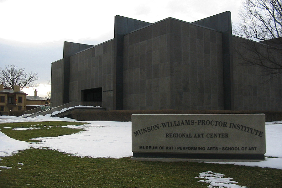
43°13′05″N 75°27′28″W / 43.218056°N 75.457778°WRome 39 Munson-Williams-Proctor Arts Institute 
September 9, 2010 310 Genesee St.
43°05′49″N 75°14′29″W / 43.096944°N 75.241389°WUtica New listing; refnum 10000727 40 Neck Canal of 1730 August 15, 1995 Cavanaugh Rd. (Co. Rt. 30)
43°07′48″N 75°16′28″W / 43.13°N 75.274444°WMarcy 41 New Century Club 
September 12, 1985 253 Genesee St.
43°05′58″N 75°14′06″W / 43.099444°N 75.235°WUtica 42 New York Central Railroad Adirondack Division Historic District 
December 23, 1993 NYCRR Right-of-Way
43°53′40″N 74°26′26″W / 43.894444°N 74.440556°WRemsen 43 Rev. Asahel Norton Homestead July 11, 1985 Norton Rd.
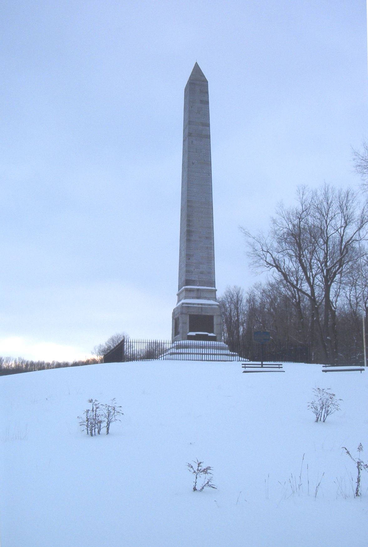
43°03′51″N 75°25′07″W / 43.064167°N 75.418611°WKirkland 44 Oriskany Battlefield 
October 15, 1966 5 mi. E of Rome on NY 69
43°10′07″N 75°22′08″W / 43.168611°N 75.368889°WRome 45 Otter Lake Community Church July 9, 2004 NY 28
43°35′30″N 75°06′46″W / 43.591667°N 75.112778°WOtter Lake 46 Pleasant Valley Grange Hall February 12, 1999 US 20, 2 mi. W of Pleasant Valley
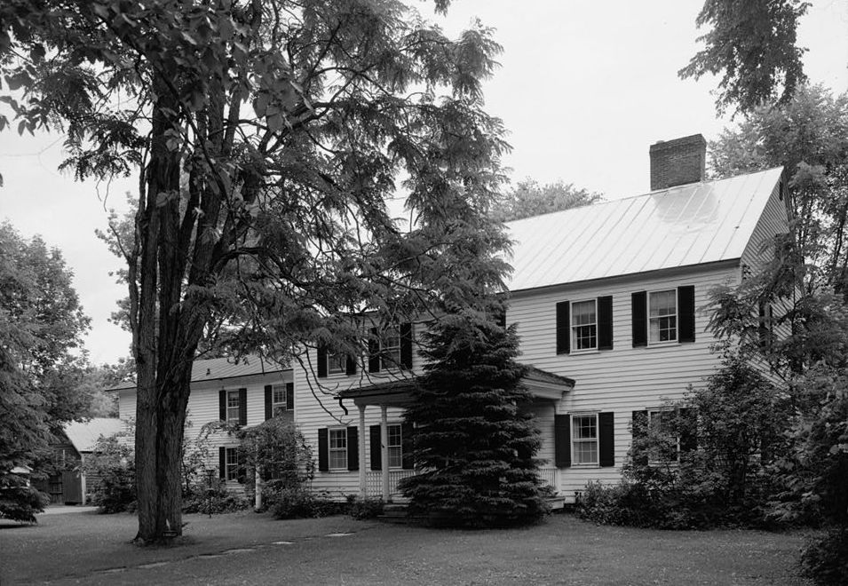
42°55′02″N 75°26′25″W / 42.917222°N 75.440278°WPleasant Valley 47 Elihu Root House 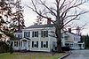
November 28, 1972 101 College Hill Rd.
43°02′59″N 75°24′18″W / 43.049722°N 75.405°WClinton 48 Rutger-Steuben Park Historic District September 19, 1973 Roughly bounded by Taylor and Howard Aves. including both sides of Rutger Ave. and Steuben Park
43°05′47″N 75°13′39″W / 43.096369°N 75.227494°WUtica 49 St. Joseph's Church August 22, 1977 704-708 Columbia St.
43°06′18″N 75°14′29″W / 43.105°N 75.241389°WUtica 50 St. Mark's Church August 30, 1996 19 White St.
43°05′25″N 75°22′47″W / 43.090278°N 75.379722°WClark Mills 51 St. Paul's Church and Cemetery August 30, 1996 Rt. 12, jct. with Snowden Hill Rd.
43°00′04″N 75°18′53″W / 43.001111°N 75.314722°WParis Hill 52 St. Stephen's Church August 30, 1996 22-27 Oxford St.
43°04′17″N 75°17′12″W / 43.071389°N 75.286667°WNew Hartford 53 Edward W. Stanley Recreation Center 
February 17, 2010 36 Kirkland Ave.
43°03′11″N 75°22′41″W / 43.053064°N 75.377989°WClinton New listing; refnum 10000029 54 Stanley Theater 
August 13, 1976 259 Genesee St.
43°05′56″N 75°14′10″W / 43.098889°N 75.236111°WUtica 55 Tower Homestead and Masonic Temple October 5, 1977 210 Tower St. and Sanger St.
42°55′51″N 75°23′01″W / 42.930833°N 75.383611°WWaterville 56 Union Station 
April 28, 1975 Main St. between John and 1st Sts.
43°06′15″N 75°13′26″W / 43.104167°N 75.223889°WUtica 57 US Post Office-Boonville November 17, 1988 101 Main St.
43°29′03″N 75°20′09″W / 43.484167°N 75.335833°WBoonville 58 Utica Armory March 2, 1995 1700 Parkway Blvd. E.
43°04′47″N 75°12′33″W / 43.079722°N 75.209167°WUtica 59 Utica Daily Press Building June 10, 1993 310-312 Main St.
43°06′13″N 75°13′30″W / 43.103611°N 75.225°WUtica 60 Utica Parks and Parkway Historic District July 3, 2008 Parkway and Pleasant St.
43°04′47″N 75°13′56″W / 43.079767°N 75.232242°WUtica (new listing, refnum 08000594) 61 Utica Public Library 
October 29, 1982 303 Genesee St.
43°05′49″N 75°14′21″W / 43.096944°N 75.239167°WUtica 62 Utica State Hospital 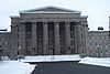
October 26, 1971 1213 Court St.
43°06′18″N 75°15′13″W / 43.105°N 75.253611°WUtica 63 Vernon Center Green Historic District September 19, 1985 Roughly bounded by Park St.
43°03′08″N 75°30′07″W / 43.052222°N 75.501944°WVernon 64 Vernon Methodist Church May 20, 1998 Jct. of NY 5 and Sconondoa St.
43°04′43″N 75°32′29″W / 43.078611°N 75.541389°WVernon 65 Baron von Steuben Memorial Site 
August 21, 2009 Starr Hill Road
43°20′18″N 75°13′57″W / 43.338461°N 75.232431°WRemsen New listing; refnum 09000635 66 Sylvan Beach Union Chapel July 24, 2009 805 Park Ave.
43°11′57″N 75°43′47″W / 43.199167°N 75.729722°WSylvan Beach 67 Waterville Triangle Historic District April 4, 1978 Stafford Ave., Main and White Sts.
42°55′50″N 75°22′43″W / 42.930556°N 75.378611°WWaterville 68 Gen. John G. Weaver House December 7, 1989 711 Herkimer Rd.
43°06′47″N 75°11′50″W / 43.113056°N 75.197222°WUtica 69 Welsh Calvinistic Methodist Church January 13, 1988 Prospect St.
43°19′34″N 75°11′02″W / 43.326111°N 75.183889°WRemsen 70 Western Town Hall 
November 7, 1995 Main St. at jct. with Stokes-Westernville Rd.
43°18′29″N 75°22′52″W / 43.308056°N 75.381111°WWesternville 71 Wethersfield Stone Schoolhouse September 7, 2005 NY 365
43°15′30″N 75°13′15″W / 43.258333°N 75.220833°WTrenton 72 Whitestown Town Hall November 26, 1973 8 Park Ave.
43°07′16″N 75°17′30″W / 43.121111°N 75.291667°WWhitesboro 73 Zion Church August 21, 1997 140 W. Liberty St.
43°12′46″N 75°27′29″W / 43.212778°N 75.458056°WRome See also
National Register of Historic Places listings in New York
References
- ^ The latitude and longitude information provided in this table was derived originally from the National Register Information System, which has been found to be fairly accurate for about 99% of listings. For about 1% of NRIS original coordinates, experience has shown that one or both coordinates are typos or otherwise extremely far off; some corrections may have been made. A more subtle problem causes many locations to be off by up to 150 yards, depending on location in the country: most NRIS coordinates were derived from tracing out latitude and longitudes off of USGS topographical quadrant maps created under North American Datum of 1927, which differs from the current, highly accurate GPS system used by Google maps. Chicago is about right, but NRIS longitudes in Washington are higher by about 4.5 seconds, and are lower by about 2.0 seconds in Maine. Latitudes differ by about 1.0 second in Florida. Some locations in this table may have been corrected to current GPS standards.
- ^ "National Register of Historic Places: Weekly List Actions". National Park Service, United States Department of the Interior. Retrieved on November 18, 2011.
- ^ Numbers represent an ordering by significant words. Various colorings, defined here, differentiate National Historic Landmark sites and National Register of Historic Places Districts from other NRHP buildings, structures, sites or objects.
Categories:- National Register of Historic Places in New York by county
- Oneida County, New York
-


Wikimedia Foundation. 2010.