- National Register of Historic Places listings in Essex County, New York
-
 Location of Essex County in New York
List of the National Register of Historic Places listings in Essex County, New York
This is intended to be a complete list of properties and districts listed on the National Register of Historic Places in Essex County, New York. The locations of National Register properties and districts (at least for all showing latitude and longitude coordinates below) may be seen in a Google map by clicking on "Map of all coordinates".[1] Seven of the properties and districts are further designated National Historic Landmarks and are indicated by light blue color in the table below.
-
- This National Park Service list is complete through NPS recent listings posted November 18, 2011.[2]
Contents: Counties in New York Albany (Albany) – Allegany – Bronx – Broome – Cattaraugus – Cayuga – Chautauqua – Chemung – Chenango – Clinton – Columbia – Cortland – Delaware – Dutchess – Erie (Buffalo) – Essex – Franklin – Fulton – Genesee – Greene – Hamilton – Herkimer – Jefferson – Kings (Brooklyn) – Lewis – Livingston – Madison – Monroe (Rochester) – Montgomery – Nassau – New York (Manhattan – Below 14th Street, 14th to 59th Streets, 59th to 110th Streets, Above 110th Street, Islands) – Niagara – Oneida – Onondaga (Syracuse) – Ontario – Orange – Orleans – Oswego – Otsego – Putnam – Queens – Rensselaer – Richmond (Staten Island) – Rockland – Saratoga – Schenectady – Schoharie – Schuyler – Seneca – St. Lawrence – Steuben – Suffolk – Sullivan – Tioga – Tompkins – Ulster – Warren – Washington – Wayne – Westchester (New Rochelle, Peekskill, Yonkers) – Wyoming – Yates Listings county-wide
[3] Landmark name Image Date listed Location City or town Summary 1 Adirondack Forest Preserve Adirondack Forest PreserveOctober 15, 1966 NE New York State
43°58′43″N 74°18′42″W / 43.978611°N 74.311667°WAll of Essex county is in the six million acre (24,000 km²) Adirondack Park. 2 Adirondack Iron and Steel Company 
October 5, 1977 Upper Works Rd.
44°04′41″N 74°03′22″W / 44.078056°N 74.056111°WTahawus The remains of the "Upper Works" iron foundry that date back to 1826. Iron from the site was contaminated with titanium, which, together with its isolation, made for an unprofitable venture. 3 Adsit Log House August 18, 1992 Point Rd. N of Ligonier Pt.
44°25′18″N 73°22′35″W / 44.421667°N 73.376389°WWillsboro Built by an American Revolutionary War veteran, one of oldest log cabins in the United States that still exists in its original location 4 Abraham Aiken House June 8, 1989 NY 22/Lakeshore Rd.
44°20′36″N 73°21′46″W / 44.343333°N 73.362778°WWillsboro 5 Amherst Avenue Historic District June 16, 1989 322-340 Amherst Ave.
43°50′38″N 73°25′34″W / 43.843889°N 73.426111°WTiconderoga 6 Ausable Club Ausable ClubJuly 6, 2005 137 Ausable Rd.
44°09′07″N 73°46′51″W / 44.151944°N 73.780833°WSt. Huberts The 1890 clubhouse of the Adirondack Mountain Reserve, which was formed in 1887 to save 25,000 acres (100 km2) of the Adirondack High Peaks from lumbering. The Reserve once owned most of the High Peaks; it still owns 7,000 acres (28 km2), and provides public access to many high peaks trails. 7 Beer's Bridge 
November 12, 1999 Private Rd. off NY 73 over AuSable R.
44°10′11″N 73°46′57″W / 44.16972°N 73.7825°WKeene Valley 8 Black Watch Library 
November 15, 1988 161 Montcalm St.
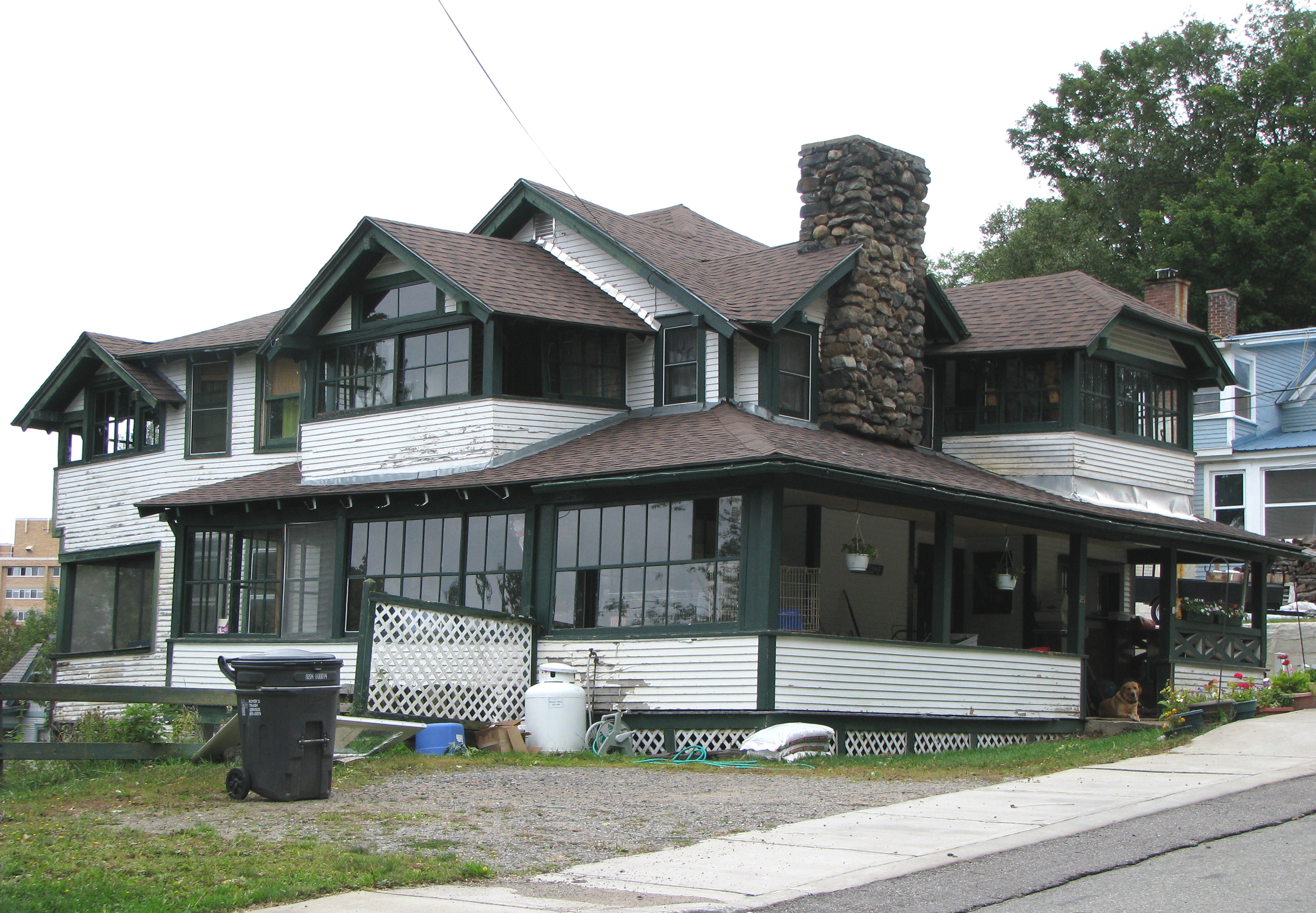
43°50′54″N 73°25′34″W / 43.848333°N 73.426111°WTiconderoga 9 Bogie Cottage 
November 6, 1992 59 Franklin St.
44°19′30″N 74°07′33″W / 44.325°N 74.125833°WSaranac Lake (North Elba) A 1908, American Craftsman-inspired "cure cottage" 10 John Brown Farm and Gravesite John Brown Farm and GravesiteJune 19, 1972 John Brown Rd.
44°14′58″N 73°58′23″W / 44.249444°N 73.973056°WLake Placid The home from 1849, and final resting place, of abolitionist John Brown. 11 H. G. Burleigh House November 15, 1988 307 Champlain Ave.
43°50′45″N 73°25′27″W / 43.845833°N 73.424167°WTiconderoga 12 Camp Dudley Road Historic District October 21, 1993 Roughly bounded by NY 22, Stacy Br., Lake Champlain and the Westport village line
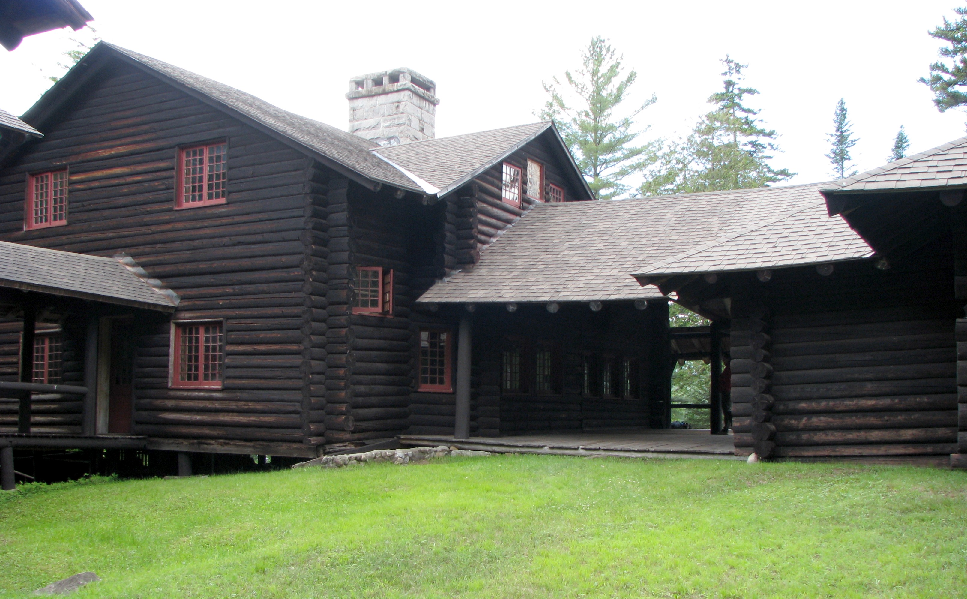
44°09′15″N 73°25′04″W / 44.154167°N 73.417778°WWestport 13 Camp Santanoni 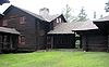
April 3, 1987 N of NY 28N
43°59′35″N 74°08′45″W / 43.993056°N 74.145833°WNewcomb A 13,000-acre (53 km2) preserve and Adirondack Great Camp established between 1892 and 1905 by Albany banker and businessman Robert C. Pruyn. 14 Central Powerhouse June 1, 1995 Jct. of Tracy Rd. and New Bed Rd., SE corner, Town of Moriah
44°05′23″N 73°32′13″W / 44.089722°N 73.536944°WWitherbee 15 Central School November 15, 1988 324 Champlain Ave.
43°50′40″N 73°25′25″W / 43.844444°N 73.423611°WTiconderoga 16 CHAMPLAIN II Shipwreck 
September 15, 1997 Address Restricted
44°12′21″N 73°22′39″W / 44.205833°N 73.3775°WWestport 17 Church of the Nazarene June 19, 1973 W of Essex on NY 22
44°18′07″N 73°24′07″W / 44.301944°N 73.401944°WEssex Built in 1855 as St. John's Episcopal Church, it became the Union Church at Boquet Chapel in 1880, the Church of the Nazarene in 1949 and Foothills Baptist Church in 2005.[4] 18 Clark House (Ticonderoga) 
November 15, 1988 331 Montcalm St.
43°50′54″N 73°26′32″W / 43.848333°N 73.442222°WTiconderoga 19 Peyton Clark Cottage 
November 6, 1992 9 Rockledge Rd.
44°19′48″N 74°07′21″W / 44.33°N 74.1225°WSaranac Lake (St. Armand) A 1915 large, Tudor-style, 2 and 1/2 story "cure cottage" designed by William H. Scopes. The owner was a civil engineer whose wife had tuberculosis. 20 Community Building 
November 15, 1988 Montcalm and Champlain Sts.
43°50′54″N 73°26′18″W / 43.848333°N 73.438333°WTiconderoga 21 Coulter Cottage 
November 6, 1992 34 Shepard Ave.
44°19′32″N 74°07′35″W / 44.325556°N 74.126389°WSaranac Lake (North Elba) A two and 1/2 story "cure cottage" designed by William L. Coulter and built between 1897 and 1899 as his residence. 22 Clayton H. Delano House 
November 15, 1988 25 Father Jogues Pl.
43°50′50″N 73°25′37″W / 43.847222°N 73.426944°WTiconderoga 23 Crandall Marine Railway Crandall Marine RailwayMay 4, 2011 11 Dry Dock Lane
43°48′27″N 73°26′55″W / 43.8075°N 73.448611°WTiconderoga vicinity New listing; refnum 11000251 24 Delaware & Hudson Railroad Depot 
June 1, 1995 Park Pl., Town of Moriah
44°02′33″N 73°27′31″W / 44.0425°N 73.458611°WPort Henry Stone 1888 D&H station also used as community meeting place and senior center 25 Delaware & Hudson Railroad Depot - Ticonderoga 
April 9, 1992 126 Champlain Avenue
43°50′51″N 73°25′22″W / 43.8475°N 73.422778°WTiconderoga An intact 1913 Prairie-style Railroad Station 26 Denny Cottage 
November 6, 1992 76 Bloomingdale Ave.
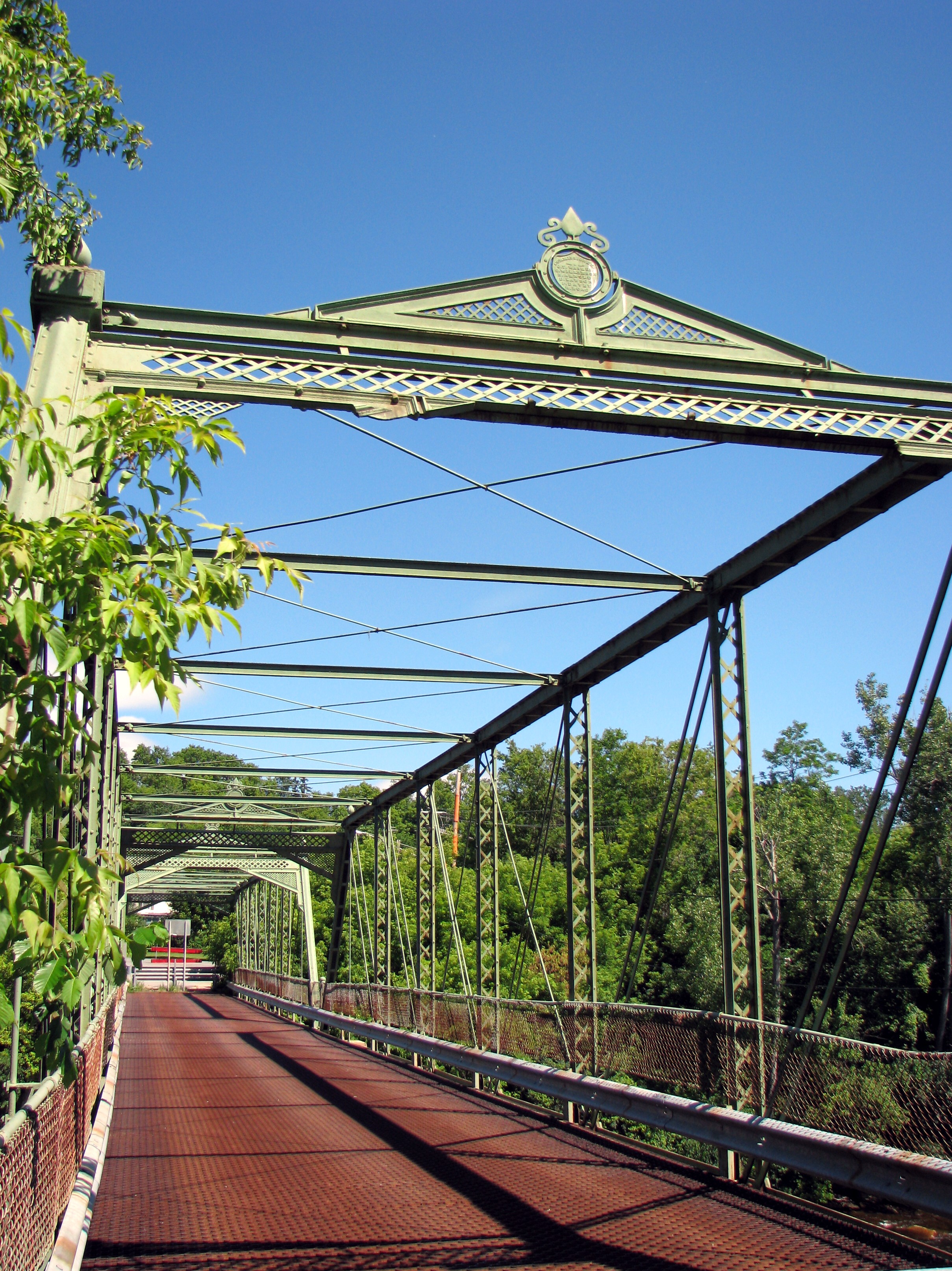
44°20′24″N 74°07′38″W / 44.34°N 74.127222°WSaranac Lake (St. Armand) A "cure cottage" built about 1910. 27 Double-Span Metal Pratt Truss Bridge 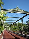
May 20, 1983 AuSable St.
44°30′01″N 73°29′07″W / 44.500278°N 73.485278°WKeeseville 28 Edgewater Farm February 17, 1988 470 Point Rd.
44°24′05″N 73°23′04″W / 44.401389°N 73.384444°WWillsboro Point 29 Essex County Fairgrounds 
September 7, 2005 3 Sisco St.
44°11′11″N 73°26′56″W / 44.186389°N 73.448889°WWestport 30 Essex County Home and Farm September 23, 1982 SW of Whallonsburg on NY 22
44°15′23″N 73°24′38″W / 44.256389°N 73.410556°WWhallonsburg 31 Essex Village Historic District May 28, 1975 Town of Essex and surroundings on W bank of Lake Champlain
44°18′44″N 73°21′10″W / 44.312222°N 73.352778°WEssex 32 Fallon Cottage Annex 
November 6, 1992 31 Franklin St.
44°19′36″N 74°07′34″W / 44.326667°N 74.126111°WSaranac Lake (North Elba) A 1901 "cure cottage".[5] 33 Ferris House November 15, 1988 16 Carillon Rd.
43°50′25″N 73°25′23″W / 43.840278°N 73.423056°WTiconderoga 34 First Congregational and Presbyterian Society Church of Westport December 19, 1988 Main St./CR 10
44°13′50″N 73°27′33″W / 44.230556°N 73.459167°WWestport 35 First Congregational Church and Cemetery January 5, 2005 NY 9 at Elizabeth-Lewis Rd.
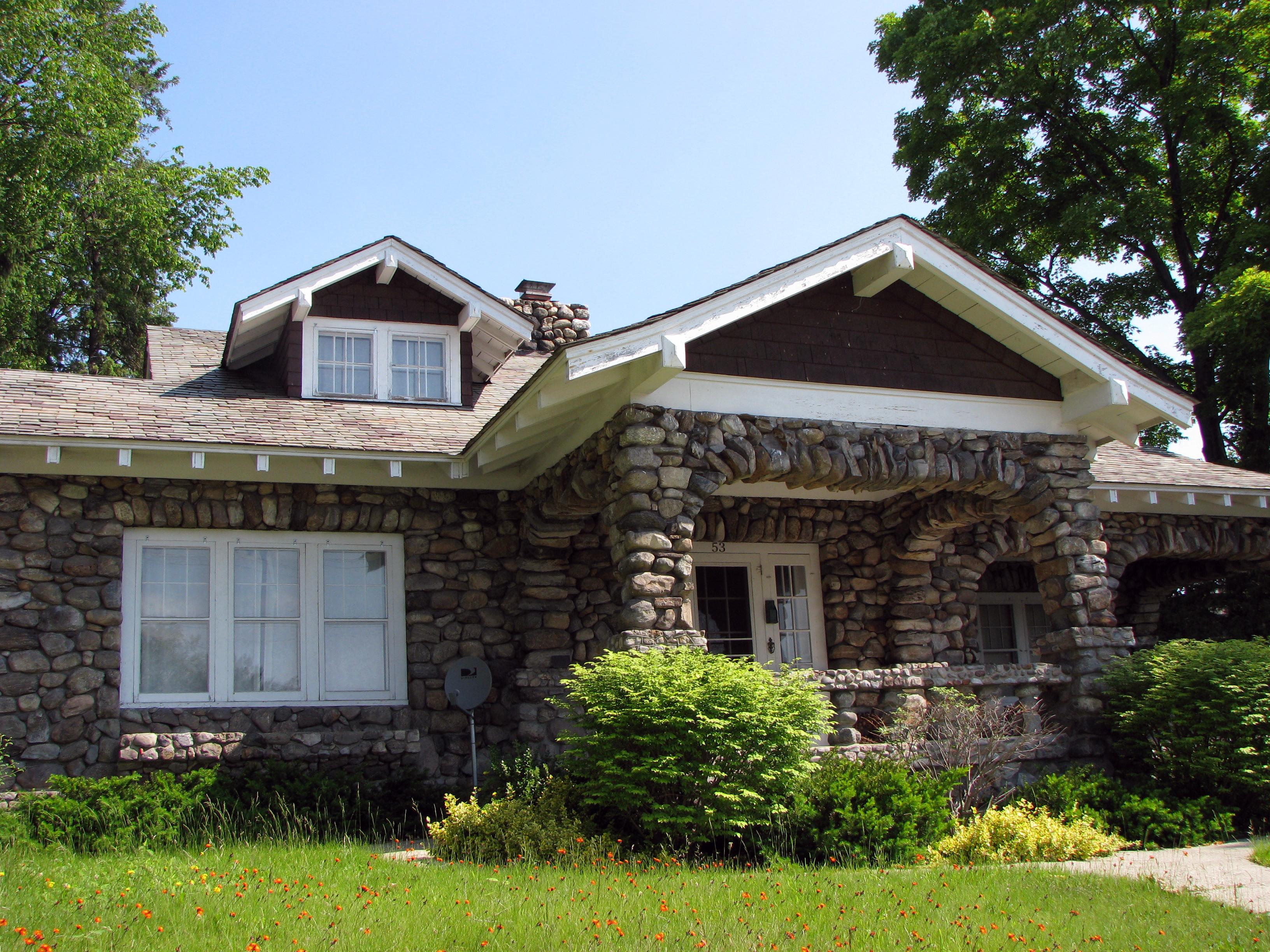
44°16′40″N 73°34′05″W / 44.277778°N 73.568056°WLewis 36 Flat Rock Camp July 26, 2006 7 Willsboro Point Rd.
44°22′34″N 73°22′14″W / 44.376111°N 73.370556°WWillsboro An Adirondack Great Camp 37 Fort Crown Point 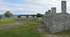
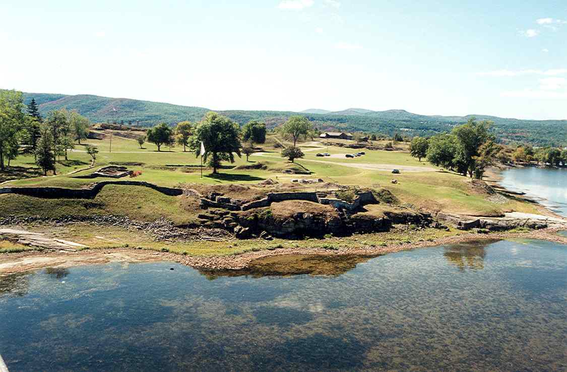
November 24, 1968 Crown Point Reservation, SW of Lake Champlain Bridge and NY 8
44°00′21″N 73°25′42″W / 44.005833°N 73.428333°WCrown Point A British fort built in 1759 to secure the region against the French. 38 Fort St. Frederic 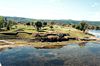
October 15, 1966 Jct. of NY 8 and 9N
44°01′43″N 73°25′22″W / 44.028611°N 73.422778°WCrown Point A French fort started in 1734 to gain control of the New France/Vermont border region in the Lake Champlain Valley. The walls were twelve feet thick and four stories high, with cannons on each level, manned by over a thousand officers and men.[6] 39 Fort Ticonderoga 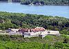
October 15, 1966 2.5 mi (4.0 km). S of Ticonderoga on NY 22
43°50′00″N 73°23′45″W / 43.833333°N 73.395833°WTiconderoga A large 18th-century fort built by the French starting in 1755 that controlled both commonly used trade routes between the English-controlled Hudson River Valley and the French-controlled Saint Lawrence River Valley. It played a part in the American Revolutionary War. 40 Frazier Bridge December 17, 1998 Champlain Ave., at Lachute R.
43°51′01″N 73°25′21″W / 43.850278°N 73.4225°WTiconderoga 41 Samson Fried Estate February 26, 1987 NY 74
43°52′32″N 73°42′54″W / 43.875556°N 73.715°WSeverance 42 Gilligan and Stevens Block November 15, 1988 115 Montclam St.
43°50′56″N 73°25′30″W / 43.848889°N 73.425°WTiconderoga 43 Hancock House 
November 15, 1988 Montcalm and Wicker Sts.
43°50′54″N 73°26′06″W / 43.848333°N 73.435°WTiconderoga 44 Hand-Hale Historic District 
March 5, 1979 River and Maple Sts.
44°12′54″N 73°35′19″W / 44.215°N 73.588611°WElizabethtown 45 Highland Park Historic District 
November 6, 1992 Roughly, Park Ave. from Military Rd. to 170 Park Ave.
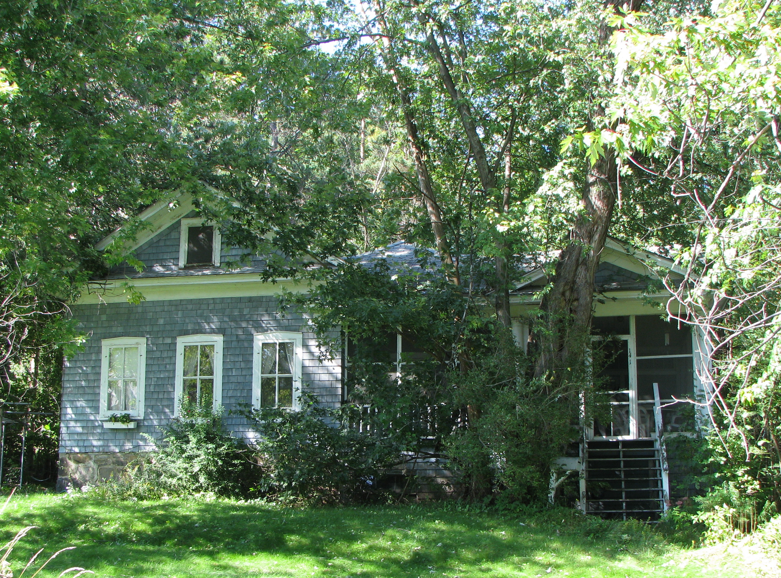
44°20′10″N 74°07′32″W / 44.336111°N 74.125556°WSaranac Lake (St. Armand) Seventeen private, single-family homes built between 1896 and 1930; most include "cure cottage" features. 46 Hill Cottage 
November 6, 1992 36 Franklin Ave.
44°19′36″N 74°07′32″W / 44.326667°N 74.125556°WSaranac Lake (Harrietstown) A 1913 Craftsman-style "cure cottage". 47 Hubbard Hall 
January 21, 1999 Court St.
44°12′56″N 73°35′33″W / 44.215556°N 73.5925°WElizabethtown Burned to the ground, 1/2011[7] 48 Hurricane Mountain Fire Observation Station 
January 29, 2007 Hurricane Mountain Summit
44°14′06″N 73°42′38″W / 44.235°N 73.710556°WKeene A 35-foot (11 m) fire tower built in 1919 on 3,964-foot (1,208 m) Hurricane Mountain. 49 Ironville Historic District December 27, 1974 Area surrounding Ironville including Furnace St. and Penfield Pond
43°55′17″N 73°32′07″W / 43.921389°N 73.535278°WIronville 50 Keene Valley Library 
December 13, 2000 Main St.
44°11′25″N 73°47′11″W / 44.190278°N 73.786389°WKeene Valley 51 Keeseville Historic District 
May 20, 1983 Roughly bounded by Vine, Chesterfield, Clinton, Hill, Pleasant, Front, and Beech Sts.
44°30′16″N 73°28′58″W / 44.504444°N 73.482778°WKeeseville 52 Kennedy Cottage 
November 6, 1992 26 Shepard St.
44°19′37″N 74°07′36″W / 44.326944°N 74.126667°WSaranac Lake (North Elba) A 1987 "cure cottage" that was used by the National Vaudeville Artists Philanthropic Association prior to the construction of the Will Rogers Hospital. 53 Lake George Avenue Historic District 
June 16, 1989 301-331 Lake George Ave.
43°50′44″N 73°25′43″W / 43.845556°N 73.428611°WTiconderoga 54 Lane Cottage 
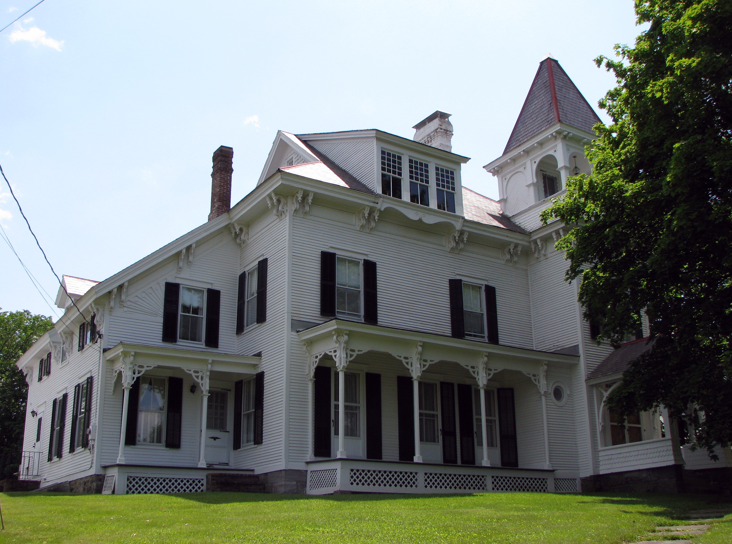
November 6, 1992 4 Rockledge Rd.
44°19′47″N 74°07′22″W / 44.329722°N 74.122778°WSaranac Lake (North Elba) A 1923 "cure cottage" built by Edward Shaw for his wife, who had tuberculosis. The Shaws had two young children; fearing that they would contract TB from Mrs. Shaw, a separate house was built for them, nearby. 55 Dr. Henry Leetch House 
November 6, 1992 3 Johnson Rd.
44°19′35″N 74°7′14″W / 44.32639°N 74.12056°WSaranac Lake (North Elba) A 1932 "cure cottage" designed by William L. Distin for Dr. Henry Leetch, who specialized in treating tuberculosis, and who had the disease himself. 56 Lent Cottage 
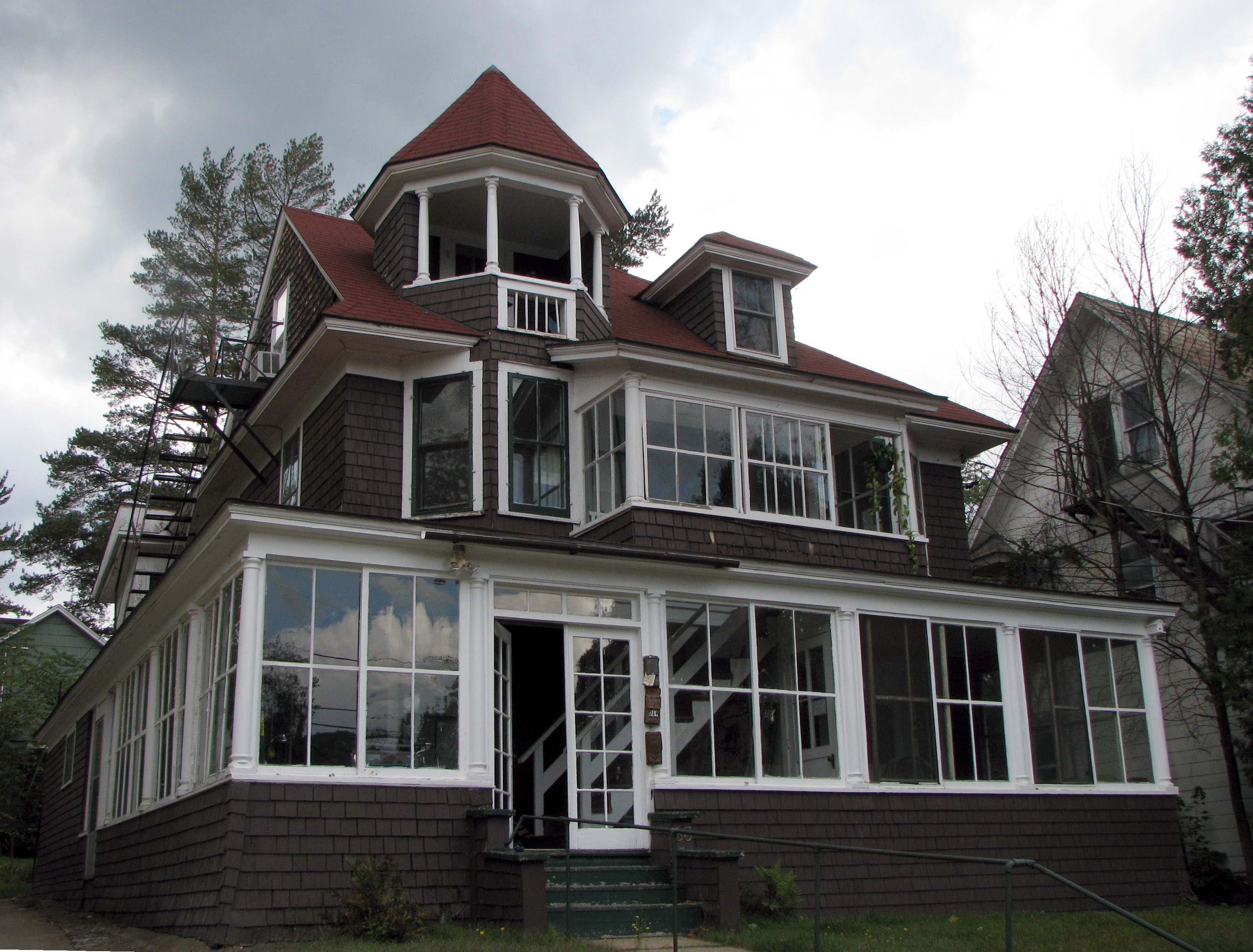
November 6, 1992 18 Franklin Ave.
44°19′43″N 74°07′33″W / 44.328611°N 74.125833°WSaranac Lake (North Elba) An apartment house, built about 1920 as a "cure cottage" 57 Liberty Monument 
November 16, 1989 NY 9N at Montcalm St.
43°50′53″N 73°26′07″W / 43.848056°N 73.435278°WTiconderoga 58 Marquay Cottage 
November 6, 1992 6 Slater St.
44°19′18″N 74°07′20″W / 44.321667°N 74.122222°WSaranac Lake (North Elba) A 1914, Queen Anne-style "cure cottage" built of rusticated cast-concrete blocks, with an octagonal corner tower. 59 Marvin Cottage 
November 6, 1992 15 Franklin St.
44°19′43″N 74°07′36″W / 44.328611°N 74.126667°WSaranac Lake (North Elba) A "cure cottage" built about 1900. 60 Silas B. Moore Gristmill November 15, 1988 218 Montcalm St.
43°50′53″N 73°25′41″W / 43.848056°N 73.428056°WTiconderoga 61 Moriah Town Office Building May 18, 1995 Cedar St., Town of Moriah
44°2′56″N 73°27′44″W / 44.04889°N 73.46222°WPort Henry 62 Mount Adams Fire Observation Station April 12, 2006 Mount Adams
44°04′52″N 74°03′21″W / 44.081111°N 74.055833°WNewcomb 63 Mount Moriah Presbyterian Church June 1, 1995 Jct. of Church and S. Main Sts., NW corner, Town of Moriah
44°02′53″N 73°27′39″W / 44.048056°N 73.460833°WPort Henry 64 Mount Van Hoevenberg Olympic Bobsled Run 
February 4, 2010 200 Bob Run Lane
44°13′11″N 73°55′15″W / 44.219753°N 73.920872°WLake Placid New listing; refnum 10000008 65 New York Central Railroad Adirondack Division Historic District 
December 23, 1993 NYCRR Right-of-Way from Remsen to Lake Placid
44°16′34″N 73°59′09″W / 44.276111°N 73.985833°WNYCRR Right-of-Way The New York Central Adirondack Line ended in Lake Placid. There are extant stations in Ray Brook and Lake Placid; the Adirondack Scenic Railroad runs a tourist train between Lake Placid and the station in Saranac Lake. 66 Notman Bridge 
November 12, 1999 Country Club Rd. over AuSable R.
44°11′29″N 73°47′05″W / 44.191389°N 73.784722°WKeene Valley 67 NYS Armory November 15, 1988 315 Champlain Ave.
43°50′42″N 73°25′29″W / 43.845°N 73.424722°WTiconderoga 68 Octagonal Schoolhouse January 17, 1973 On Rte. 22 in Bouquet
44°18′14″N 73°24′08″W / 44.303889°N 73.402222°WEssex An 1827 stone octagonal school building 69 Pad Factory November 15, 1988 109 Lake George Ave.
43°50′53″N 73°25′39″W / 43.848056°N 73.4275°WTiconderoga 70 Partridge Cottage 
March 31, 1992 15 South St.
44°19′27″N 74°07′27″W / 44.324167°N 74.124167°WSaranac Lake (North Elba) A 1925 Colonial Revival apartment house, with three apartments used as a cure cottages for three families. 71 Pittenger Cottage 
November 6, 1992 14 Forest Hill Ave.
44°19′43″N 74°07′19″W / 44.328611°N 74.121944°WSaranac Lake (North Elba) A "cure cottage" with five cure porches, built about 1920. 72 Poke-O-Moonshine Mountain Fire Observation Station September 23, 2001 Poke-O-Moonshine Mountain
44°23′16″N 73°30′29″W / 44.387778°N 73.508056°WChesterfield 73 Port Henry Fire Department Building June 1, 1995 33 Broad St., Town of Moriah
44°02′56″N 73°27′44″W / 44.048889°N 73.462222°WPort Henry 74 Ranney Bridge 
November 12, 1999 Private Rd. off NY 73 over East Branch of AuSable R.
44°10′55″N 73°47′03″W / 44.181944°N 73.784167°WKeene Valley 75 Rembrandt Hall May 20, 1983 Clinton St.
44°30′07″N 73°28′39″W / 44.501944°N 73.4775°WKeeseville 76 Sheldon-Owens Farm April 1, 1993 Lake Shore Rd. SE of jct. with Middle and West Rds.
44°20′44″N 73°22′28″W / 44.345556°N 73.374444°WWillsboro 77 Sherman Free Library June 1, 1995 4 Church St., Town of Moriah
44°02′51″N 73°27′38″W / 44.0475°N 73.460556°WPort Henry 78 Slater Bridge Slater BridgeNovember 12, 1999 East Branch of AuSable R. off St. Hubert's Rd.
44°09′31″N 73°46′40″W / 44.158611°N 73.777778°WKeene Valley 79 Spitfire (gunboat) July 24, 2008 Address restricted Lake Champlain Shared with Clinton County (new listing, refnum 08000694) 80 Stevenson Cottage 
November 6, 1992 Stevenson Ln.
44°19′51″N 74°07′26″W / 44.330833°N 74.123889°WSaranac Lake (St. Armand) A "cure cottage" used by Robert Louis Stevenson in 1887. 81 Stone Arch Bridge 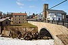
November 12, 1999 Main St. over AuSable R.
44°30′19″N 73°28′52″W / 44.505278°N 73.481111°WKeeseville 82 Stuckman Cottage 
November 6, 1992 6 Clinton Ave.
44°19′39″N 74°07′28″W / 44.3275°N 74.124444°WSaranac Lake (North Elba) A "cure cottage" built between 1897 and 1900. 83 Swing Bridge 
November 12, 1999 Over AuSable R. between Clinton and S. AuSable Sts.
44°30′13″N 73°28′58″W / 44.503611°N 73.482778°WKeeseville 84 Ticonderoga High School November 15, 1988 Calkins Pl.
43°50′32″N 73°25′40″W / 43.842222°N 73.427778°WTiconderoga 85 Ticonderoga National Bank 
November 15, 1988 101 Montcalm St.
43°50′51″N 73°25′26″W / 43.8475°N 73.423889°WTiconderoga 86 Ticonderoga Pulp and Paper Company Office 
November 15, 1988 Montcalm St.
43°50′55″N 73°25′17″W / 43.848611°N 73.421389°WTiconderoga 87 Tomlinson House May 20, 1983 Kent St.
44°30′10″N 73°28′41″W / 44.502778°N 73.478056°WKeeseville 88 Trudeau Sanatorium 
April 20, 1995 Trudeau Rd.
44°20′31″N 74°07′21″W / 44.341944°N 74.1225°WSaranac Lake (St. Armand) A tuberculosis sanitorium established in 1882 by Dr. Edward Livingston Trudeau, originally called the Adirondack Cottage Sanatorium. 89 US Post Office-Lake Placid 
November 17, 1988 201 Main St.
44°17′07″N 73°59′02″W / 44.285278°N 73.983889°WLake Placid 90 US Post Office-Ticonderoga May 11, 1989 123 Champlain Ave.
43°50′51″N 73°25′26″W / 43.8475°N 73.423889°WTiconderoga 91 Van Ornam & Murdock Block November 14, 1982 Main St.
44°02′54″N 73°27′36″W / 44.048333°N 73.46°WPort Henry 92 Walton Bridge 
November 12, 1999 Dr. Ray Rd. access over AuSable R.
44°14′41″N 73°47′53″W / 44.244722°N 73.798056°WKeene 93 Elkanah Watson House 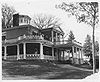
October 15, 1966 3 mi (4.8 km). east of U.S. 9
44°31′30″N 73°24′21″W / 44.525°N 73.405833°WPort Kent Home of Elkanah Watson, Revolutionary-era diplomat, founder of the county fair and early promoter of canals, who occupied it in May, 1828. Designed by Sheldon & Merritt and constructed under the supervision of Watson's son Charles. 94 Wells Memorial Library Wells Memorial LibraryMay 18, 2011 12230 NY 9N
44°20′17″N 73°46′25″W / 44.338056°N 73.773611°WUpper Jay New listing; refnum 11000289 95 Wellscroft January 28, 2004 158 NY 9N
44°20′37″N 73°46′21″W / 44.343611°N 73.7725°WUpper Jay 96 Whiteface Veterans Memorial Highway Complex 
October 10, 2008 New York State Route 431
44°23′59″N 73°51′49″W / 44.399772°N 73.863639°WWilmington Highest road in state built to honor WWI veterans in late 1920s. 97 Will Rogers Memorial Hospital 
September 8, 1983 NY 86
44°18′39″N 74°06′51″W / 44.310833°N 74.114167°WSaranac Lake (North Elba) A 100-bed tuberculosis sanitarium for vaudeville performers built by the National Vaudeville Artists in 1930.[8] 98 Willsboro Congregational Church 
May 31, 1984 NY 22
44°21′49″N 73°23′35″W / 44.363611°N 73.393056°WWillsboro 99 The Willsboro School The Willsboro SchoolMarch 31, 2010 10 Gilliland Lane (formerly 29 School St.)
44°21′53″N 73°23′24″W / 44.364758°N 73.390044°WWillsboro New listing; refnum 10000135 100 Wilmington Bridge November 12, 1999 NY 86 over AuSable R.
44°23′20″N 73°49′04″W / 44.388889°N 73.817778°WWilmington 101 Witherbee Memorial Hall April 22, 1991 Broad St. E of jct. with Office Rd.
44°05′17″N 73°31′41″W / 44.088056°N 73.528056°WMineville See also
References
- ^ The latitude and longitude information provided in this table was derived originally from the National Register Information System, which has been found to be fairly accurate for about 99% of listings. For about 1% of NRIS original coordinates, experience has shown that one or both coordinates are typos or otherwise extremely far off; some corrections may have been made. A more subtle problem causes many locations to be off by up to 150 yards, depending on location in the country: most NRIS coordinates were derived from tracing out latitude and longitudes off of USGS topographical quadrant maps created under North American Datum of 1927, which differs from the current, highly accurate GPS system used by Google maps. Chicago is about right, but NRIS longitudes in Washington are higher by about 4.5 seconds, and are lower by about 2.0 seconds in Maine. Latitudes differ by about 1.0 second in Florida. Some locations in this table may have been corrected to current GPS standards.
- ^ "National Register of Historic Places: Weekly List Actions". National Park Service, United States Department of the Interior. Retrieved on November 18, 2011.
- ^ Numbers represent an ordering by significant words. Various colorings, defined here, differentiate National Historic Landmark sites and National Register of Historic Places Districts from other NRHP buildings, structures, sites or objects.
- ^ The Press Republican - Tour of Essex churches today
- ^ Gallos, Phillip L., Cure Cottages of Saranac Lake, Historic Saranac Lake, 1985, ISBN 0-9615159-0-2.
- ^ p. 18, Folwell, Elizabeth, and Amy Godine, Adirondack Odysseys, The Adirondack Museum, Blue Mountain Lake, New York, 1997, ISBN 0-936399-78-3
- ^ http://pressrepublican.com/0100_news/x1100994401/Hubbard-Hall-being-demolished
- ^ History of Saranac Lake
Categories:- National Register of Historic Places in New York by county
- Essex County, New York
-


Wikimedia Foundation. 2010.