- National Register of Historic Places listings in Albany County, New York
-
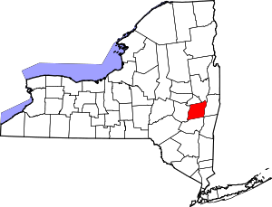 Location of Albany County in New York
National Register of Historic Places listings in Albany County, New York exclusive of the City of Albany: This is intended to be a complete list of properties and districts listed on the National Register of Historic Places in Albany County, New York, besides those in the City of Albany, itself (which are listed here).
The locations of National Register properties and districts (at least for all showing latitude and longitude coordinates below) may be seen in a Google map by clicking on "Map of all coordinates".[1]
-
- This National Park Service list is complete through NPS recent listings posted November 18, 2011.[2]
Contents: Counties in New York Albany (Albany) – Allegany – Bronx – Broome – Cattaraugus – Cayuga – Chautauqua – Chemung – Chenango – Clinton – Columbia – Cortland – Delaware – Dutchess – Erie (Buffalo) – Essex – Franklin – Fulton – Genesee – Greene – Hamilton – Herkimer – Jefferson – Kings (Brooklyn) – Lewis – Livingston – Madison – Monroe (Rochester) – Montgomery – Nassau – New York (Manhattan – Below 14th Street, 14th to 59th Streets, 59th to 110th Streets, Above 110th Street, Islands) – Niagara – Oneida – Onondaga (Syracuse) – Ontario – Orange – Orleans – Oswego – Otsego – Putnam – Queens – Rensselaer – Richmond (Staten Island) – Rockland – Saratoga – Schenectady – Schoharie – Schuyler – Seneca – St. Lawrence – Steuben – Suffolk – Sullivan – Tioga – Tompkins – Ulster – Warren – Washington – Wayne – Westchester (New Rochelle, Peekskill, Yonkers) – Wyoming – Yates Listings in Albany County outside of Albany the city
[3] Landmark name Image Date listed Location City or town Summary 1 Albany Glassworks Site 
July 22, 1980 Address Restricted Guilderland 2 Albany Rural Cemetery 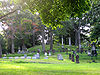
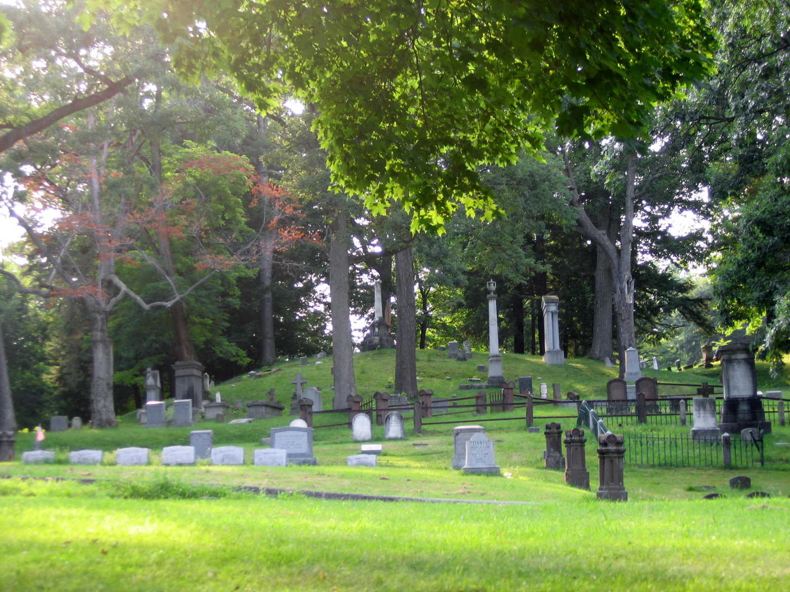
October 25, 1979 Cemetery Ave.
42°42′21″N 73°44′12″W / 42.705833°N 73.736667°WColonie 3 Alcove Historic District 
July 24, 1980 SR 11 and Alcove Rd.
42°28′10″N 73°55′36″W / 42.469444°N 73.926667°WAlcove 4 Altamont Historic District November 10, 1982 Main St. between Thacher Dr. and the RR station
42°42′06″N 74°01′51″W / 42.701667°N 74.030833°WGuilderland 5 Apple Tavern November 10, 1982 4450 Altamont Rd.
42°42′37″N 73°58′28″W / 42.710278°N 73.974444°WGuilderland 6 Aumic House November 10, 1982 Leesome Ln.
42°41′15″N 74°02′05″W / 42.6875°N 74.034722°WGuilderland 7 Dr. John Babcock House December 10, 2003 101 Lasher Rd.
42°32′58″N 73°48′47″W / 42.549444°N 73.813056°WSelkirk 8 Bacon-Stickney House October 3, 1985 441 Loudon Rd.
42°42′23″N 73°45′18″W / 42.706389°N 73.755°WColonie 9 Bennett Hill Farm December 5, 2003 Bennett Hill Rd. at Rowe Rd.
42°34′13″N 73°57′22″W / 42.570278°N 73.956111°WNew Scotland 10 Bethlehem Grange No. 137 January 11, 2002 24 Bridge St.
42°32′54″N 73°48′38″W / 42.548333°N 73.810556°WSelkirk 11 Bethlehem House April 11, 1973 E of Bethlehem off NY 144
42°32′38″N 73°46′00″W / 42.543889°N 73.766667°WBethlehem 12 Fletcher Blaisdell Farm Complex March 12, 2001 Westerlo St.
42°28′20″N 73°48′00″W / 42.472222°N 73.8°WCoeymans 13 Bryan's Store October 4, 1979 435 Loudon Rd.
42°42′20″N 73°45′17″W / 42.705556°N 73.754722°WLoudonville 14 Senator William T. Byrne House October 3, 1985 463 Loudon Rd.
42°42′35″N 73°45′19″W / 42.709722°N 73.755278°WColonie 15 Chapel House November 10, 1982 Western Ave.
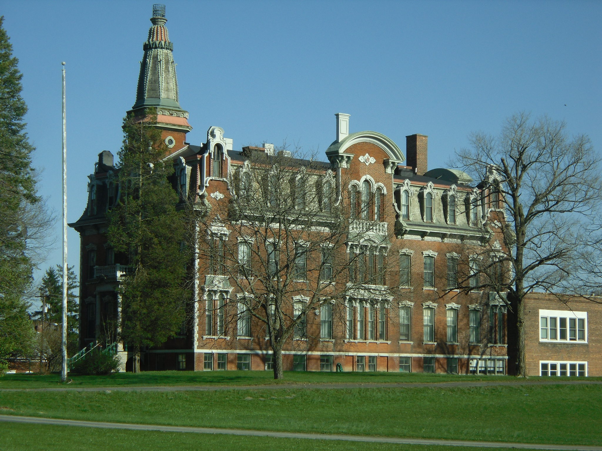
42°40′55″N 73°49′51″W / 42.681944°N 73.830833°WGuilderland 16 Clarksville Elementary School July 3, 2008 58 Verda Lane
42°34′38″N 73°57′16″W / 42.577303°N 73.954325°WClarksville Modern Movement-style school built in 1949 17 Coeymans School 
December 29, 1970 SW corner of Westerlo St. and Civill Ave.
42°28′22″N 73°47′55″W / 42.472778°N 73.798611°WCoeymans 18 Ariaanje Coeymans House October 18, 1972 Stone House Rd.
42°28′35″N 73°47′32″W / 42.476389°N 73.792222°WCoeymans 19 Coeymans-Bronck Stone House November 15, 2003 NY 144
42°27′59″N 73°47′30″W / 42.466389°N 73.791667°WCoeymans 20 Coppola House November 10, 1982 Leesome Ln.
42°41′28″N 74°02′32″W / 42.691111°N 74.042222°WGuilderland 21 Frederick Cramer House October 3, 1985 410 Albany-Shaker Rd.
42°41′53″N 73°46′12″W / 42.698056°N 73.77°WColonie 22 Frederick Crouse House November 10, 1982 3960 Altamont-Voorheesville Rd.
42°40′49″N 74°01′13″W / 42.680278°N 74.020278°WGuilderland 23 Jacob Crouse Inn November 10, 1982 3933 Altamont Rd.
42°42′18″N 74°01′10″W / 42.705°N 74.019444°WGuilderland 24 John and Henry Crouse Farm Complex November 10, 1982 3970 Altamont-Voorheesville Rd.
42°40′33″N 74°01′01″W / 42.675833°N 74.016944°WGuilderland 25 D. D. T. Moore Farmhouse October 4, 1979 352 Loudon Rd.
42°41′36″N 73°45′20″W / 42.693333°N 73.755556°WLoudonville 26 Delaware and Hudson Railroad Freight House February 20, 1998 116 Saratoga Ave.
42°46′20″N 73°41′56″W / 42.772222°N 73.698889°WCohoes 27 Delaware and Hudson Railroad Passenger Station 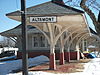
August 12, 1971 Main St. and the Delaware and Hudson RR
42°42′03″N 74°01′59″W / 42.700833°N 74.033056°WAltamont 28 William J. Dickey House 
February 20, 1998 16 Imperial Ave.
42°46′16″N 73°42′23″W / 42.771111°N 73.706389°WCohoes Intact 1890 Stick-Eastlake home with jerkined front roof built for textile mill manager. 29 District School No. 1 May 20, 1998 NY 144
42°33′11″N 73°46′12″W / 42.553056°N 73.77°WBethlehem 30 District School No. 7 
May 16, 1996 NY 143, approximately .25 mi. W of jct. with Co. Rt. 103
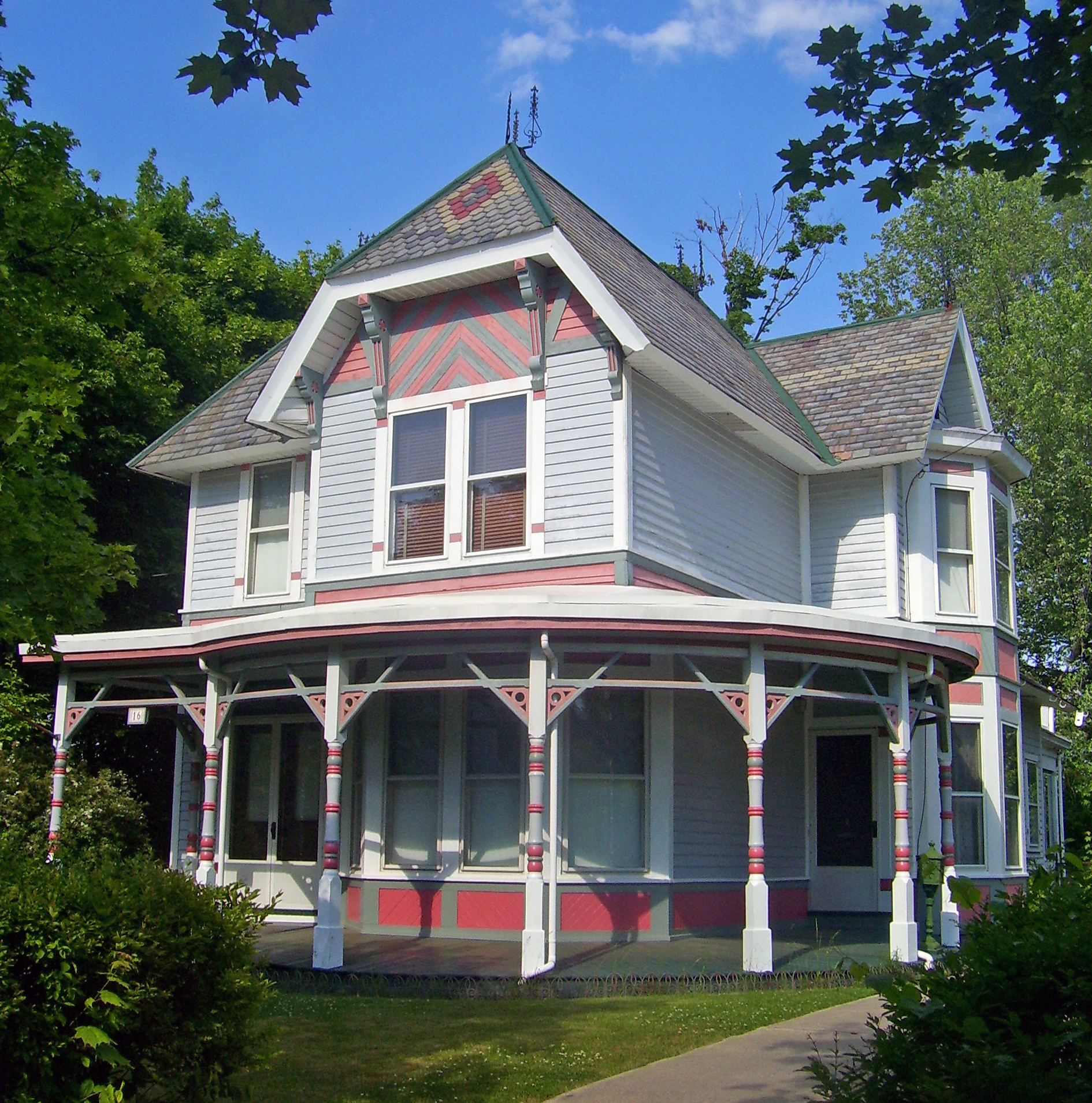
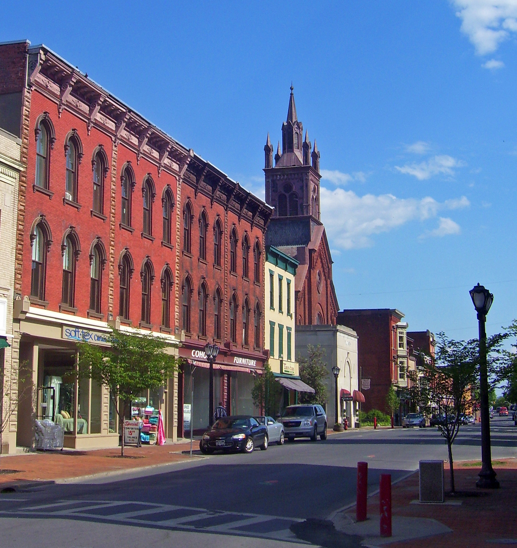
42°28′26″N 73°54′01″W / 42.473889°N 73.900278°WCoeymans Hollow 31 Downtown Cohoes Historic District 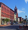
September 13, 1984 Roughly bounded by Oneida, Van Rensselaer, Columbia, Main, and Olmstead Sts.
42°46′24″N 73°42′03″W / 42.773333°N 73.700833°WCohoes 1820-1930 core of community showing effects of development started by canal and textile industry 32 Martin Dunsbach House October 3, 1985 140 Dunsbach Ferry Rd.
42°47′06″N 73°45′25″W / 42.785°N 73.756944°WColonie 33 Enlarged Erie Canal Historic District (Discontiguous) May 14, 2004 City of Cohoes, roughly from S to NW city boundary
42°51′20″N 73°42′09″W / 42.855556°N 73.7025°WCohoes 34 Fine Arts and Flower Building Altamont Fairground January 28, 2004 Altamont Fairgrounds, vic. of Grand St.
42°41′54″N 74°01′46″W / 42.698333°N 74.029444°WVillage of Altamont 35 Fonda House April 21, 2004 55 Western Ave.
42°46′09″N 73°43′41″W / 42.769167°N 73.728056°WCohoes 36 Freeman House November 10, 1982 136 Main St.
42°42′08″N 73°57′50″W / 42.702222°N 73.963889°WGuilderland 37 Fuller's Tavern November 10, 1982 6861 Western Tpk.
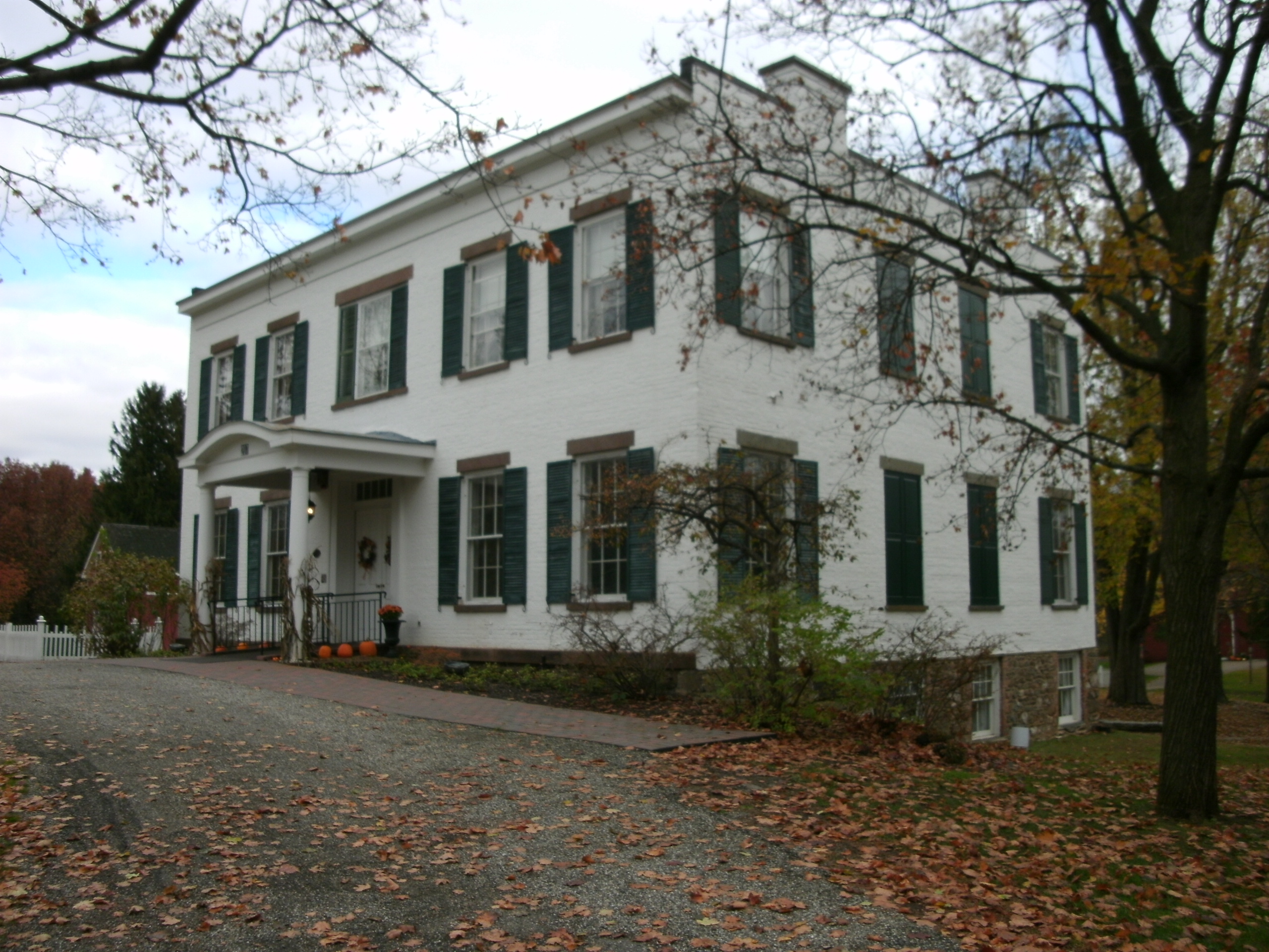
42°43′12″N 73°57′26″W / 42.72°N 73.957222°WGuilderland 38 Royal K. Fuller House October 3, 1985 294 Loudon Rd.
42°41′00″N 73°45′11″W / 42.683333°N 73.753056°WColonie 39 Gardner House November 10, 1982 5661 Gardner Rd.
42°40′19″N 74°00′04″W / 42.671944°N 74.001111°WGuilderland 40 Gifford Grange Hall November 10, 1982 Western Tpk.
42°44′23″N 74°00′54″W / 42.739722°N 74.015°WGuilderland 41 Gillespie House November 10, 1982 2554 Western Tpk
42°42′45″N 73°55′48″W / 42.7125°N 73.93°WGuilderland 42 Godfrey Farmhouse October 4, 1979 1313 Loudon Rd.
42°48′28″N 73°44′05″W / 42.807778°N 73.734722°WCohoes 43 Goodrich School September 22, 2000 Fiddlers Ln.
42°43′43″N 73°44′46″W / 42.728611°N 73.746111°WColonie 44 Gorham House October 4, 1979 347 Loudon Rd.
42°41′30″N 73°45′06″W / 42.691667°N 73.751667°WLoudonville 45 Hiram Griggs House Hiram Griggs HouseJuly 19, 2010 111 Prospect Terrace
42°42′06″N 74°02′07″W / 42.701667°N 74.035278°WAltamont vicinity New listing; refnum 10000483 46 Guilderland Cemetery Vault November 10, 1982 In Guilderland Cemetery, NY 158
42°42′45″N 73°59′16″W / 42.7125°N 73.987778°WGuilderland 47 Hamilton Union Church Rectory November 10, 1982 2267 Western Tpk.
42°42′10″N 73°54′27″W / 42.702778°N 73.9075°WGuilderland 48 Hamilton Union Presbyterian Church November 10, 1982 2291 Western Tpk.
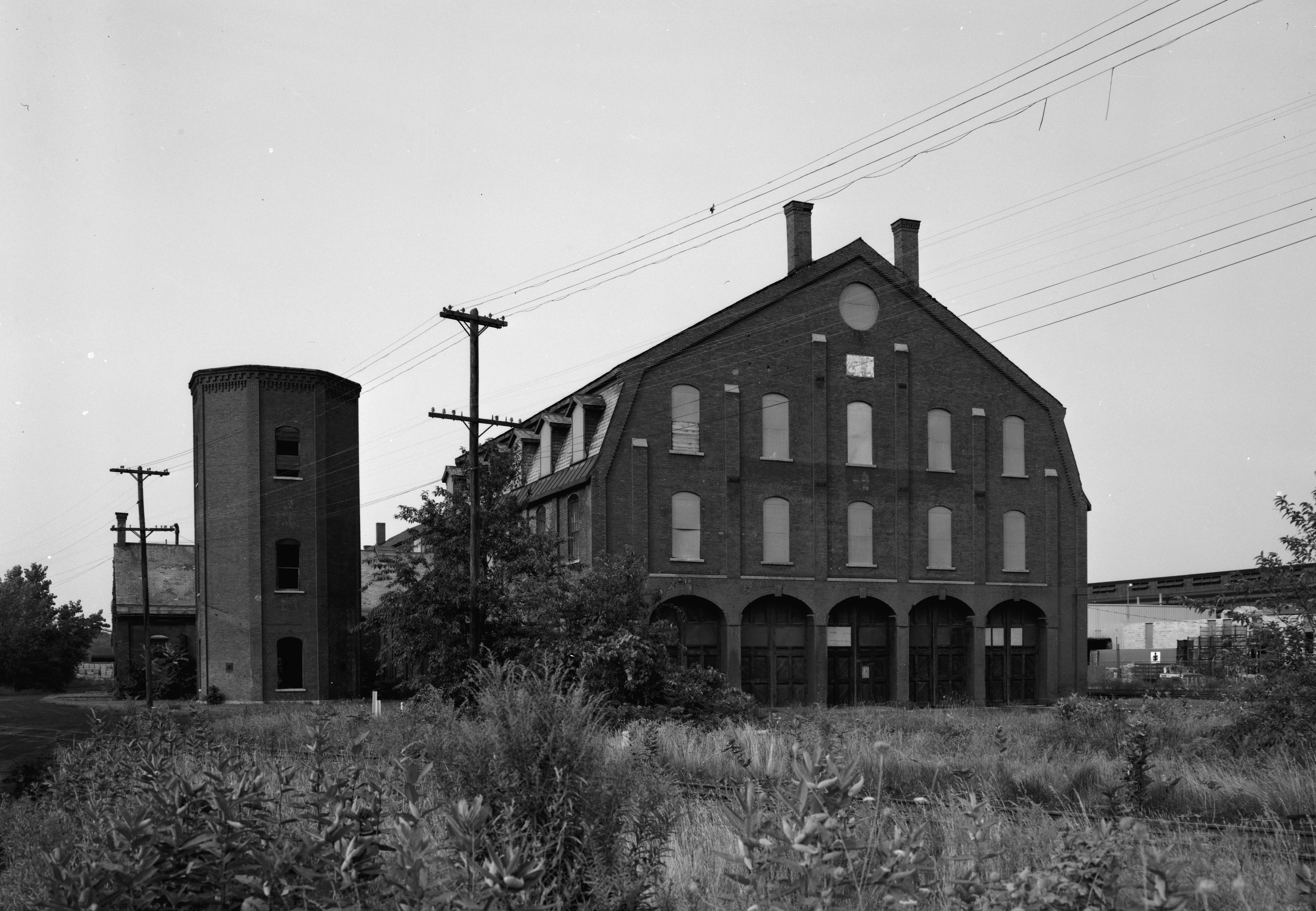
42°42′14″N 73°54′32″W / 42.703889°N 73.908889°WGuilderland 49 Harmony Mill No. 3 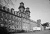
February 18, 1971 100 N. Mohawk St.
42°46′54″N 73°42′19″W / 42.781667°N 73.705278°WCohoes 50 Harmony Mills Historic District 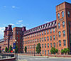
January 12, 1978 Between Mohawk River and RR tracks
42°46′54″N 73°42′34″W / 42.781667°N 73.709444°WCohoes Thousand-foot-long textile mill built in 1872 is preserved in excellent condition. The largest cotton mill in the United States when first built; was a major employer in the city when open. 51 Isaac M. Haswell House October 3, 1985 67 Haswell Rd.
42°44′54″N 73°43′34″W / 42.748333°N 73.726111°WColonie 52 Hayes House January 17, 1973 104 Fairview Ave.
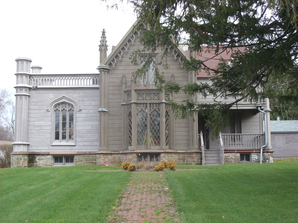
42°41′57″N 74°01′52″W / 42.699167°N 74.031111°WAltamont 53 Hedge Lawn October 3, 1985 592 Broadway
42°42′21″N 73°42′55″W / 42.705833°N 73.715278°WColonie 54 Helderberg Reformed Dutch Church November 10, 1982 140 Main St.
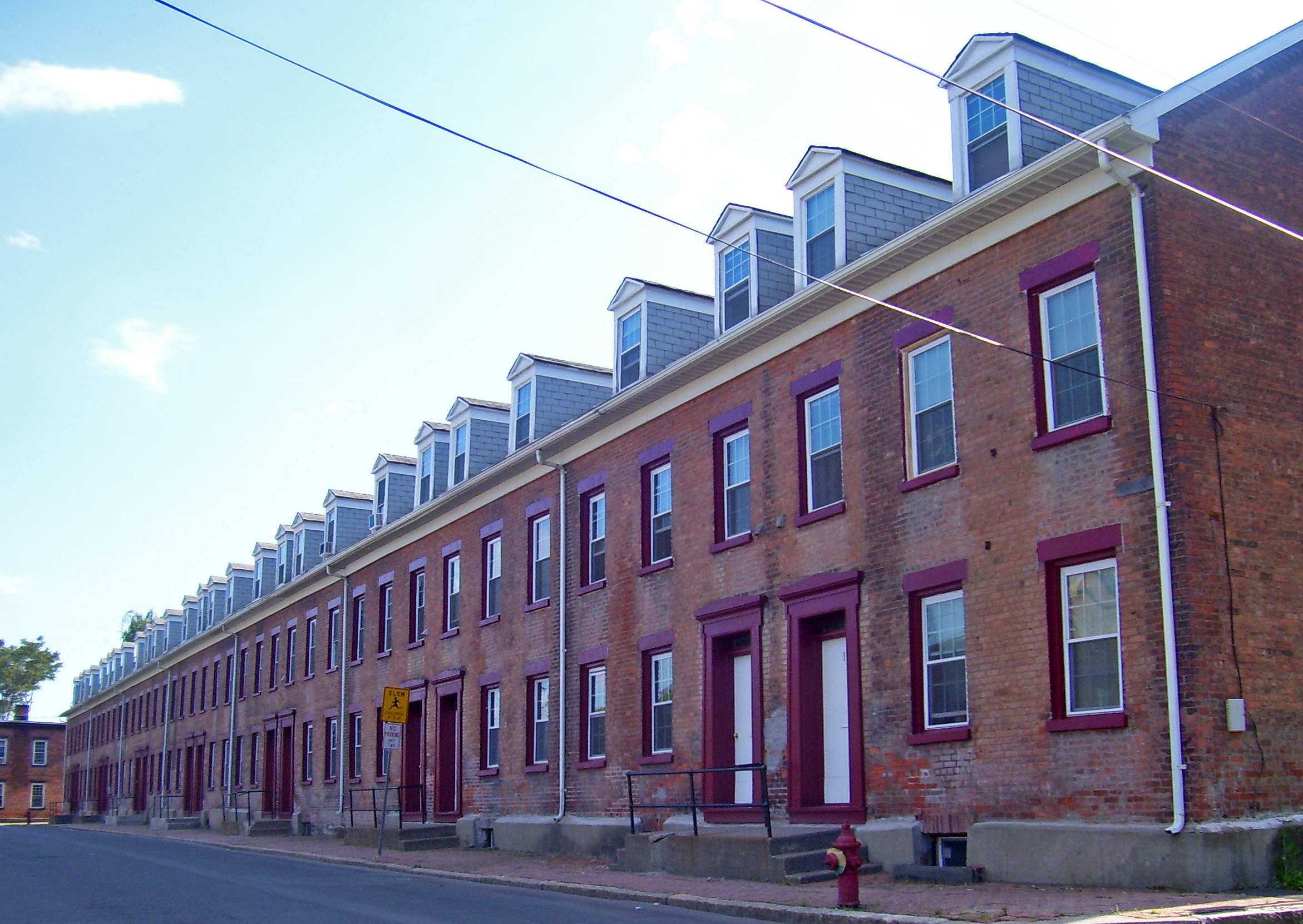
42°42′10″N 73°57′52″W / 42.702778°N 73.964444°WGuilderland 55 Henry-Remsen House October 3, 1985 34 Spring St.
42°42′58″N 73°45′02″W / 42.716111°N 73.750556°WColonie 56 Ebenezer Hills, Jr., Farmhouse October 3, 1985 1010 Troy-Schenectady Rd.
42°45′44″N 73°48′10″W / 42.762222°N 73.802778°WColonie 57 Adam Hilton House November 10, 1982 6073 Leesome Ln.
42°41′31″N 74°02′19″W / 42.691944°N 74.038611°WGuilderland 58 Houck Farmhouse November 10, 1982 6156 Ostrander Rd.
42°41′53″N 73°56′48″W / 42.698056°N 73.946667°WGuilderland 59 Abraham Houghtaling House February 20, 1998 54 Church St.
42°28′28″N 73°47′56″W / 42.474444°N 73.798889°WCoeymans 60 Teunis Houghtaling House July 28, 2004 1045 Clarksville South Rd.
42°33′53″N 73°58′32″W / 42.564722°N 73.975556°WClarksville 61 Hughson Mansion October 4, 1979 374 Loudon Rd.
42°41′45″N 73°45′19″W / 42.695833°N 73.755278°WLoudonville 62 Friend Humphrey House October 3, 1985 372 Albany-Shaker Rd.
42°41′32″N 73°45′49″W / 42.692222°N 73.763611°WColonie 63 John Wolf Kemp House October 3, 1985 216 Wolf Rd.
42°43′33″N 73°47′57″W / 42.725833°N 73.799167°WColonie Was demolished in May 2003[4] 64 Knower House November 10, 1982 3921 Altamont Rd.
42°42′17″N 74°01′13″W / 42.704722°N 74.020278°WGuilderland 65 Knox District School No. 5 May 19, 2005 Ketchum Rd.
42°39′38″N 74°02′43″W / 42.660556°N 74.045278°WKnox 66 J. Leonard Lackman House 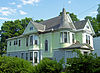
February 20, 1998 28 Imperial Ave.
42°46′15″N 73°42′23″W / 42.770833°N 73.706389°WCohoes Intact 1895 Queen Anne-style home of local gunsmith-locksmith 67 Lainhart Farm Complex and Dutch Barn June 8, 2001 6755 Lainhart
42°43′26″N 74°01′56″W / 42.723889°N 74.032222°WAltamont 68 John V. A. Lansing Farmhouse and Billsen Cemetery and Archeological Site October 3, 1985 Address Restricted Colonie 69 George H. Lawton House October 3, 1985 27 Maxwell Rd.
42°43′28″N 73°45′24″W / 42.724444°N 73.756667°WColonie 70 LeGrange Farmstead December 7, 2005 122 Puley Ln.
42°39′13″N 73°52′56″W / 42.653611°N 73.882222°WSlingerlands 71 Lock 18 of Enlarged Erie Canal 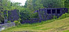
February 18, 1971 W of 252 N. Mohawk St., E of Reservoir St. near Manor Ave.
42°47′08″N 73°42′44″W / 42.785556°N 73.712222°WCohoes High-quality stonework of this ca. 1840 lock on Erie Canal remains; only one of ten in city of Cohoes listed. 72 Loudon Road Historic District October 4, 1979 Loudon Rd. from Crumite Rd. to Menands Rd.
42°42′02″N 73°45′17″W / 42.700556°N 73.754722°WLoudonville 73 Matton Shipyard Matton ShipyardJuly 24, 2009 Delaware Ave.
42°46′46″N 73°40′50″W / 42.779444°N 73.680556°WCohoes vicinity New listing; refnum 09000553 74 McNiven Farm Complex November 10, 1982 4178 Altamont Rd.
42°42′20″N 74°00′10″W / 42.705556°N 74.002778°WGuilderland 75 Menand Park Historic District October 3, 1985 Roughly bounded by Menand Rd., Broadway, and Tillinghast Ave.
42°41′38″N 73°43′27″W / 42.693889°N 73.724167°WColonie 76 Louis Menand House October 3, 1985 40 Cemetery Ave.
42°42′10″N 73°43′24″W / 42.702778°N 73.723333°WColonie 77 Menands Manor October 3, 1985 272 Broadway
42°41′35″N 73°43′31″W / 42.693056°N 73.725278°WColonie 78 Mull House and Cemetery July 22, 1999 65 Fox St.
42°30′17″N 73°46′55″W / 42.504722°N 73.781944°WCoeymans 79 Music Hall 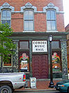
February 18, 1971 NW corner of Remsen and Oneida Sts.
42°46′34″N 73°42′07″W / 42.776111°N 73.701944°WCohoes 1874 brick building is most significant Second Empire building in Cohoes, with highly decorated facade unusual for the style. Still in use as theater after 1975 restoration, making it fourth-oldest music hall in use in the nation. 80 Mynderse-Frederick House November 10, 1982 152 Main St.
42°42′10″N 73°57′55″W / 42.702778°N 73.965278°WGuilderland 81 Newtonville Post Office March 14, 1973 534 Loudonville Rd. (NY 9)
42°43′20″N 73°45′26″W / 42.722222°N 73.757222°WNewtonville 82 Newtonville School September 22, 2000 543 Loudon Rd.
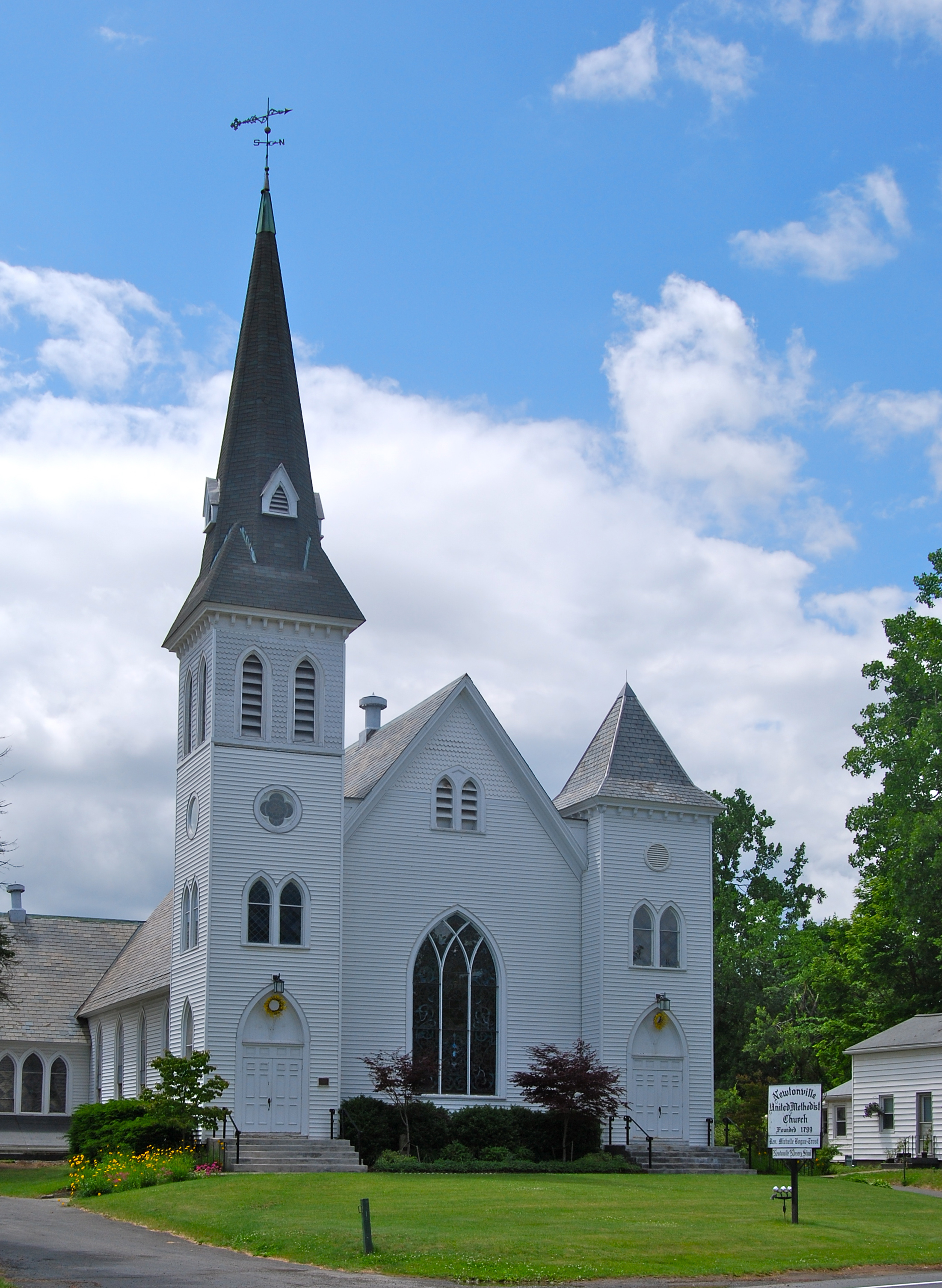
42°43′15″N 73°45′21″W / 42.720833°N 73.755833°WColonie 83 Newtonville United Methodist Church 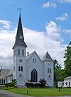
May 30, 2001 Louden Rd. at Maxwell Rd.
42°43′28″N 73°45′36″W / 42.724444°N 73.76°WColonie 84 Norman Vale Norman ValeDecember 11, 2009 6030 Nott Rd.
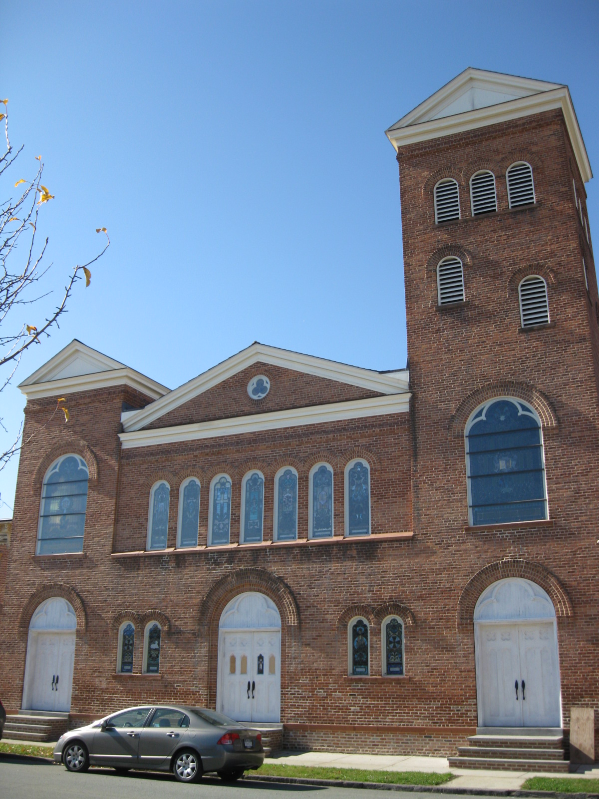
42°41′21″N 73°54′20″W / 42.6893°N 73.905478°WGuilderland New listing; refnum 09001079 85 Ohio Street Methodist Episcopal Church Complex 
December 8, 2005 1921 Third Ave.
42°43′52″N 73°42′11″W / 42.731092°N 73.702939°WWatervliet 86 Olmstead Street Historic District 
June 19, 1973 Olmstead St. between Ontario and Cayuga Sts.
42°46′30″N 73°42′12″W / 42.775°N 73.703333°WCohoes Mill, portion of original Erie Canal and homes built for millworkers, all dating from mid-19th century. A microcosm of the city's economy of that era. 87 Onesquethaw Valley Historic District January 17, 1974 About 10 mi. SW of Albany off NY 43
42°33′20″N 73°54′15″W / 42.555556°N 73.904167°Wprincipally in New Scotland 88 Stephen Pangburn House November 10, 1982 2357 Old State
42°44′35″N 73°58′58″W / 42.743056°N 73.982778°WGuilderland 89 Charles Parker House November 10, 1982 2273 Old State
42°44′31″N 73°59′21″W / 42.741944°N 73.989167°WGuilderland 90 Patterson Farmhouse April 28, 1997 47 Murray Ave.
42°36′38″N 73°50′33″W / 42.610556°N 73.8425°WDelmar 91 Presbyterian Church in New Scotland and the New Scotland Cemetery 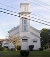
August 29, 2010 2010 New Scotland Rd.
42°37′53″N 73°54′22″W / 42.63139°N 73.90611°W and
478 New Scotland Rd. S.
42°37′49″N 73°54′25″W / 42.630278°N 73.906944°WNew Scotland New listing; refnum 10000592 92 Prospect Hill Cemetery Building 
November 10, 1982 Western Tpk.
42°41′58″N 73°53′58″W / 42.699444°N 73.899444°WGuilderland 93 Casparus F. Pruyn House 
October 3, 1985 207 Old Niskayuna Rd.
42°43′55″N 73°46′43″W / 42.731944°N 73.778611°WColonie 94 Reformed Dutch Church of Rensselaer in Watervliet October 3, 1985 210 Old Loudon Rd.
42°44′52″N 73°45′35″W / 42.747778°N 73.759722°WColonie 95 Alfred H. Renshaw House October 3, 1985 33 Fiddlers Ln.
42°43′26″N 73°45′02″W / 42.723889°N 73.750556°WColonie 96 Rensselaer and Saratoga Railroad: Green Island Shops 
May 24, 1973 James and Tibbits Sts. and the Delaware and Hudson RR tracks
42°45′02″N 73°41′34″W / 42.750556°N 73.692778°WGreen Island 97 Rensselaerville Historic District 
September 15, 1983 Old Albany, Pond Hill, Methodist Hill Rds. and Main St.
42°30′59″N 74°08′06″W / 42.516389°N 74.135°WRensselaerville 98 Rose Hill 
November 10, 1982 2259 Western Tpk.
42°42′09″N 73°54′20″W / 42.7025°N 73.905556°WGuilderland 99 Henry M. Sage Estate July 4, 1980 1 Sage Rd.
42°41′38″N 73°44′02″W / 42.693889°N 73.733889°WMenands 100 St. Agnes Cemetery February 28, 2008 48 Cemetery Ave.
42°42′08″N 73°43′41″W / 42.702169°N 73.728008°WMenands 101 St. Mark's Episcopal Church 
November 7, 1978 69-75 Hudson Ave.
42°44′30″N 73°41′30″W / 42.741667°N 73.691667°WGreen Island 102 St. Mark's Lutheran Church November 10, 1982 Main St.
42°42′16″N 73°58′10″W / 42.704444°N 73.969444°WGuilderland 103 St. Nicholas Ukrainian Catholic Church April 15, 2004 4th Ave. and 24th St.
42°44′04″N 73°42′13″W / 42.734444°N 73.703611°WWatervliet 104 John Schoolcraft House 
November 10, 1982 2299 Western Tpk.
42°42′14″N 73°54′36″W / 42.703889°N 73.91°WGuilderland 105 Schoolhouse No. 6 November 10, 1982 206 Main St.
42°42′14″N 73°58′08″W / 42.703889°N 73.968889°WGuilderland 106 Schoonmaker House December 28, 2001 283 Beaver Dam Rd.
42°32′40″N 73°47′47″W / 42.544444°N 73.796389°WSelkirk 107 Schuyler Flatts Archaeological District 
January 21, 1974 Address Restricted Menands Area with evidence of 4,000 thousand years of human habitation 108 Sharp Brothers House November 10, 1982 4382 Western Tpk.
42°44′07″N 73°59′20″W / 42.735278°N 73.988889°WGuilderland 109 Sharp Farmhouse November 10, 1982 4379 Western Tpk.
42°44′10″N 73°59′20″W / 42.736111°N 73.988889°WGuilderland 110 Israel Shear House 
December 6, 1996 NY 143, NW of jct. with Gedney Hill Rd., Hamlet of Coymans Hollow
42°28′20″N 73°53′56″W / 42.472222°N 73.898889°WRavena 111 Silliman Memorial Presbyterian Church August 1, 1979 Mohawk and Seneca Sts.
42°46′28″N 73°42′02″W / 42.774444°N 73.700556°WCohoes 1896 Romanesque church demolished in 1998.[1] 112 Simmons Stone House October 3, 1985 554 Boght Rd.
42°47′01″N 73°44′15″W / 42.783611°N 73.7375°WColonie 113 Albert Slingerlands House February 14, 1997 36 Bridge St.
42°37′43″N 73°51′29″W / 42.628611°N 73.858056°WSlingerlands 114 Springwood Manor October 4, 1979 498 Loudon Rd.
42°42′50″N 73°45′26″W / 42.713889°N 73.757222°WLoudonville 115 Jedediah Strong House October 3, 1985 379 Vly Rd.
42°46′00″N 73°49′42″W / 42.766667°N 73.828333°WColonie 116 Tobias Ten Eyck House and Cemeteries November 25, 1994 Old Ravena Rd. (Pictuay Rd.) N of jct. with US 9W
42°30′45″N 73°48′18″W / 42.5125°N 73.805°WCoeymans 117 Treemont Manor October 3, 1985 71 Old Niskayuna Rd.
42°42′52″N 73°45′49″W / 42.714444°N 73.763611°WColonie 118 George Trimble House October 3, 1985 158 Spring Street Rd.
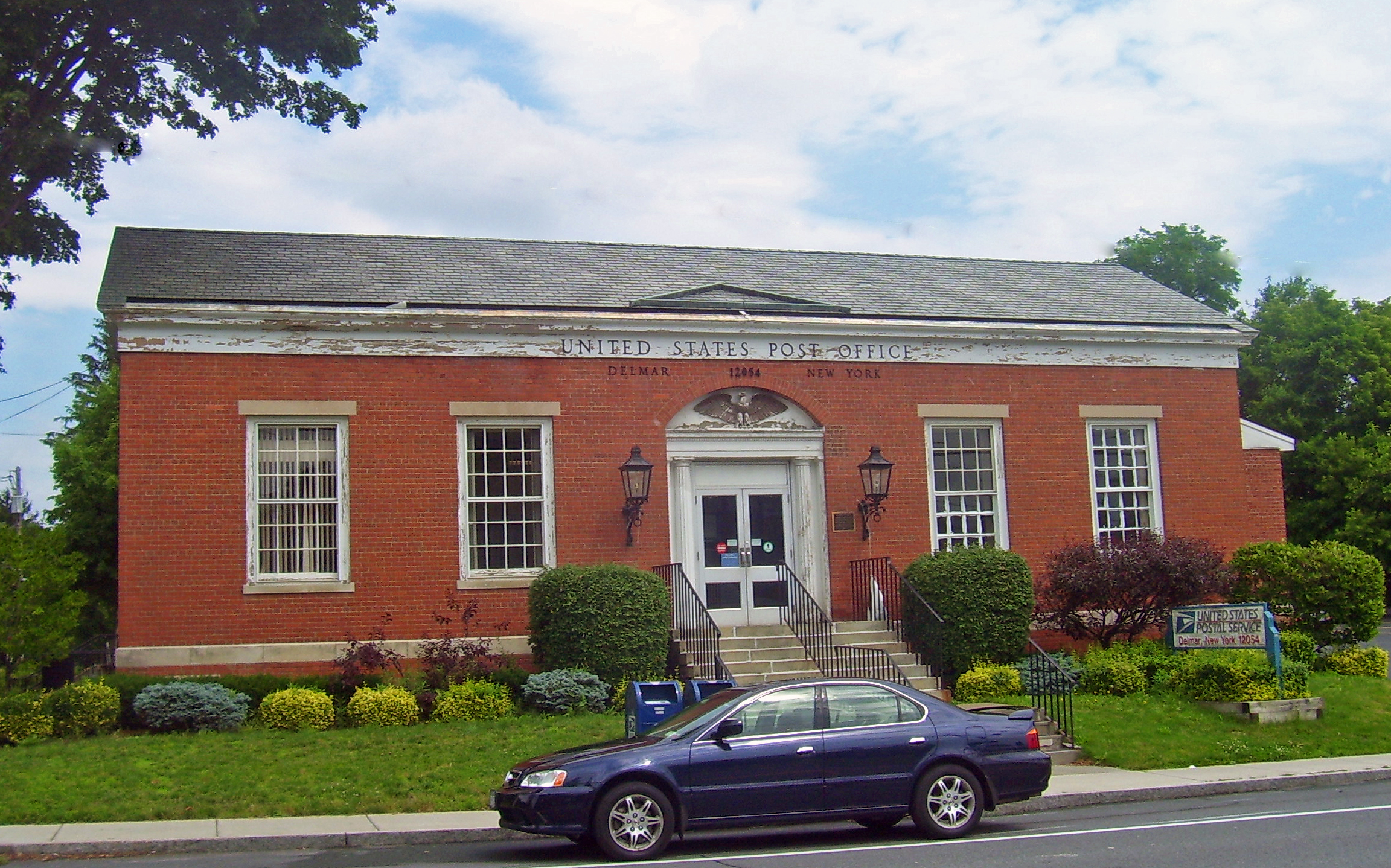
42°42′49″N 73°43′34″W / 42.713611°N 73.726111°WColonie 119 US Post Office-Delmar 
November 17, 1988 357 Delaware Ave.
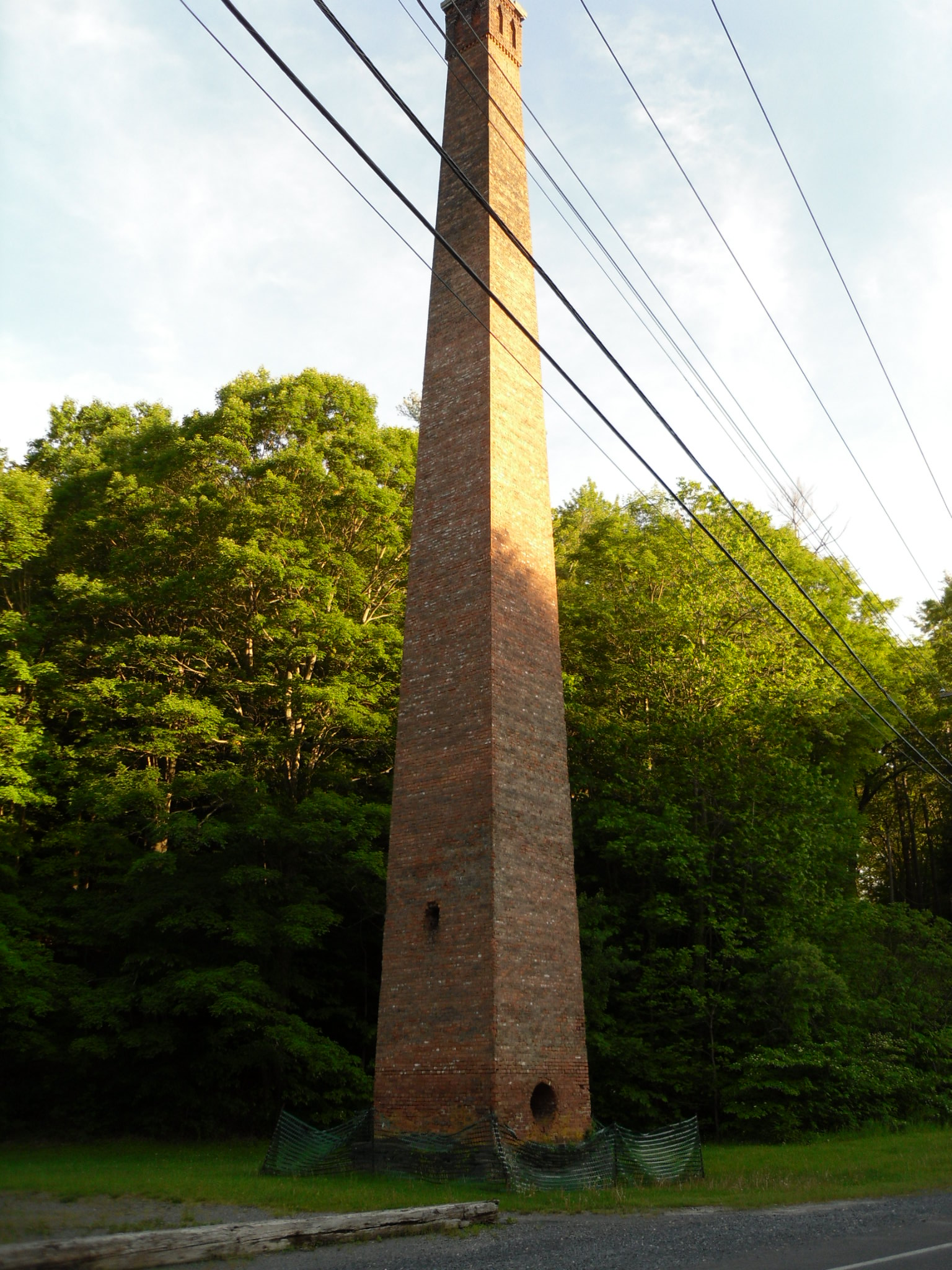
42°37′22″N 73°49′57″W / 42.622778°N 73.8325°WDelmar 1940 building, county's only post office on Register, is only one of 13 Louis Simon post offices in state without a cupola. WPA mural in lobby. 120 Valley Paper Mill Chimney and Site 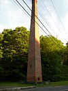
April 21, 2004 NY 143 at Cty Rd. 111
42°28′24″N 73°55′24″W / 42.473333°N 73.923333°WAlcove 121 Van Denbergh-Simmons House October 3, 1985 537 Boght Rd.
42°47′07″N 73°44′05″W / 42.785278°N 73.734722°WColonie 122 C. Van Der Zee House January 11, 2002 NY 143 at Blossom Hill Rd.
42°28′11″N 73°52′46″W / 42.469722°N 73.879444°WCoeymans Hollow 123 Van Derheyden House May 30, 2001 823 Delaware Ave.
42°36′37″N 73°52′02″W / 42.610278°N 73.867222°WDelmar 124 Cornelius and Agnietje Van Derzee House April 6, 2005 Van Derzee Rd.
42°27′18″N 73°51′49″W / 42.455°N 73.863611°WCoeymans 125 Van Patten Barn Complex November 10, 1982 4773 Western Tpk.
42°43′35″N 73°57′51″W / 42.726389°N 73.964167°WGuilderland 126 Van Schaick House March 18, 1971 Van Schaick Ave. and the Delaware & Hudson RR track
42°46′03″N 73°41′13″W / 42.7675°N 73.686944°WCohoes 127 Vanderpool Farm Complex November 10, 1982 3647 Settles Hill Rd.
42°43′50″N 74°02′13″W / 42.730556°N 74.036944°WGuilderland 128 Veeder Farmhouse No. 1 November 10, 1982 3770 Western Tpk.
42°44′32″N 74°01′29″W / 42.742222°N 74.024722°WGuilderland 129 Veeder Farmhouse No. 2 November 10, 1982 3858 Western Tpk
42°44′33″N 74°01′39″W / 42.7425°N 74.0275°WGuilderland 130 Verdoy School 
October 3, 1985 957 Troy-Schenectady Rd.
42°45′48″N 73°47′55″W / 42.763333°N 73.798611°WColonie 131 Verdoy Schoolhouse March 9, 1997 207 Old Niskayuna Rd.
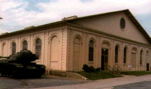
42°43′56″N 73°46′42″W / 42.732222°N 73.778333°WColonie 132 Watervliet Arsenal 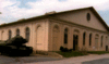
November 13, 1966 S. Broadway
42°43′02″N 73°42′33″W / 42.717222°N 73.709167°WWatervliet Oldest U.S. arsenal in continuous use. 133 Watervliet Shaker Historic District February 20, 1973 Watervliet Shaker Rd.
42°44′23″N 73°49′06″W / 42.739722°N 73.818333°WColonie 134 Watervliet Side Cut Locks 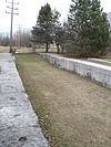
August 12, 1971 23rd St. at the Hudson River
42°43′55″N 73°41′55″W / 42.731944°N 73.698611°WWatervliet 135 Wheeler Home October 4, 1979 485 Loudon Rd.
42°42′46″N 73°45′11″W / 42.712778°N 73.753056°WLoudonville 136 Sidney White House December 7, 2005 483 Travis Hill Rd.
42°28′09″N 74°11′59″W / 42.469167°N 74.199722°WPreston Hollow 137 Whitney Mansion October 4, 1979 489 Loudon Rd.
42°42′51″N 73°45′13″W / 42.714167°N 73.753611°WLoudonville 138 Alexander Willis House April 16, 2004 NY 143
42°28′28″N 73°47′48″W / 42.474444°N 73.796667°WCoeymans See also
- History of Albany, New York
- List of New York State Historic Markers in Albany County, New York
References
- ^ The latitude and longitude information provided in this table was derived originally from the National Register Information System, which has been found to be fairly accurate for about 99% of listings. For about 1% of NRIS original coordinates, experience has shown that one or both coordinates are typos or otherwise extremely far off; some corrections may have been made. A more subtle problem causes many locations to be off by up to 150 yards, depending on location in the country: most NRIS coordinates were derived from tracing out latitude and longitudes off of USGS topographical quadrant maps created under the North American Datum of 1927, which differs from the current, highly accurate WGS84 GPS system used by Google maps. Chicago is about right, but NRIS longitudes in Washington are higher by about 4.5 seconds, and are lower by about 2.0 seconds in Maine. Latitudes differ by about 1.0 second in Florida. Some locations in this table may have been corrected to current GPS standards.
- ^ "National Register of Historic Places: Weekly List Actions". National Park Service, United States Department of the Interior. Retrieved on November 18, 2011.
- ^ Numbers represent an ordering by significant words. Various colorings, defined here, differentiate National Historic Landmark sites and National Register of Historic Places Districts from other NRHP buildings, structures, sites or objects.
- ^ Anne Miller (May 29, 2003). "A Remnant of Rural Past Turned to Rubble". Albany Times Union. p. B1. http://archives.timesunion.com/mweb/wmsql.wm.request?oneimage&imageid=6213088. Retrieved 2010-02-28.
External links
A useful list of the above sites, with street addresses and other information, is available at National Register of Historic Places.Com, a private site serving up public domain information on NRHPs.
Categories:- National Register of Historic Places in New York by county
- Albany County, New York
-


Wikimedia Foundation. 2010.