- National Register of Historic Places listings in Niagara County, New York
-
 Location of Niagara County in New York
This is intended to be a complete list of properties and districts listed on the National Register of Historic Places in Niagara County, New York. The locations of National Register properties and districts (at least for all showing latitude and longitude coordinates below) may be seen in a Google map by clicking on "Map of all coordinates".[1] Three of these are further designated as National Historic Landmarks.
-
- This National Park Service list is complete through NPS recent listings posted November 18, 2011.[2]
Contents: Counties in New York Albany (Albany) – Allegany – Bronx – Broome – Cattaraugus – Cayuga – Chautauqua – Chemung – Chenango – Clinton – Columbia – Cortland – Delaware – Dutchess – Erie (Buffalo) – Essex – Franklin – Fulton – Genesee – Greene – Hamilton – Herkimer – Jefferson – Kings (Brooklyn) – Lewis – Livingston – Madison – Monroe (Rochester) – Montgomery – Nassau – New York (Manhattan – Below 14th Street, 14th to 59th Streets, 59th to 110th Streets, Above 110th Street, Islands) – Niagara – Oneida – Onondaga (Syracuse) – Ontario – Orange – Orleans – Oswego – Otsego – Putnam – Queens – Rensselaer – Richmond (Staten Island) – Rockland – Saratoga – Schenectady – Schoharie – Schuyler – Seneca – St. Lawrence – Steuben – Suffolk – Sullivan – Tioga – Tompkins – Ulster – Warren – Washington – Wayne – Westchester (New Rochelle, Peekskill, Yonkers) – Wyoming – Yates Listings county-wide
Legend: National Register of Historic Places listing National Historic Landmark Historic district National Historic Landmark District
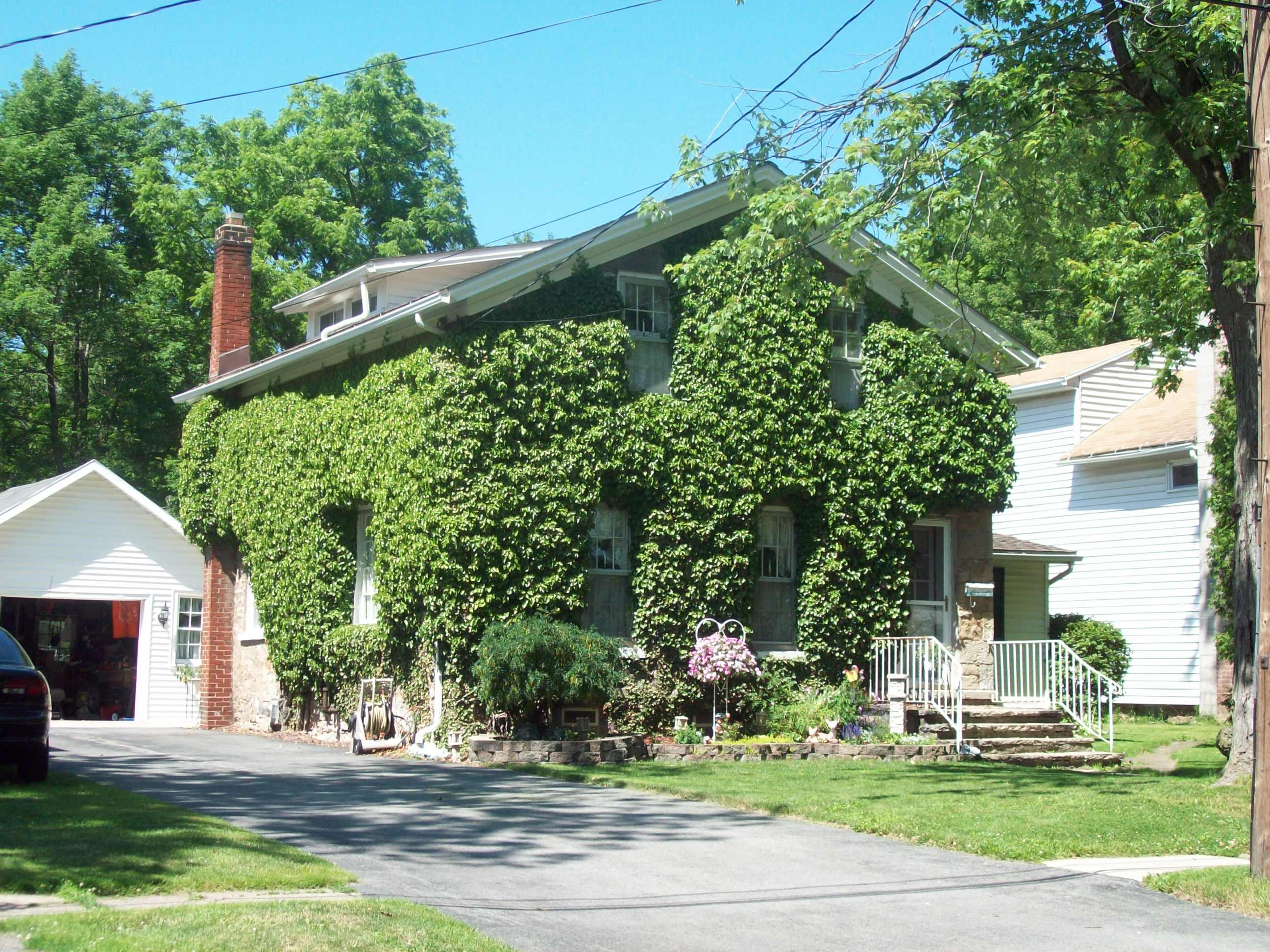
[3] Landmark name Image Date listed Location City or town Summary 1 Adams Power Plant Transformer House 
June 11, 1975 Buffalo Ave. near Portage Rd.
43°04′54″N 79°02′34″W / 43.081667°N 79.042778°WNiagara Falls McKim, Mead, and White designed structure from the first alternating current electric generating plant in the world; constructed in 1895. 2 Bacon-Merchant-Moss House 
May 30, 2007 32 Cottage St.
43°10′05″N 78°41′40″W / 43.168056°N 78.694444°WLockport Federal style stone dwelling built in 1832; part of the Multiple Property Submission for the Stone Buildings of Lockport, New York. 3 Constant Riley W. Bixby House 
November 15, 2002 2888 Carmen Rd.
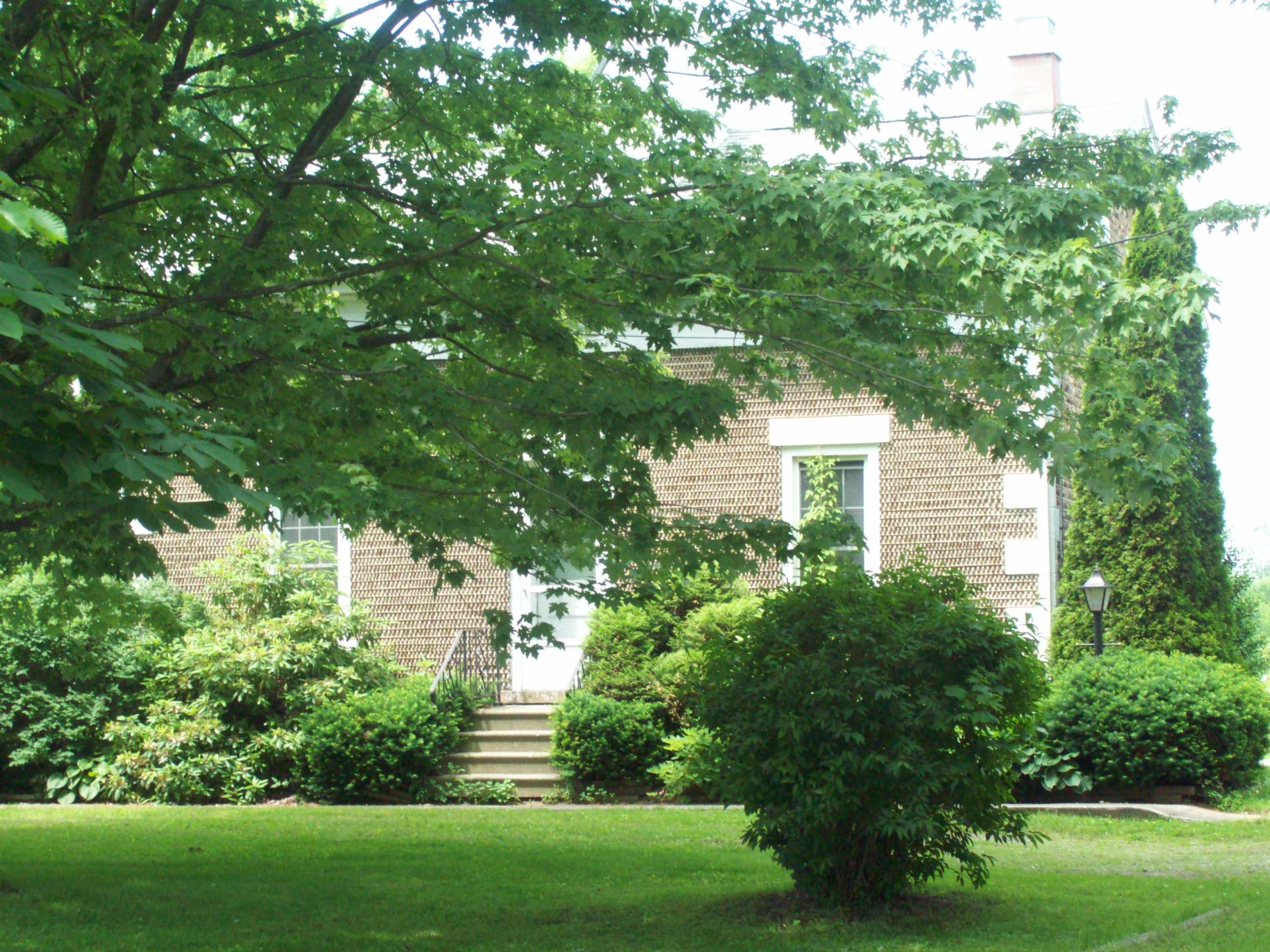
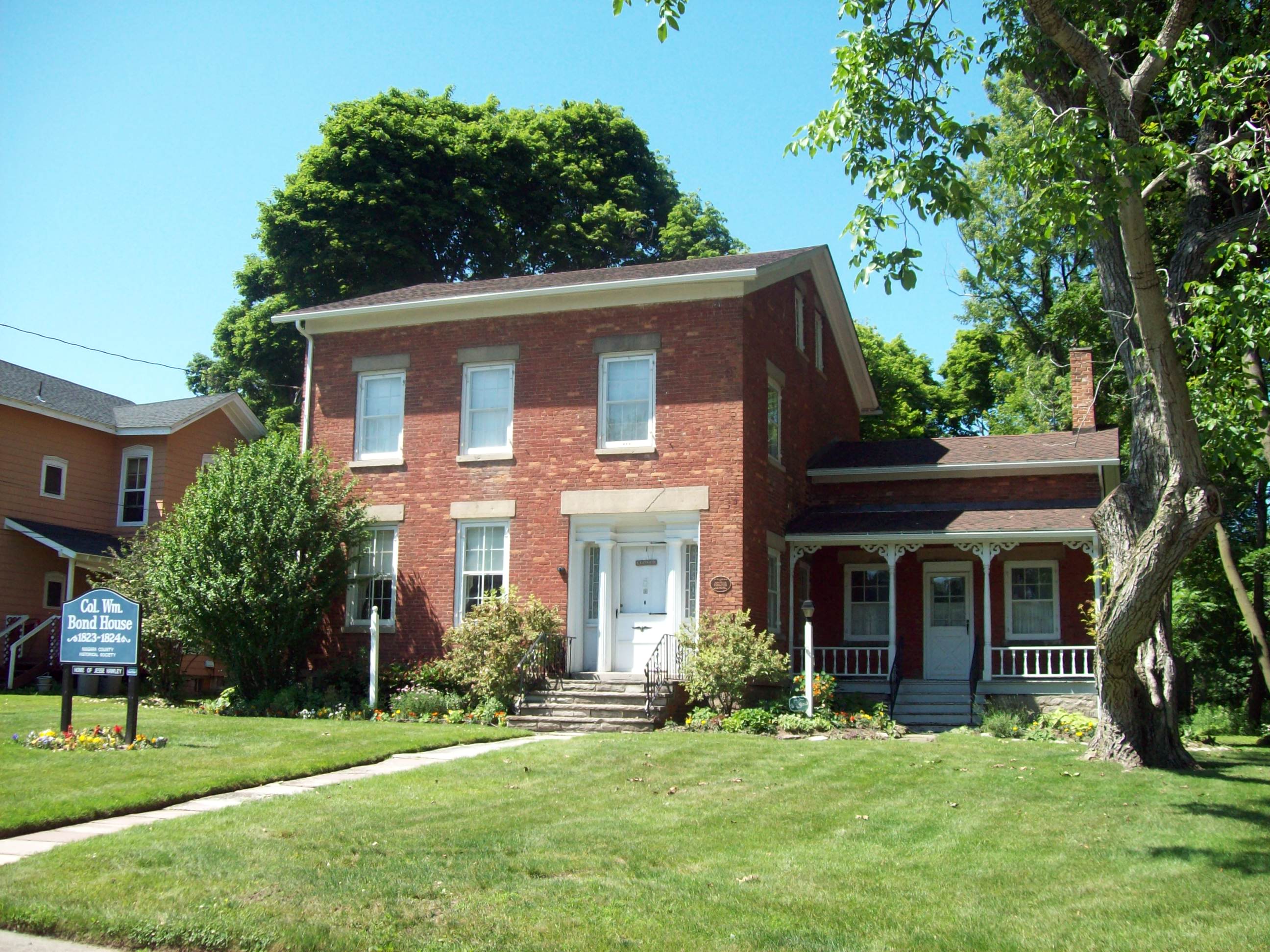
43°15′42″N 78°29′20″W / 43.261667°N 78.488889°WHartland Two story cobblestone dwelling built in 1845; part of the Multiple Property Submission for the Cobblestone Architecture of New York State. 4 Col. William M. and Nancy Ralston Bond House 
April 20, 1995 143 Ontario St.
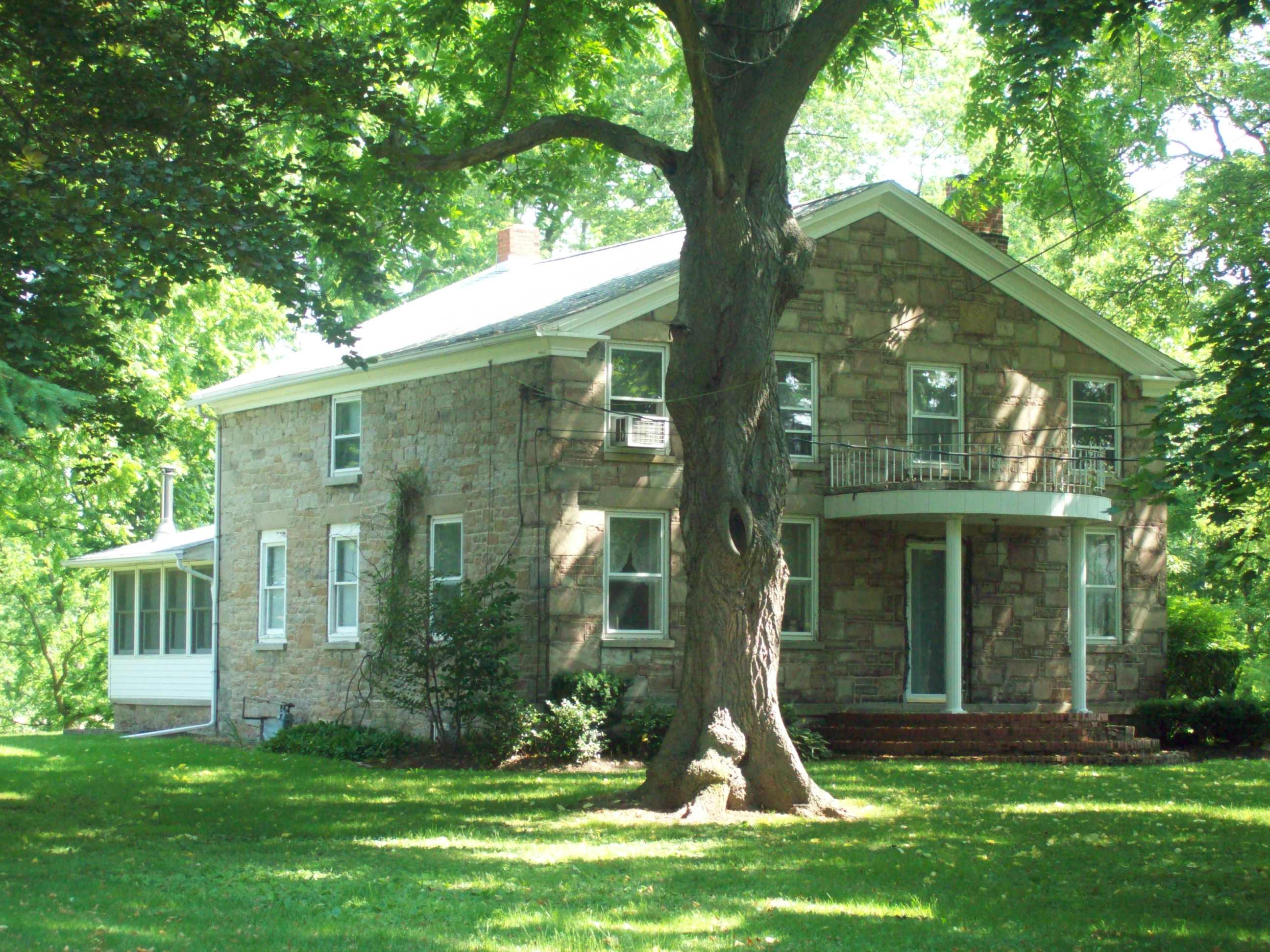
43°10′16″N 78°41′56″W / 43.171111°N 78.698889°WLockport Brick dwelling constructed in 1823 in the late Federal / early Greek Revival style. 5 Amzi Bradley Farmstead 
November 15, 2002 8915 Bradley Rd.
43°16′14″N 78°31′24″W / 43.270556°N 78.523333°WHartland Two story cobblestone dwelling built in 1836; part of the Multiple Property Submission for the Cobblestone Architecture of New York State. 6 Carnegie Library 
July 14, 1995 249 Goundry St.
43°01′35″N 78°52′09″W / 43.026389°N 78.869167°WNorth Tonawanda Philanthropist Andrew Carnegie funded library constructed in 1903; now local arts center. 7 John Carter Farmstead 
May 30, 2007 206 Lake Rd.
43°15′51″N 79°02′46″W / 43.264167°N 79.046111°WYoungstown Italianate style brick dwelling and barn. 8 Chase-Crowley-Keep House 
May 21, 2008 305 High St.
43°09′52″N 78°41′08″W / 43.164444°N 78.685556°WLockport Stone dwelling built in 1856; part of the Multiple Property Submission for the Stone Buildings of Lockport, New York. 9 Chase-Hubbard-Williams House 
May 21, 2008 327 High St.
43°09′50″N 78°41′06″W / 43.163889°N 78.685°WLockport Stone dwelling built in 1870; part of the Multiple Property Submission for the Stone Buildings of Lockport, New York. 10 Chilton Avenue-Orchard Parkway Historic District 
August 30, 2010 Portions of Chilton Avenue and Orchard Parkway
43°06′02″N 79°03′17″W / 43.100556°N 79.054722°WNiagara Falls refnum 10000771 11 Cold Springs Cemetery 
September 10, 2004 4849 Cold Springs Rd.
43°10′59″N 78°39′25″W / 43.183056°N 78.656944°WLockport Cemetery founded in 1815; notable internments include Erie Canal proponent Jesse Hawley and Cuthbert W. Pound. 12 Nathan Comstock Jr. House Nathan Comstock Jr. HouseSeptember 29, 2011 299 Old Niagara Road
43°11′14″N 78°40′47″W / 43.187222°N 78.679722°WLockport Stone Buildings of Lockport, New York MPS; refnum 11000707 13 Conkey House 
May 30, 2003 202 Akron St.
43°09′43″N 78°40′09″W / 43.161944°N 78.669167°WLockport Federal style stone dwelling built in 1842; part of the Multiple Property Submission for the Stone Buildings of Lockport, New York. 14 DAY PECKINPAUGH 
December 28, 2005 NYS Barge Canal
43°09′54″N 78°42′13″W / 43.165°N 78.703611°WLockport Canal motorship built in 1921. 15 Deveaux School Historic District 
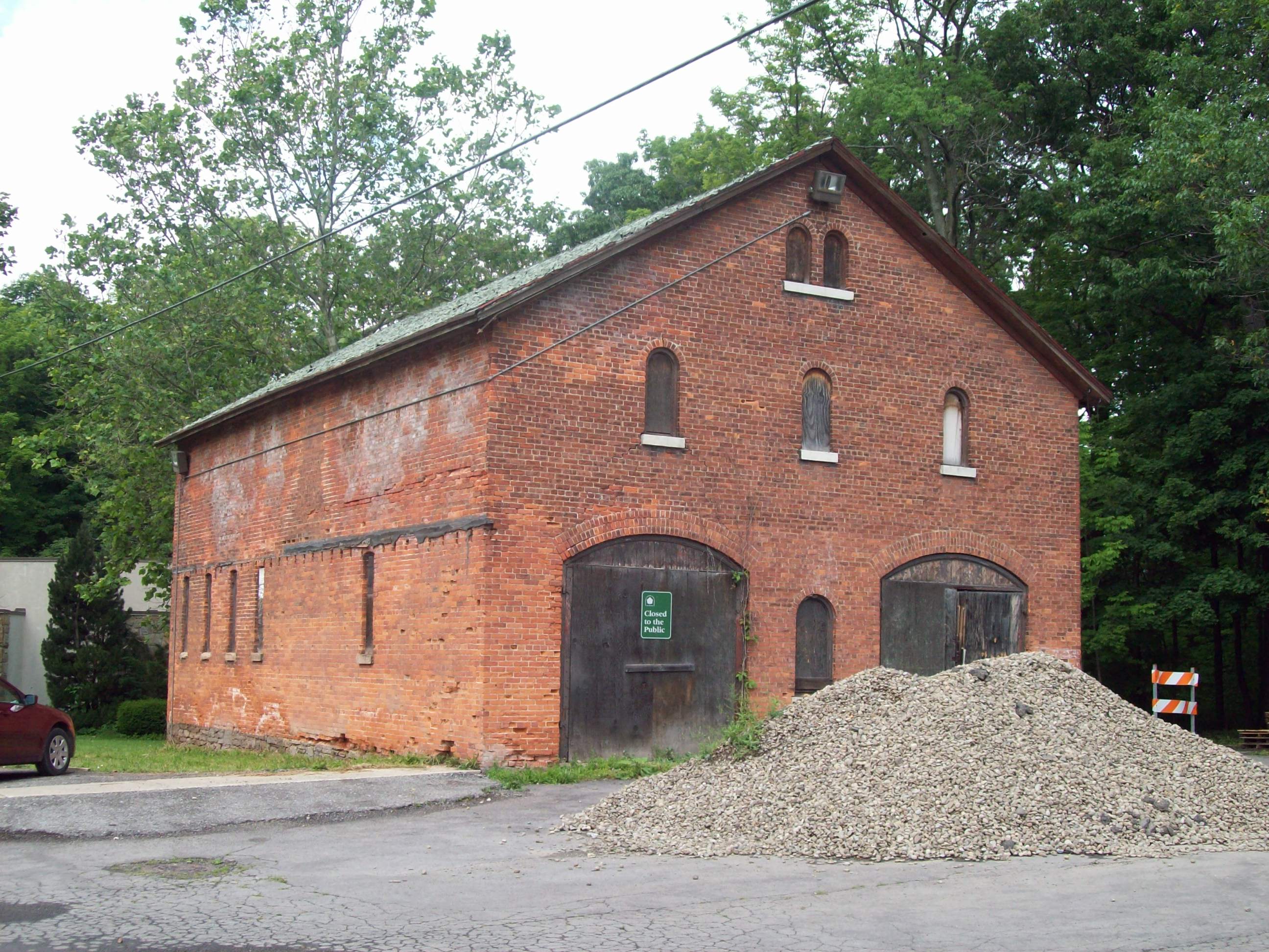
June 5, 1974 2900 Lewiston Rd.
43°07′N 79°04′W / 43.12°N 79.06°WNiagara Falls Campus of school for impoverished boys; later boys prep school. 16 District #10 Schoolhouse 
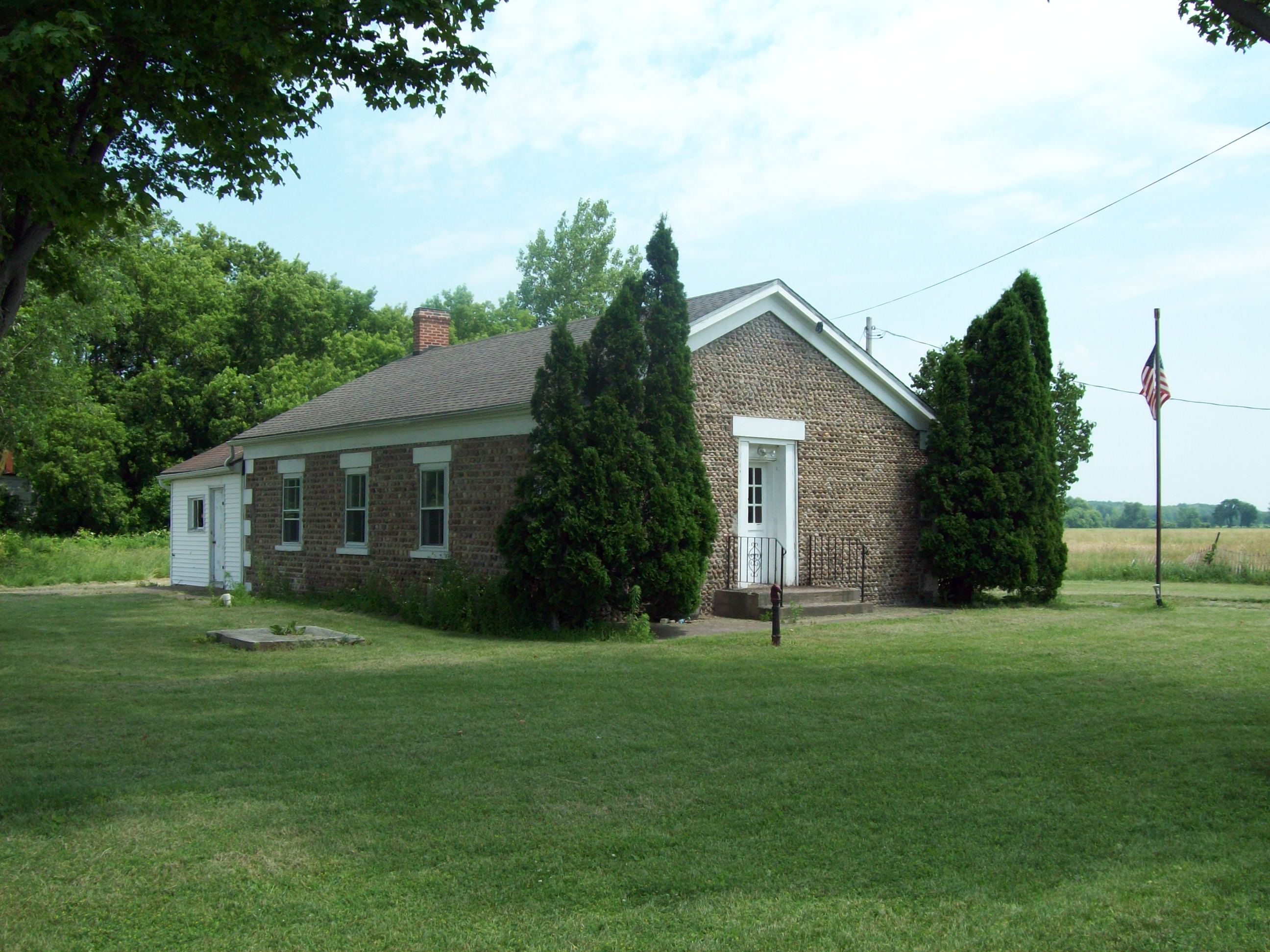
December 1, 2000 9713 Seaman Rd.
43°16′53″N 78°29′20″W / 43.281389°N 78.488889°WHartland Cobblestone one room school built in 1845; part of the Multiple Property Submission for the Cobblestone Architecture of New York State. 17 Dole House 
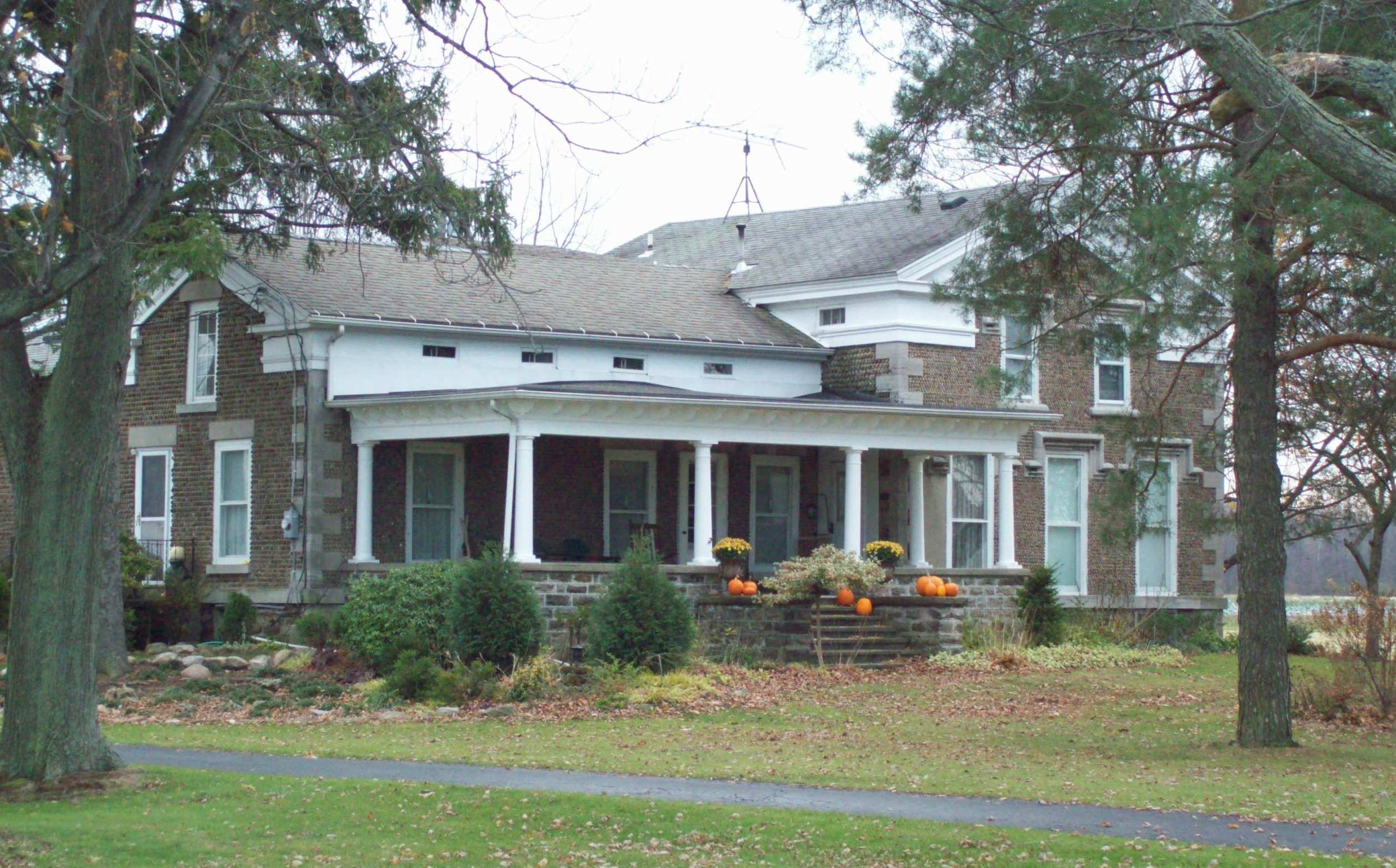
May 30, 2003 74 Niagara St.
43°10′11″N 78°41′52″W / 43.169722°N 78.697778°WLockport Federal style stone dwelling built in 1840; part of the Multiple Property Submission for the Stone Buildings of Lockport, New York. 18 First Baptist Church (Newfane) 
September 15, 2004 6073 East Ave.
43°17′11″N 78°42′29″W / 43.286389°N 78.708056°WNewfane Cobblestone church built in 1843; part of the Multiple Property Submission for the Cobblestone Architecture of New York State. 19 First Unitarian Universalist Church of Niagara 
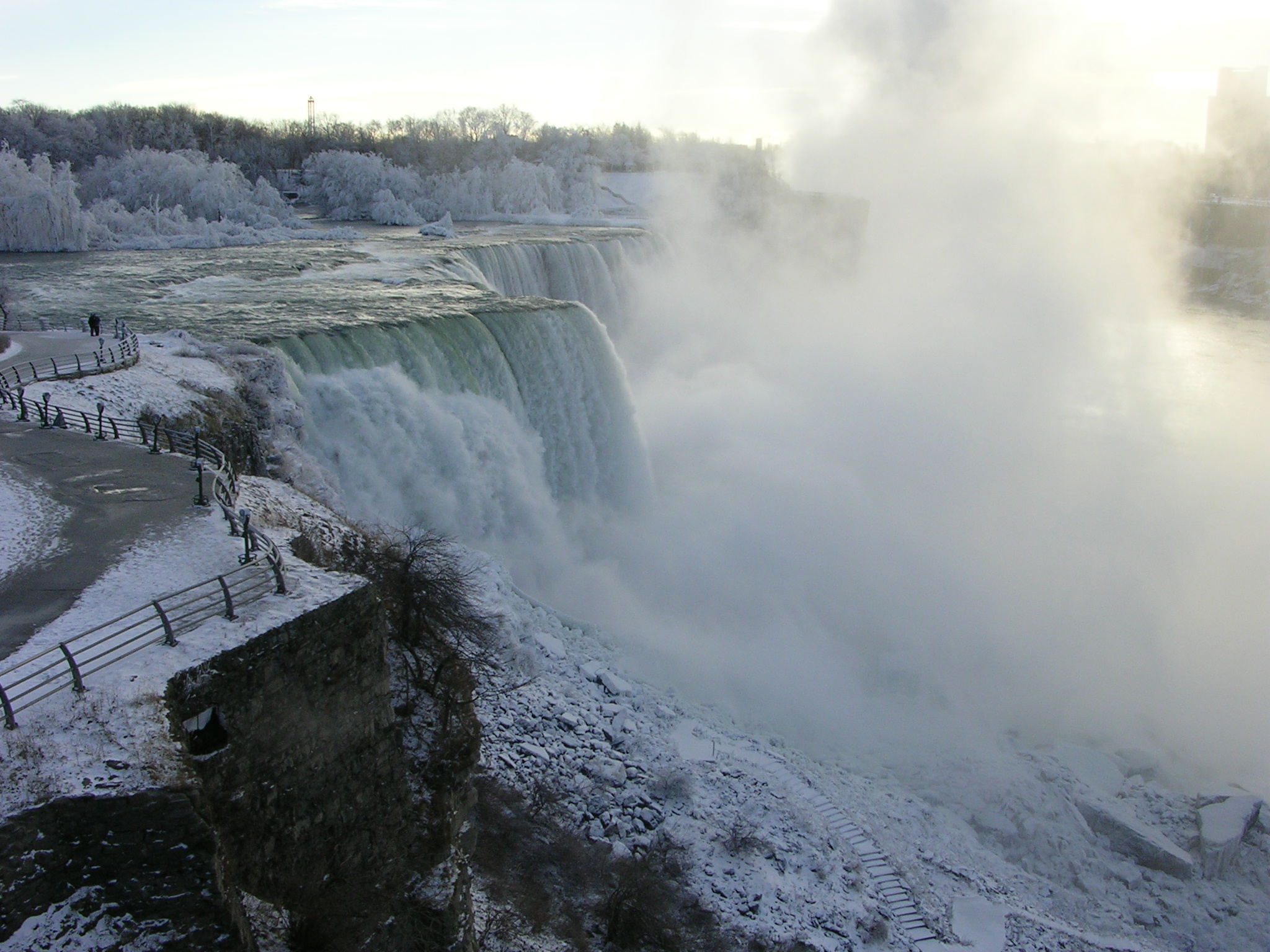
January 25, 2007 639 Main St.
43°05′44″N 79°03′24″W / 43.095556°N 79.056667°WNiagara Falls Classical Revival style constructed in 1921-1922. 20 Former Niagara Falls High School 
January 24, 2002 1201 Pine Ave.
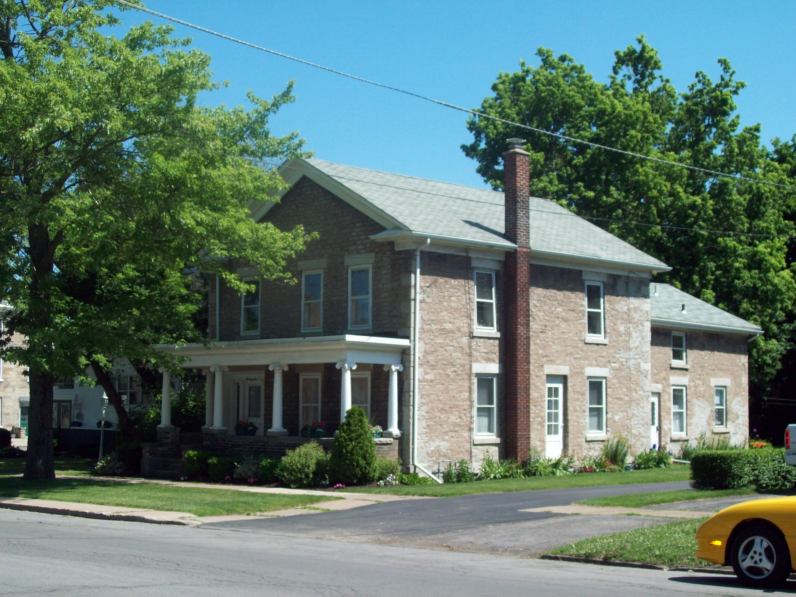
43°05′36″N 79°02′08″W / 43.093333°N 79.035556°WNiagara Falls High school built in 1923-1924; now community arts center. 21 Fort Niagara Light 
July 19, 1984 Niagara River
43°15′42″N 79°03′39″W / 43.261667°N 79.060833°WYoungstown Lighthouse built in 1872; deactivated in 1993. 22 Frontier House 
July 8, 1974 460 Center St.
43°10′23″N 79°02′35″W / 43.173056°N 79.043056°WLewiston Stone former hotel structure built in 1824. 23 Gibbs House 
May 30, 2003 98 N. Transit St.
43°10′17″N 78°41′54″W / 43.171389°N 78.698333°WLockport Two story stone dwelling built in 1850; part of the Multiple Property Submission for the Stone Buildings of Lockport, New York. 24 Harrington Cobblestone Farmhouse and Barn Complex 
December 7, 2005 8993 Ridge Rd.
43°14′37″N 78°31′35″W / 43.243611°N 78.526389°WHartland Cobblestone house built in 1843; part of the Multiple Property Submission for the Cobblestone Architecture of New York State. 25 Allan Herschell Carousel Factory 
April 18, 1985 180 Thompson St.
43°01′46″N 78°52′24″W / 43.029444°N 78.873333°WNorth Tonawanda Carousel factory built 1910-1915; now museum. 26 Holley-Rankine House 
October 4, 1979 525 Riverside Dr.
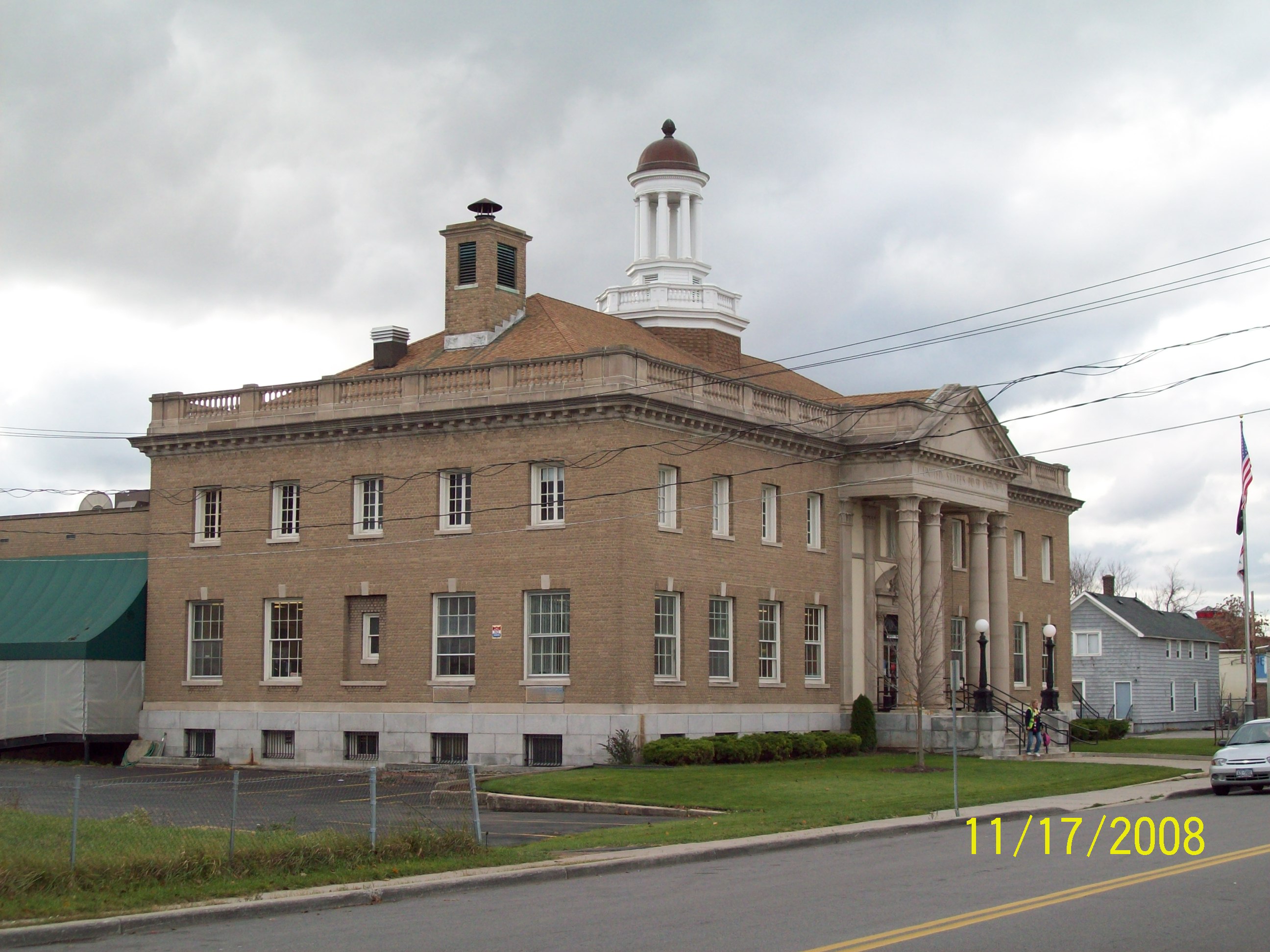
43°04′53″N 79°03′20″W / 43.081389°N 79.055556°WNiagara Falls Gothic Revival cottage built about 1855; now operated as a bed and breakfast. 27 Holy Trinity Roman Catholic Church Complex 
June 11, 2010 1419 Falls St.
43°05′13″N 79°02′39″W / 43.086944°N 79.044167°WNiagara Falls refnum 10000334 28 Hopkins House 
May 30, 2003 83 Monroe St.
43°10′39″N 78°41′39″W / 43.1775°N 78.694167°WLockport Stone dwelling built in 1833; part of the Multiple Property Submission for the Stone Buildings of Lockport, New York. 29 House at 8 Berkley Drive 
May 4, 2009 8 Berkley Drive
43°09′19″N 78°41′17″W / 43.155278°N 78.688056°WLockport Prairie style home constructed in 1957. 30 Jefferson Apartment Building 
January 5, 2005 250 Rainbow Blvd.
43°05′10″N 79°03′33″W / 43.086111°N 79.059167°WNiagara Falls Eight story brick apartment building constructed in 1926. 31 Lewiston Mound 
January 21, 1974 Earl W. Brydges Artpark State Park Lewiston Indian burial mound. 32 Lockport Industrial District 
November 11, 1975 Bounded roughly by Erie Canal, Gooding, Clinton, and Water Sts.
43°10′24″N 78°41′31″W / 43.173333°N 78.691944°WLockport Includes two sets of Erie Canal locks constructed in 1859 and in 1909-1918 and related industrial structures or remains. 33 Lower Landing Archeological District 
July 18, 1974 Address Restricted Lewiston Western end of portage around Niagara Falls. 34 Lowertown Historic District 
June 4, 1973 Roughly bounded by Erie Canal and New York Central RR
43°10′47″N 78°40′42″W / 43.179722°N 78.678333°WLockport Residential district with structures constructed 1820s to 1860s. 35 Maloney House 
May 30, 2003 279 Caledonia St.
43°10′21″N 78°42′14″W / 43.1725°N 78.703889°WLockport Stone dwelling built about 1860; part of the Multiple Property Submission for the Stone Buildings of Lockport, New York. 36 James G. Marshall House 
July 16, 2004 740 Park Place
43°05′45″N 79°03′26″W / 43.095833°N 79.057222°WNiagara Falls Three story Arts and Crafts style dwelling built in 1913 37 Benjamin C. Moore Mill 
June 19, 1973 Pine St. on the Erie Canal
43°10′14″N 78°41′34″W / 43.170556°N 78.692778°WLockport Stone former grist mill built in 1864; served as city hall and now welcome center. 38 Morse Cobblestone Farmhouse 
August 30, 2010 2773 Maple Road
43°16′51″N 78°48′00″W / 43.280833°N 78.8°WWilson refnum 10000591; from Cobblestone Architecture of New York State MPS 39 Philo Newton Cobblestone House 
November 15, 2002 3573 Wruck Rd.
43°14′07″N 78°32′04″W / 43.235278°N 78.534444°WHartland Cobblestone house built in 1830; part of the Multiple Property Submission for the Cobblestone Architecture of New York State. 40 The Niagara 
December 5, 2008 201 Rainbow Blvd.
43°05′06″N 79°03′40″W / 43.085°N 79.061111°WNiagara Falls Former hotel building. 41 Niagara County Courthouse and County Clerk's Office 
May 9, 1997 175 Hawley St. and 139 Niagara St.
43°10′10″N 78°42′03″W / 43.169444°N 78.700833°WLockport Former County Clerk's Office constructed 1856; courthouse built 1886 with later additions. 42 Niagara Falls Armory 
March 2, 1995 901 Main St.
43°05′51″N 79°03′14″W / 43.0975°N 79.053889°WNiagara Falls Castellated armory building constructed in 1895; part of the Multiple Property Submission for Army National Guard Armories in New York State. 43 Niagara Falls City Hall 
January 26, 2001 745 Main St.
43°05′45″N 79°03′19″W / 43.095833°N 79.055278°WNiagara Falls Beaux-Arts style municipal building constructed in 1923-1924. 44 Niagara Falls Public Library 
June 5, 1974 1022 Main St.
43°05′56″N 79°03′16″W / 43.098889°N 79.054444°WNiagara Falls Philanthropist Andrew Carnegie funded library constructed in 1902-1904; now city offices. 45 Niagara Reservation 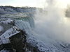
October 15, 1966 Niagara Reservation
43°04′54″N 79°03′55″W / 43.081667°N 79.065278°WNiagara Falls Oldest state park in the United States, established in 1885. 46 North Ridge United Methodist Church 
December 31, 2002 3930 North Ridge Rd.
43°12′44″N 78°49′40″W / 43.212222°N 78.827778°WNorth Ridge Cobblestone church built in 1848; part of the Multiple Property Submission for the Cobblestone Architecture of New York State. 47 Old Fort Niagara-Colonial Niagara Historic District 
October 15, 1966 N of Youngstown on NY 18
43°15′48″N 79°03′48″W / 43.263333°N 79.063333°WYoungstown Fort located at Niagara River and Lake Ontario dating to 1678. 48 Thomas Oliver House 
November 19, 1998 175 Locust St.
43°09′56″N 78°40′32″W / 43.165556°N 78.675556°WLockport Queen Anne style brick house constructed in 1891. 49 Park Place Historic District 
October 1, 2010 Park Place, portions of Prince Ave., 4th St., and Main St.
43°05′44″N 79°03′25″W / 43.095556°N 79.056944°WNiagara Falls refnum 10000809 50 Riviera Theatre 
March 20, 1980 67 Webster St.
43°01′26″N 78°52′38″W / 43.023889°N 78.877222°WNorth Tonawanda Theater constructed in 1926; features Mighty Wurlitzer 51 St. John's Episcopal Church 
May 10, 1990 117 Main St.
43°15′13″N 79°03′01″W / 43.253611°N 79.050278°WYoungstown Gothic Revival style church constructed in 1878 52 St. Mary's Nurses' Residence 
July 16, 2004 542 6th St.
43°05′35″N 79°03′21″W / 43.093056°N 79.055833°WNiagara Falls Brick residence hall constructed in 1928. 53 Hazard H. Sheldon House 
May 11, 2011 539 4th St.
43°05′31″N 79°03′28″W / 43.091944°N 79.057778°WNiagara Falls Italian Villa style stone dwelling built about 1857. 54 Stickney House 
May 30, 2003 133 Lock St.
43°10′20″N 78°41′33″W / 43.172222°N 78.6925°WLockport Stone dwelling built in 1854; part of the Multiple Property Submission for the Stone Buildings of Lockport, New York. 55 Thirty Mile Point Light 
July 19, 1984 Lake Ontario 30 miles east of Niagara River
43°22′29″N 78°29′11″W / 43.374722°N 78.486389°WSomerset Lighthouse constructed in 1875. 56 Town of Niagara District School No. 2 
February 9, 2005 9670 Lockport Rd.
43°07′18″N 78°57′03″W / 43.121667°N 78.950833°WNiagara Falls One room school built in 1878. 57 U.S. Customhouse (Niagara Falls) 
July 16, 1973 2245 Whirlpool St.
43°06′35″N 79°03′21″W / 43.109722°N 79.055833°WNiagara Falls Stone customhouse constructed in 1863. 58 Union Station (Lockport) 
December 2, 1977 95 Union Ave.
43°10′26″N 78°41′08″W / 43.173889°N 78.685556°WLockport Romanesque style train station constructed in 1889; destroyed by fire and shell remains. 59 United Office Building 
January 18, 2006 220 Rainbow Blvd.
43°05′14″N 79°03′45″W / 43.087222°N 79.0625°WNiagara Falls Art deco 20 story skyscraper completed in 1929. 60 US Post Office-Lockport 
May 11, 1989 1 East Ave.
43°10′16″N 78°41′18″W / 43.171111°N 78.688333°WLockport Post office built in 1902-1904; part of the Multiple Property Submission for the US Post Offices in New York State, 1858-1943. 61 US Post Office-Middleport 
May 11, 1989 42 Main St.
43°12′40″N 78°28′37″W / 43.211111°N 78.476944°WMiddleport One of three post offices in state (along with Frankfort and Lake George) to use the same modernist-Colonial Revival design. 62 US Post Office-Niagara Falls Main 
May 11, 1989 Main and Walnut Sts.
43°05′34″N 79°03′25″W / 43.092778°N 79.056944°WNiagara Falls Post office built in 1904-1907; part of the Multiple Property Submission for the US Post Offices in New York State, 1858-1943. 63 US Post Office-North Tonawanda 
May 11, 1989 141 Goundry St.
43°01′29″N 78°52′23″W / 43.024722°N 78.873056°WNorth Tonawanda Post office built in 1912-1914; part of the Multiple Property Submission for the US Post Offices in New York State, 1858-1943. 64 Van Horn Mansion 
September 9, 1991 2165 Lockport-Olcott Rd.
43°18′49″N 78°42′51″W / 43.313611°N 78.714167°WNewfane Two story brick mansion built in 1823. 65 Peter D. Walter House 
May 30, 2007 127 Ontario St.
43°10′16″N 78°41′54″W / 43.171111°N 78.698333°WLockport Two story stone dwelling built in 1858; part of the Multiple Property Submission for the Stone Buildings of Lockport, New York. 66 Watson House 
May 30, 2003 129 Outwater Dr.
43°10′48″N 78°42′08″W / 43.18°N 78.702222°WLockport Two story stone dwelling built in 1854; part of the Multiple Property Submission for the Stone Buildings of Lockport, New York. 67 White-Pound House 
May 30, 2003 140 Pine St.
43°09′58″N 78°41′31″W / 43.166111°N 78.691944°WLockport Two story stone dwelling built in 1835; part of the Multiple Property Submission for the Stone Buildings of Lockport, New York. 68 Whitney Mansion 
January 17, 1974 335 Buffalo Ave.
43°04′54″N 79°03′31″W / 43.081667°N 79.058611°WNiagara Falls Two story Greek Revival stone structure built in 1849. 69 Johann Williams Farm 
January 10, 1980 10831 Cayuga Dr.
43°05′29″N 78°56′36″W / 43.091389°N 78.943333°WNiagara Falls Farmhouse and related outbuildings dating to 1840s. See also
References
- ^ The latitude and longitude information provided in this table was derived originally from the National Register Information System, which has been found to be fairly accurate for about 99% of listings. For about 1% of NRIS original coordinates, experience has shown that one or both coordinates are typos or otherwise extremely far off; some corrections may have been made. A more subtle problem causes many locations to be off by up to 150 yards, depending on location in the country: most NRIS coordinates were derived from tracing out latitude and longitudes off of USGS topographical quadrant maps created under North American Datum of 1927, which differs from the current, highly accurate GPS system used by Google maps. Chicago is about right, but NRIS longitudes in Washington are higher by about 4.5 seconds, and are lower by about 2.0 seconds in Maine. Latitudes differ by about 1.0 second in Florida. Some locations in this table may have been corrected to current GPS standards.
- ^ "National Register of Historic Places: Weekly List Actions". National Park Service, United States Department of the Interior. Retrieved on November 18, 2011.
- ^ Numbers represent an ordering by significant words. Various colorings, defined here, differentiate National Historic Landmark sites and National Register of Historic Places Districts from other NRHP buildings, structures, sites or objects.
External links
Categories:- National Register of Historic Places in New York by county
- Buildings and structures in Niagara County, New York
-


Wikimedia Foundation. 2010.