- National Register of Historic Places listings in Clinton County, New York
-
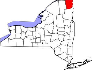 Location of Clinton County in New York
List of the National Register of Historic Places listings in Clinton County, New York
This is intended to be a complete list of National Register of Historic Places in Clinton County, New York. The locations of National Register properties and districts for which the latitude and longitude coordinates are included below, may be seen in a Google map.[1]
-
- This National Park Service list is complete through NPS recent listings posted November 18, 2011.[2]
Contents: Counties in New York Albany (Albany) – Allegany – Bronx – Broome – Cattaraugus – Cayuga – Chautauqua – Chemung – Chenango – Clinton – Columbia – Cortland – Delaware – Dutchess – Erie (Buffalo) – Essex – Franklin – Fulton – Genesee – Greene – Hamilton – Herkimer – Jefferson – Kings (Brooklyn) – Lewis – Livingston – Madison – Monroe (Rochester) – Montgomery – Nassau – New York (Manhattan – Below 14th Street, 14th to 59th Streets, 59th to 110th Streets, Above 110th Street, Islands) – Niagara – Oneida – Onondaga (Syracuse) – Ontario – Orange – Orleans – Oswego – Otsego – Putnam – Queens – Rensselaer – Richmond (Staten Island) – Rockland – Saratoga – Schenectady – Schoharie – Schuyler – Seneca – St. Lawrence – Steuben – Suffolk – Sullivan – Tioga – Tompkins – Ulster – Warren – Washington – Wayne – Westchester (New Rochelle, Peekskill, Yonkers) – Wyoming – Yates Listings county-wide
[3] Landmark name Image Date listed Location City or town Summary 1 Adirondack Park 
October 15, 1966 NE New York State
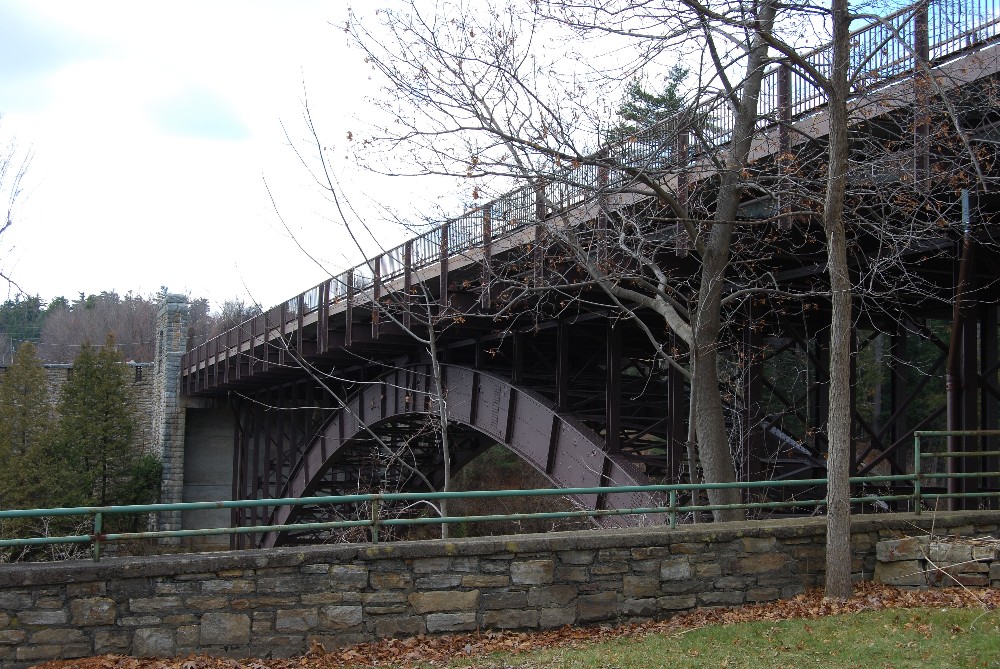
43°58′43″N 74°18′42″W / 43.978611°N 74.311667°WThe southwest part of the county. 2 AuSable Chasm Bridge 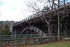
November 12, 1999 NY 9 over Ausable River
44°31′29″N 73°27′48″W / 44.524722°N 73.463333°WAusable Chasm (Chesterfield) 3 William Bailey House November 12, 1982 176 Cornelia St.
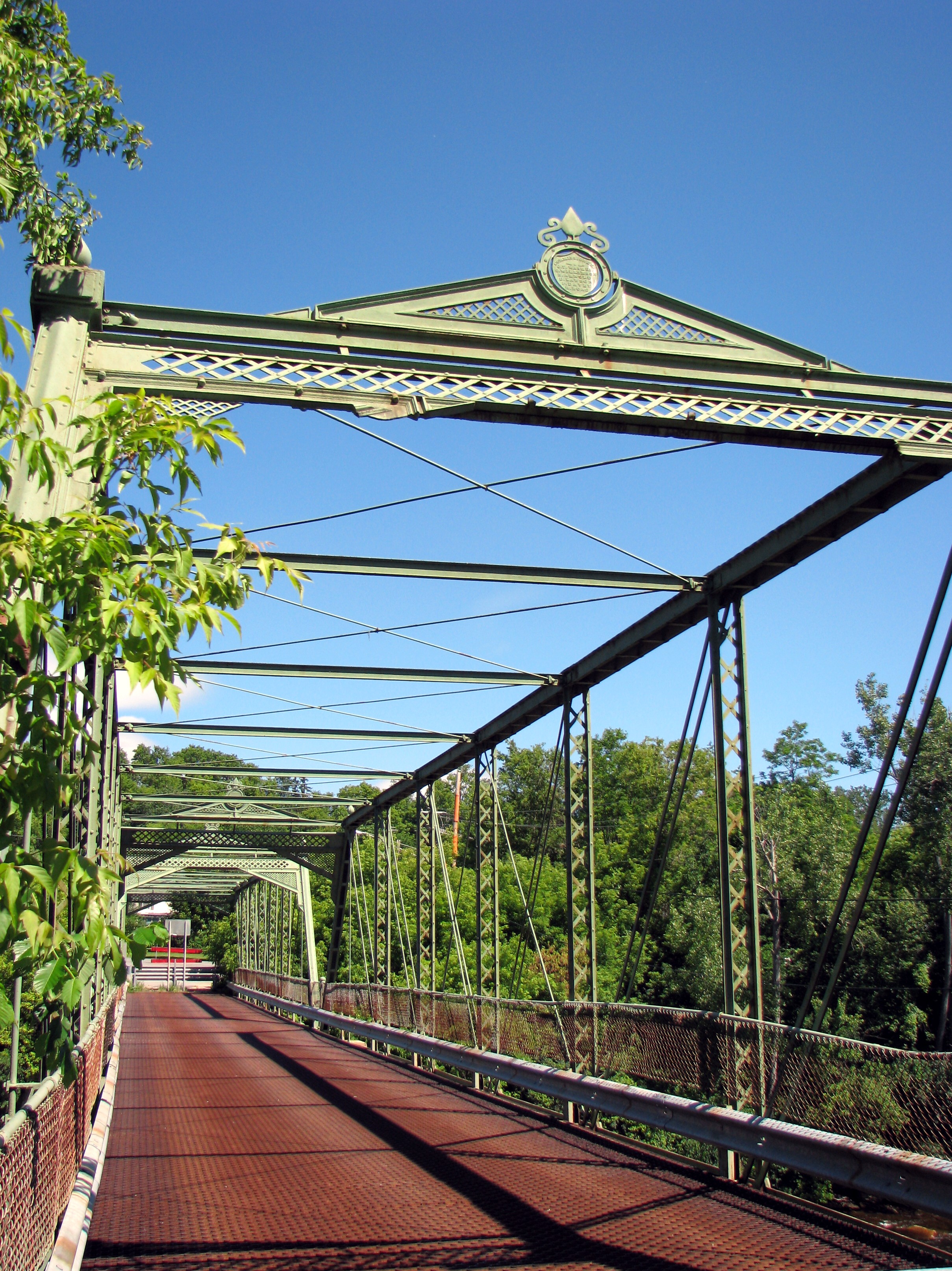
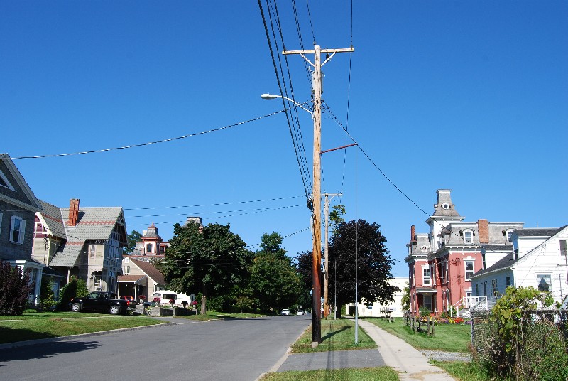
44°42′03″N 73°27′53″W / 44.700833°N 73.464722°WPlattsburgh 4 Brinkerhoff Street Historic District November 12, 1982 Brinkerhoff St. between Oak and N. Catherine Sts.
44°41′49″N 73°27′25″W / 44.696944°N 73.456944°WPlattsburgh 5 Carpenter's Flats Bridge 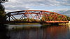
November 12, 1999 NY 9 over AuSable R.
44°33′32″N 73°26′57″W / 44.558889°N 73.449167°WAuSable and Peru 6 John B. Carpenter House November 12, 1982 42 Prospect Ave.
44°42′02″N 73°28′24″W / 44.700556°N 73.473333°WPlattsburgh 7 Church of St. Dismas, the Good Thief November 21, 1991 Clinton Correctional Facility, Cook St.
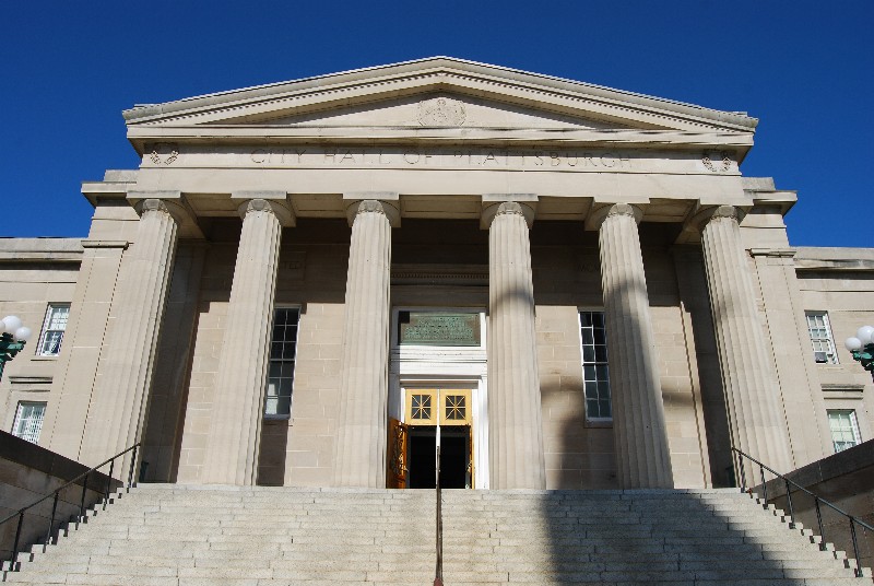
44°43′29″N 73°43′21″W / 44.724722°N 73.7225°WDannemora 8 City Hall 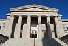
December 12, 1973 City Hall Pl.
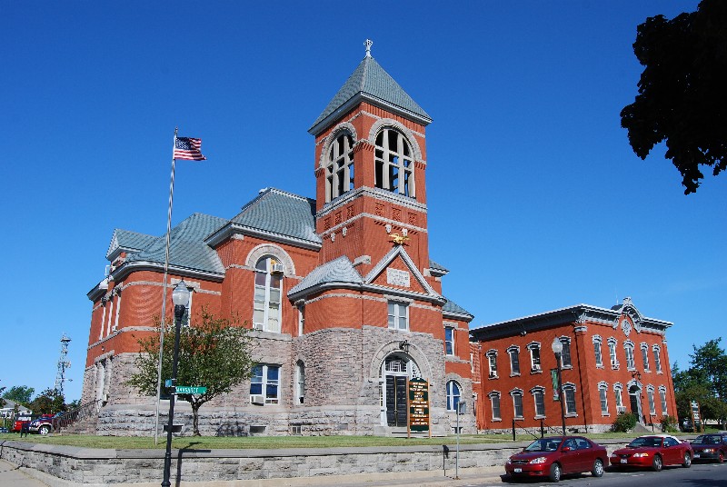
44°41′57″N 73°27′09″W / 44.699167°N 73.4525°WPlattsburgh 9 Clinton County Courthouse Complex 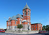
November 12, 1982 135 Margaret St.
44°41′56″N 73°27′13″W / 44.698889°N 73.453611°WPlattsburgh 10 Court Street Historic District February 24, 1983 Court St. between Oak and Beekman Sts.
44°41′53″N 73°27′32″W / 44.698056°N 73.458889°WPlattsburgh 11 D & H Railroad Complex 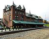
November 12, 1982 Bridge St.
44°41′51″N 73°26′43″W / 44.6975°N 73.445278°WPlattsburgh 12 D'Youville Academy November 12, 1982 100 Cornelia St.
44°41′58″N 73°27′28″W / 44.699444°N 73.457778°WPlattsburgh 13 Delaware and Hudson Railroad Bridge November 12, 1999 Over AuSable River northeast of Lakeside Rd.
44°33′20″N 73°26′05″W / 44.555556°N 73.434722°WAuSable and Peru 14 Double-Span Metal Pratt Truss Bridge 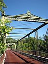
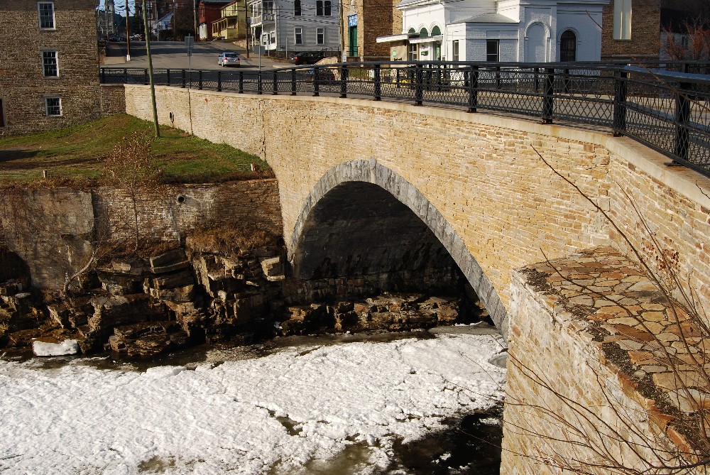
May 20, 1983 AuSable St.
44°30′01″N 73°29′07″W / 44.500278°N 73.485278°WKeeseville 15 First Presbyterian Church November 12, 1982 34 Brinkerhoff St.
44°41′50″N 73°27′16″W / 44.697222°N 73.454444°WPlattsburgh 16 Fort Brown Site December 15, 1978 Northwest of the intersection of Elizabeth St. and State Route 9
44°41′19″N 73°27′01″W / 44.688611°N 73.450278°WPlattsburgh 17 Fort Montgomery 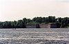
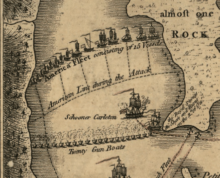
August 22, 1977 Address Restricted Rouses Point Site of American fort built on Lake Champlain, accidentally located over the border in Canada 18 W. W. Hartwell House & Dependencies November 12, 1982 77 Brinkerhoff St.
44°41′47″N 73°27′32″W / 44.696389°N 73.458889°WPlattsburgh 19 Hawkins Hall November 12, 1982 Beekman St.
44°41′50″N 73°28′04″W / 44.697222°N 73.467778°WPlattsburgh 20 Heyworth–Mason Industrial Building Heyworth–Mason Industrial BuildingMay 6, 2011 Mason Hill Road
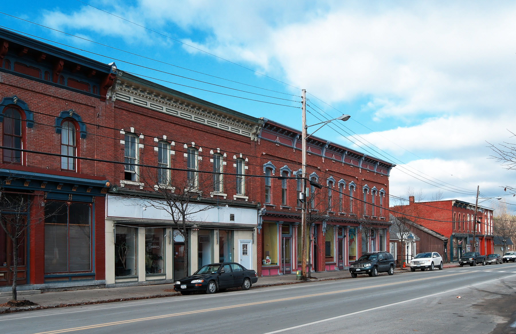
44°34′44″N 73°31′28″W / 44.578889°N 73.524444°WPeru New listing; refnum 11000250 21 House at 56 Cornelia Street November 12, 1982 56 Cornelia St.
44°41′58″N 73°27′09″W / 44.699444°N 73.4525°WPlattsburgh 22 Keeseville Historic District 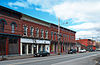
May 20, 1983 Roughly bounded by Vine, Chesterfield, Clinton, Hill, Pleasant, Front, and Beech Sts.
44°30′16″N 73°28′58″W / 44.504444°N 73.482778°WKeeseville 23 Kent-Delord House February 18, 1971 17 Cumberland Ave.
44°42′12″N 73°27′08″W / 44.703333°N 73.452222°WPlattsburgh 24 Lyon Mountain Railroad Station February 14, 2002 2914 First St.
44°43′35″N 73°54′39″W / 44.726389°N 73.910833°WLyon Mountain 25 Paul Marshall House November 12, 1982 24-26 Cornelia St.
44°41′59″N 73°27′09″W / 44.699722°N 73.4525°WPlattsburgh 26 Miller Homestead July 28, 1999 664 Hallock Hill Rd.
44°31′26″N 73°33′40″W / 44.523889°N 73.561111°WAu Sable 27 Alice T. Miner Colonial Collection 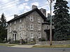
September 24, 2010 9618 State Road Route 9
44°53′10″N 73°26′08″W / 44.886111°N 73.435556°WChazy New listing; refnum 10000799 28 Old State Road Bridge November 12, 1999 Co. Rt. 17B over AuSable R.
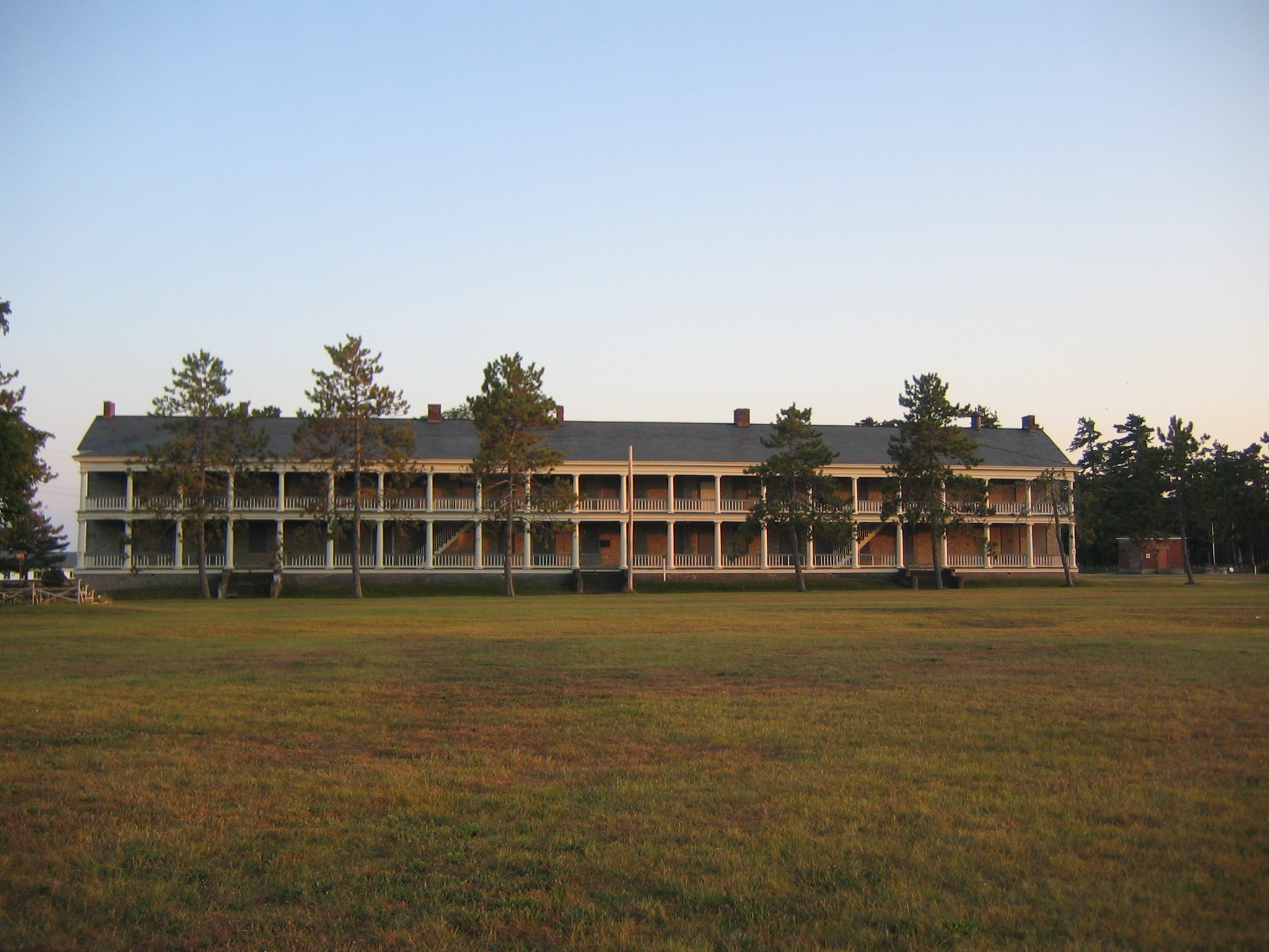
44°31′25″N 73°27′37″W / 44.523611°N 73.460278°WAuSable Chasm 29 Old Stone Barracks 
February 18, 1971 Rhode Island Ave., Plattsburgh Air Force Base
44°40′51″N 73°26′42″W / 44.680833°N 73.445°WPlattsburgh 30 Palmer Brook Bridge November 12, 1999 Golf Course Rd. over Palmer Brook
44°26′37″N 73°40′29″W / 44.443611°N 73.674722°WAuSable Forks 31 Peru Community Church February 2, 2001 12 Elm St.
44°34′43″N 73°31′40″W / 44.578611°N 73.527778°WPeru 32 Charles C. Platt Homestead November 12, 1982 96-98 Boynton Ave.
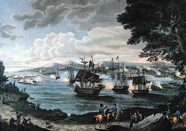
44°42′30″N 73°27′40″W / 44.708333°N 73.461111°WPlattsburgh 33 Plattsburgh Bay 
October 15, 1966 Cumberland Bay, E of Plattsburgh
44°41′17″N 73°24′58″W / 44.688056°N 73.416111°WPlattsburgh 34 The Point, Historic District 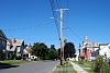
November 12, 1982 Roughly bounded by Jay, Hamilton, Peru, and Bridge Sts.
44°41′54″N 73°26′46″W / 44.698333°N 73.446111°WPlattsburgh 35 Z. Ritchie House November 12, 1982 26 S. Catherine St.
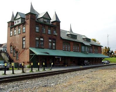
44°42′02″N 73°27′27″W / 44.700556°N 73.4575°WPlattsburgh 36 Rouses Point Railroad Station 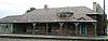
January 5, 2005 68 Pratt St.
44°59′42″N 73°22′18″W / 44.995°N 73.371667°WRouses Point 37 St. John the Baptist Roman Catholic Church and Rectory November 12, 1982 20 Broad St.
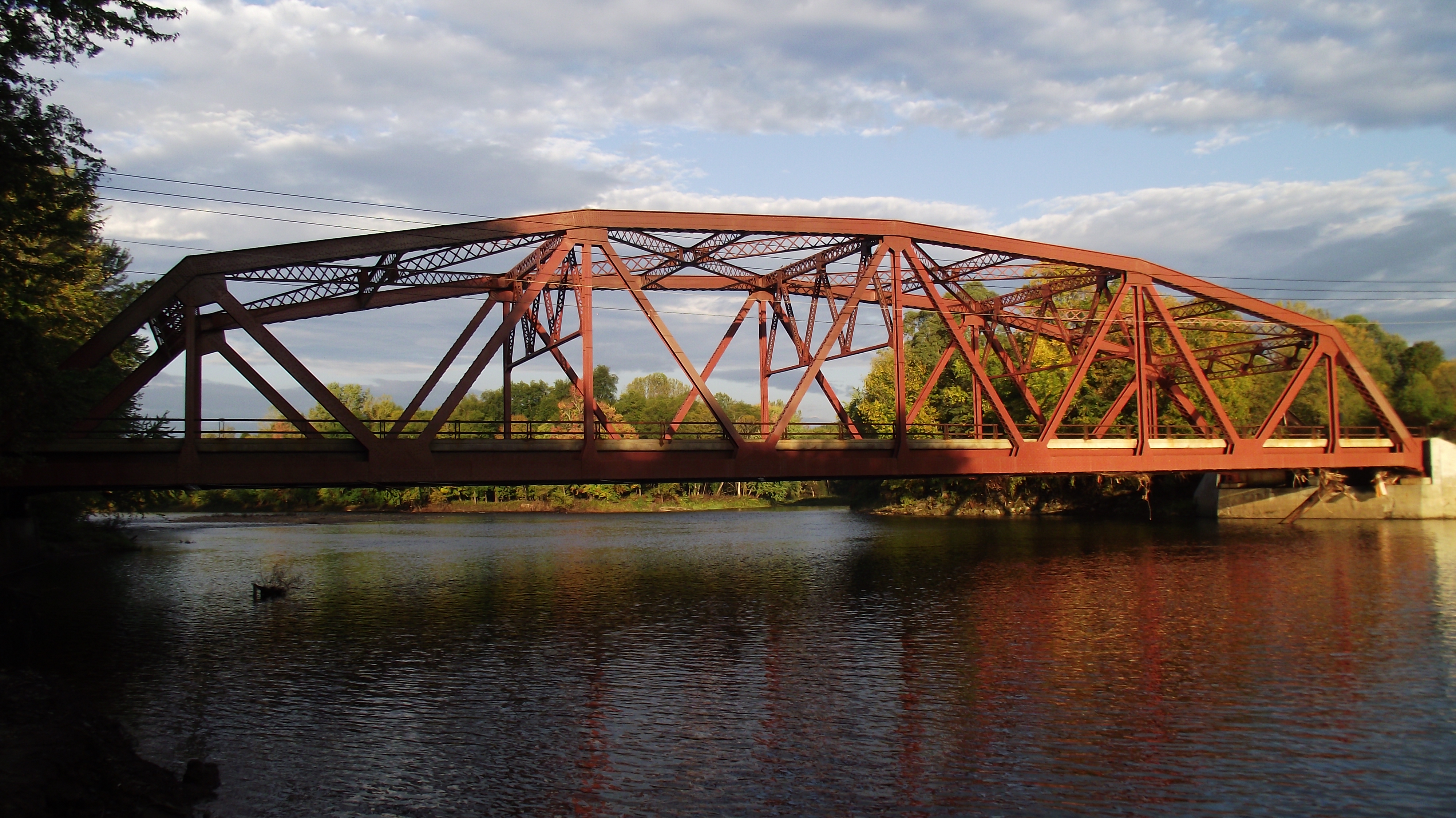
44°41′44″N 73°27′17″W / 44.695556°N 73.454722°WPlattsburgh 38 Stone Arch Bridge 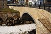
November 12, 1999 Main St. over AuSable R.
44°30′19″N 73°28′52″W / 44.505278°N 73.481111°WKeeseville 39 USS Spitfire (1776 gunboat) 
July 24, 2008 Address restricted Lake Champlain Shared with Essex County (new listing, refnum 08000694) 40 Strand Theater September 15, 2008 25 Brinkerhoff St.
44°30′13″N 73°28′58″W / 44.503611°N 73.482778°WPlattsburgh 41 Swing Bridge November 12, 1999 Over AuSable R. between Clinton and S. AuSable Sts.
44°30′13″N 73°28′58″W / 44.503611°N 73.482778°WKeeseville 42 United States Oval Historic District 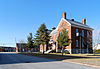
August 30, 1989 Plattsburgh Air Force Base
44°41′11″N 73°26′53″W / 44.686389°N 73.448056°WPlattsburgh 43 Valcour Bay 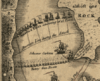
October 15, 1966 7 mi. S of Plattsburgh on the W shore of Lake Champlain
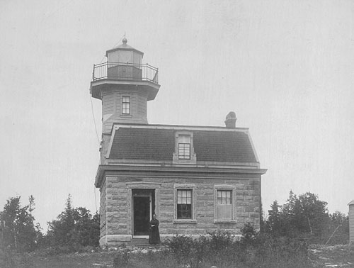
44°38′05″N 73°25′47″W / 44.634722°N 73.429722°WPlattsburgh 44 Valcour Island Lighthouse 
August 26, 1993 Valcour Island, Lake Champlain
44°37′24″N 73°25′55″W / 44.623333°N 73.431944°WPeru A.K.A. Point Bluff Light 45 S. F. Vilas Home for Aged & Infirmed Ladies November 12, 1982 Beekman and Cornelia Sts.
44°41′56″N 73°28′02″W / 44.698889°N 73.467222°WPlattsburgh 46 W. G. Wilcox House February 24, 1983 45-51 Lorraine St.
44°42′08″N 73°26′52″W / 44.702222°N 73.447778°WPlattsburgh 47 Warrenrath Camp November 29, 2010 55 Island Dr.
44°45′19″N 73°48′05″W / 44.755278°N 73.801389°WDannemora vicinity New listing; refnum 10000943 48 Winslow-Turner Carriage House November 12, 1982 210 Cornelia St.
44°41′56″N 73°28′28″W / 44.698889°N 73.474444°WPlattsburgh See also
References
- ^ The latitude and longitude information provided is primarily from the National Register Information System, and has been found to be fairly accurate for about 99% of listings. For 1%, the location info may be way off. We seek to correct the coordinate information wherever it is found to be erroneous. Please leave a note in the Discussion page for this article if you believe any specific location is incorrect.
- ^ "National Register of Historic Places: Weekly List Actions". National Park Service, United States Department of the Interior. Retrieved on November 18, 2011.
- ^ Numbers represent an ordering by significant words. Various colorings, defined here, differentiate National Historic Landmark sites and National Register of Historic Places Districts from other NRHP buildings, structures, sites or objects.
External links
A useful list of the above sites, with street addresses and other information, is available at Clinton County, New York, listing, at National Register of Historic Places.Com, a private site serving up public domain information on NRHPs.
Categories:- Clinton County, New York
- National Register of Historic Places in New York by county
-


Wikimedia Foundation. 2010.