- National Register of Historic Places listings in Columbia County, New York
-
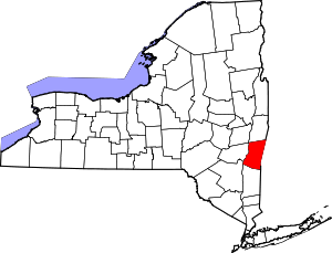 Location of Columbia County in New York
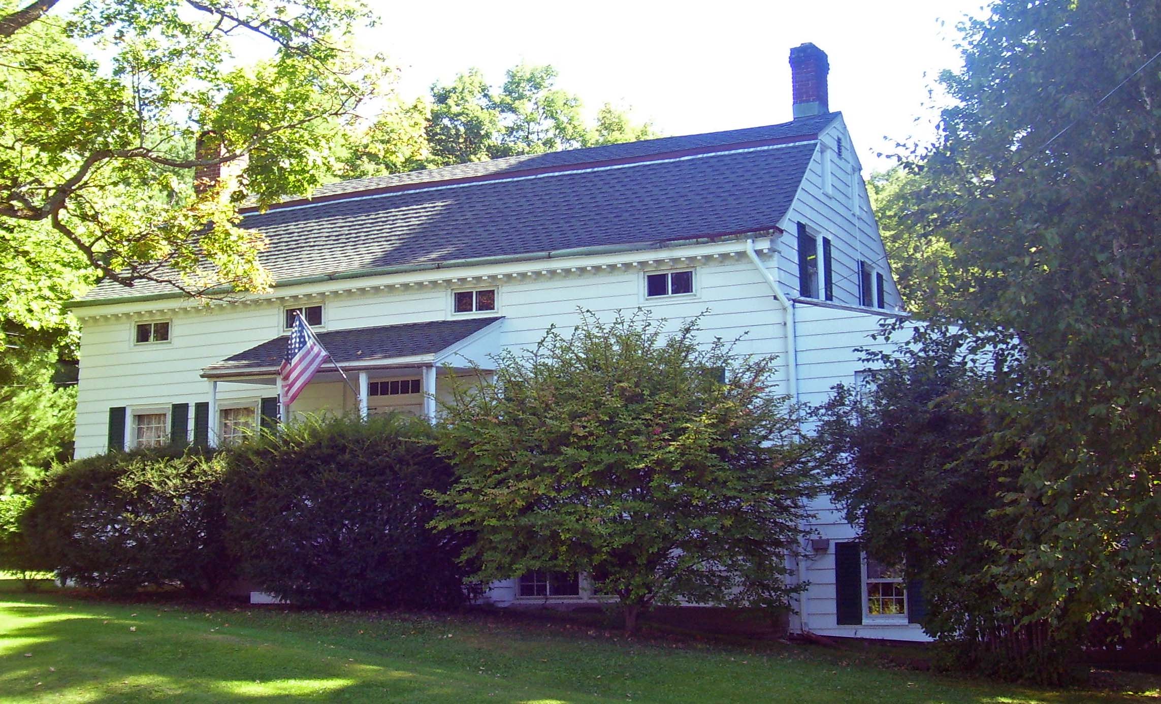
List of the National Register of Historic Places listings in Columbia County, New York
This is intended to be a complete list of properties and districts listed on the National Register of Historic Places in Columbia County, New York. There are seven properties and districts which are further designated National Historic Landmarks.
The locations of National Register properties and districts for which the latitude and longitude coordinates are included below, may be seen in a Google map.[1]
-
- This National Park Service list is complete through NPS recent listings posted November 18, 2011.[2]
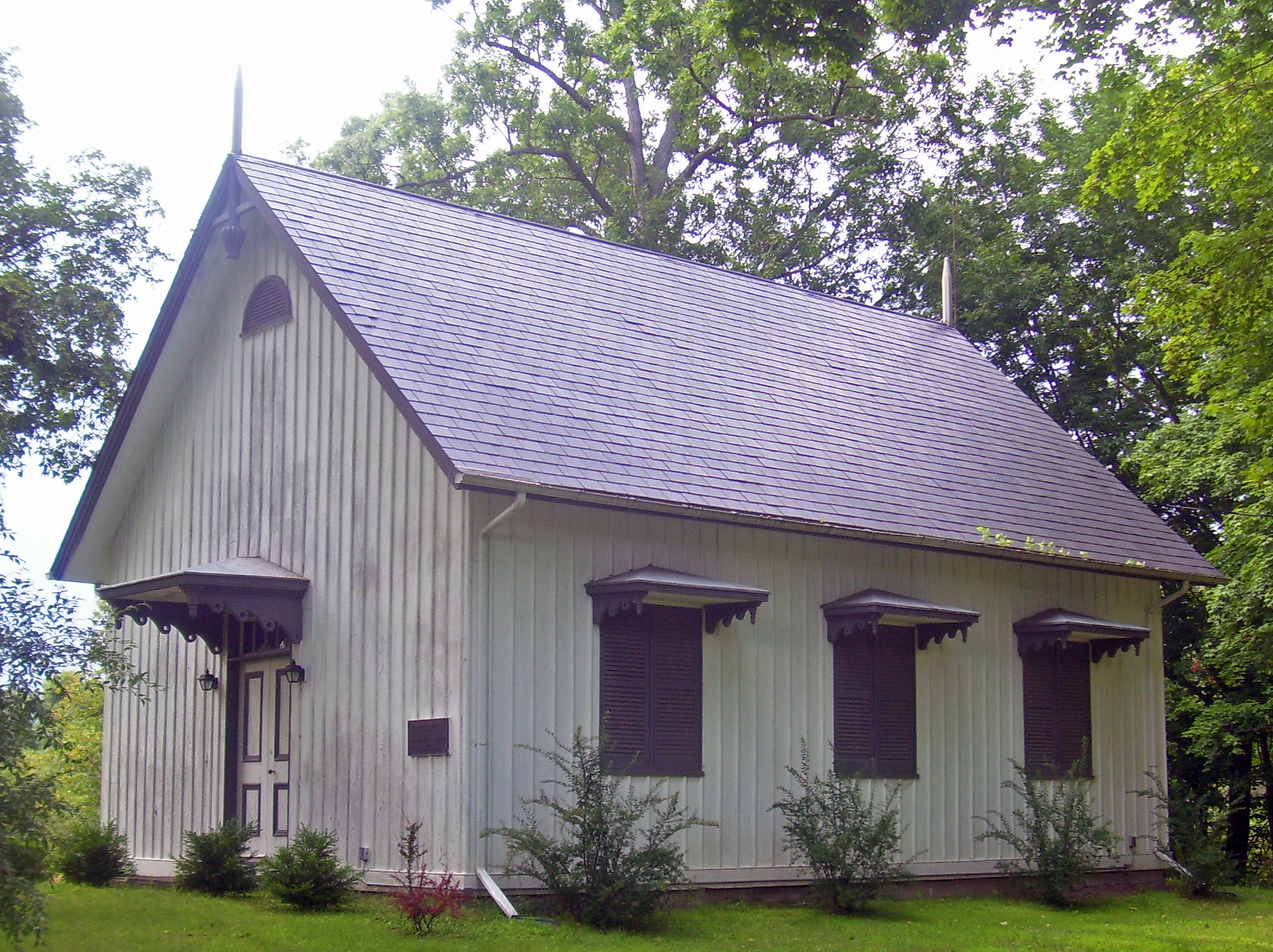
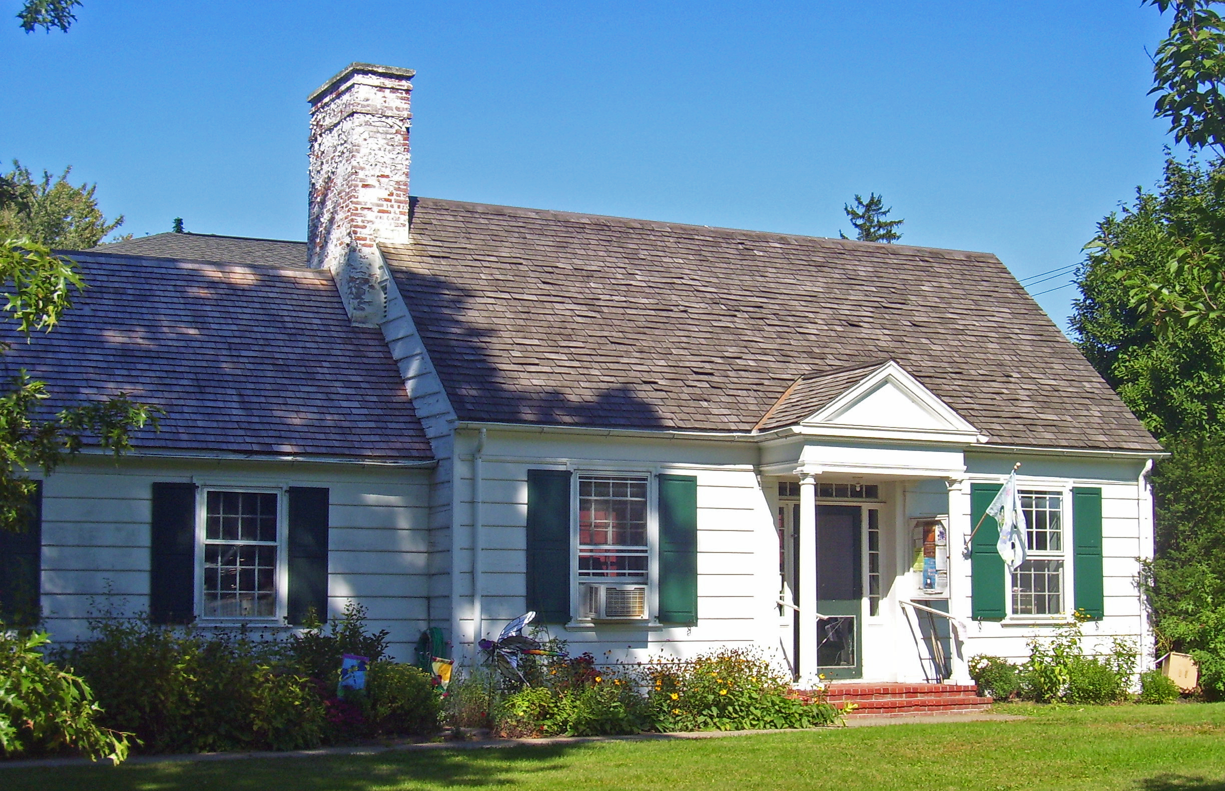
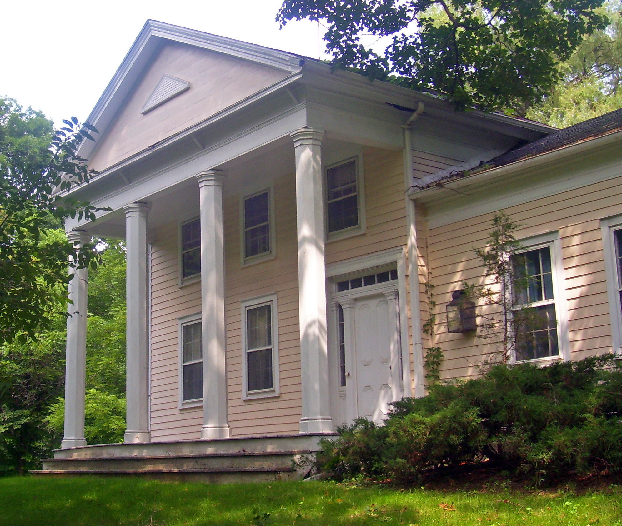
Contents: Counties in New York Albany (Albany) – Allegany – Bronx – Broome – Cattaraugus – Cayuga – Chautauqua – Chemung – Chenango – Clinton – Columbia – Cortland – Delaware – Dutchess – Erie (Buffalo) – Essex – Franklin – Fulton – Genesee – Greene – Hamilton – Herkimer – Jefferson – Kings (Brooklyn) – Lewis – Livingston – Madison – Monroe (Rochester) – Montgomery – Nassau – New York (Manhattan – Below 14th Street, 14th to 59th Streets, 59th to 110th Streets, Above 110th Street, Islands) – Niagara – Oneida – Onondaga (Syracuse) – Ontario – Orange – Orleans – Oswego – Otsego – Putnam – Queens – Rensselaer – Richmond (Staten Island) – Rockland – Saratoga – Schenectady – Schoharie – Schuyler – Seneca – St. Lawrence – Steuben – Suffolk – Sullivan – Tioga – Tompkins – Ulster – Warren – Washington – Wayne – Westchester (New Rochelle, Peekskill, Yonkers) – Wyoming – Yates Listings county-wide
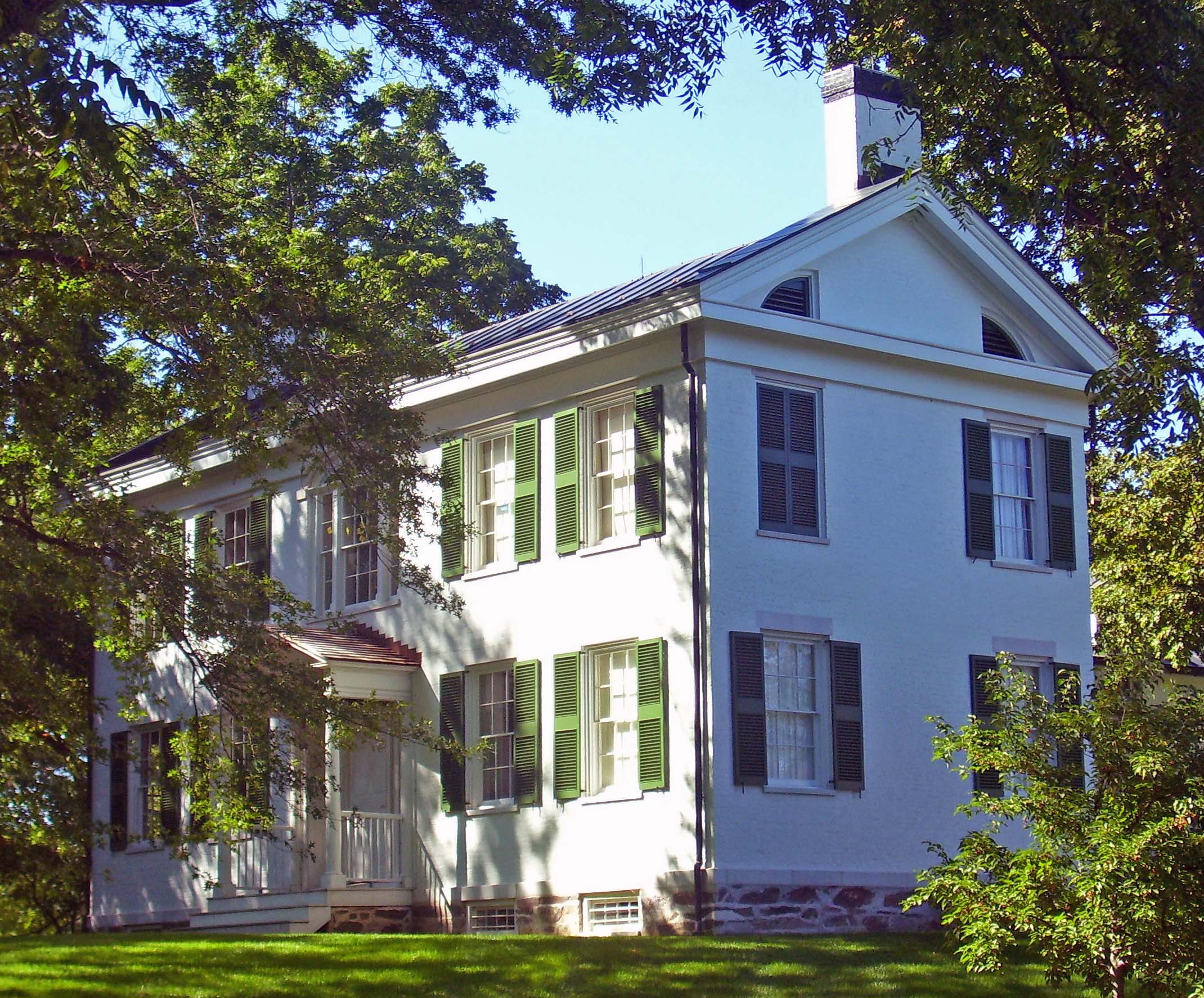
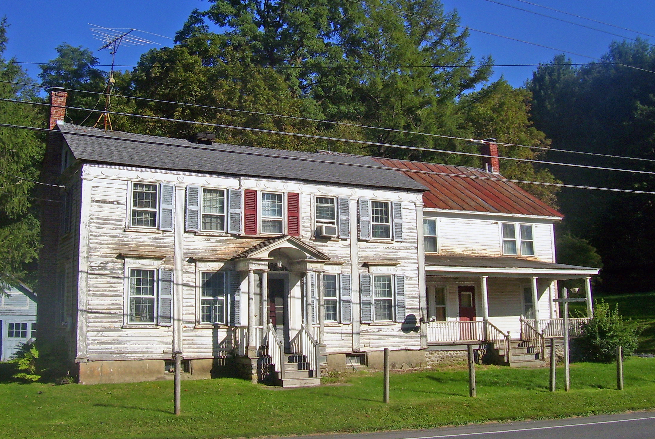
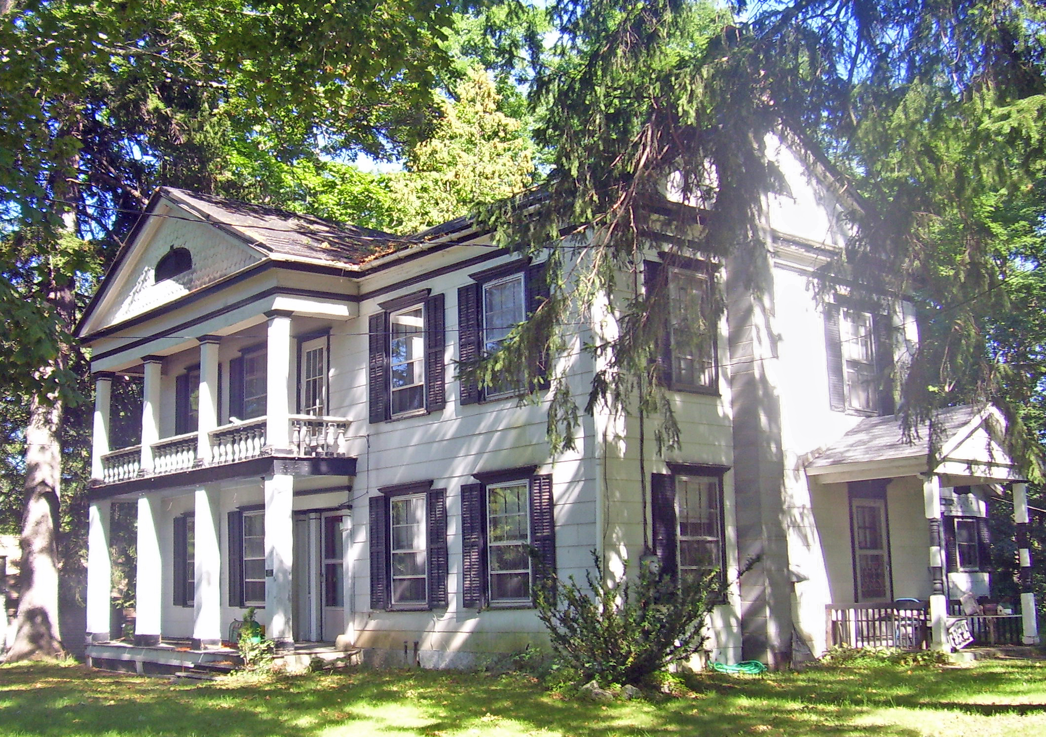
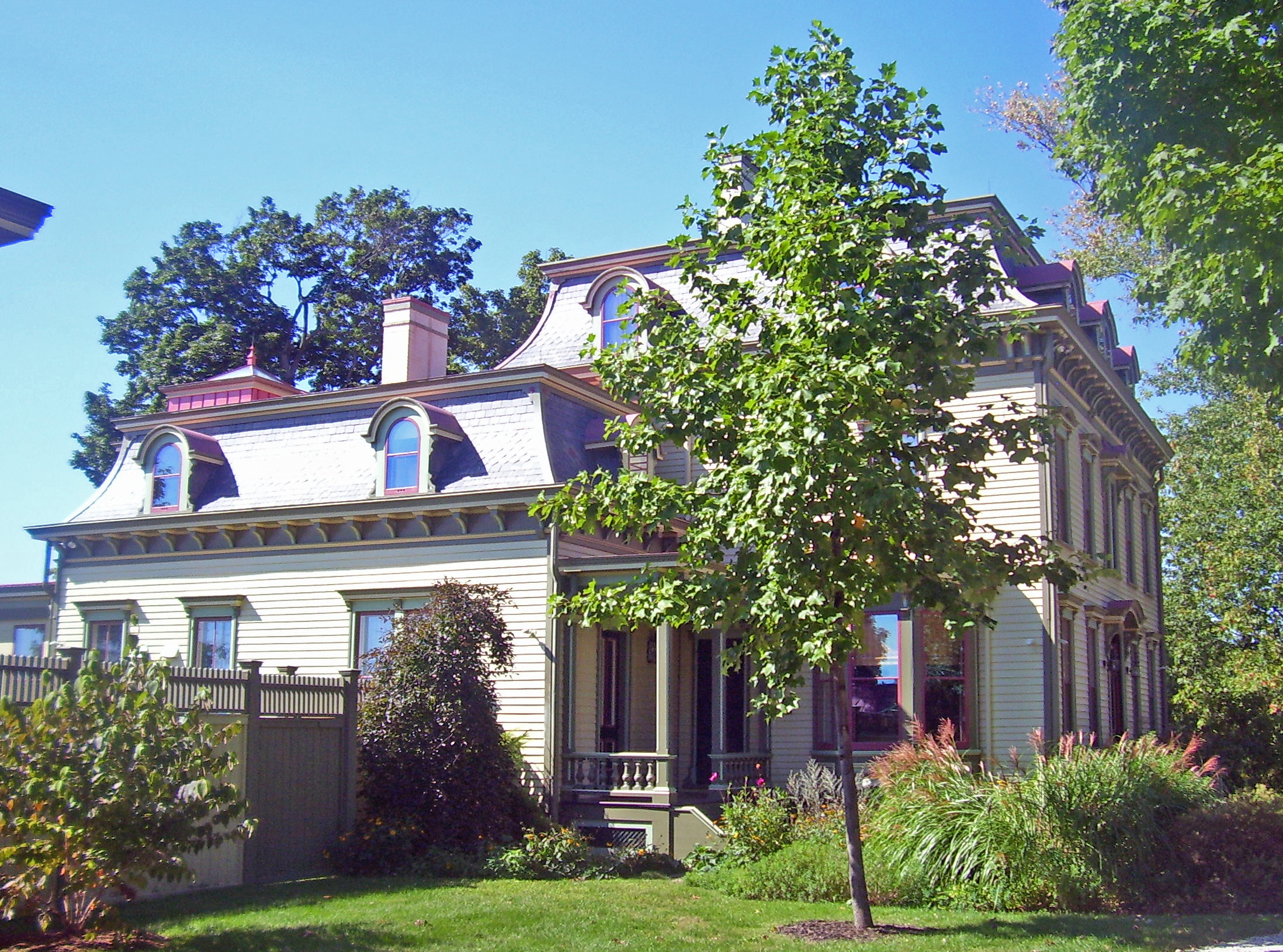
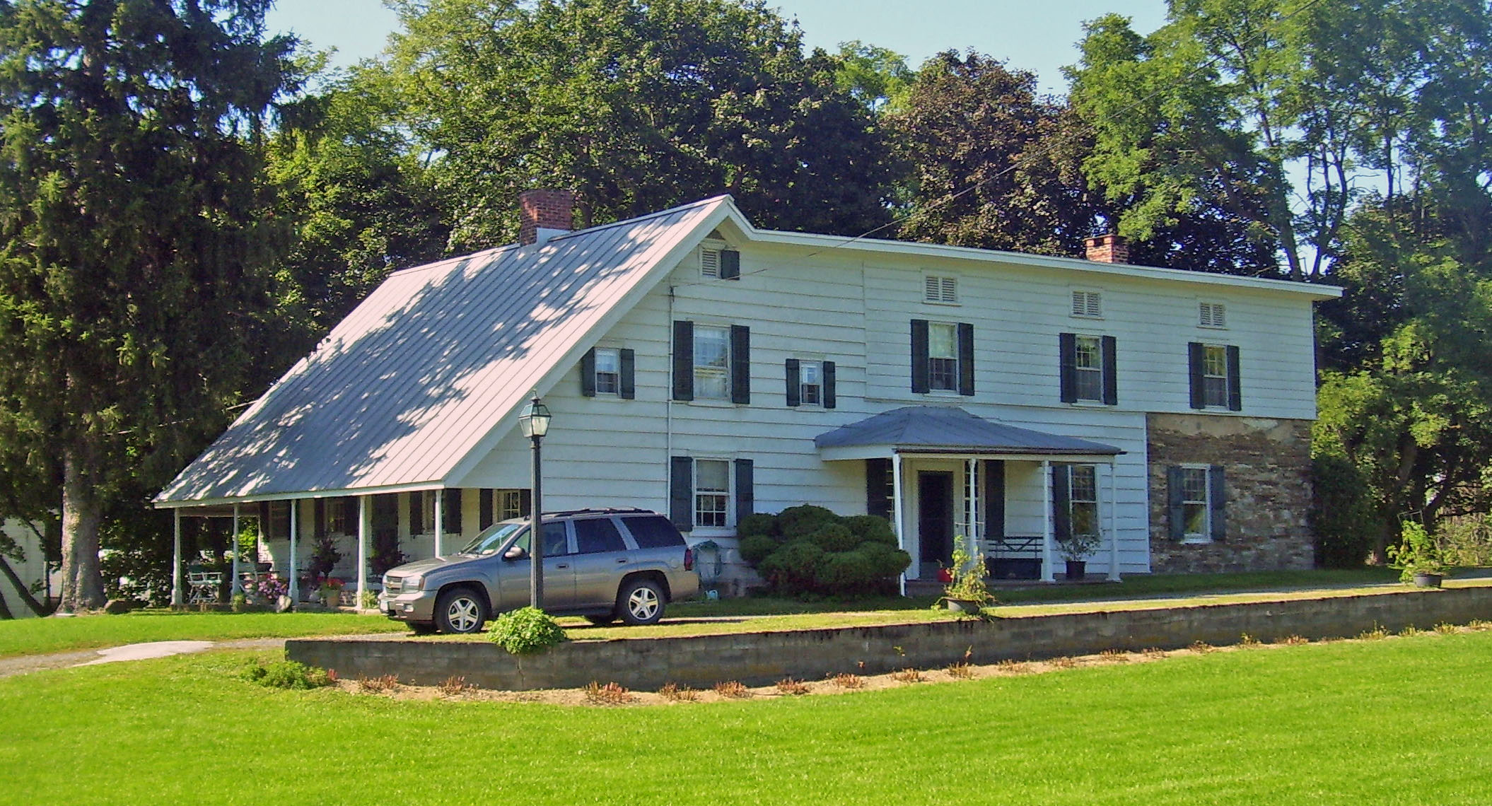
[3] Landmark name Image Date listed Location City or town Summary 1 Blinn-Pulver Farmhouse February 12, 2003 219 Hudson Ave.
42°20′57″N 73°36′14″W / 42.349167°N 73.603889°WChatham 2 Bouwerie October 7, 1983 Buckwheat Bridge Rd.
42°05′22″N 73°48′46″W / 42.089444°N 73.812778°WClermont 3 Thomas Brodhead House October 7, 1983 US 9
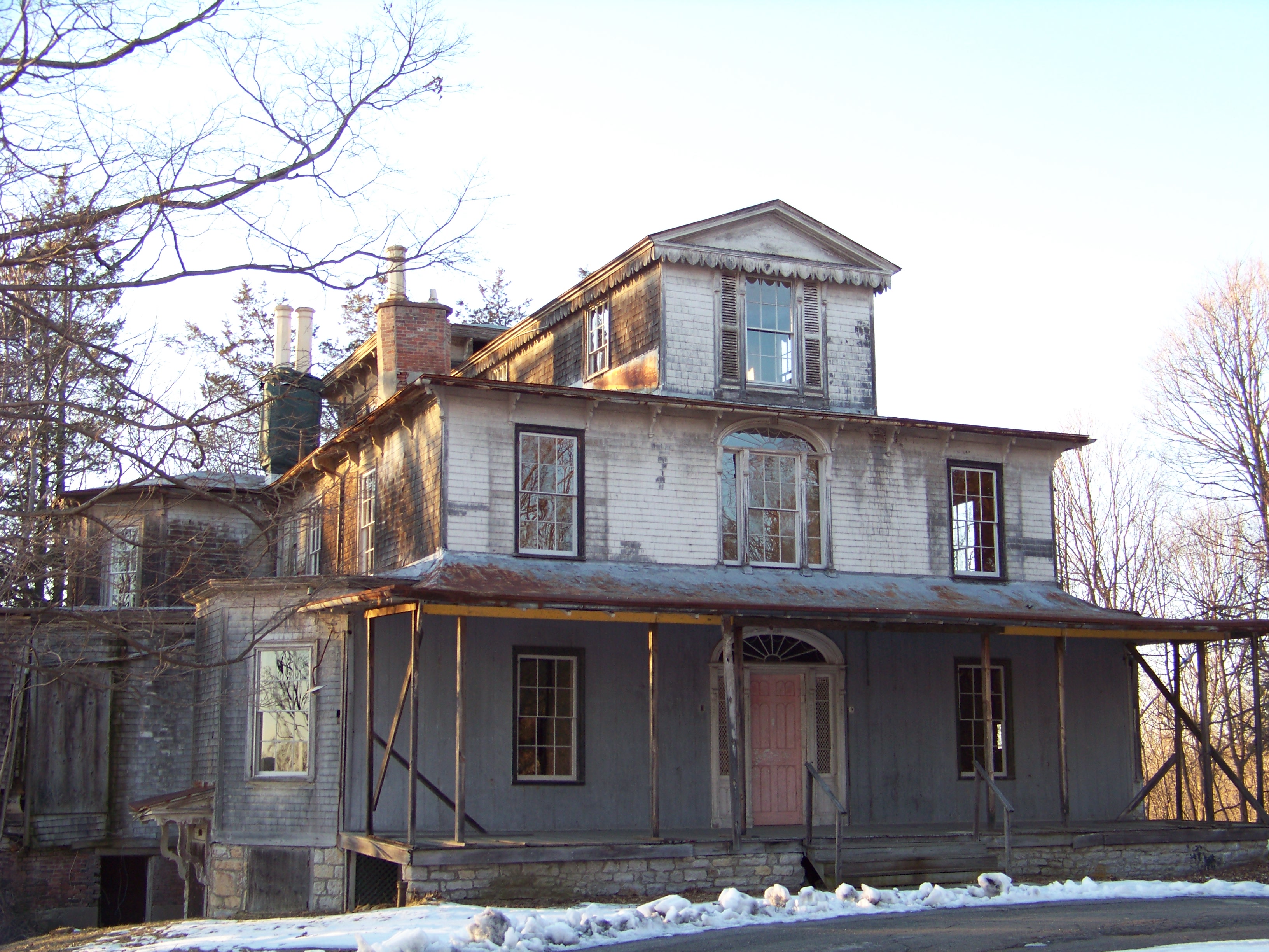
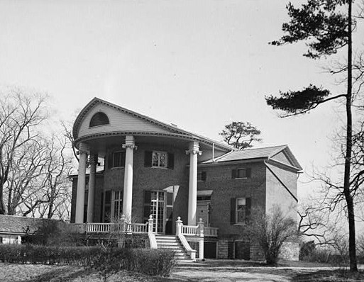
42°05′24″N 73°49′21″W / 42.09°N 73.8225°WClermont 4 Dr. Oliver Bronson House and Estate 
July 31, 2003 West of US 9
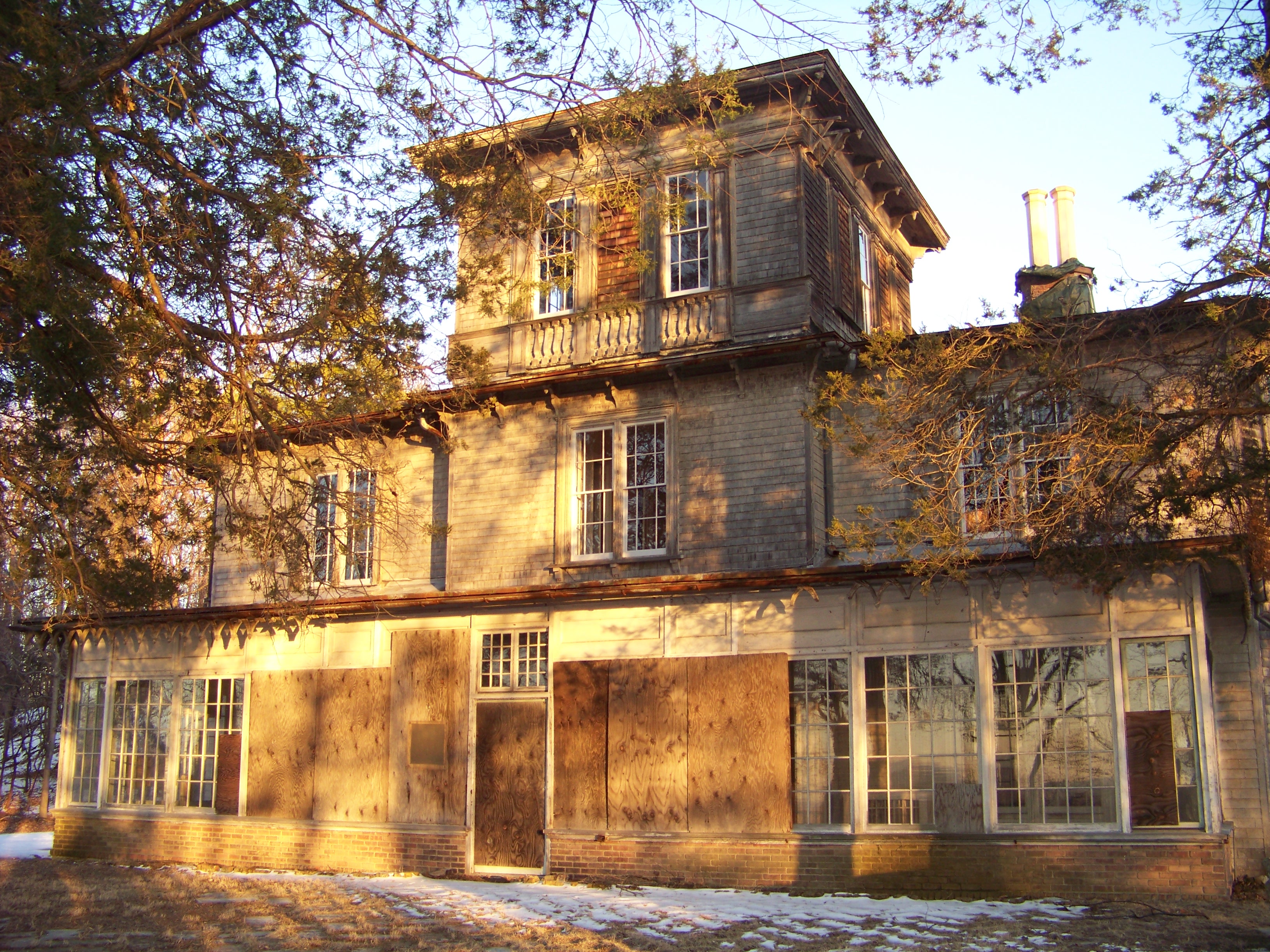
42°14′35″N 73°47′08″W / 42.243031°N 73.785464°WHudson First house built in Hudson River Bracketed style. Now on prison grounds. 5 Dr. Oliver Bronson House and Stables 
February 20, 1973 S of Hudson off U.S. 9
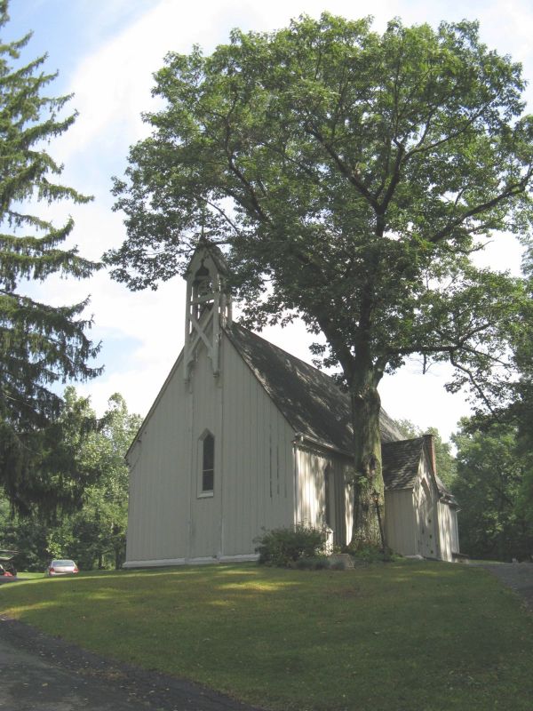
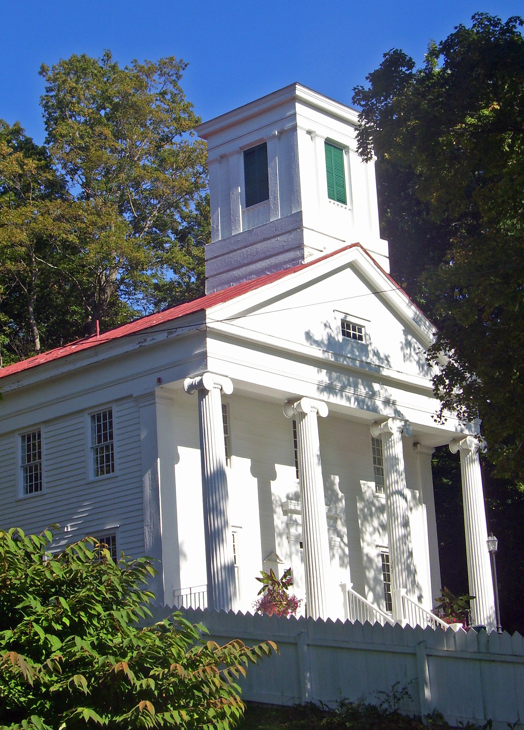
42°14′28″N 73°47′06″W / 42.241225°N 73.784892°WHudson 6 Church of Our Saviour February 14, 1997 NY 22, near jct. with US 20, Hamlet of Lebanon Springs
42°28′27″N 73°22′50″W / 42.474167°N 73.380556°WNew Lebanon 7 Church of St. John in the Wilderness 
August 10, 1995 Jct. of NY 344 and Valley View Rd.
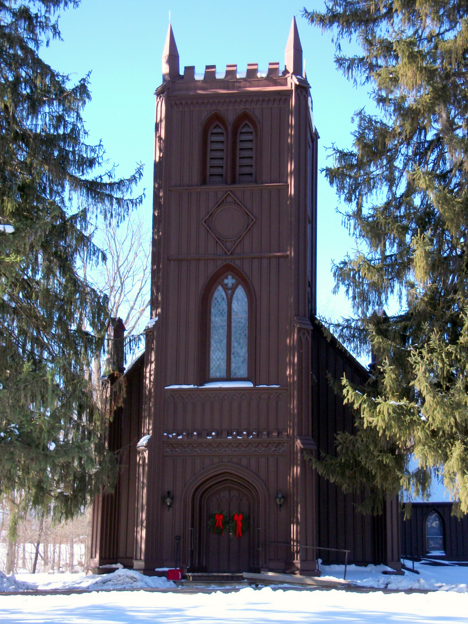
42°07′14″N 73°31′09″W / 42.120556°N 73.519167°WCopake Falls 8 Church of St. John the Evangelist 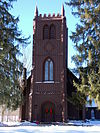
April 13, 1972 Chittenden Rd.
42°18′30″N 73°44′51″W / 42.308333°N 73.7475°WStockport 9 Clarkson Chapel 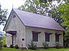
October 7, 1983 NY 9G
42°05′37″N 73°53′48″W / 42.093611°N 73.896667°WClermont 1860 Carpenter Gothic chapel built by Livingston family 10 Claverack Free Library 
January 7, 1998 629 NY 23B
42°13′22″N 73°44′09″W / 42.222778°N 73.735833°WClaverack 1932 Colonial Revival library 11 Clermont 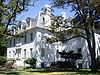
February 18, 1971 Clermont State Park
42°04′59″N 73°55′40″W / 42.083056°N 73.927778°WGermantown Seat of Livingston family lands in region 12 Clermont Academy October 7, 1983 US 9
42°05′12″N 73°49′34″W / 42.086667°N 73.826111°WClermont 13 Clermont Civic Historic District July 3, 2003 1795 US 9
42°05′14″N 73°49′34″W / 42.087222°N 73.826111°WClermont 14 Clermont Estates Historic District May 7, 1979 S of Germantown
42°06′07″N 73°54′53″W / 42.101944°N 73.914722°WGermantown Subsumed into Hudson River Historic District along with Sixteen Mile District 15 Columbia Turnpike-West Tollhouse December 28, 2000 NY 23B
42°14′21″N 73°45′37″W / 42.239167°N 73.760278°WGreenport 16 Coons House 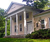
October 7, 1983 NY 9G
42°05′33″N 73°53′41″W / 42.0925°N 73.894722°WClermont 1850 home is only temple-style Greek Revival building in Clermont. 17 Copake Grange Hall July 3, 2001 Empire Rd., S of Old Rte 22
42°06′09″N 73°33′01″W / 42.1025°N 73.550278°WCopake 18 Copake Iron Works Historic District April 18, 2007 Taconic State Park
42°7′9.43″N 73°30′49.66″W / 42.1192861°N 73.5137944°WCopake Falls 19 Copake United Methodist Church and Copake Cemetery June 27, 2007 Church St.
42°06′14″N 73°33′05″W / 42.103889°N 73.551389°WCopake 20 Crow Hill May 9, 1997 Jct. of NY 9H and Co. Rt. 21, NW corner
42°23′22″N 73°41′24″W / 42.389444°N 73.69°WKinderhook 21 Dick House July 29, 2009 641 Co. Rte. 8
42°07′36″N 73°51′17″W / 42.126783°N 73.854778°WGermantown New listing; refnum 09000573 22 Donnelly House August 2, 2000 Cty. Rd. 5
42°26′49″N 73°26′00″W / 42.446944°N 73.433333°WNew Lebanon 23 Dr. Joseph P. Dorr House October 31, 2007 2745 NY 23
42°10′58″N 73°31′05″W / 42.182778°N 73.518056°WHillsdale 24 Double-Span Whipple Bowstring Truss Bridge 
April 17, 1980 Van Wyck Lane
42°12′54″N 73°43′45″W / 42.215°N 73.729167°WClaverack Shaw Bridge, currently closed to all traffic, is only bridge of this type with two spans in the country 25 Henry A. and Evanlina Dubois House 
December 6, 2004 105 Ten Broeck Ln.
42°14′23″N 73°46′53″W / 42.239722°N 73.781389°WHudson 26 Emmanuel Lutheran Church of Harlemville and Cemetery January 24, 2002 Cty. 21 and Pheasant Ln., Harlemville Rd. at Ten Broeck Rd.
42°15′54″N 73°35′03″W / 42.265°N 73.584167°WHarlemville 27 Cornelius H. Evans House 
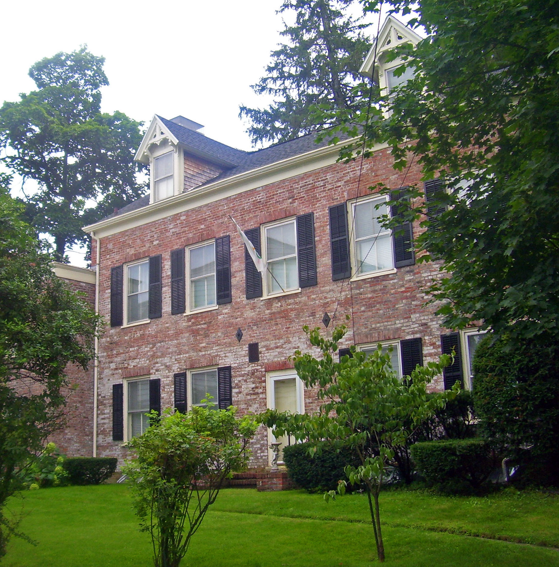
November 1, 1974 414-416 Warren St.
42°15′04″N 73°47′19″W / 42.251111°N 73.788611°WHudson Intact 1861 house of local brewer and two-term city mayor 28 George Felpel House 
August 21, 1997 60 NY 9H
42°13′41″N 73°43′54″W / 42.228056°N 73.731667°WClaverack 1922 Colonial Revival house built with remaining stones from Claverack College 29 First Columbia County Courthouse 
January 7, 1998 549 NY 23B
42°13′23″N 73°44′35″W / 42.223056°N 73.743056°WClaverack 1786 courthouse, now apartments, was original court of Harry Croswell sedition trial 30 First Presbyterian Church 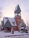
September 7, 1979 Church St.
42°24′55″N 73°40′36″W / 42.415278°N 73.676667°WValatie 31 Forth House Forth HouseJune 11, 2010 2751 US-9
42°09′30″N 73°46′14″W / 42.158361°N 73.770547°WLivingston New listing; refnum 10000331 32 Front Street-Parade Hill-Lower Warren Street Historic District 
March 5, 1970 Front and Warren Sts.
42°15′19″N 73°47′42″W / 42.255278°N 73.795°WHudson Superseded by later Hudson Historic District after some properties demolished 33 German Reformed Sanctity Church Parsonage January 30, 1976 Maple Ave.
42°08′30″N 73°52′59″W / 42.141667°N 73.883056°WGermantown 34 Elisha Gilbert House September 7, 1984 US 20
42°28′09″N 73°25′46″W / 42.469167°N 73.429444°WNew Lebanon 35 Hickory Hill October 7, 1983 Buckwheat Bridge Rd.
42°05′39″N 73°49′06″W / 42.094167°N 73.818333°WClermont 36 Hillsdale Hamlet Historic District Hillsdale Hamlet Historic DistrictJanuary 27, 2010 NY-22 and NY-23, Anthony, Cold Water and Maple Sts., Old Town and Pill Hill Rds.
42°10′48″N 73°31′18″W / 42.179881°N 73.521636°WHillsdale Historic core of small country town 37 Stephen Hogeboom House 
August 21, 1997 562 NY 23B
42°13′21″N 73°44′33″W / 42.2225°N 73.7425°WClaverack Intact late 18th century house at original center of community later renovated in Greek Revival style 38 House at New Forge December 14, 1987 128 New Forge Rd.
42°06′23″N 73°40′32″W / 42.106389°N 73.675556°WNew Forge 39 Houses at 37-47 North Fifth St. 
November 15, 2003 37-47 N. Fifth St.
42°15′02″N 73°47′09″W / 42.250556°N 73.785833°WHudson Intact frame Italianate worker houses from 1870s. Used today by substance-abuse rehabilitation program. 40 Hudson Historic District 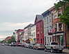
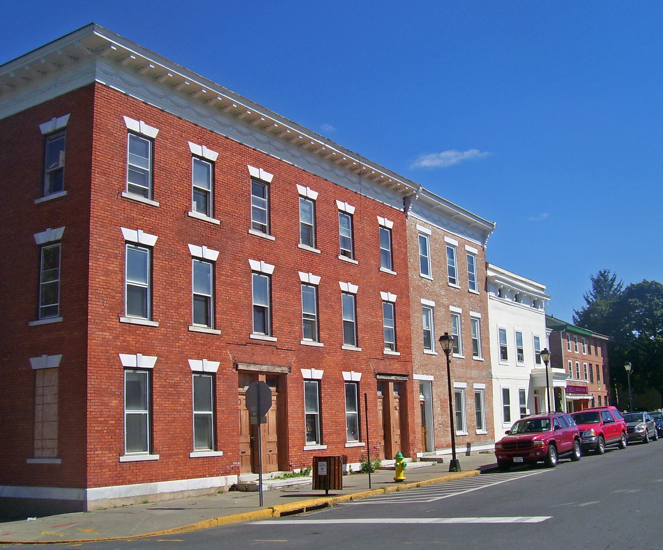
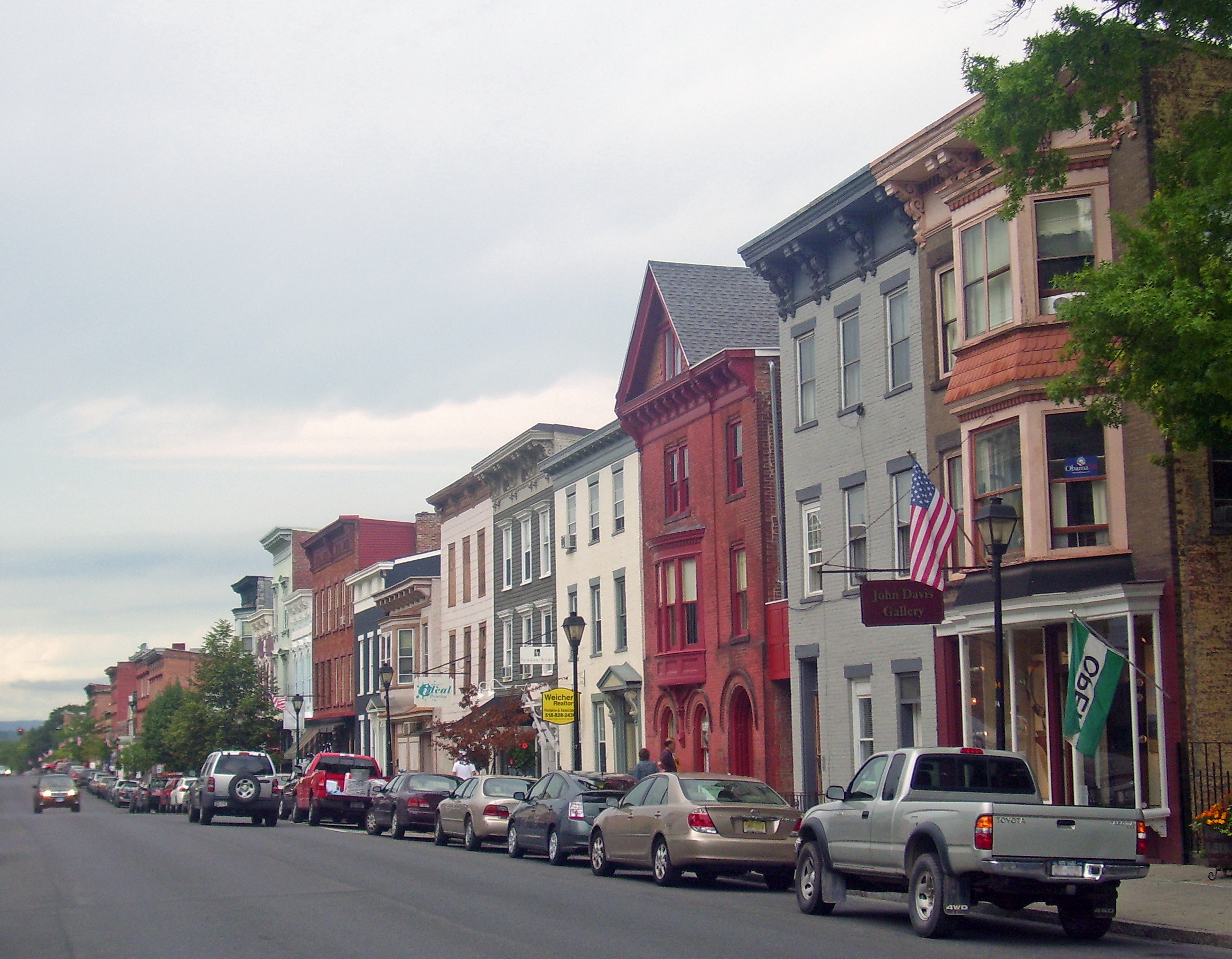
October 21, 1985 Roughly bounded by Warren and State Sts., Eighth and Seventh Sts., E. Allen and Allen St., and Penn Central RR
42°15′00″N 73°47′18″W / 42.25°N 73.788333°WHudson City's downtown developed along grid pattern devised in 1785; over 700 contributing properties from late 18th to early 20th centuries. Warren Street is the most intact 19th-century commercial street in the state. 41 Hudson River Heritage Historic District 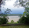
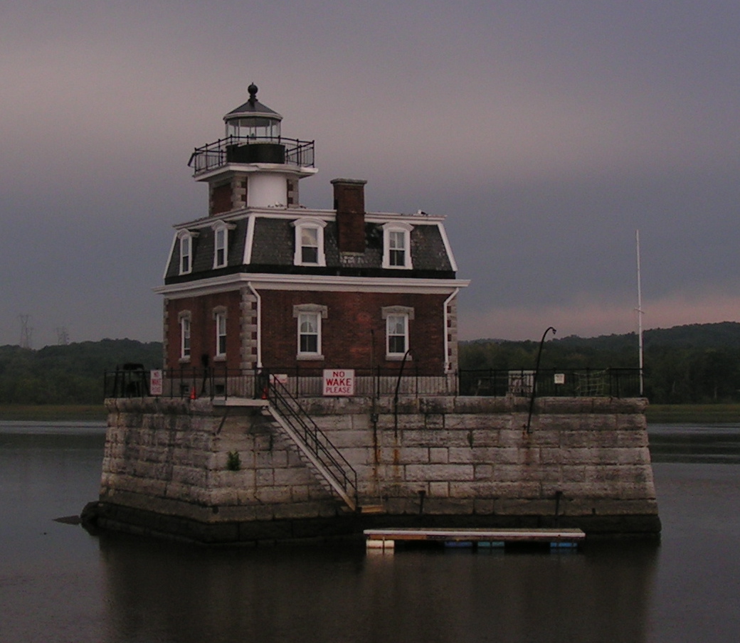
December 14, 1990 East side of the Hudson River between Germantown and Staatsburg Germantown 35 square miles (91 km2) along east bank of river, shared with Dutchess County, retaining architecture and land use from semi-feudal colonial era. Largest historic district on U.S. mainland. 42 Hudson/Athens Lighthouse 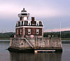
May 29, 1979 S of Middle Ground Flats in Hudson River
42°15′06″N 73°48′32″W / 42.251667°N 73.808889°WHudson 1873 Second Empire lighthouse on caisson is model for Stepping Stones Light off Long Island 43 Dr. Abram Jordan House 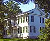
September 9, 1999 137 NY 23
42°13′29″N 73°43′27″W / 42.224722°N 73.724167°WClaverack Intact 1822 Greek Revival house 44 Kinderhook Village District 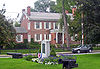
July 24, 1974 Both sides of U.S. 9
42°23′29″N 73°42′02″W / 42.391389°N 73.700556°WKinderhook Intact collection of 18th- and early 19th-century buildings in Martin Van Buren's hometown. 45 Knollcroft August 14, 1985 CR 9
42°23′32″N 73°31′51″W / 42.392222°N 73.530833°WNew Concord 46 Lace House 
February 21, 1985 NY 22 and Miller Rd.
42°22′36″N 73°25′45″W / 42.376667°N 73.429167°WCanaan 1806 Federal-style house preserved intact 47 Lebanon Springs Union Free School November 21, 1991 NY 22 E of jct. with Cemetery Rd.
42°28′26″N 73°22′58″W / 42.473889°N 73.382778°WNew Lebanon 48 Linlithgo Reformed Church of Livingston February 1, 2006 447 Church Rd.
42°08′40″N 73°46′36″W / 42.144444°N 73.776667°WLivingston 49 Livingston Memorial Church and Burial Ground September 12, 1985 CR 10 & Wire Rd.
42°10′16″N 73°50′50″W / 42.171111°N 73.847222°WLinlithgo 50 Henry W. Livingston House February 18, 1971 N of Bell's Pond
42°10′36″N 73°44′58″W / 42.176667°N 73.749444°WLivingston 51 William Henry Ludlow House August 8, 1997 465 NY 23B
42°13′29″N 73°44′46″W / 42.224722°N 73.746111°WClaverack 52 Ludlow-Van Rensselaer House August 21, 1997 465 NY 23B
42°13′31″N 73°44′48″W / 42.225278°N 73.746667°WClaverack 53 Lynch Hotel June 10, 2005 41 Ferry Rd.
42°21′22″N 73°47′12″W / 42.356111°N 73.786667°WNutten Hook 54 James Lynch House James Lynch HouseNovember 13, 2009 33 Ferry Road
42°21′15″N 73°47′08″W / 42.354278°N 73.785669°WNutten Hook New listing; refnum 09000906 55 Melius-Bentley House August 11, 1982 N of Pine Plains on Mt. Ross Rd.
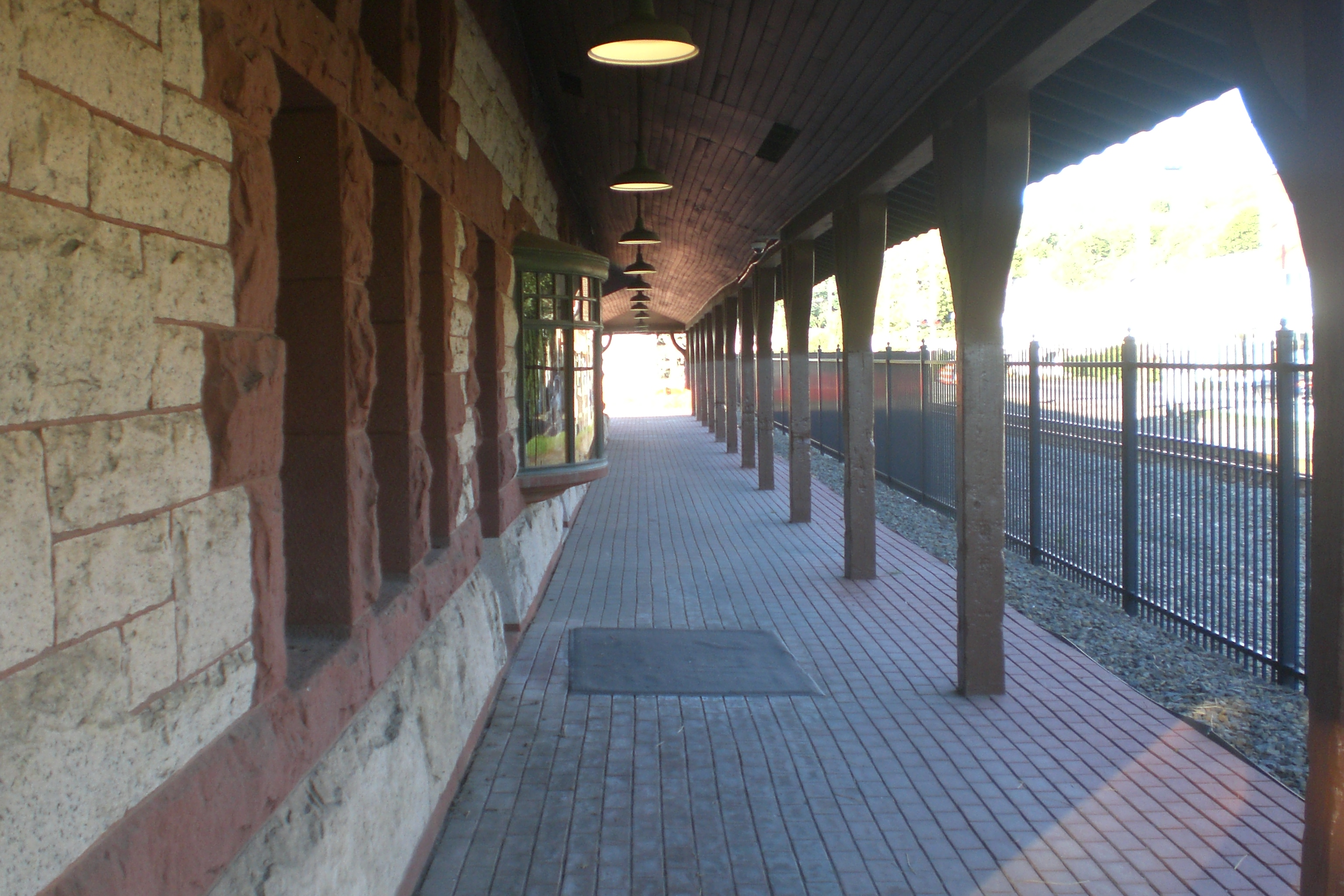
42°00′19″N 73°42′36″W / 42.005278°N 73.71°WAncram 56 Mellenville Railroad Station September 29, 2000 NY 217
42°15′11″N 73°40′05″W / 42.253056°N 73.668056°WMellenville 57 Jacob P. Mesick House 
August 21, 1997 68 Van Wyck Ln.
42°12′47″N 73°43′37″W / 42.213056°N 73.726944°WClaverack Greek Revival house on large farm built ca. 1840 58 Harmon Miller House 
August 8, 1997 6109 9H
42°12′56″N 73°44′09″W / 42.215556°N 73.735833°WClaverack "Brookbound", 1878 home of prosperous local farmer, is one of the few Second Empire buildings in Claverack area 59 Stephen Miller House 
August 8, 1997 114 NY 23
42°13′20″N 73°43′38″W / 42.222222°N 73.727222°WClaverack 1790 farmhouse is representative of era's architecture in area. 60 Mount Lebanon Shaker Society 
October 15, 1966 U.S. 20
42°26′51″N 73°23′07″W / 42.4475°N 73.385278°WNew Lebanon Oldest surviving Shaker colony in continuous existence in U.S. 61 Cornelius S. Muller House 
August 8, 1997 602 NY 23B
42°13′22″N 73°44′20″W / 42.222778°N 73.738889°WClaverack 1767 Dutch-English brick house was site of courts martial during Revolution 62 New Concord Historic District New Concord Historic DistrictJanuary 19, 2010 County Route 9
42°23′43″N 73°31′35″W / 42.395361°N 73.526503°WNew Concord New listing; refnum 09001268 63 North Hillsdale Methodist Church North Hillsdale Methodist ChurchOctober 1, 2010 1012 County Rte 21
42°14′14″N 73°30′29″W / 42.237361°N 73.508056°WNorth Hillsdale New listing; refnum 10000811 64 Oak Hill June 26, 1979 N of Linlithgo on Oak Hill Rd.
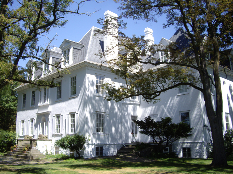
42°12′00″N 73°50′40″W / 42.2°N 73.844444°WLinlithgo 65 Olana 
October 15, 1966 Church Hill, E end of Rip Van Winkle Bridge
42°12′52″N 73°49′47″W / 42.214444°N 73.829722°WChurch Hill Moorish Revival home of Hudson River School artist Frederick Church 66 Old Parsonage 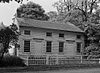
October 7, 1983 Buckwheat Bridge Rd.
42°05′32″N 73°49′07″W / 42.092222°N 73.818611°WClermont 67 Peck House July 22, 1999 NY 203
42°28′30″N 73°38′00″W / 42.475°N 73.633333°WChatham 68 Harriet Phillips Bungalow 
August 21, 1997 438 NY 23B
42°13′40″N 73°44′58″W / 42.227778°N 73.749444°WClaverack Intact 1926 bungalow; possibly a catalog home from a defunct competitor of Sears 69 Pine View Farm June 6, 2002 567 Collins St.
42°12′59″N 73°30′16″W / 42.216389°N 73.504444°WHillsdale 70 Rev. Dr. Elbert S. Porter House August 21, 1997 6163 New York State Route 9H
42°13′17″N 73°44′03″W / 42.221364°N 73.734211°WClaverack 71 Pratt Homestead Pratt HomesteadNovember 13, 2009 866 Route 203
42°19′44″N 73°33′04″W / 42.328889°N 73.551111°WSpencertown New listing; refnum 09000907 72 William and Victoria Pulver House April 6, 2005 2329 Cty Rd. 8
42°05′01″N 73°45′30″W / 42.083611°N 73.758333°WSnyderville 73 Reformed Dutch Church of Claverack 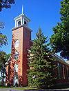
June 21, 2001 NY 9H, N of NY 23B
42°13′42″N 73°43′56″W / 42.228333°N 73.732222°WClaverack 1767 church, renovated and expanded in 19th century, is oldest institutional building in county 74 Requa House November 15, 2002 9 Requa Rd.
42°27′32″N 73°46′04″W / 42.458889°N 73.767778°WStuyvesant 75 Richmond Hill July 6, 1988 CR 31
42°07′36″N 73°49′11″W / 42.126667°N 73.819722°WLivingston 76 Riders Mills Historic District August 2, 2000 NY 66, Bachus Rd., Riders Mills Rd.
42°28′43″N 73°33′40″W / 42.478611°N 73.561111°WChatham 77 Simeon Rockefeller House Simeon Rockefeller HouseJuly 2, 2009 524 Columbia Co. Rte. 8
42°07′52″N 73°51′50″W / 42.131111°N 73.863889°WGermantown vicinity New listing; refnum 09000479 78 Rossman-Prospect Avenue Historic District 
October 21, 1985 Prospect and Rossman Aves.
42°14′40″N 73°46′46″W / 42.244444°N 73.779444°WHudson First planned subdivision in city outside of original grid plan in late 19th century 79 Rowe-Lant Farm Rowe-Lant FarmMarch 23, 2010 983 NY-295
42°24′19″N 73°32′16″W / 42.405353°N 73.537703°WEast Chatham New listing; refnum 10000099 80 R. and W. Scott Ice Company Powerhouse and Ice House Site February 21, 1985 River Rd.
42°21′28″N 73°47′22″W / 42.357778°N 73.789444°WStuyvesant 81 Silvernail Homestead Silvernail HomesteadJune 11, 2010 383 Poole Hill Rd.
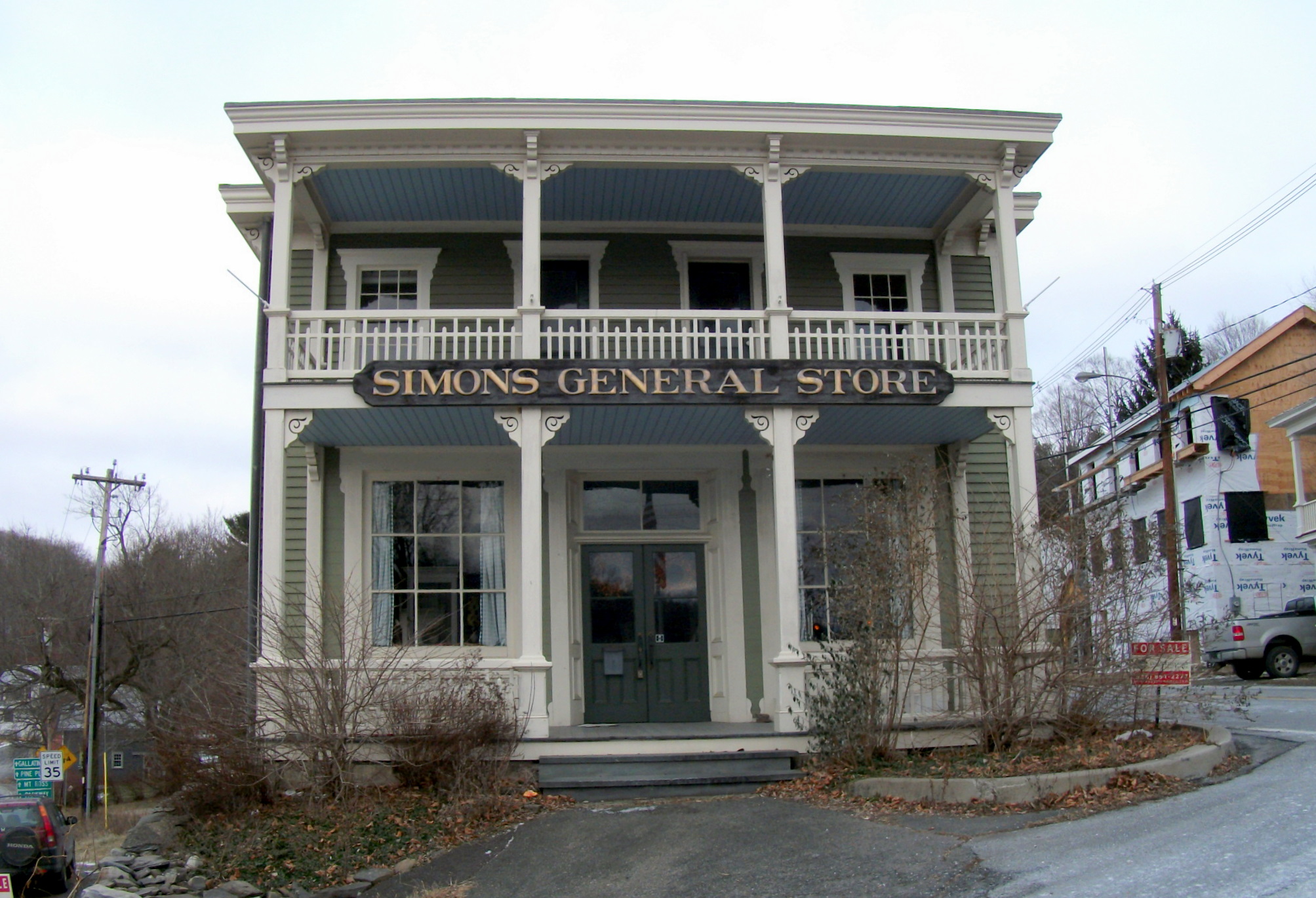
42°01′08″N 73°37′11″W / 42.019014°N 73.619683°WAncram New listing; refnum 10000332 82 Simons General Store 
April 23, 1973 Ancram Sq.
42°03′02″N 73°38′16″W / 42.050556°N 73.637778°WAncram 83 Sixteen Mile District March 7, 1979 W of Clermont along Hudson River
41°57′12″N 73°55′29″W / 41.953333°N 73.924722°WClermont 84 Snyderville Schoolhouse July 28, 2004 Cty Rd. 8, N side, W of Green Acres Rd.
42°04′52″N 73°45′10″W / 42.081111°N 73.752778°WSnyderville 85 Spencertown Academy 
April 3, 1973 NY 203, E of jct. with CR 7
42°19′19″N 73°32′39″W / 42.321944°N 73.544167°WSpencertown 1847 Greek Revival schoolhouse used until 1970 86 Spengler Bridge February 23, 1973 Spengler Rd. over Kinderhook Creek
42°25′51″N 73°35′59″W / 42.430833°N 73.599722°WChatham 87 St. John's Lutheran Church St. John's Lutheran ChurchJune 30, 2009 1273 Co. Rte. 7
42°02′58″N 73°38′19″W / 42.049533°N 73.638631°WAncram New listing; refnum 09000480 88 St. John's Evangelical Lutheran Church January 11, 2002 923 NY 19
42°05′36″N 73°47′48″W / 42.093333°N 73.796667°WLivingston 89 St. Luke's Church October 7, 1983 US 9
42°05′14″N 73°49′32″W / 42.087222°N 73.825556°WClermont 90 St. Peter's Presbyterian Church and Spencertown Cemetery 
August 2, 2002 Cty. Rte. 7, at NY 203
42°19′20″N 73°32′47″W / 42.322222°N 73.546389°WSpencertown 1771 New England-style frame church moved across road in 1826. Cemetery dates to 1760. 91 Steepletop 
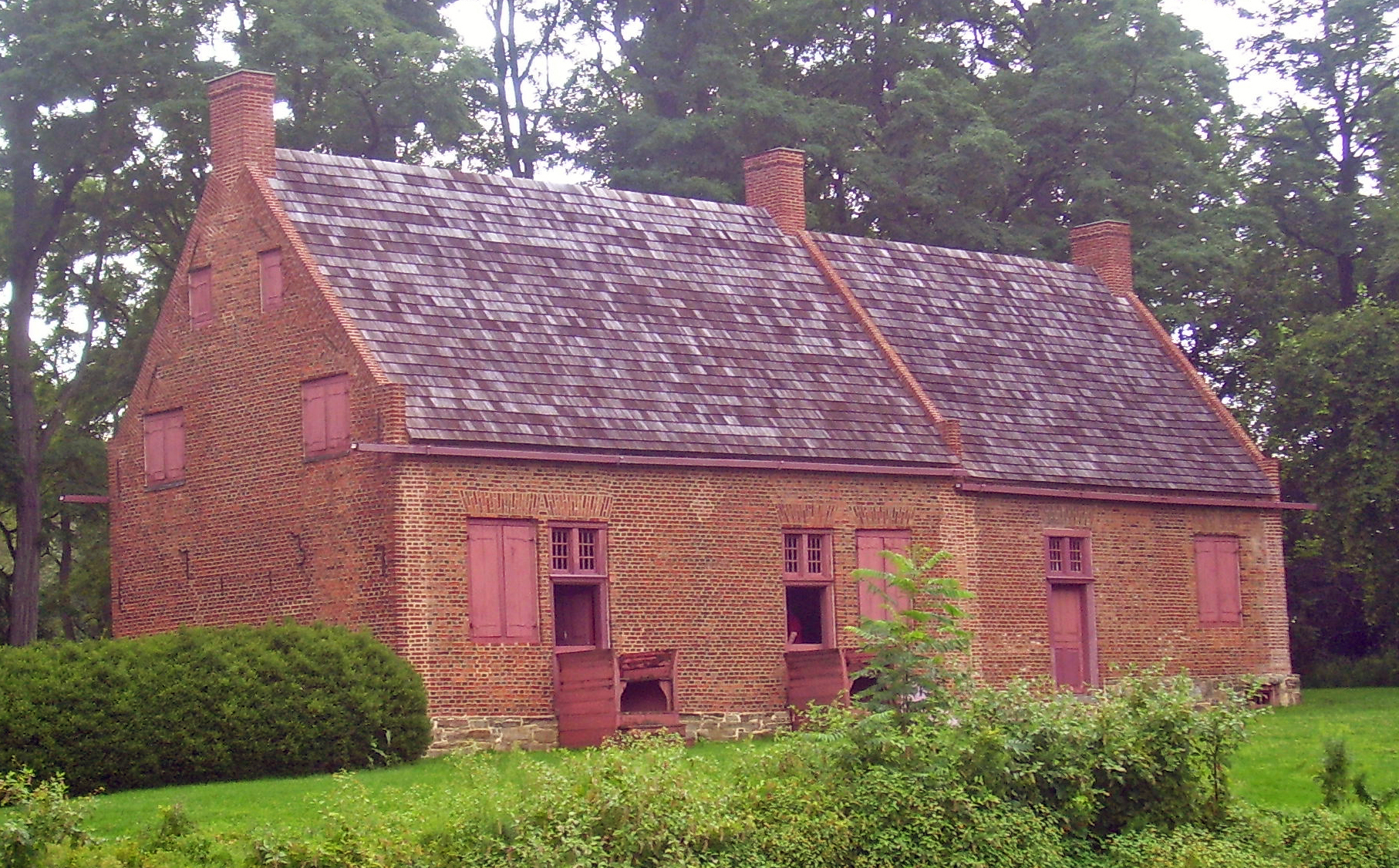
November 11, 1971 NE of Austerlitz on E. Hill Rd.
42°19′12″N 73°26′54″W / 42.32°N 73.448333°WAusterlitz Home and farm of poet Edna St. Vincent Millay from 1923 until her death in 1950. Now Millay Colony for the Arts 92 Stone Jug 
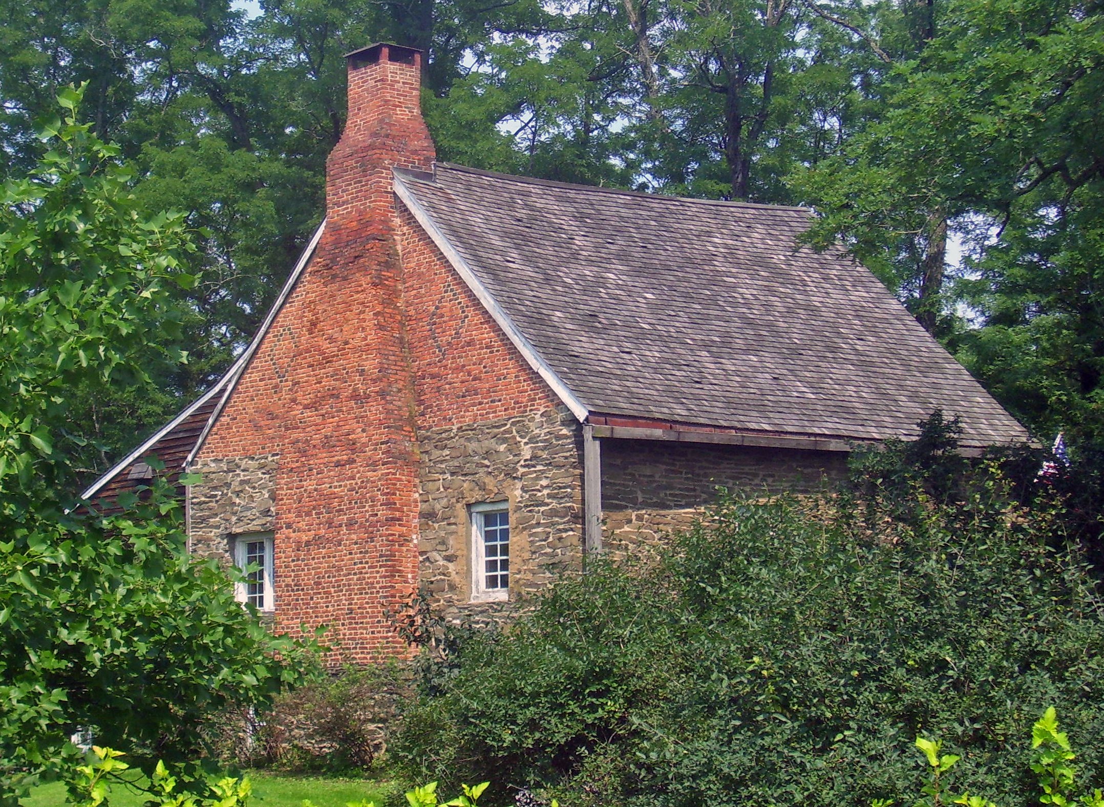
April 20, 1978 S of Germantown at NY 9G and Jug Rd.
42°06′11″N 73°53′47″W / 42.103056°N 73.896389°WGermantown Unusual stone house (with later brick additions) built in 1752 by Lasher family, Palatine immigrants to the area. Center of a farm of 20 acres (81,000 m2) that includes a mid-19th century farmhouse 93 Stephen Storm House 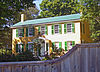
January 7, 1998 51 NY 217
42°13′35″N 73°42′53″W / 42.226389°N 73.714722°WClaverack Intact 1810 Federal-style house combining urban and rural aspects of style 94 Stuyvesant Falls Mill District September 15, 1976 New St. and SR 22
42°21′23″N 73°44′03″W / 42.356389°N 73.734167°WStuyvesant Falls 95 Stuyvesant Railroad Station January 27, 1999 Riverview Ave.
42°23′20″N 73°47′01″W / 42.388889°N 73.783611°WStuyvesant 96 Taconic State Parkway 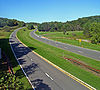
December 8, 2005 Taconic State Pkwy, fron Kensico Dam Plaza N to I-90
41°50′35″N 73°41′30″W / 41.843056°N 73.691667°WGallatin, Taghkanic, Claverack, Ghent, Austerlitz, Chatham Scenic divided highway planned by Franklin D. Roosevelt for state park access. Built between 1920s and early 1960s, epitomizing peak period of parkway design. 97 Teviotdale October 10, 1979 Wire Rd.
42°09′13″N 73°50′26″W / 42.153611°N 73.840556°WLinlithgo 98 Gov. Samuel J. Tilden Monument July 14, 2006 Cemetery Rd.
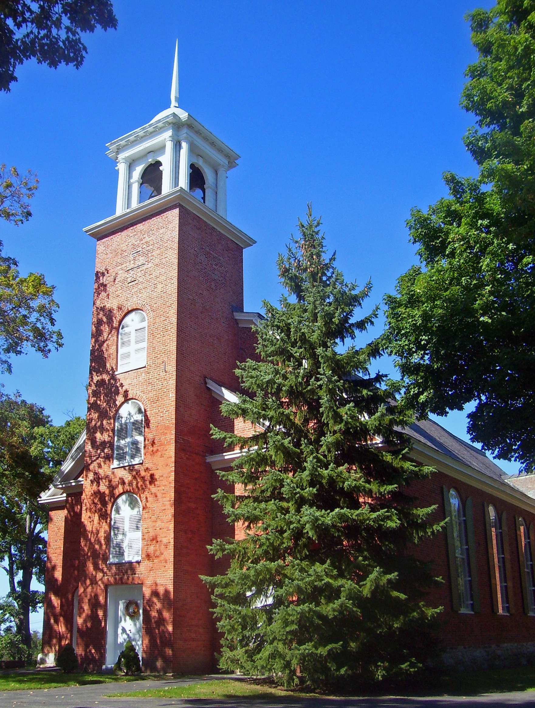
42°28′30″N 73°23′09″W / 42.475°N 73.385833°WNew Lebanon 99 Trinity Episcopal Church 
September 2, 1997 601 NY 23B
42°13′22″N 73°44′17″W / 42.222778°N 73.738056°WClaverack 1901 Arts and Crafts church now used as residence 100 Turtle House 
April 2, 2001 14 Fabiano Blvd.
42°15′38″N 73°46′04″W / 42.260556°N 73.767778°WGreenport 101 Union Station 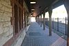
May 1, 1974 NY 66 at intersection with NY 295
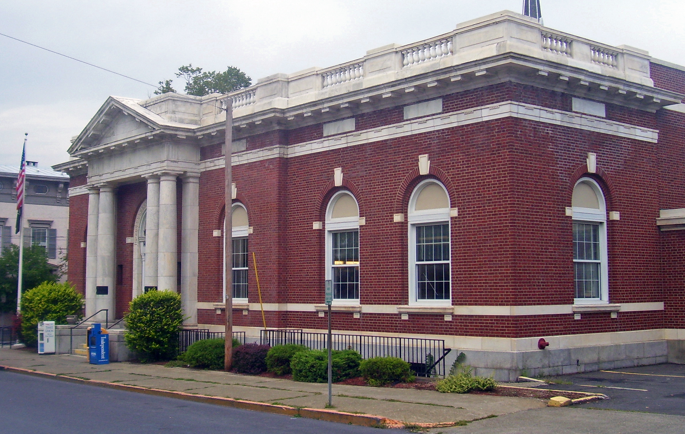
42°21′42″N 73°35′53″W / 42.361667°N 73.598056°WChatham 102 US Post Office-Hudson 
November 17, 1988 402 Union St.
42°15′01″N 73°47′22″W / 42.250278°N 73.789444°WHudson Classical detail on front of 1911 building echoes county courthouse across street 103 Johannis L. Van Alen Farm April 26, 1973 School House Rd.
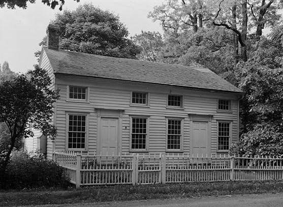
42°26′10″N 73°44′32″W / 42.436111°N 73.742222°WStuyvesant 104 Luycas Van Alen House 
December 24, 1967 E of Kinderhook on NY 9H off U.S. 9
42°22′47″N 73°41′45″W / 42.379722°N 73.695833°WKinderhook Well-preserved surviving 1737 Dutch colonial brick farmhouse 105 Martin Van Buren National Historic Site 
October 15, 1966 E of Kinderhook on NY 9H
42°22′11″N 73°42′15″W / 42.36972°N 73.70417°WKinderhook Home of Martin Van Buren; also known as Lindenwald 106 Jan Van Hoesen House 
August 1, 1979 NY 66
42°15′22″N 73°45′09″W / 42.256111°N 73.7525°WClaverack 1720s Dutch brick house 107 William W. Van Ness House August 8, 1997 270 NY 9H
42°14′22″N 73°43′33″W / 42.239444°N 73.725833°WClaverack 108 Van Rensselaer Lower Manor House 
January 7, 1998 103 NY 23B
42°13′29″N 73°43′32″W / 42.224722°N 73.725556°WClaverack Two 18th century stone houses joined in building with major local historical significance 109 Conyn Van Rensselaer House October 20, 2009 644 Spook Rock Rd.
42°12′01″N 73°45′15″W / 42.200289°N 73.754292°WClaverack New listing; refnum 09000861 110 Henry (Hendrick) I. Van Rensselaer House September 16, 1993 Jct. of Yates Rd. and NY 9H/23
42°11′18″N 73°45′26″W / 42.188333°N 73.757222°WGreenport 111 Jacob Rutsen Van Rensselaer House and Mill Complex September 9, 1982 NY 23
42°13′16″N 73°42′39″W / 42.221111°N 73.710833°WClaverack 112 Van Salsbergen House Van Salsbergen HouseNovember 10, 2010 333 Joslen Blvd.
42°16′10″N 73°46′05″W / 42.269444°N 73.768056°WHudson vicinity New listing; refnum 10000915 113 James G. Van Valkenburgh House April 11, 2002 31 Co. Rd. 13
42°25′18″N 73°36′30″W / 42.421667°N 73.608333°WChatham 114 Van Valkenburgh-Isbister Farm April 12, 2006 1129-1142 Columbia County Rte 22
42°19′15″N 73°41′28″W / 42.320833°N 73.691111°WGhent 115 The Wilbor House June 30, 1997 0.25 mi. NE of jct. of I-90 and Thorne Rd.
42°26′43″N 73°33′35″W / 42.445278°N 73.559722°WOld Chatham 116 Wild's Mill Complex June 14, 1982 U.S. 9 and NY 203
42°24′47″N 73°40′52″W / 42.413056°N 73.681111°WValatie Several former mills, including one five-story brick building built in 1846. Last remaining mill demolished around 1986. 117 Nathan Wild House May 30, 1991 3007 Main St.
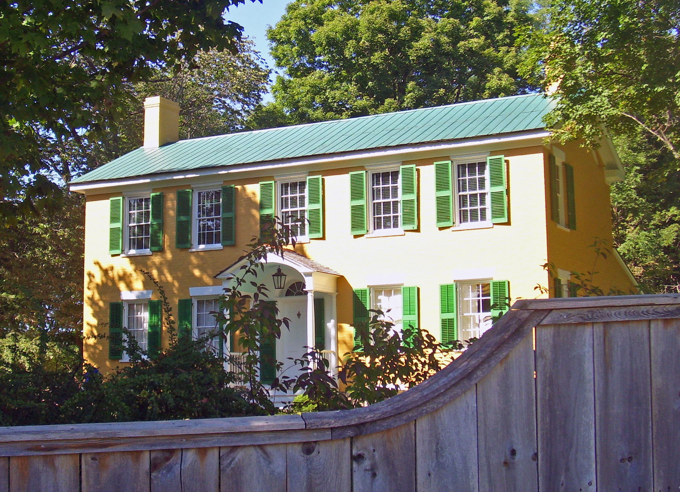
42°24′51″N 73°40′46″W / 42.414167°N 73.679444°WValatie Residence of local prominent figure who owned the Wild's Mill Complex 118 Elisha Williams House 
December 9, 1999 7 Aitkin Ave.
42°14′50″N 73°46′24″W / 42.247222°N 73.773333°WHudson 1810 Brick Federal house was home of nine-term state assemblyman and nationally known orator 119 John S. Williams House and Farm December 16, 1996 Shaker Museum Rd., approximately 1 mi. S of jct. with I-90
42°26′18″N 73°35′06″W / 42.438333°N 73.585°WChatham 120 Oliver Wiswall House September 4, 1980 W of Hudson
42°14′47″N 73°48′34″W / 42.246389°N 73.809444°WHudson 121 William A. Witbeck House December 12, 1994 Co. Rd. 26A, E of jct. with Gibbons Rd.
42°23′18″N 73°45′35″W / 42.388333°N 73.759722°WStuyvesant See also
References
- ^ The latitude and longitude information provided is primarily from the National Register Information System, and has been found to be fairly accurate for about 99% of listings. For 1%, the location info may be way off. We seek to correct the coordinate information wherever it is found to be erroneous. Please leave a note in the Discussion page for this article if you believe any specific location is incorrect.
- ^ "National Register of Historic Places: Weekly List Actions". National Park Service, United States Department of the Interior. Retrieved on November 18, 2011.
- ^ Numbers represent an ordering by significant words. Various colorings, defined here, differentiate National Historic Landmark sites and National Register of Historic Places Districts from other NRHP buildings, structures, sites or objects.
External links
A useful list of the above sites, with street addresses and other information, is available at Columbia County, New York, listing, at National Register of Historic Places.Com, a private site serving up public domain information on NRHPs.
Categories:- Columbia County, New York
- National Register of Historic Places in New York by county
-


Wikimedia Foundation. 2010.