- National Register of Historic Places listings in Onondaga County, New York
-
 Location of Onondaga County in New York
List of the National Register of Historic Places listings in Onondaga County, New York
This is intended to be a complete list of properties and districts listed on the National Register of Historic Places in Onondaga County, New York outside of the city of Syracuse. The locations of National Register properties and districts (at least for all showing latitude and longitude coordinates below) may be seen in a Google map by clicking on "Map of all coordinates".[1]
There are 135 properties and districts listed on the National Register in the county. Forty-nine are outside of the city of Syracuse, and are listed here. Eighty-six are in Syracuse and are listed at National Register of Historic Places listings in Syracuse, New York.
-
- This National Park Service list is complete through NPS recent listings posted November 18, 2011.[2]
Contents: Counties in New York Albany (Albany) – Allegany – Bronx – Broome – Cattaraugus – Cayuga – Chautauqua – Chemung – Chenango – Clinton – Columbia – Cortland – Delaware – Dutchess – Erie (Buffalo) – Essex – Franklin – Fulton – Genesee – Greene – Hamilton – Herkimer – Jefferson – Kings (Brooklyn) – Lewis – Livingston – Madison – Monroe (Rochester) – Montgomery – Nassau – New York (Manhattan – Below 14th Street, 14th to 59th Streets, 59th to 110th Streets, Above 110th Street, Islands) – Niagara – Oneida – Onondaga (Syracuse) – Ontario – Orange – Orleans – Oswego – Otsego – Putnam – Queens – Rensselaer – Richmond (Staten Island) – Rockland – Saratoga – Schenectady – Schoharie – Schuyler – Seneca – St. Lawrence – Steuben – Suffolk – Sullivan – Tioga – Tompkins – Ulster – Warren – Washington – Wayne – Westchester (New Rochelle, Peekskill, Yonkers) – Wyoming – Yates Listings in Onondaga County exclusive of Syracuse
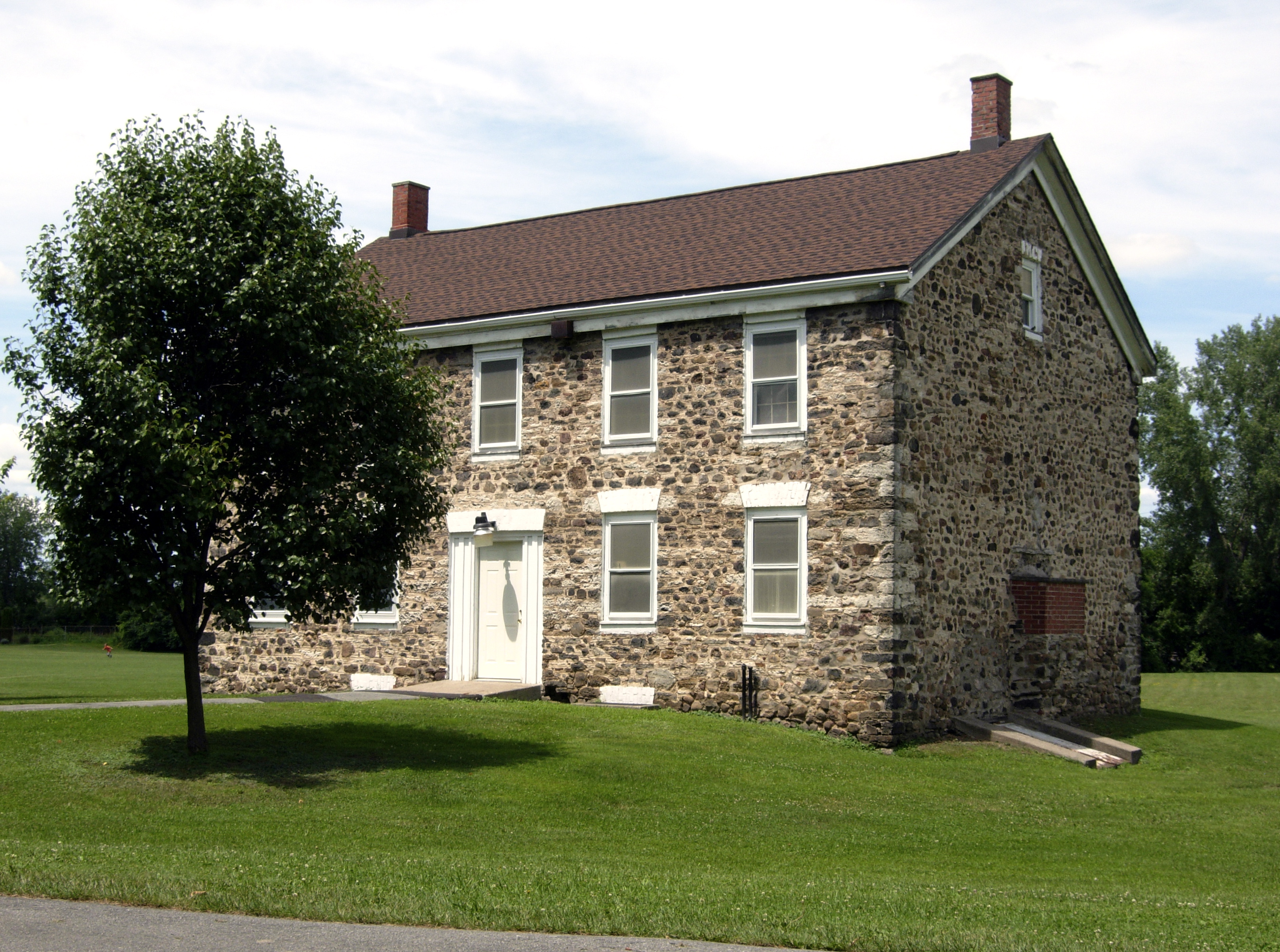
Landmark name Image Date listed Locality City or Town Description 1 Alvord House 
August 27, 1976 Fred Sehr Park, North of Syracuse on Berwick Road
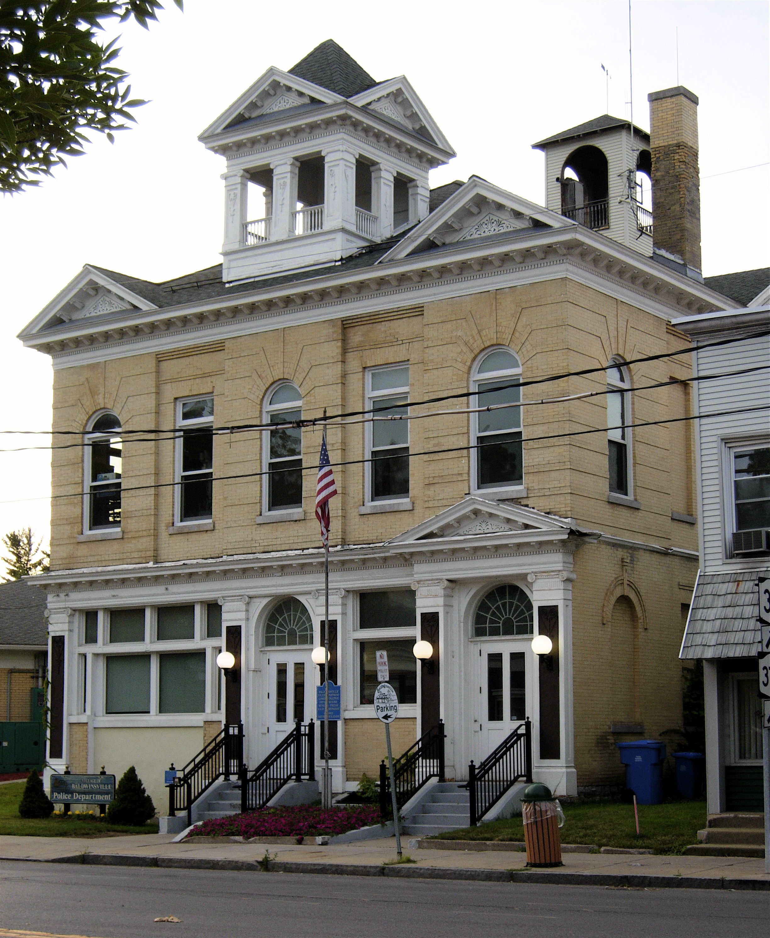
43°5′19″N 76°8′1″W / 43.08861°N 76.13361°WSalina Stone farmhouse of Alvord family, merchants in the salt manufacturing business of the Salina area in the early 19th century.[3] 2 Baldwinsville Village Hall 
May 9, 1997 16 W. Genesee St.
43°9′32″N 76°20′3″W / 43.15889°N 76.33417°WBaldwinsville 3 Borodino District School #8 
January 4, 2007 1845 Rose Hill Rd.
42°51′40″N 76°20′16″W / 42.86111°N 76.33778°WBorodino 4 Borodino Hall 
July 28, 2006 1861 E. Lake Rd.
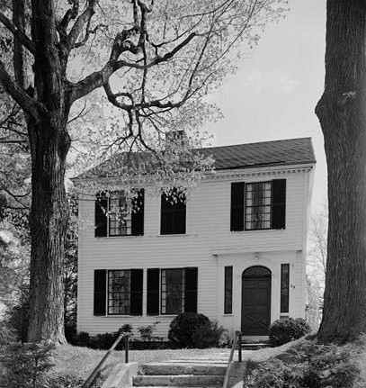
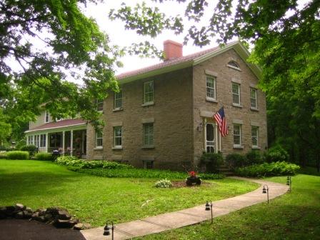
42°51′31″N 76°20′20″W / 42.85861°N 76.33889°WBorodino 5 Dan Bradley House 
December 12, 1978 59 South St.
42°58′35″N 76°20′24″W / 42.97639°N 76.34°WMarcellus 6 Brook Farm December 18, 2003 2870 W. Lake Rd.
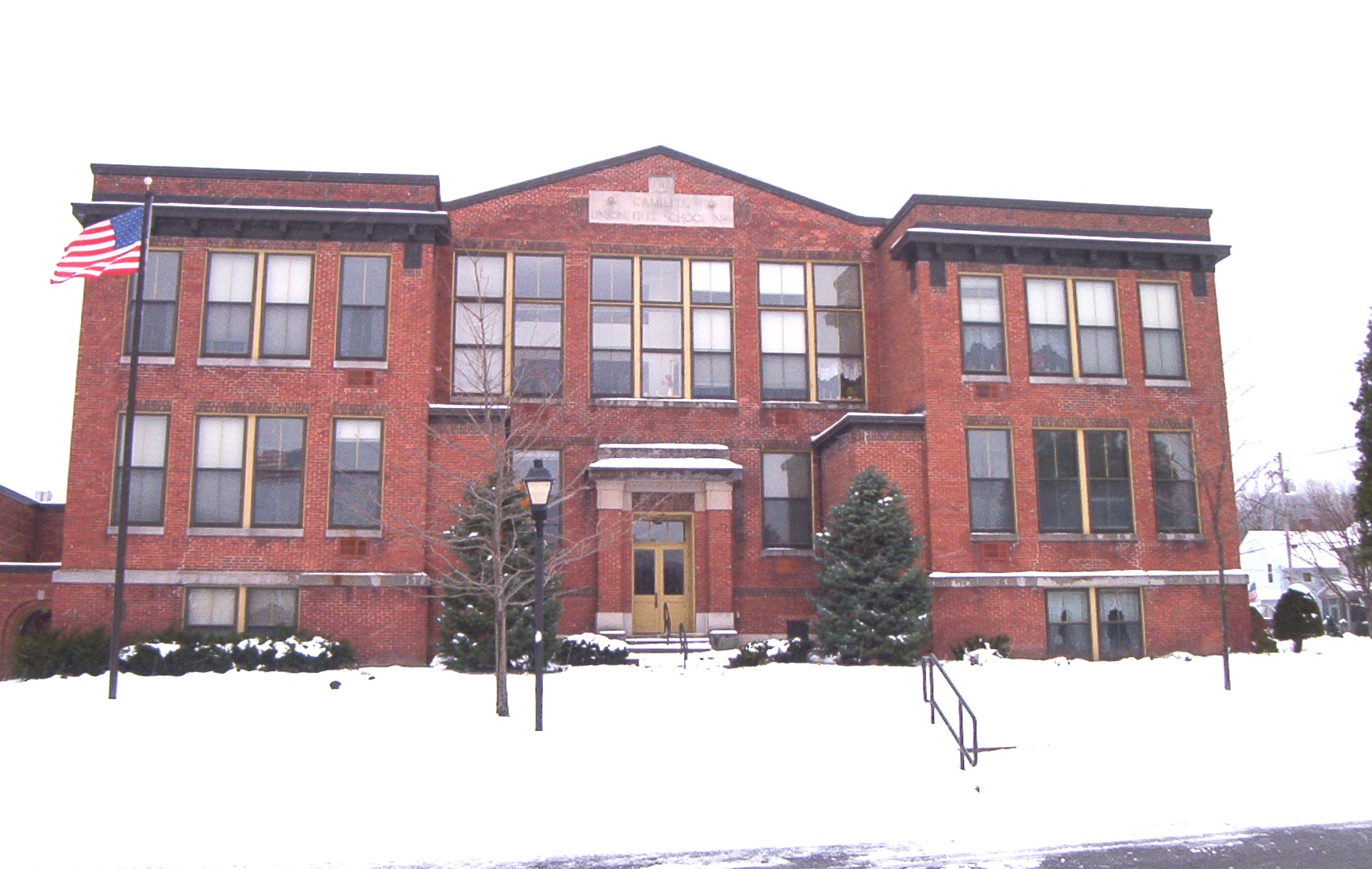
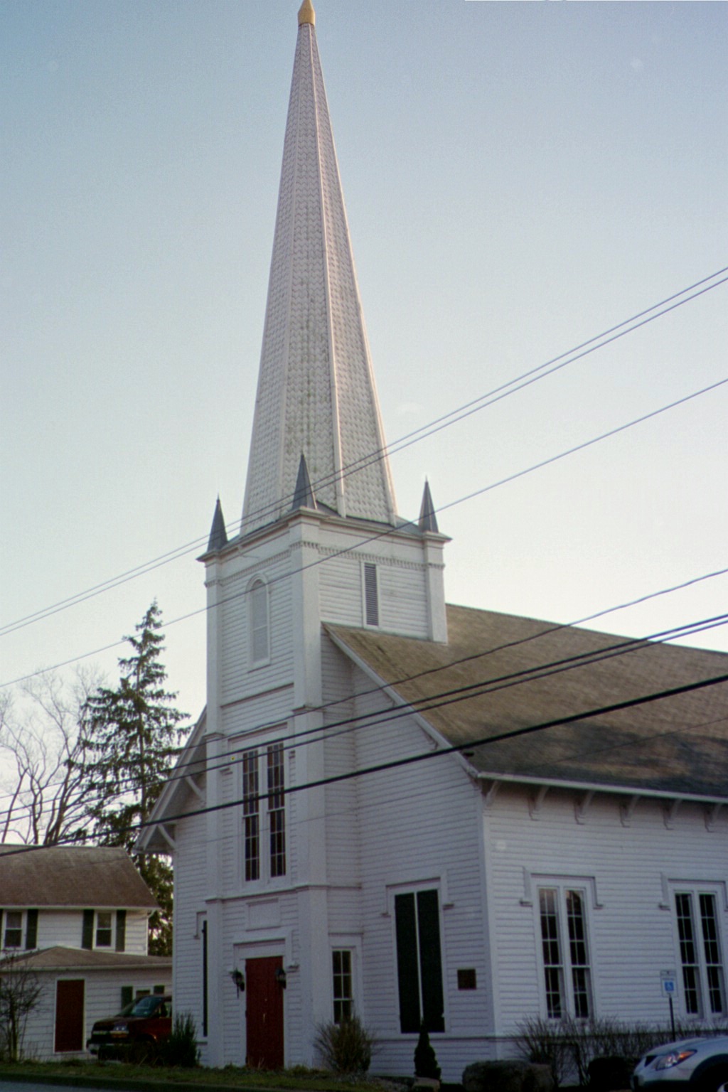
42°54′58″N 76°25′47″W / 42.91611°N 76.42972°WSkaneateles 7 Camillus Union Free School 
May 28, 1991 Jct. of First and LeRoy Sts.
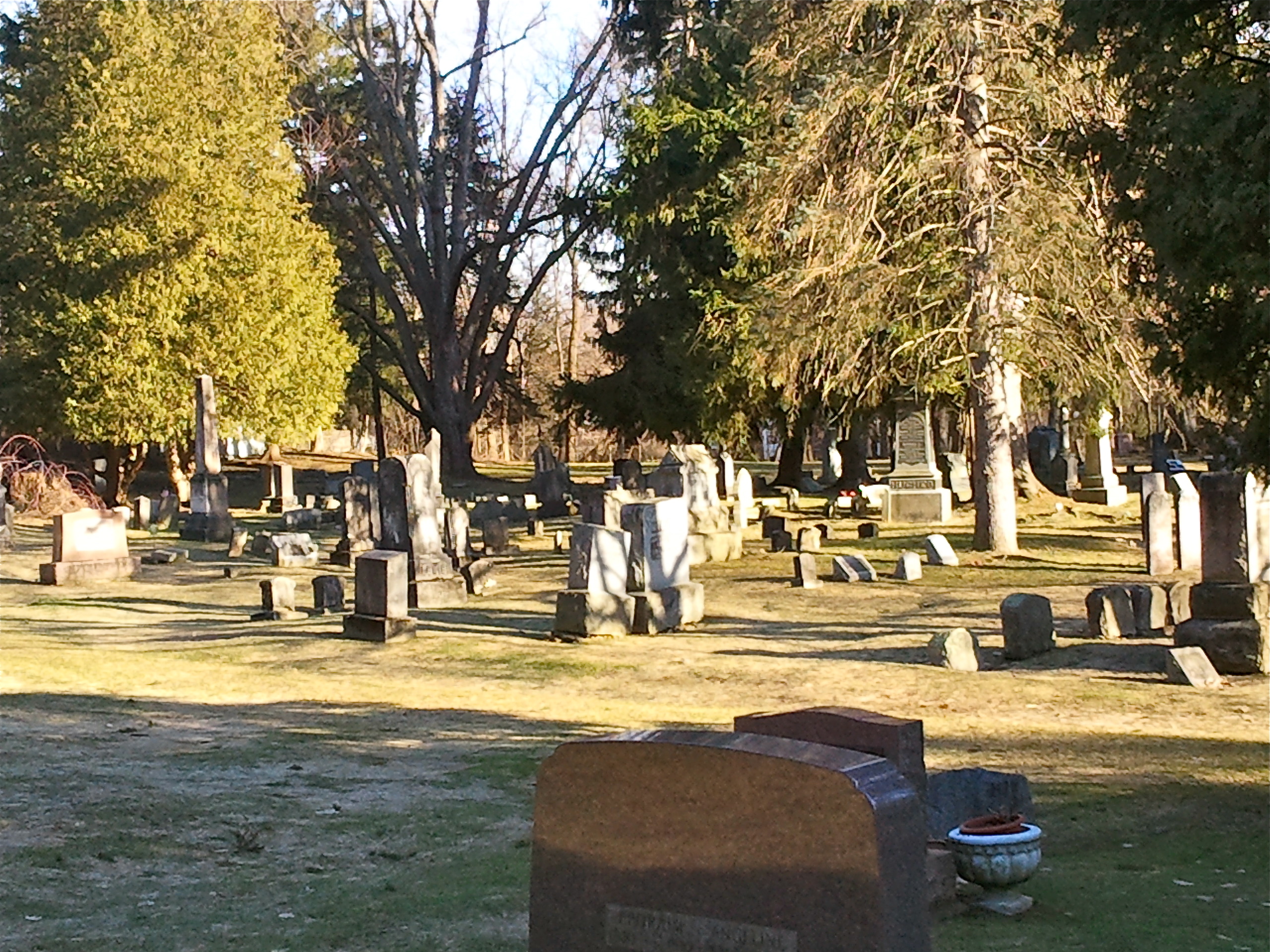
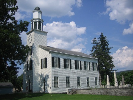
43°2′26″N 76°18′21″W / 43.04056°N 76.30583°WCamillus Village 8 Christ Church and Manlius Village Cemeteries 
January 25, 2007 East Seneca St.
43°0′9″N 75°58′12″W / 43.0025°N 75.97°WManlius 9 Church of the Good Shepherd (Syracuse, New York) 
May 8, 1997 NY 11A, S of jct. with Webster Rd., Onondaga Reservation
42°56′42″N 76°9′43″W / 42.945°N 76.16194°WOnondaga Indian Reservation 10 Community Place 
April 20, 1979 S of Skaneateles at 725 Sheldon Rd.
42°58′58″N 76°27′17″W / 42.98278°N 76.45472°WSkaneateles 11 Mrs. I. L. Crego House 
June 27, 2007 7979 Crego Rd.
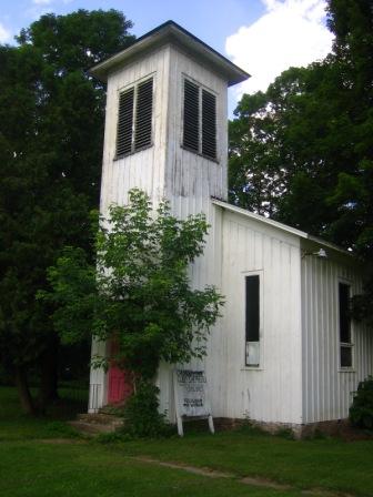
43°9′21″N 76°21′13″W / 43.15583°N 76.35361°WBaldwinsville 12 Delphi Baptist Church 
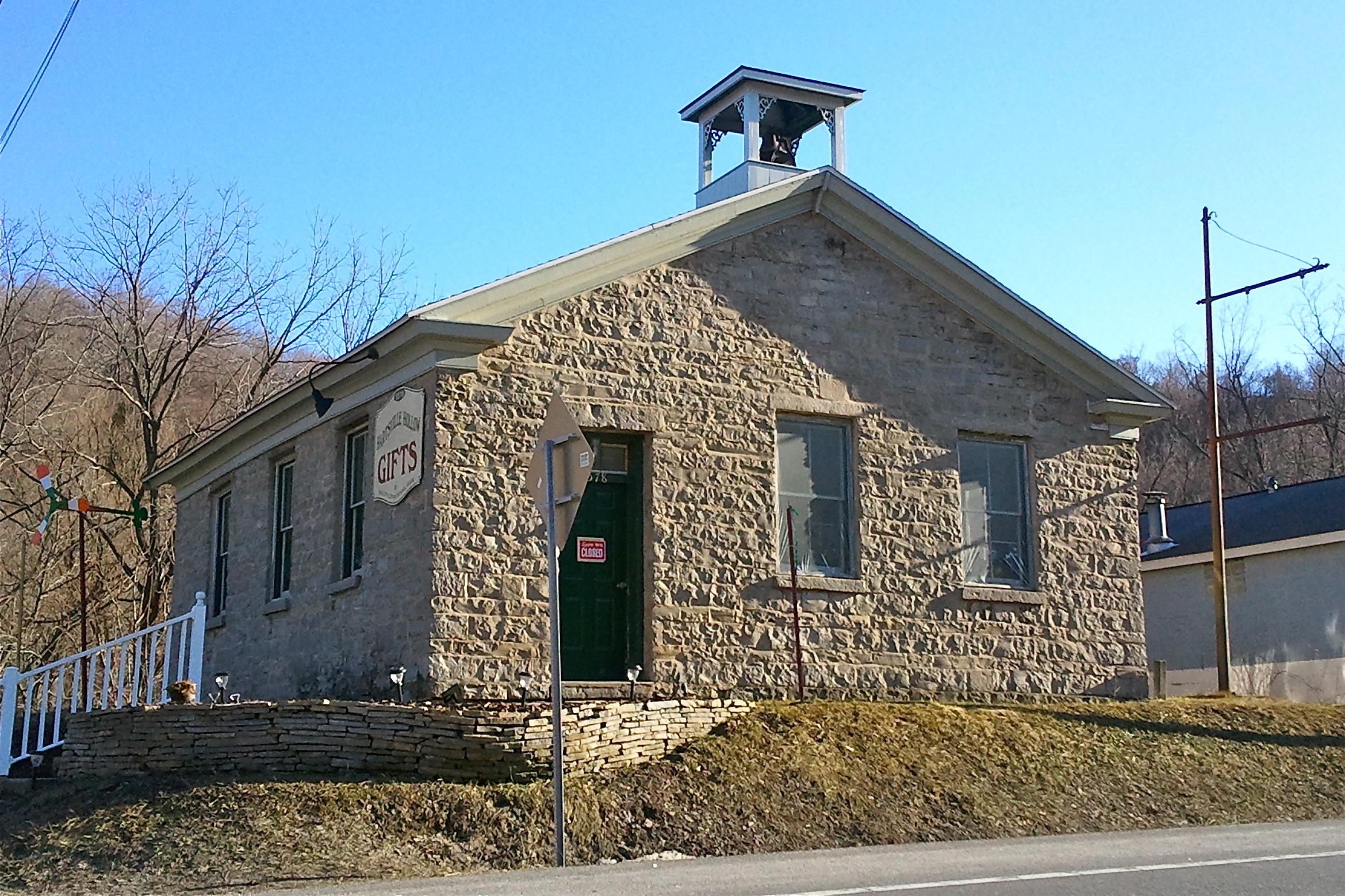
August 24, 1979 Oran-Delphi Rd.
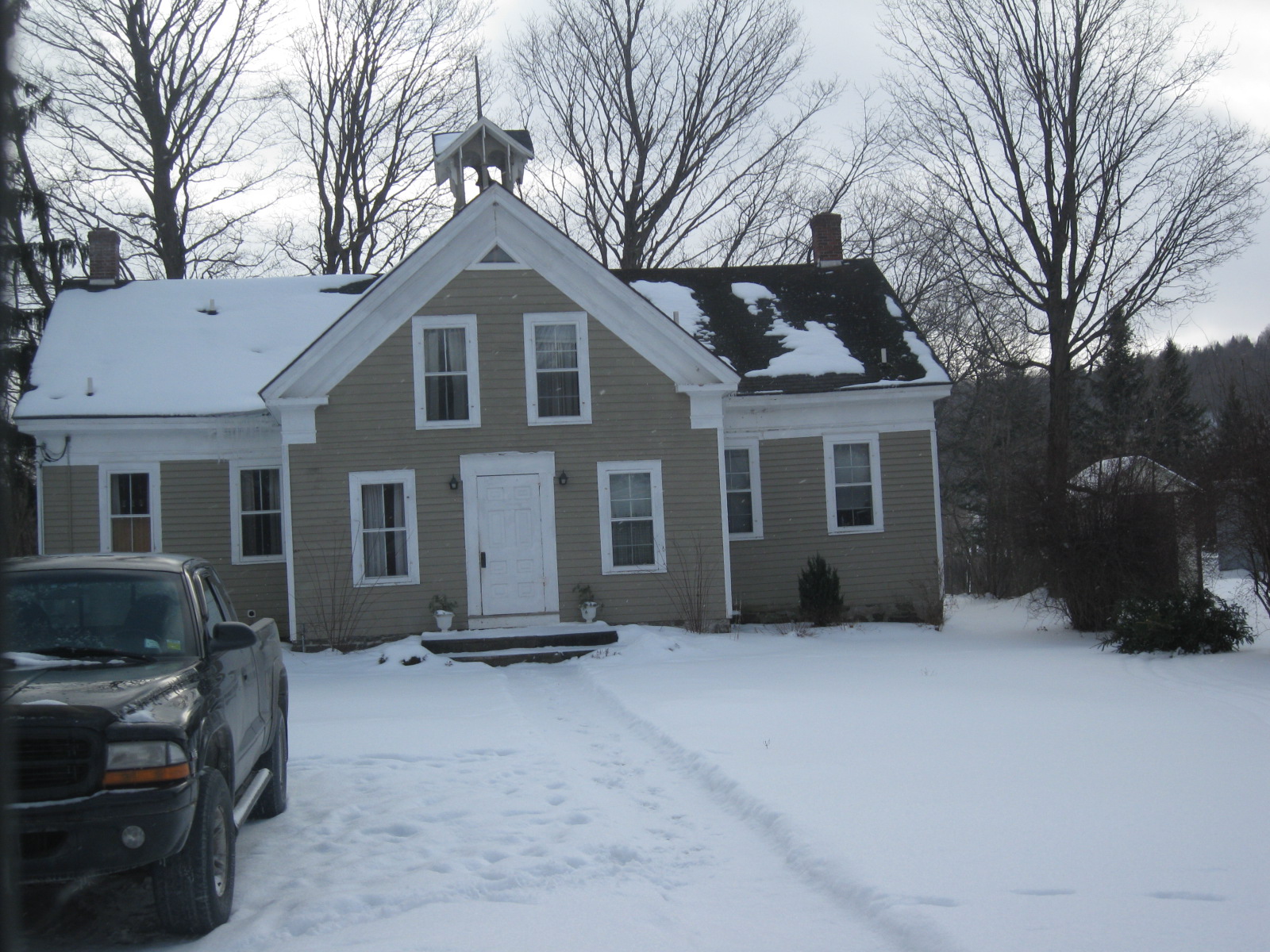
42°52′38″N 75°54′48″W / 42.87722°N 75.91333°WDelphi Falls 13 Delphi Village School 
May 22, 1986 East Rd.
42°52′31″N 75°54′54″W / 42.87528°N 75.915°WDelphi Falls 14 Drover's Tavern in Oran 
April 18, 2003 4065 Pompey Hollow Rd.
42°58′4″N 75°54′57″W / 42.96778°N 75.91583°WPompey It's in Oran actually. 15 Elbridge Village Historic District 
January 24, 2002 Roughly along NY 5 bet. Skaneatetes Creek and Carpenter's Brook
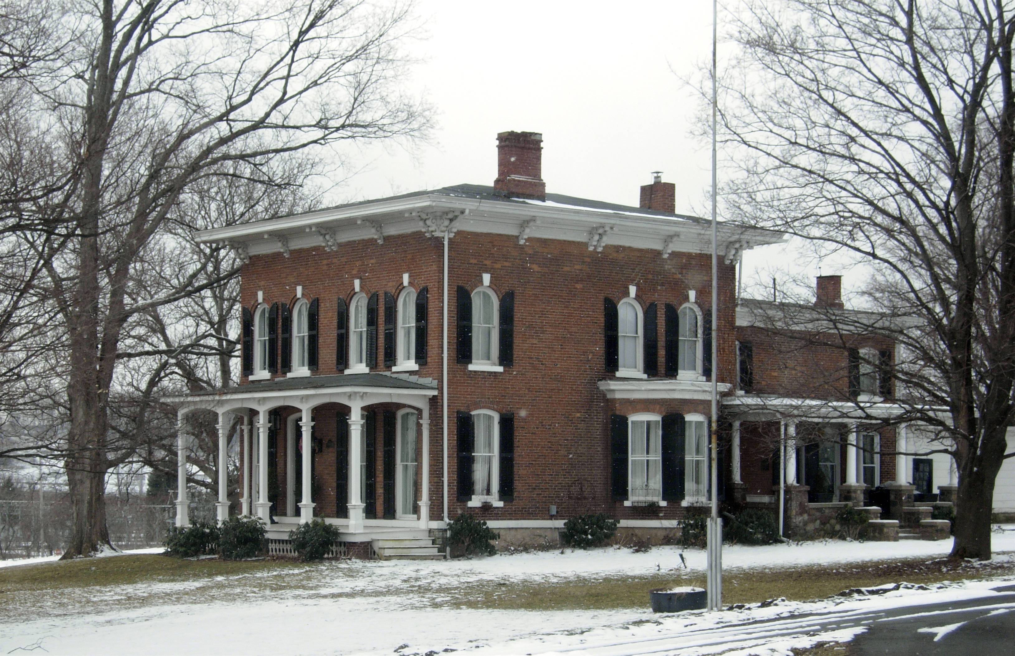
43°2′6″N 76°26′49″W / 43.035°N 76.44694°WElbridge 16 Charles Estabrook Mansion 
April 26, 1996 7262 E. Genesee St.
43°1′42″N 76°1′16″W / 43.02833°N 76.02111°WFayetteville 17 Fabius Village Historic District 
November 22, 2000 Roughly bounded by N. West St., Mill St., Keeney St., and Fabius Town Line
42°50′5″N 75°59′12″W / 42.83472°N 75.98667°WFabius 18 First Baptist Church of Camillus 
June 8, 2001 23 Genesee St.
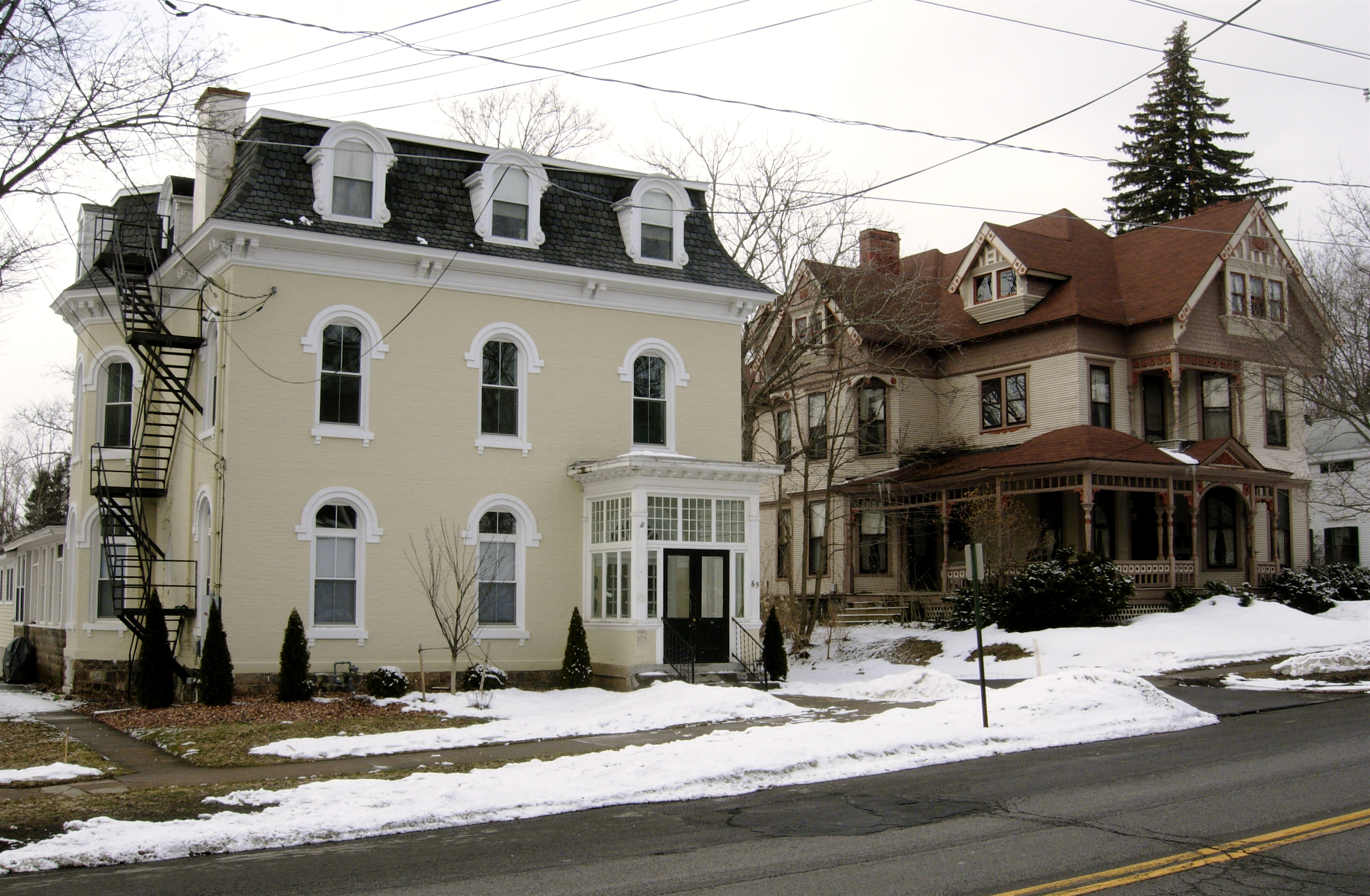
43°2′19″N 76°18′29″W / 43.03861°N 76.30806°WCamillus Village 19 James and Lydia Canning Fuller House 
July 3, 2003 W. Genesee St.
42°56′41″N 76°26′22″W / 42.94472°N 76.43944°WSkaneateles 20 Genesee Street Hill-Limestone Plaza Historic District 
July 29, 1982 Roughly both sides of Genesee St., from Chapel St. to Limestone Plaza
43°1′46″N 76°0′36″W / 43.02944°N 76.01°WFayetteville 21 Lucius Gleason House 
May 10, 1990 314 Second St.
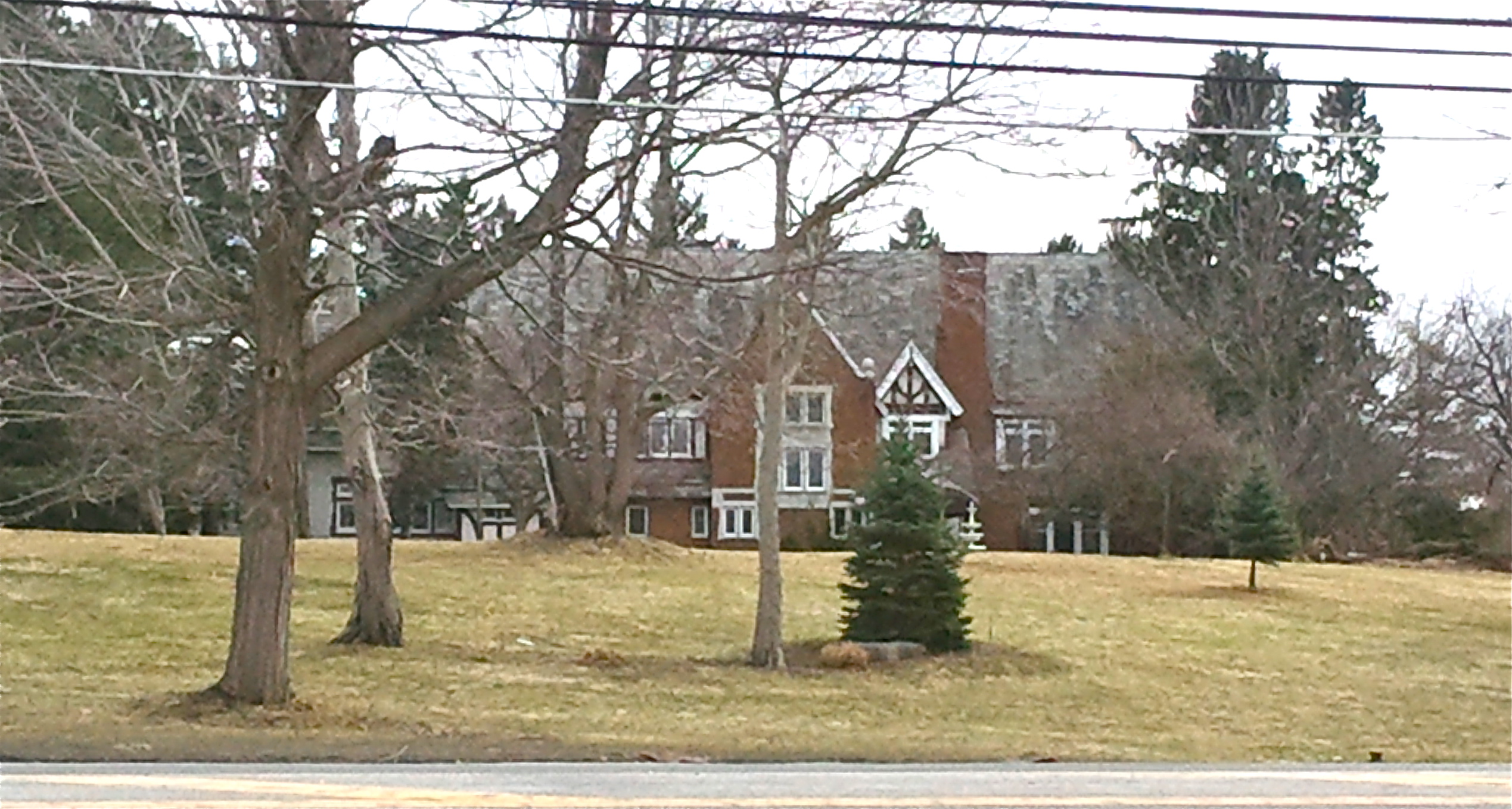
43°6′13″N 76°12′37″W / 43.10361°N 76.21028°WLiverpool 22 Hazelhurst 
May 28, 2010 150 E. Genesee St.
42°56′38.94″N 76°25′8.04″W / 42.94415°N 76.4189°WSkaneateles New listing; refnum 10000302 23 Gen. Orrin Hutchinson House 
April 13, 1973 4311 W. Seneca Tpke.
42°59′41″N 76°12′57″W / 42.99472°N 76.21583°WOnondaga 24 Dr. John Ives House 
August 29, 1985 6575 E. Seneca Turnpike
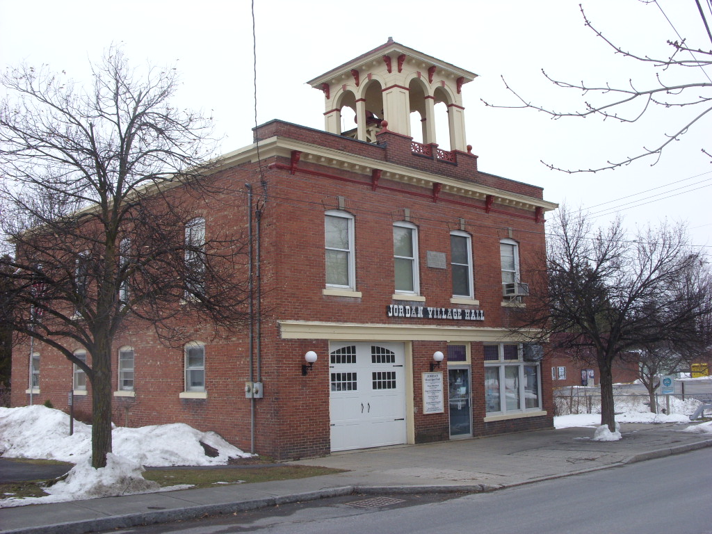
42°59′27″N 76°4′4″W / 42.99083°N 76.06778°WJamesville 25 Jordan Village Historic District 
September 15, 1983 Roughly bounded by N. Main, S. Main, Elbridge, Clinton, Hamilton, Lawrence, and Mechanic Sts.
43°3′55″N 76°28′25″W / 43.06528°N 76.47361°WJordan 26 Kelsey-Davey Farm 
April 16, 1980 NE of Skaneateles on Old Seneca Tpke.
42°59′1″N 76°23′23″W / 42.98361°N 76.38972°WSkaneateles 27 Manlius Village Historic District 
November 6, 1973 Pleasant, Franklin, North, Clinton, and E. Seneca Sts.
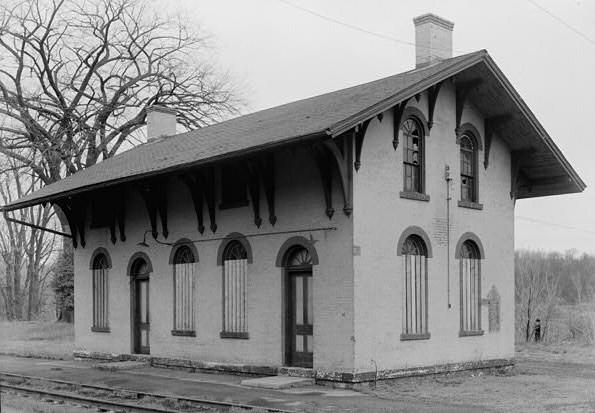
43°0′11″N 75°58′31″W / 43.00306°N 75.97528°WManlius 28 Martisco Station 
April 5, 2007 Martisco Rd., N of Lyons Rd.
43°1′2″N 76°20′9″W / 43.01722°N 76.33583°WMartisco 29 Mycenae Schoolhouse 
August 11, 1983 NY 5
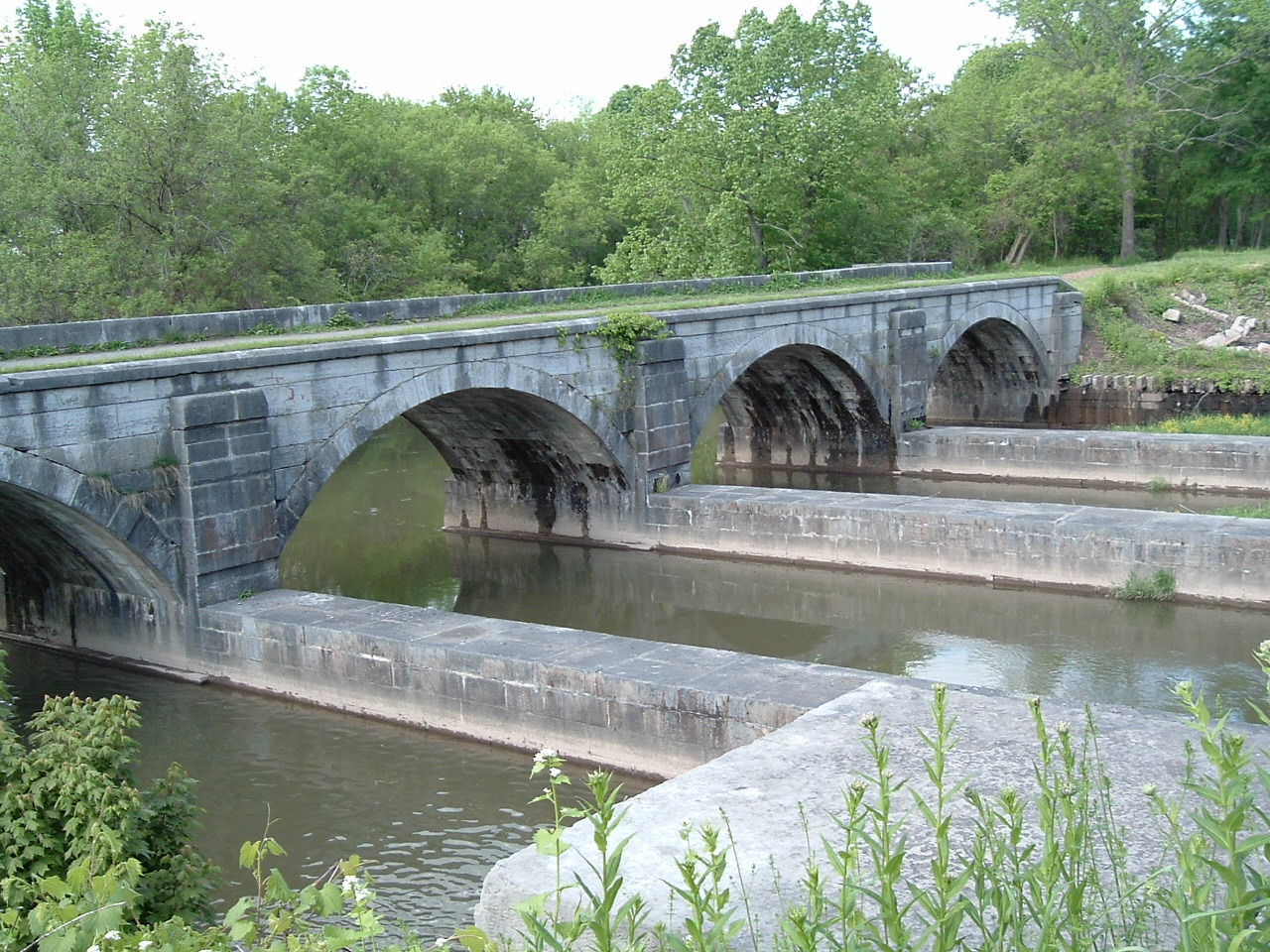
43°2′48″N 75°56′1″W / 43.04667°N 75.93361°WManlius 30 Nine Mile Creek Aqueduct 
May 17, 1976 NE of Camillus on Thompson Rd.
43°3′32″N 76°17′9″W / 43.05889°N 76.28583°WCamillus 31 Oran Community Church 
January 24, 2002 8560 Cazenovia Rd, NY 92
42°58′44″N 75°56′9″W / 42.97889°N 75.93583°WPompey 32 Oran District No. 22 Schoolhouse 
August 6, 1998 Jct. of Ny 92 and Delphi Rd.
42°58′43″N 75°56′6″W / 42.97861°N 75.935°WOran, in Pompey 33 Oswego-Oneida Streets Historic District 
July 29, 1982 Oswego, East and West Sts., and Sunset Terr.
43°9′41″N 76°20′8″W / 43.16139°N 76.33556°WBaldwinsville 34 Pompey Centre District No. 10 Schoolhouse 
August 6, 1998 8354 US 20
42°55′25″N 75°56′58″W / 42.92361°N 75.94944°WPompey Center, in Pompey 35 Saint Mark's Church (Jamesville, New York) 
March 9, 1997 6492 E. Seneca Trnpk.
42°59′28″N 76°4′21″W / 42.99111°N 76.0725°WJamesville 36 Shepard Settlement Cemetery 
November 29, 2010 Stump & Foster Rds
42°59′42.44″N 76°23′40.2″W / 42.9951222°N 76.3945°WShepard Settlement New listing; refnum 10000938 37 Skaneateles Historic District 
May 10, 1984 Jordan, Fennell, E. and W. Genesee Sts.
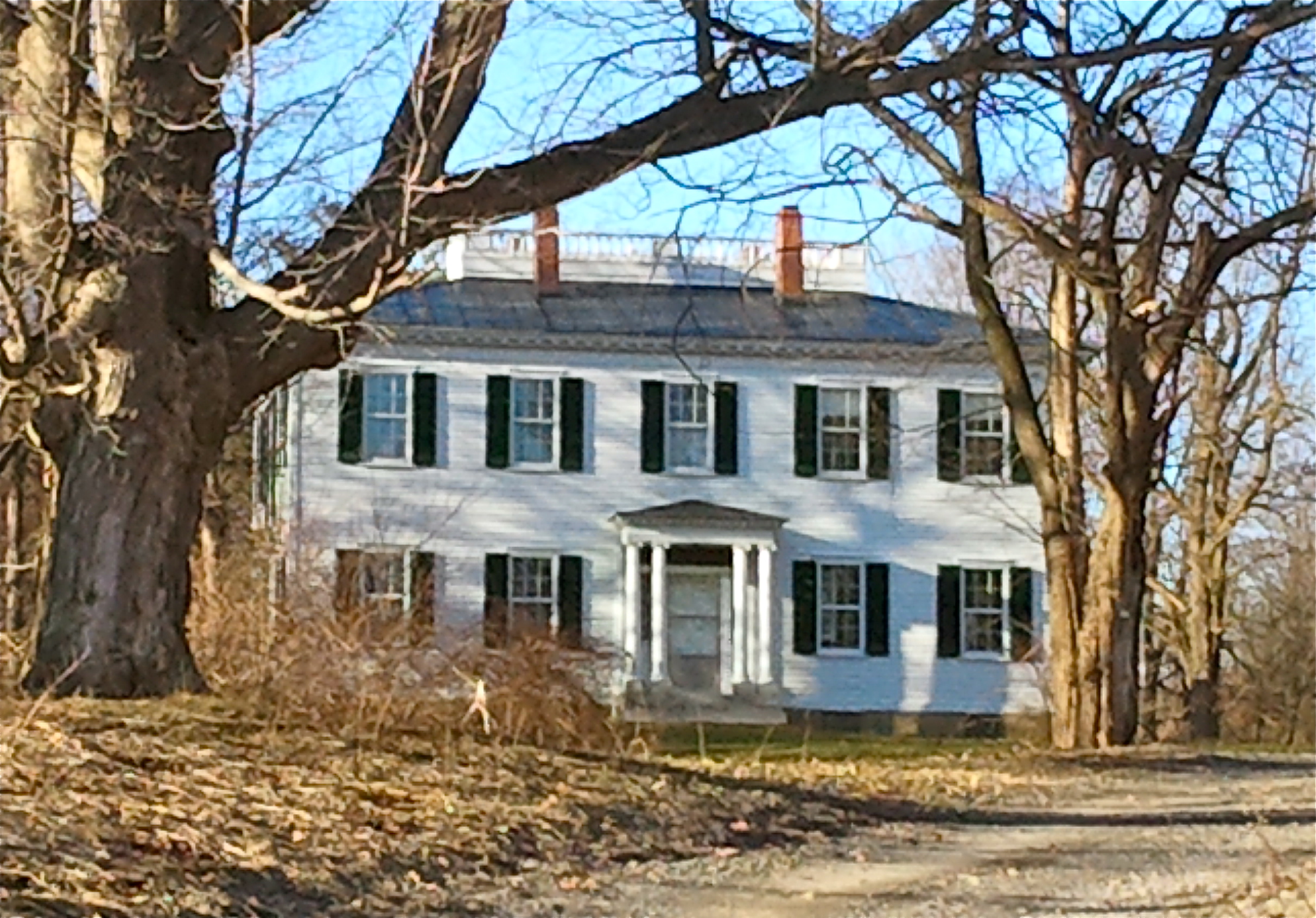
42°57′14″N 76°25′36″W / 42.95389°N 76.42667°WSkaneateles 38 Reuel E. Smith House 
July 27, 1979 28 W. Lake St.
42°56′31″N 76°26′5″W / 42.94194°N 76.43472°WSkaneateles Gaudy house designed by Alexander Jackson Davis 39 Levi Snell House 
August 20, 1987 416 Brooklea Dr.
43°2′5″N 76°0′30″W / 43.03472°N 76.00833°WFayetteville 40 Solvay Public Library 
October 31, 2007 615 Woods Rd.
43°3′27″N 76°12′26″W / 43.0575°N 76.20722°WSolvay 41 Southwood Two-Teacher School 
April 6, 2000 4621 Barker Hill Rd.
42°59′42″N 76°6′34″W / 42.995°N 76.10944°WJamesville 42 Stone Arabia School 
April 12, 2007 6453 NY 31
43°10′39″N 76°4′31″W / 43.1775°N 76.07528°WCicero 43 Tefft-Steadman House 
October 31, 2007 18 North St.
42°59′18″N 76°20′23″W / 42.98833°N 76.33972°WMarcellus 44 Whig Hill and Dependencies 
May 12, 1975 E. of Plainville at jct. of W. Genesee and Gates Rds.
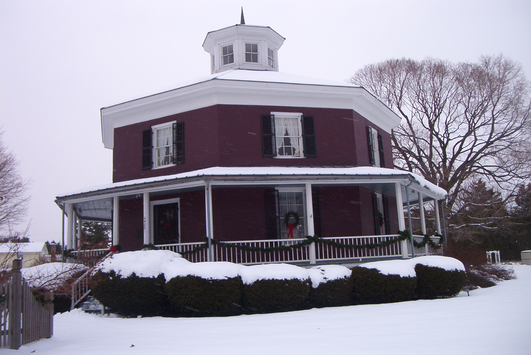
43°9′33″N 76°26′1″W / 43.15917°N 76.43361°WPlainville 45 Wilcox Octagon House 
July 28, 1983 5420 W. Genesee St.
43°2′28″N 76°16′42″W / 43.04111°N 76.27833°WCamillus Restricted listings
Certain individual listings on the NRHP are archaeological sites or other sensitive areas that could be subject to looting or other damage. Consequently, the National Park Service and the State Historic Preservation Office — the authorities that oversee the NRHP and its information — sometimes choose to restrict (i.e. decline to publish or otherwise release) details regarding the locations of such sites. In order to respect this restriction, the four such listings in Onondaga County are presented below without photos or location details.
Site name Date listed City or Town Vicinity Summary 1 Carley Onondaga Site January 10, 2011 Pompey vicinity 2 Elbridge Hydraulic Industry Archeological District June 15, 1982 Elbridge vicinity 3 Indian Castle Village Site January 10, 2011 Manlius vicinity 4 Robinson Site (AO67-02-0001) March 28, 1985 Brewerton vicinity See also
- National Register of Historic Places listings in New York
- National Register of Historic Places listings in Syracuse, New York
References
- ^ The latitude and longitude information provided in this table was derived originally from the National Register Information System, which has been found to be fairly accurate for about 99% of listings. For about 1% of NRIS original coordinates, experience has shown that one or both coordinates are typos or otherwise extremely far off; some corrections may have been made. A more subtle problem causes many locations to be off by up to 150 yards, depending on location in the country: most NRIS coordinates were derived from tracing out latitude and longitudes off of USGS topographical quadrant maps created under the North American Datum of 1927, which differs from the current, highly accurate WGS84 GPS system used by Google maps. Chicago is about right, but NRIS longitudes in Washington are higher by about 4.5 seconds, and are lower by about 2.0 seconds in Maine. Latitudes differ by about 1.0 second in Florida. Some locations in this table may have been corrected to current GPS standards.
- ^ "National Register of Historic Places: Weekly List Actions". National Park Service, United States Department of the Interior. Retrieved on November 18, 2011.
- ^ Cornelia E. Brooke (September 3, 1975). "National Register of Historic Places Registration: Alvord House". New York State Office of Parks, Recreation and Historic Preservation. http://www.oprhp.state.ny.us/hpimaging/hp_view.asp?GroupView=6274. Retrieved 2008-08-03. Note: Accompanying this are: "Accompanying two photos, from 1974". http://www.oprhp.state.ny.us/hpimaging/hp_view.asp?GroupView=6273. and "Accompanying nomination correspondence". http://www.oprhp.state.ny.us/hpimaging/hp_view.asp?GroupView=6272.
External links
- A list of the above sites, with street addresses and other information, is available at Onondaga County, NY listing of National Register of Historic Places.Com, a private site serving up NRHP information.
- The Greek Revival in Syracuse is an online book of Greek Revival architecture in Syracuse.
Categories:- National Register of Historic Places in New York by county
- Onondaga County, New York
-


Wikimedia Foundation. 2010.