- National Register of Historic Places listings in Rhinebeck, New York
-
List of the National Register of Historic Places listings in Rhinebeck, New York
This is intended to be a complete list of properties and districts listed on the National Register of Historic Places in the town and village of Rhinebeck, New York, including in the hamlet of Rhinecliff. The locations of National Register properties and districts (at least for all showing latitude and longitude coordinates below) may be seen in a Google map by clicking on "Map of all coordinates".[1]
-
- This National Park Service list is complete through NPS recent listings posted November 18, 2011.[2]
Contents: Counties in New York Albany (Albany) – Allegany – Bronx – Broome – Cattaraugus – Cayuga – Chautauqua – Chemung – Chenango – Clinton – Columbia – Cortland – Delaware – Dutchess – Erie (Buffalo) – Essex – Franklin – Fulton – Genesee – Greene – Hamilton – Herkimer – Jefferson – Kings (Brooklyn) – Lewis – Livingston – Madison – Monroe (Rochester) – Montgomery – Nassau – New York (Manhattan – Below 14th Street, 14th to 59th Streets, 59th to 110th Streets, Above 110th Street, Islands) – Niagara – Oneida – Onondaga (Syracuse) – Ontario – Orange – Orleans – Oswego – Otsego – Putnam – Queens – Rensselaer – Richmond (Staten Island) – Rockland – Saratoga – Schenectady – Schoharie – Schuyler – Seneca – St. Lawrence – Steuben – Suffolk – Sullivan – Tioga – Tompkins – Ulster – Warren – Washington – Wayne – Westchester (New Rochelle, Peekskill, Yonkers) – Wyoming – Yates Listed on the National Register
[3] Landmark name Image Date listed Location City or town Summary 1 Astor Home for Children 
July 9, 1987 36 Mill St.
41°55′29″N 73°54′49″W / 41.924722°N 73.913611°WRhinebeck 1914 institutional building by McKim, Mead and White in Jacobean Revival style 2 Barringer Farmhouse July 9, 1987 US 9
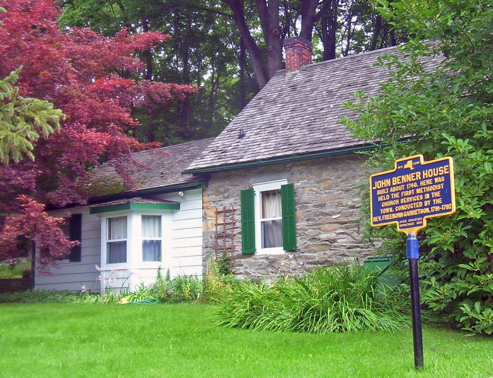
41°53′39″N 73°54′49″W / 41.894167°N 73.913611°WRhinebeck 3 Benner House 
July 9, 1987 1 Mill St.
41°55′14″N 73°54′36″W / 41.920556°N 73.91°WRhinebeck 1739 stone house is rare example of Hudson Valley one-room house in German vernacular tradition. It is the Oldest House in Rhinebeck Village. 4 Cox Farmhouse July 9, 1987 Old Post Rd. N
41°56′54″N 73°54′34″W / 41.948333°N 73.909444°WRhinebeck 5 Henry Delamater House 
May 7, 1973 44 Montgomery St.
41°55′42″N 73°54′49″W / 41.928333°N 73.913611°WRhinebeck Very ornate 1844 Carpenter Gothic house 6 Evangelical Lutheran Church of St. Peter 
April 24, 1975 2.25 mi (3.62 km). N of Rhinebeck on U.S. 9
41°57′45″N 73°53′12″W / 41.9625°N 73.886667°WRhinebeck 1786 rural stone church built for congregation started in 1730s. Known locally as Old Stone Church. 7 Evergreen Lands July 9, 1987 Delano Dr.
41°53′06″N 73°54′25″W / 41.885°N 73.906944°WRhinebeck 8 Fredenburg House July 9, 1987 Old Post Rd.
41°54′04″N 73°54′45″W / 41.901111°N 73.9125°WRhinebeck 9 Free Church Parsonage July 9, 1987 Jct. of William and Grinnell Sts.
41°55′03″N 73°57′09″W / 41.9175°N 73.9525°WRhinecliff 10 Grasmere July 9, 1987 Mill Rd.
41°54′48″N 73°54′43″W / 41.913333°N 73.911944°WRhinebeck 11 The Grove July 9, 1987 Jct. of Miller Rd. and NY 308
41°56′24″N 73°52′40″W / 41.94°N 73.877778°WRhinebeck 12 Heermance House and Law Office 
July 9, 1987 Jct. of Rhinecliff and Long Dock Rds.
41°55′42″N 73°56′39″W / 41.928333°N 73.944167°WRhinecliff 13 Hillside Methodist Church July 9, 1987 US 9
41°53′06″N 73°54′42″W / 41.885°N 73.911667°WRhinebeck 14 Hudson River Heritage Historic District 
December 14, 1990 E. side Hudson R. between Germantown and Staatsburg Rhinecliff 35-square-mile (91 km2) strip of Hudson River shoreline and inland with land use and architecture strongly reflecting quasi-feudal ownership 15 Kip-Beekman-Heermance Site (A027-16-0223) 
April 19, 1989 Address Restricted Rhinecliff 16 Mansakenning July 9, 1987 Ackert Hook Rd.
41°54′18″N 73°54′00″W / 41.905°N 73.9°WRhinebeck 17 The Maples 
July 9, 1987 108 Montgomery St.
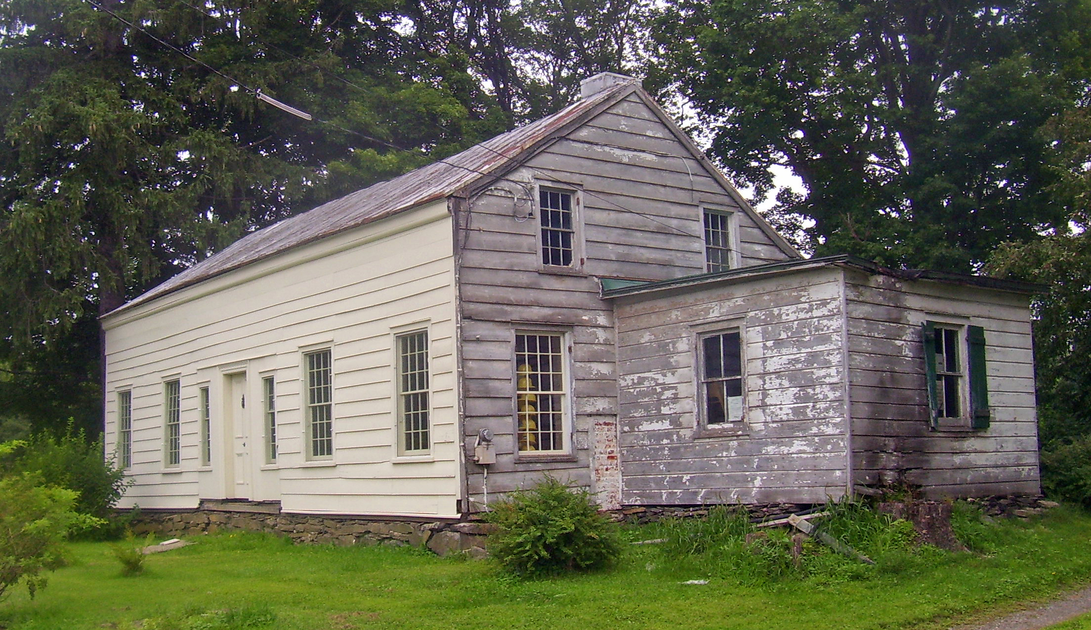
41°56′09″N 73°54′57″W / 41.935833°N 73.915833°WRhinebeck 1833 Greek Revival house with 1860s Picturesque detailing. 18 J. W. Moore House July 9, 1987 Mill Rd.
41°53′59″N 73°55′37″W / 41.899722°N 73.926944°WRhinebeck 19 Morton Memorial Library 
July 9, 1987 Kelly St.
41°55′08″N 73°57′06″W / 41.918889°N 73.951667°WRhinecliff 1905 Colonial Revival house situated on a small knoll along a local street. 20 Neher-Elseffer House 
April 18, 2003 6196 US 9
41°57′32″N 73°53′32″W / 41.958889°N 73.892222°WRhinebeck 1746 house is a rare surviving pre-Revolutionary frame house in area. Now owned by town. 21 O'Brien General Store and Post Office 
July 9, 1987 Jct. of Schatzell Ave. and Charles St.
41°55′11″N 73°57′06″W / 41.919722°N 73.951667°WRhinecliff 22 Jan Pier House July 9, 1987 NY 308
41°55′42″N 73°54′05″W / 41.928333°N 73.901389°WRhinebeck 23 Pilgrim's Progress Road Bridge July 9, 1987 Miller Rd. S of NY 308
41°56′22″N 73°52′50″W / 41.939444°N 73.880556°WRhinebeck 24 Progue House July 9, 1987 Primrose Hill Rd.
41°53′17″N 73°52′53″W / 41.888056°N 73.881389°WRhinebeck 25 Rhinebeck Village Historic District 
August 8, 1979 U.S. 19 and NY 308
41°55′41″N 73°54′33″W / 41.928056°N 73.909167°WRhinebeck Well-preserved and cohesive collection of historic buildings 26 Rhinecliff Hotel 
July 9, 1987 Schatzell Ave.
41°55′11″N 73°57′10″W / 41.919722°N 73.952778°WRhinecliff 27 Riverside Methodist Church and Parsonage 
July 9, 1987 Charles and Orchard Sts.
41°55′12″N 73°57′03″W / 41.92°N 73.950833°WRhinecliff 28 Rock Ledge November 28, 1989 Roughly Ackert Hook Rd., Haggerty Hill Rd., and Troy Dr.
41°53′41″N 73°53′43″W / 41.894722°N 73.895278°WRhinebeck 29 Salisbury Turnpike Bridge July 9, 1987 Old Turnpike Rd.
41°56′20″N 73°52′46″W / 41.938889°N 73.879444°WRhinebeck 30 Robert Sands Estate February 24, 1975 1.5 mi (2.4 km). E of Rhinebeck at NY 308 and NY 9
41°56′06″N 73°52′40″W / 41.935°N 73.877778°WRhinebeck 31 Sipperly Lown Farmhouse July 9, 1987 US 9
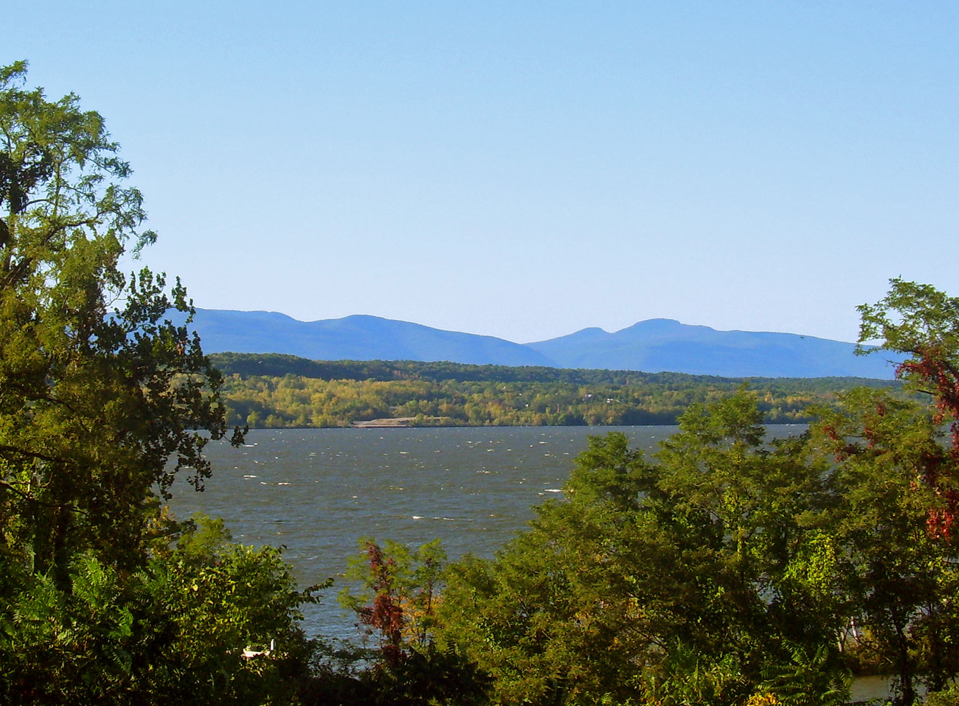
41°57′57″N 73°53′08″W / 41.965833°N 73.885556°WRhinebeck 32 Sixteen Mile District March 7, 1979 W of Clermont along Hudson River
41°57′12″N 73°55′29″W / 41.953333°N 73.924722°WRhinebeck 33 Slate Quarry Road Dutch Barn July 9, 1987 Slate Quarry Rd.
41°54′39″N 73°51′32″W / 41.910833°N 73.858889°WRhinebeck 34 Steenburg Tavern July 9, 1987 US 9
41°54′36″N 73°54′33″W / 41.91°N 73.909167°WRhinebeck 35 Stonecrest July 9, 1987 Old Post Rd.
41°52′33″N 73°54′49″W / 41.875833°N 73.913611°WRhinebeck 36 Strawberry Hill July 9, 1987 Ackert Hook Rd.
41°52′58″N 73°53′02″W / 41.882778°N 73.883889°WRhinebeck 37 Traver House July 9, 1987 Wynkoop Ln.
41°56′30″N 73°53′51″W / 41.941667°N 73.8975°WRhinebeck 38 J. E. Traver Farm July 9, 1987 Violet Hill Rd.
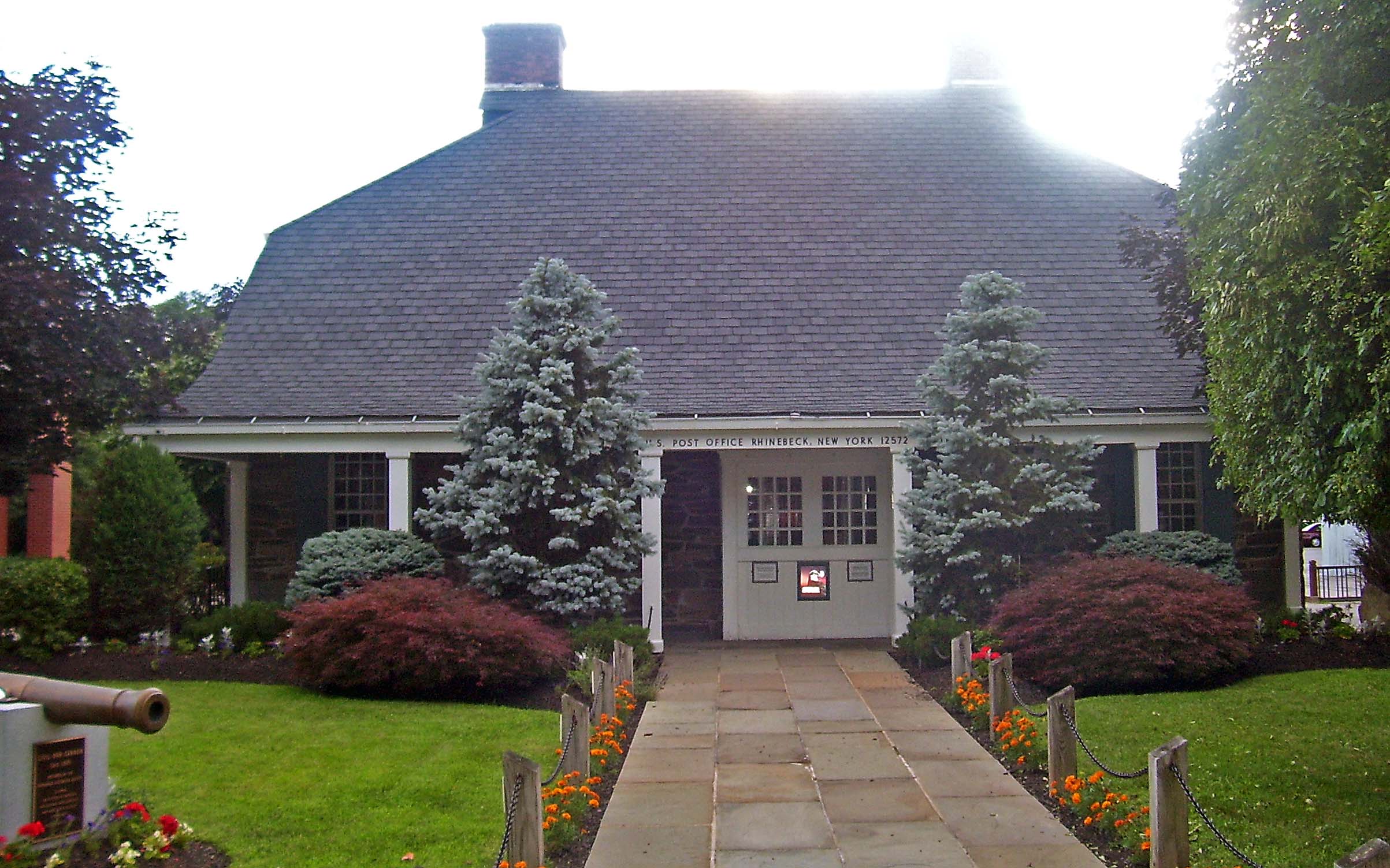
41°55′34″N 73°52′31″W / 41.926111°N 73.875278°WRhinebeck 39 US Post Office-Rhinebeck 
May 11, 1989 14 Mill St.
41°55′34″N 73°54′49″W / 41.926111°N 73.913611°WRhinebeck Built in imitation of Beekman House under the direction of then-President Franklin D. Roosevelt 40 Van Vredenburg Farm July 9, 1987 Cedar Heights Rd.
41°56′34″N 73°52′46″W / 41.942778°N 73.879444°WRhinebeck 41 Williams Farm July 9, 1987 Enterprise Rd.
41°56′09″N 73°50′08″W / 41.935833°N 73.835556°WRhinebeck See also
- National Register of Historic Places listings in Dutchess County, New York
- National Register of Historic Places listings in New York
References
- ^ The latitude and longitude information provided in this table was derived originally from the National Register Information System, which has been found to be fairly accurate for about 99% of listings. For about 1% of NRIS original coordinates, experience has shown that one or both coordinates are typos or otherwise extremely far off; some corrections may have been made. A more subtle problem causes many locations to be off by up to 150 yards, depending on location in the country: most NRIS coordinates were derived from tracing out latitude and longitudes off of USGS topographical quadrant maps created under the North American Datum of 1927, which differs from the current, highly accurate WGS84 GPS system used by Google maps. Chicago is about right, but NRIS longitudes in Washington are higher by about 4.5 seconds, and are lower by about 2.0 seconds in Maine. Latitudes differ by about 1.0 second in Florida. Some locations in this table may have been corrected to current GPS standards.
- ^ "National Register of Historic Places: Weekly List Actions". National Park Service, United States Department of the Interior. Retrieved on November 18, 2011.
- ^ Numbers represent an ordering by significant words. Various colorings, defined here, differentiate National Historic Landmark sites and National Register of Historic Places Districts from other NRHP buildings, structures, sites or objects.
Categories:- National Register of Historic Places in New York by county
- Buildings and structures in Rhinebeck, New York
-


Wikimedia Foundation. 2010.